About this sheet
Blaeu Map of León & Asturias – Legionis Regnum, Antique Spain Chart 1642
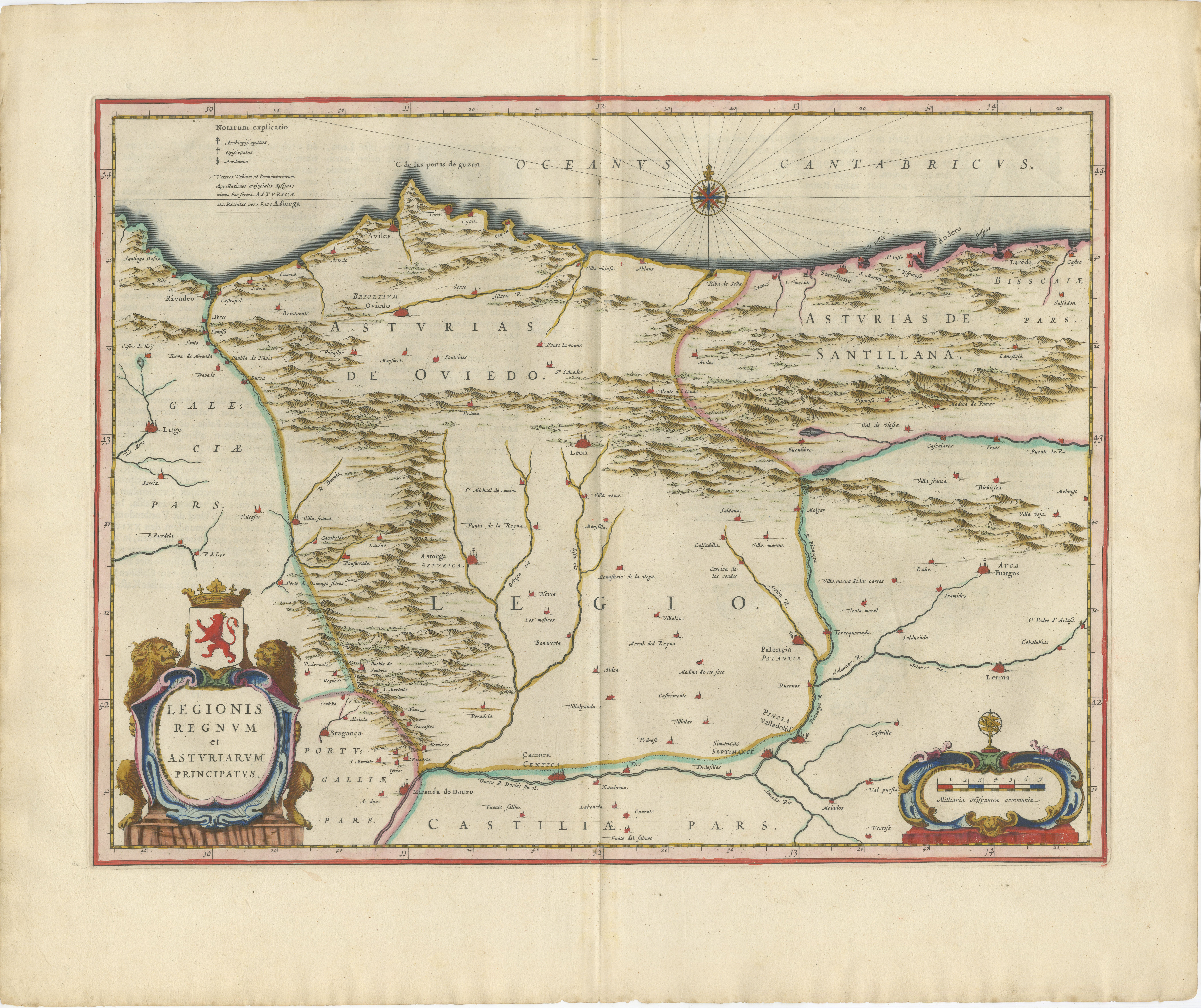
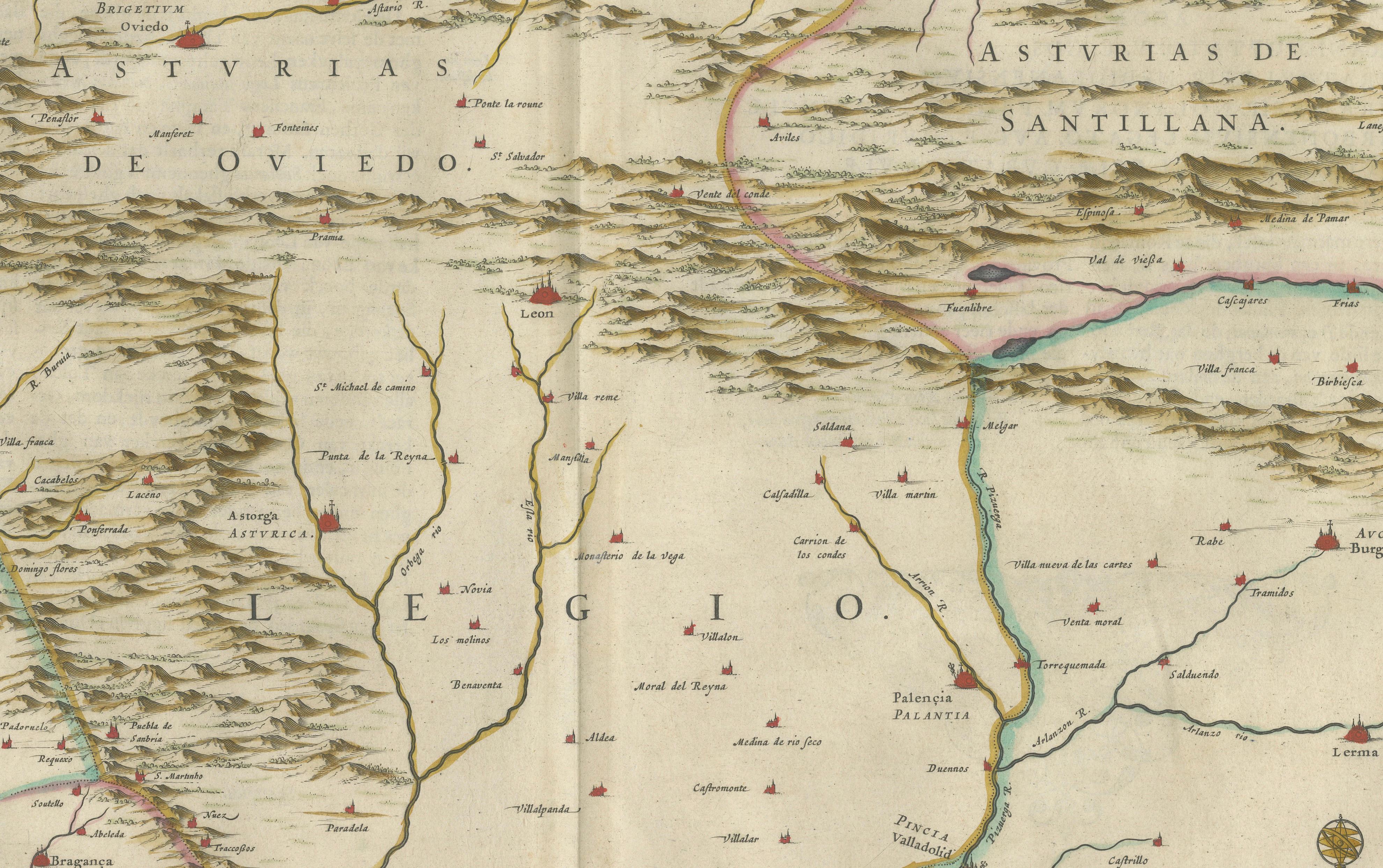
A finely engraved and highly decorative map of the historic kingdoms of León and Asturias in northern Spain, published by Willem and Joan Blaeu in Amsterdam around 1642. This elegant regional map, titled Legionis Regnum et Asturiarum Principatus, originates from Blaeu’s celebrated atlas Toonneel des Aerdrycx, one of the most prestigious cartographic works of the Dutch Golden Age.
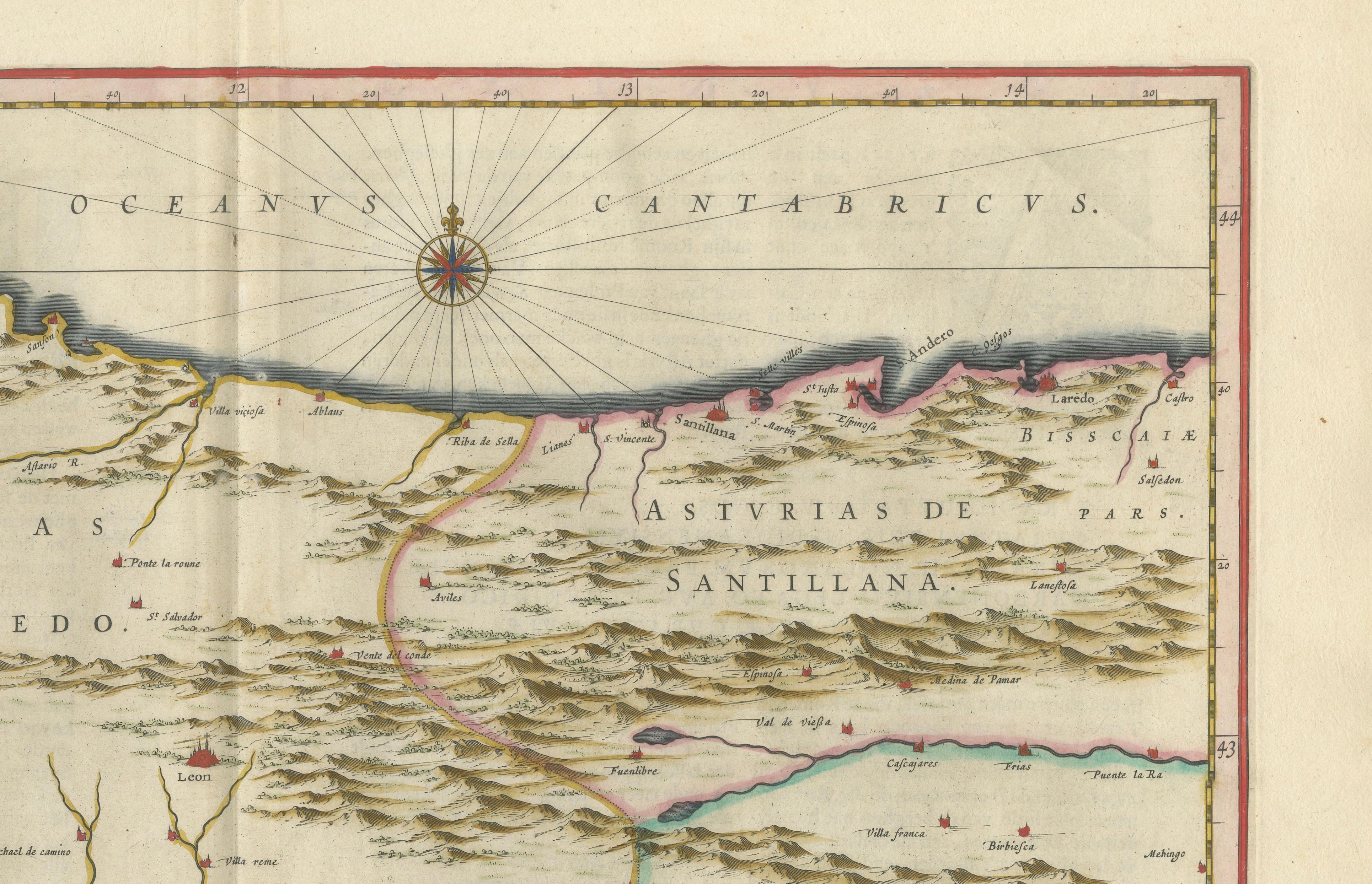
The map depicts the rugged and mountainous regions of León and Asturias with remarkable clarity and refinement. The Cantabrian coastline stretches across the upper portion of the composition, while inland mountain ranges are rendered in bold pictorial relief, emphasizing the dramatic geography of northern Spain. Rivers, towns, and regional boundaries are carefully engraved, offering a detailed portrait of this historically important area.
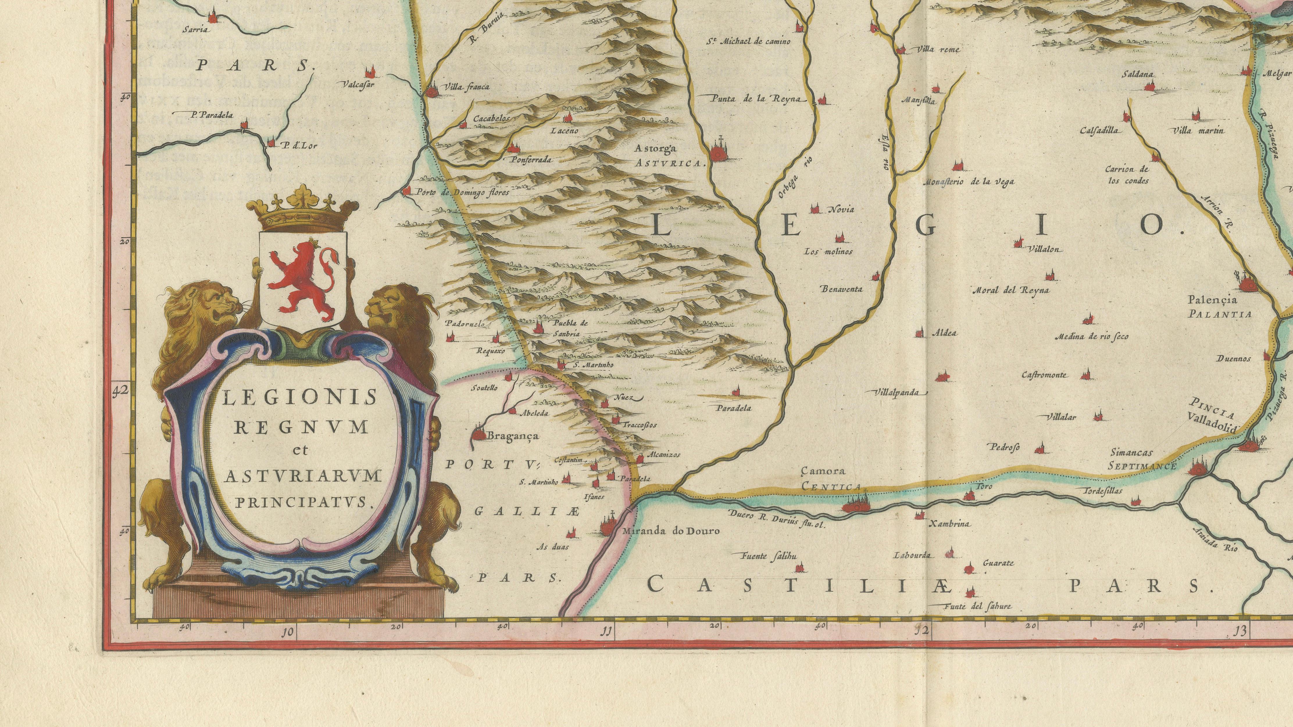
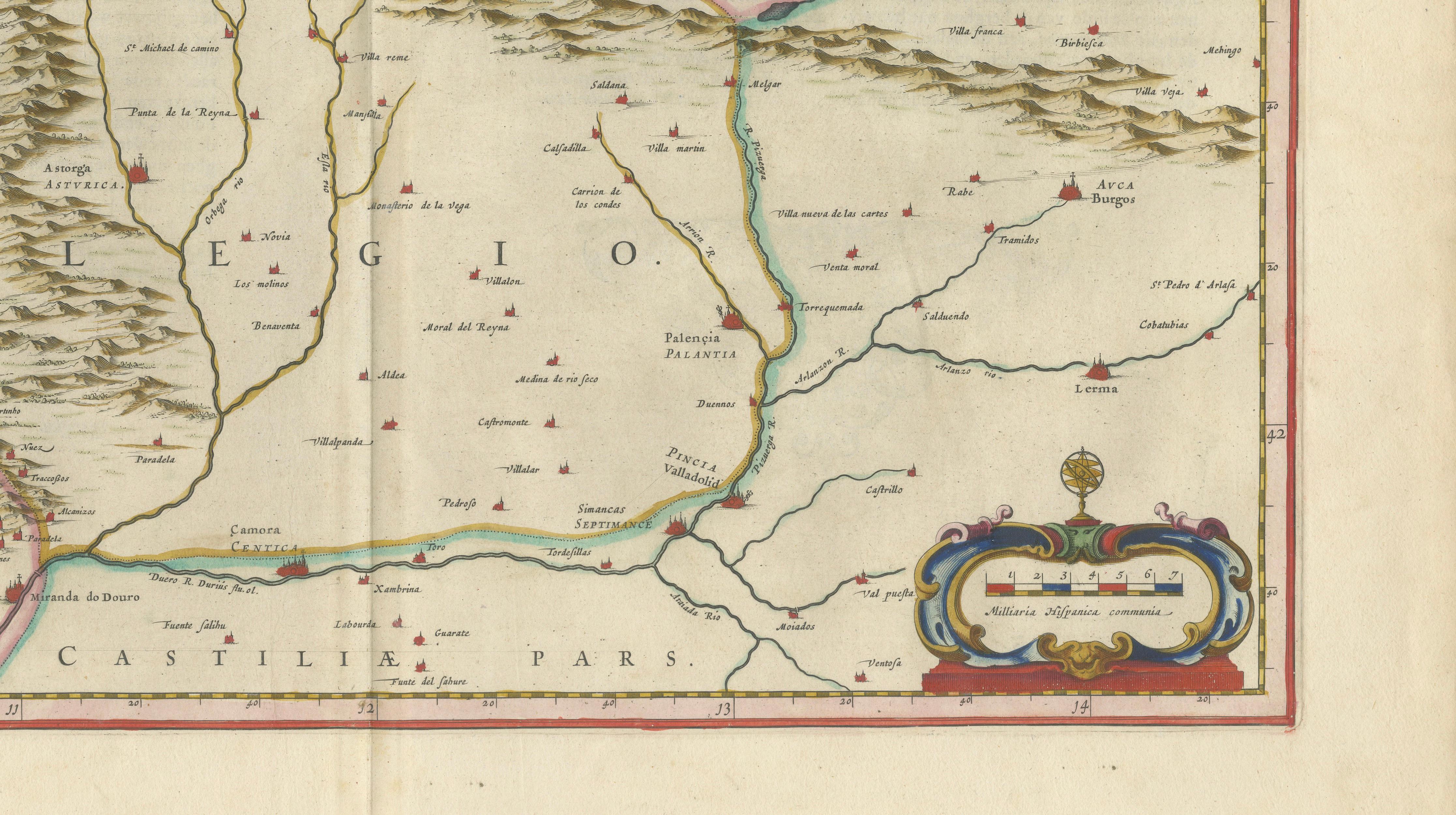
A particularly attractive feature is the richly colored heraldic cartouche in the lower left, flanked by lions and crowned arms, symbolizing the Kingdom of León. A beautifully engraved distance scale balances the lower right corner, while a compass rose and radiating rhumb lines add maritime elegance to the composition. The original hand-coloring remains fresh and refined, subtly enhancing borders, coastlines, and decorative details.
Maps of Spain by Blaeu are highly regarded for their combination of geographic precision and decorative sophistication. Regional maps such as this are especially appealing due to their balanced compositions and intimate level of detail, making them both historically fascinating and visually engaging.
An exceptional collector’s piece and a refined decorative work, ideal for a study, library, or classic interior. Particularly effective when framed in a museum-style presentation or paired with other Blaeu maps of Spain and Iberia.
Condition: Good condition for its age. Original central fold as issued. Light overall toning consistent with age. Minor wear and faint staining, mainly in the margins. Edges slightly irregular. Colors remain strong and attractive. Please study image carefully.
Framing: This piece presents beautifully in a dark walnut or ebonized wood frame with a wide warm ivory mat. A museum-style presentation enhances the heraldic cartouche and mountainous detail. Particularly effective in a darker study or classic interior setting.
Keywords: León, Asturias, Spain, northern Spain, Iberia, Cantabrian coast, Willem Blaeu, Joan Blaeu, Dutch cartography, antique Spain map, 17th century map, Toonneel des Aerdrycx, Legionis Regnum, Asturiarum Principatus, decorative map, heraldic cartouche, compass rose
Special note: This is an original 17th-century map, not a reproduction. All items we offer are authentic period works of art over 100 years old. The map is sold unframed; any framed images are shown for presentation and interior inspiration only and may not always be on scale with the original.
Technique: Copperplate engraving with original hand-coloring
Maker: Willem & Joan Blaeu, Amsterdam, c.1642