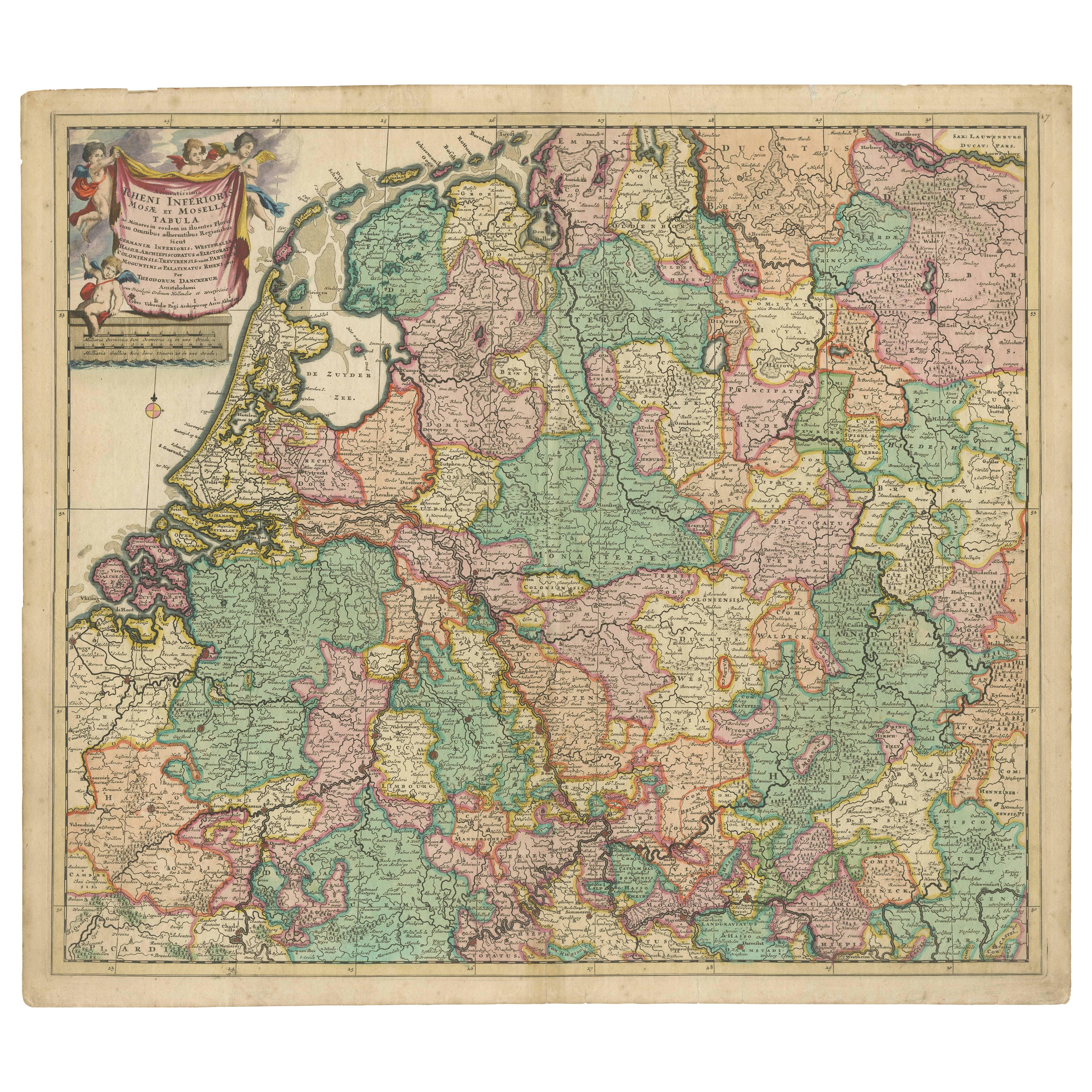

Rare Theodore Danckerts Map of the Lower Rhine and Moselle River Regions
€ 2 200
One of a kind: this is the sheet in the photographs. Ships from Langweer, the Netherlands.
Sheet size
53.8 × 61.2 cm (21.2 × 24.1 in)
Condition
Good
Reference
BG-13230
Condition
Repaired: Repair on folding line and closed tears. Wear consistent with age and use. Original / contemporary hand coloring. Original folding line. Shows some wear and small tears. Repair on folding line and closed tears. Blank verso. Please study image carefully.
About this sheet
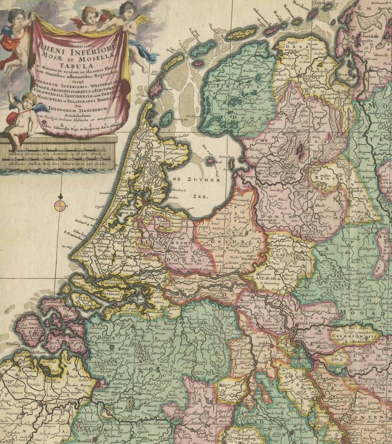
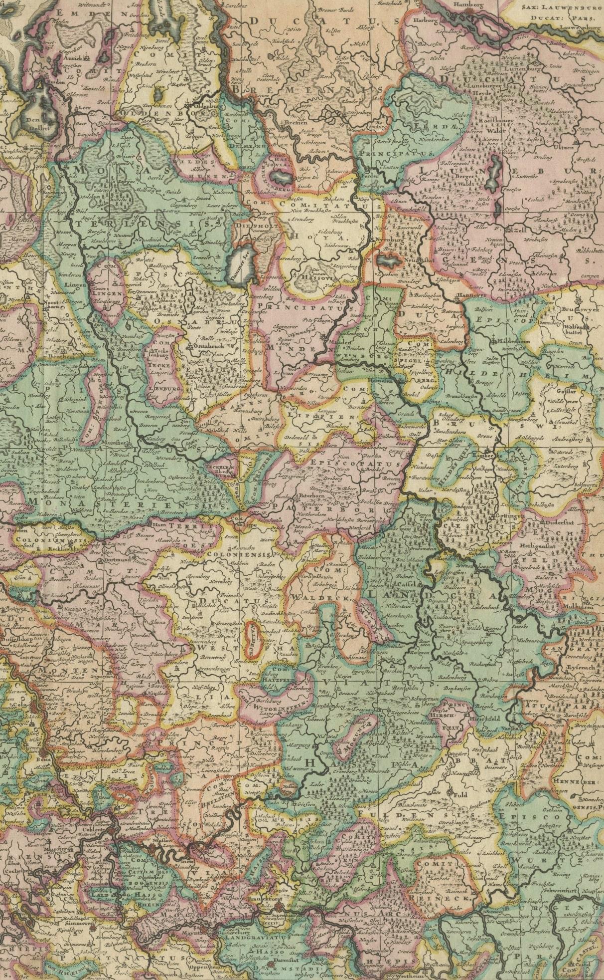
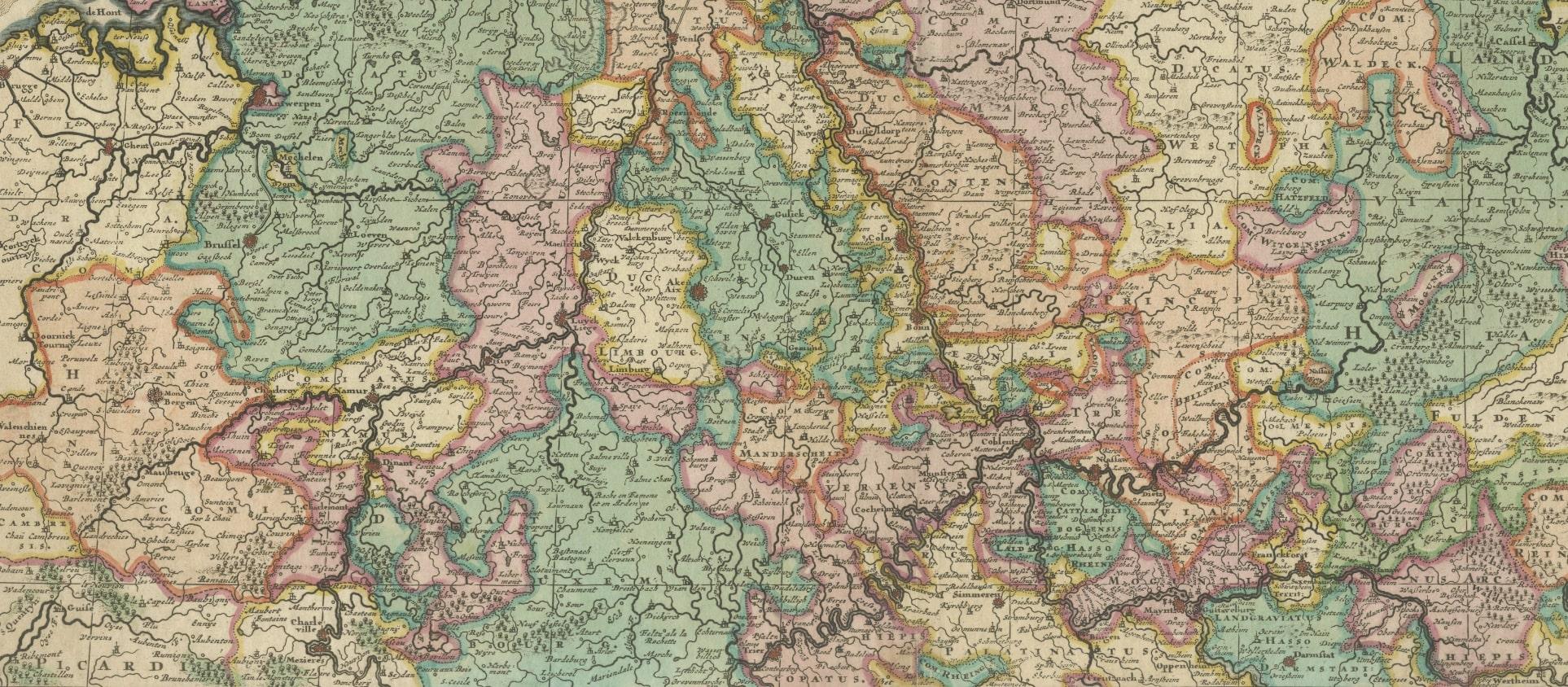
Original antique map titled 'Accuratissima Rheni Inferioris Mosae et Mosellae Tabula'. Rare Theodore Danckerts map of the Lower Rhine and Moselle River Regions. The map covers the low countries and Northwestern Germany. Published circa 1700.
The Danckerts were a family of Dutch engravers and geographers who produced geographic materials, including a series of original atlases. Initially, Justus I Danckerts (1635-1701) was a book and print publisher based in Amsterdam. His great-uncle, Cornelis Danckerts de Rij, (1561-1634) was a surveyor who produced a Kaert-boeck showing various views of Amsterdam. His brother, Dancker Danckerts (1634-1666), was a skilled engraver who produced several maps. Justus I was most likely influenced by both their work when he followed his father, Cornelis I Danckerts (1603-1656), into the publishing business.