maps-prints.com
✦
Black Friday Sale
Friday 20 to Monday 30 November: up to 30% off original antique maps and prints
The terms
- Up to 30% off selected original antique maps and prints. Every piece is an original, printed in its own time; none is a reproduction.
- The sale runs from Friday 20 November to Monday 30 November. Sale prices shown here apply from Friday 20 November; until then pieces are sold at their regular price.
- Free FedEx shipping on qualifying orders placed on our own websites: USA, Canada, UK and Europe over $500 / €450; rest of the world over $750 / €675. Smaller orders pay our normal shipping rate.
- Orders placed from 15 to 30 November ship from 1 December, in time for Christmas. Our shipping partner is InXpress.
- Each piece is unique, so the sale is while stock lasts.
Collection:AllAmericanSea chartsMilitaryNatural historyFashionArchitectureBotanicalSacredEast Indies
Sale prices apply from Friday 20 November. Save the pieces you like with the heart and come back on Friday.
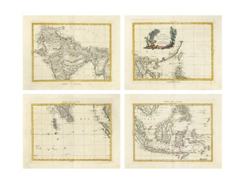 Antique Map Set East Indies – India, Indochina, Indonesia, Zatta 1784
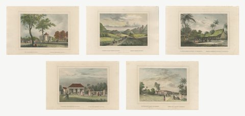 Five Hand-Colored Views of Java and Batavia, van de Velde, circa 1844
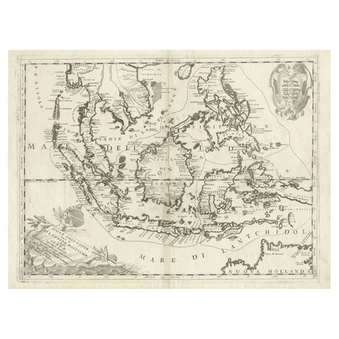 Original Antique Map of the Philippines, Malaysia, Indonesia, Singapore, c.1690
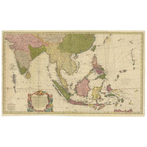 Rare 18th-Century Hand-Colored Map of Southeast Asia and the East Indies, 1748
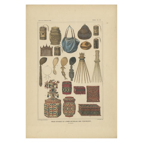 Set of 7 Decorative Antique Prints of Borneo, Timor and Papua Culture, ca. 1840
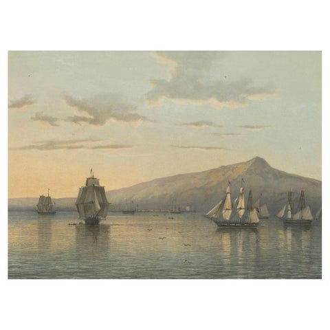 View of Anjer near the Krakatoa Volcano, Sunda Strait – Java Lithograph, 1872
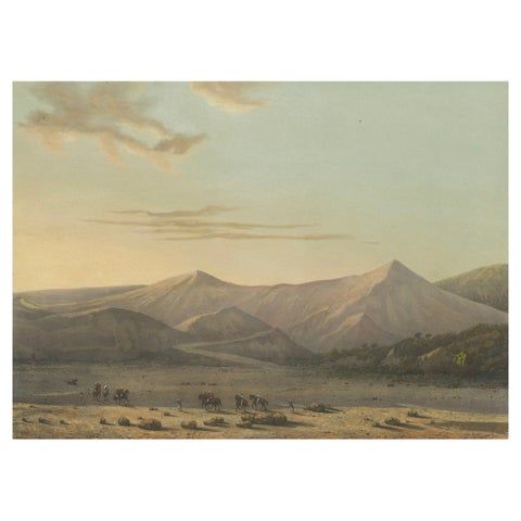 Mount Bromo Volcano Erupting in 1856 – East Java Lithograph, Published 1872
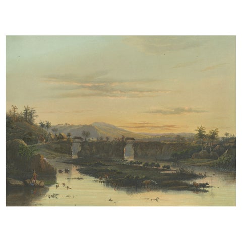 Brantas River as a Mountain Stream – East Java Landscape Lithograph, 1872
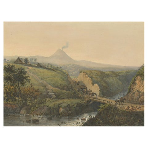 Landscape near Probolinggo with Smoking Volcano – Java Lithograph, c.1872
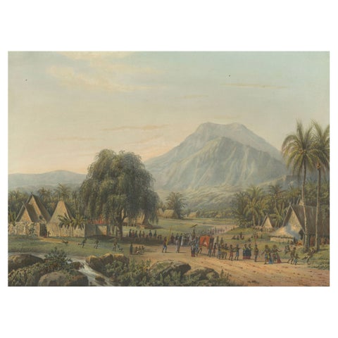 Wedding Procession in the Salak Valley, Puncak – Java Cultural Lithograph, 1872
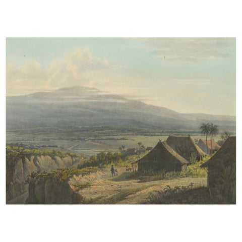 Highland Landscape in the Bantam Residency – Java Lithograph, Published 1872
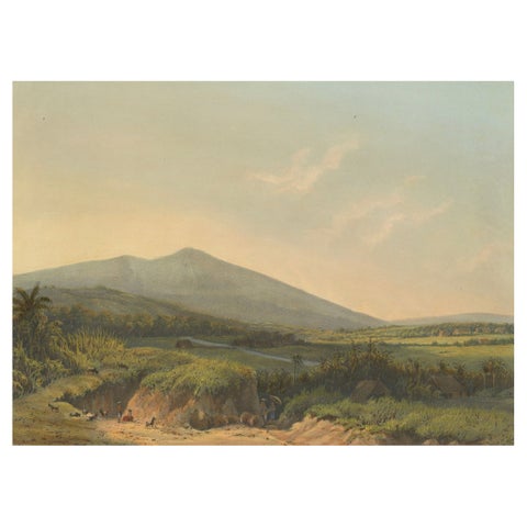 Mountain Landscape near Kedong Badak – Rare Java Lithograph from 1872
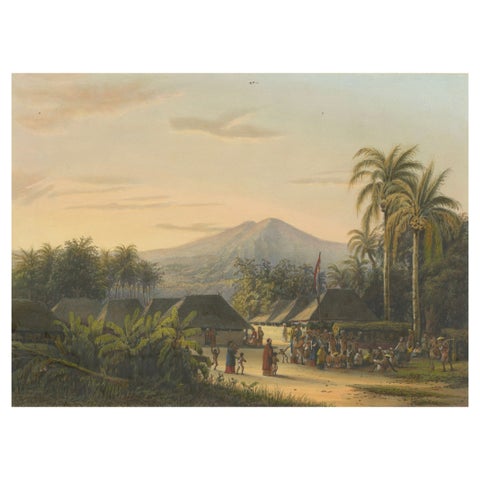 Vibrant Colonial Era Java Print: Festival near Mount Ardjoeno, ca. 1872
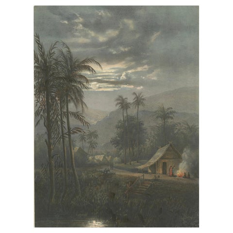 Moonlit Landscape near Sumedang, West Java – Rare Java Lithograph, 1872
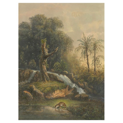 Wild Landscape with Waterfall and Jungle Life – Java Lithograph, Published 1872
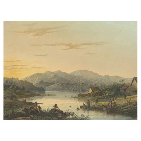 The Bathing Place of Wendit, East Java – Tranquil Java Lithograph, c.1872
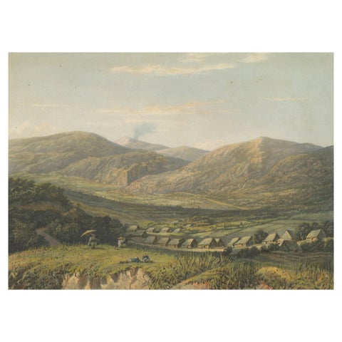 View of the Tengger Mountains, East Java – Rare Java Landscape Lithograph, 1872
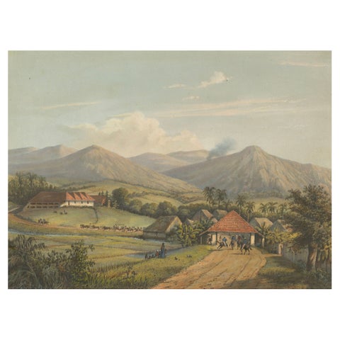 Java’s Kawis Mountains and Tobacco Estate near Malang – Antique Lithograph, 1872
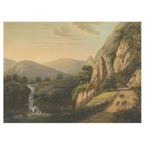 Mountain Road and Waterfall in the Tengger Range – Java Lithograph, circa 1872
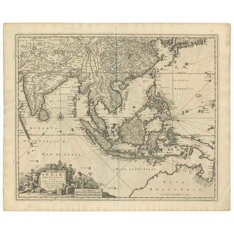 Antique Map of Southeast Asia 'India, Indonesia' by N. Visscher, circa 1670
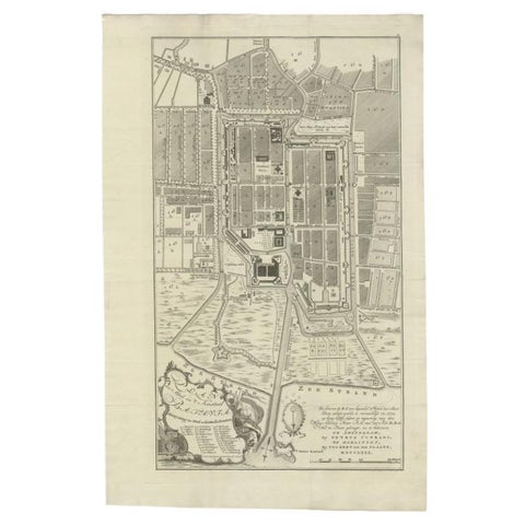 Antique Plan of Batavia, Nowadays Jakarta, Indonesia, 1780
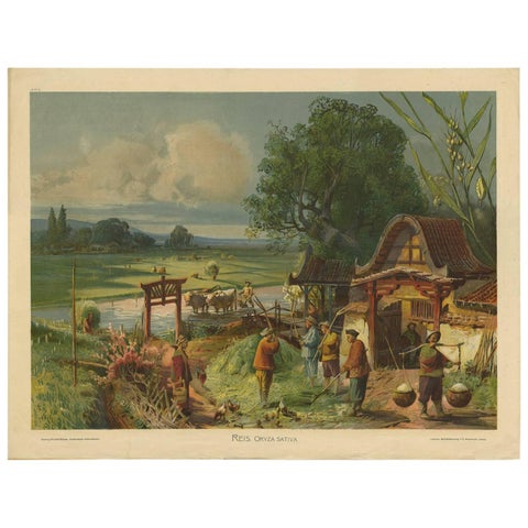 Antique Print 'Schoolplate' of a Rice Field by F.E. Wachsmuth, circa 1900
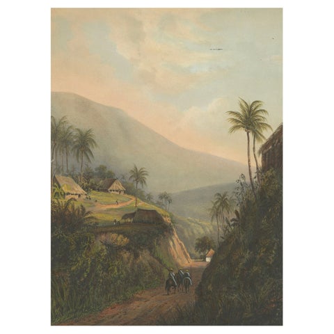 Mountain Road to the Salak Valley, Java – Colonial Landscape Lithograph, 1872
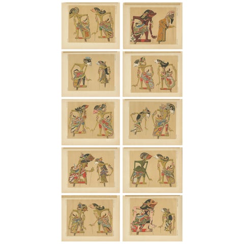 Set of 10 Antique Prints of Wayang Puppets by Juynboll, 1900
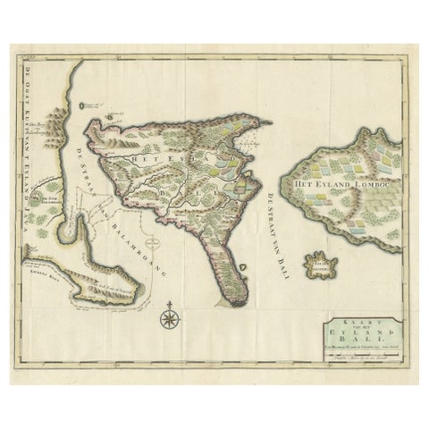 1726 Valentyn's Map of Bali and Lombok, Original Engraving
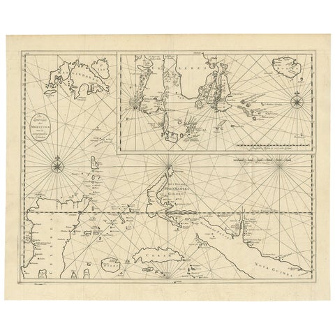 Large Antique Detailed Map of a Part of the Spice Islands, Indonesia, 1726
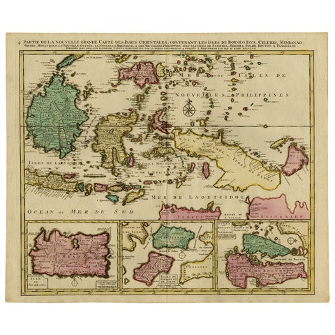 Old Map of Indonesian Islands Borneo, Celebes, New Guinea & New Britain, 1792
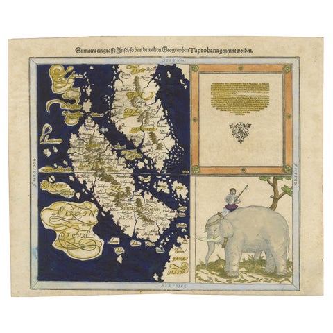 Renaissance Mapping of Sumatra: Featuring Singapore in Münster’s Woodcut, c.1590
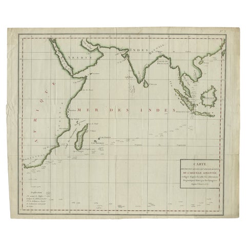 Old Map of Indian Ocean & Sumatra, Java, Borneo, India, Arabia, Africa, c.1783
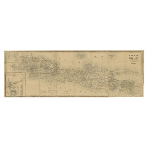 Large Antique Map of Java & Madura with Batavia Inset, c.1870s Dutch East Indies
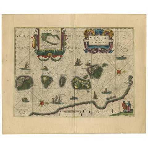 Antique Map of the Spice Islands 'Moluccas', Indonesia by W. Blaeu, circa 1640
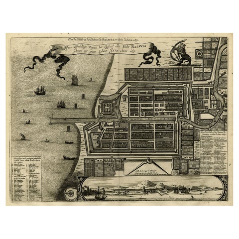 Antique Map of Batavia, Dutch East Indies, Nowadays Jakarta, Indonesia, ca.1669
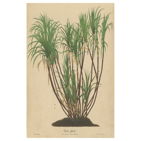 Antique Sugarcane Chromolithograph, Teboe Goela Java, Meyn after Soltwedel 1892
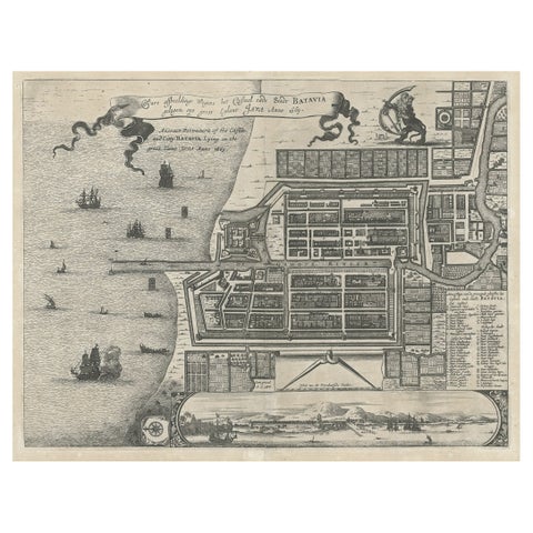 Antique Plan of the Castle & City of Batavia 'Jakarta' on Java, Indonesia, c1669
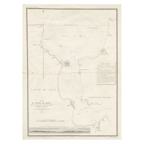 Detailed Map of the Madura Strait, between Java & Madura Island, Indonesia, 1825
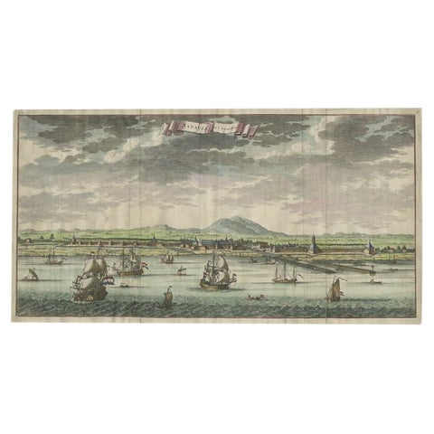 Antique Print of Batavia, Capital of the Dutch East Indies or Indonesia, '1726'
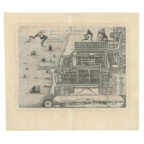 Antique Map of Batavia 'Jakarta', Indonesia by Montanus, circa 1669
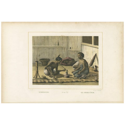 Antique Print of Javanese Locals Smoking Opium by Van Pers, circa 1850
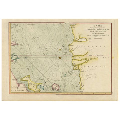 Antique Map of the Malacca and Bangka Strait by De Mannevillette '1775'
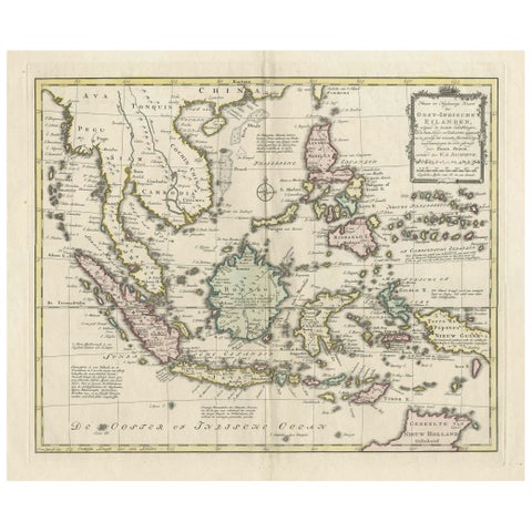 Rare Antique Map of the Dutch East Indies 'Indonesia', 1774
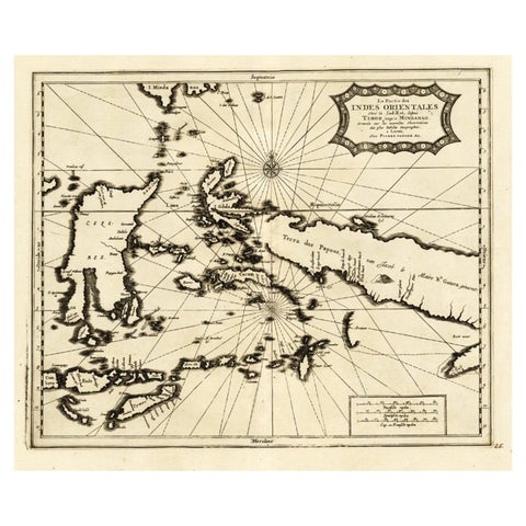 Extremely Rare Map of the East-Indies towards the South-East 'Indonesia', 1725
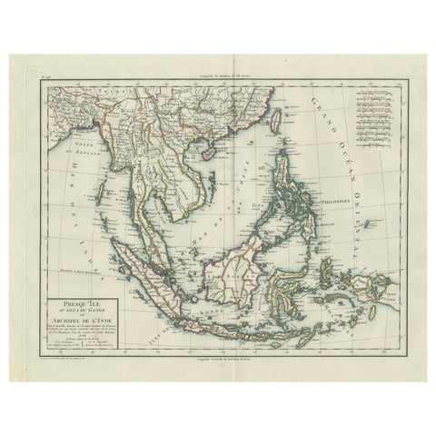 1797 Tardieu Map of Southeast Asia: The Malay Archipelago and Beyond
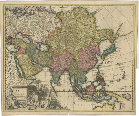 Decorative Antique Map of Asia and the East Indies, circa 1720
Sharing the sale? Download the Black Friday banners.