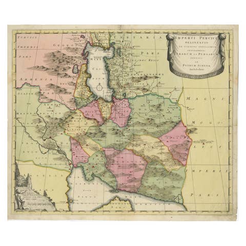
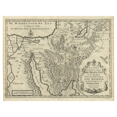
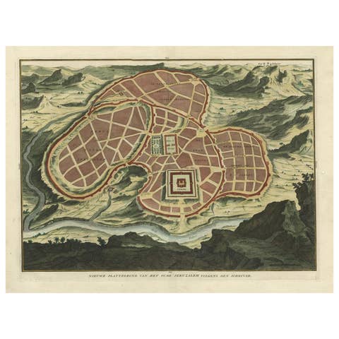
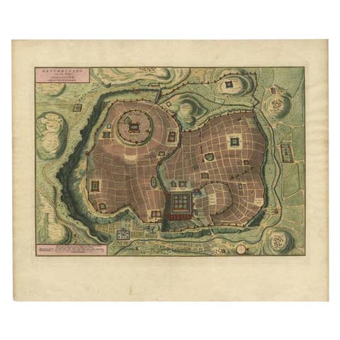
Fabulous Original Antique two-sheet Map of the Caspian Sea, ca.1723
€ 2 200
One of a kind: this is the sheet in the photographs. Ships from Langweer, the Netherlands.
Date
1723
Sheet size
46.7 × 61.7 cm (18.4 × 24.3 in)
Condition
Excellent
Reference
BG-13550-1 and BG-13550-2
Condition
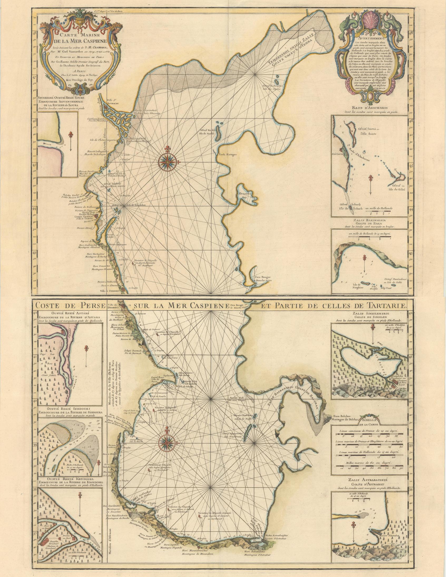
Excellent impressions on sheets with the watermark of a Maltese cross encircled in rosary beads and minor offsetting. The first image is a composite image - the map is in two separate sheets.
About this sheet


Carte Marine de la Mer Caspiene... [and] Coste de Perse sur la Mer Caspiene et Partie de Celles de Tartarie", Delisle, Guillaume (2 maps)
Subject: Caspian Sea Period: 1723 (circa) Publication: Color: Hand Color
Fabulous, and important, two-sheet map is from the surveys of Karl van Verden from 1719-21. The maps are beautifully engraved with relief along the shoreline shown pictorially, and the sea is crossed with rhumb lines. The northern sheet includes three inset maps and is attractively embellished with two cartouches, one bedecked with dragons. The southern sheet includes three insets of river mouths on the Persian coast and two insets of gulfs on the coast of what is now Turkmenistan.
The Caspian Sea remained a mystery through much of cartographic history. It was originally thought to be a huge gulf in the northern ocean and was not recognized as a landlocked sea until the late medieval period. It was then presented in a variety of shapes and sizes, nearly always on an east-west axis. It was not accurately mapped until the early 18th century when the surveys of Karl van Verden were commissioned by Russia. In 1721, Peter the Great presented the French Academy a copy of the recently completed map by S.I. Soimonov and Karl van Verden. Delisle copied (in a reduced size) the original map with great care, translated the inscriptions into French, and printed it on two sheets for publication in the Academy's Bibliographie Générale des Travaux Historiques... and in his own atlases.