About this sheet
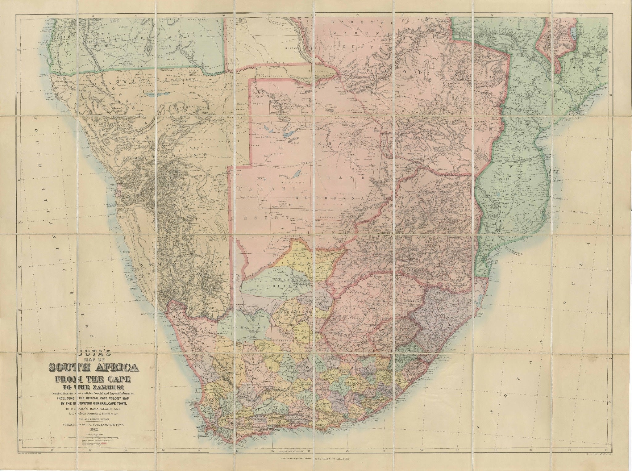
South Africa Folding Map c.1890 – Juta Antique Linen-Mounted Map
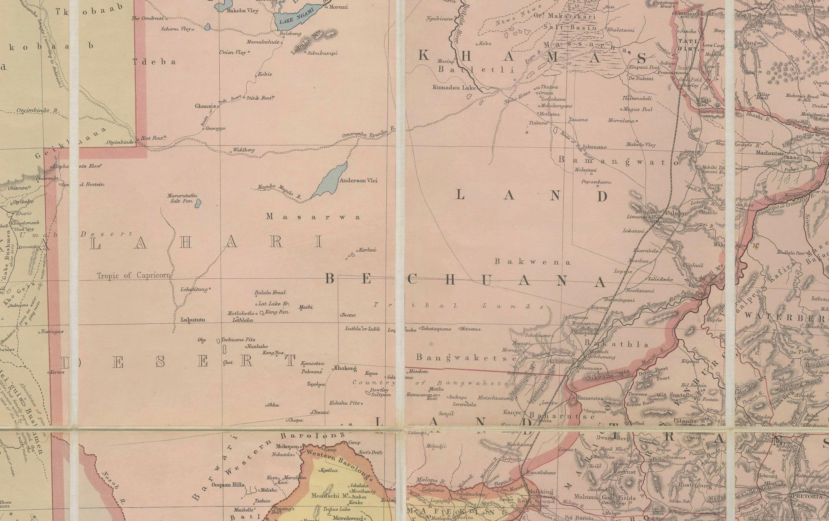
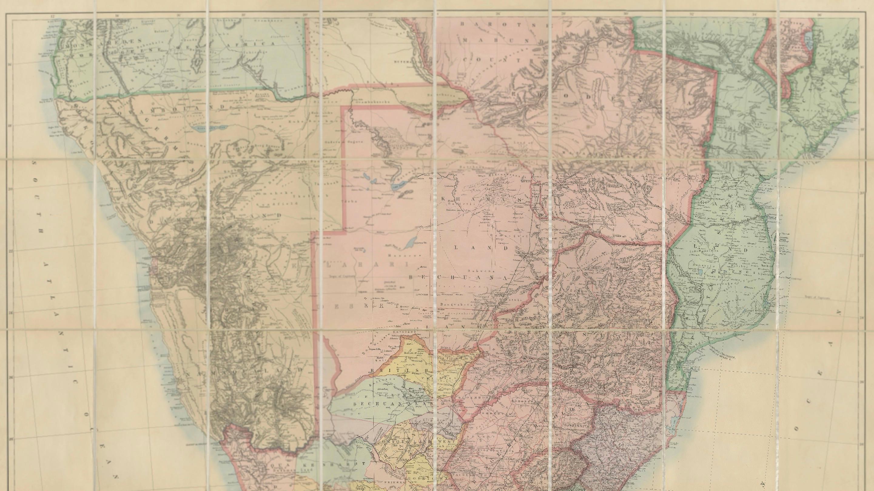
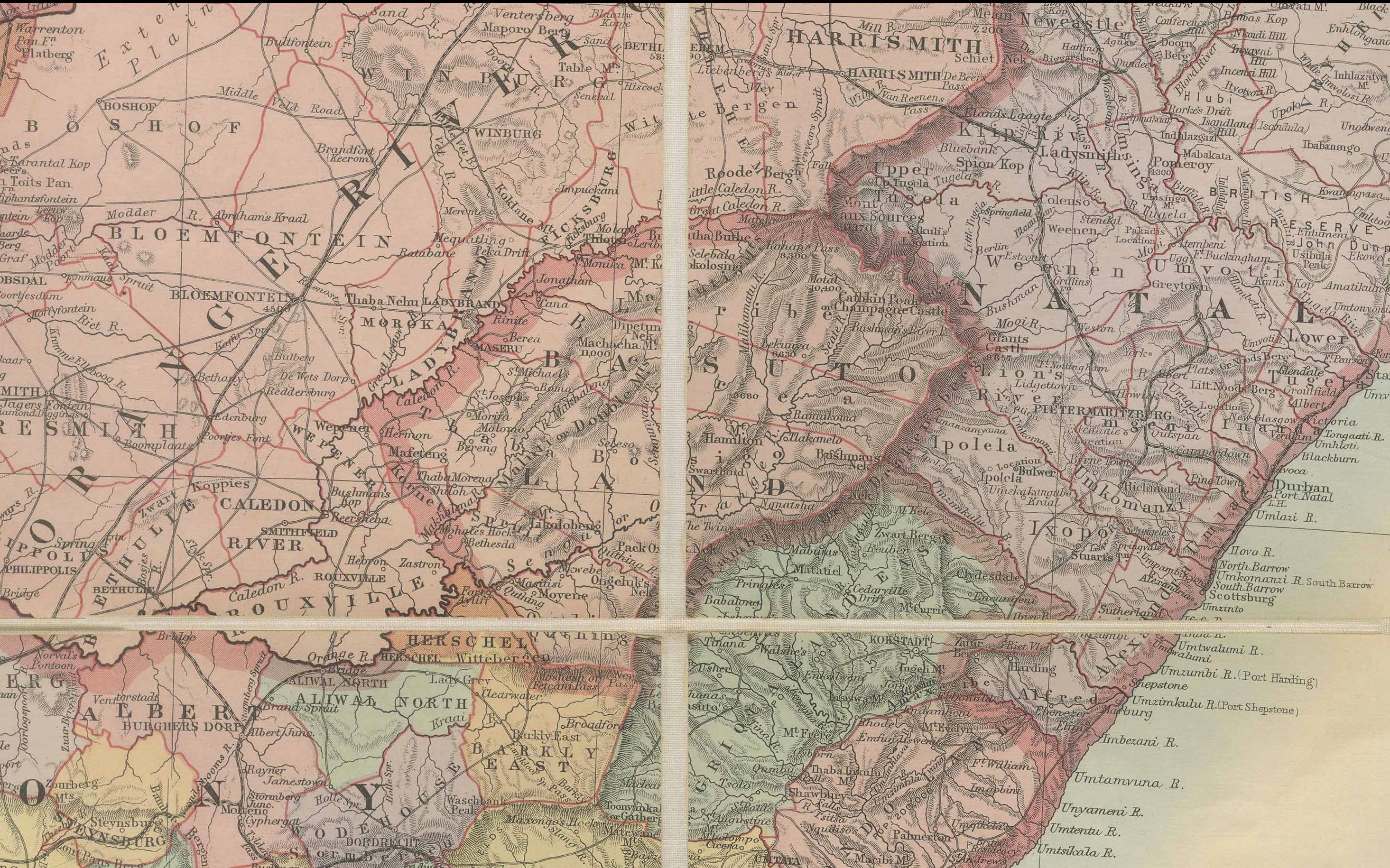
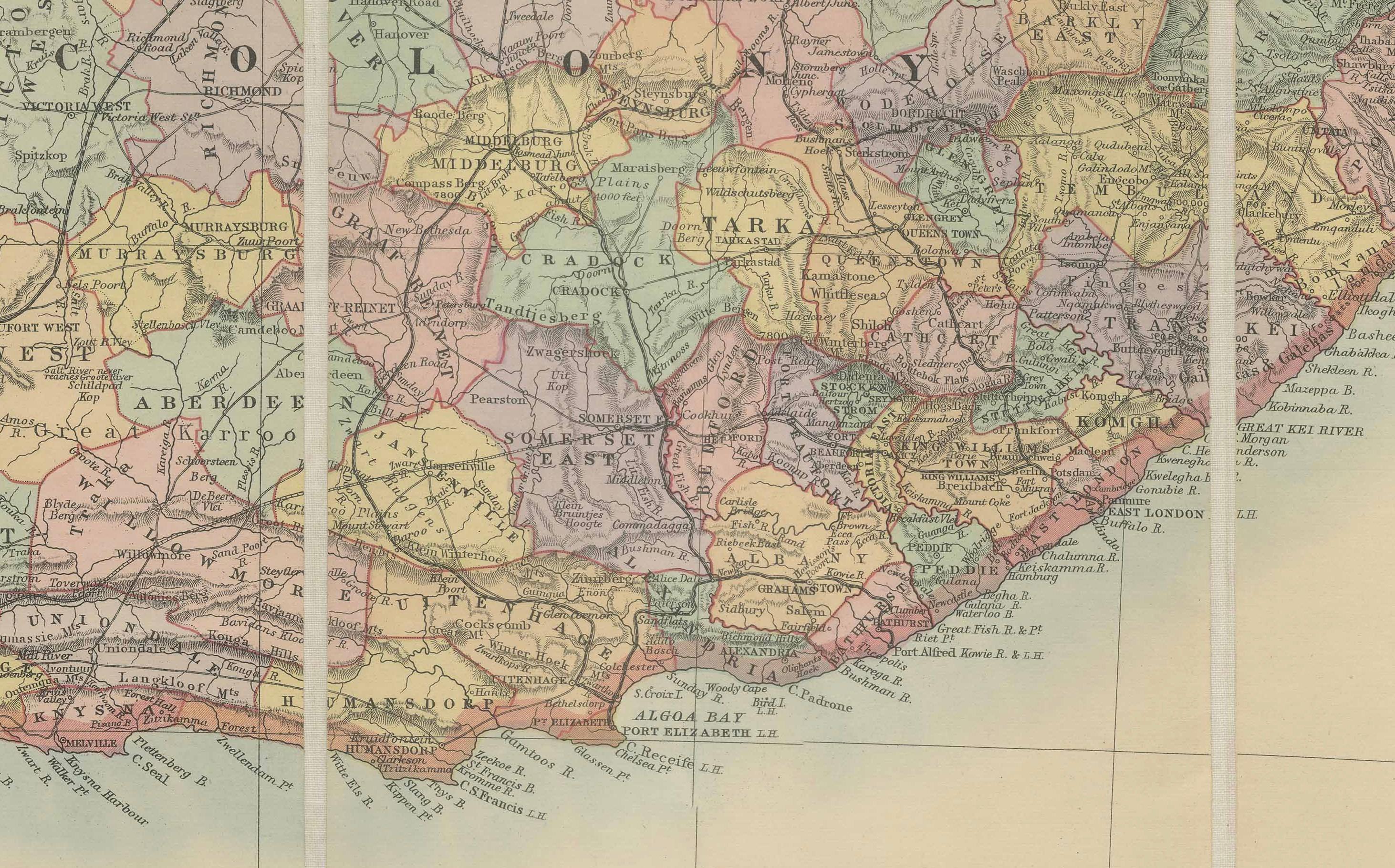
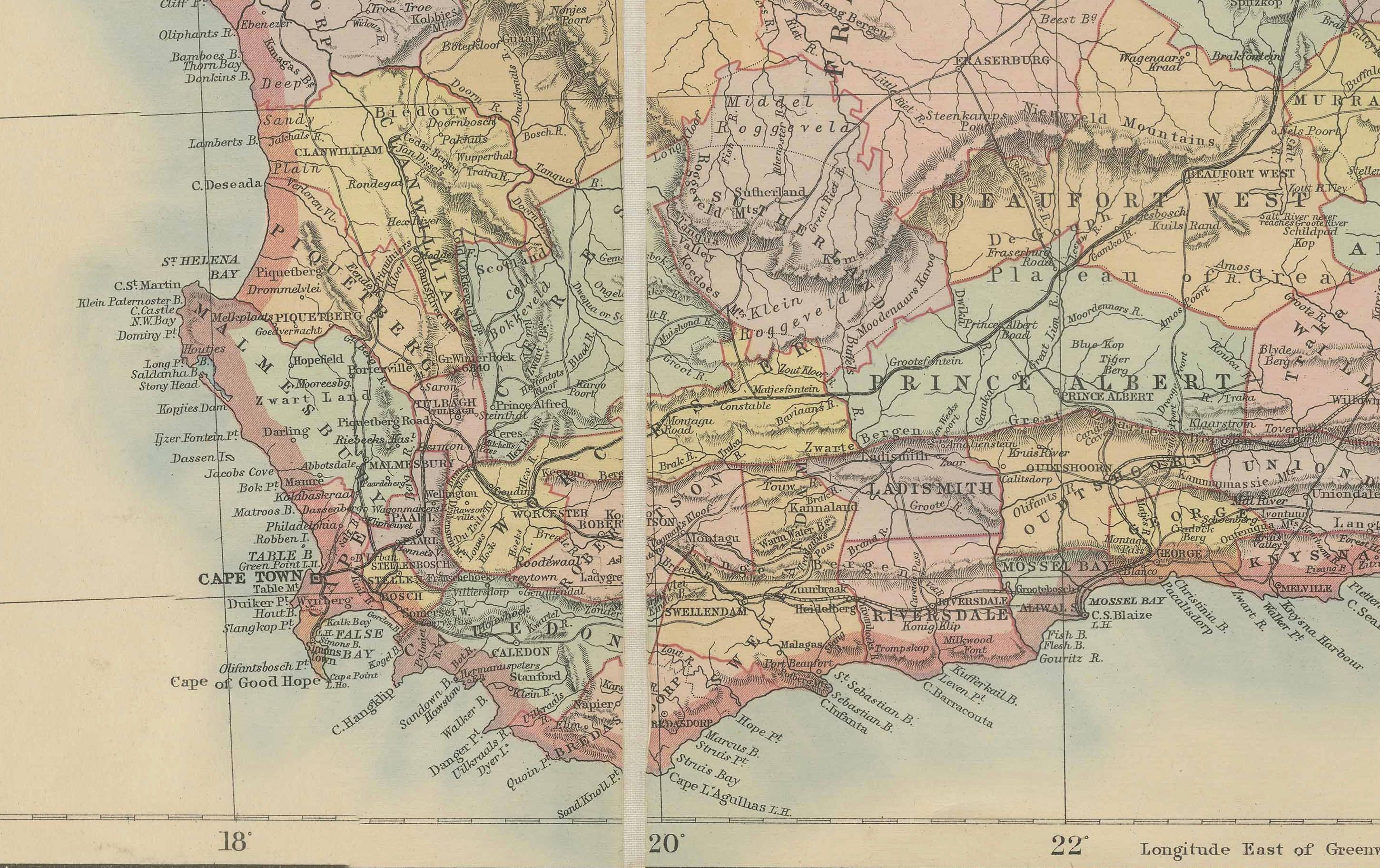
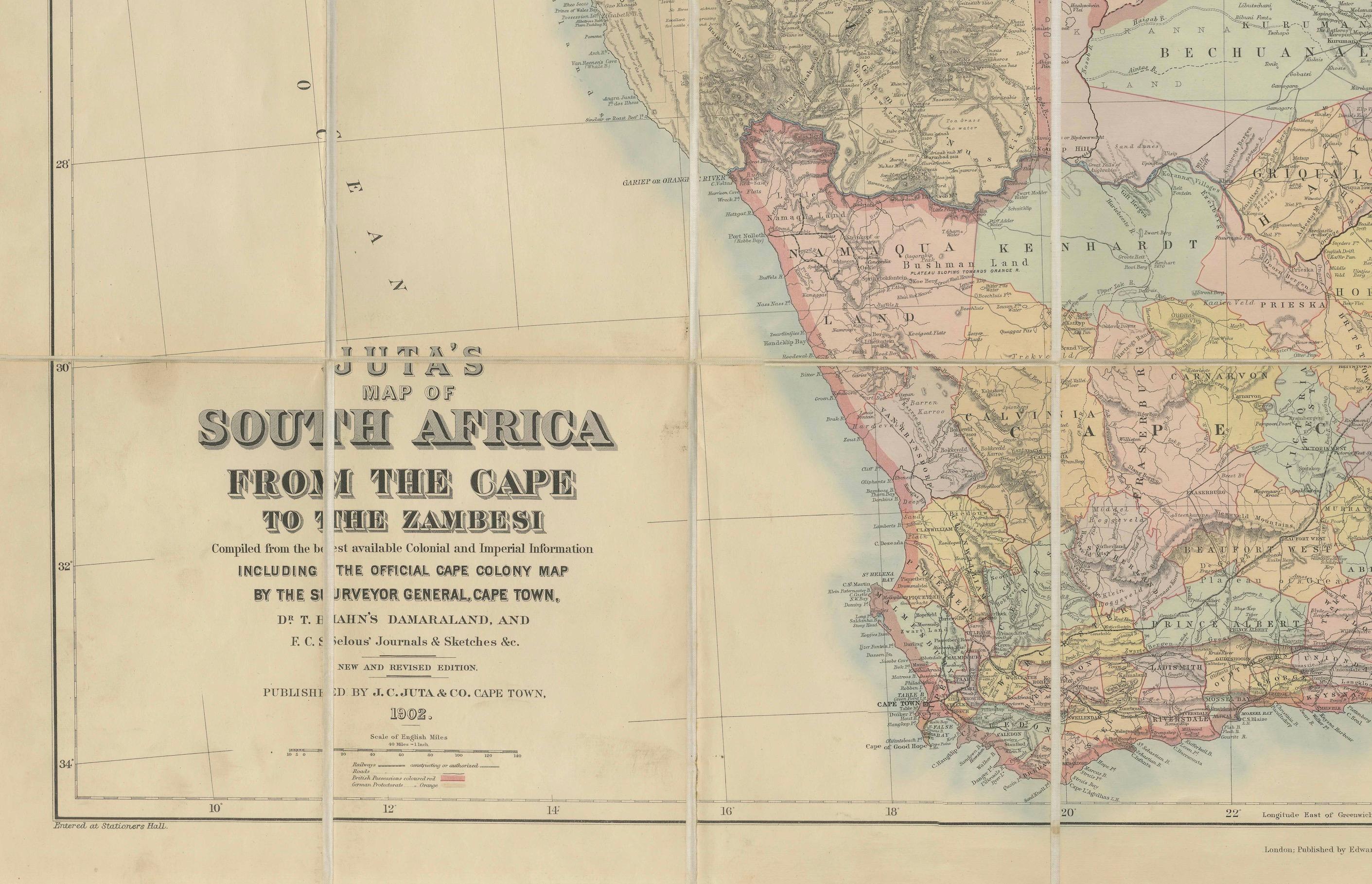
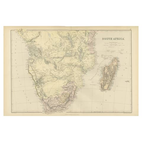
This impressive antique folding map, “Juta’s Map of South Africa from the Cape to the Zambesi,” was published in Cape Town by J.C. Juta & Co. towards the late 19th century (c.1890). It presents South Africa on a grand scale, covering the Cape Colony northward to the Zambesi River, and includes the surrounding regions of Bechuanaland, Matabeleland, Mashonaland, Natal, Zululand, and parts of modern-day Namibia, Botswana, Zimbabwe, and Mozambique.
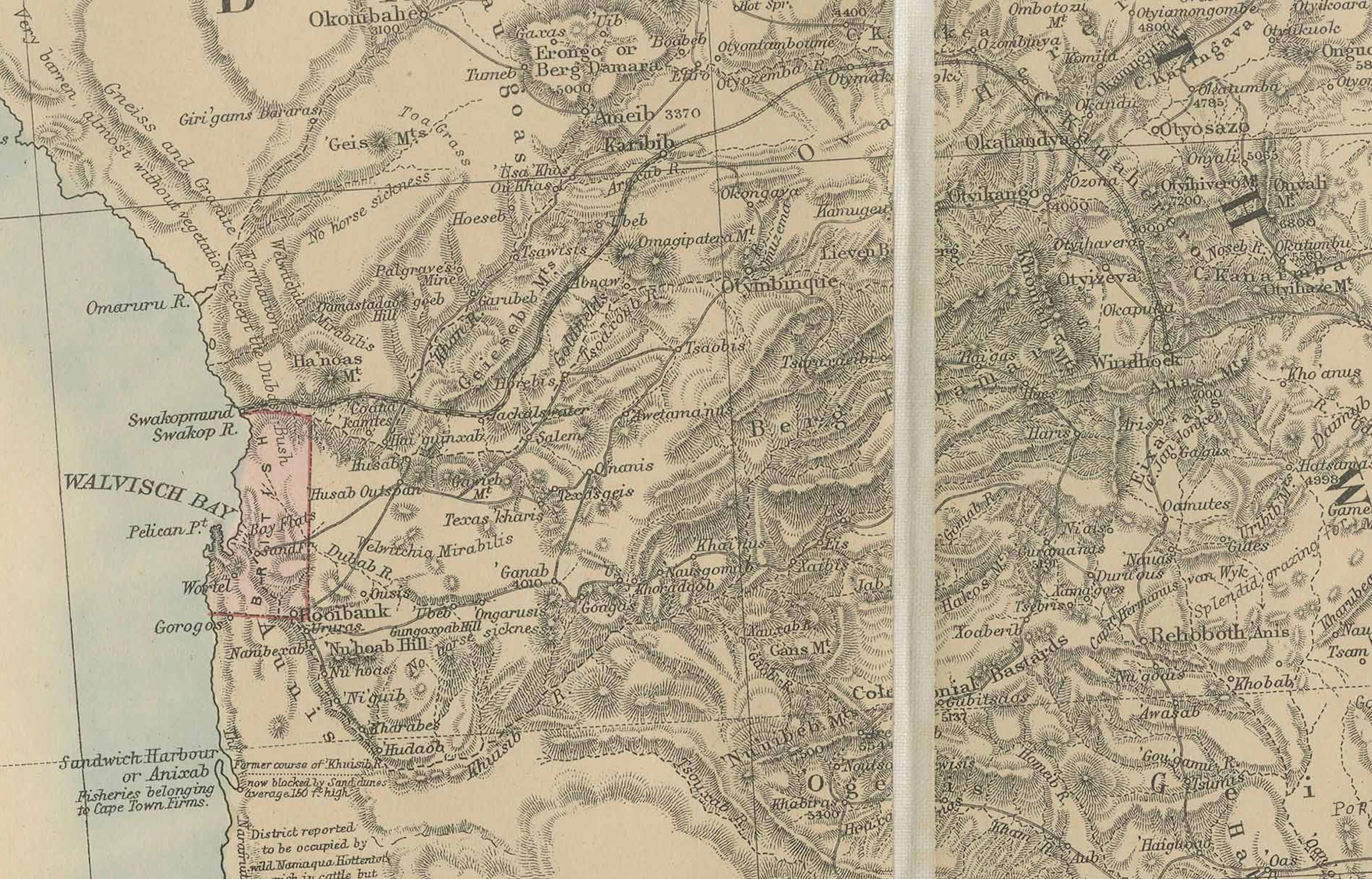
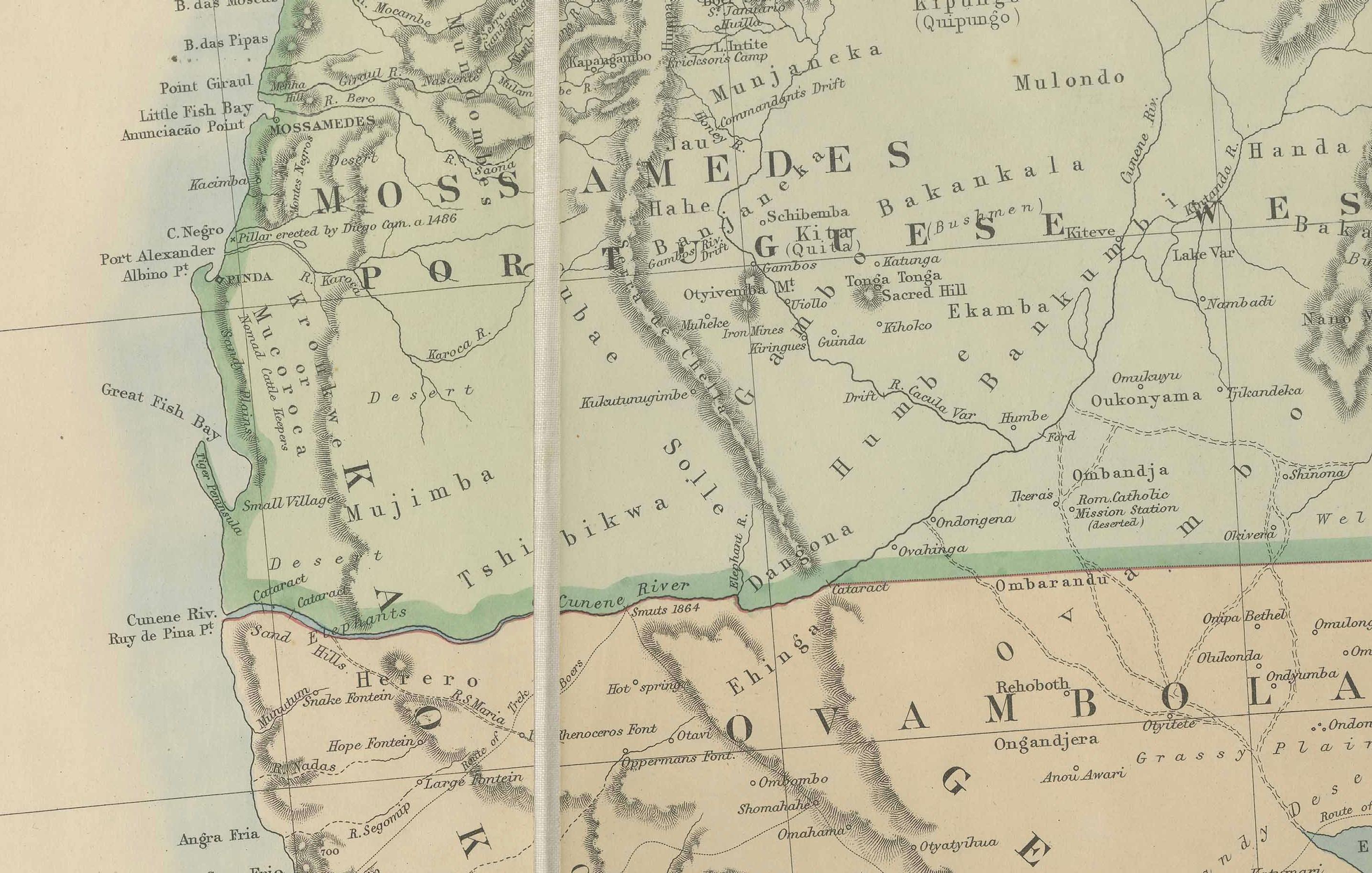
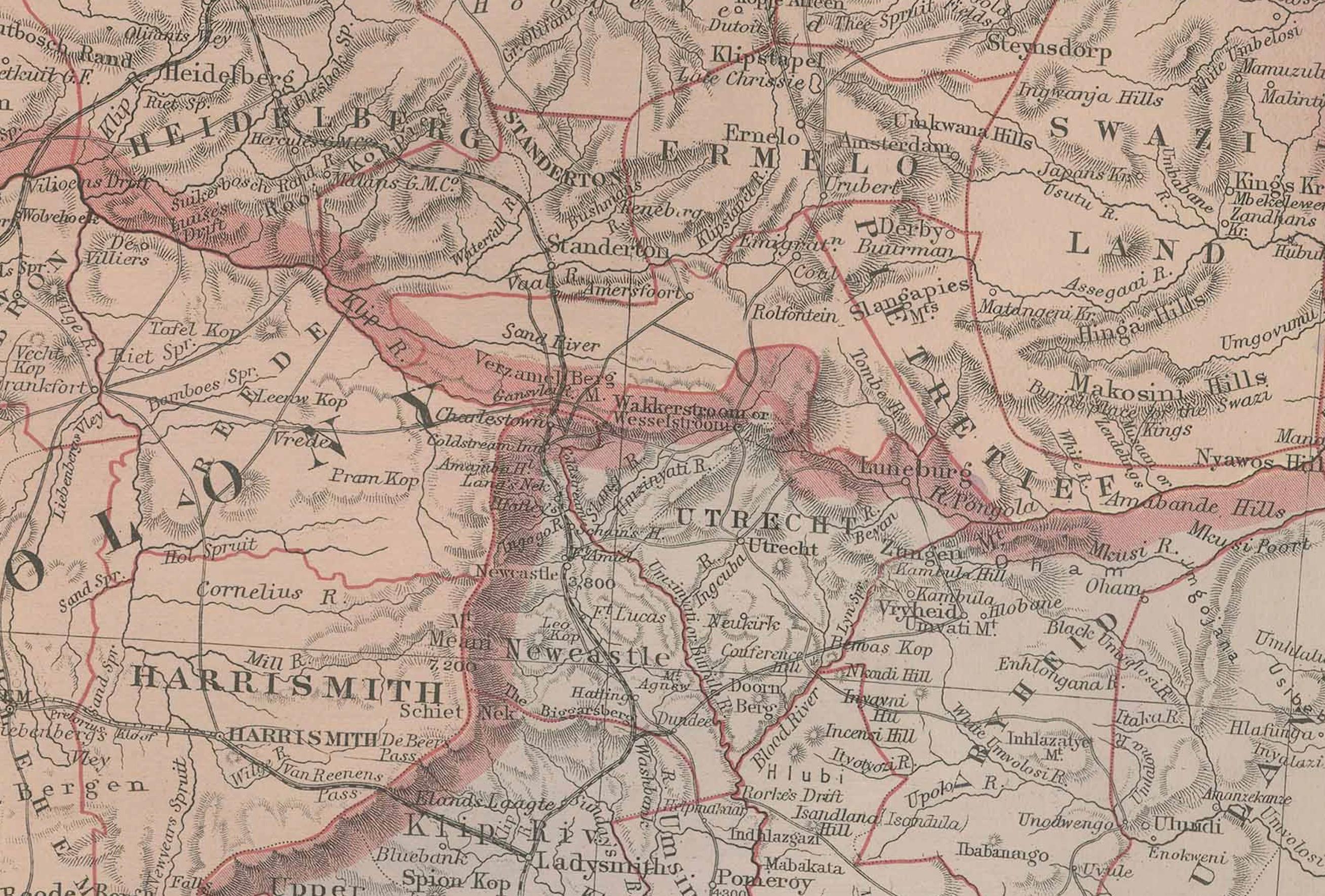
The map is hand-colored in outline, with political boundaries clearly marked to show colonies, territories, and tribal lands. Major divisions include the Cape Colony, Orange Free State, Transvaal, Natal, Zululand, Bechuanaland Protectorate, and Matabeleland. Numerous towns, villages, rivers, and mountain ranges are finely engraved, while railroads, wagon routes, and telegraph lines are carefully indicated.
This map was designed not only for reference but also for practical use by officials, settlers, and travelers. The detail is remarkable: railways under construction are shown, frontier posts are marked, and even mission stations are recorded. At the time of publication, South Africa was a region of rapid change, with the discovery of diamonds (1867) and gold (1886) transforming its economy and intensifying colonial interests. The map captures the complex political geography leading into the Anglo-Boer conflicts and the consolidation of territories under British influence.
Physically, the map is dissected into 24 panels and mounted on linen, as issued, allowing it to be folded into a portable case. This practical format ensured its use in the field by administrators, military officers, and explorers. When fully opened, the map measures approximately 100 × 150 cm (39 × 59 inches), making it a large and visually striking piece.
For collectors, this map is a landmark example of late 19th-century South African cartography, combining British colonial ambition with local production. Its size, accuracy, and rich historical context make it a highly desirable artifact for those interested in African exploration, colonial history, or folding maps of the period.
Condition: Very good. Original hand coloring. Linen backing intact with expected fold lines. Light age toning and minor handling wear at panel edges, but overall well-preserved with strong paper and clear printing.
Framing tips: This map makes a dramatic display when opened and mounted flat. A wide black or dark wood frame with a cream or ivory mat will emphasize its scale and color. For maximum impact, consider float-mounting to reveal the linen paneling and original fold structure.
Technique: Lithograph with original outline hand coloring, dissected and mounted on linen
Maker: J.C. Juta & Co., Cape Town, c.1890
Collector’s note: J.C. Juta was one of the most important publishers in South Africa during the late 19th century. As the official government printer in Cape Town, Juta produced maps, atlases, and reference works that were used extensively by administrators, explorers, and settlers. Unlike many contemporary maps printed in London or continental Europe, Juta’s maps were created and published locally, giving them a higher degree of accuracy and relevance to the realities on the ground. Today, folding maps such as this one are highly sought after by collectors, both for their impressive scale and for their role in documenting South Africa during a transformative period of political and economic change.