

Maps & PrintsBartele Gallery · Langweer
Home / Antique Maps / Europe

Europe · 17th century

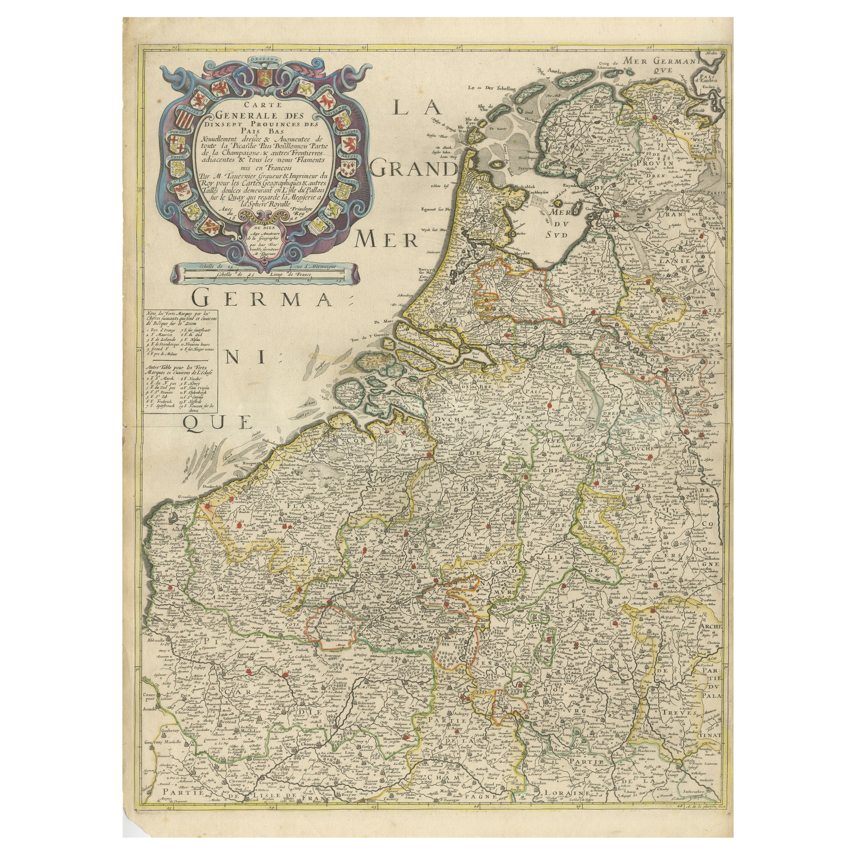

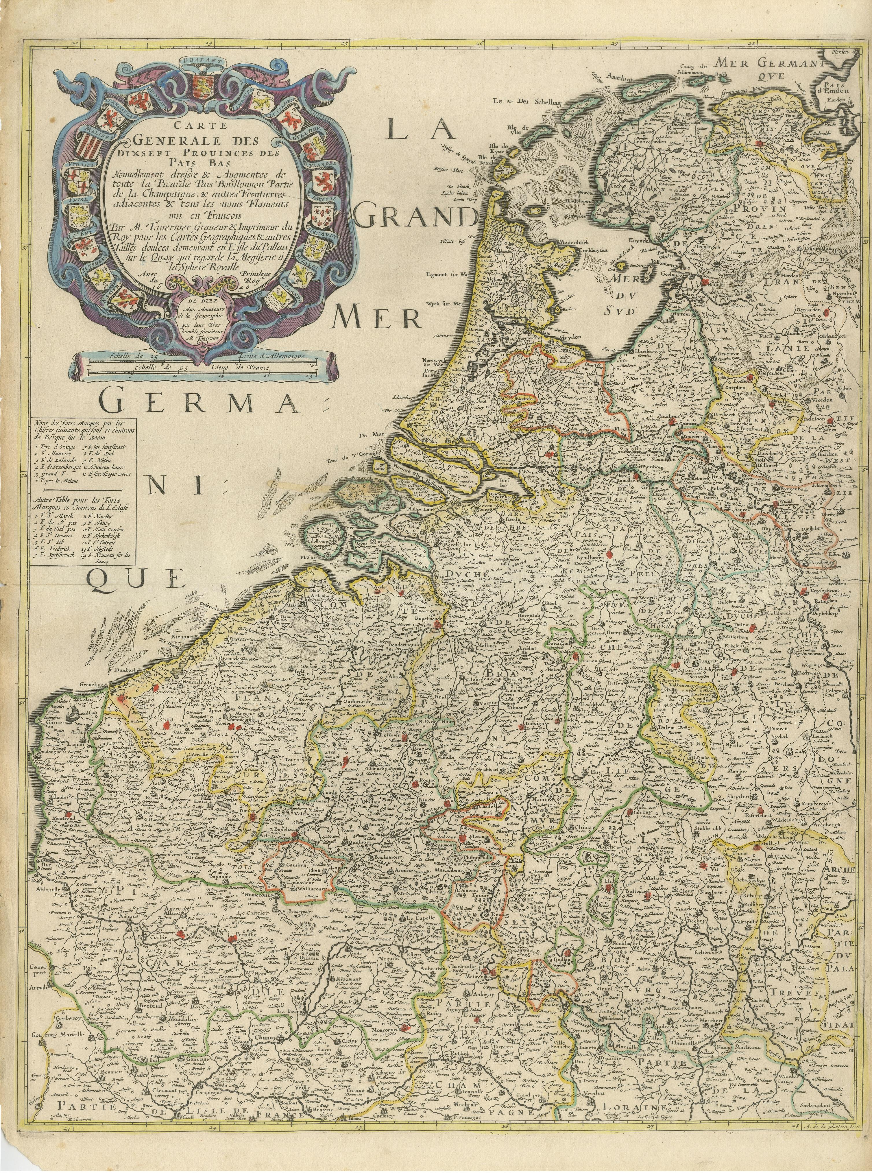
Rare and Early Map of the Seventeen Provinces, Published in circa 1640

€ 2 200

One of a kind: this is the sheet in the photographs. Ships from Langweer, the Netherlands.

Date
1640
Sheet size
58.6 × 43 cm (23.1 × 16.9 in)
Condition
Good
Reference
BG-13324-9

Condition

Original/contemporary hand coloring. Original folding line. Shows some wear and soling. Narrow margins, defect bottom left corner. Blank verso. Please study image carefully.

About this sheet

Antique map titled 'Carte Generale des Dixsept Provinces des Pais Bas'. Rare and Early map of the Seventeen Provinces. The Seventeen Provinces were the Imperial states of the Habsburg Netherlands in the 16th century. They roughly covered the Low Countries, i.e., what is now the Netherlands, Belgium, Luxembourg, and most of the French departments of Nord (French Flanders and French Hainaut) and Pas-de-Calais (Artois). Also within this area were semi-independent fiefdoms, mainly ecclesiastical ones, such as Liège, Cambrai and Stavelot-Malmedy. Map drawn by Melchior Tavernier. Engraved by A. de la Plaetsen. Published circa 1640.

More from Europe

Ask about this sheet

Rare and Early Map of the Seventeen Provinces, Published in circa 1640
1640 · Ref. BG-13324-9 · € 2 200
We reply by email, usually within one working day.