Maps & PrintsBartele Gallery · Langweer
Home / Antique Maps / Europe / Western Europe / The Netherlands & Belgium / Province of Friesland

Province of Friesland

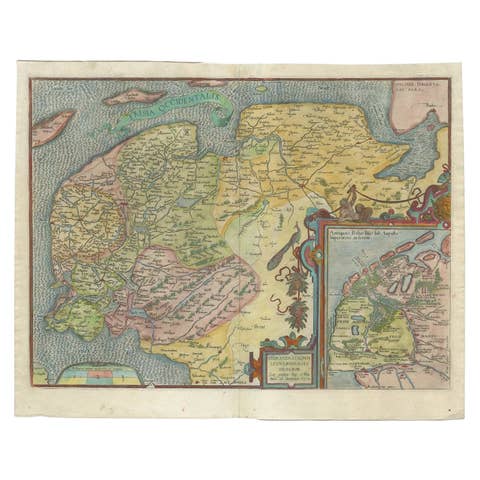
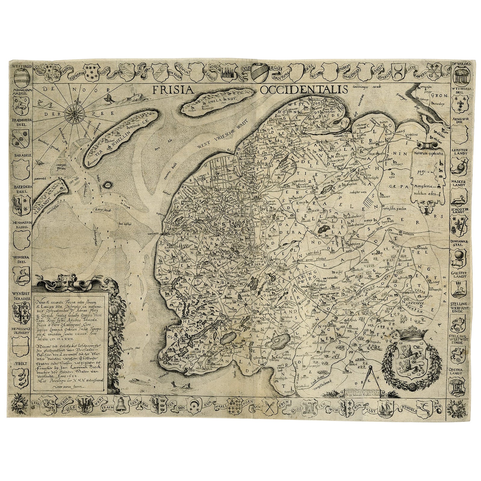
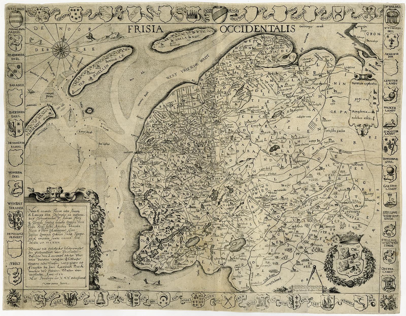
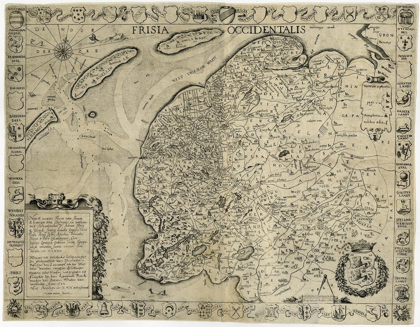
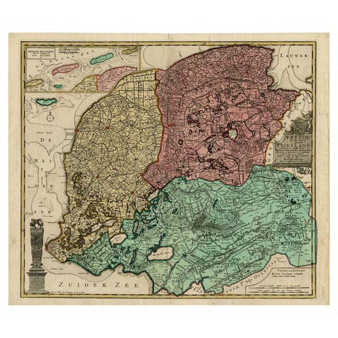
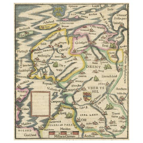
Frisia Occidentalis, A Rare Antique Engraving of Friesland, The Netherlands

€ 2 450

One of a kind: this is the sheet in the photographs. Ships from Langweer, the Netherlands.

Sheet size
44.4 × 57.1 cm (17.5 × 22.5 in)
Condition
Good
Reference
PCT-56643

Condition

Very good, given age. Original folds, as issued, but neatly flattened out. Margins cropped close to the image edge. A small crease in the top right corner. General age-related toning and/or occasional minor defects from handling.
About this sheet

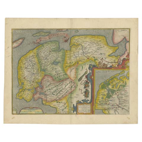
Antique map titled 'Frisia Occidentalis.' - A very decorative map of the Dutch province Friesland, also showing the Wadden islands Terschelling and Ameland. With coats of arms of the municipalities of the area in the borders. A coat of arms in the lower right corner and a title cartouche in the lower left corner. A legend in the top right and a compass rose in the top left corner. From: "Chronique ofte historische geschiedenisse van Vrieslant” by P. Winsemius, published 1622.

Artists and Engravers: Made by 'Engraver: Petro Harlingensis. Publisher: Joannes Lamrinck.' after 'Cartographer: Adrianus Metius & Gerard Freitag.'. Cartographer: Bernardus Schotanus a Sterringa (1640-1704).

More from Province of Friesland

Ask about this sheet

Frisia Occidentalis, A Rare Antique Engraving of Friesland, The Netherlands
Ref. PCT-56643 · € 2 450
We reply by email, usually within one working day.