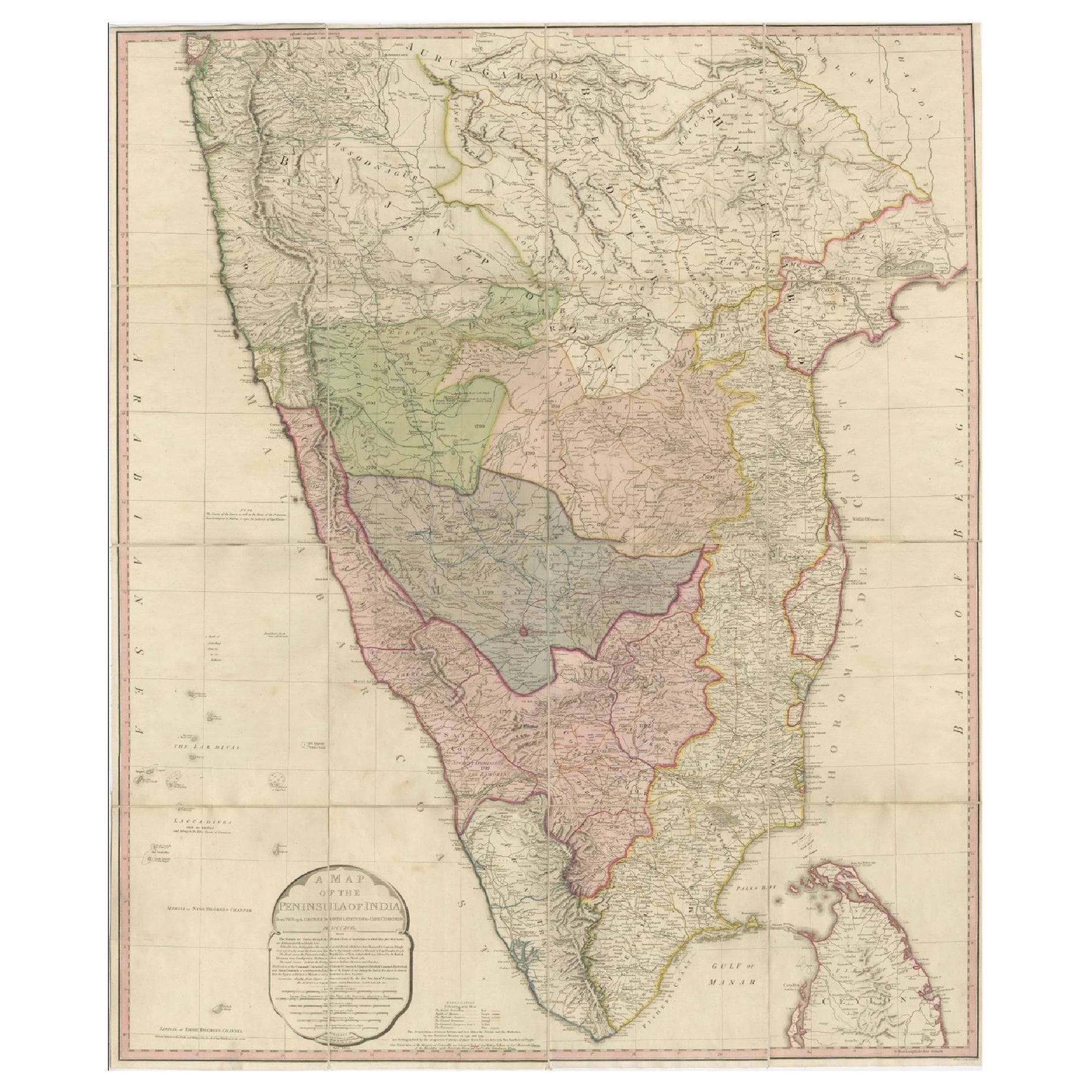
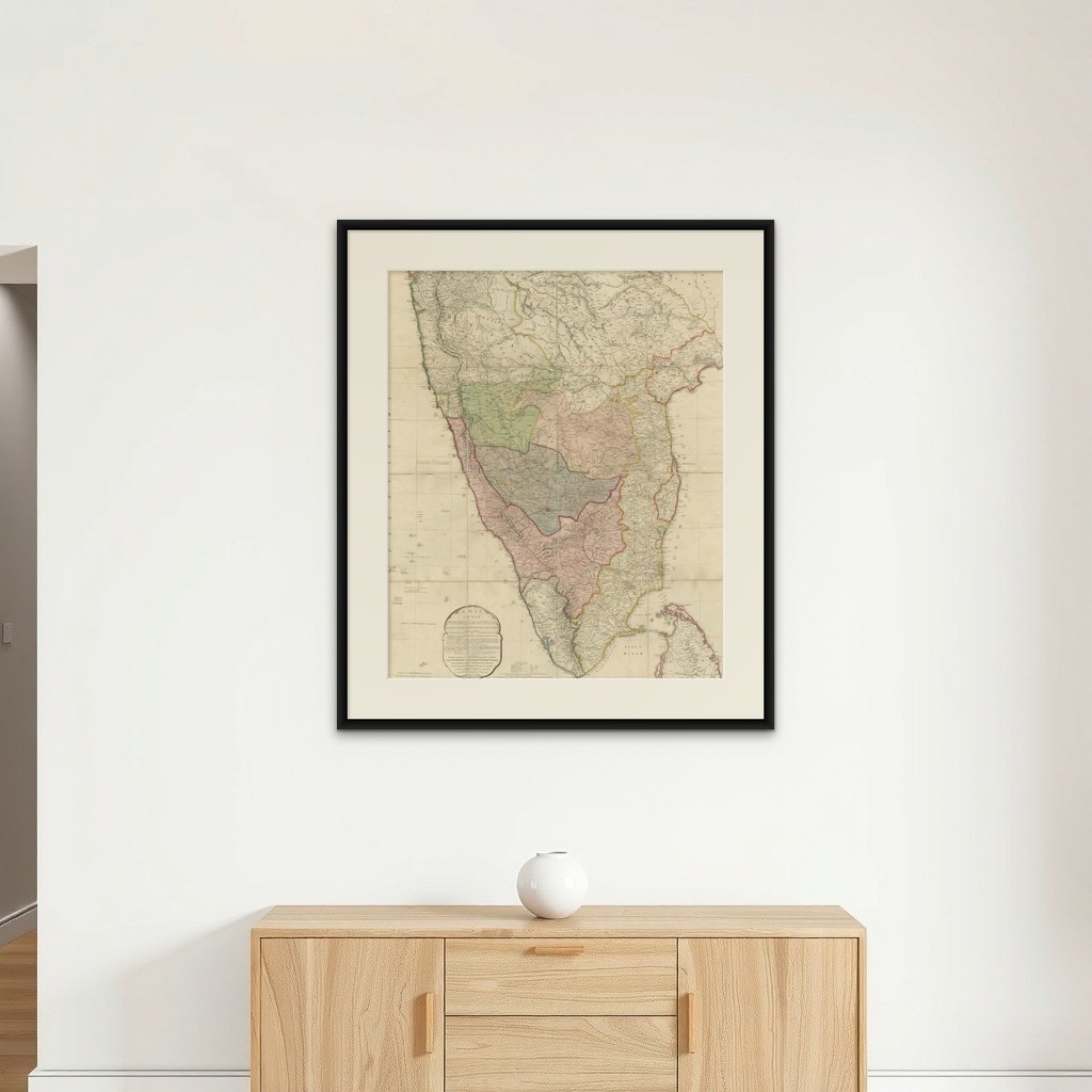
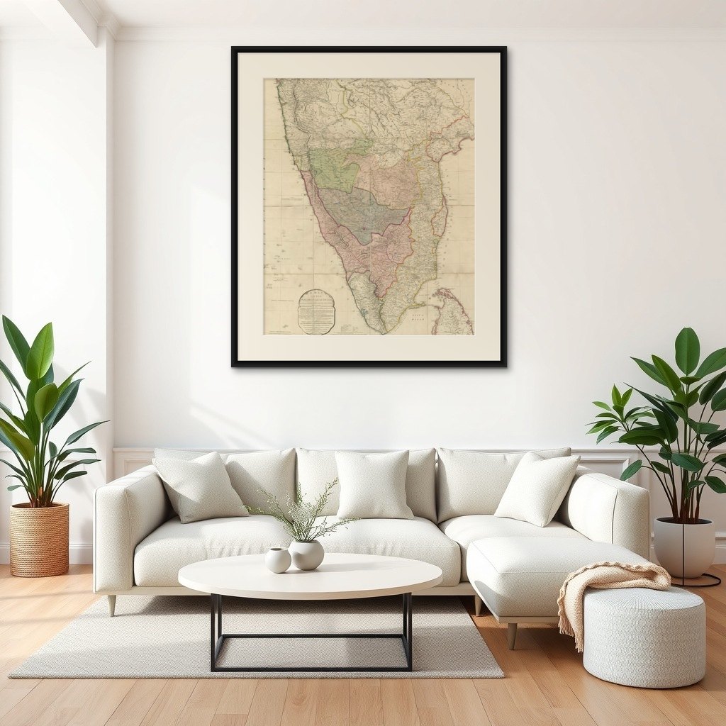
Large Decorative Colonial-Era Map of South India – Peninsula of India, 1800
€ 2 400
Original antique · The actual sheet photographed · Certificate of authenticity on request · Sold unframed · Worldwide shipping from € 15 (rates)
Date
1800
Mapmaker / artist
James Rennell, London, 1792
Technique
Engraving with original hand coloring
Sheet size
100.5 × 84 cm (39.6 × 33.1 in)
Reference
BG-13620
What the condition grades mean
Excellent
Bright and clean, with no faults worth mentioning.
Very good
Only light signs of age, such as faint toning.
Good
Normal signs of age for a sheet of this period: toning, some foxing, small marks or neat old repairs.
Fair
Clear faults such as staining, tears or repairs, priced to match.
Every fault we see is written in the condition note, and the whole sheet is shown uncropped in the photos.
Condition
Very good condition for its age. Original hand-coloring of borders. Some folds are visible as issued (folding map), with minor browning along fold lines and a few small paper splits at intersections. No restoration. Strong laid paper.
About this sheet
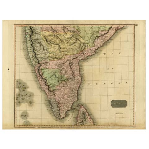
Antique Map of South India – “A Map of the Peninsula of India,” London 1800
This large and detailed antique map titled A Map of the Peninsula of India was published in London in 1800 by James Rennell, one of the most respected British geographers and surveyors of the 18th century. The map focuses on the southern part of the Indian subcontinent, depicting the entire peninsula from Bombay (Mumbai) in the west to the Bay of Bengal in the east, and extending southward to include the island of Ceylon (now Sri Lanka).
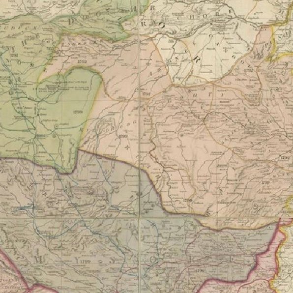
Originally created for the East India Company, this map was designed to provide strategic geographic information for British colonial administration and trade in the region. It delineates the political boundaries of the time, outlining regions controlled by various local powers, such as the Marathas, the Nizam of Hyderabad, the Carnatic, Mysore, Malabar, and the British settlements along the coasts.
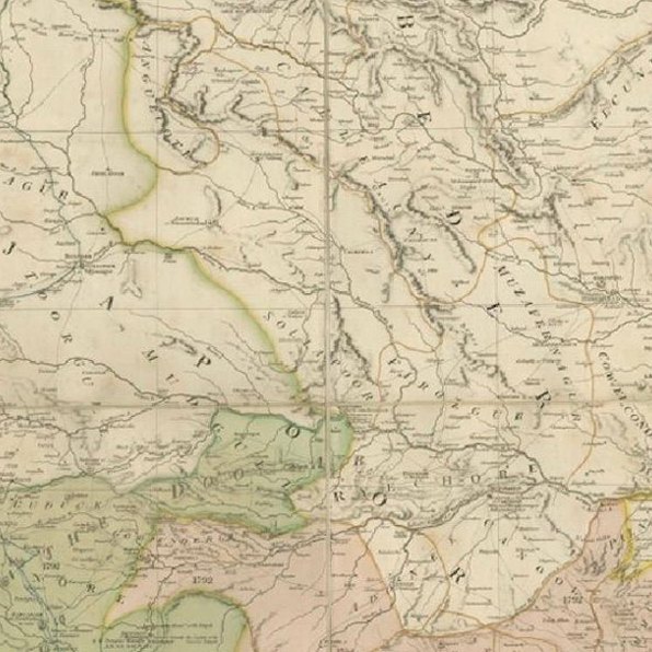
Rennell's cartography is notable for its precision, with detailed notations of rivers, roads, mountain ranges, forts, and towns. The map includes a decorative cartouche at the bottom left bearing the full title, publication date, and the name of the mapmaker, along with a list of the principal geographical sources consulted for its construction.
What makes this map especially significant is that it was compiled at a time of intense conflict and transformation in the Indian subcontinent, during the period of the Anglo-Mysore Wars and growing British expansion into the south. As such, it offers invaluable insight into both the geography and political landscape of India at the end of the 18th century.
Collectors and historians prize this map not only for its historical accuracy but also for its visual appeal—delicate hand-colored borders demarcate the different regions, and the engraving is fine and detailed throughout.
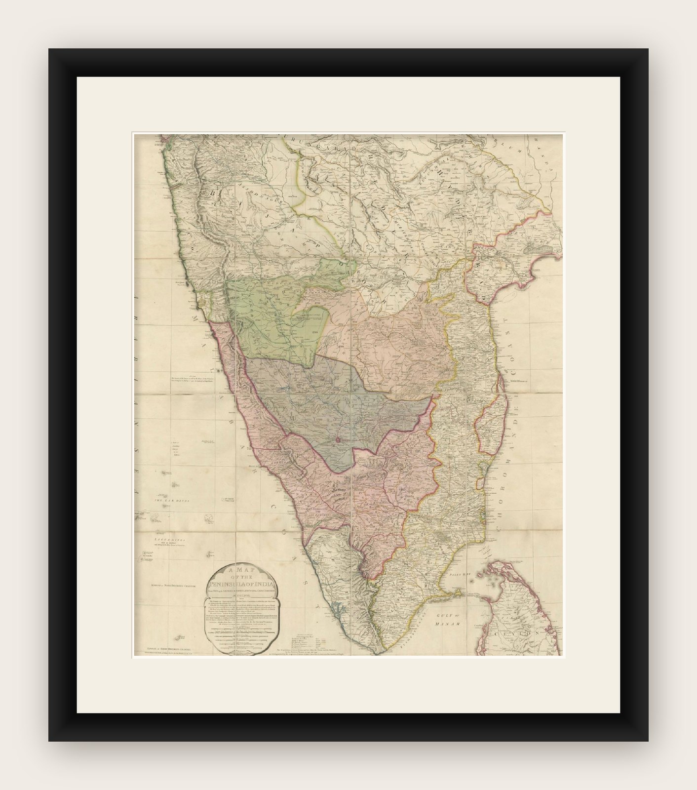
Framing tips: A classic gold or teak frame with a light ivory mat would complement both the period style and subtle coloring of the map. Due to its size, consider float-mounting in a large-format frame with UV-protective glass.