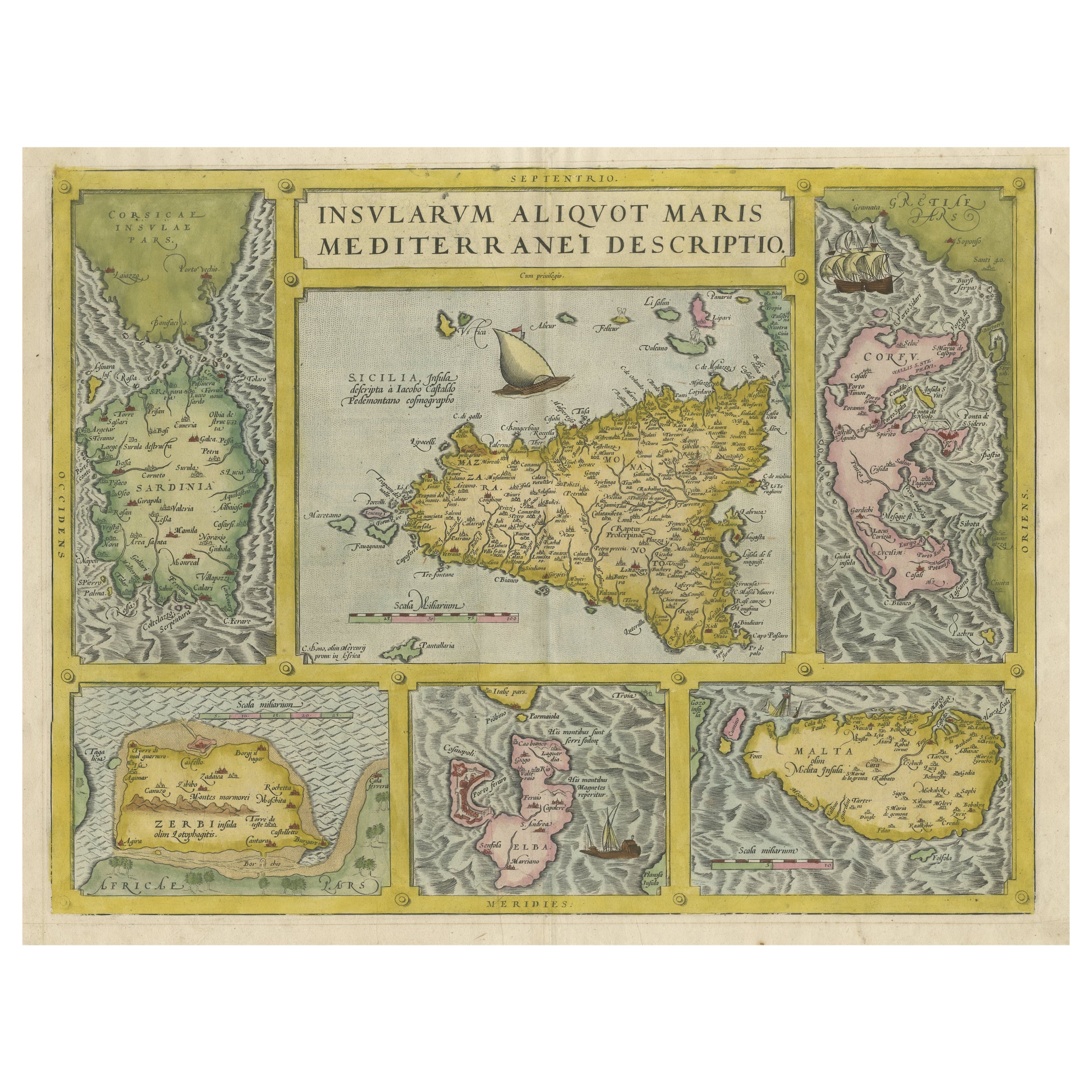
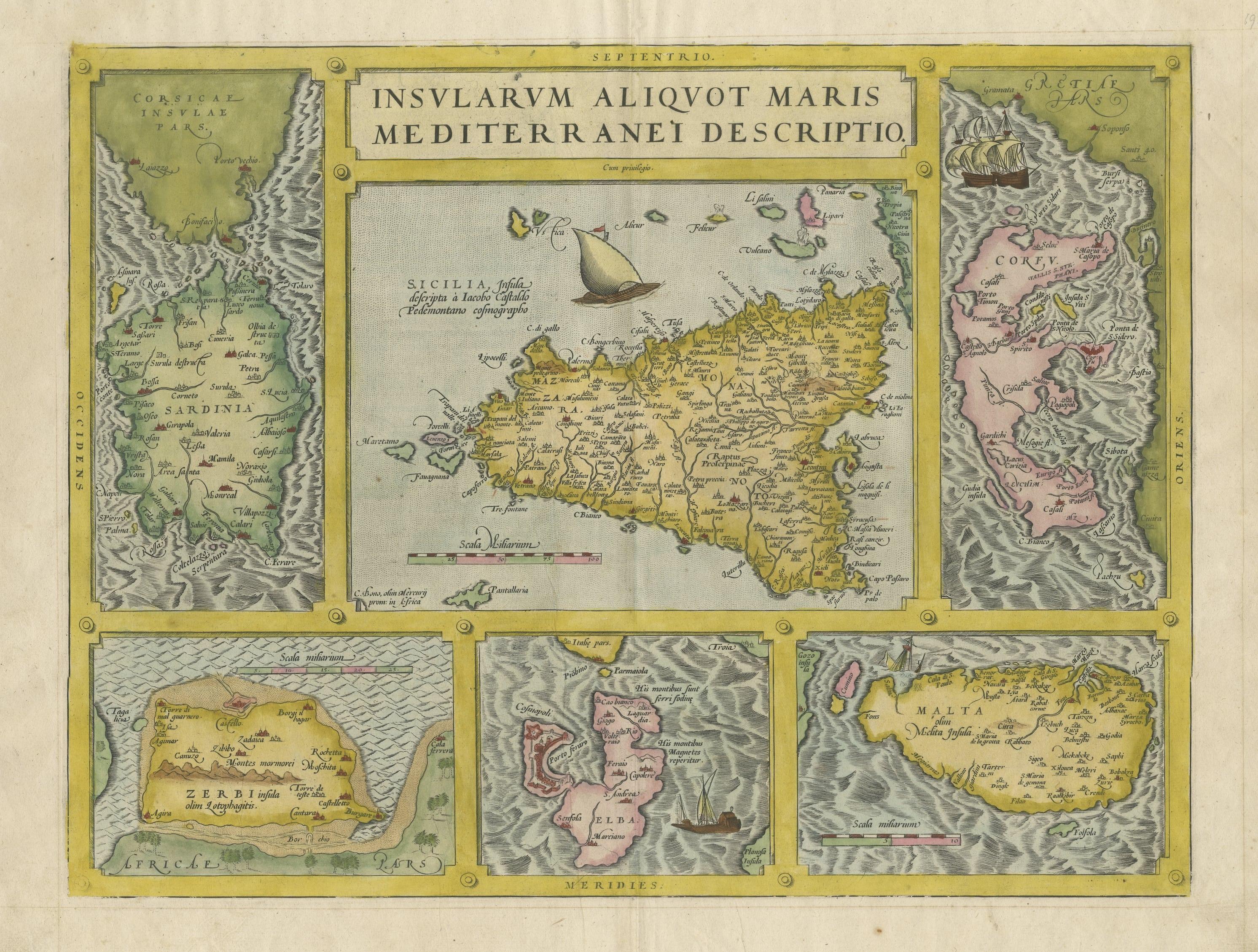
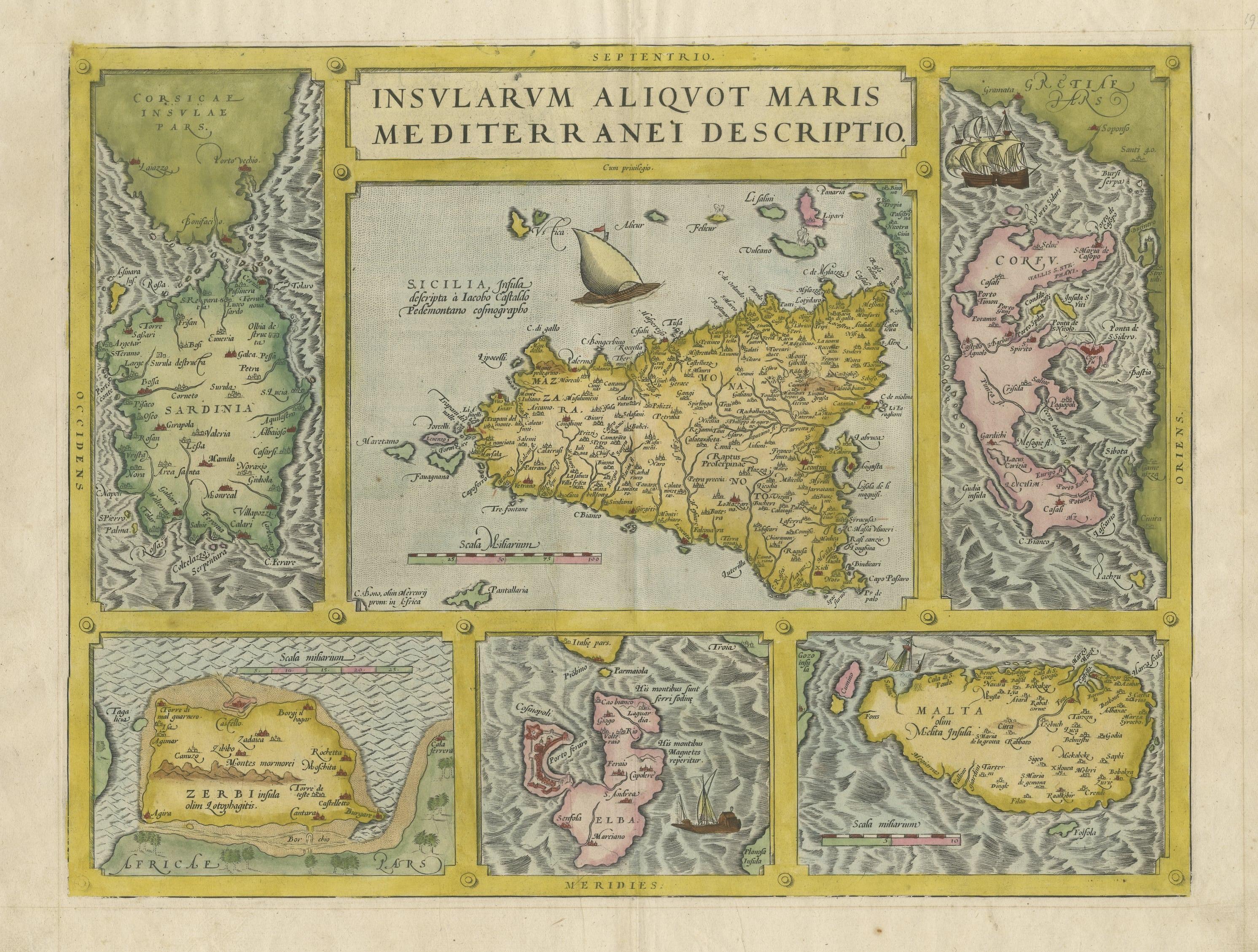
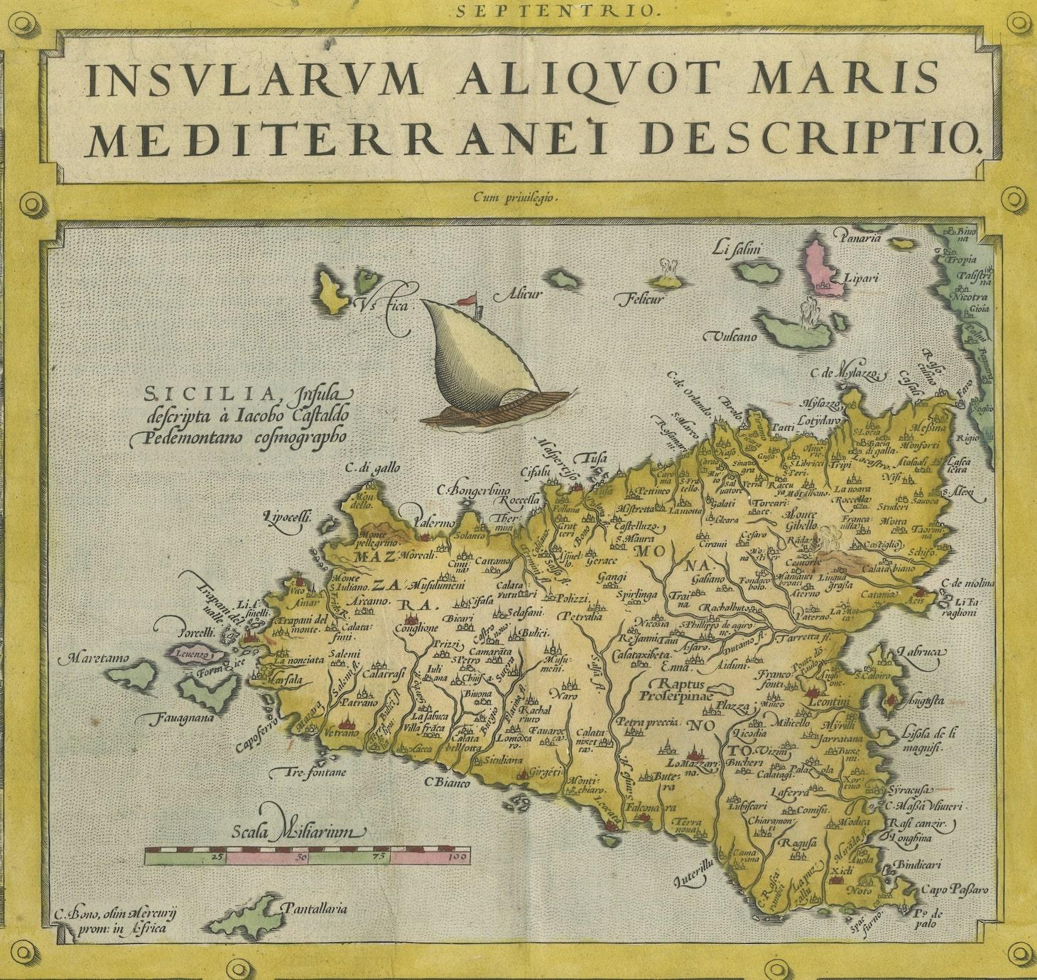
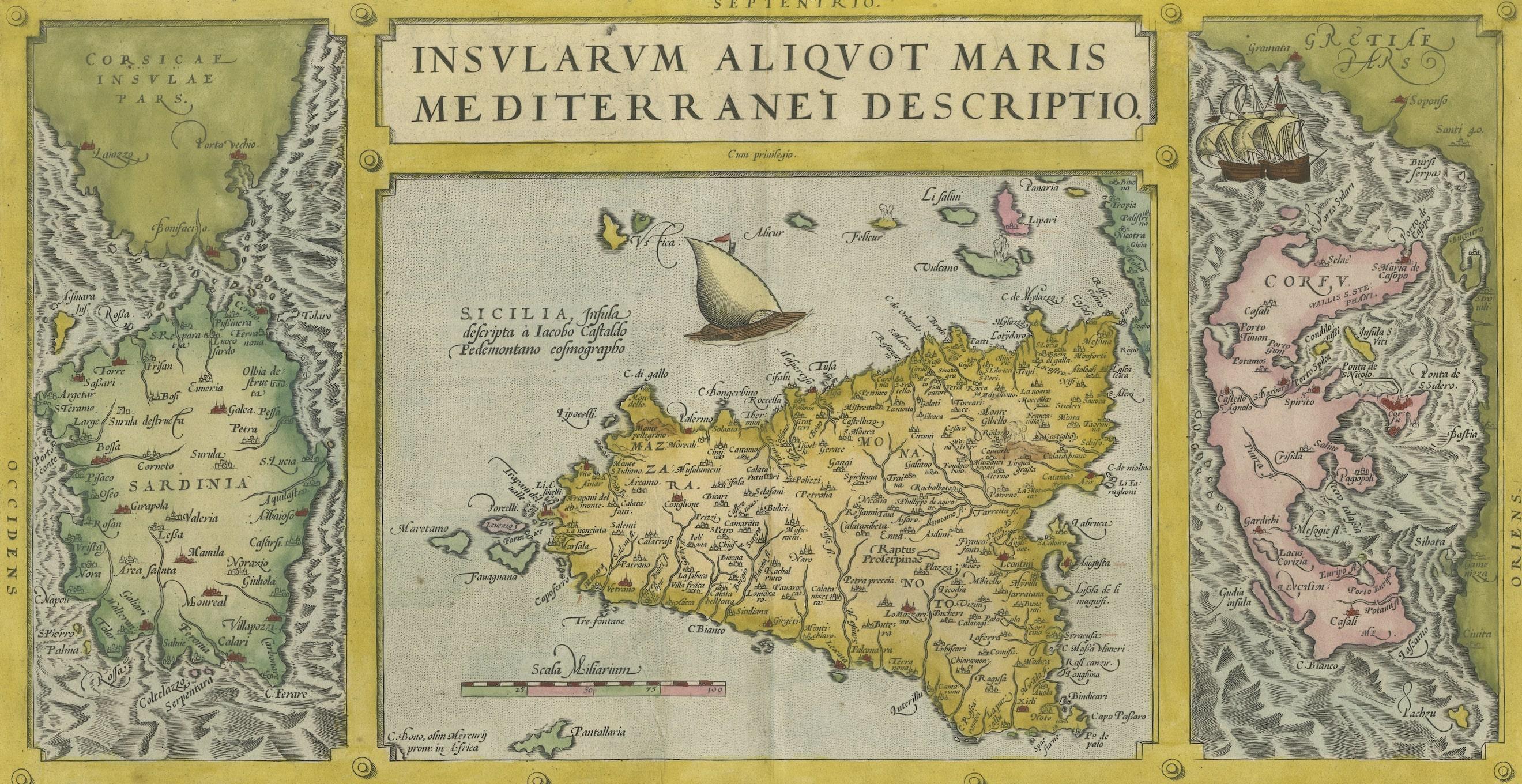
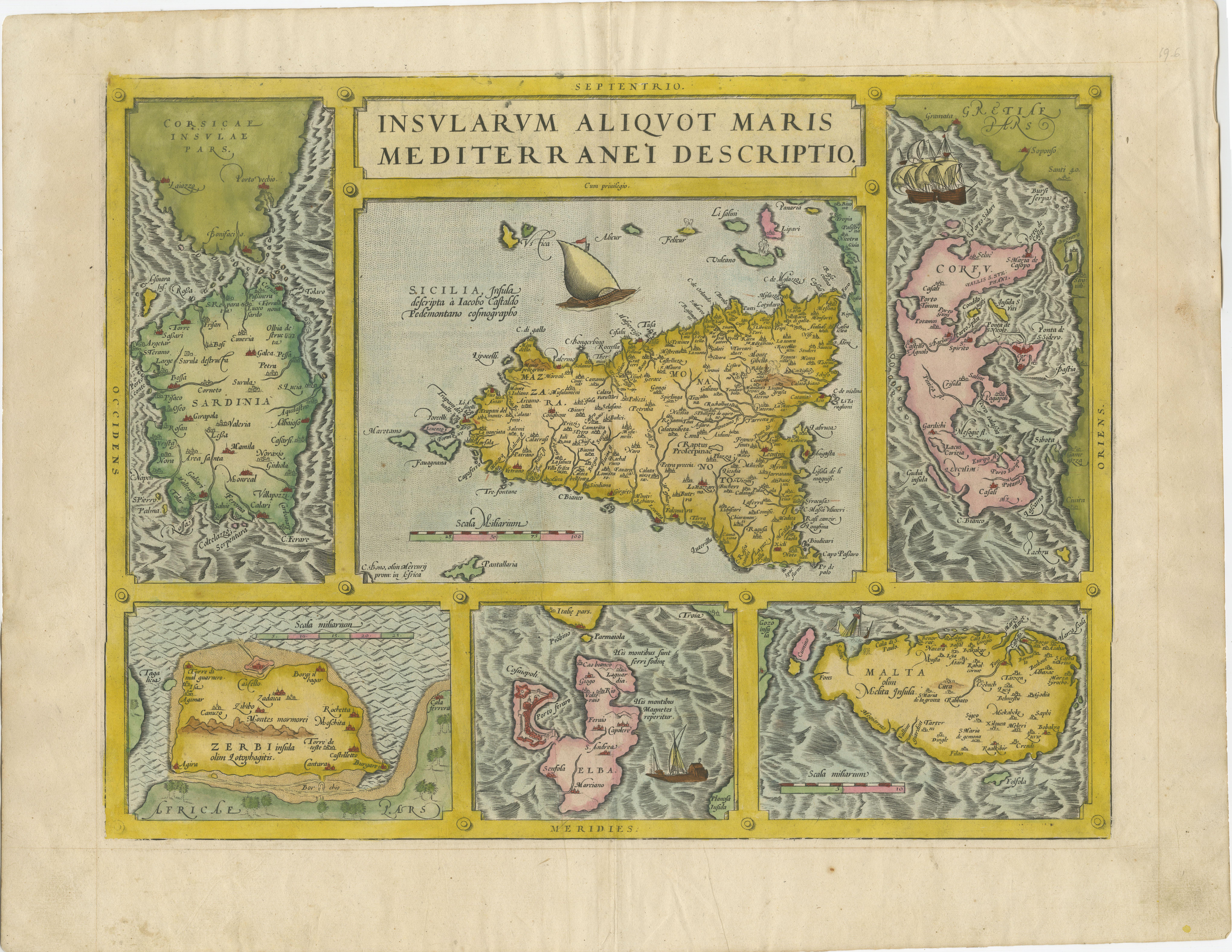
Antique Map of Sicily, Sardinia, Corfu, Elba, Malta and Zerbi (Jerba), c.1579
€ 2 200
One of a kind: this is the sheet in the photographs. Ships from Langweer, the Netherlands.
Date
1579
Mapmaker / artist
Abraham Ortelius
Sheet size
44.5 × 57 cm (17.5 × 22.4 in)
Condition
Good
Reference
BGPB-002
Condition
General age-related toning. Original folding line. Some wear and soiling. Latin text on verso, also two pieces of tape on verso. Please study image carefully.
About this sheet
Antique map titled 'Insularum Aliquot Maris Mediterranei Descriptio'. A very attractive example of Ortelius' map combining, on one page, maps of the islands of Sicily, Sardinia, Corfu, Elba, Malta and Zerbi (Jerba, off the coast of Tunisia.) The maps detail fortifications on the islands and other major features. (Jerba, for instance, is shown connected to the mainland by a causeway.) The waters are attractively engraved and are sailed by ships. A shipwreck, north of Malta, indicates the point at which St. Paul is thought to have shipwrecked. Volcanoes are indicated in the Sicily map at Etna, Vulcano and Filicudi.
Abraham Ortelius is perhaps the best known and most frequently collected of all sixteenth-century mapmakers. Ortelius started his career as a map colorist. In 1547 he entered the Antwerp guild of St Luke as afsetter van Karten. His early career was as a business man, and most of his journeys before 1560, were for commercial purposes. In 1560, while traveling with Gerard Mercator to Trier, Lorraine, and Poitiers, he seems to have been attracted, largely by Mercator’s influence, towards a career as a scientific geographer. From that point forward, he devoted himself to the compilation of his Theatrum Orbis Terrarum (Theatre of the World), which would become the first modern atlas.