About this sheet
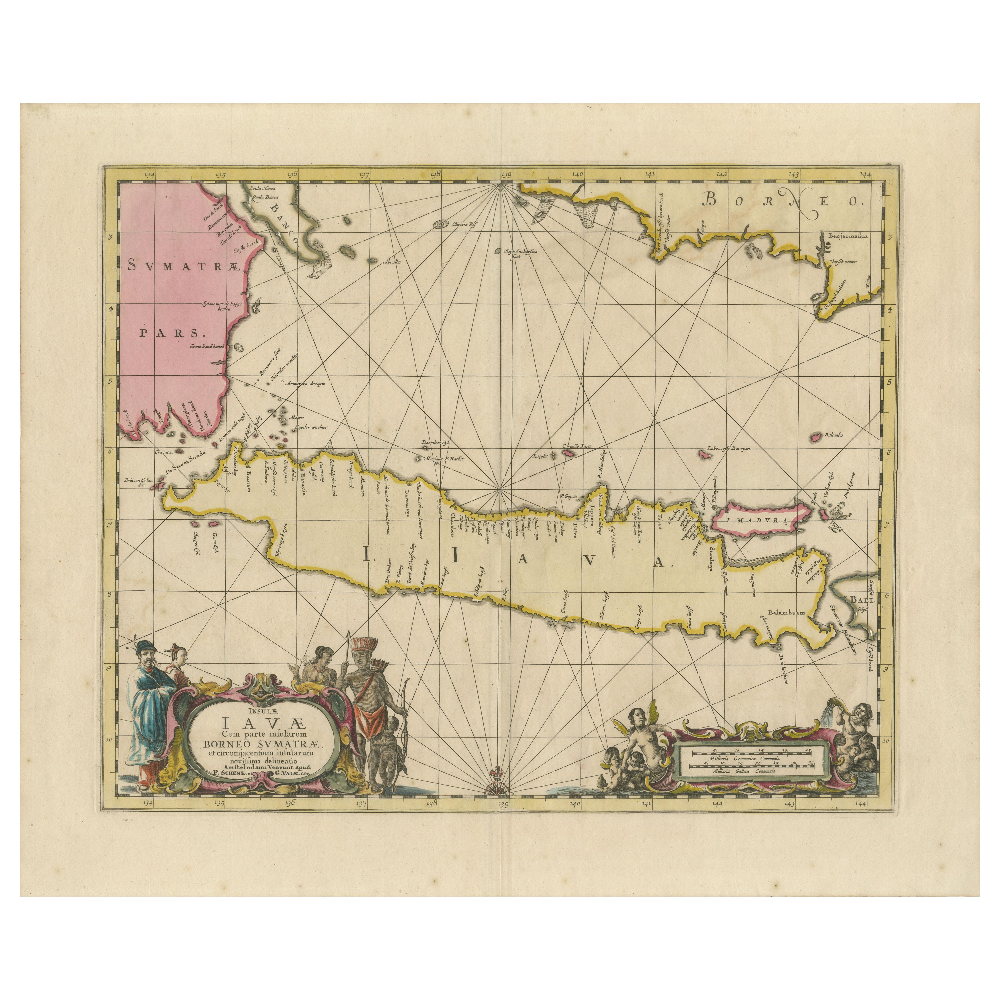
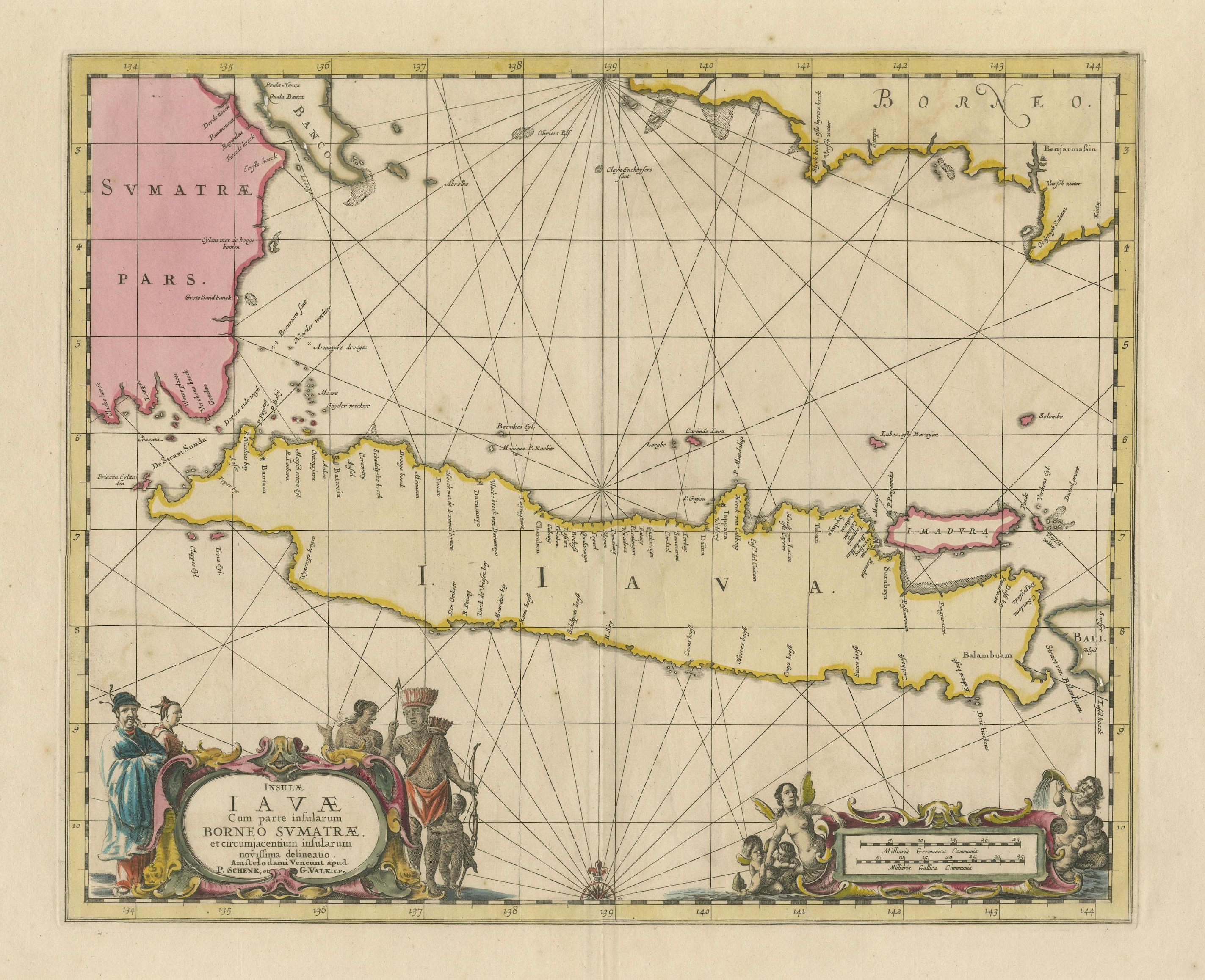
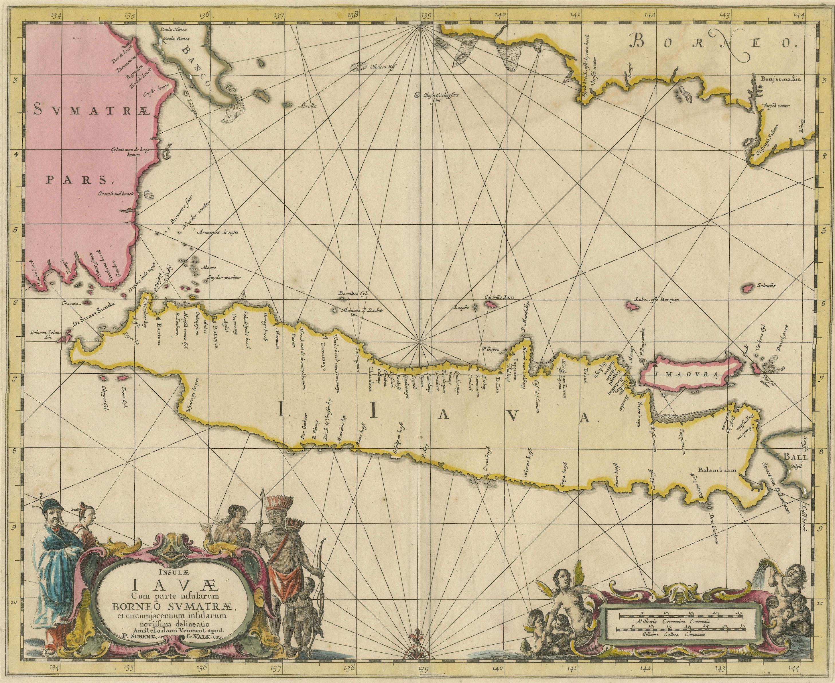
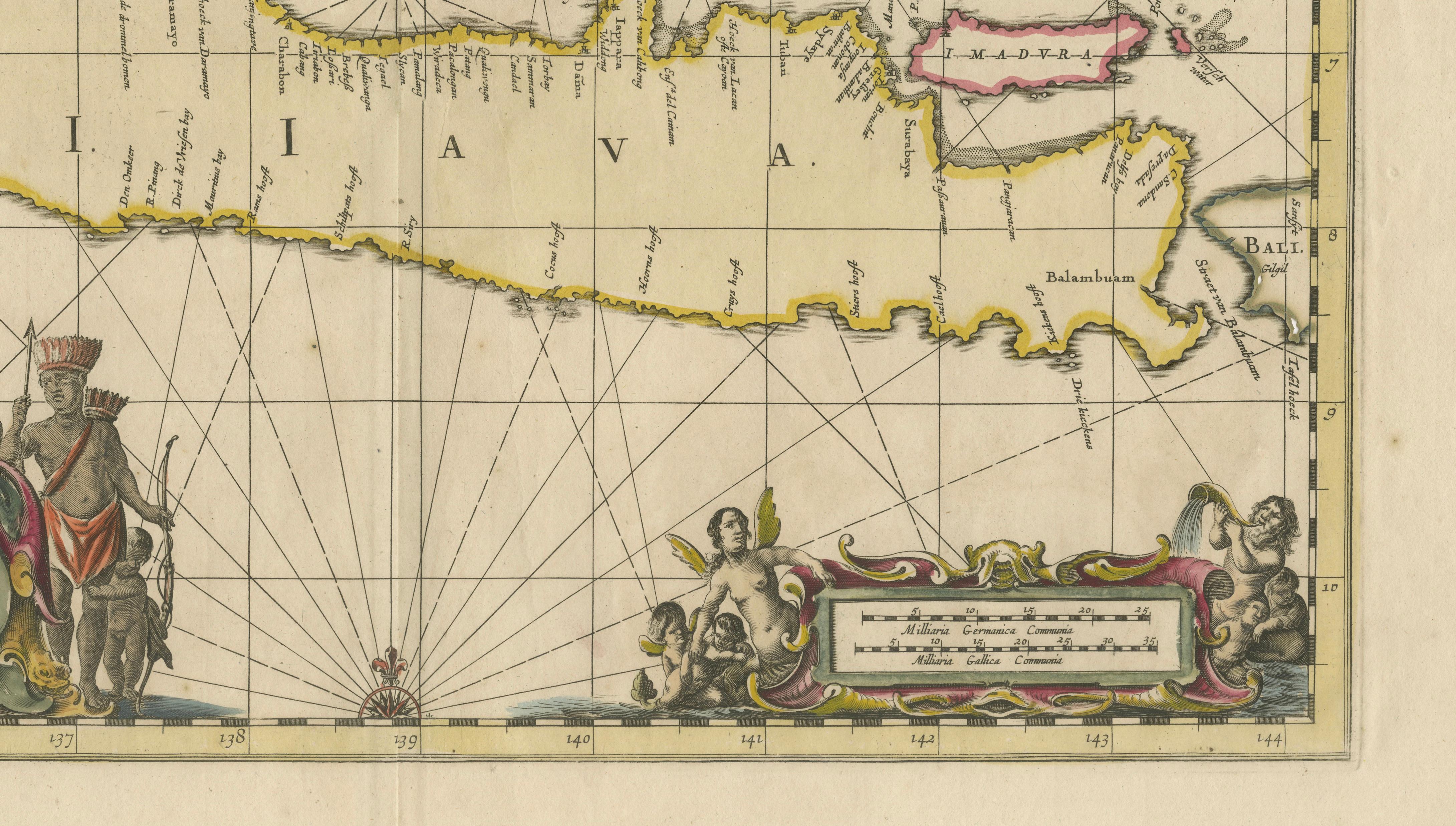
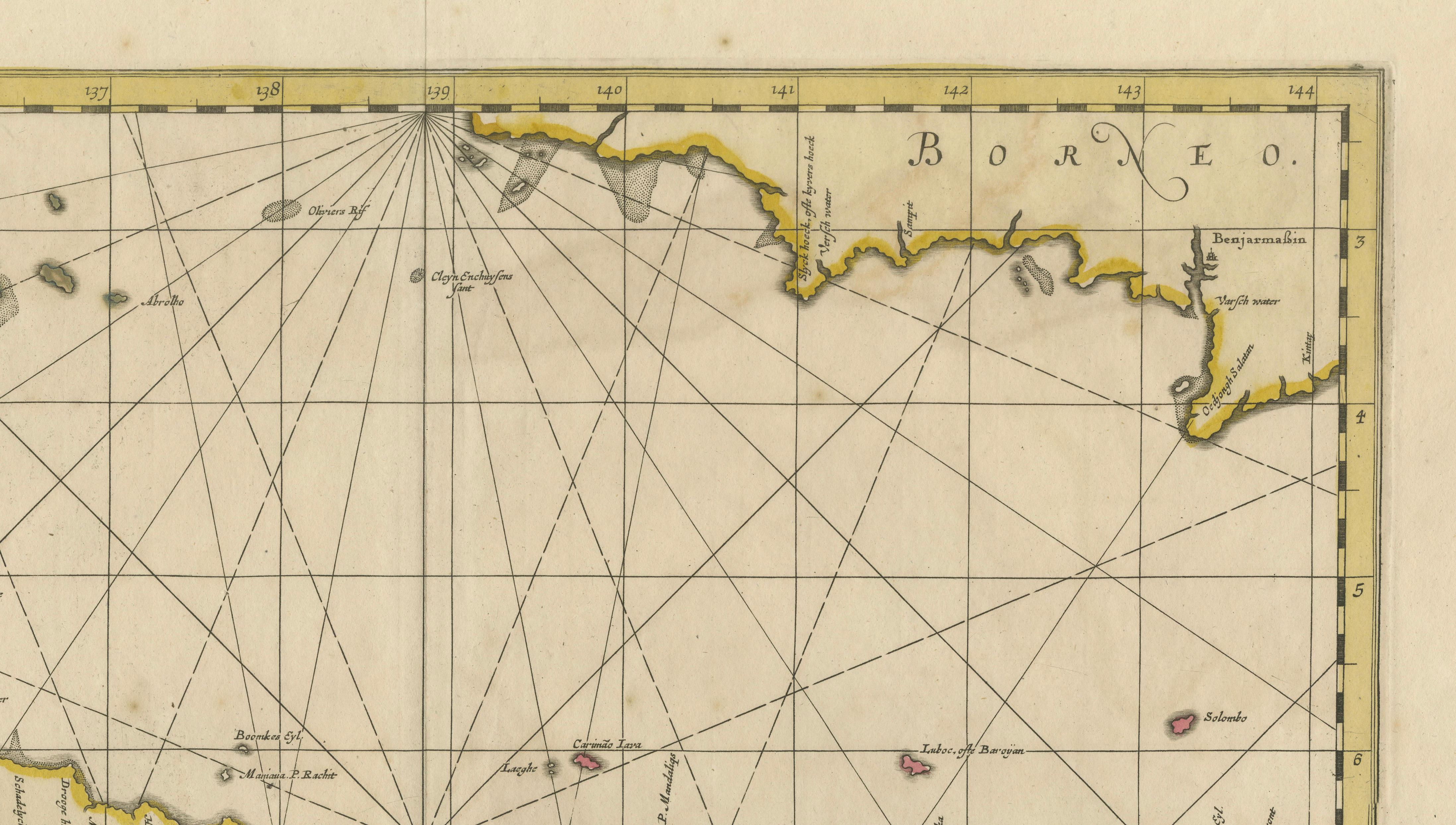
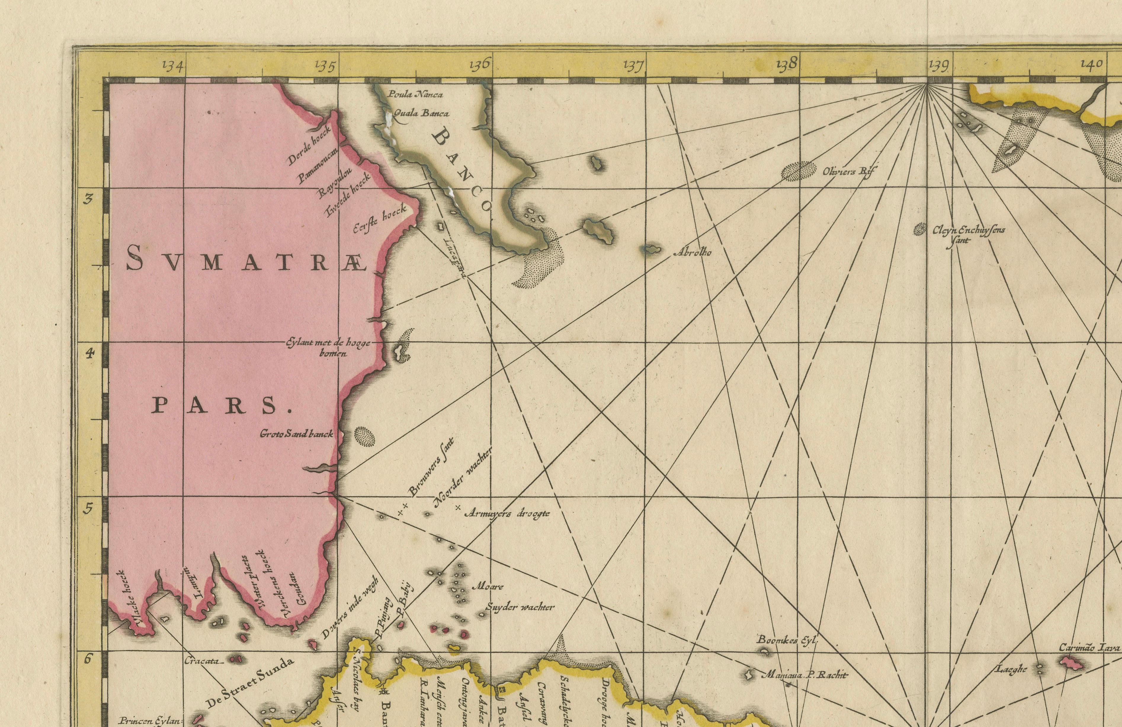
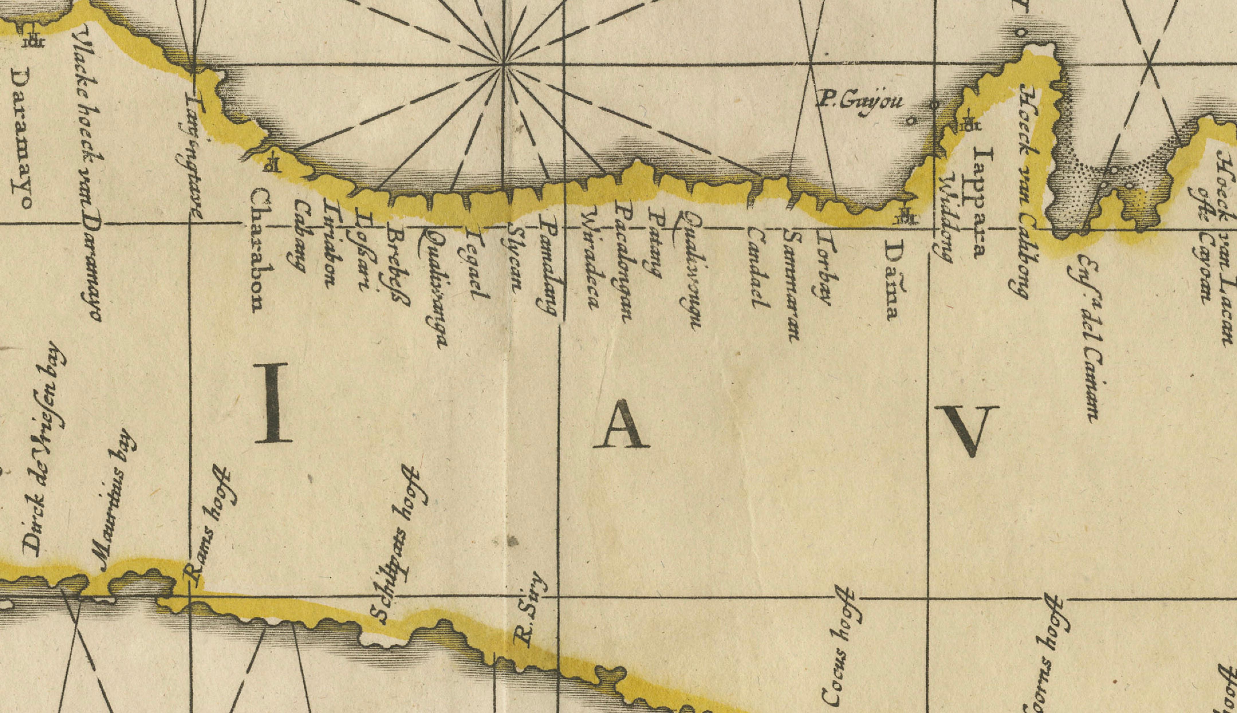
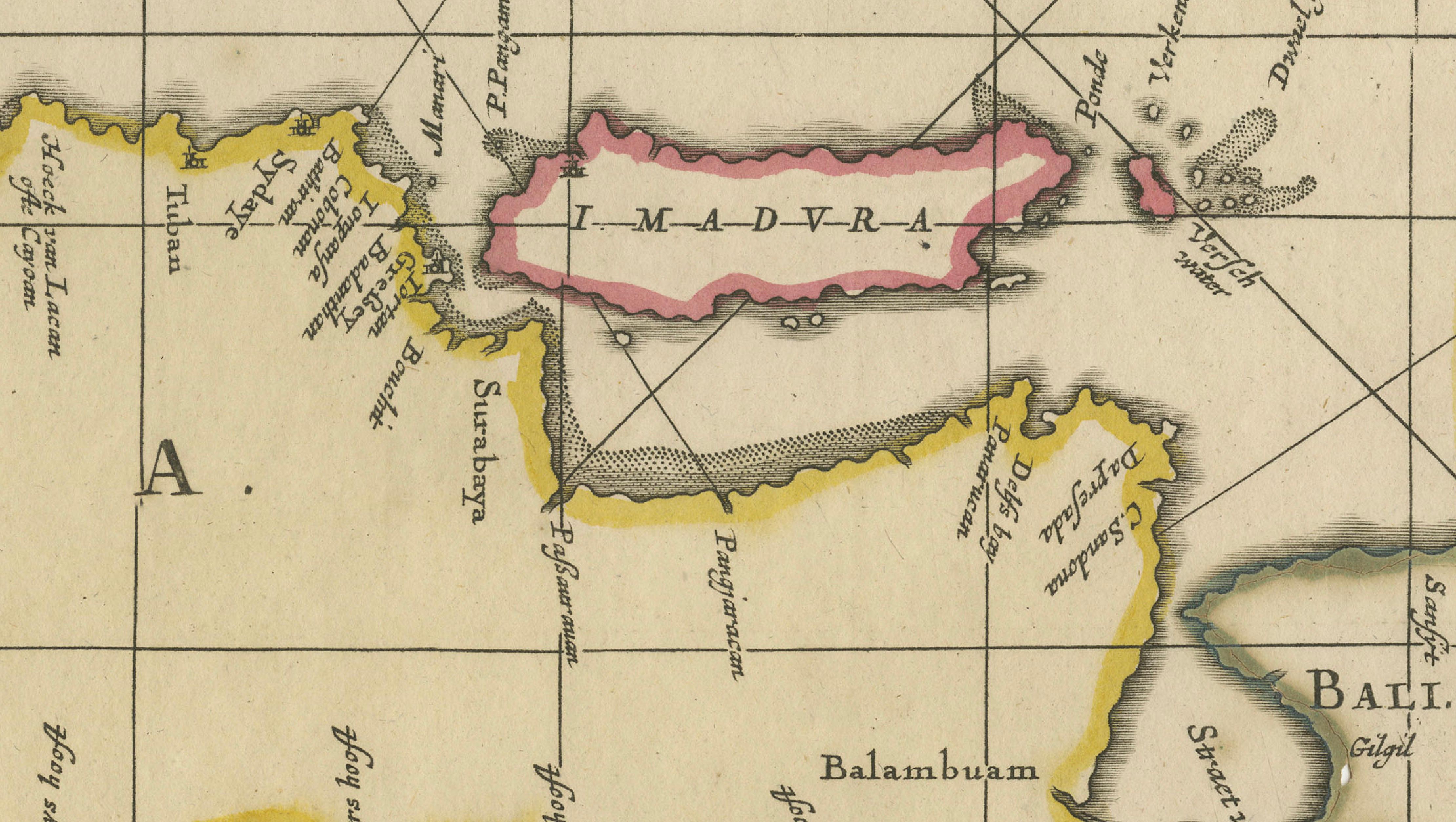
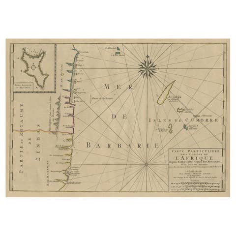
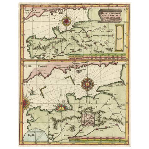
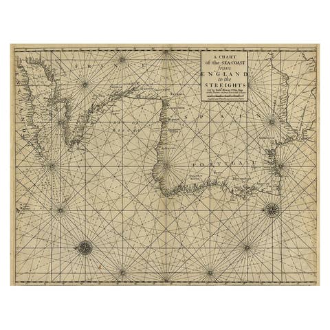
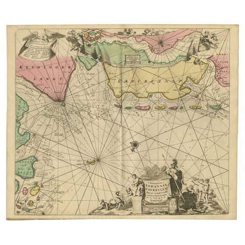
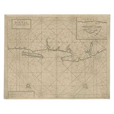
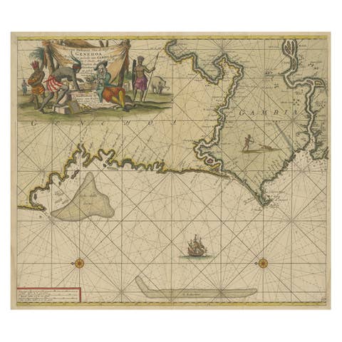
This original antique sea chart depicts the island of Java in full length, shown together with adjacent parts of Sumatra, Borneo, Madura, and Bali. Conceived primarily as a maritime chart, the map emphasizes coastlines, anchorages, shoals, reefs, and sailing routes, with an extensive network of rhumb lines radiating across the surrounding seas. Inland detail is deliberately limited, underscoring the chart’s navigational purpose during the height of European maritime expansion in Southeast Asia.
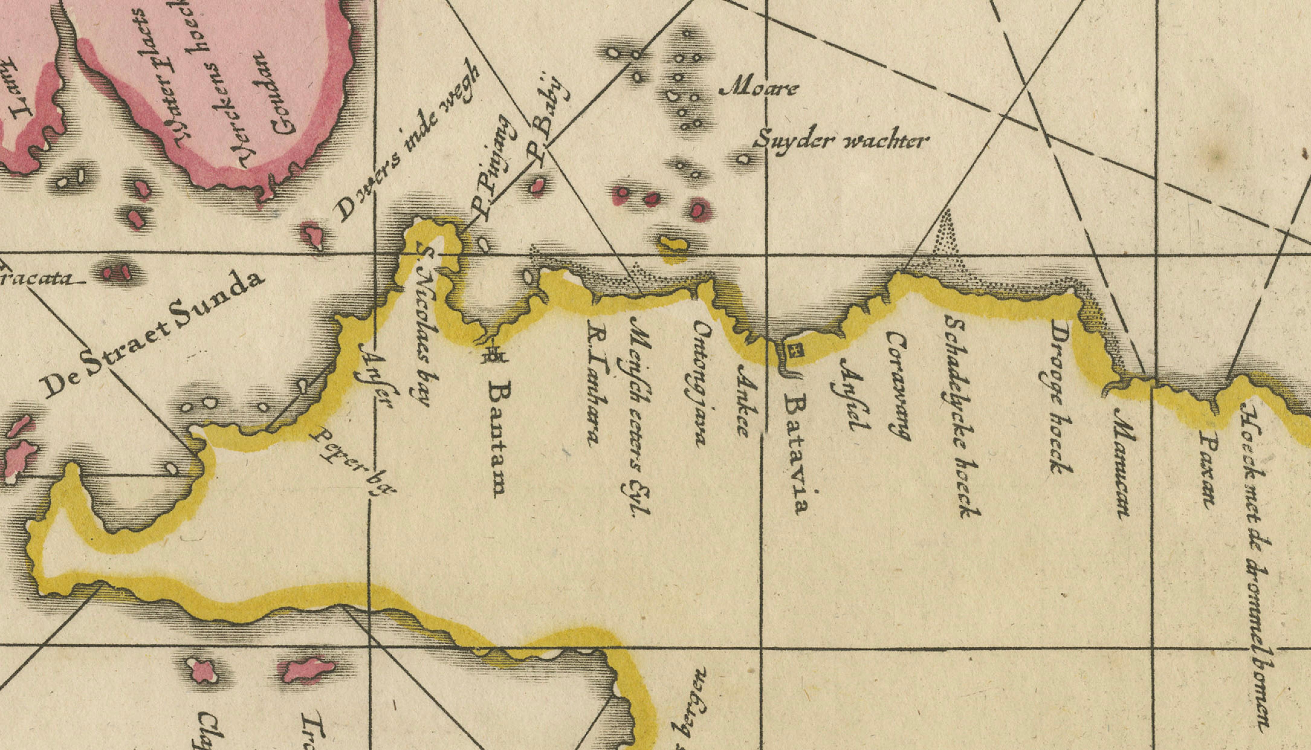
Java is prominently labeled “IAVA” and carefully engraved with numerous coastal place names, including Bantam (Bantam), Batavia (Jakarta), Cheribon (Cirebon), Japara (Jepara), Surabaya, and Balambuan (Blambangan). Madura (I. Madura) appears to the northeast, while Bali is shown at the eastern end of the island. To the west, part of Sumatra is depicted with the Sunda Strait clearly marked, a strategically vital passage for Dutch East India Company shipping. The northern coastline of Borneo completes the regional framework.
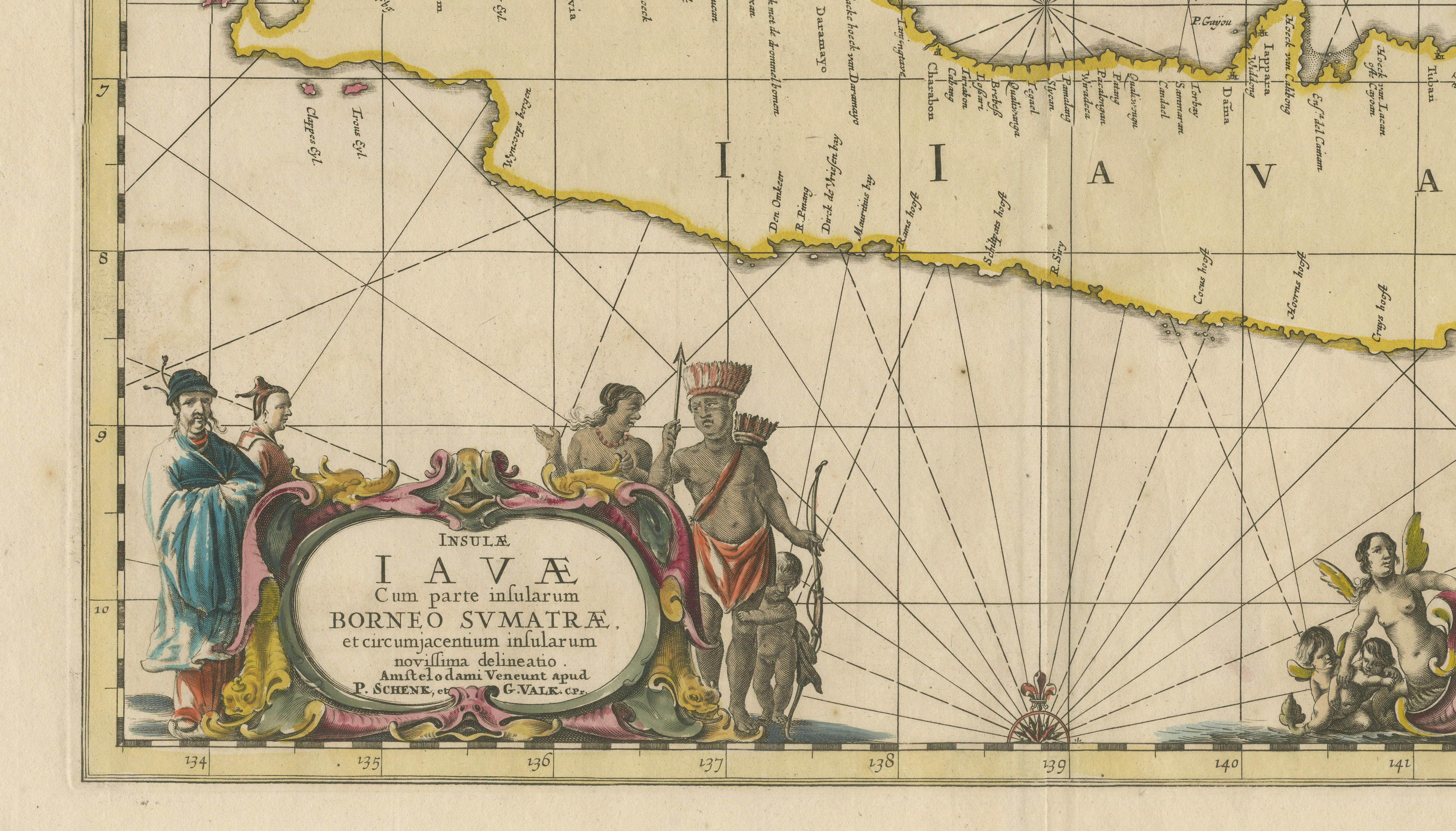
The chart is embellished with an elaborate title cartouche flanked by allegorical and ethnographic figures, reflecting European interpretations of the East Indies at the turn of the 18th century. A separate cartouche displays scale bars in both German and Gallic miles. The decorative engraving, combined with precise coastal delineation, exemplifies Dutch cartography of the late 17th and early 18th centuries.
This map was issued by **Schenk & Valk** of Amsterdam, using a copperplate that originated earlier in the Janssonius cartographic tradition. After the decline of the Janssonius firm, many of its plates were acquired, reissued, and sometimes lightly updated by later Amsterdam publishers. Schenk & Valk were among the most important of these successors, preserving and disseminating high-quality Dutch geographic knowledge for a new generation of atlases and sea charts.
An attractive and historically significant chart, this work appeals to collectors of early maps of Indonesia, Dutch East Indies history, and decorative nautical cartography.
Condition report:: Light overall toning consistent with age. Vertical centerfold as issued. Minor scattered spotting and faint handling marks. Minor pigment bleed-through in the green areas, as often seen in early hand-colored maps.
Framing tips:
Float-mount with a soft ivory or light warm-grey mat to complement the aged paper. A dark wood or black frame enhances the coastal outlines and decorative cartouches.
Technique: Copper engraving with hand coloring
Maker: Schenk & Valk, Amsterdam, circa 1700