maps-prints.com
✦
Black Friday Sale
Friday 20 to Monday 30 November: up to 30% off original antique maps and prints
The terms
- Up to 30% off selected original antique maps and prints. Every piece is an original, printed in its own time; none is a reproduction.
- The sale runs from Friday 20 November to Monday 30 November. Sale prices shown here apply from Friday 20 November; until then pieces are sold at their regular price.
- Free FedEx shipping on qualifying orders placed on our own websites: USA, Canada, UK and Europe over $500 / €450; rest of the world over $750 / €675. Smaller orders pay our normal shipping rate.
- Orders placed from 15 to 30 November ship from 1 December, in time for Christmas. Our shipping partner is InXpress.
- Each piece is unique, so the sale is while stock lasts.
Collection:AllAmericanSea chartsMilitaryNatural historyFashionArchitectureBotanicalSacredEast Indies
Sale prices apply from Friday 20 November. Save the pieces you like with the heart and come back on Friday.
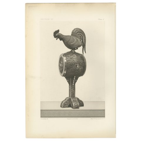 Rooster on an Ornamental Drum – from Audsley’s Decorative Masterpieces, 1884
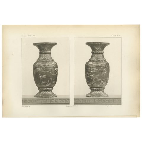 Decorative Landscape Vases – Heliograph from Audsley’s Japanese Art, 1884
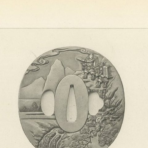 Exquisite Japanese Tsuba (Sword Guards) – Decorative Art by Audsley, 1884
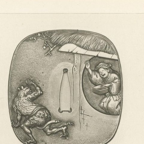 Mythical and Narrative Japanese Tsuba Designs (Sword Guards) – by Audsley, 1884
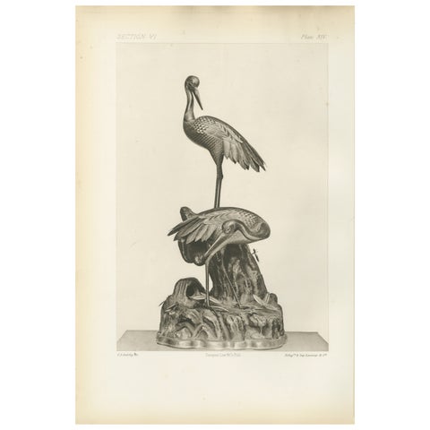 Elegant Cranes on Ornamental Base – Heliographic Japanese Art by Audsley, 1884
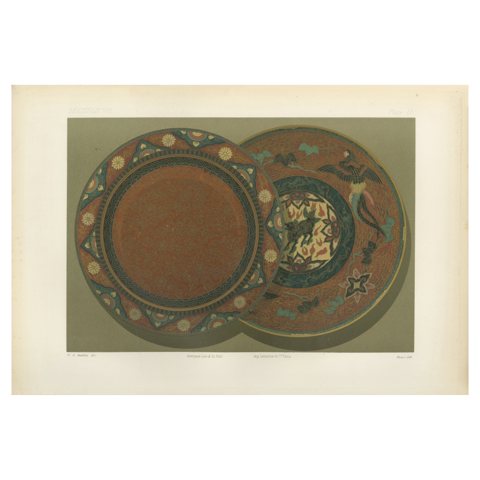 Exquisite Decorative Plates with Japanese Ornamental and Mythical Themes, 1884
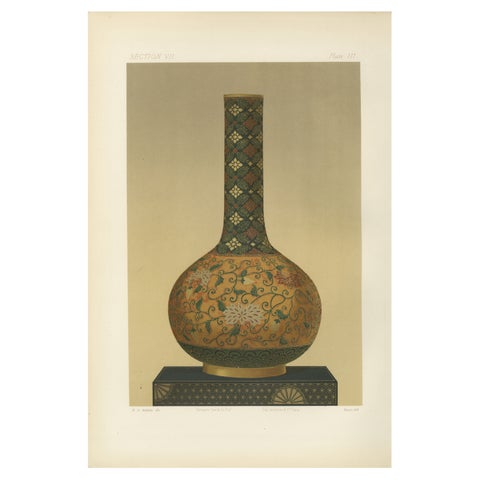 Ornamental Elegance – Floral Motif Long-Neck Vase, from Audsley’s Art, 1884
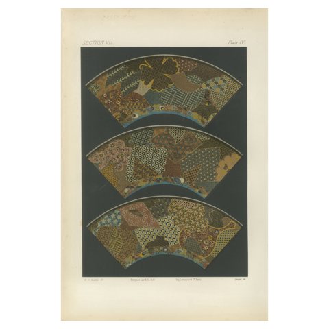 Intricate Patterns of Japanese Fan Design, from Audsley’s Decorative Art, 1884
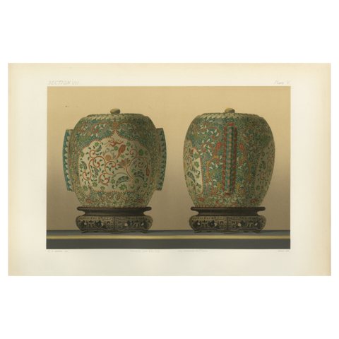 Exquisite Cloisonné-Style Urns, Decorative Japanese Art by Audsley, 1884
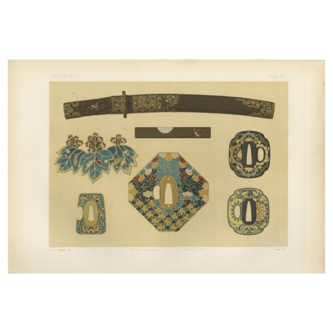 Intricate Japanese Sword Fittings and Ornaments, Japanese Art by Audsley, 1884
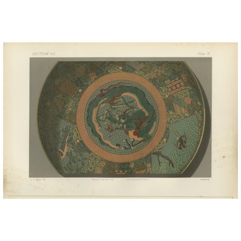 Intricate Dragon Motif Design, Decorative Japanese Art by Audsley, 1884
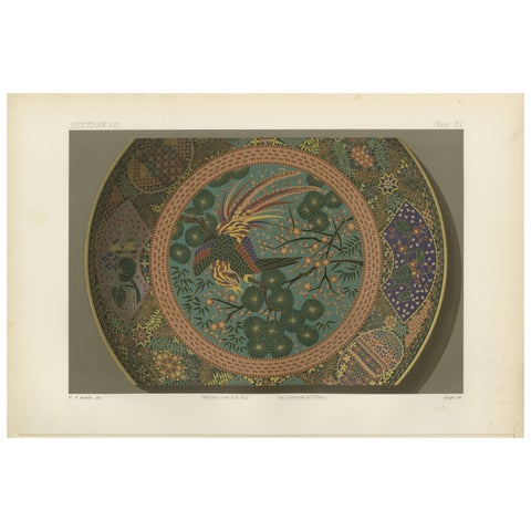 Decorative Plate with Phoenix and Floral Motifs - Japanese Art by Audsley, 1884
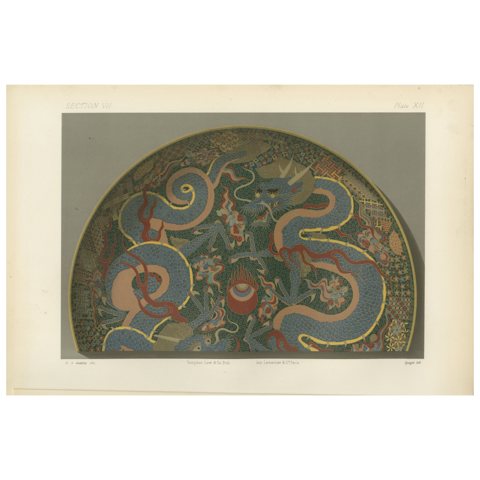 Decorative Plate with Twin Dragons and Flaming Pearl - Art by Audsley, 1884
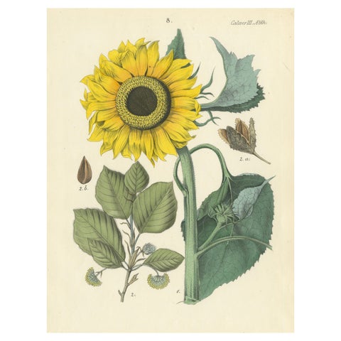 Hand-Colored Botanical Lithograph of Sunflower & Linden Tree, 1854
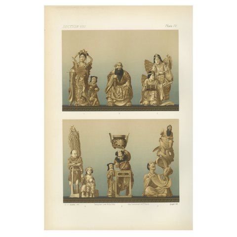 Japanese Figurines Illustrating Mythological, Ceremonial, Everyday Scenes, 1884
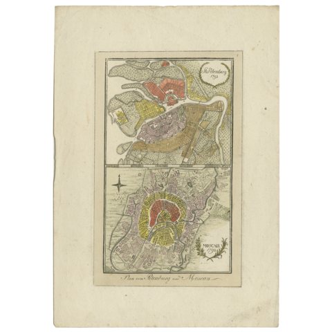 1792 Hand-Colored Plan of St. Petersburg and Moscow in Russia
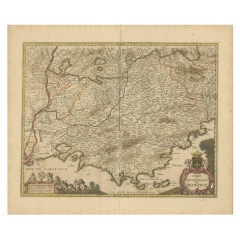 Map of the Provence in Southern France, Original Old Engraving by De Wit c. 1688
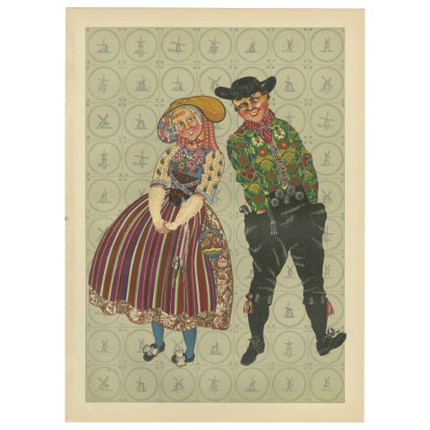 Radiant Festival Dress of South Beveland Couple, ca. 1780–1840, Published 1932
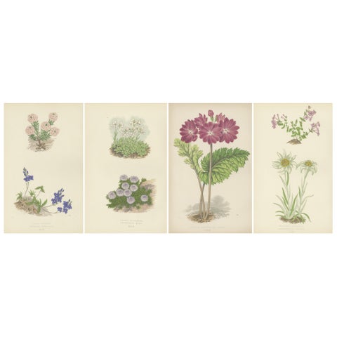 Alpine Botanical Lithograph Quartet: Micomeria, Edelweiss, Primula, and Arabis
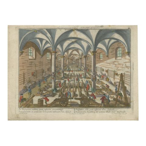 Perspective View of a Cannon Foundry – 18th-Century Hand-Colored Optical Print
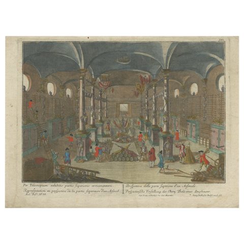 Optical Print of an Arsenal Interior – Upper Hall with Arms Display, c.1760
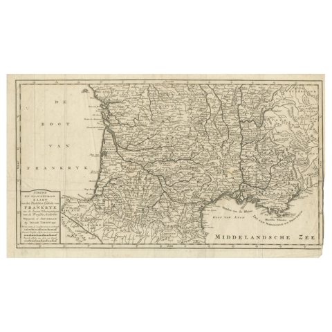 France Map 1757 – Southern Provinces by Isaak Tirion in Dutch Engraving
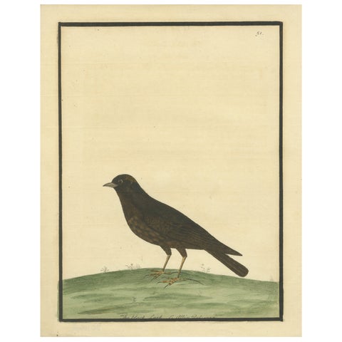 Antique Hand-Colored Engraving of The Black Lark by Eleazar Albin, circa 1730
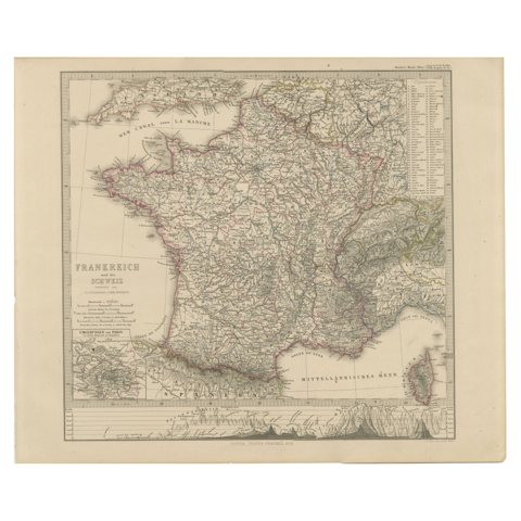 1856 France and Switzerland Map with Mountain Profiles
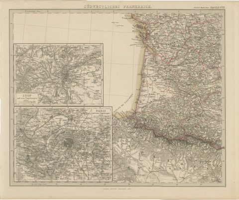 Antique Map of Southwestern France – With Insets of Paris & Lyon, 1858
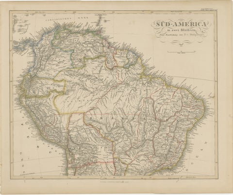 1857 Map of Northern South America – Brazil, Colombia, Peru by Stülpnagel
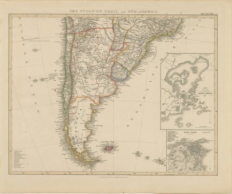 1857 Map of Southern South America – Argentina, Chile, Rio de Janeiro
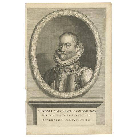 Portrait of Archduke Ernest of Austria – Governor of the Spanish Netherlands
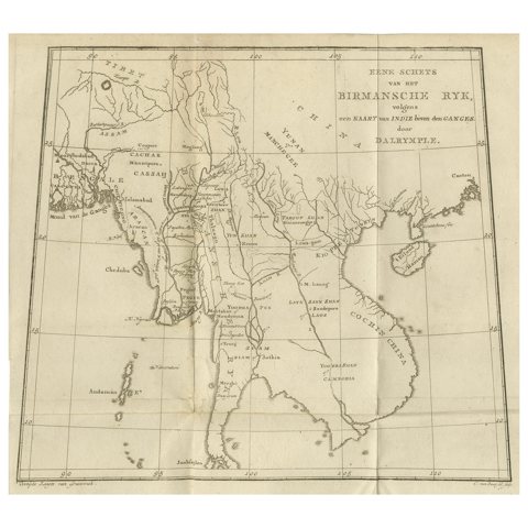 Antique Map of the Burmese Empire and Upper Indochina – by Dalrymple, c.1800
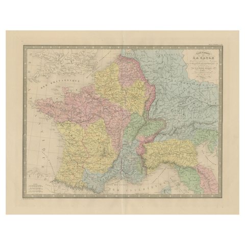 Roman Gaul & Northern Italy – Antique Map of La Gaule by Andriveau-Goujon, 1861
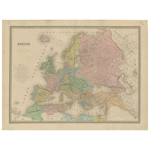 Antique Map of Europe – Political Divisions by Andriveau-Goujon, Paris 1861
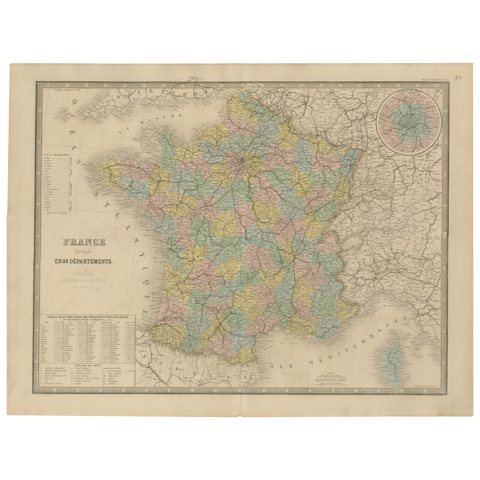 Antique Map of France – Divided into 89 Departments by Andriveau-Goujon, 1861
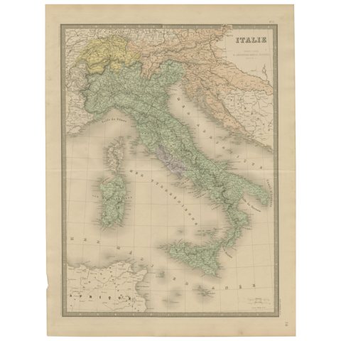 Antique Map of Italy – Pre-Unification Italy by Andriveau-Goujon, Paris 1861
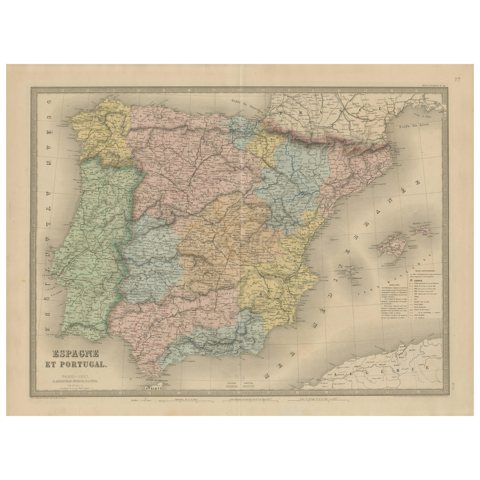 Spain & Portugal Map – Antique 1867 Engraving by Andriveau-Goujon, Paris
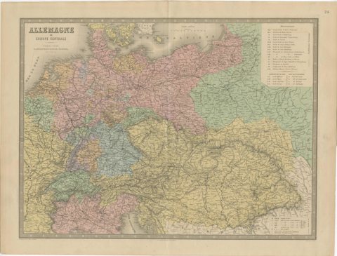 Germany & Central Europe – Antique 1865 Map by Andriveau-Goujon, Paris
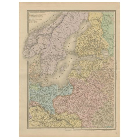 Antique Map of Scandinavia and the Baltic – Andriveau-Goujon, circa 1860s
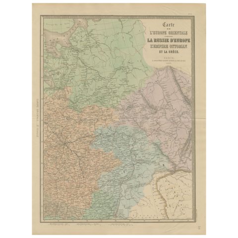 Antique Map of Eastern Europe – Russia, Ottoman Empire & Greece, 1868
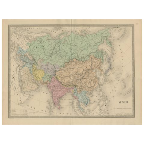 Antique Asia Map – Large 19th-Century Engraving with Political Boundaries, 1865
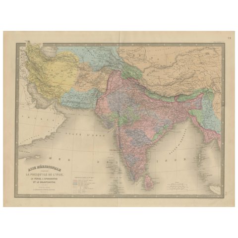 Antique Map of India, Persia & Afghanistan – Detailed Continental Engraving 1864
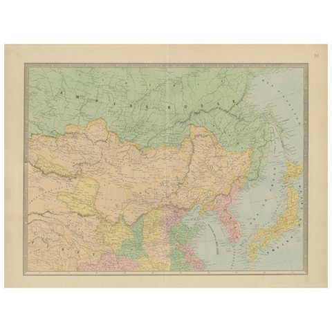 Antique Map of China, Japan & Korea – Eastern Asia by Andriveau-Goujon, 1860
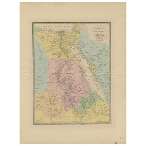 Egypt & Red Sea Antique Map – Detailed 1865 Chart of Nubia and Nile Regions
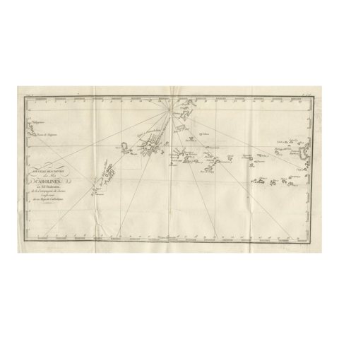 Antique Map of the Caroline Islands – Early Exploration of the Pacific, c.1760
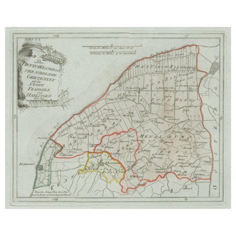 Antique Map of Franeker and Harlingen, Friesland by von Reilly, 1791
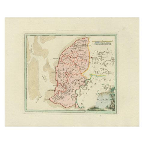 Antique Map of Southern Westergo, Friesland by von Reilly, 1791
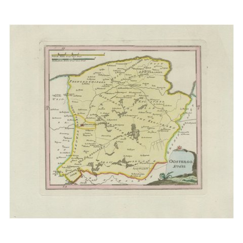 Antique Map of Oostergo, Friesland by von Reilly, 1791
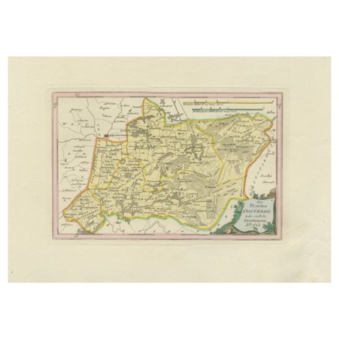 Antique Map of Eastern Oostergo, Friesland by von Reilly, 1791
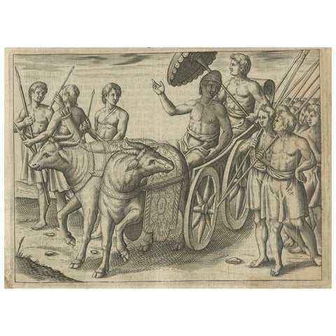 Earliest Depiction of Bali, Dutch Engraving of the King of Bali, c.1601
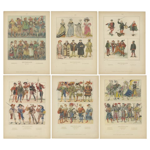 German Renaissance & Landsknecht Costumes 1500s – Set of 6 Antique Prints, 1880
Sharing the sale? Download the Black Friday banners.