About this sheet
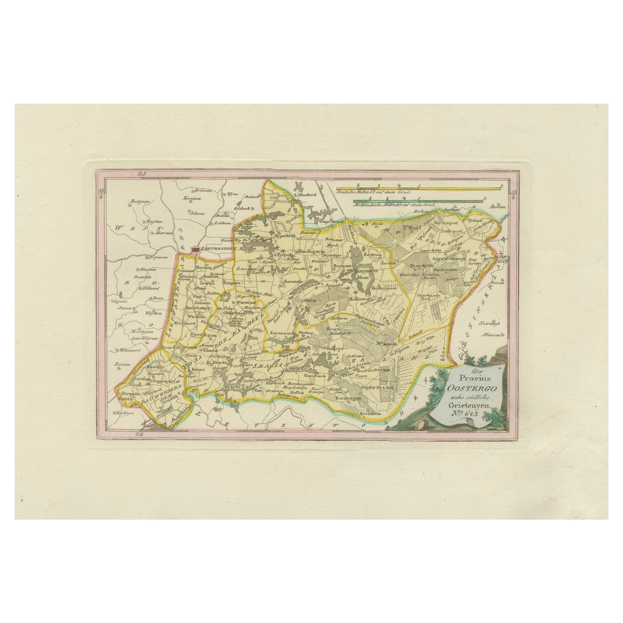
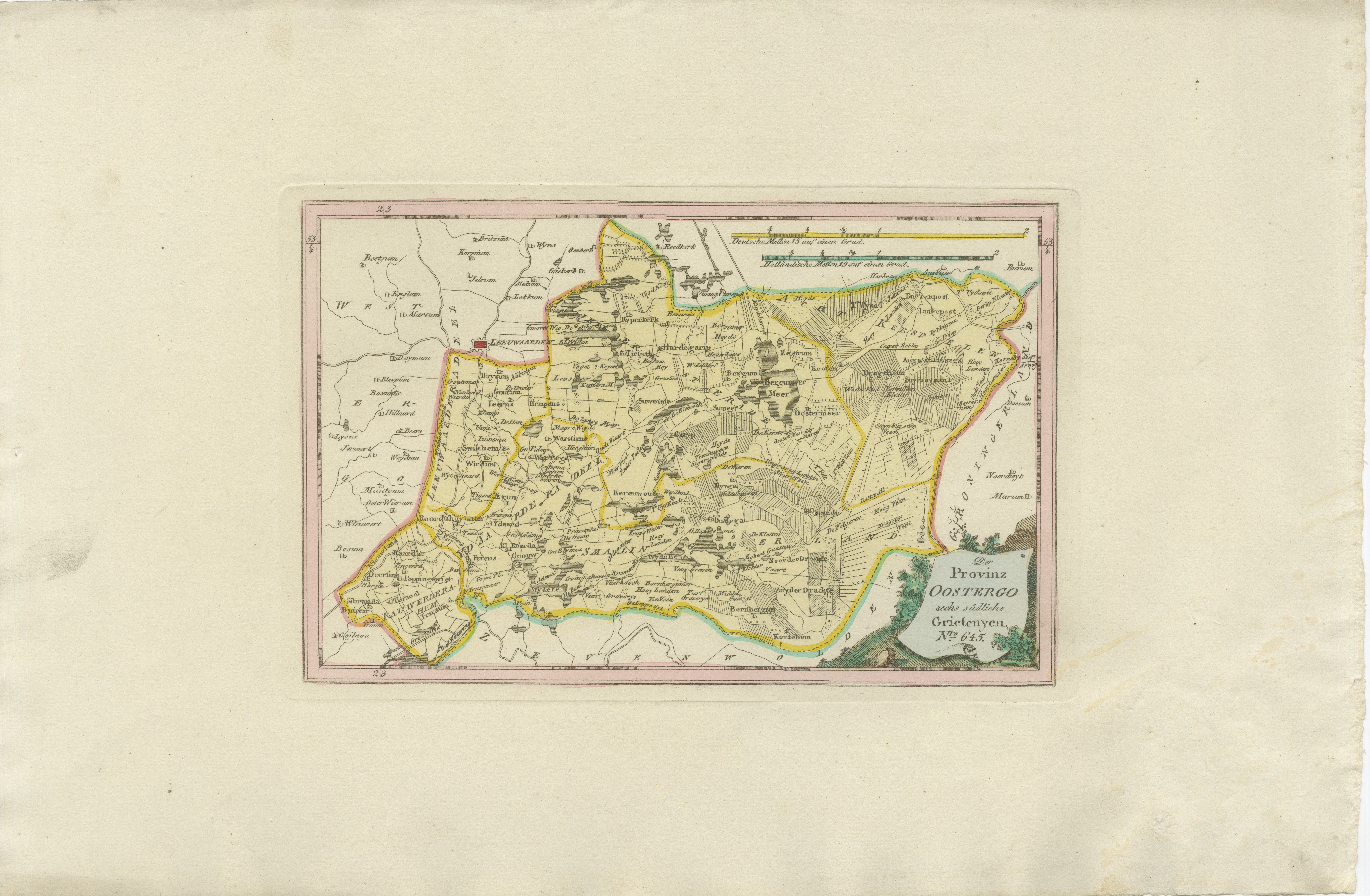
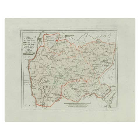
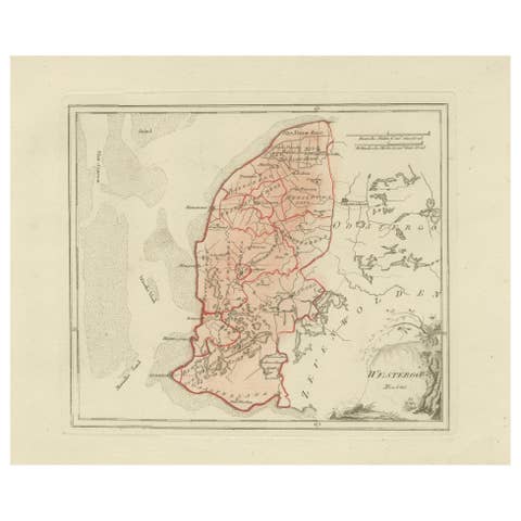
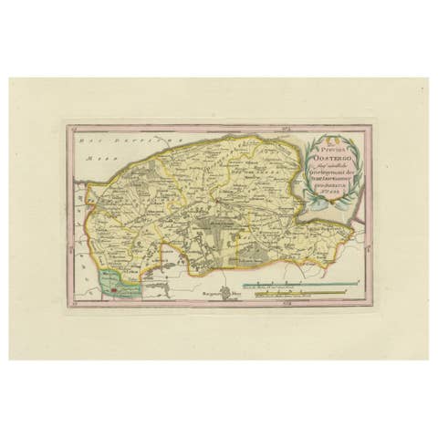
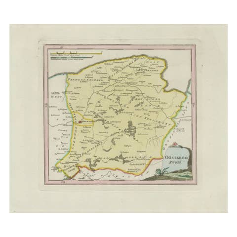
Antique Map of Eastern Oostergo, Friesland by von Reilly, 1791
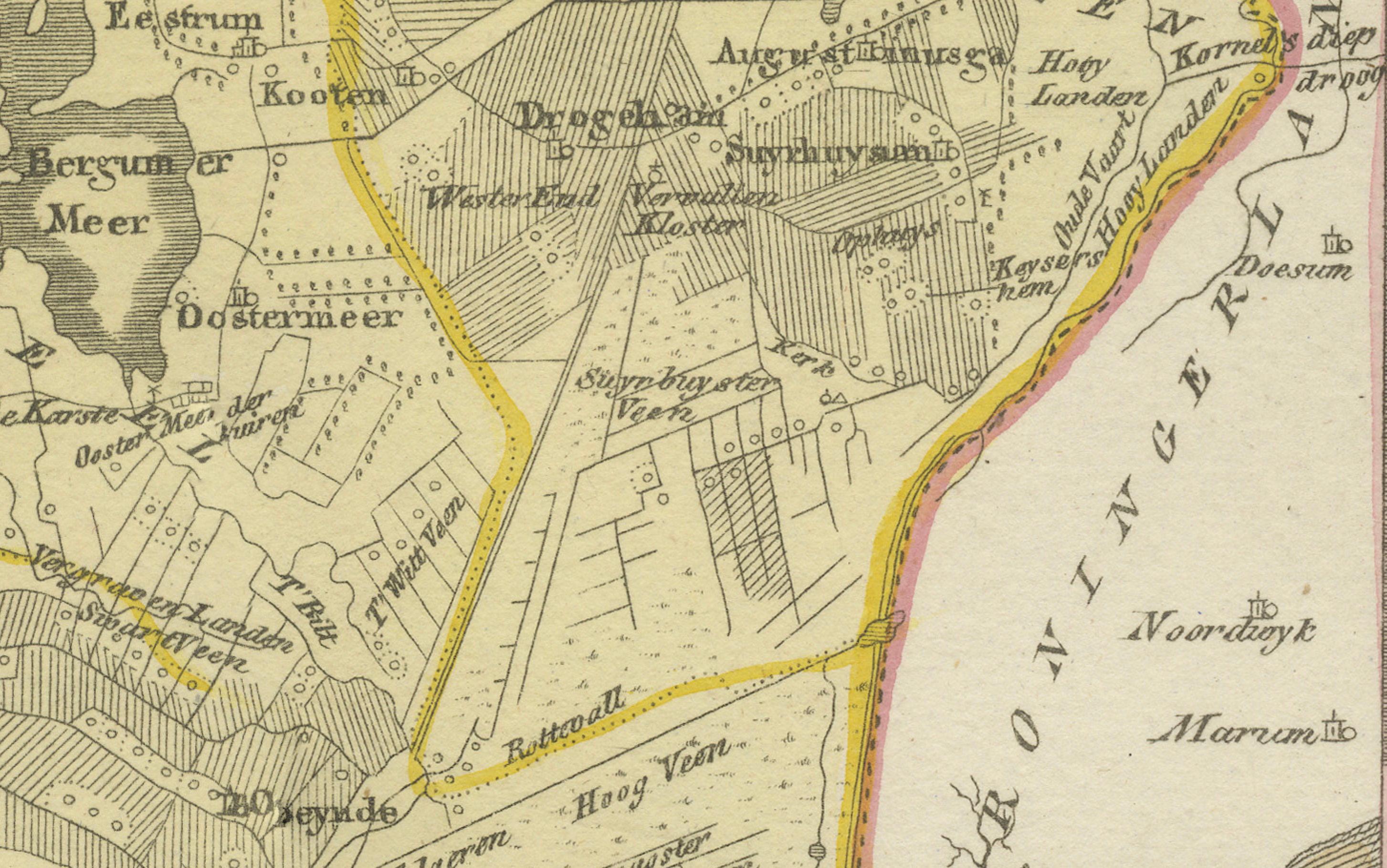
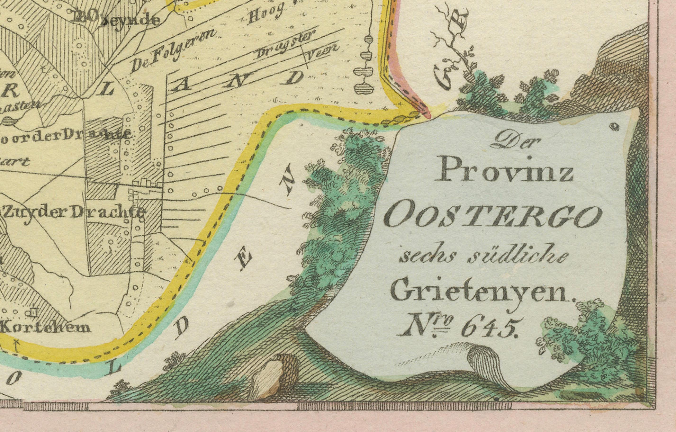
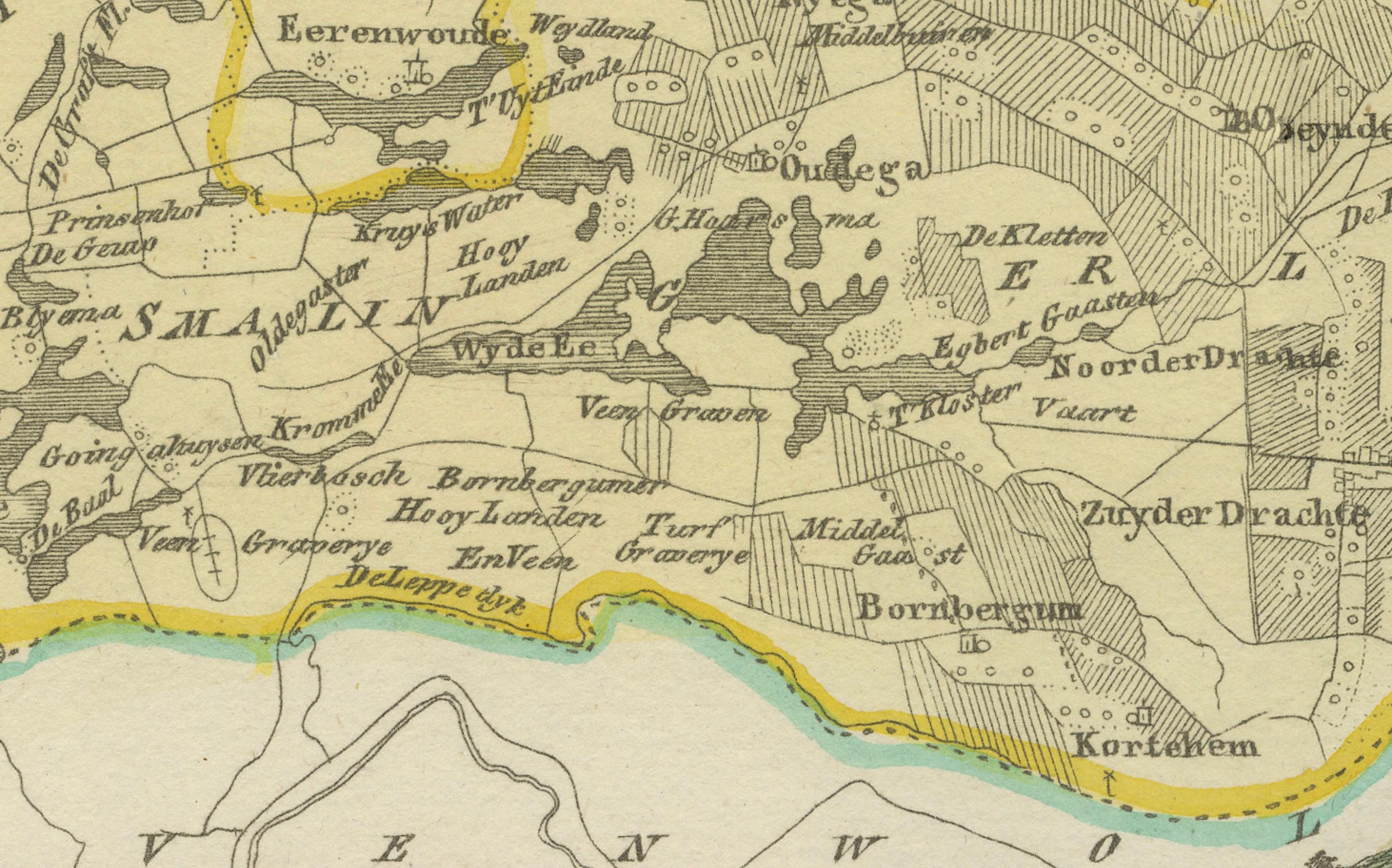
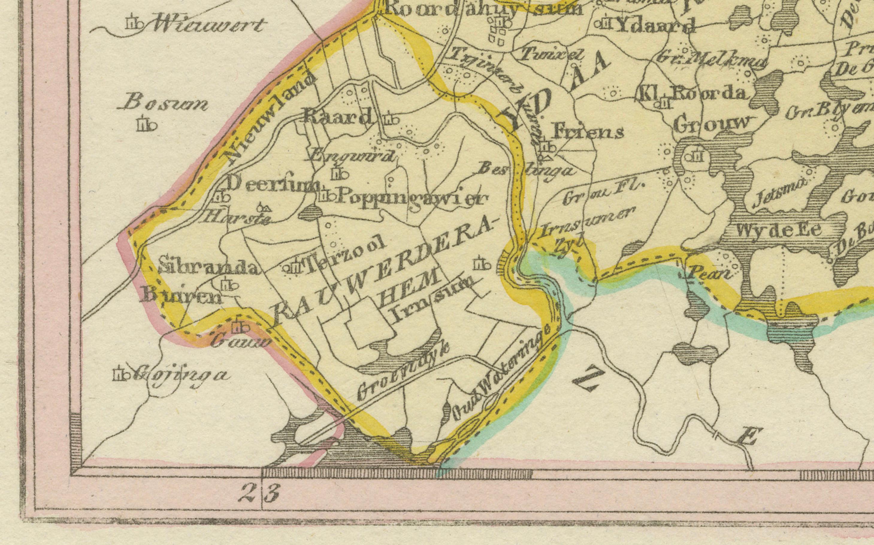
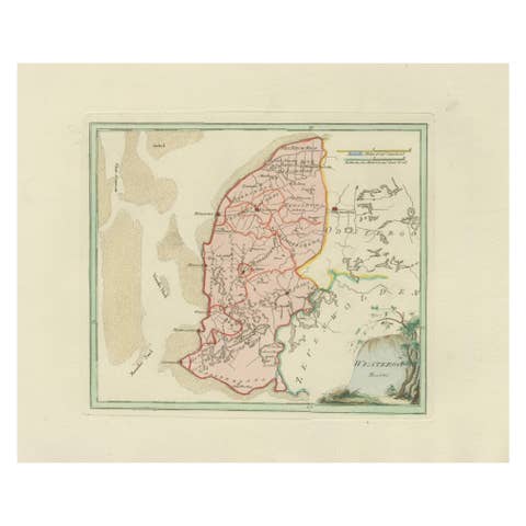
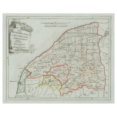
Original engraved map titled Der Provinz Oostergo sechs östliche Grietenyen No. 643, published in Vienna in 1791. This map shows the eastern districts of Oostergo in Friesland, with numerous villages, towns, waterways, and agricultural lands carefully engraved and highlighted with original hand coloring. The sheet is from Franz Joseph Johann von Reilly’s atlas Schauplatz der fünf Theile der Welt, engraved by Ignaz Alberti in Vienna, 1791.
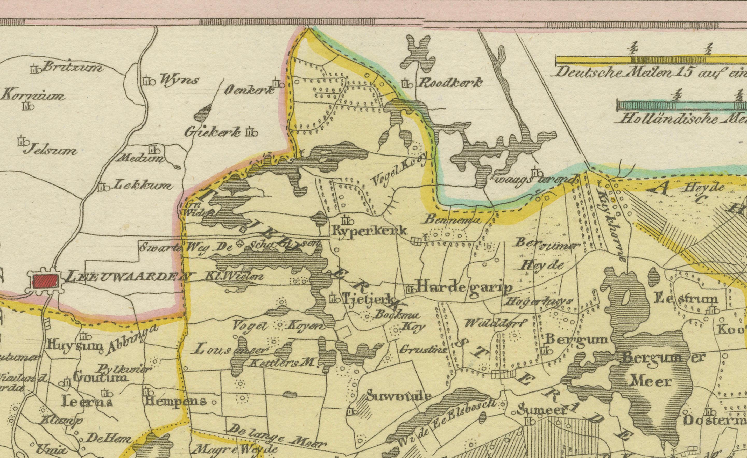
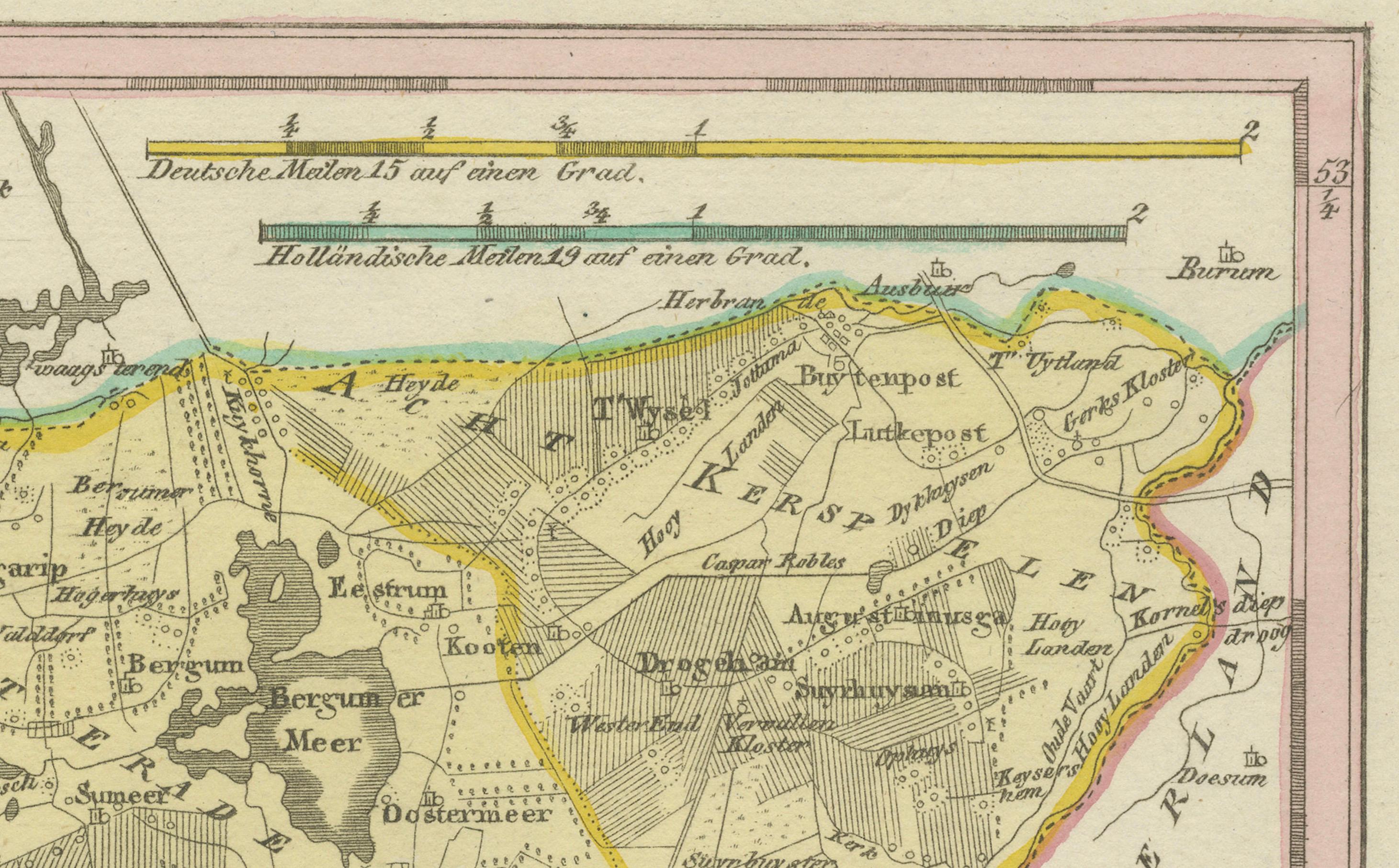
Major settlements depicted include Kollum, Buitenpost, Augustinusga, Drogeham, Harkema, Twijzel, Twijzelerheide, Westergeest, Oudwoude, Burum, Lutjegast (just over the border in Groningen), Gerkesklooster, Stroobos, and Surhuizum. Smaller villages and parishes noted include Veenwouden (Feanwâlden), Kooten (Koatstertille area), Zwagerveen, Kuikhorne, Drogeham, Dantumawoude, Damwoude, Rinsumageest, Driesum, Broeksterwoude, Murmerwoude, Ee, Wetsens, and Engwierum. The map also shows waterways such as the Dokkumer Ee, polder divisions, and extensive reclaimed farmland.
This map offers a snapshot of the landscape of eastern Friesland at the close of the 18th century, when the area was shaped by agriculture, waterways, and local administration through grietenijen (districts). Its wealth of place names makes it particularly valuable for regional historians and genealogists.
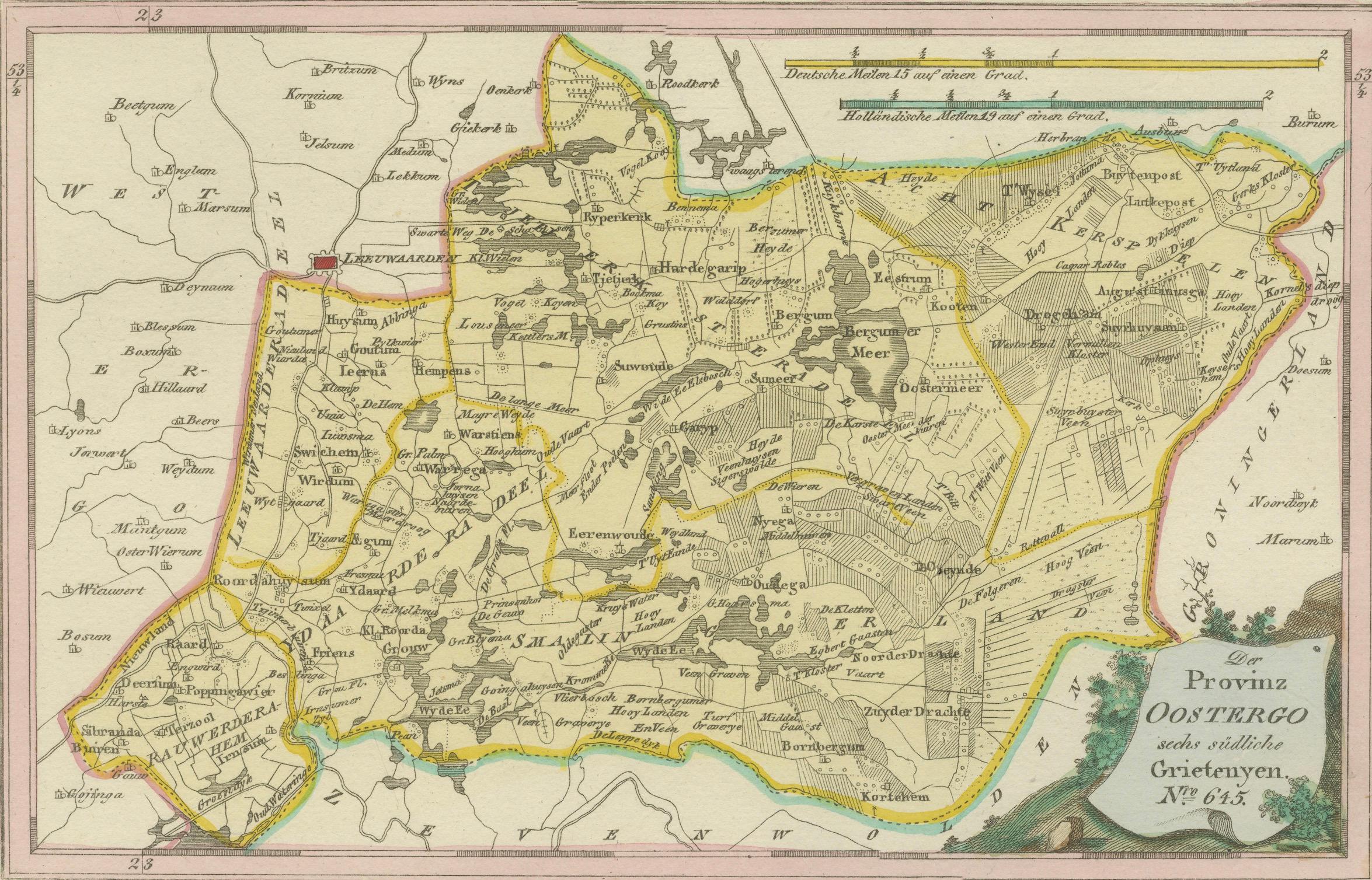
The title cartouche in the lower right corner is framed with foliage, a characteristic design element of von Reilly’s atlas. With fine engraving and original hand color, the sheet is both a decorative and historical document of Friesland.
Condition report: Very good condition with light age toning. A small marginal water stain at the right edge, outside the printed area. Original hand coloring preserved. Blank verso.
Framing tips: A dark wood or ebonized frame with a cream or ivory mat will highlight the engraved detail and coloring. A thin green or ochre inner line can enhance the tones of the boundary coloring and the cartouche.
Technique: Engraving with original hand color
Maker: Franz Joseph Johann von Reilly, engraved by Ignaz Alberti, Vienna, 1791