About this sheet
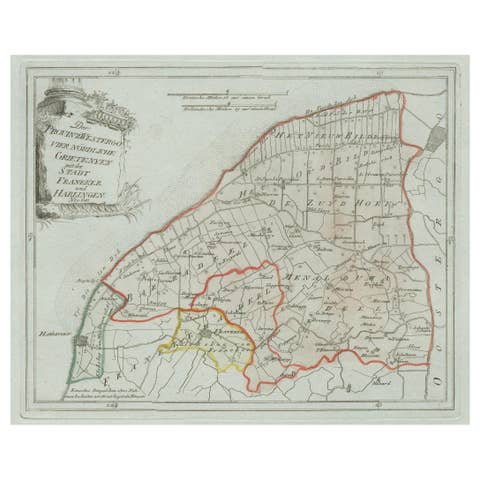
Antique Map of Southern Westergo, Friesland by von Reilly, 1791
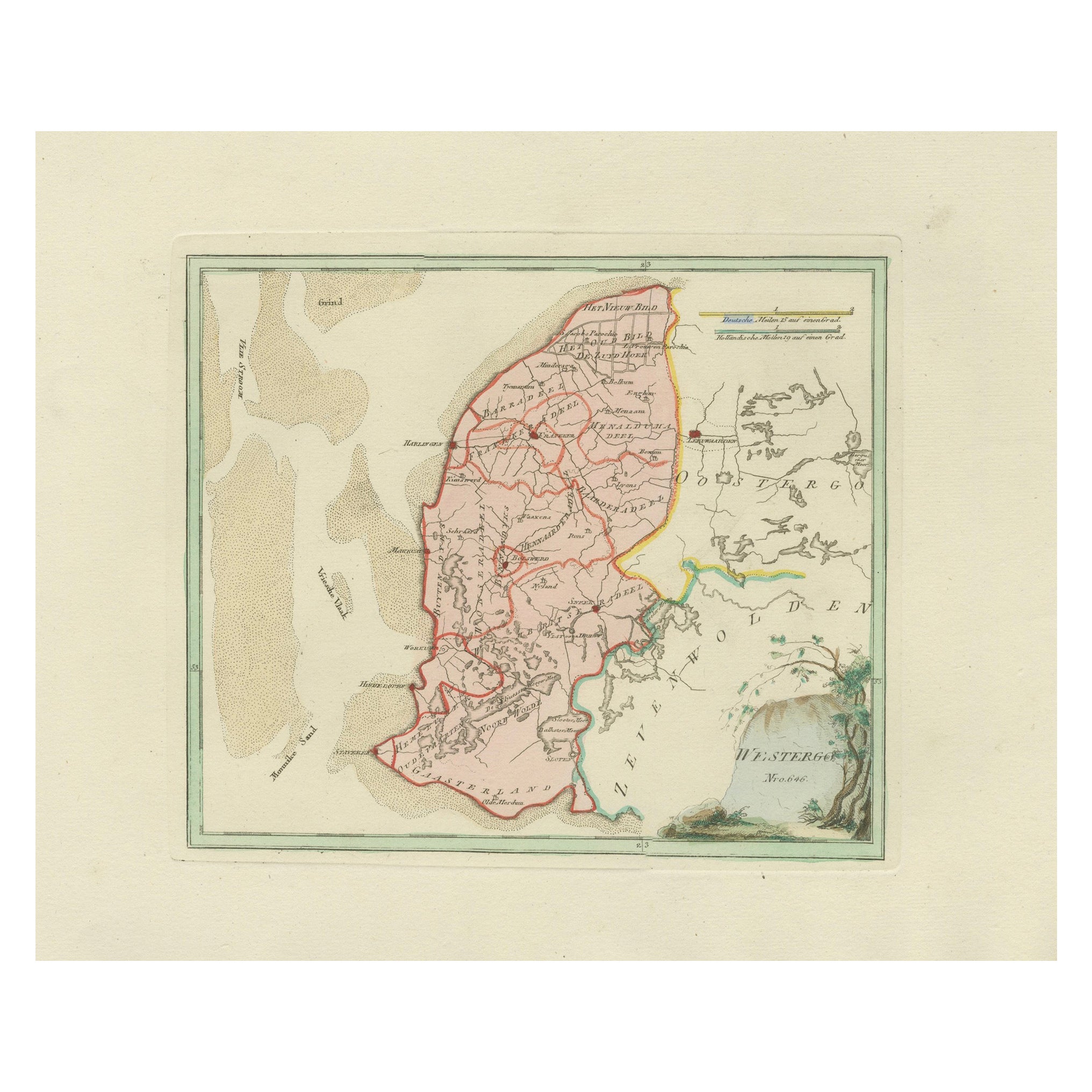
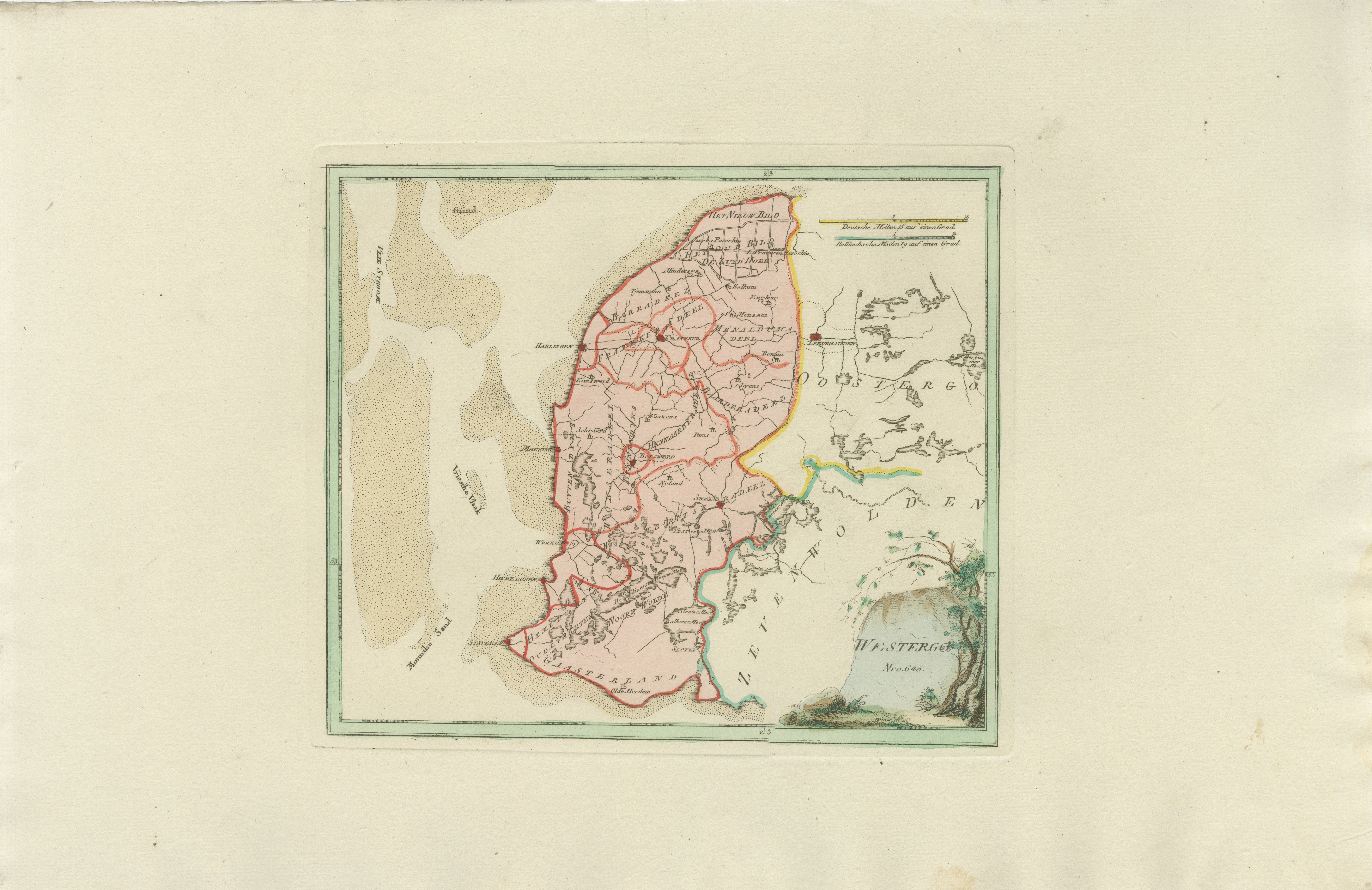
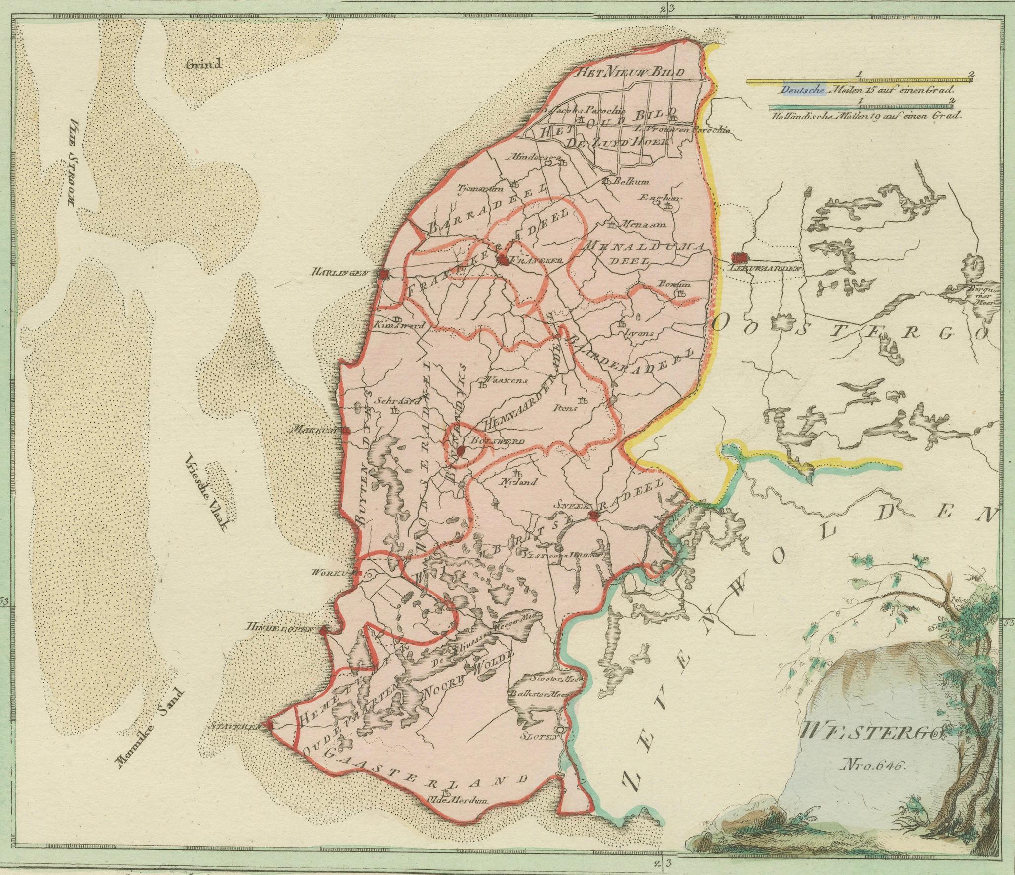
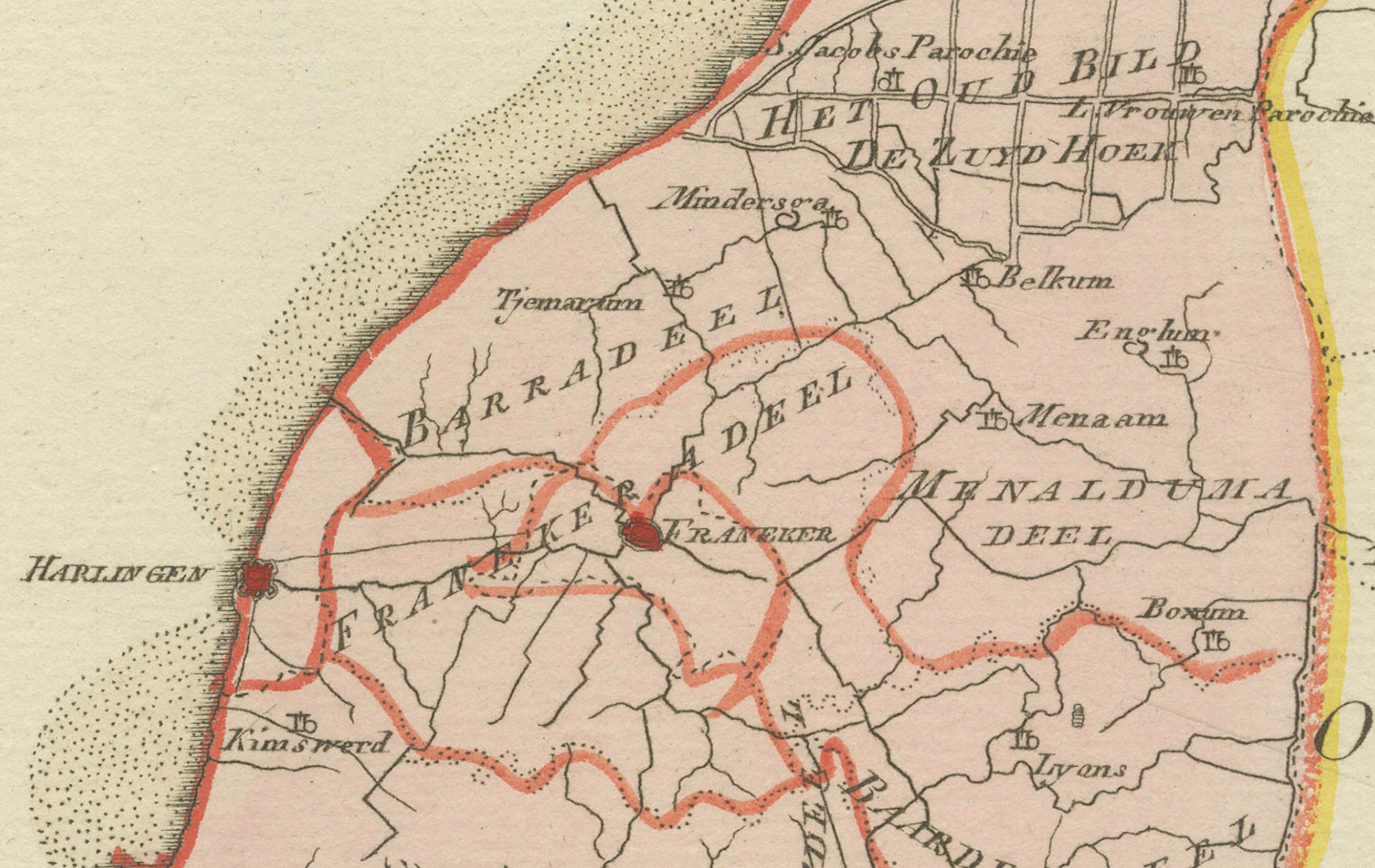
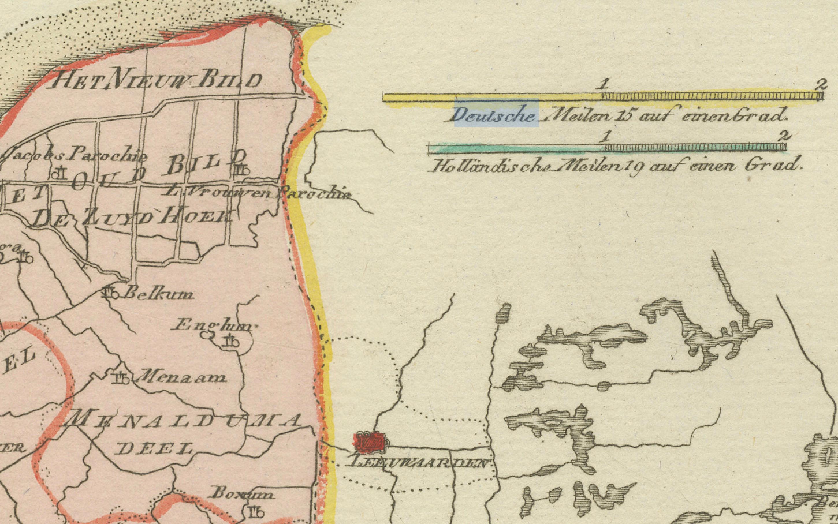
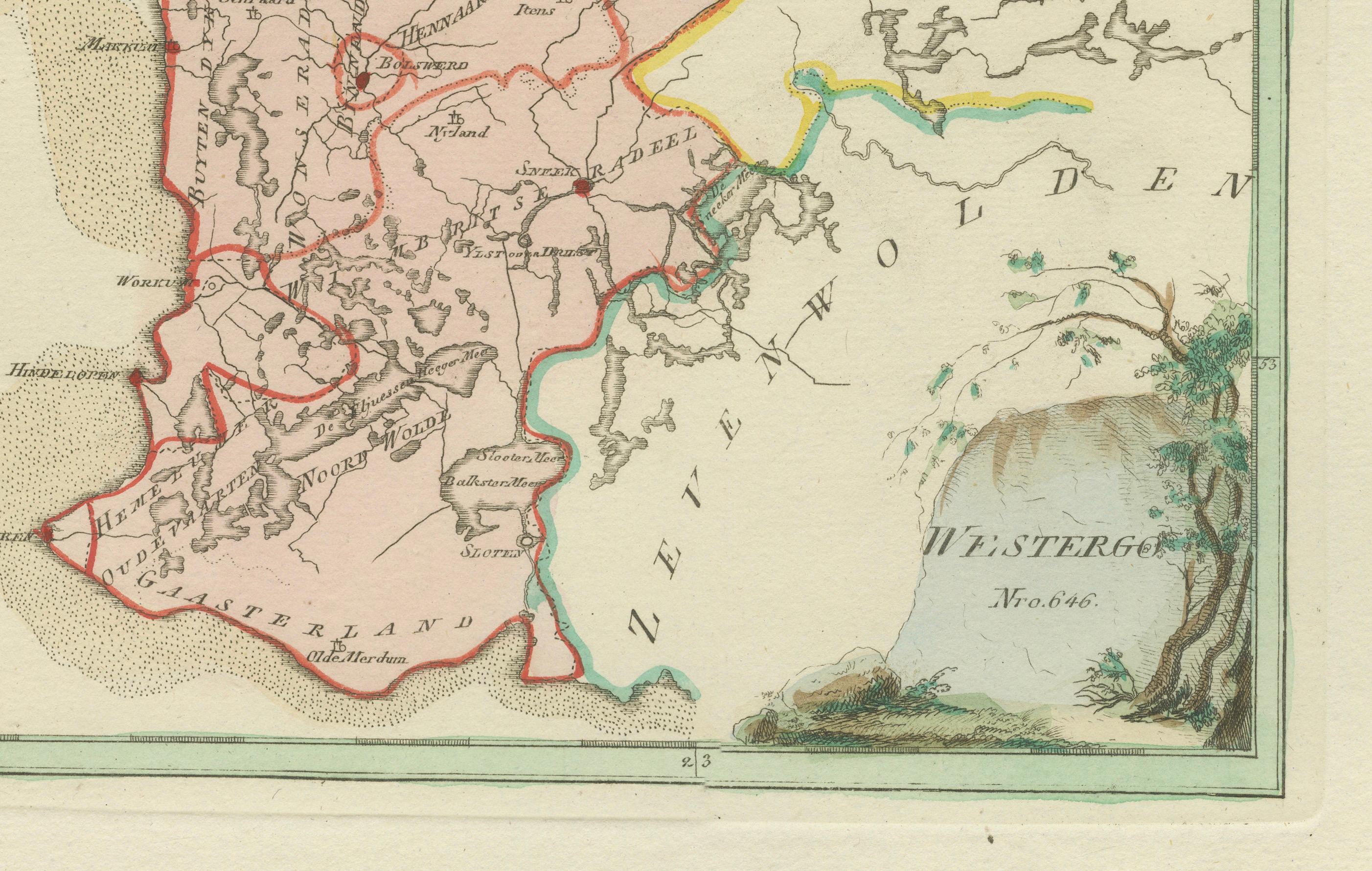
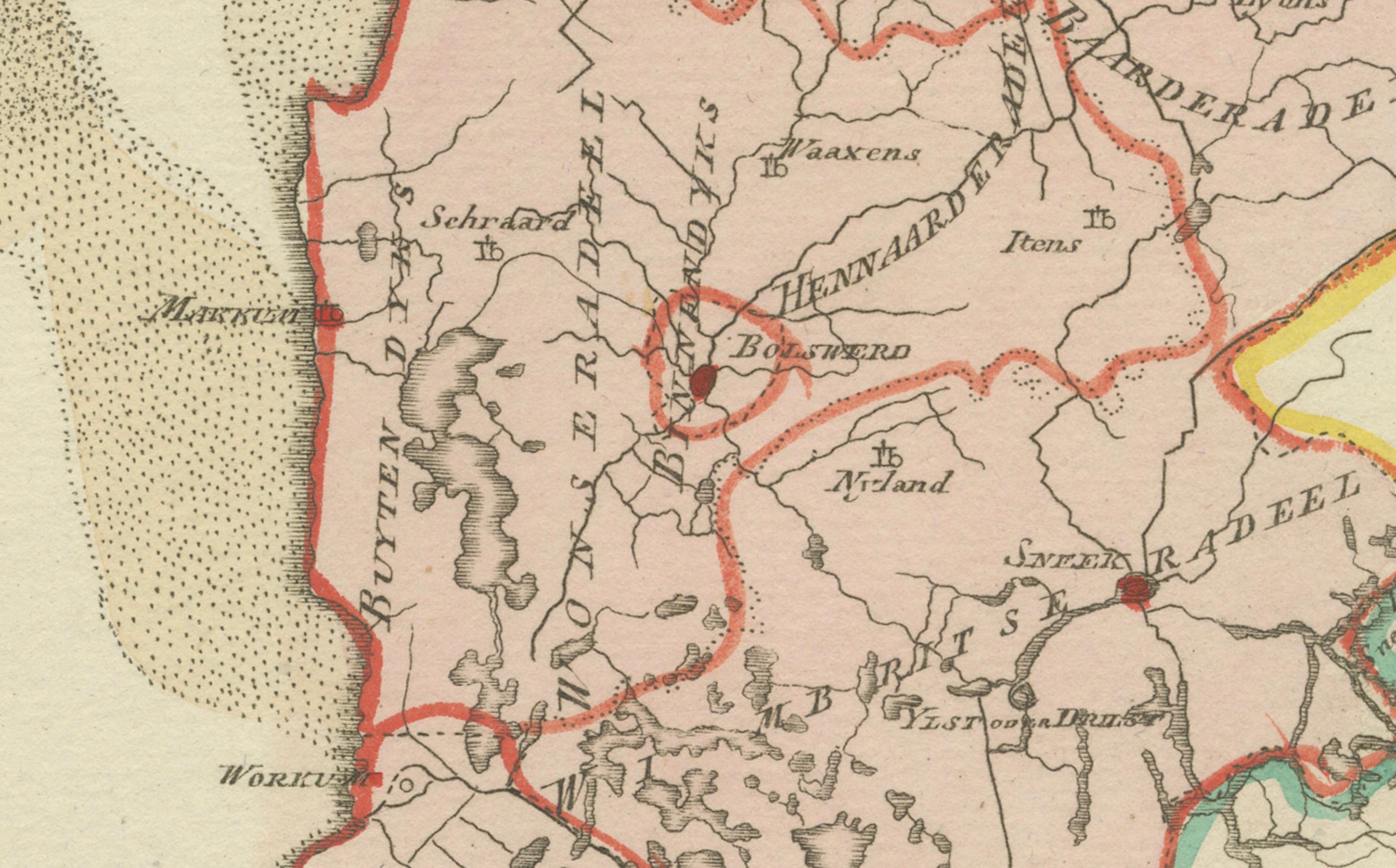
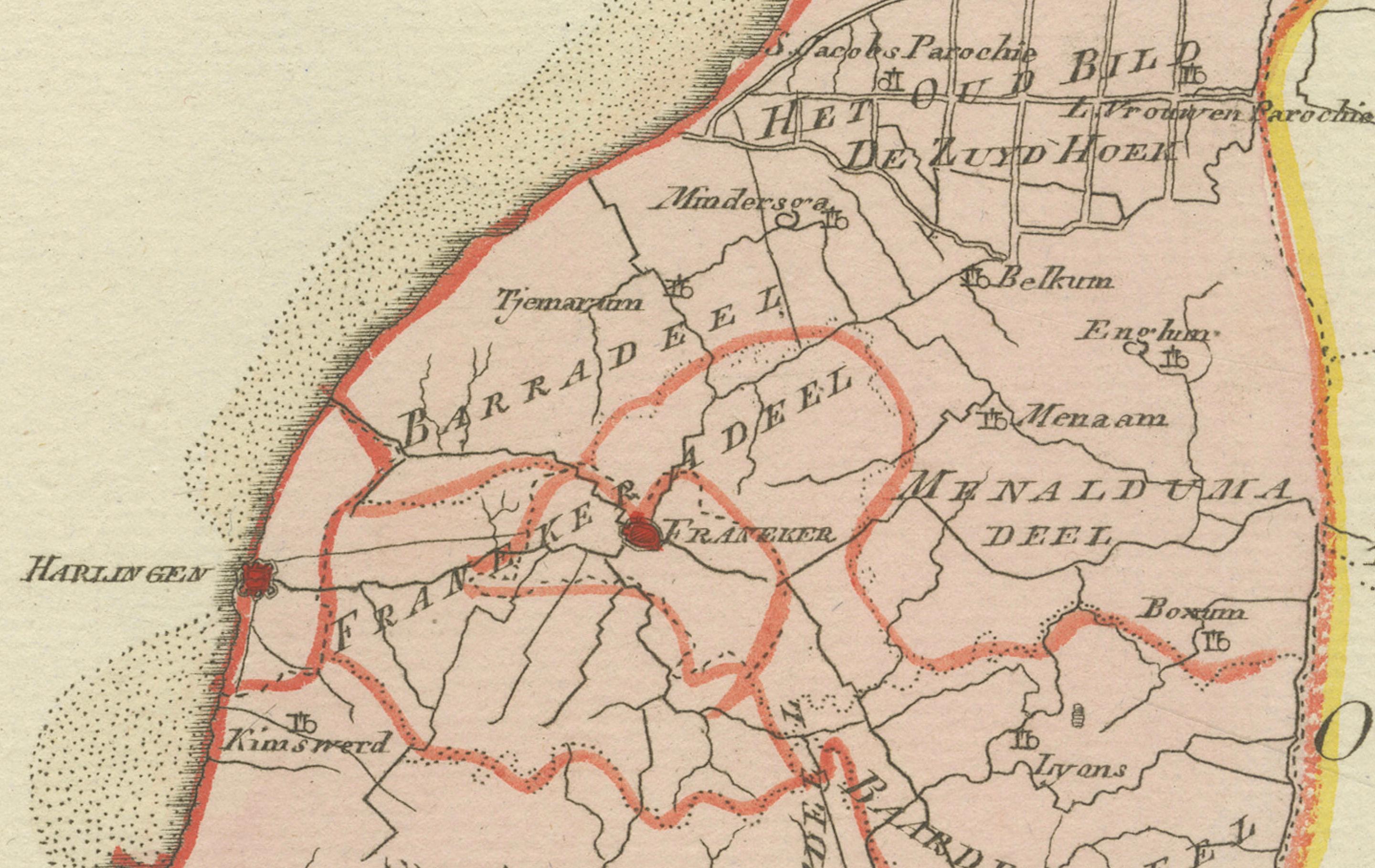
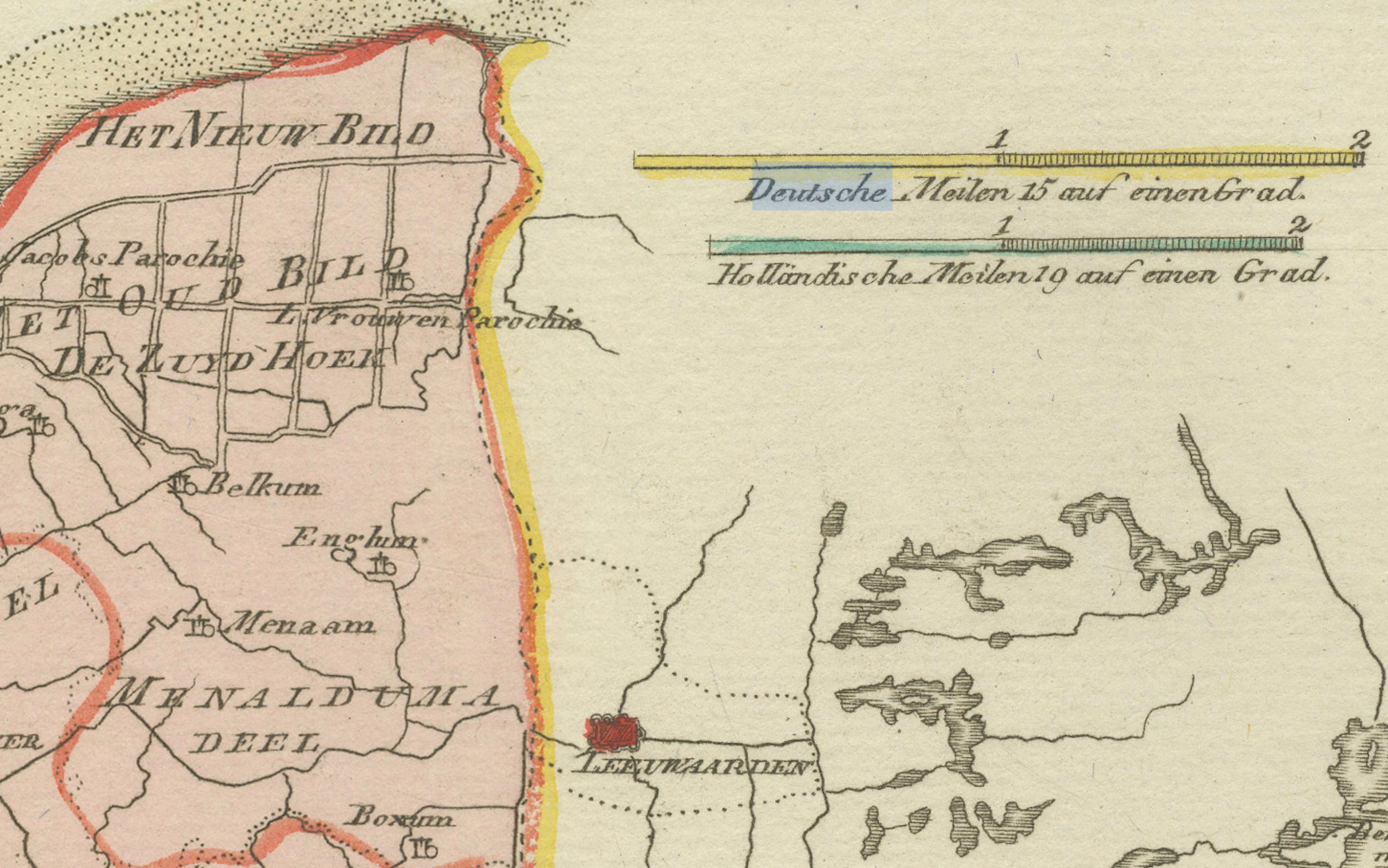
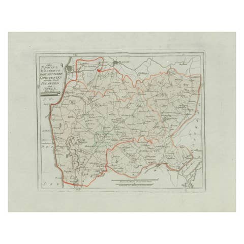
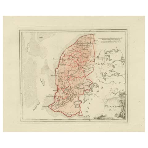
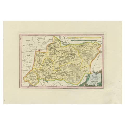
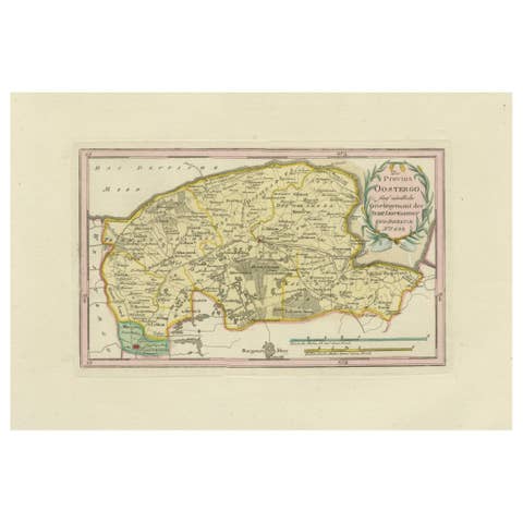
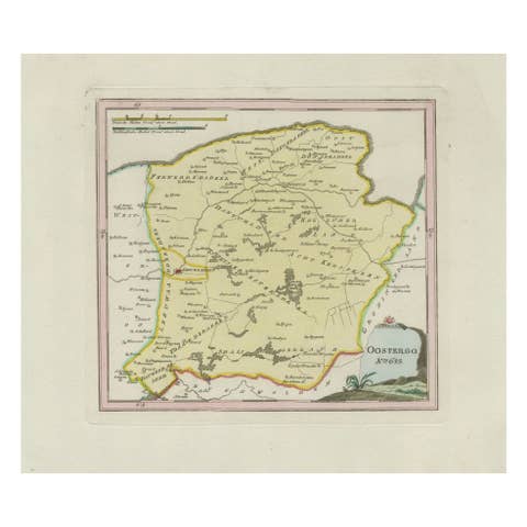
Original engraved map titled Westergoo Norde, published in Vienna in 1791. This sheet depicts the southern and coastal districts of Westergo in Friesland, one of the most historic regions of the province. It shows the Zuiderzee (now IJsselmeer) to the west and numerous Frisian towns, villages, and waterways inland.
Prominent towns include Bolsward, Sneek (Snits), Workum, Hindeloopen, and IJlst, along with smaller settlements such as Makkum, Witmarsum, Schraard, Parrega, Ferwoude, Koudum, Molkwerum, and Exmorra. The map highlights the region’s maritime character, with Harlingen and the Wadden Sea islands just to the north, and depicts the intricate polder system that shaped Friesland’s agricultural and economic life.
This map was issued as part of Franz Joseph Johann von Reilly’s *Schauplatz der fünf Theile der Welt* (“Showplace of the Five Parts of the World”), one of the first Austrian atlas projects with global ambitions. Von Reilly (1766–1820) was a Viennese publisher and art dealer who became one of the most important Austrian cartographers of the late 18th century. The engraving was executed by Ignaz Alberti (1760–1794), an Austrian engraver known for his precise and elegant linework.
The decorative cartouche in the lower right corner frames the map’s title with naturalistic motifs. With its detailed depiction of Friesland’s coastal towns and waterways, the sheet provides a valuable record of a region long tied to seafaring, trade, and rural prosperity.
Condition report: Very good impression with light overall toning. Minor marginal age marks, well outside the printed area. Original hand coloring preserved. Blank verso.
Framing tips: A dark wood or gilt frame with a cream mount will emphasize the soft hand coloring and fine engraving. A double mat with a thin blue or green line can echo the coastal tones and highlight the decorative cartouche.
Technique: Engraving with original hand color
Maker: Franz Joseph Johann von Reilly, engraved by Ignaz Alberti, Vienna, 1791