About this sheet
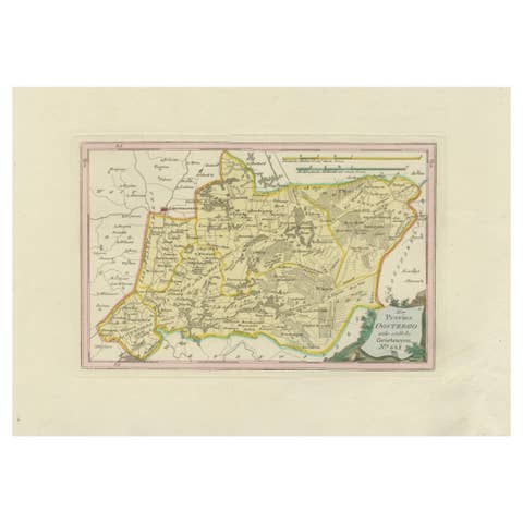
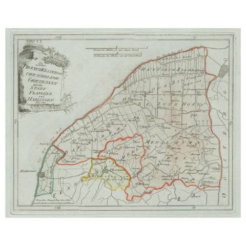
Antique Map of Oostergo, Friesland by von Reilly, 1791
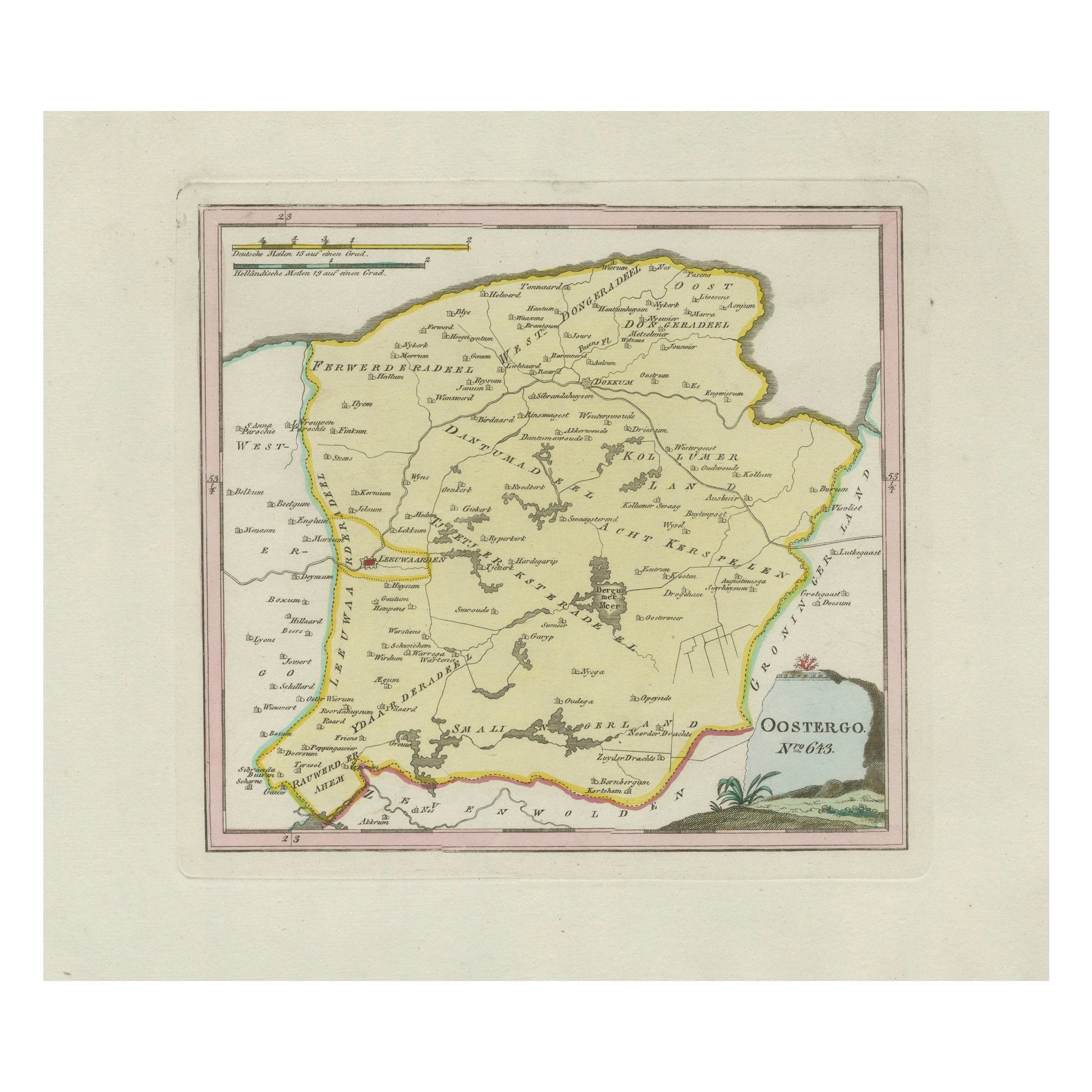
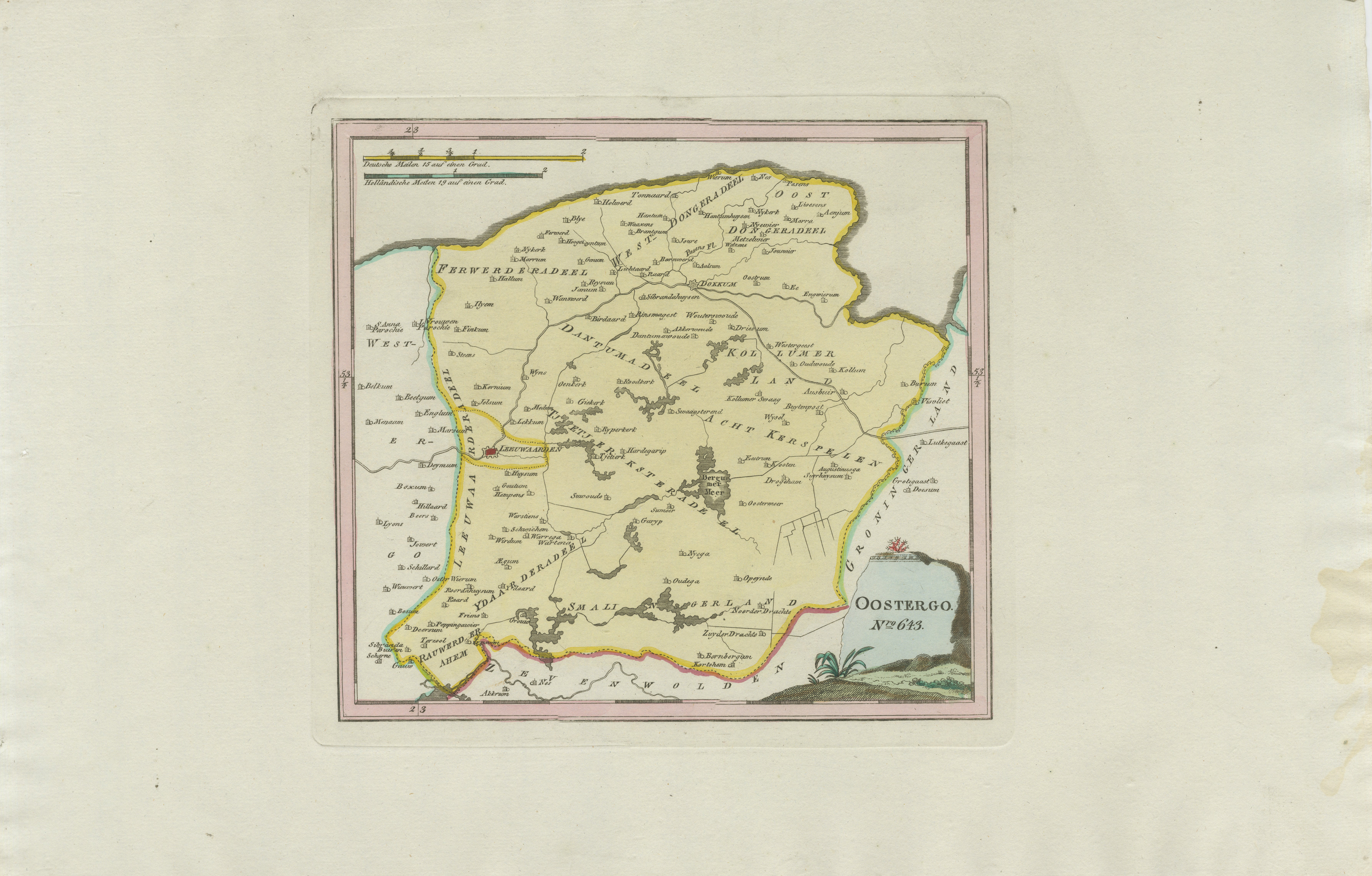
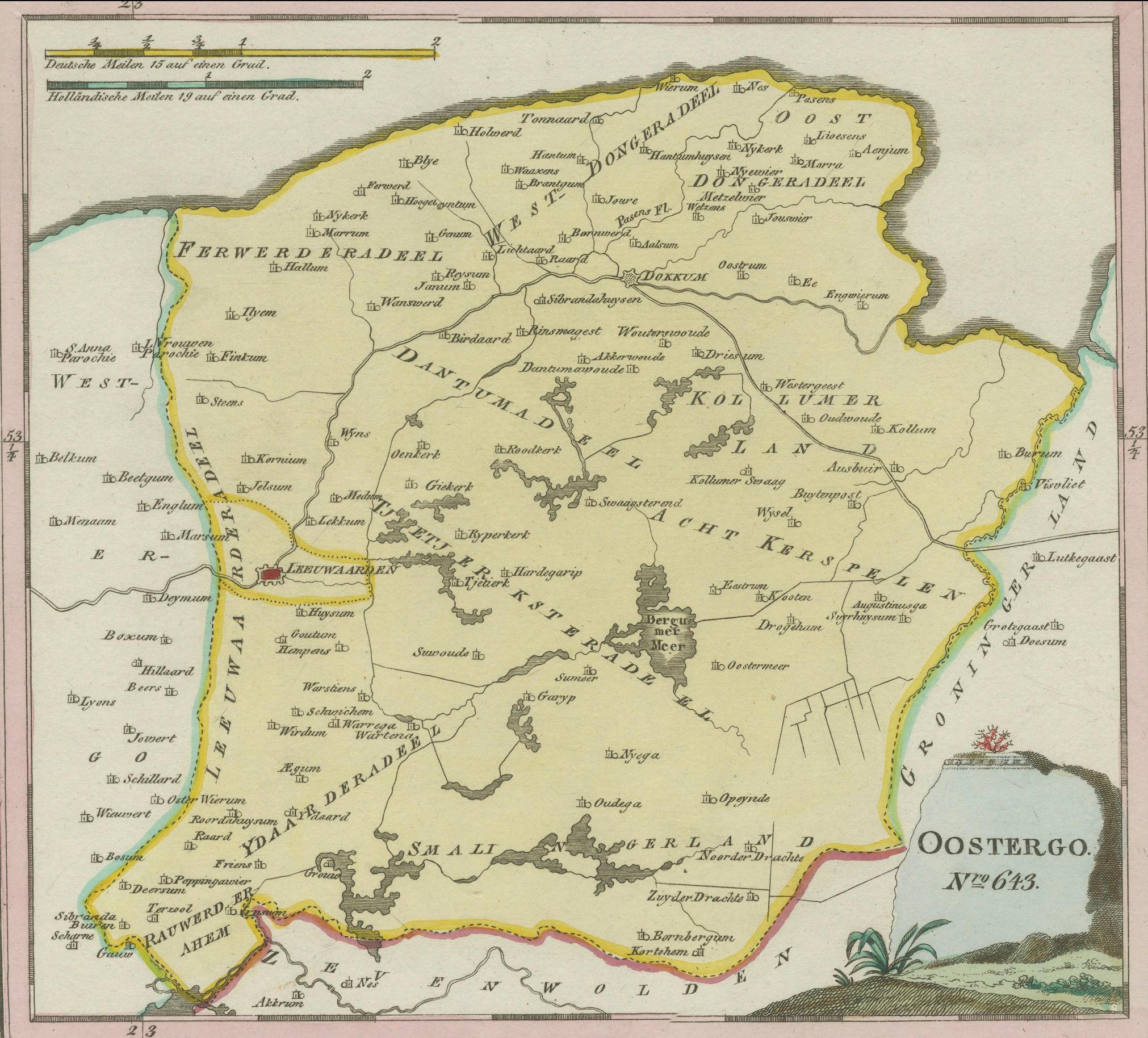
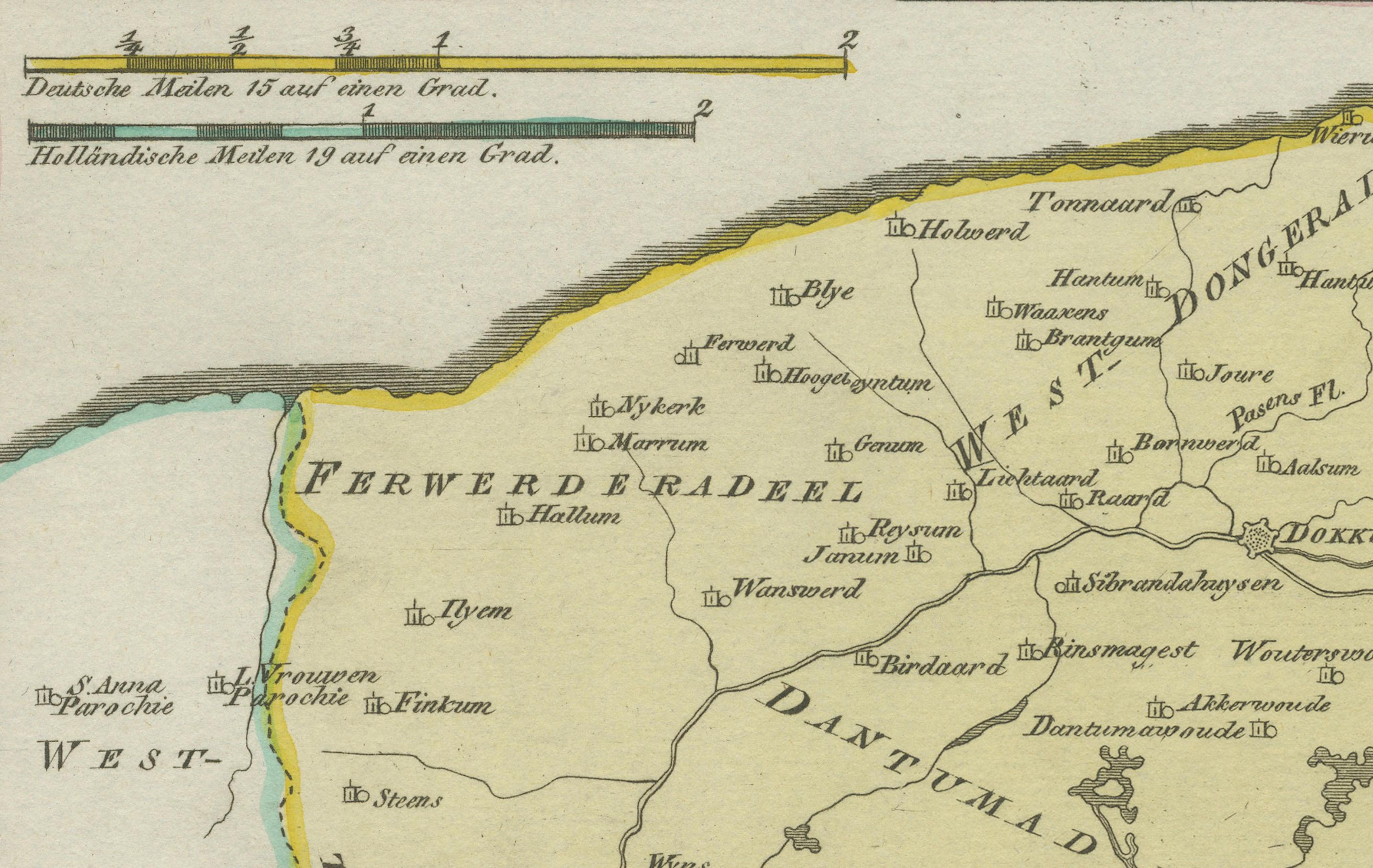
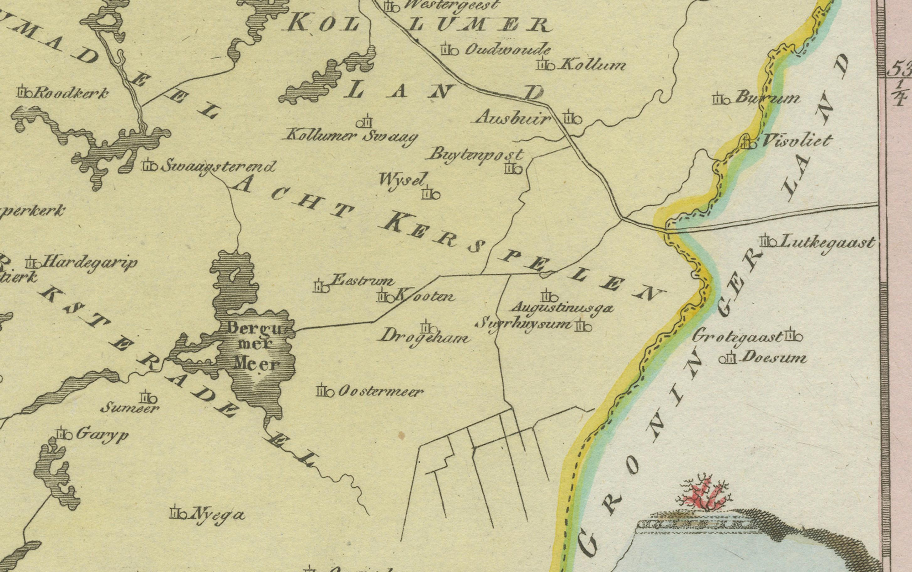
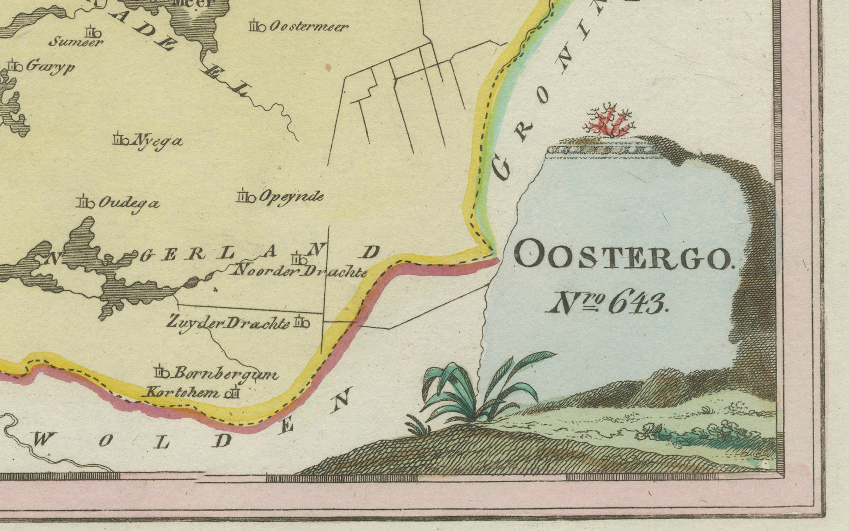
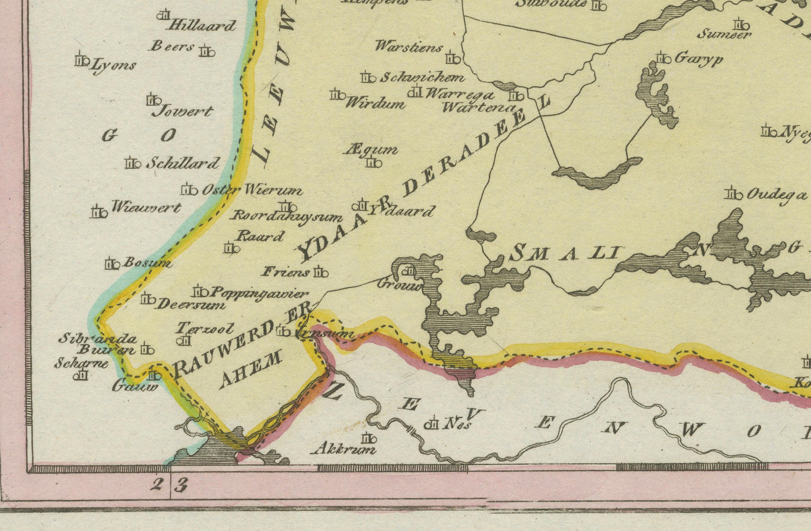
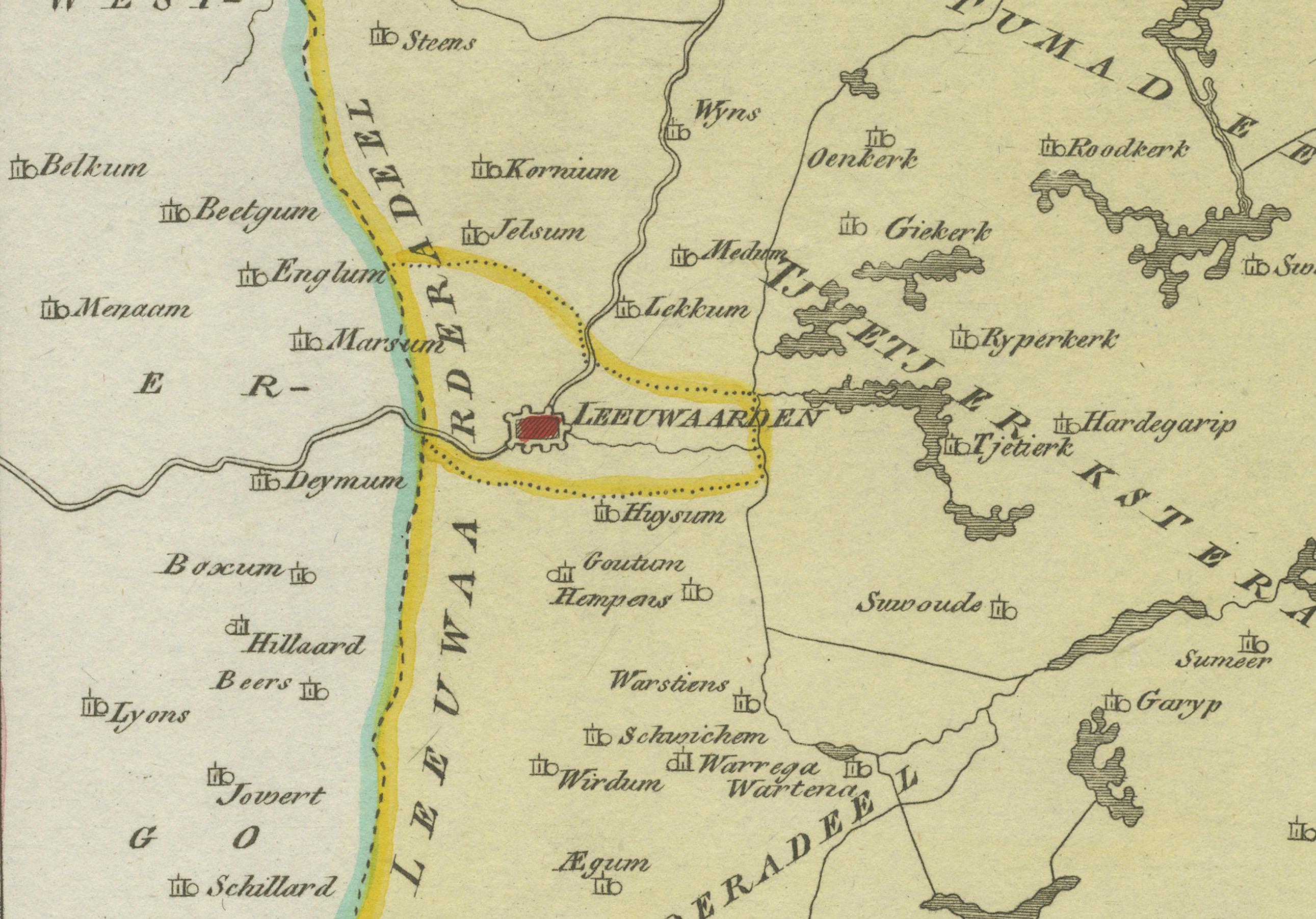
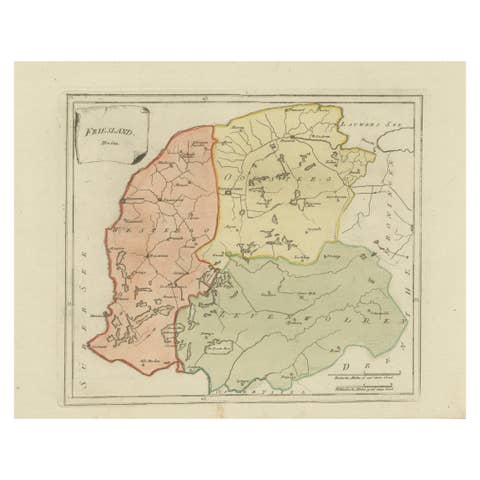
Original engraved map titled 'Oostergo No. 643', published in Vienna in 1791. This map depicts the historic region of Oostergo in Friesland, bounded by the Lauwerszee to the north and the Groningen border to the east. It shows in fine detail the rural districts (grietenijen), towns, villages, and waterways that defined the region at the end of the 18th century.
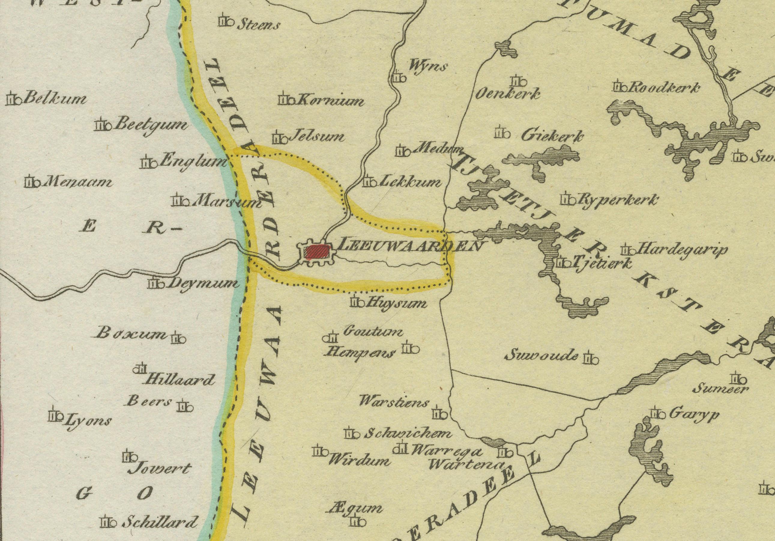
The map highlights Dokkum, the old fortified town famous as the place where Saint Boniface was martyred in 754. Other important places marked include Kollum, Buitenpost, Ferwerd, Holwerd, Ee, Metslawier, Anjum, Engwierum, Oostrum, Jislum, Ternaard, and Wierum. The southern part of the map shows the approach to Leeuwarden, the provincial capital. District boundaries are outlined in original hand color, with a simple but elegant decorative cartouche in the lower right corner.
The engraving was produced for Franz Joseph Johann von Reilly’s Schauplatz der fünf Theile der Welt (“Showplace of the Five Parts of the World”), one of the first comprehensive Austrian atlas projects. Von Reilly (1766–1820), a Viennese publisher and art dealer, sought to bring together accurate geography with appealing design. The plate was engraved by Ignaz Alberti (1760–1794), whose fine linework gave clarity and elegance to the series.
This map offers a fascinating record of Friesland’s northeastern territories, rich in waterways and agricultural land. It is particularly valuable to collectors interested in Frisian history, Dutch provincial cartography, and Austrian atlas production of the late Enlightenment period.
Condition report: Very good condition with light age toning. Small marginal water stain at lower right, outside the printed area. Original hand coloring intact. Blank verso.
Framing tips: A gilt or dark wooden frame with a cream or ivory mat will highlight the fine detail and subtle hand coloring. For added depth, a thin green or ochre inner line in the mount can echo the tones of the map and cartouche.
Technique: Engraving with original hand color
Maker: Franz Joseph Johann von Reilly, engraved by Ignaz Alberti, Vienna, 1791