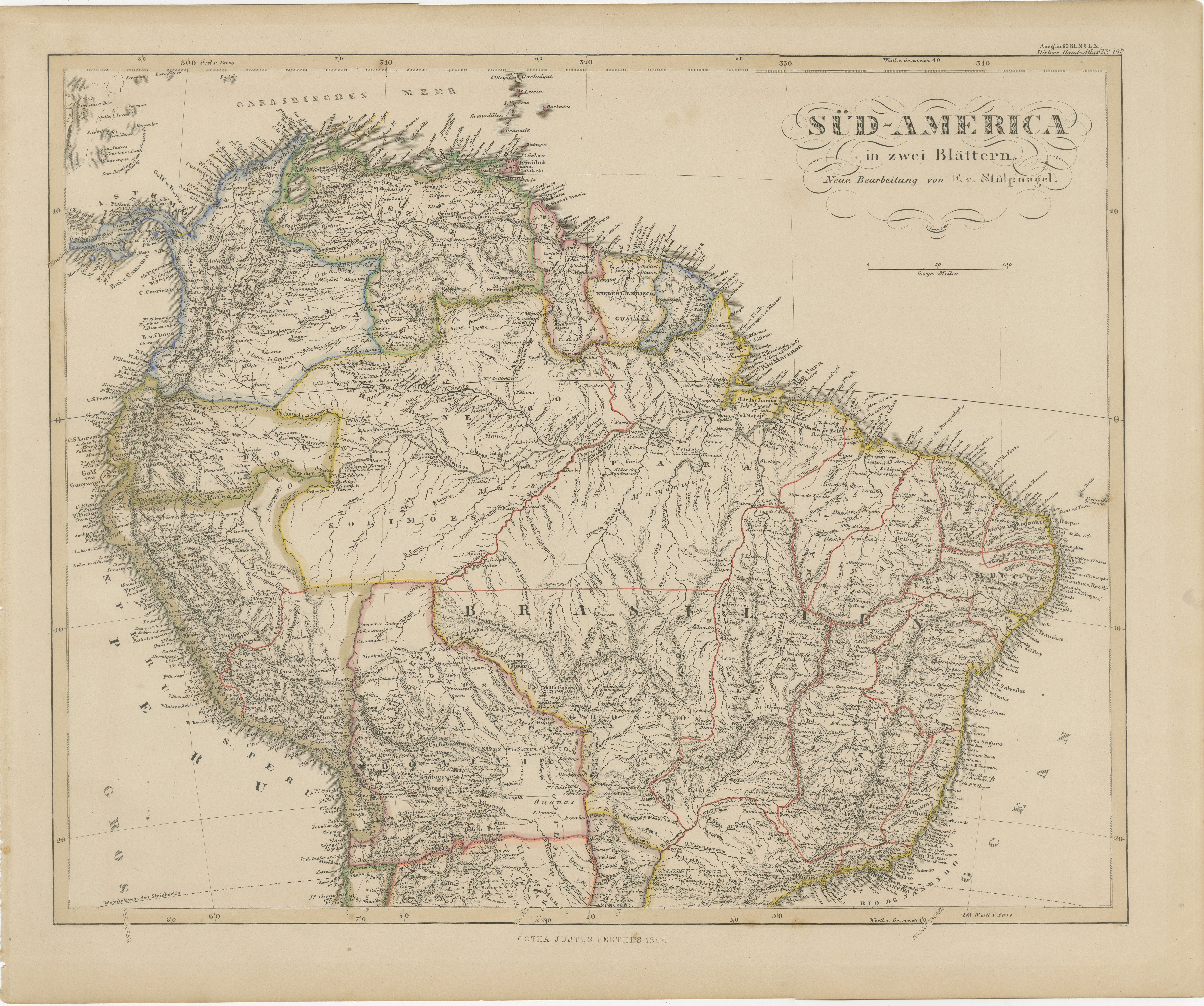
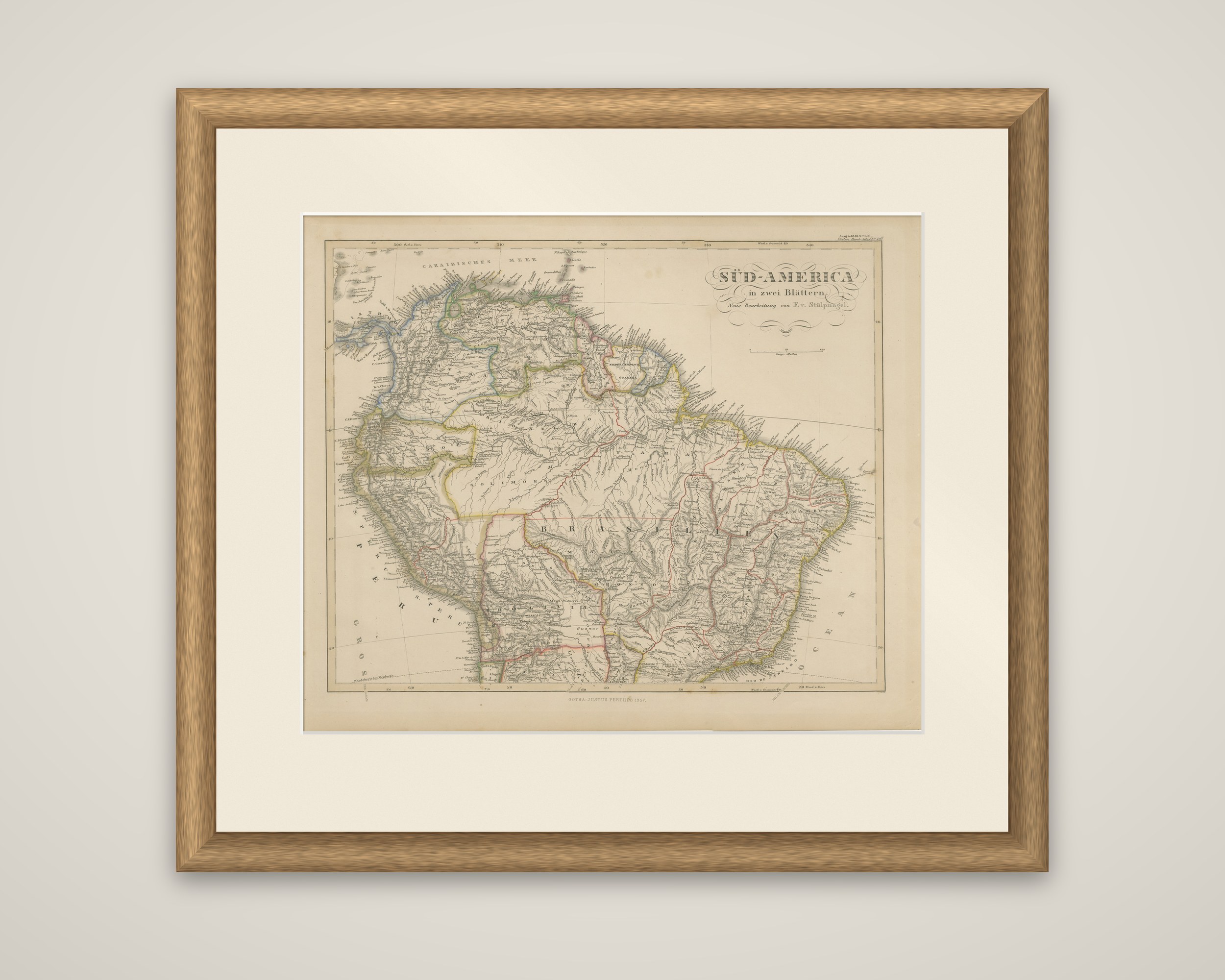
1857 Map of Northern South America – Brazil, Colombia, Peru by Stülpnagel
€ 390
Original antique · The actual sheet photographed · Certificate of authenticity on request · Sold unframed · Worldwide shipping from € 15 (rates)
Date
1857
Sheet size
37.5 × 45.4 cm (14.8 × 17.9 in)
Condition
Good
Reference
BG-05552-55
What the condition grades mean
Excellent
Bright and clean, with no faults worth mentioning.
Very good
Only light signs of age, such as faint toning.
Good
Normal signs of age for a sheet of this period: toning, some foxing, small marks or neat old repairs.
Fair
Clear faults such as staining, tears or repairs, priced to match.
Every fault we see is written in the condition note, and the whole sheet is shown uncropped in the photos.
Condition
Very good condition. Light age toning. Minor edge wear, not affecting image. No tears or restoration. Vibrant hand-coloring of political borders remains intact.
About this sheet
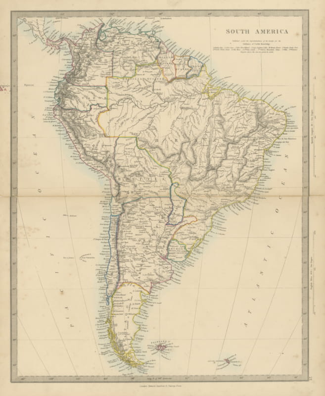
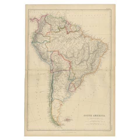
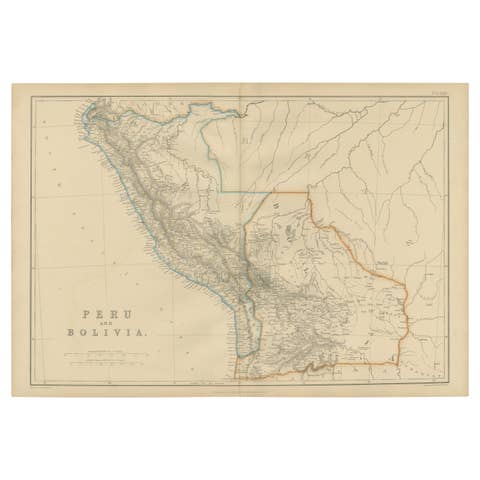
Northern South America in 1857, the upper sheet of a two-sheet map of the continent, an original copper engraving with hand-colored outlines. It is titled "Süd-America in zwei Blättern. Neue Bearbeitung von F. v. Stülpnagel" and was published in Gotha by Justus Perthes for Adolf Stieler's Hand-Atlas, with the imprint "Gotha: Justus Perthes 1857."
The sheet covers Venezuela, the Guianas, Colombia, Ecuador, Peru, Bolivia and the whole of Brazil, which fills the right half of the map and is lettered "Brasilien." The Amazon and its tributaries are drawn as a dense web across the interior, the Orinoco and Magdalena are traced, and the Andes are shown by hachuring along the Pacific side. Coastal towns, ports and capes are lettered in fine script around the Caribbean and Atlantic shores, and provincial and national boundaries are tinted in yellow, green, red and blue outline. The title is set in an ornate script cartouche at the upper right, with a scale beneath it.
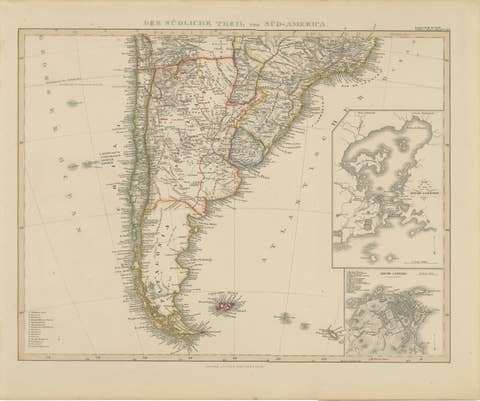
Its companion sheet covers the southern part of the continent. The pair records the geography of South America as it was understood in the 1850s, with the river systems drawn in particular detail.