About this sheet
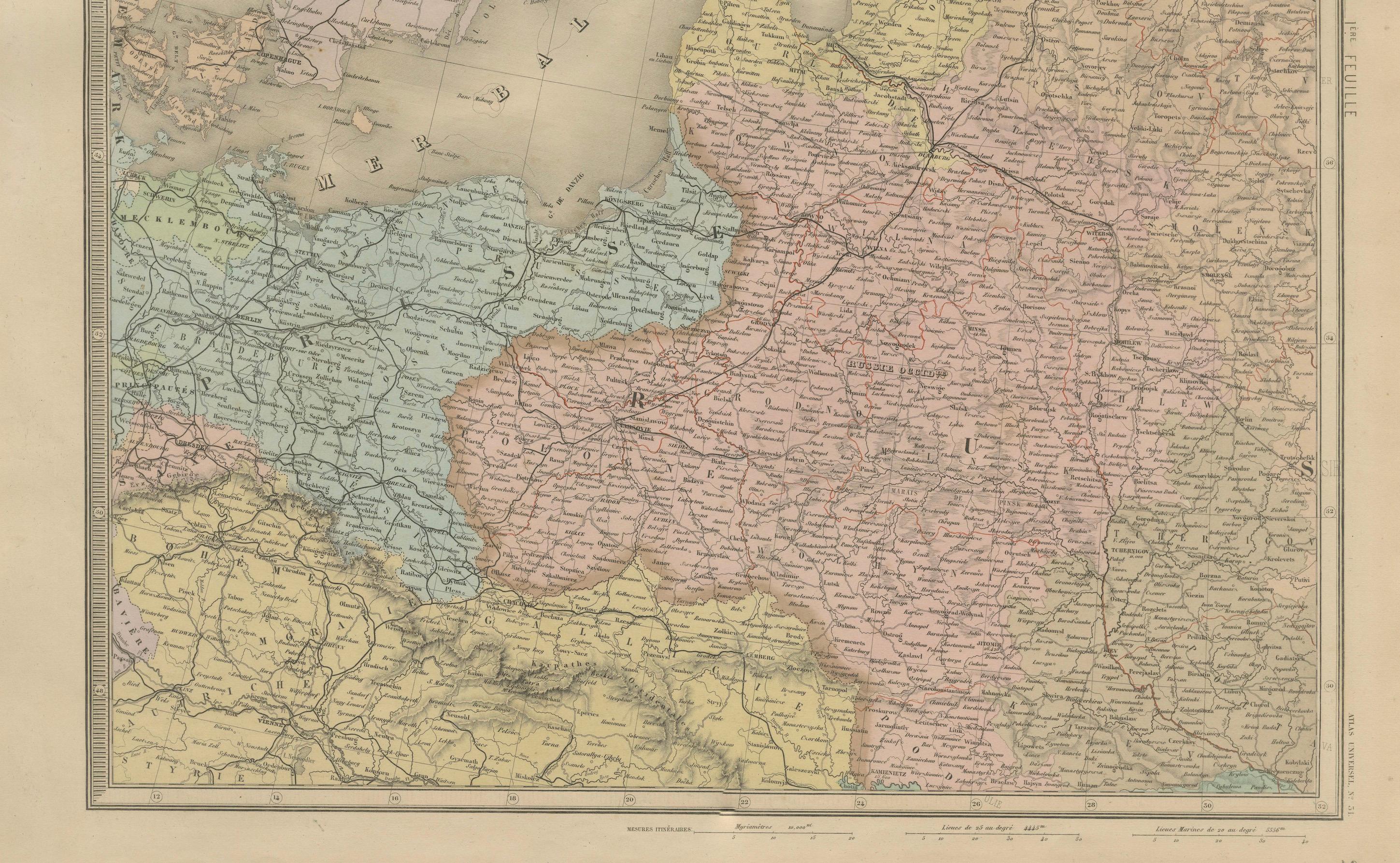
Antique Map of Scandinavia and the Baltic – Andriveau-Goujon, circa 1860s
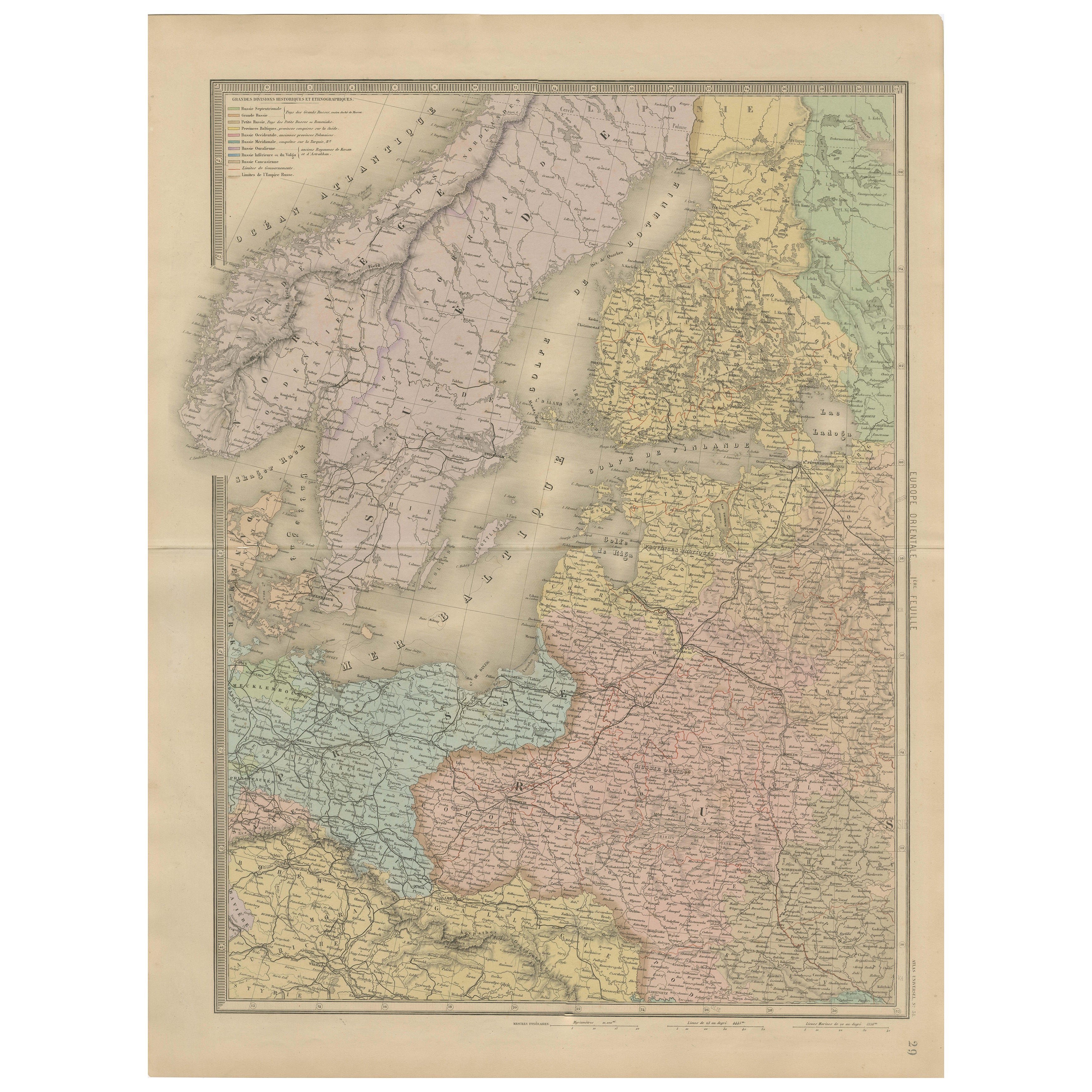
This impressive antique map presents Northern Europe, focusing on the Scandinavian Peninsula, the Baltic region, and parts of Northern Germany, Poland, and Russia. It was published by E. Andriveau-Goujon of Paris, likely in the early-to-mid 1860s as part of his renowned *Atlas Universel*. The map is engraved and hand-colored, showcasing the political geography of the region in the mid-19th century.
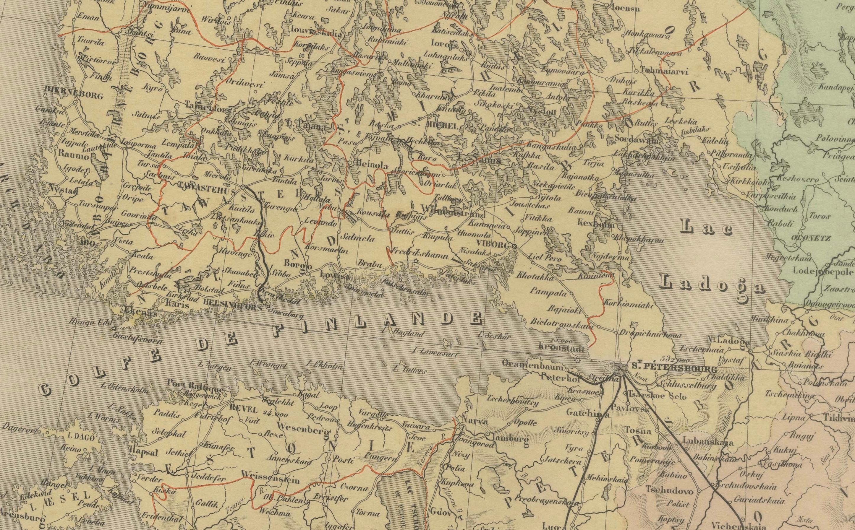
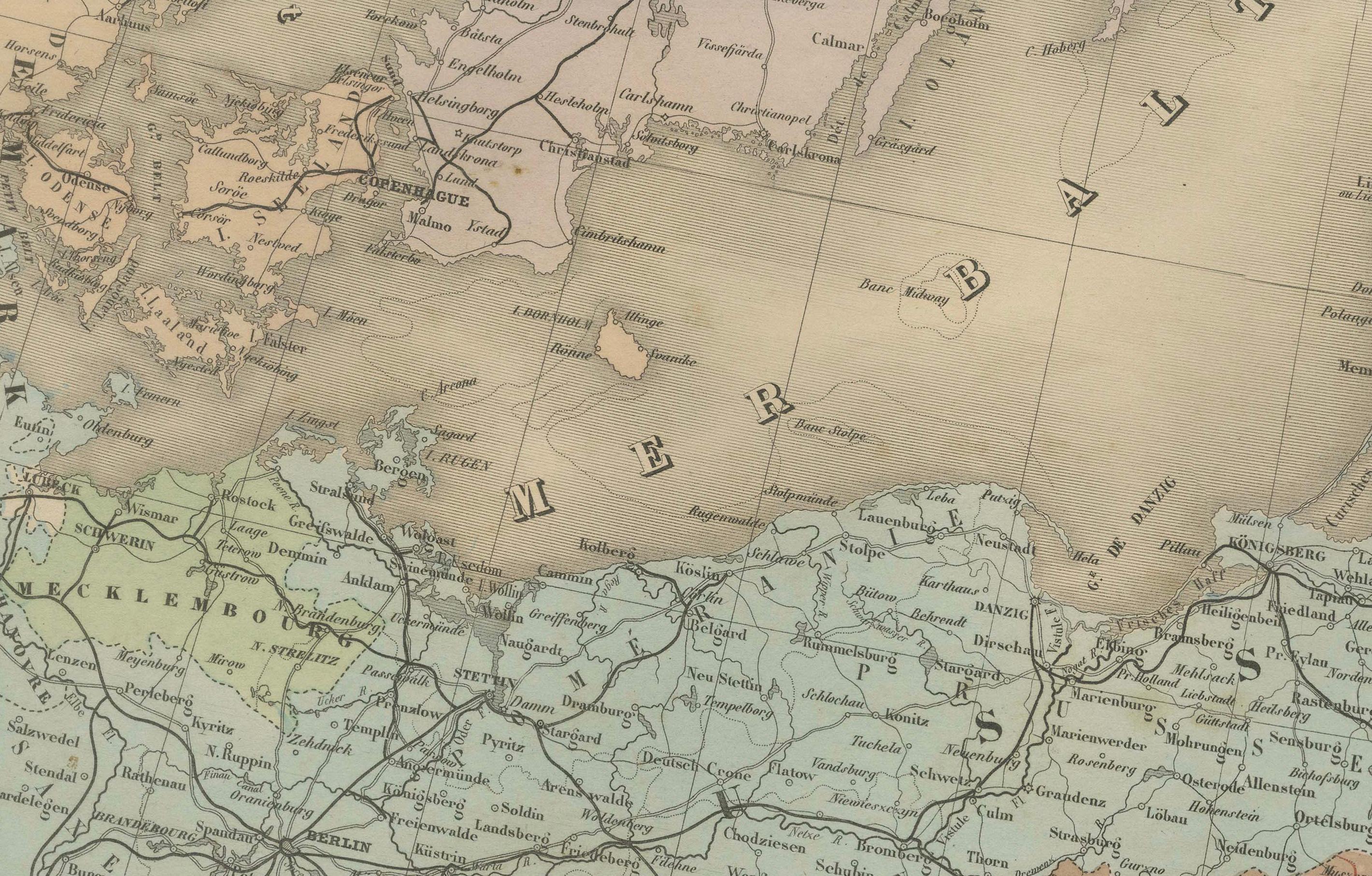
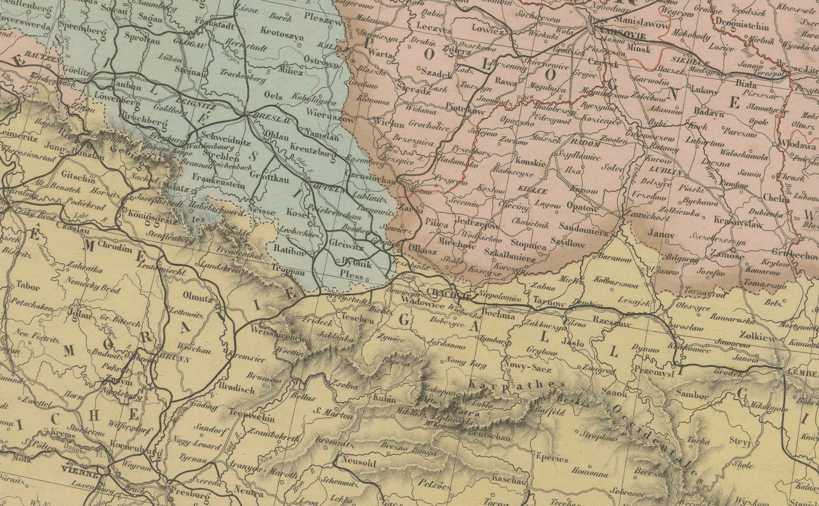
At the center of the map is the Baltic Sea, bordered by Denmark, Sweden, Finland (then part of the Russian Empire), the Baltic provinces, Prussia, and Poland. The entire Scandinavian Peninsula is clearly delineated, with Norway and Sweden distinguished in soft color tones. Major cities such as Stockholm, Christiania (Oslo), Helsinki, Riga, Königsberg, and Warsaw are labeled, along with countless smaller towns and regional roads.
The upper left corner includes a color-coded key to political boundaries, identifying territories such as:
– Royaume de Suède et Norvège
– Grand-Duché de Finlande
– Empire de Russie
– Royaume de Prusse
– Royaume de Pologne
– Royaume de Danemark
– Empire d’Autriche
– Confédération Germanique
The map reflects the complex and often overlapping sovereignties of the period, with Finland shaded under Russian control and Poland still referenced as a kingdom within the Russian Empire. The use of soft pastel coloring adds clarity to the territorial divisions while maintaining the map’s decorative charm.
Highly detailed rivers, lakes, mountain ranges, and coastal features are crisply engraved, showing the engraver’s skill and Andriveau-Goujon’s typical cartographic precision. As an artifact from the pre-industrial reordering of Northern Europe, it offers valuable context for understanding 19th-century geopolitics, trade, and cultural spheres.
Condition: Very good condition. Slight age toning and minimal foxing in the wide blank margins. Original centerfold as issued. Crisp impression with original pastel hand coloring. Plate number “29” in lower right.
Framing tips: Best displayed in a simple dark wood or black frame with a wide ivory or pale gray mat. An additional inner mat in blue or sage green would complement the cool Nordic tones of the map.
Technique: Engraving with original hand coloring
Maker: E. Andriveau-Goujon, Paris, circa 1860s