About this sheet
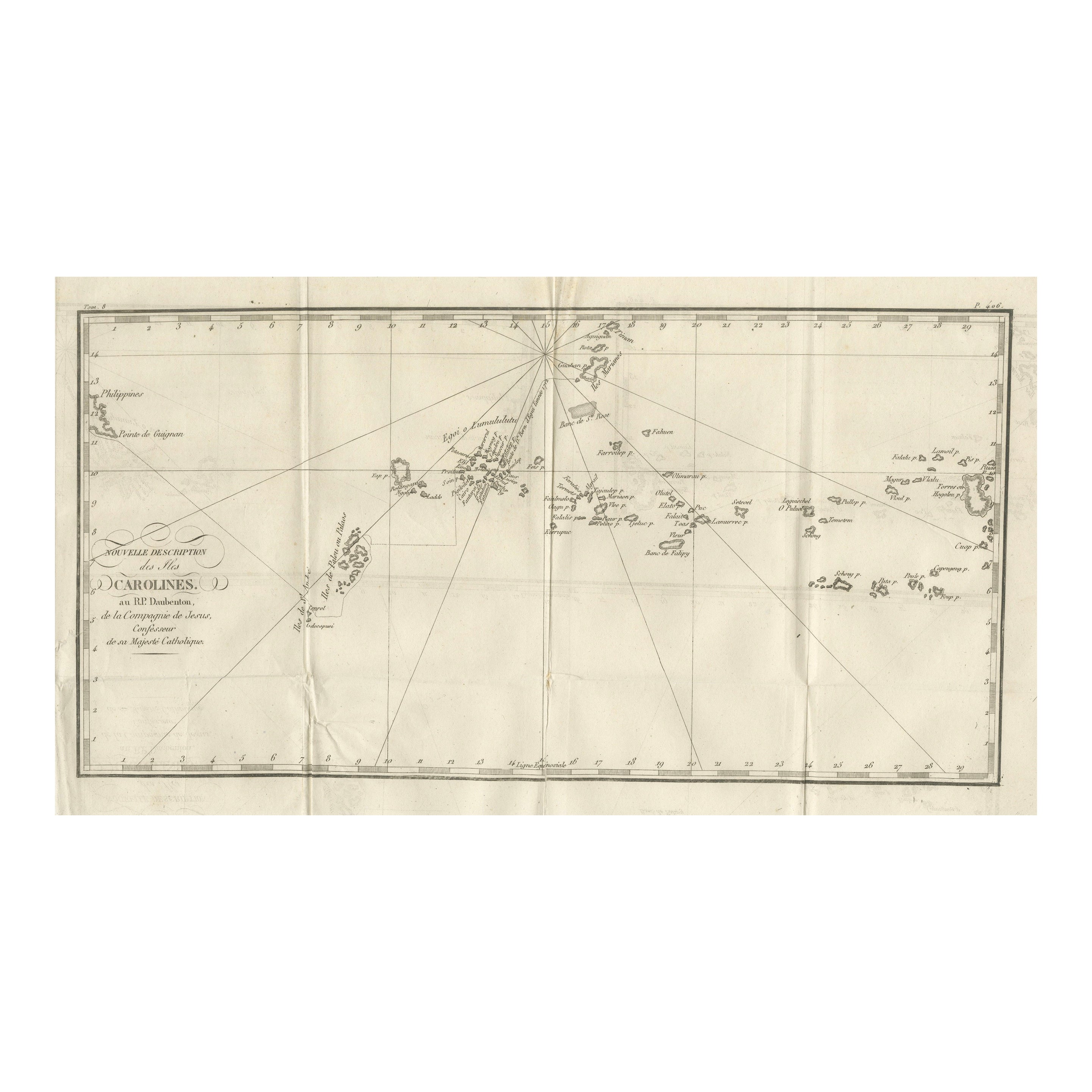
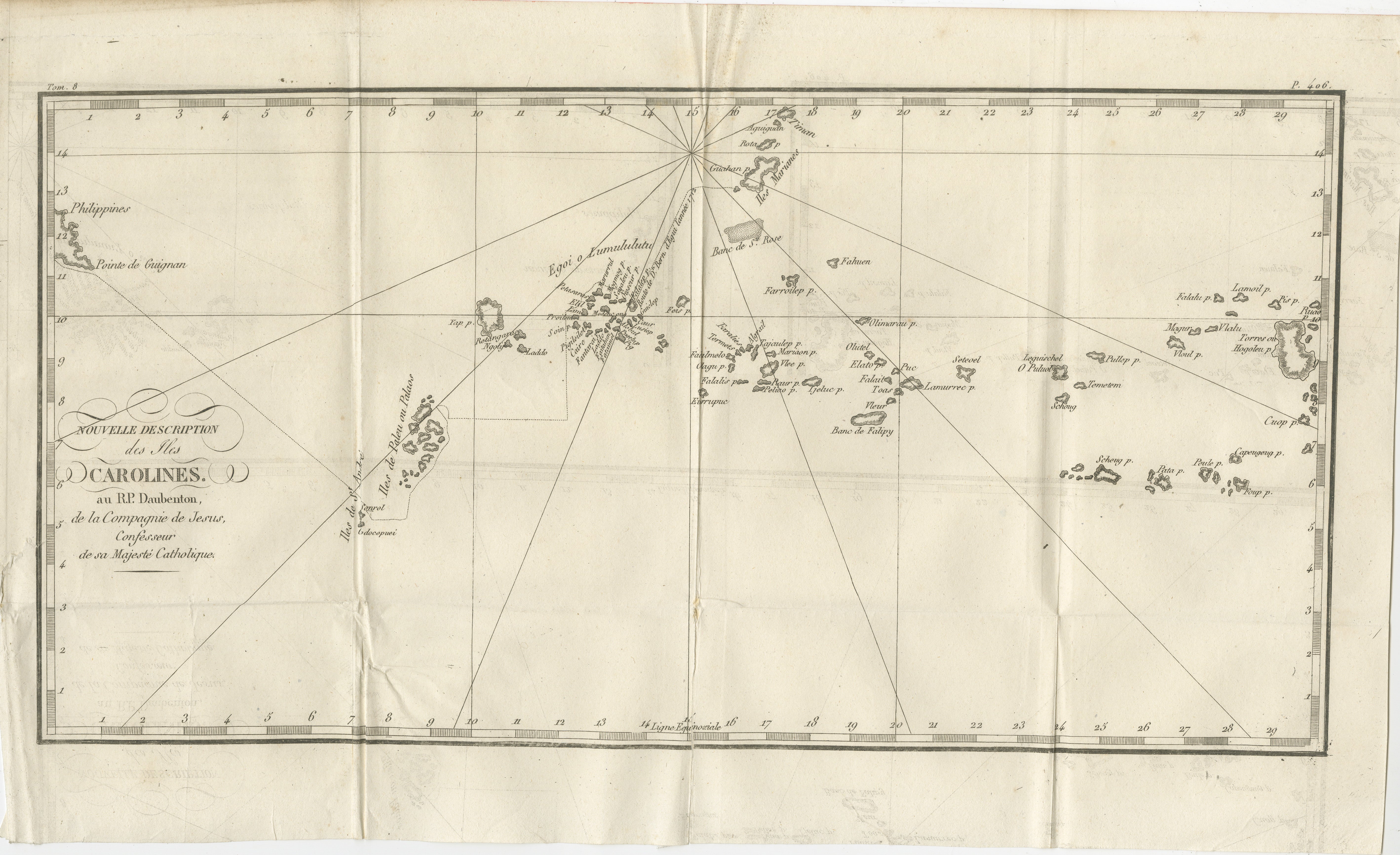
Map of the Caroline Islands – “Nouvelle Description des Isles Carolines”, c.1760
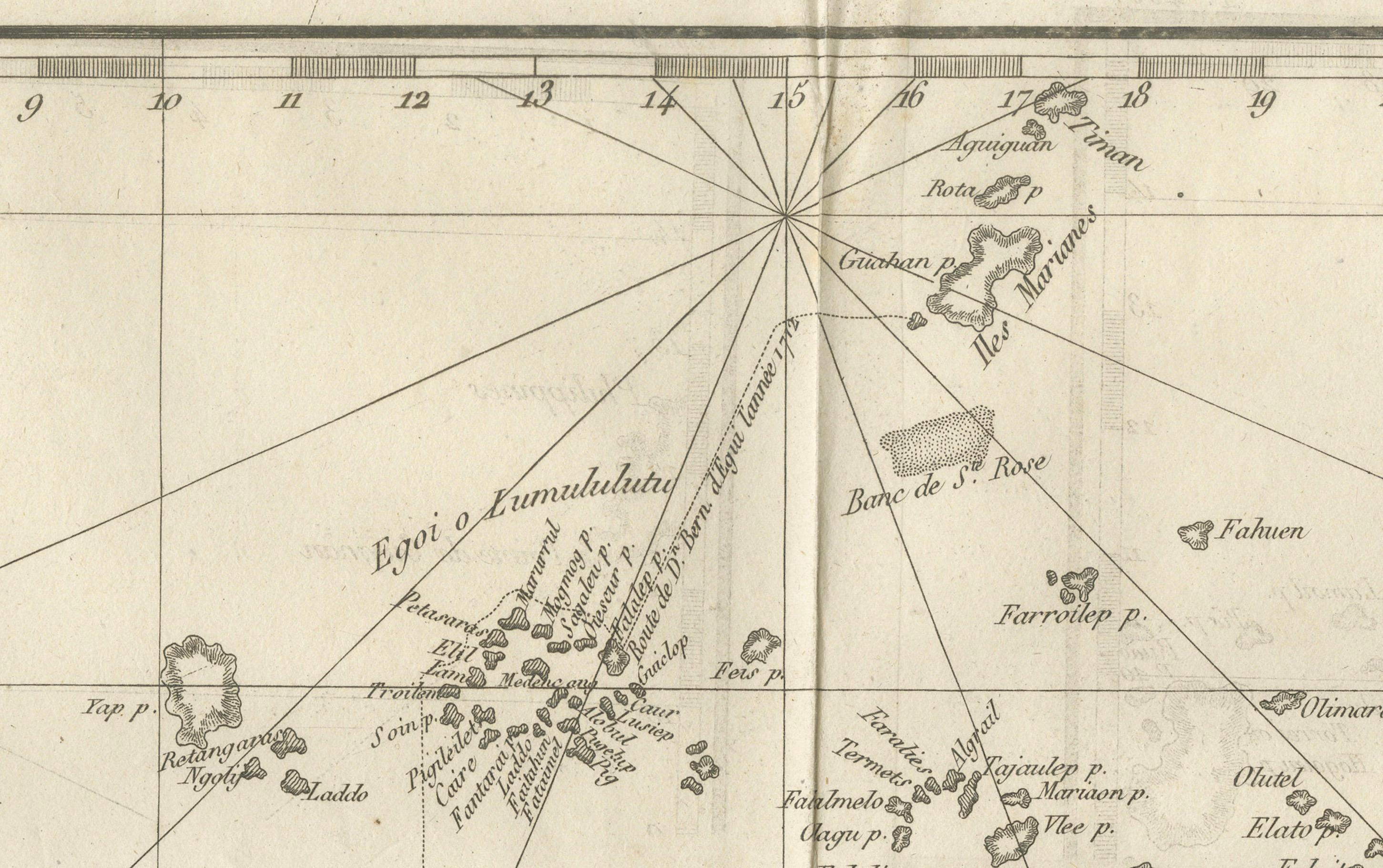
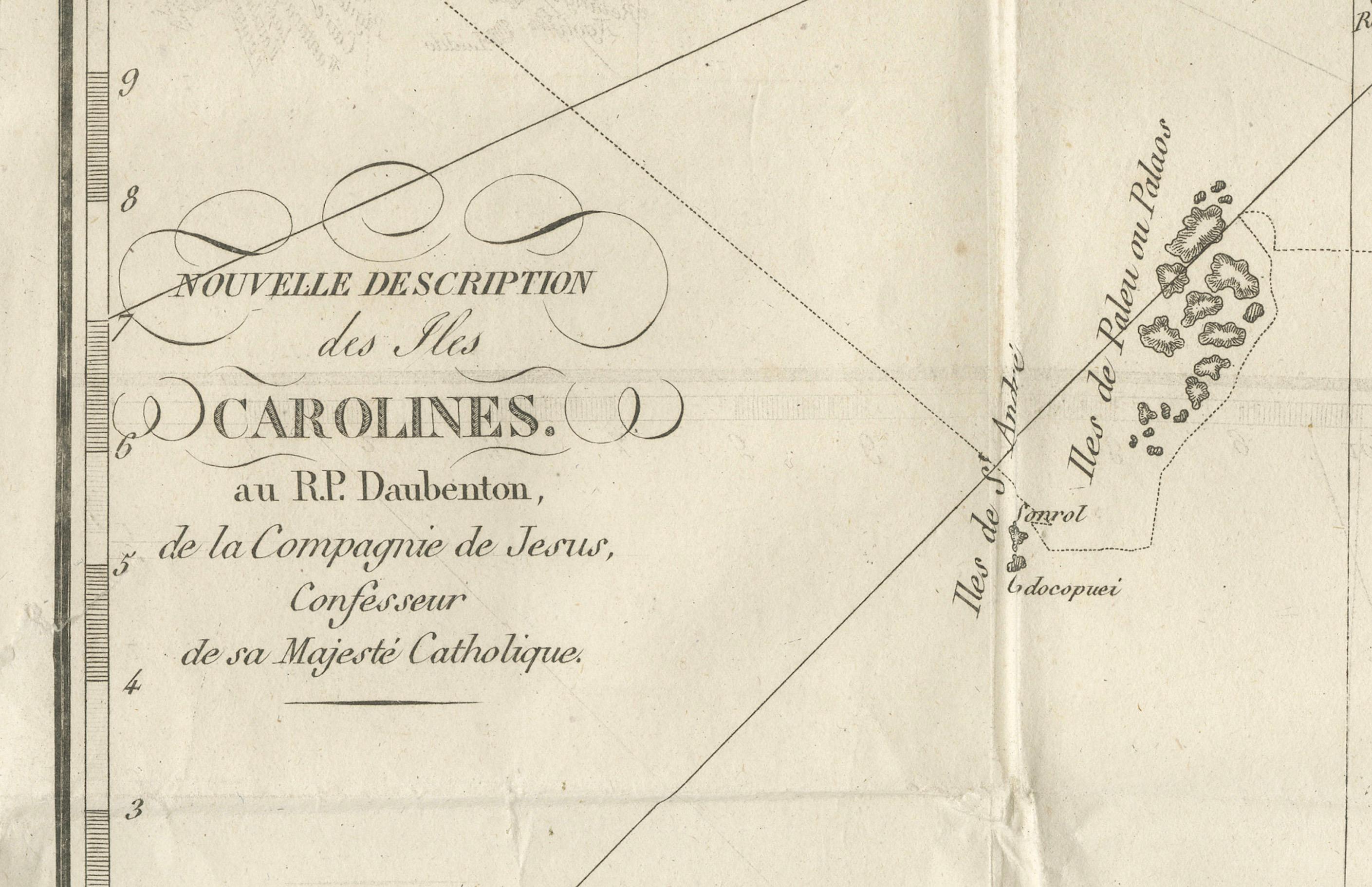
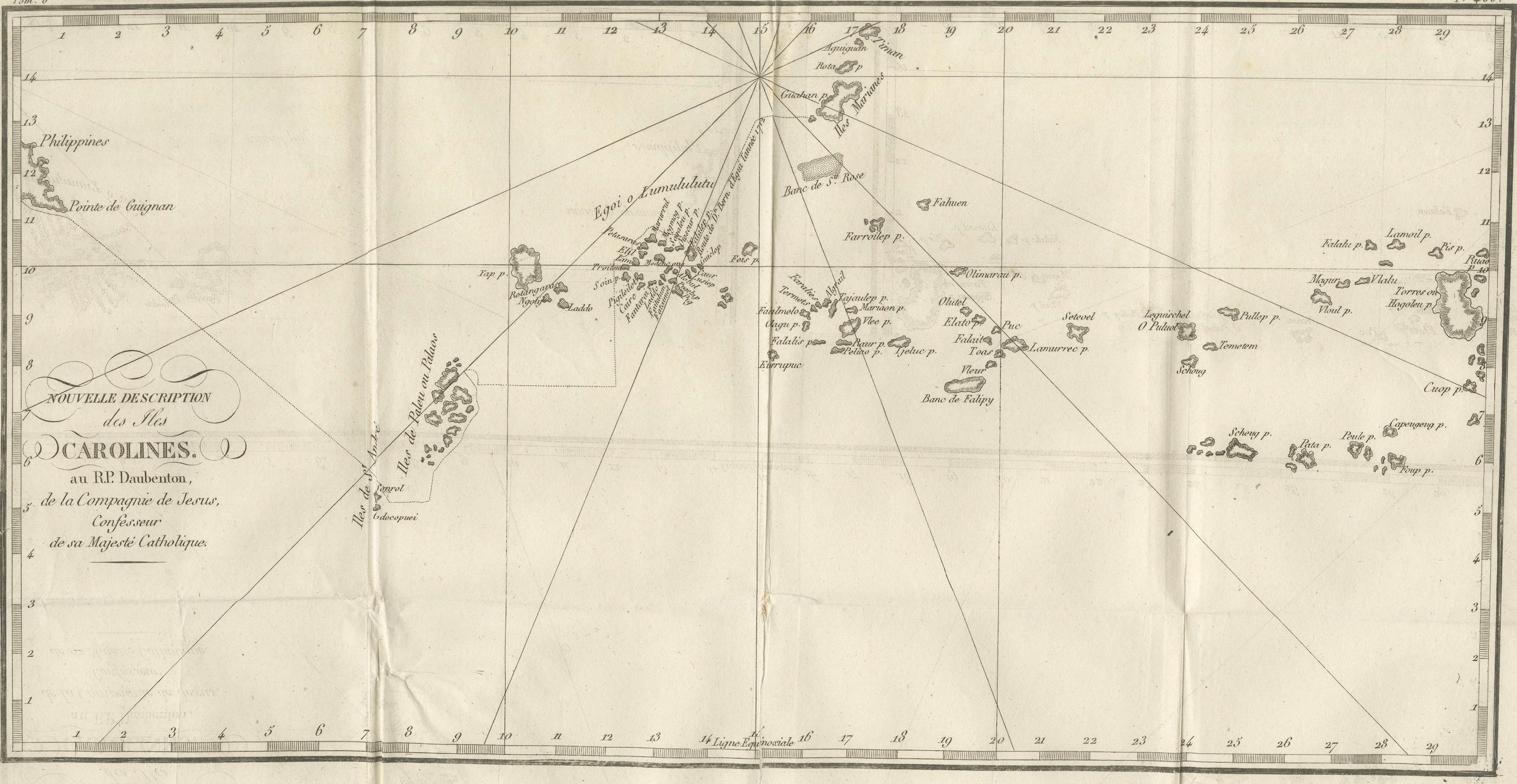
This 18th-century copperplate map, titled Nouvelle Description des Isles Carolines, charts the Caroline Islands in the western Pacific Ocean. It is credited to the Jesuit missionary Father Pierre Daubenton (R.P. Daubenton, de la Compagnie de Jésus), who served as confessor to the King of Spain. The chart provides a detailed view of the island groups between the Philippines and the Mariana Islands to the west and the Marshall Islands to the east.
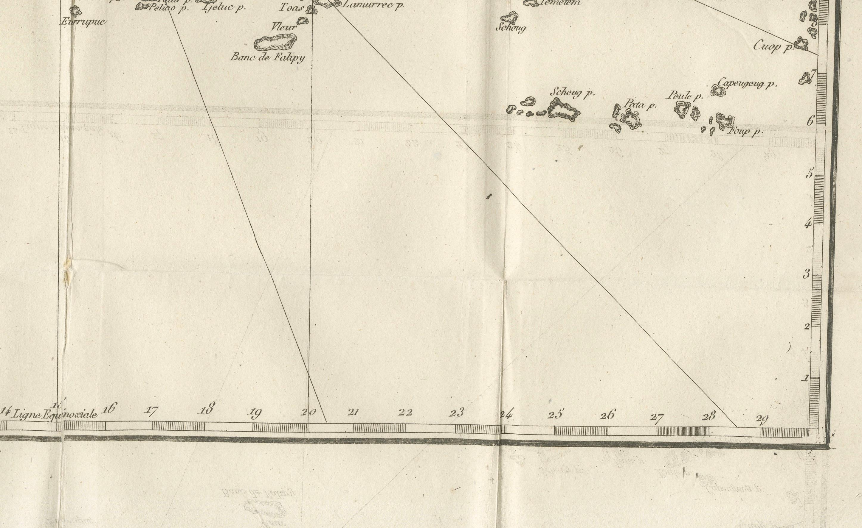
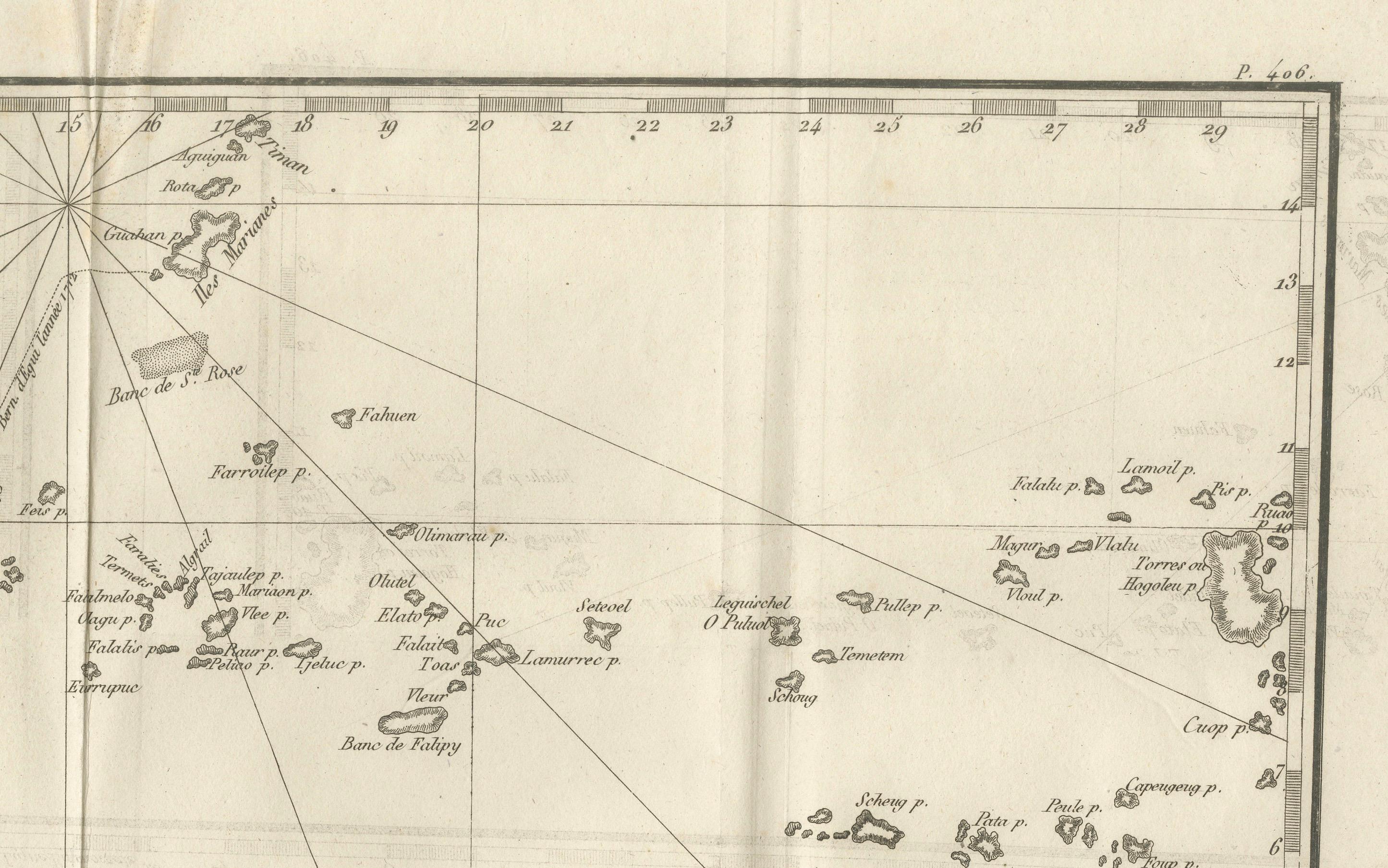
The map spans from the eastern edge of the Philippines, marked with “Pointe de Guingam,” to widely scattered island chains including Ulithi, Yap, and Palau to the west, and islands such as Lamurrec, Fais, and Falalop toward the center. Further east, the chart identifies individual islands and reefs with French-transliterated names, along with navigational hazards such as the Banc de Falrey. Radiating rhumb lines suggest maritime routes and navigational bearings across the archipelago.
The inclusion of numerous small atolls, shoals, and islets reflects both Spanish exploration in the Pacific and Jesuit involvement in the dissemination of geographical knowledge during the Enlightenment. The Caroline Islands, under nominal Spanish control at the time, were important waypoints in the trans-Pacific Manila galleon trade linking the Philippines to New Spain (Mexico).
Marked “P. 408” in the upper right, the plate likely comes from a French encyclopedic or voyage collection documenting global geography. The style of the engraving, with clean coastal outlines and minimal inland detail, is characteristic of nautical charts designed for navigation rather than political mapping.
Condition: Good for age, with central folds as issued. Minor toning and light spotting near the fold. Strong plate impression with fine island detail.
Framing tips: A black or dark walnut frame with a cream or off-white mount will emphasize the crisp engraving and navigational features. For a thematic display, it pairs well with other 18th-century Pacific exploration charts.
Technique: Copperplate engraving
Maker: Father Pierre Daubenton (source), French school, c.1760