maps-prints.com
✦
Black Friday Sale
Friday 20 to Monday 30 November: up to 30% off original antique maps and prints
The terms
- Up to 30% off selected original antique maps and prints. Every piece is an original, printed in its own time; none is a reproduction.
- The sale runs from Friday 20 November to Monday 30 November. Sale prices shown here apply from Friday 20 November; until then pieces are sold at their regular price.
- Free FedEx shipping on qualifying orders placed on our own websites: USA, Canada, UK and Europe over $500 / €450; rest of the world over $750 / €675. Smaller orders pay our normal shipping rate.
- Orders placed from 15 to 30 November ship from 1 December, in time for Christmas. Our shipping partner is InXpress.
- Each piece is unique, so the sale is while stock lasts.
Collection:AllAmericanSea chartsMilitaryNatural historyFashionArchitectureBotanicalSacredEast Indies
Sale prices apply from Friday 20 November. Save the pieces you like with the heart and come back on Friday.
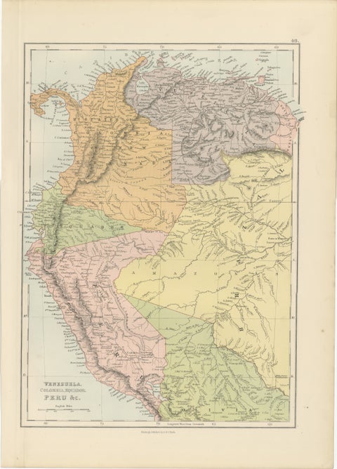 Antique Venezuela, Colombia, Ecuador & Peru Map, Bartholomew, 1884
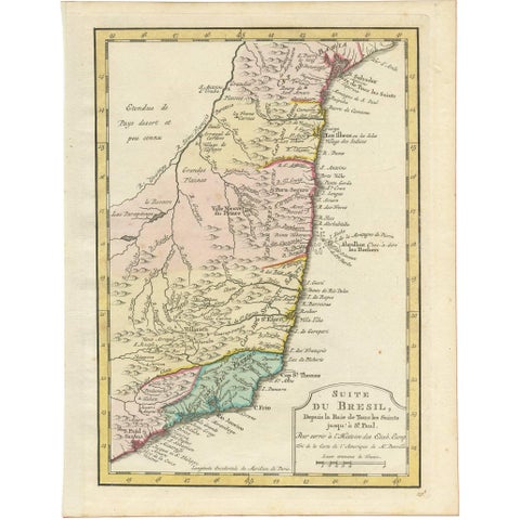 Antique Map of the Brazilian Coast by A. Van Krevelt
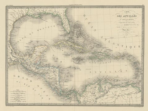 Antique Map of the Antilles by Pierre M. Lapie, Mid-19th Century
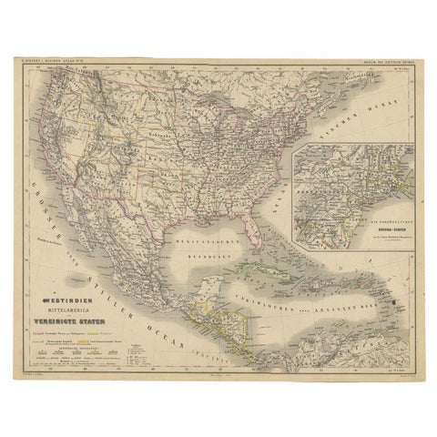 Old German Map of the United States, Central America and the West Indies, c.1870
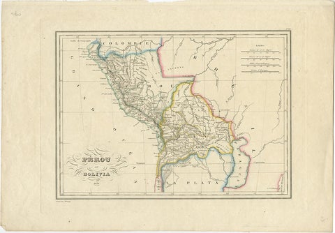 Antique Map of Peru and Bolivia, 1836
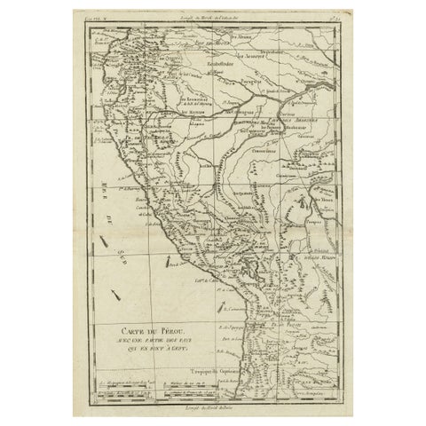 Map of the Western Coast of South America from Ecuador into Chili, ca.1780
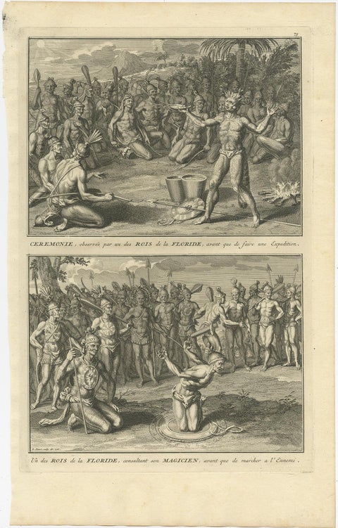 Two Engravings of an Florida King of the Indians in America, 1722
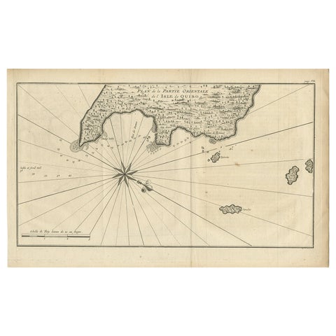 Antique Map of Coiba Island, Panama, South America, C.1740
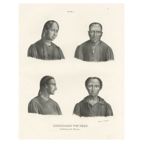 Original Antique Print of Peruvians, Natives of Peru
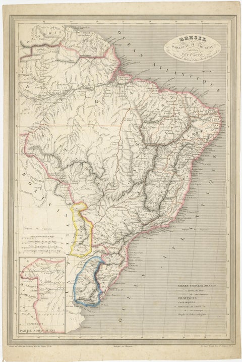 Antique Map of of Brazil, Paraguay and Uruguay
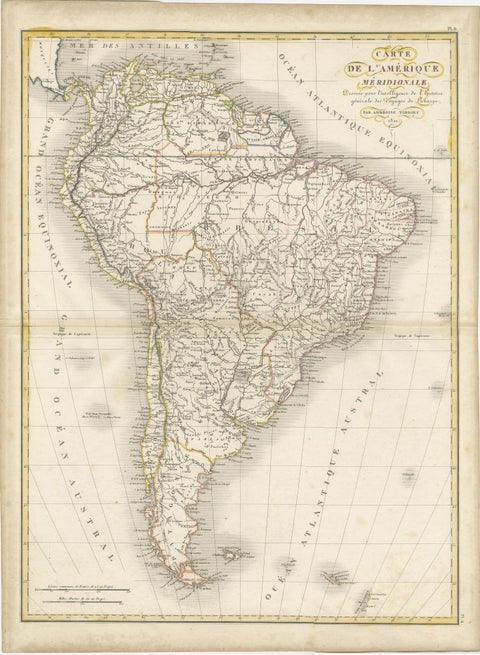 Scarce Antique Map of South America
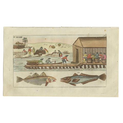 Antique Fish Print of Whiting, Hake and Workers gutting and salting fish
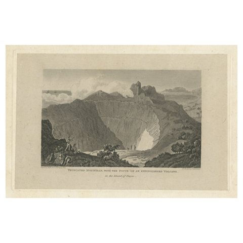 Rare Visions of a Dormant Titan: The Ancient Volcano of Owyhee or Hawaii, 1815
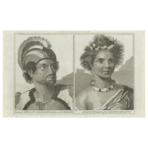 Regalia of the Sandwich Islands: Portraits in Traditional Attire, 1790
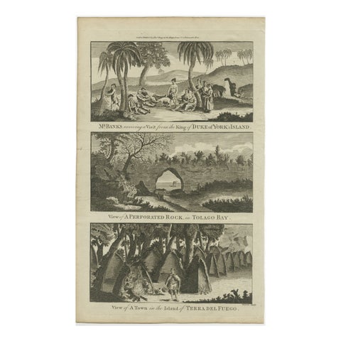 18th Century Engravings of Exploration: Banks, Tolago Bay, Terra del Fuego, 1790
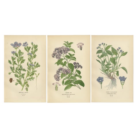 1897 Vibrant Botanical Prints – Baby Blue Eyes, Cherry Pie and Blue Eyed Mary
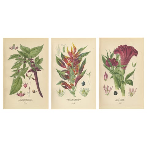 1897 Botanical Prints – Love-Lies-Bleeding, Variegated Amaranth, and Cockscomb
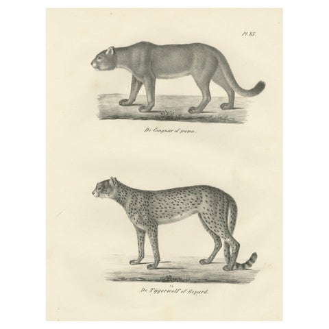 19th-Century Lithograph of the Puma and Cheetah in Graceful Stances
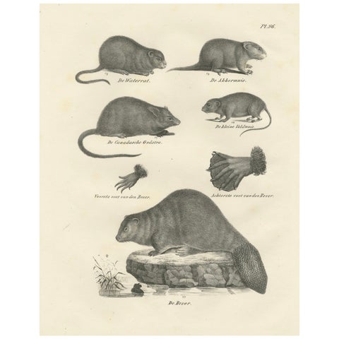 19th-Century Zoological Lithograph of Beavers, Muskrats and Field Mice
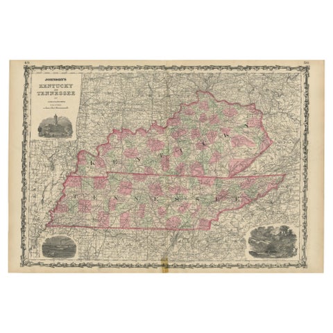 Civil War Era Map of Kentucky and Tennessee with Scenic Insets, Published 1864
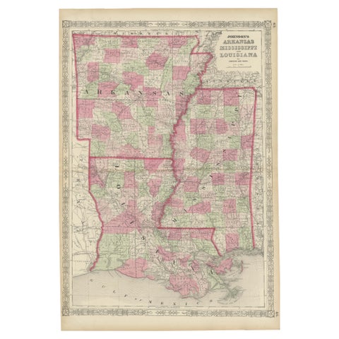 Rare 1864 Civil War Era Map of Arkansas, Mississippi, and Louisiana
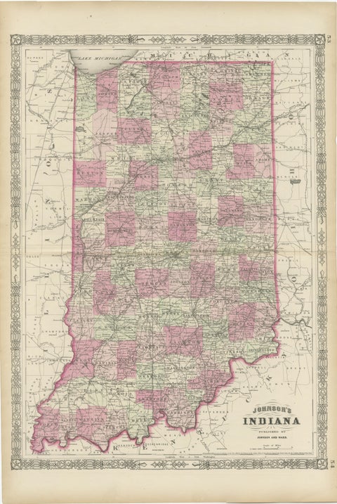 Decorative 1864 Civil War Era Map of Indiana with Lake Michigan Detail
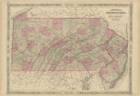 Historic 1864 Civil War Map of Pennsylvania and New Jersey with Coastal Focus
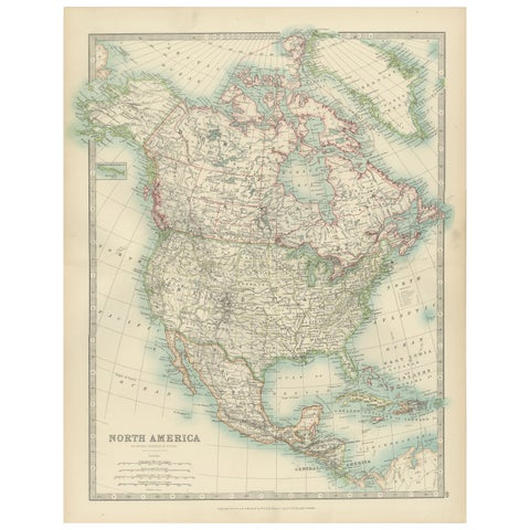 Explore North America in 1903 - Intricately Detailed Antique Map
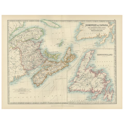 Canada Dominion Map 1903 - A Detailed View of Eastern Canada and Newfoundland
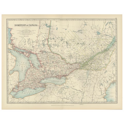 Canada Map 1903 - East Central Dominion - Ontario, Quebec & More
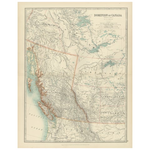 Canada’s West – 1903 Engraved Map by Johnston – Unique and Historic
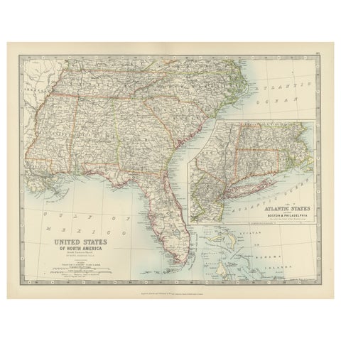 Map of the Southeastern USA and Atlantic States – Vintage 1903 Geography
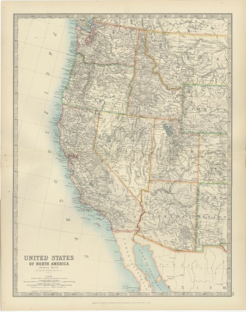 Map of Western United States 1903 – Railroads, State Borders, and Terrain
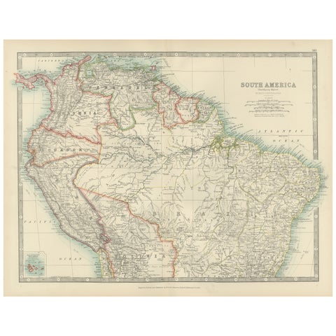 Map of Northern South America – Vibrant Engraving by Keith Johnston, 1903
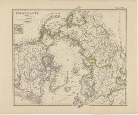 Arctic Polar Map – Greenland, North Pole & Russian Empire Regions, 1857
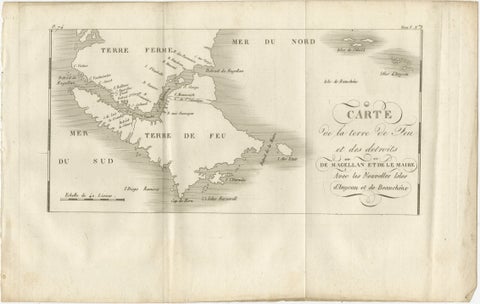 Map of Tierra del Fuego and the Straits of Magellan and Le Maire, c.1760
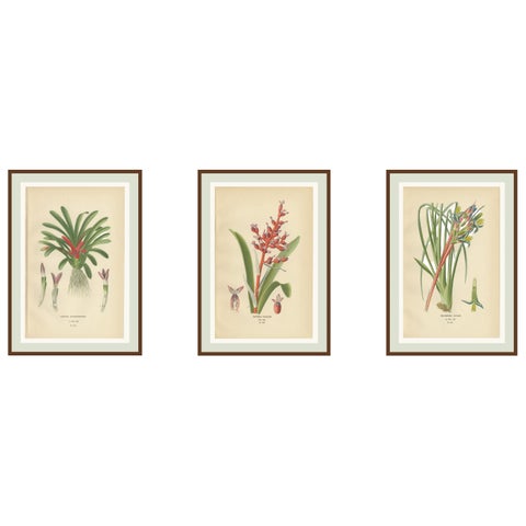 Antique Orchid & Bromeliad Chromolithographs 1897 – Karatas, Aechmea, Billbergia
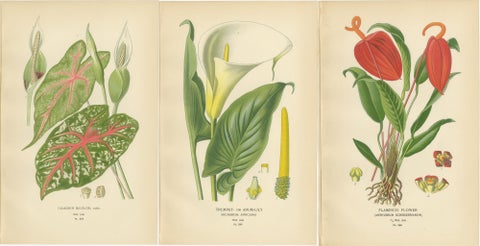 Antique Botanical Lithographs – Caladium, Arum Lily & Flamingo Flower – c.1897
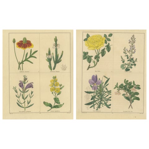 Pair of Hand-Colored Victorian Botanical Prints by B. Maund 1836
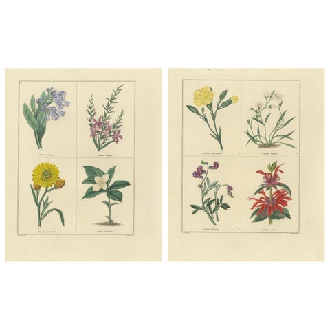 Charming Pair of Antique Floral Engravings for Wall Décor, 1828
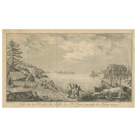 View of the Harbor of St Pierre, Newfoundland – Early French Coastal Engraving
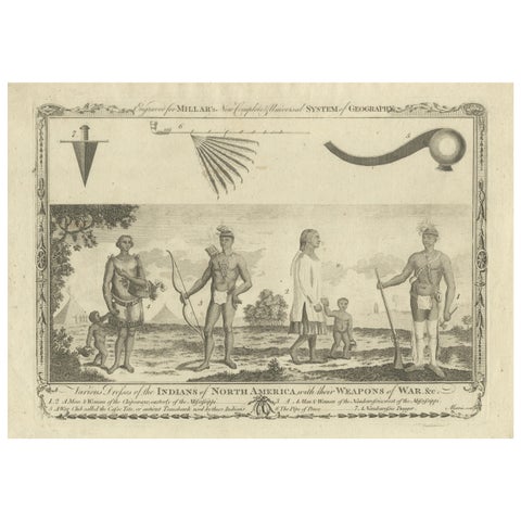 Indians of North America, Dress and Weapons – Millar Geography Engraving, c.1782
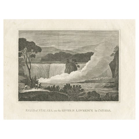 Falls of Niagara, River St. Lawrence, Canada – Engraving Published in 1816
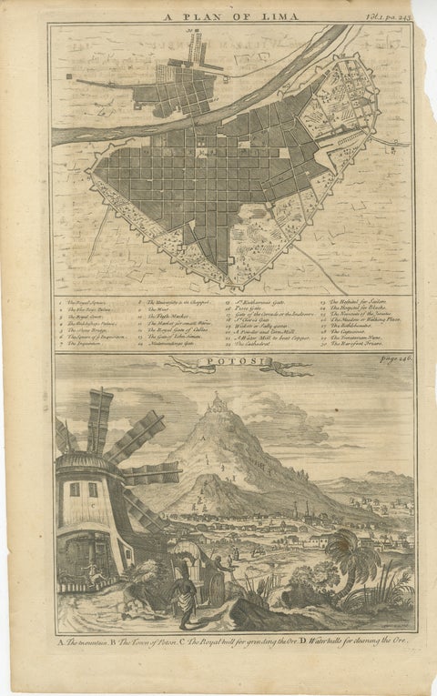 Plan of Lima and View of Potosí – Peru & Bolivia City Plan and Mining View, 1750
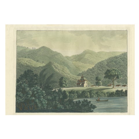 Brazil in Soft Greens — St. Fidelis Jesuit Mission View, Aquatint 1821
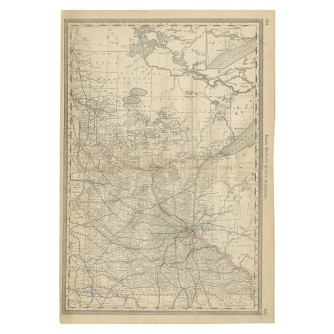 Antique Minnesota Map Wall Art by Rand McNally, Color Lithograph, 1888
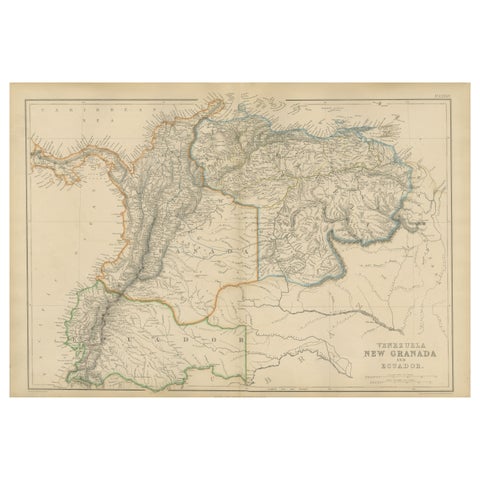 Venezuela, New Granada and Ecuador, Antique Map, Northern South America, 1860
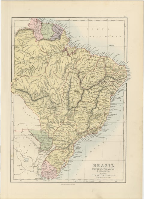 Antique Brazil Map, Uruguay, Paraguay & Guiana, Bartholomew, 1884
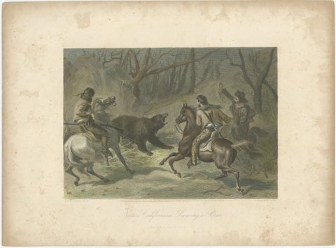 Native Californians Lassoing a Bear, Hand-Colored Americana Print, 1853
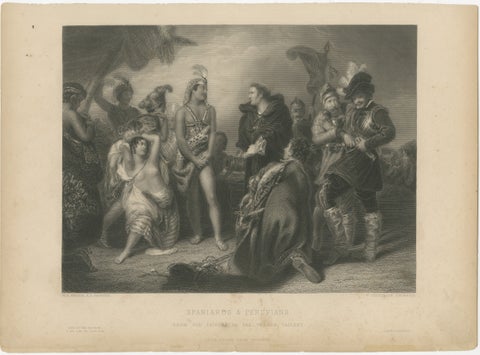 Original Antique Engraving of Spaniards & Peruvians after H.P. Briggs, c.1827
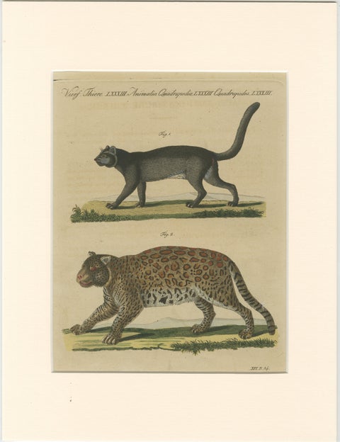 Antique Jaguar & Jaguarundi Engraving – Bertuch, 1813
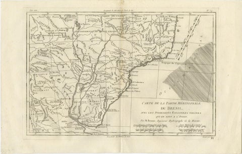 Southern Brazil & Río de la Plata – Enlightenment Map by Rigobert Bonne, c.1780
Sharing the sale? Download the Black Friday banners.