Map of the Southeastern USA and Atlantic States – Vintage 1903 Geography
€ 340
Original antique · The actual sheet photographed · Certificate of authenticity on request · Sold unframed · Worldwide shipping from € 15 (rates)
Date
1903
Sheet size
36.8 × 47 cm (14.5 × 18.5 in)
Condition
Good
Reference
BG-13577-46
What the condition grades mean
Excellent
Bright and clean, with no faults worth mentioning.
Very good
Only light signs of age, such as faint toning.
Good
Normal signs of age for a sheet of this period: toning, some foxing, small marks or neat old repairs.
Fair
Clear faults such as staining, tears or repairs, priced to match.
Every fault we see is written in the condition note, and the whole sheet is shown uncropped in the photos.
Condition
Condition is excellent for its age, with only minor aging or marginal imperfections that do not detract from its presentation. The engraved lines and colored boundaries remain vivid, offering a crisp visual appeal perfect for display or collection.
About this sheet
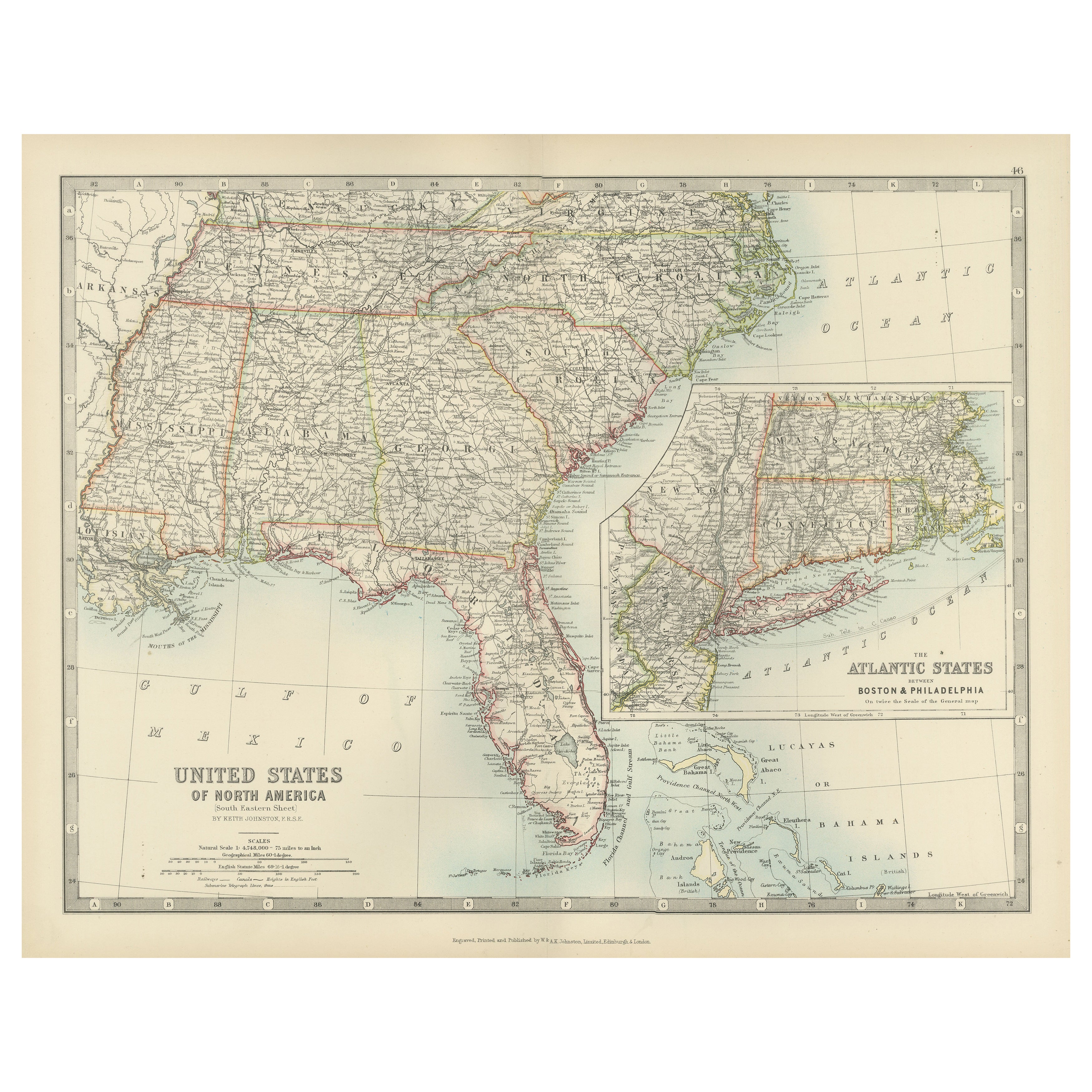
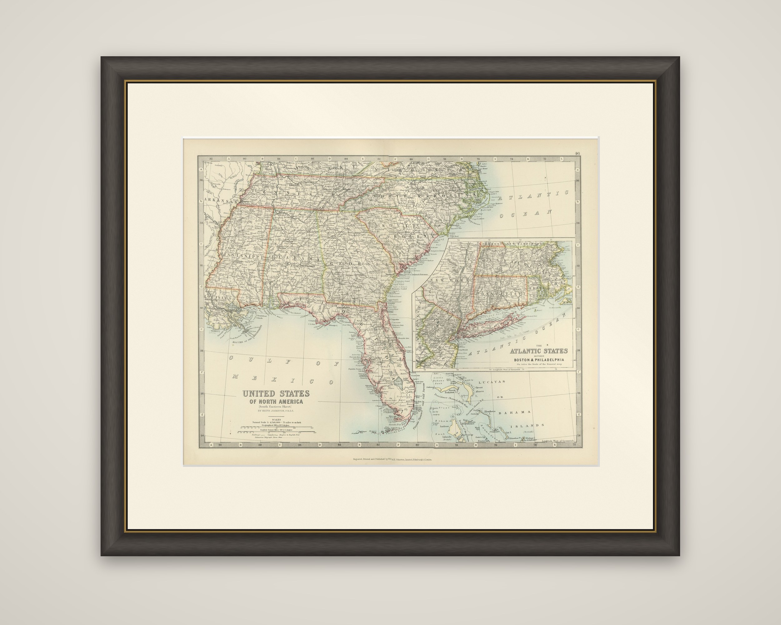
The American Southeast and the Atlantic coast on one sheet, "United States of North America (South Eastern Sheet)" by Keith Johnston, color-printed and published in 1903 by W. & A.K. Johnston of Edinburgh and London. The title is lettered at the lower left with the scales beneath it.
The main map covers the Gulf states and the southern Atlantic seaboard: Mississippi, Alabama, Georgia and Florida, South Carolina and North Carolina, with Tennessee and a corner of Virginia and Kentucky at the top and part of Louisiana and Arkansas at the left. State boundaries are tinted in color, with counties, railroads, rivers and the mountains of the southern Appalachians. At the bottom the Gulf of Mexico and the Straits of Florida are named, with the Bahama Islands, "Lucayas or Bahama Islands," in the lower right corner. A large inset at the right, "The Atlantic States between Boston & Philadelphia," shows New York, Long Island, Connecticut, Rhode Island and Massachusetts at a larger scale than the surrounding sheet.
The inset fills the area that would otherwise fall off the edge of this sheet, which is why the sheet pairs the far South with the densest part of the Northeast.