Plan of Lima and View of Potosí – Peru & Bolivia City Plan and Mining View, 1750
€ 340
One of a kind: this is the sheet in the photographs. Ships from Langweer, the Netherlands.
Date
1750
Sheet size
41.7 × 25 cm (16.4 × 9.8 in)
Condition
Fair
Reference
BG-14215-4
Condition
Overall age-related toning and light surface wear. Original folds as issued. Some edge wear and small handling marks, consistent with use in a bound volume.
About this sheet
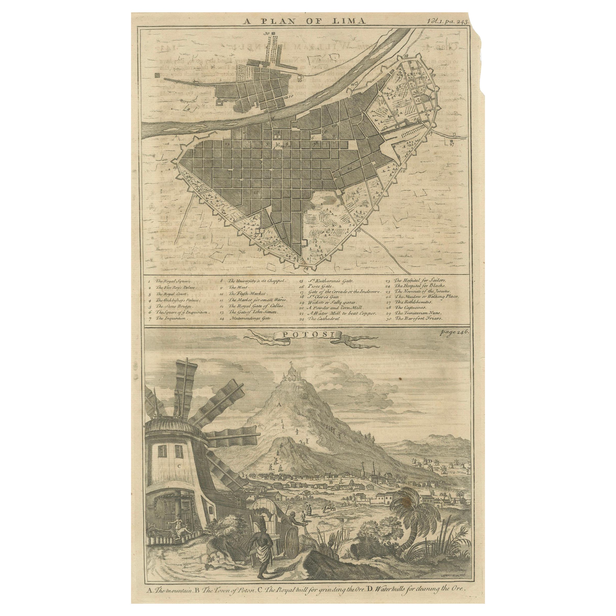
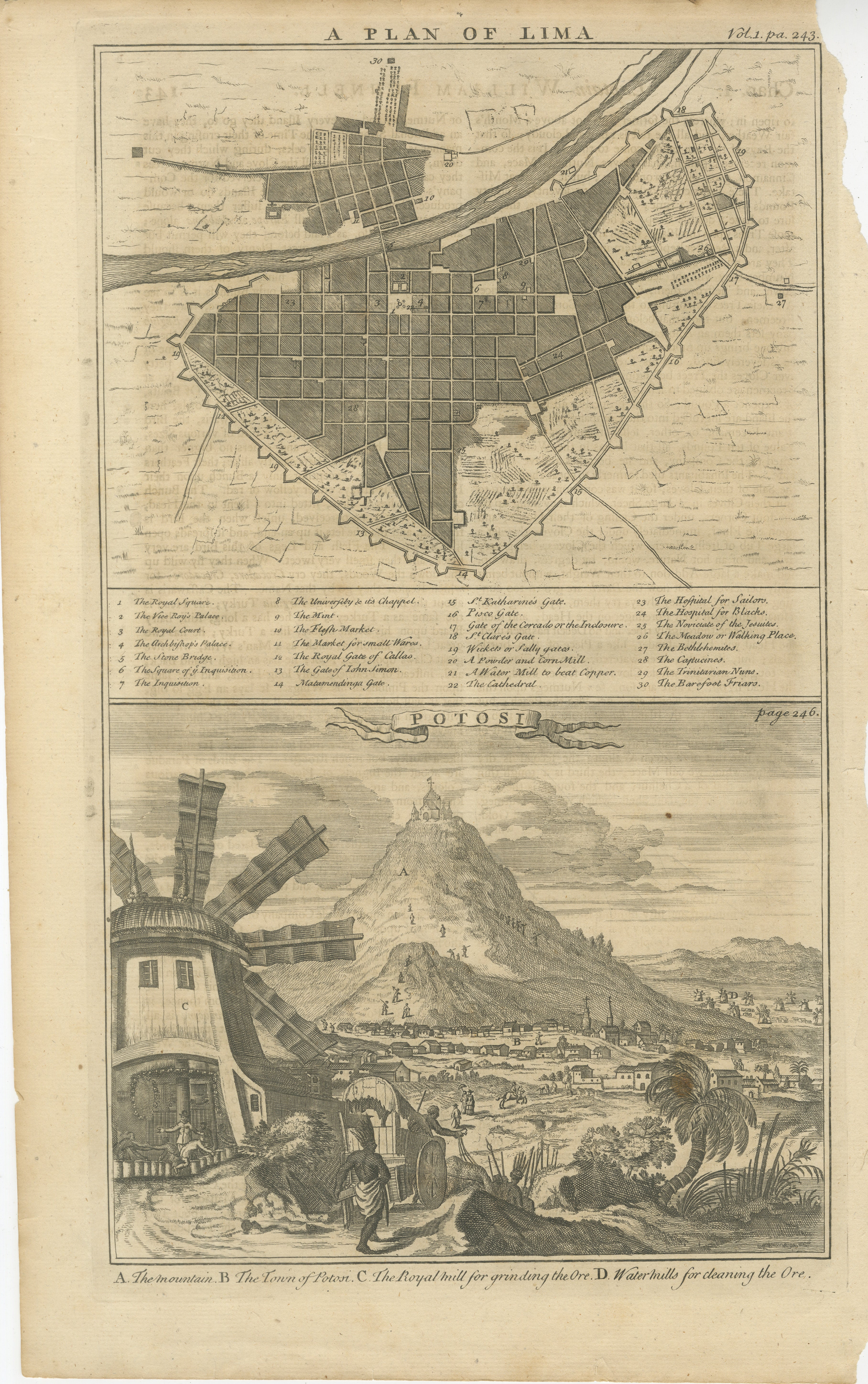
Plan of Lima and View of Potosí – Peru & Bolivia City Plan and Mining View c.1750
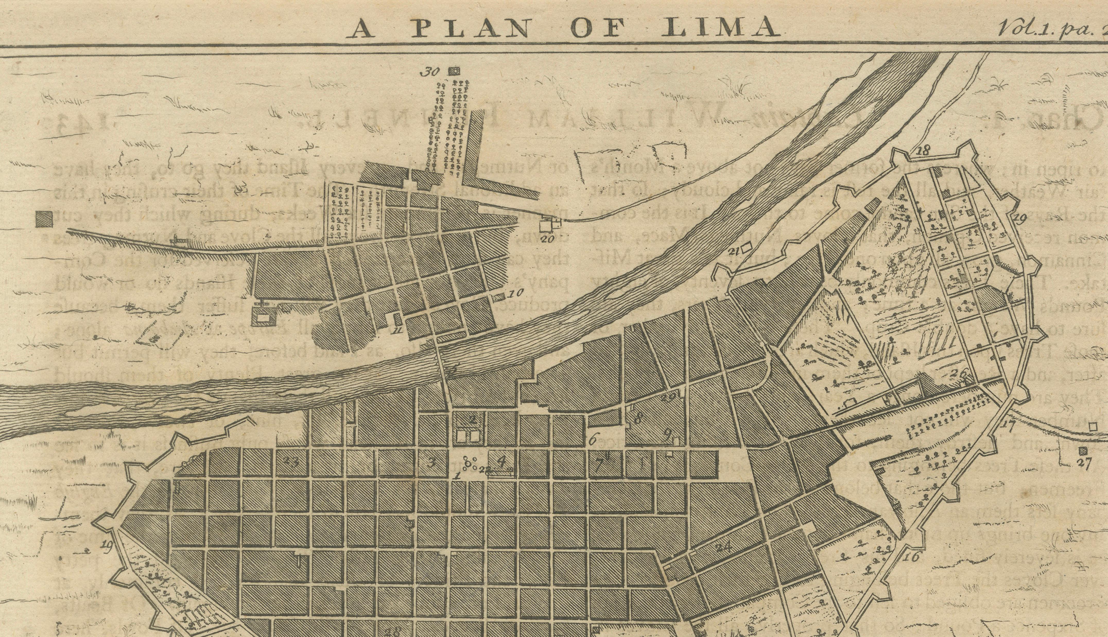
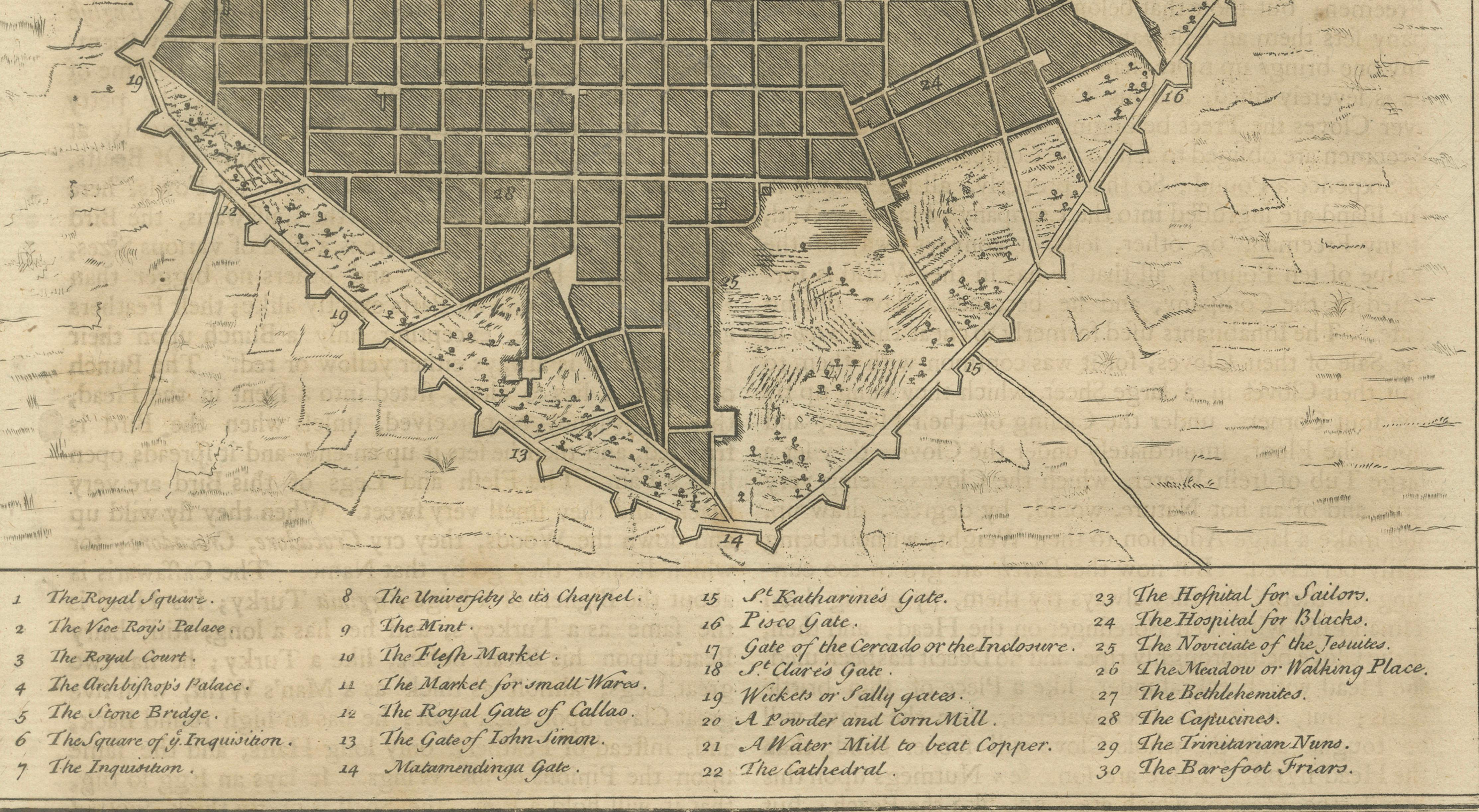
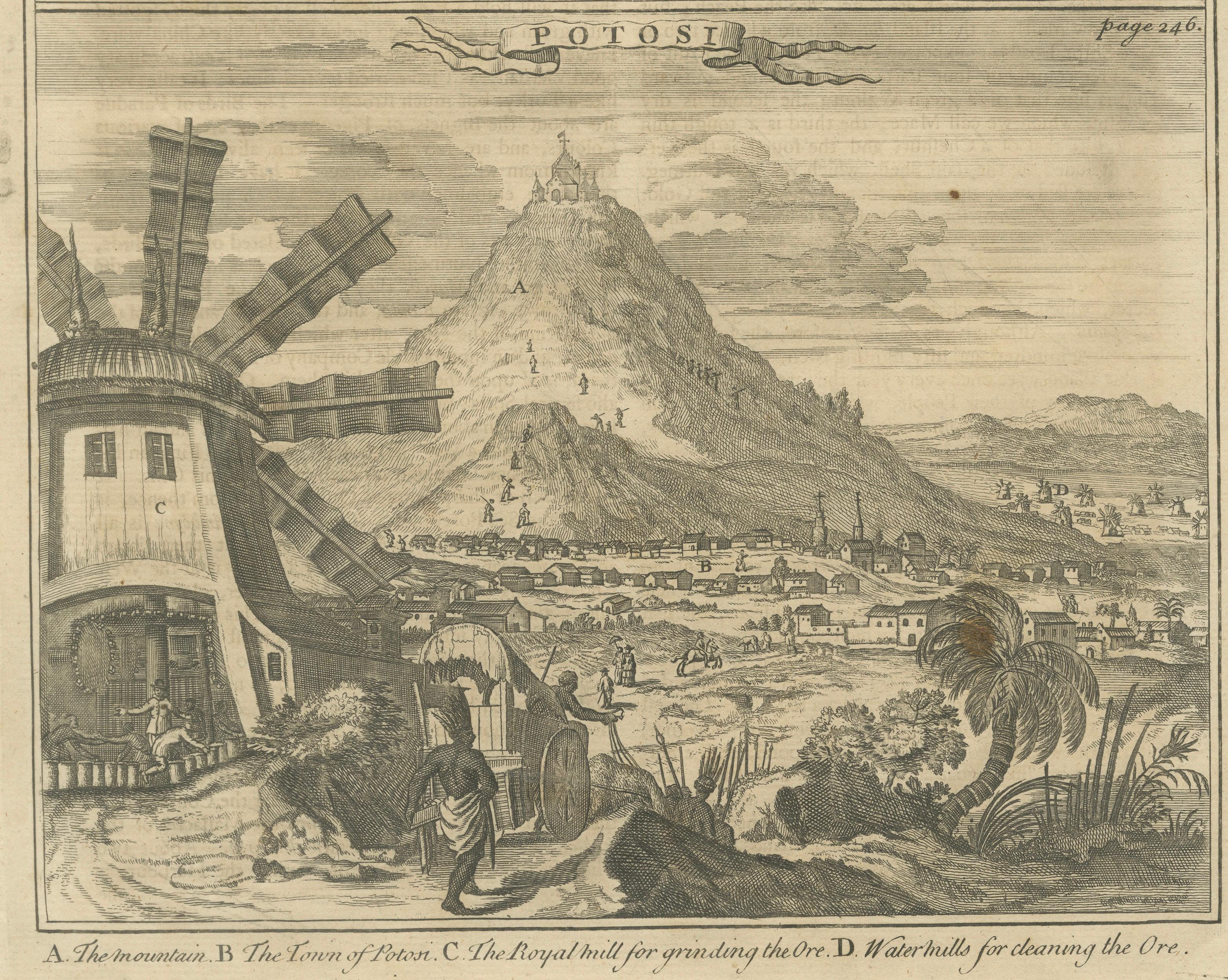
This original antique engraving combines two important South American subjects on a single sheet: a detailed 'plan of the city of Lima' and a 'view of Potosí', one of the most significant mining centers of the early modern world. The upper portion is titled A Plan of Lima and is marked “Vol. I, p. 243,” indicating that it was issued as part of a larger illustrated travel or historical publication. The lower view of Potosi is correspondingly referenced to page 246.
The plan of Lima shows the city in a rectilinear grid pattern typical of Spanish colonial urban planning. Streets, blocks, fortifications, gates, public buildings, and open spaces are carefully delineated, with the river running through the city clearly indicated. A numbered key below the plan identifies principal features such as churches, gates, markets, hospitals, and administrative buildings, reflecting Lima’s role as the capital of the Viceroyalty of Peru and a major center of Spanish power in South America.
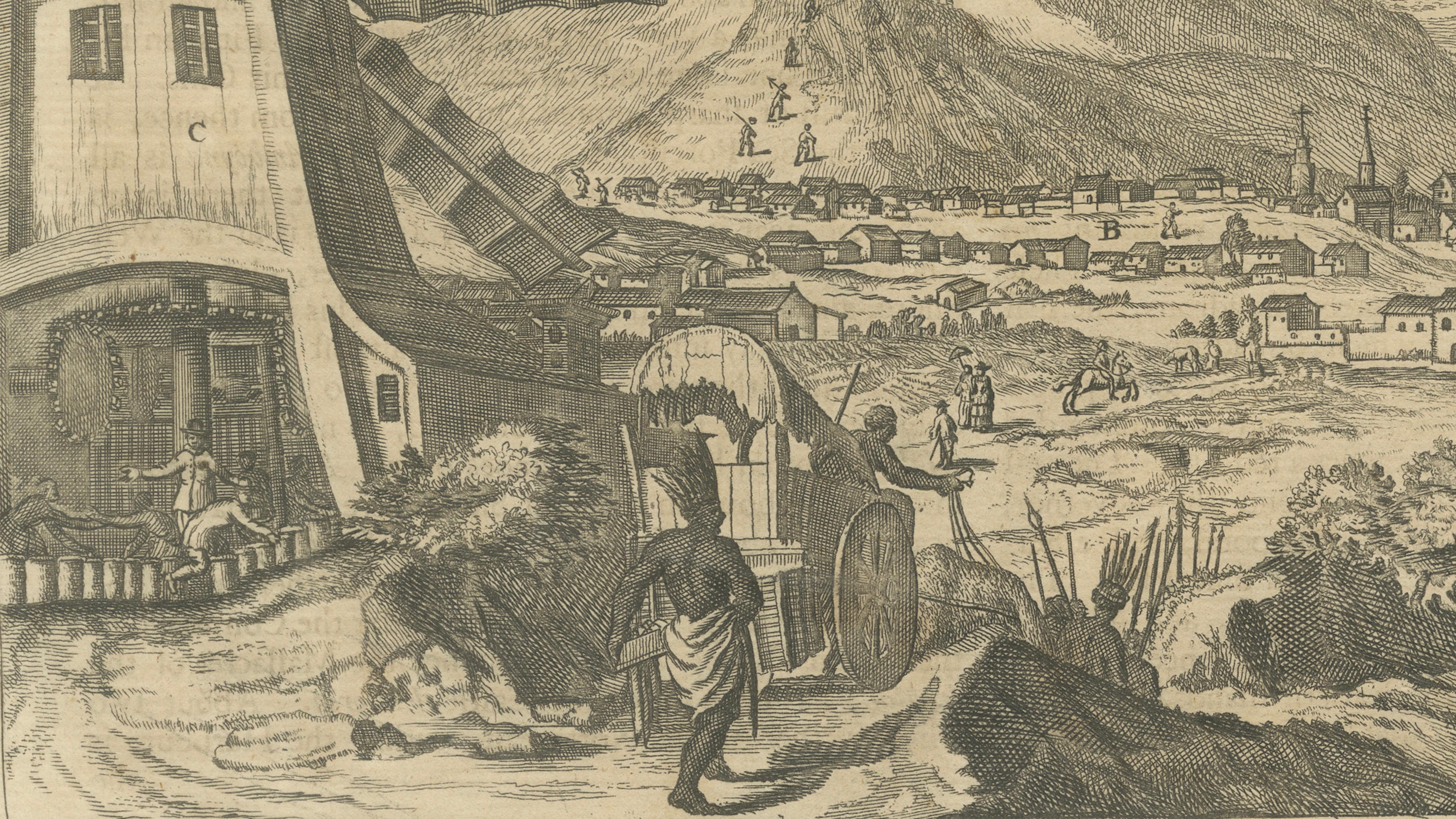
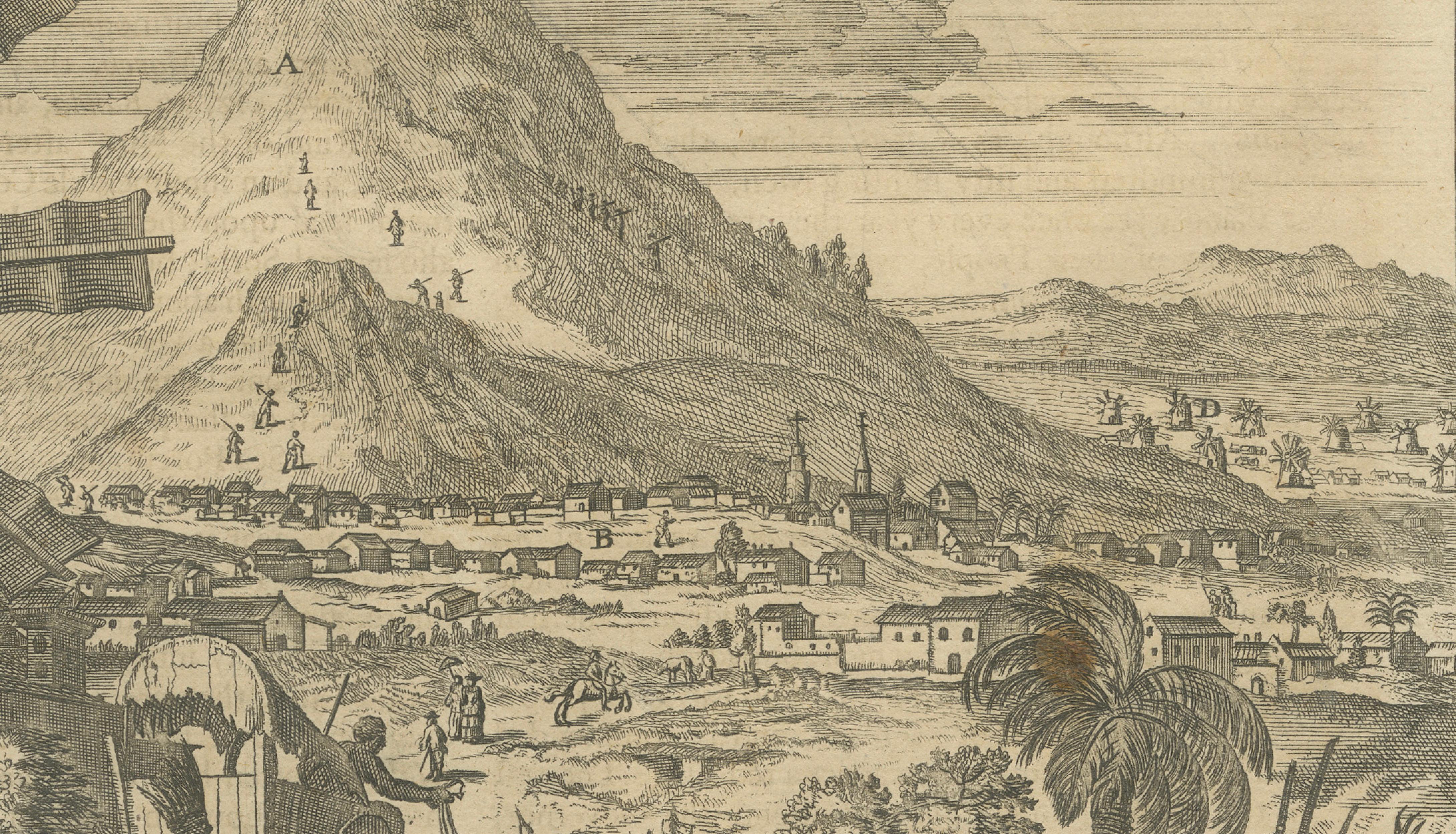
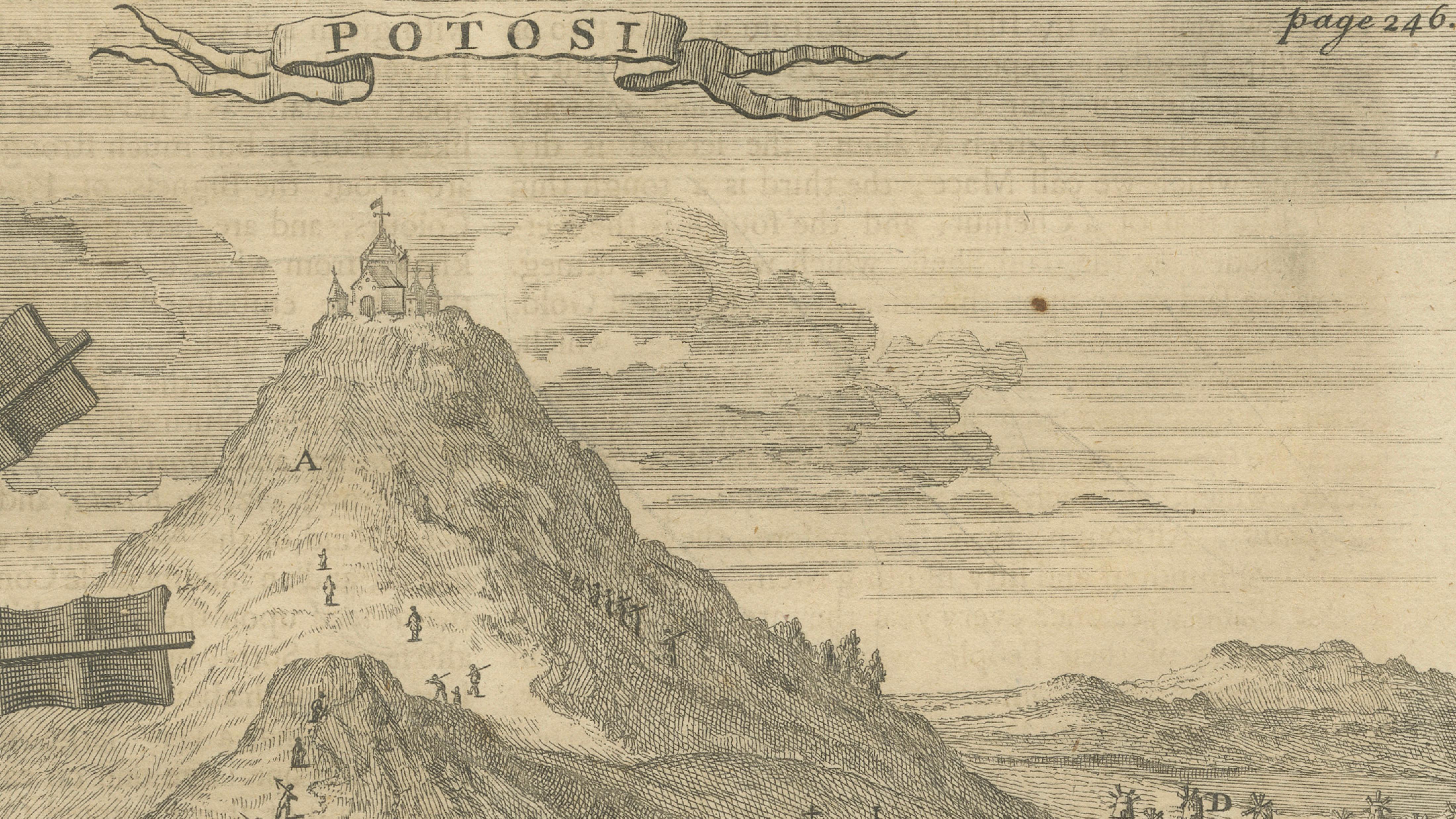
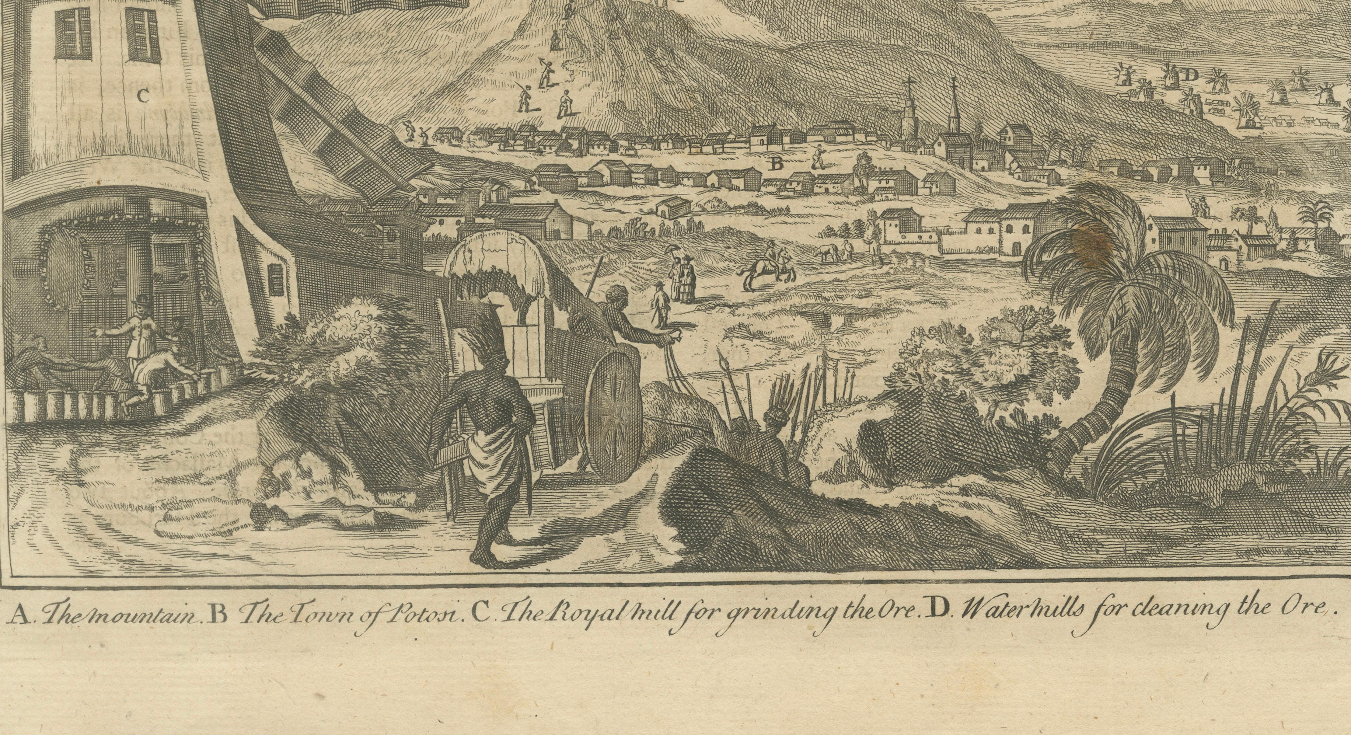
The lower image depicts Potosí, dominated by the Cerro Rico, the silver-rich mountain that made the city one of the wealthiest in the world during the 16th–18th centuries. The engraving illustrates mining activity and ore processing, including windmills and watermills used for grinding and cleaning silver ore, as explained in the engraved caption. The town spreads across the foothills below, conveying both the scale of the settlement and the industrial nature of its economy.
Together, these images provide a valuable contemporary European view of Spanish colonial administration and resource extraction in South America. The sheet is both historically informative and visually engaging, appealing to collectors of early city plans, colonial Latin American history, and mining or economic history.
Condition report: Overall age-related toning and light surface wear. Original folds as issued. Some edge wear and small handling marks, consistent with use in a bound volume.
Framing tips: Float-mount with a warm ivory mat to preserve the full margins and printed captions. A simple dark wood or black frame complements the fine line engraving and documentary character.
Technique: Copper engraving Maker: Unknown Date: circa mid-18th century