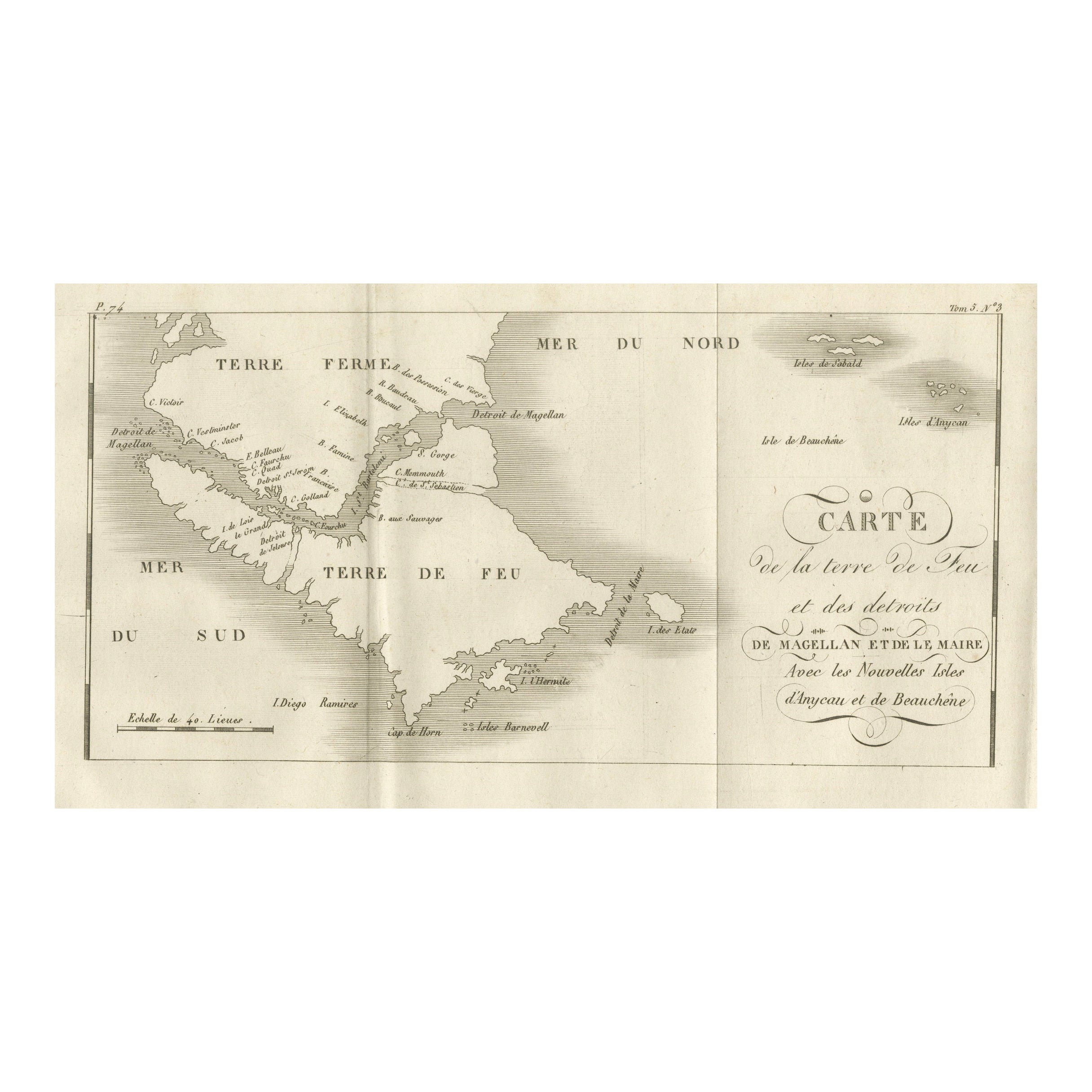
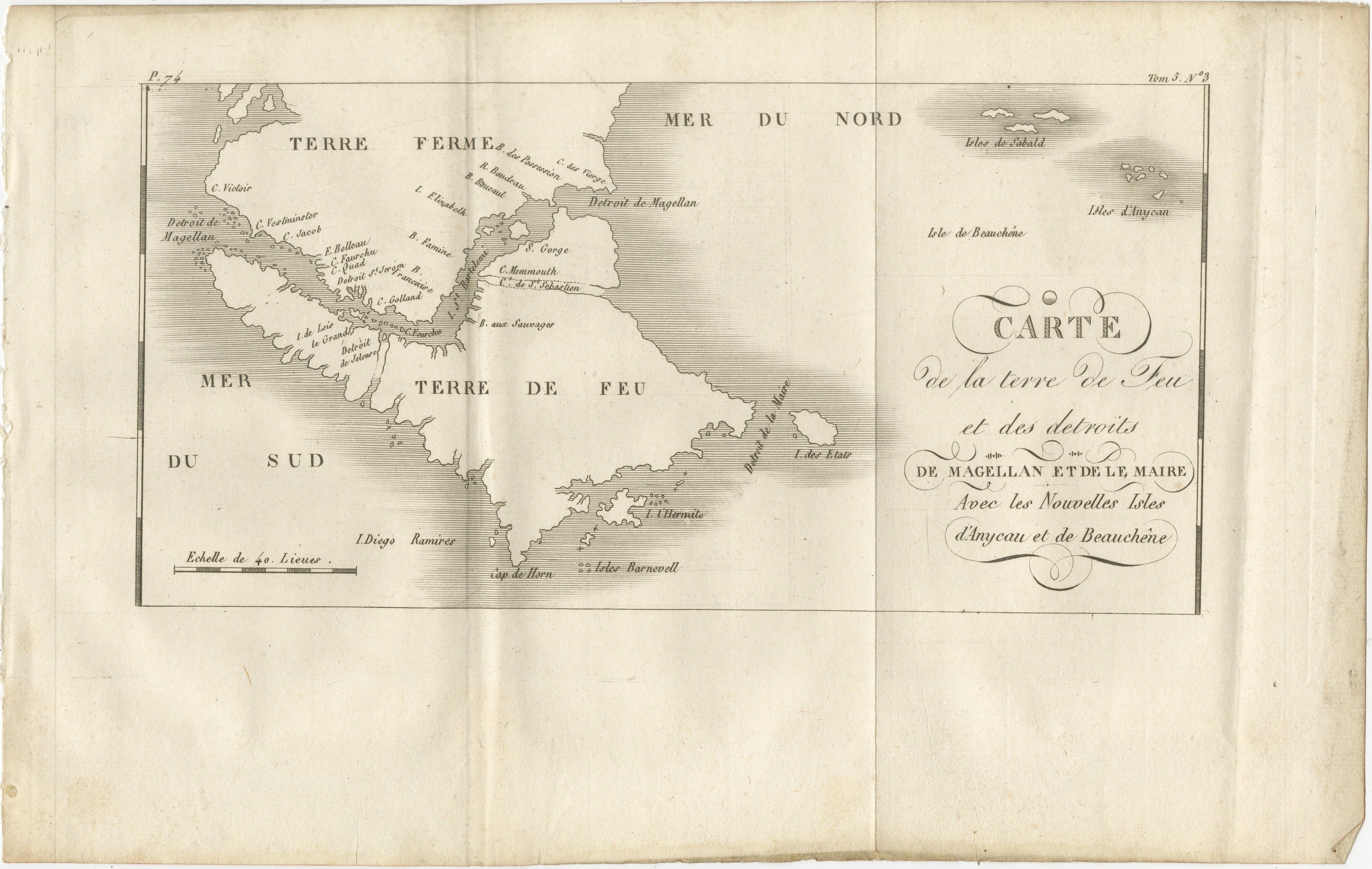
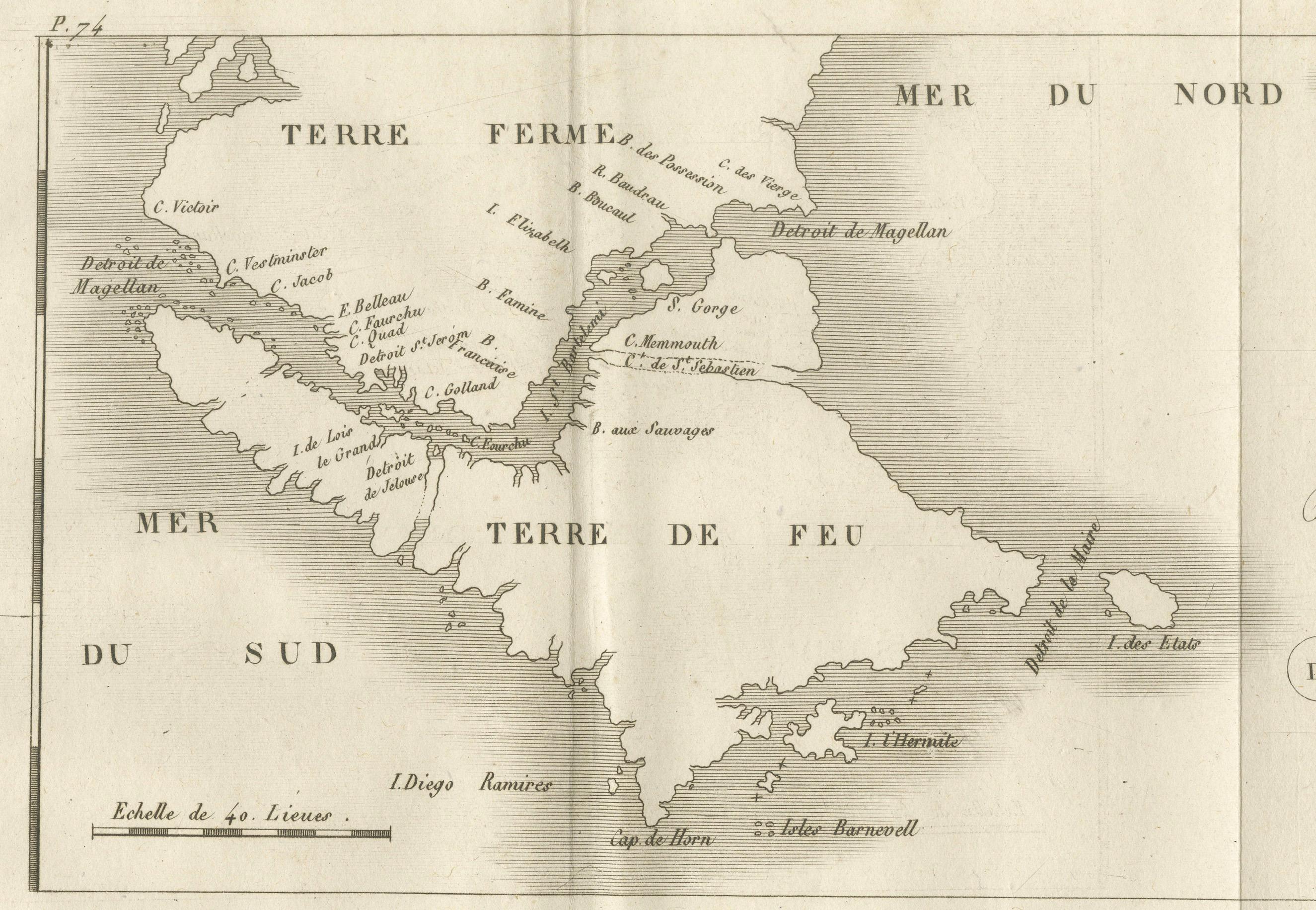
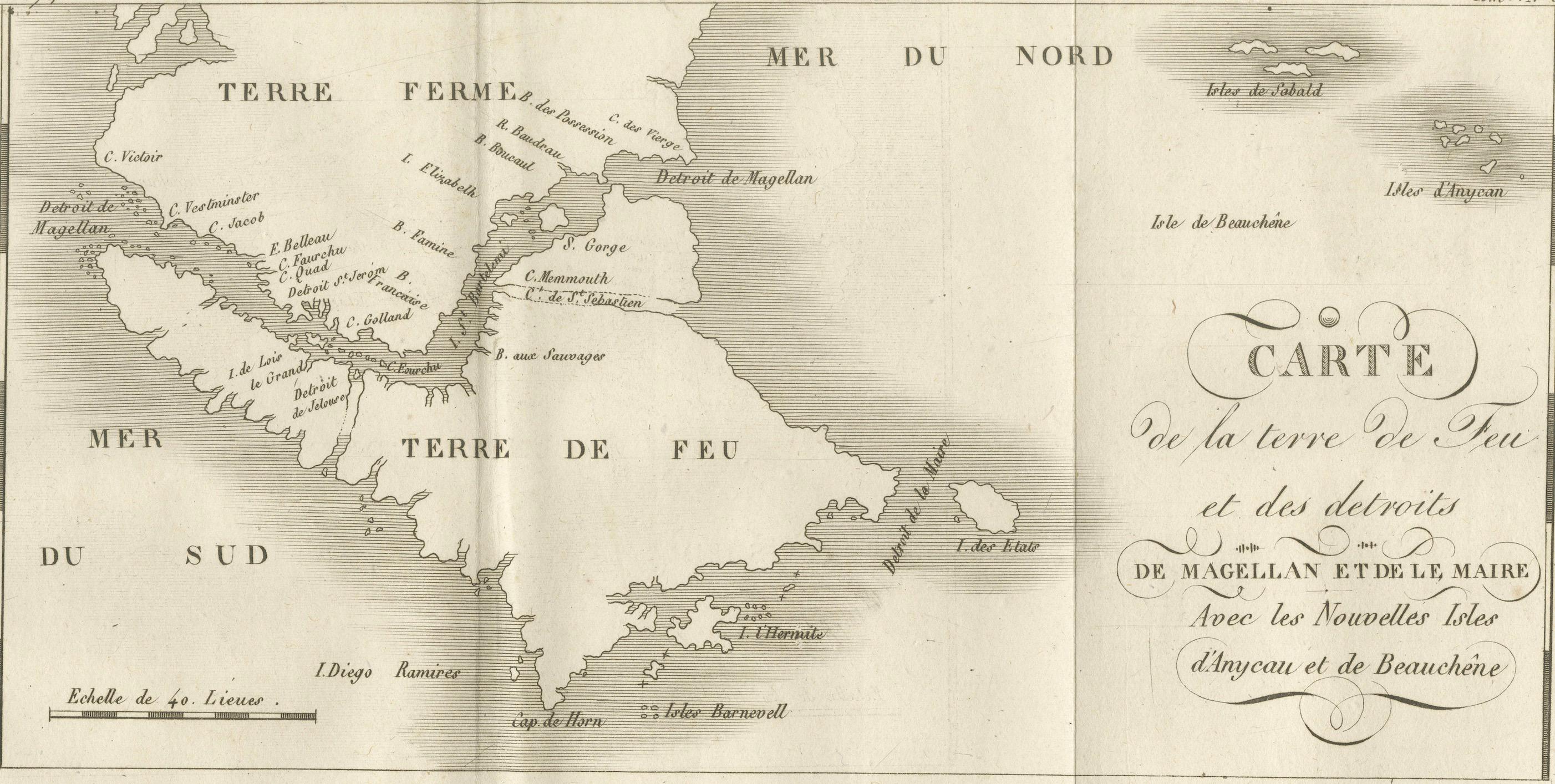
Map of Tierra del Fuego and the Straits of Magellan and Le Maire, c.1760
€ 340
One of a kind: this is the sheet in the photographs. Ships from Langweer, the Netherlands.
Date
1760
Sheet size
20 × 31.5 cm (7.9 × 12.4 in)
Reference
BG-14078-36
Condition
Very good for age, with a central fold as issued. Slight toning and minor creasing in margins. Strong plate impression with sharp coastal detail.
About this sheet
Map of Tierra del Fuego and the Straits of Magellan and Le Maire, c.1760
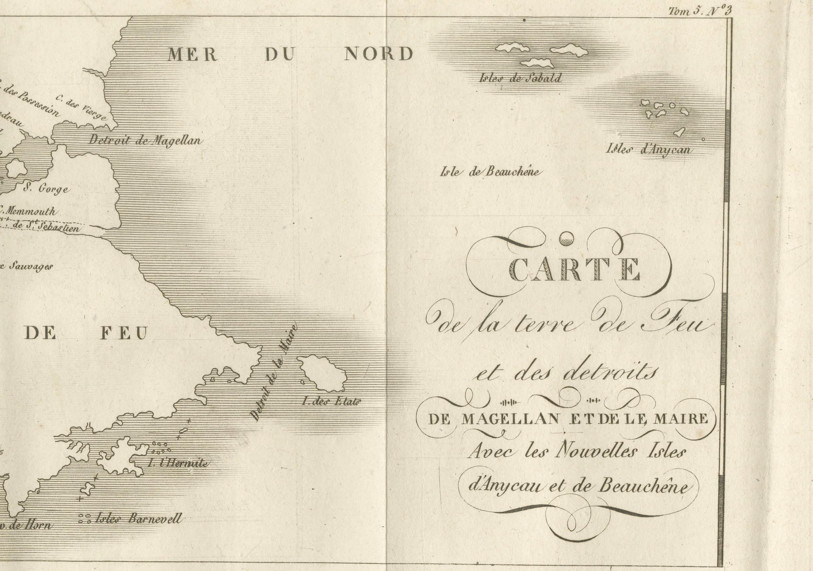
This 18th-century copperplate map, titled Carte de la Terre de Feu et des Détroits de Magellan et de le Maire avec les Nouvelles Isles d’Anycao et de Beauchêne, depicts the southernmost extremity of South America. It includes Tierra del Fuego (*Terre de Feu*), the Strait of Magellan, the Strait of Le Maire, and surrounding islands.
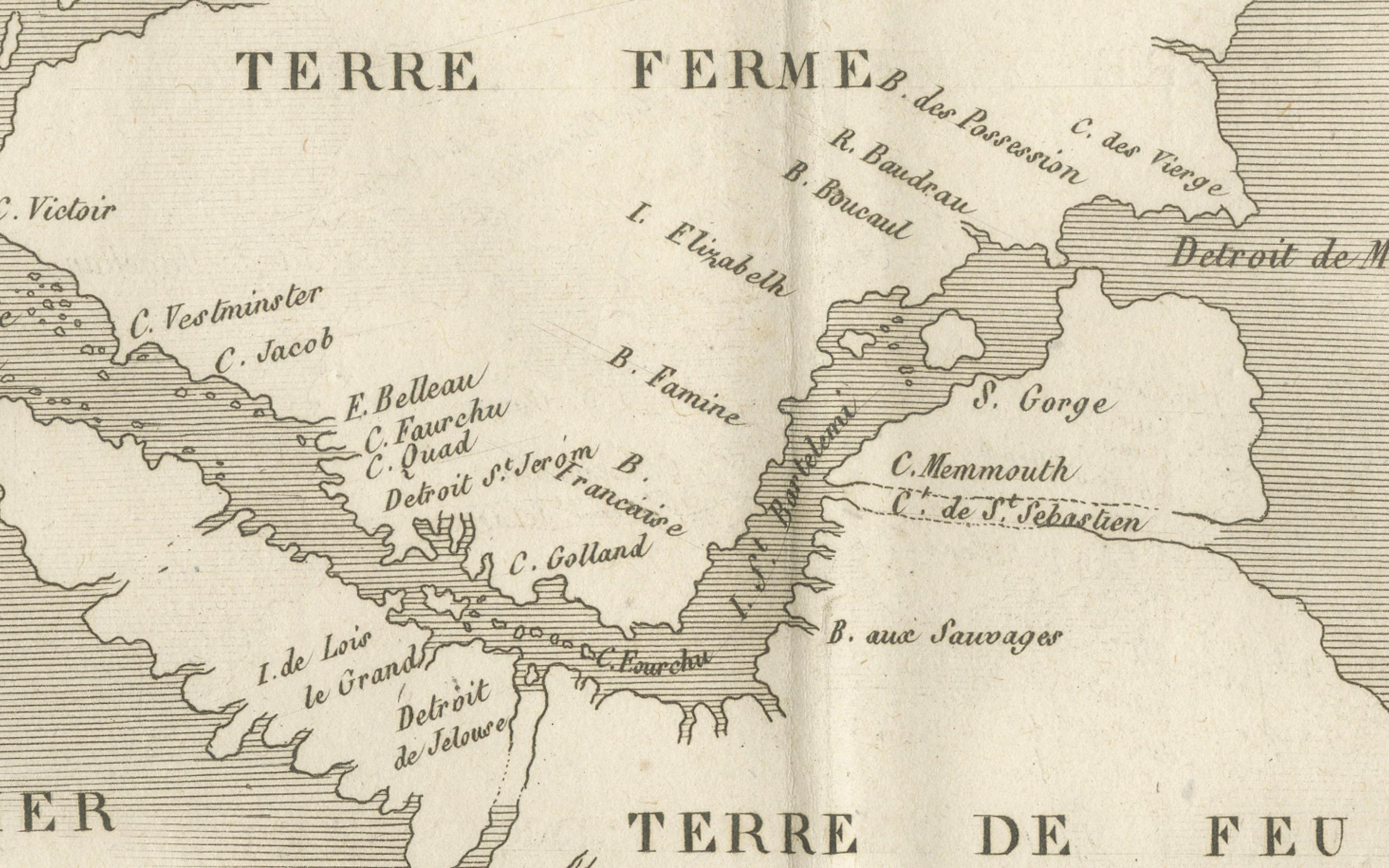
The western part of the map shows the entrance to the Strait of Magellan from the Pacific (Mer du Sud), with points and capes such as C. Victoire, C. Froward, and C. Galland labeled. The eastern section presents the open Atlantic (Mer du Nord) with islands including the Isles d’Anycao, Isles de Beauchêne, Isle de Sable, Isle de l’État, and Isle Barnevelt. The southern limit features Cape Horn (Cap de Horn) and the Diego Ramirez Islands.
Coastal features are carefully delineated, reflecting European navigational interest in this strategic maritime passage linking the Atlantic and Pacific Oceans before the construction of the Panama Canal. By the mid-18th century, the Straits of Magellan were a key route for European exploration and trade with the Pacific, though the treacherous conditions led some navigators to prefer the open sea route around Cape Horn.
The decorative title cartouche occupies the right side of the map, while the lower left contains a scale of 40 leagues. Marked “Tome 5, N° 3” in the upper right, the plate comes from an Enlightenment-era geographic and exploration series documenting significant maritime routes.
Condition: Very good for age, with a central fold as issued. Slight toning and minor creasing in margins. Strong plate impression with sharp coastal detail.
Framing tips: A black or dark walnut frame with an ivory or cream mount will emphasize the fine engraved lines. This map pairs well with other 18th-century maritime charts of South America or Antarctic-adjacent regions.
Technique: Copperplate engraving Maker: French school, c.1760