Maps & PrintsBartele Gallery · Langweer
Home / Antique Maps / America

America · 19th century

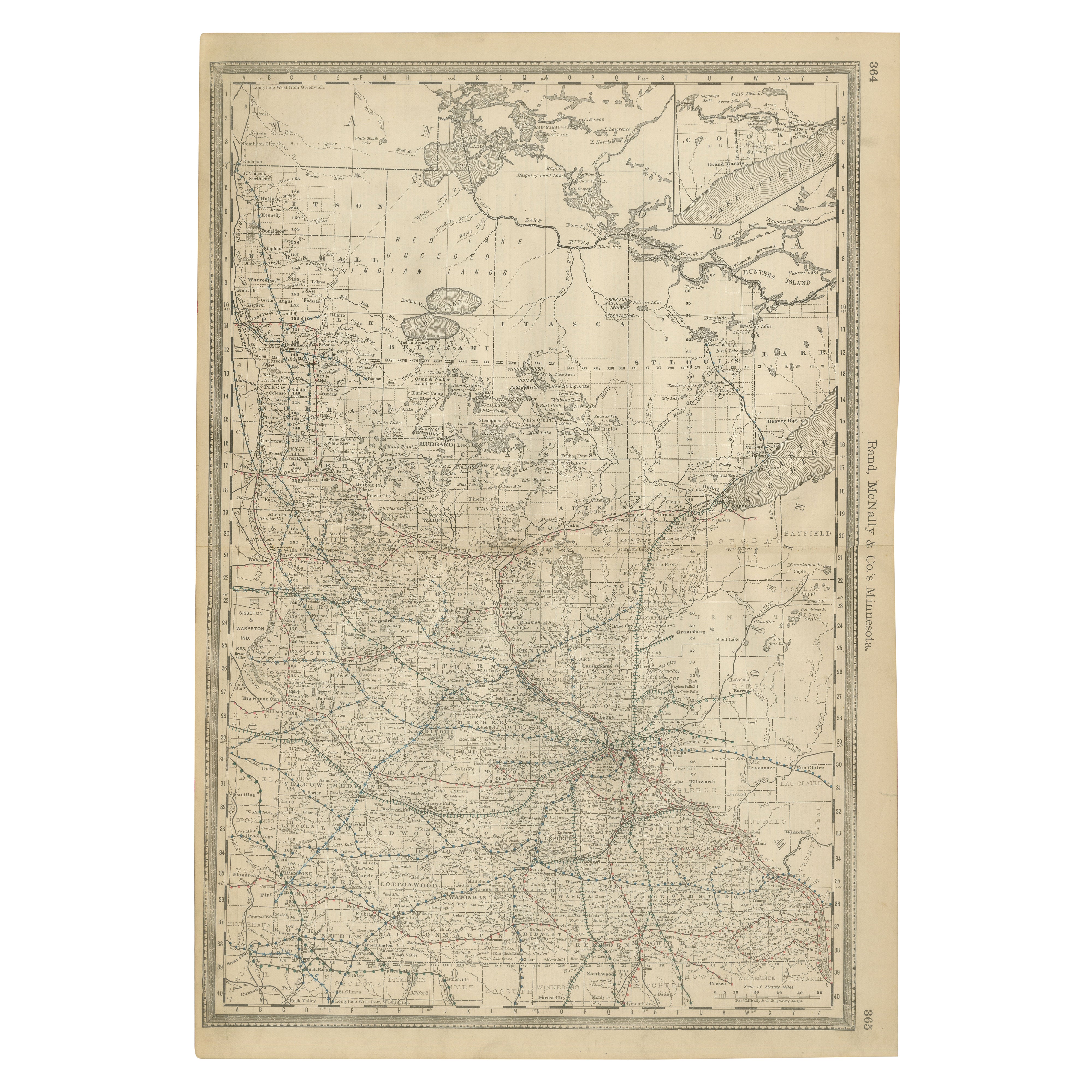
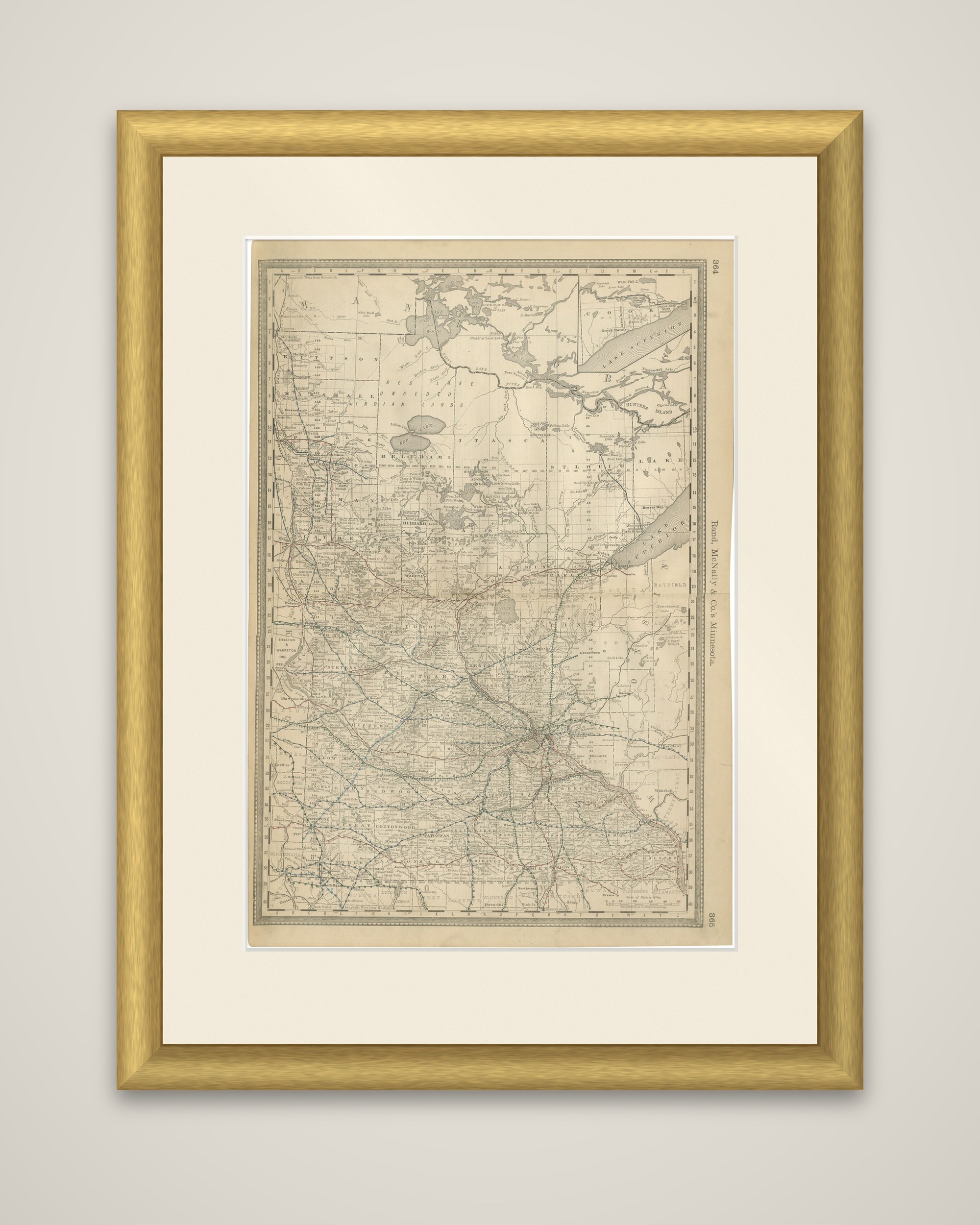
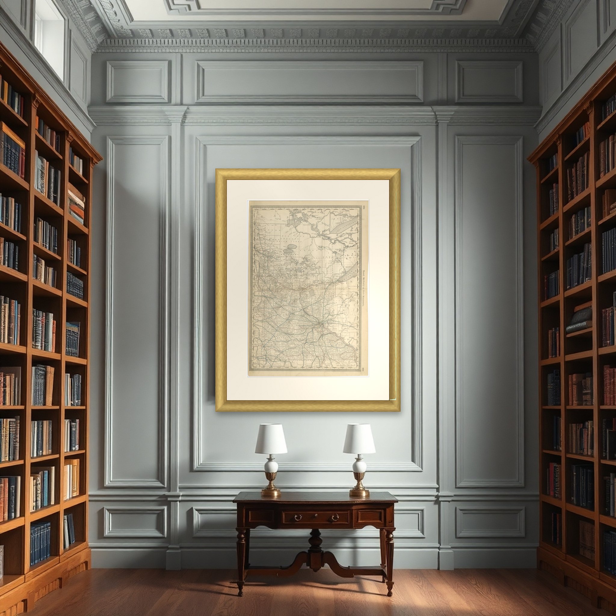
Antique Minnesota Map Wall Art by Rand McNally, Color Lithograph, 1888

€ 340

Original antique · The actual sheet photographed · Certificate of authenticity on request · Sold unframed · Worldwide shipping from € 15 (rates)

Date
1888
Sheet size
52.5 × 36 cm (20.7 × 14.2 in)
Condition
Good
Reference
BG-12794-71
What the condition grades mean
Excellent
Bright and clean, with no faults worth mentioning.
Very good
Only light signs of age, such as faint toning.
Good
Normal signs of age for a sheet of this period: toning, some foxing, small marks or neat old repairs.
Fair
Clear faults such as staining, tears or repairs, priced to match.

Every fault we see is written in the condition note, and the whole sheet is shown uncropped in the photos.

Condition

Light age toning consistent with age. Minor edge wear and small handling marks from original atlas binding. Overall clean and well preserved. Folding line as issued.

About this sheet

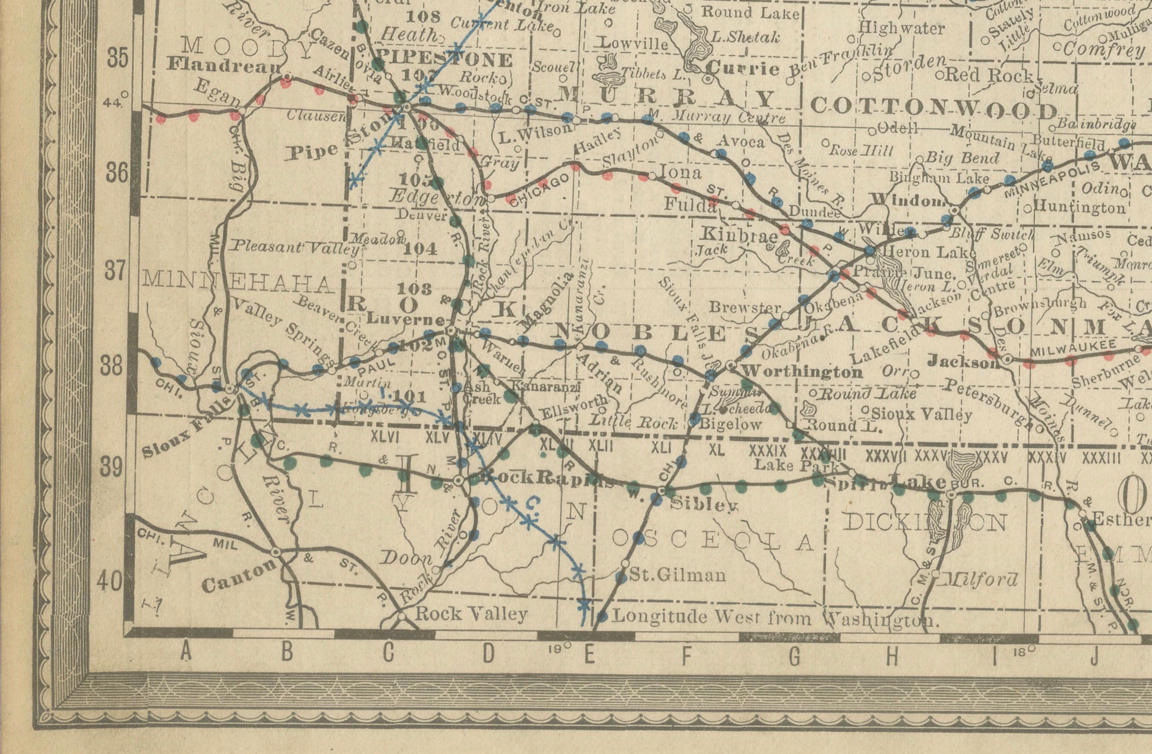
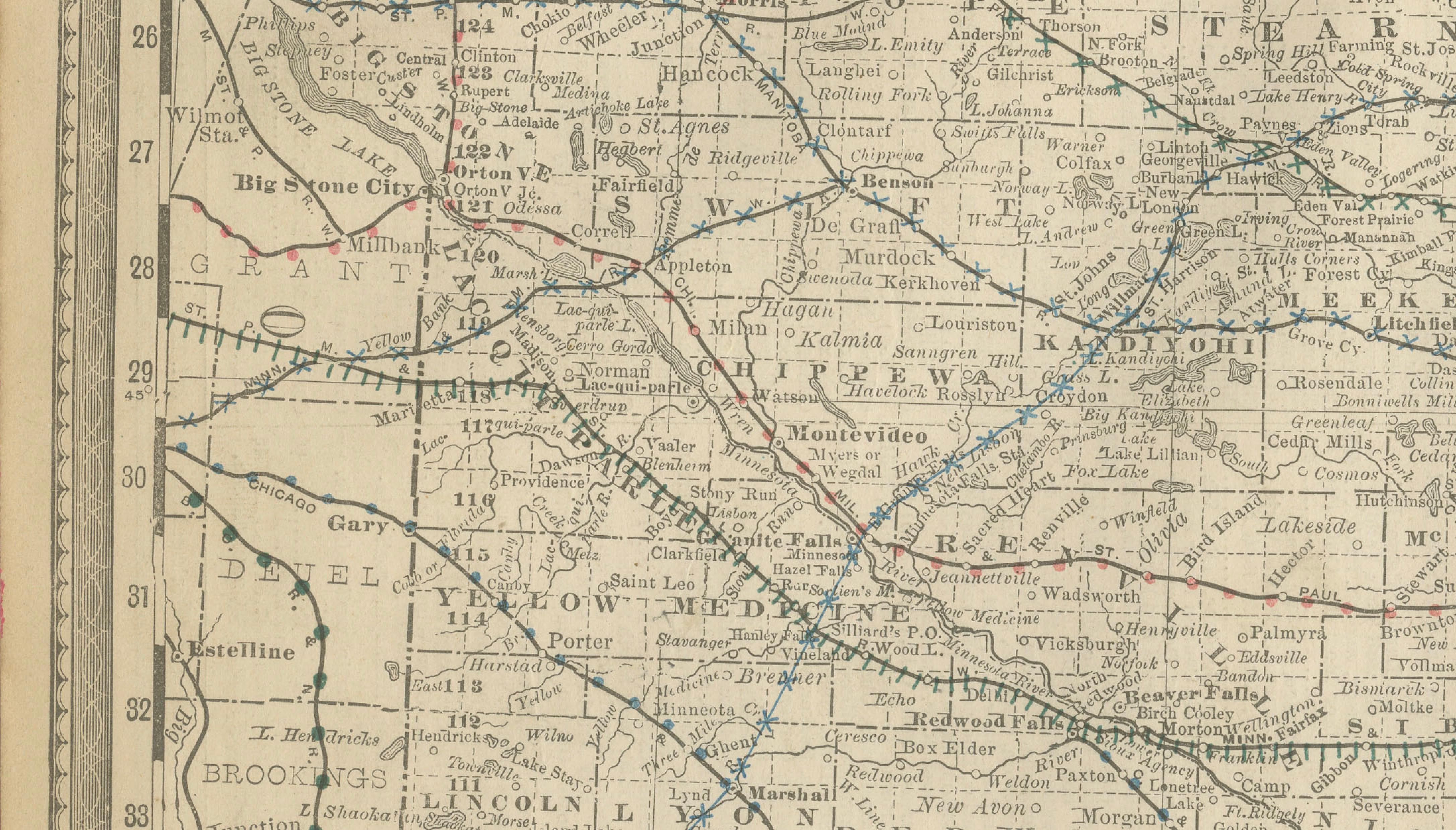
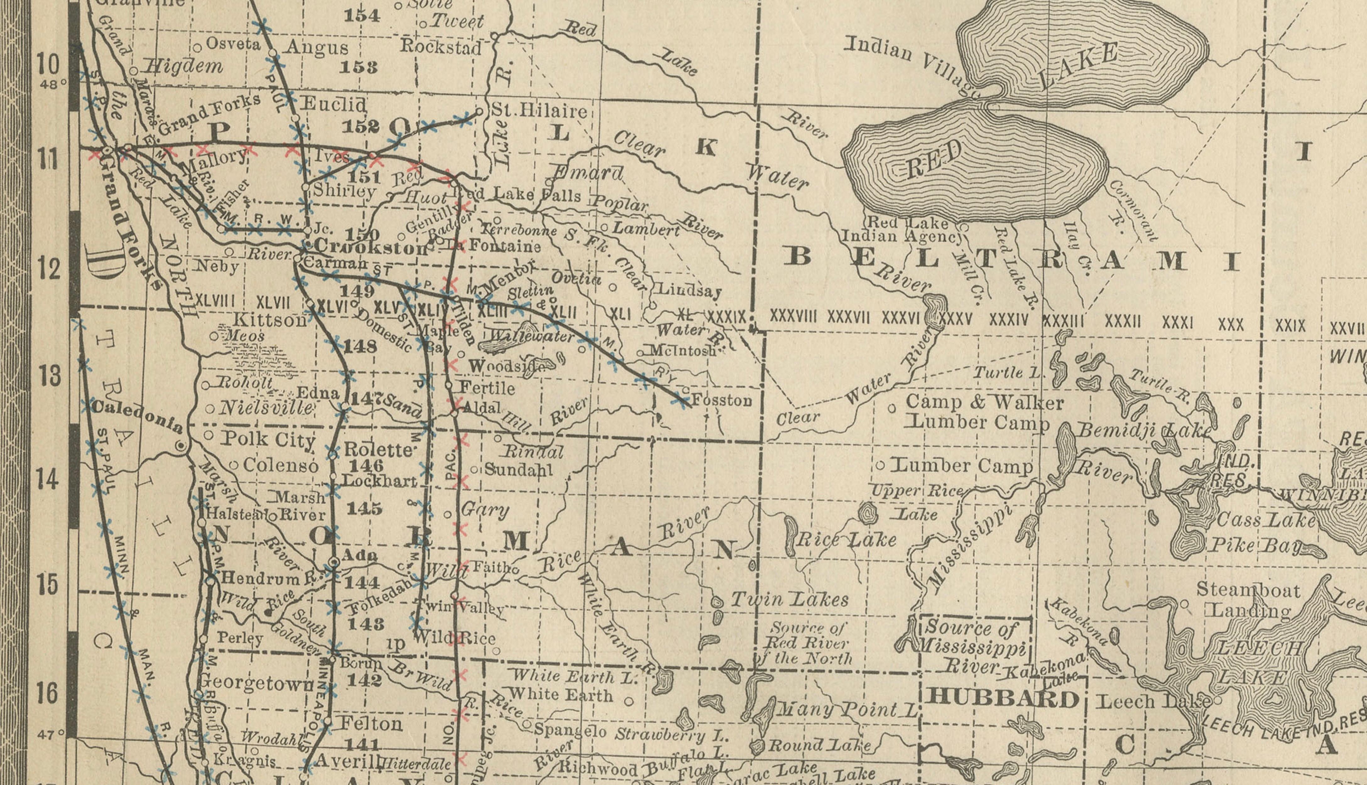
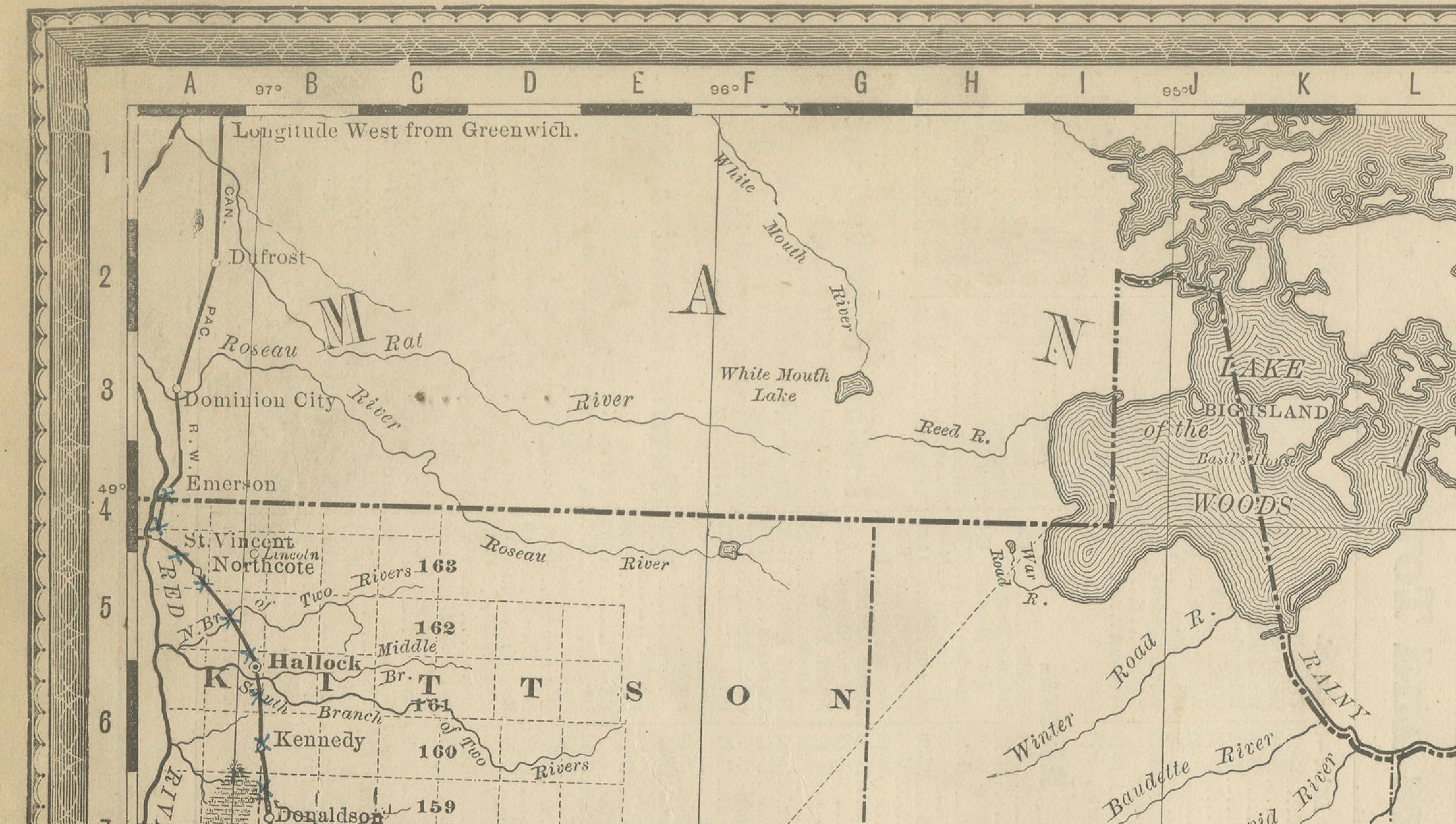
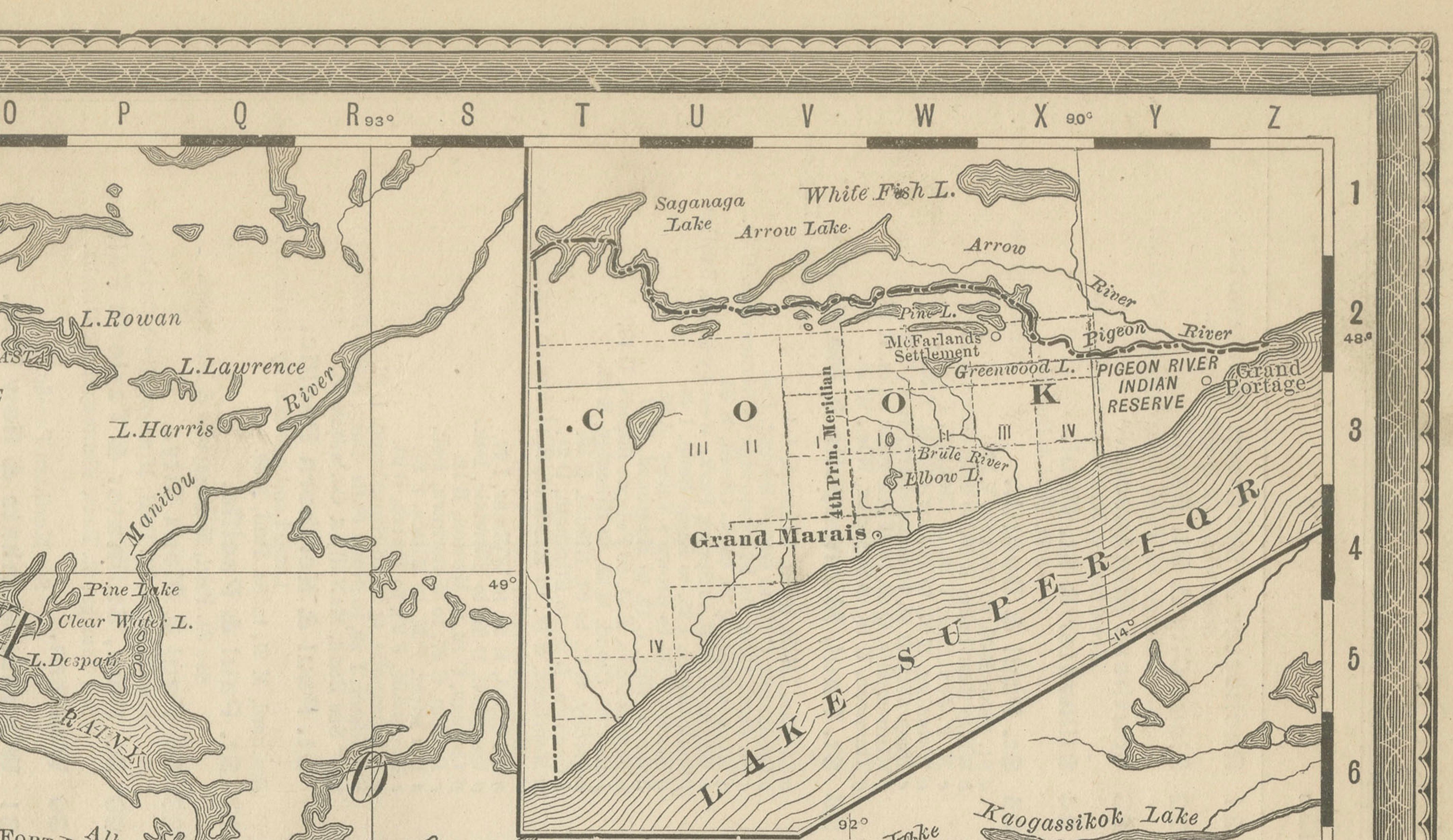
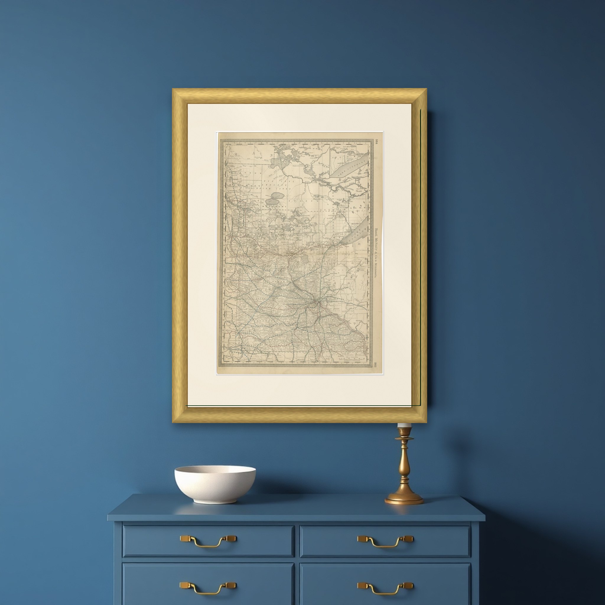
Minnesota on a two-page spread from Rand, McNally and Co.'s atlas, lettered "Rand, McNally & Co.'s Minnesota" and numbered 364 and 365, printed in black with railroads in color, c.1888.

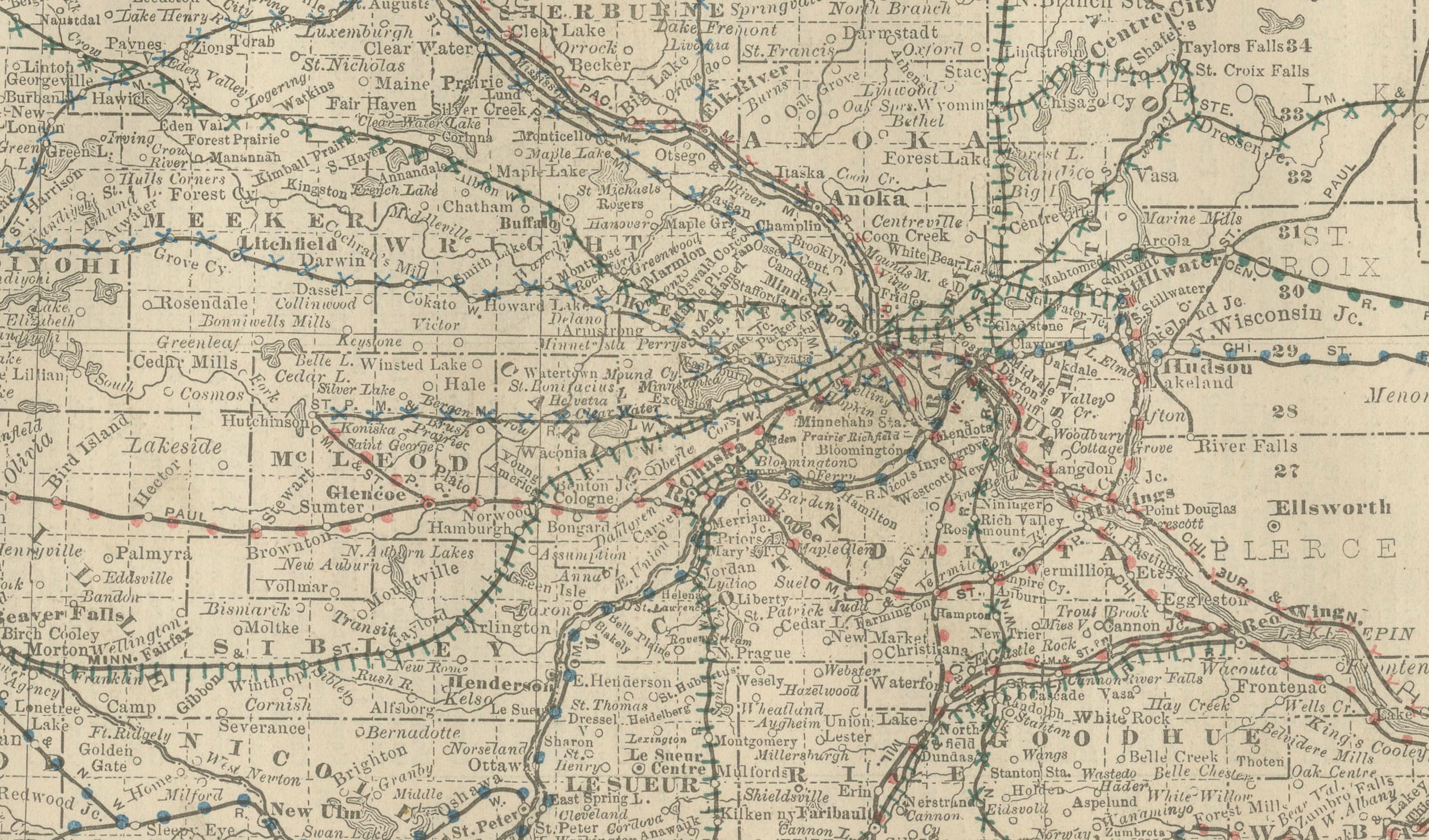
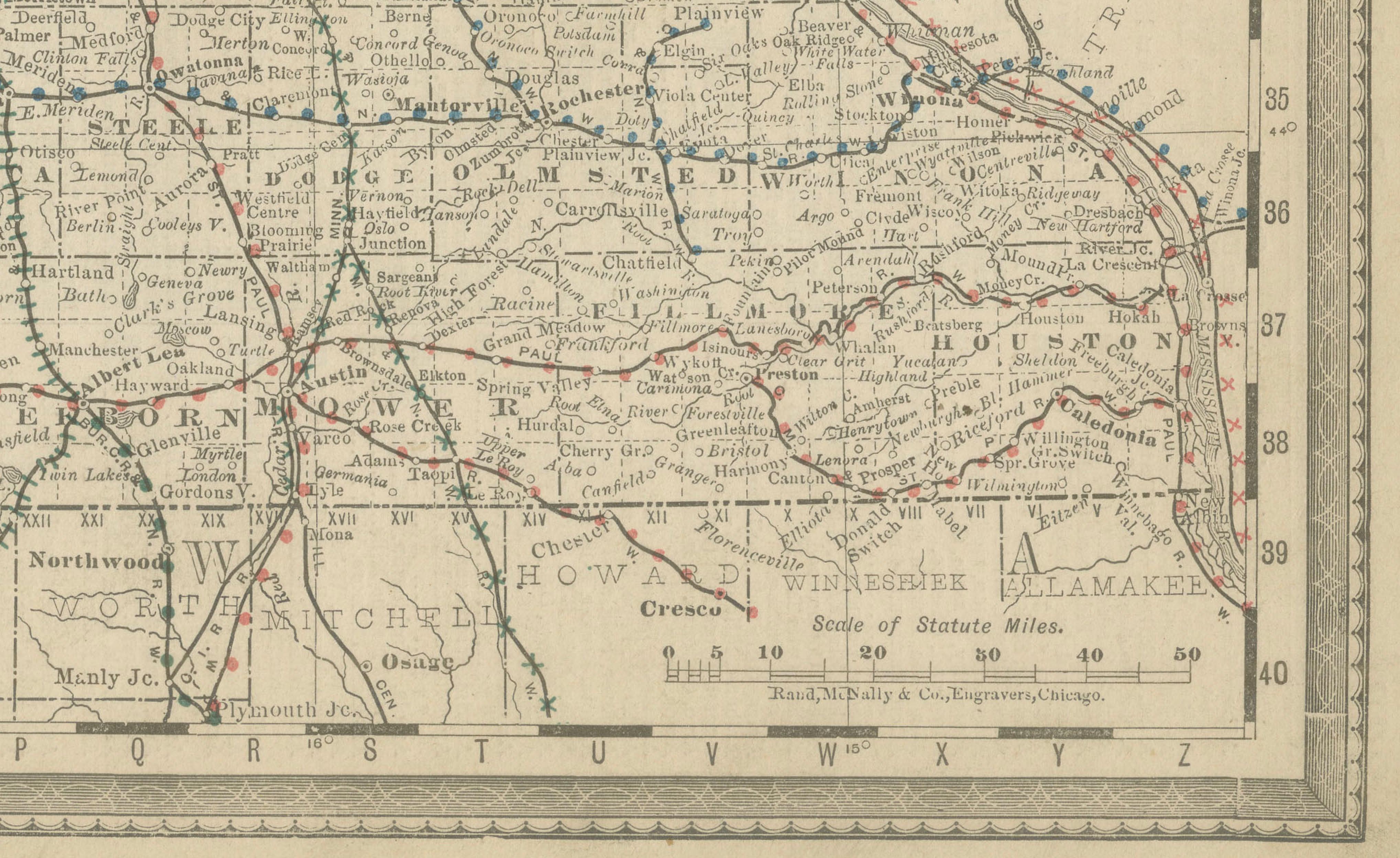
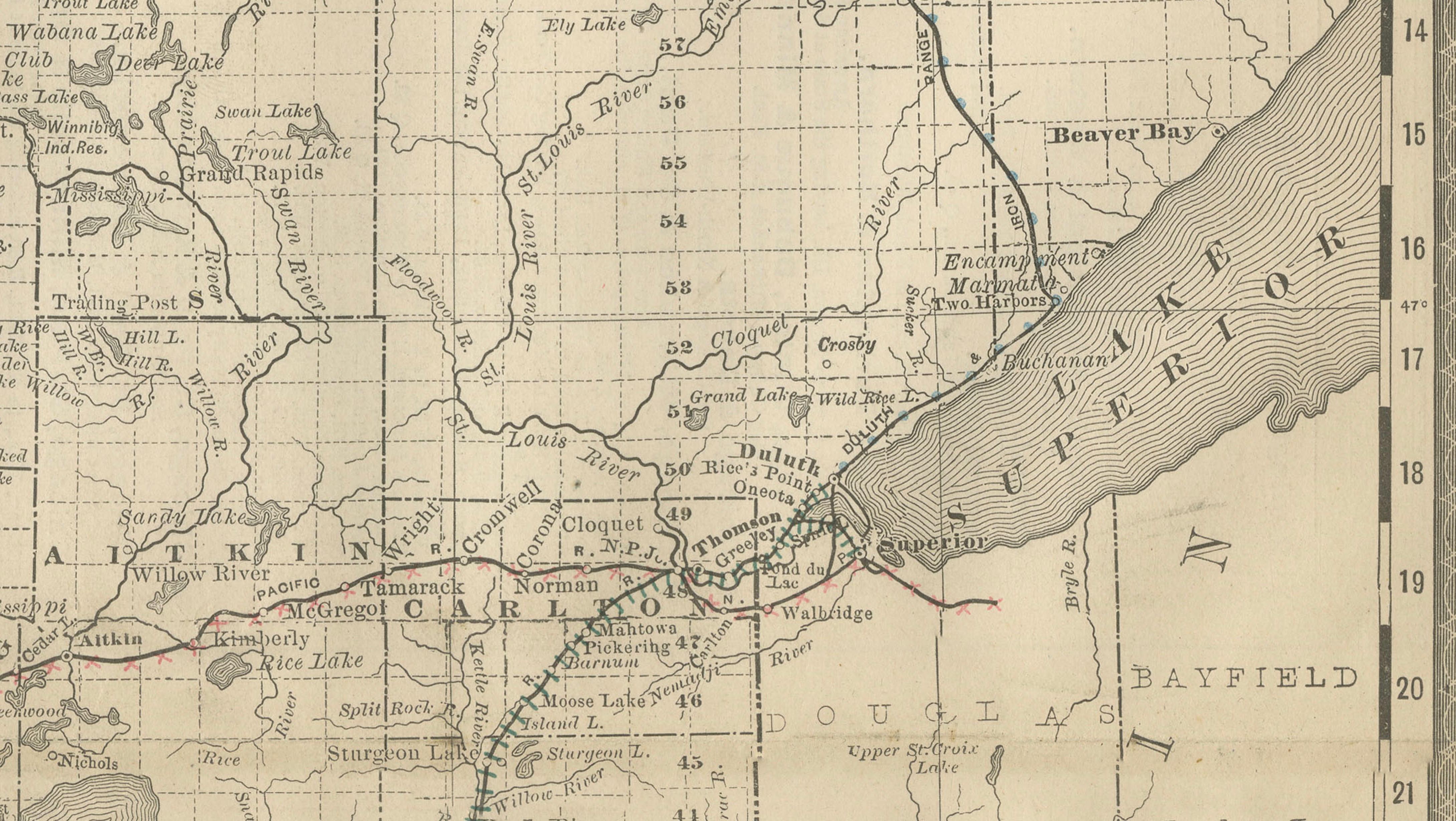
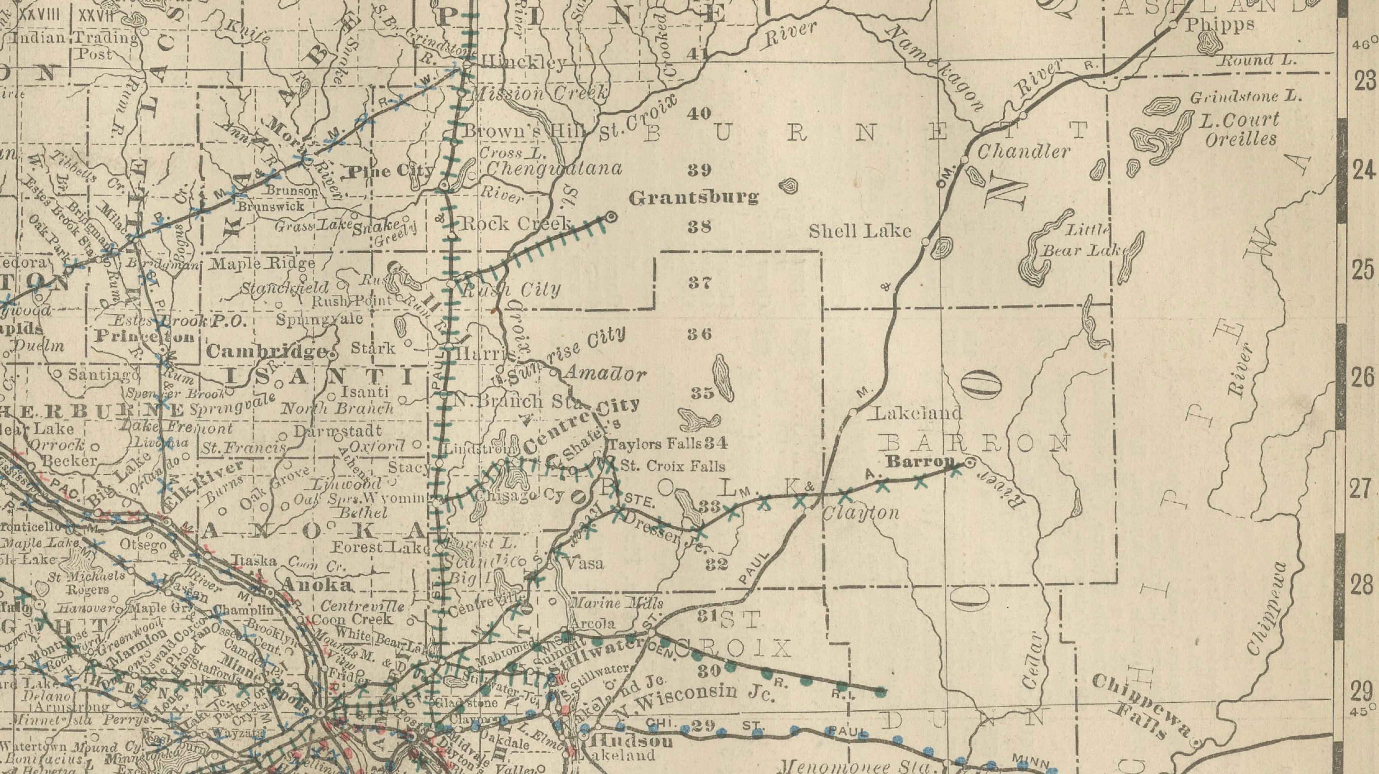
The state is drawn in full from the northern border to Iowa, with its counties lettered in capitals and a heavy mesh of railroad lines, in black, red and blue, converging on the Twin Cities at the center and running out across the southern half. Lakes fill the north: Red Lake and the Lake of the Woods region are drawn in gray, with Mille Lacs lower down, and the long arm of Lake Superior lies at the right, with a small inset in the upper right corner. The Mississippi can be followed across the state from its upper reaches to the southeast corner.

The old description names Minneapolis, St. Paul, Duluth, Rochester, Mankato, St. Cloud, Brainerd and Winona among the towns. The rail net reflects the way the wheat lands of the south and west, and the northern timber and iron districts, were tied to the Twin Cities in the 1880s.

More from America

Ask about this sheet

Antique Minnesota Map Wall Art by Rand McNally, Color Lithograph, 1888
1888 · Ref. BG-12794-71 · € 340
We reply by email, usually within one working day.

Your favorites

Saved in this browser. Email the list to yourself to keep it on any device.

We use your email to send this list and, only if you tick the box and confirm, for occasional new arrivals. Every email has an unsubscribe link. Bartele Gallery, the Netherlands.