Maps & PrintsBartele Gallery · Langweer
Home / Antique Maps / Sea Charts

Sea Charts

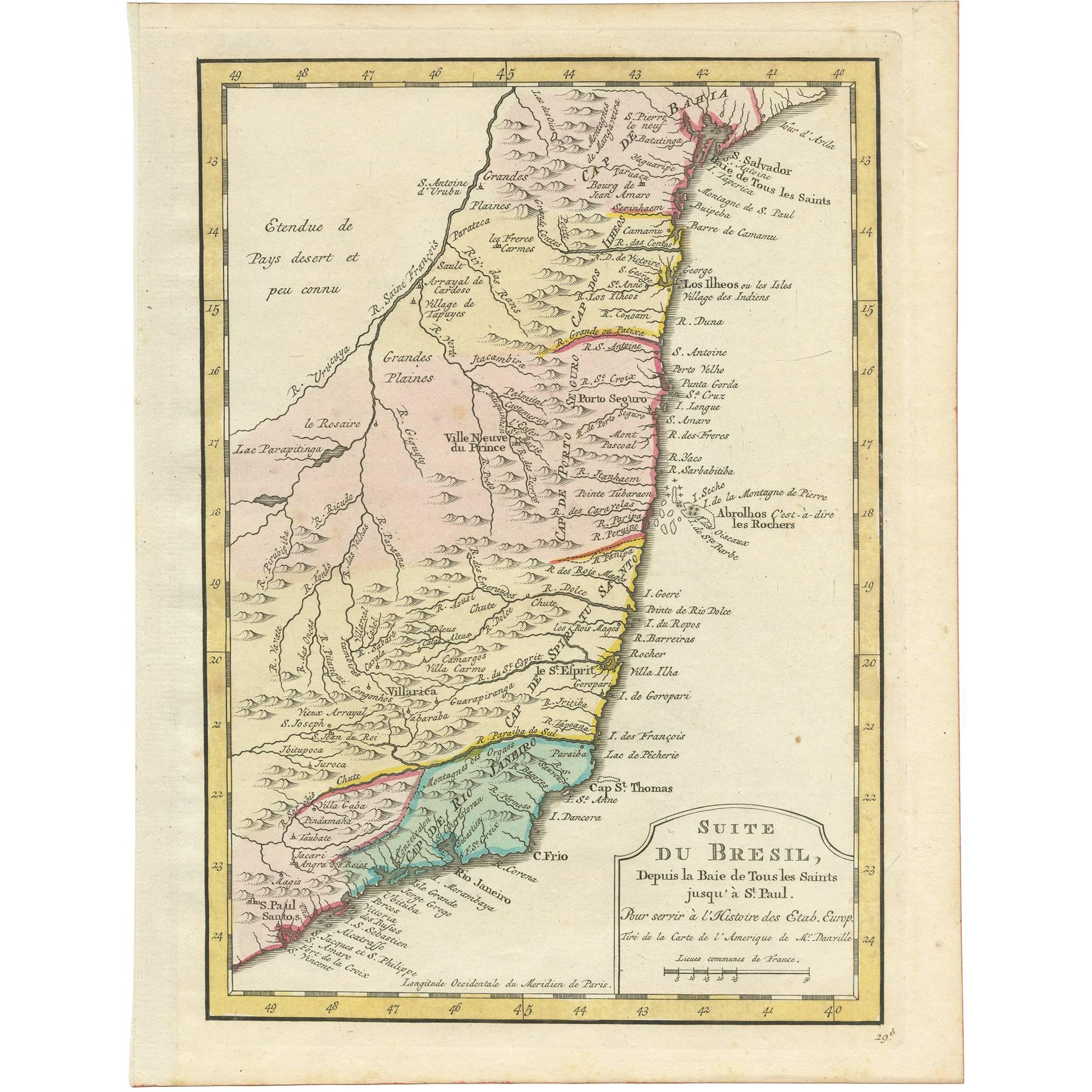
Antique Map of the Brazilian Coast by A. Van Krevelt

€ 350

One of a kind: this is the sheet in the photographs. Ships from Langweer, the Netherlands.

Sheet size
26.2 × 20 cm (10.3 × 7.9 in)
Condition
Good
Reference
BG-03449

Condition

Please study image carefully.
About this sheet

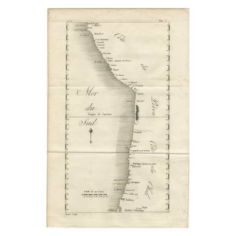
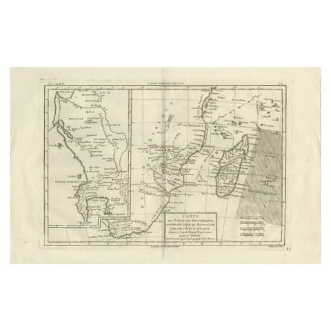
Uncommon edition of this accurate map of part of Brazil, from San Salvador till Rio de Janeiro and S.Paulo. In lower right engraved "29b." Originates from 'Atlas Portatif pour servir a l'intelligence de l'Histoire Philosophique et Politique des etablissements et du commerce des Europe'ens dans les deux Indes'. Engraved by A.van Krevelt in 1772. Prepared by Jean Baptiste Bourguignon d'Anville (1697-1782).

More from Sea Charts

Ask about this sheet

Antique Map of the Brazilian Coast by A. Van Krevelt
Ref. BG-03449 · € 350
We reply by email, usually within one working day.