Maps & PrintsBartele Gallery · Langweer
Home / Antique Maps / America / South America

South America

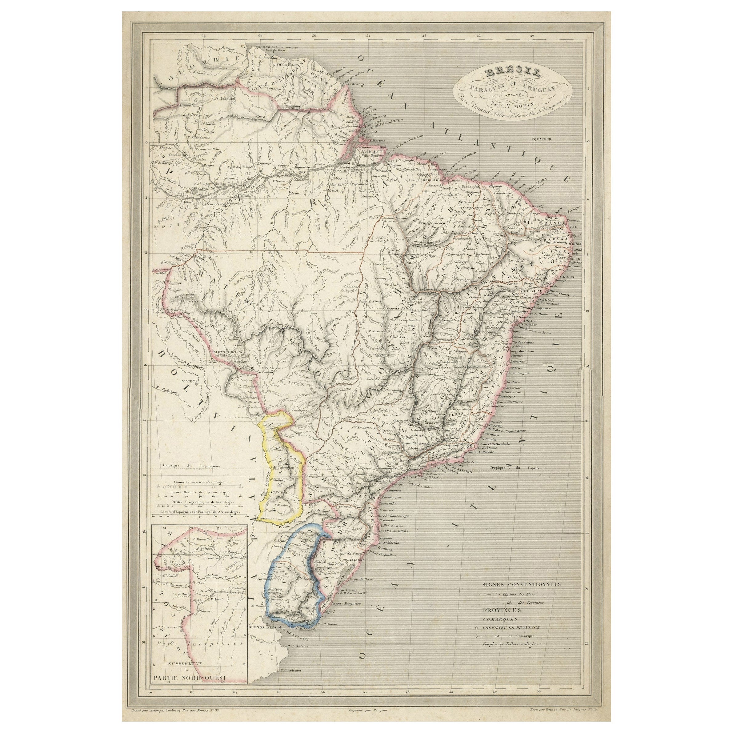
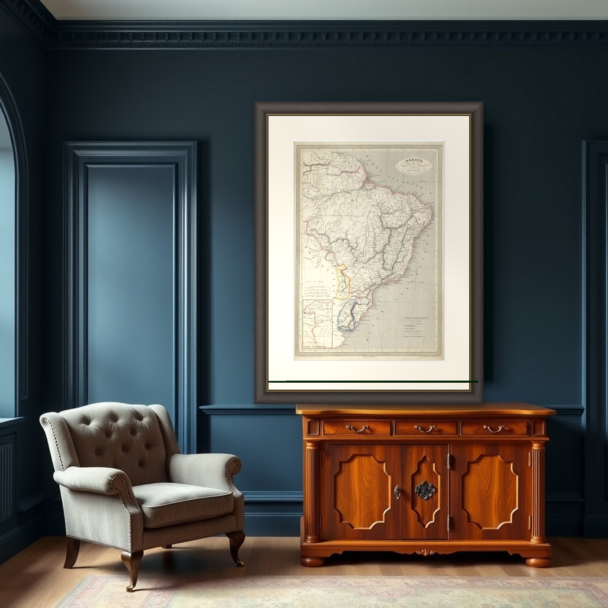
Antique Map of of Brazil, Paraguay and Uruguay

€ 340

Original antique · The actual sheet photographed · Certificate of authenticity on request · Sold unframed · Worldwide shipping from € 15 (rates)

Sheet size
50 × 32.8 cm (19.7 × 12.9 in)
Condition
Fair
Reference
BG-13193-1
What the condition grades mean
Excellent
Bright and clean, with no faults worth mentioning.
Very good
Only light signs of age, such as faint toning.
Good
Normal signs of age for a sheet of this period: toning, some foxing, small marks or neat old repairs.
Fair
Clear faults such as staining, tears or repairs, priced to match.

Every fault we see is written in the condition note, and the whole sheet is shown uncropped in the photos.

Condition

Repaired. Wear consistent with age and use. General age-related toning. Shows wear and soiling. Minor foxing. Repair on two small tears in bottom margin. Blank verso. Please review the images for further condition details.
About this sheet

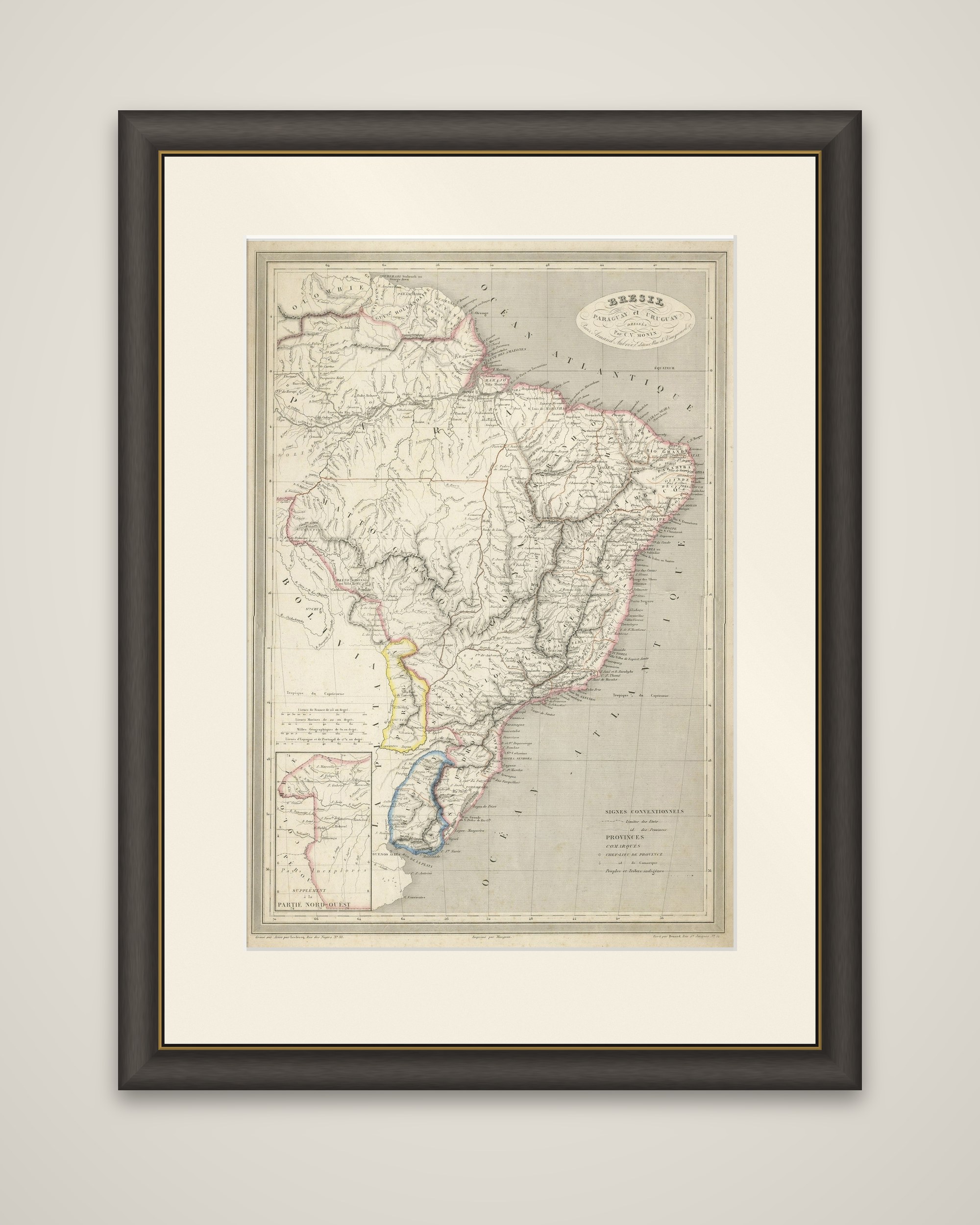
Brazil, Paraguay and Uruguay on a steel-engraved sheet titled "Bresil Paraguay et Uruguay", published in Paris by Armand Aubree in his Atlas Classique et Universel de Geographie Ancienne et Moderne in 1837. The map was engraved by Leclercq, with C.V. Monin credited as an engraver as well, and is lightly tinted in outline color.

The sheet covers South America east of the Andes, from the Guianas in the north to the Rio de la Plata. Brazil's provinces are outlined in pink, Paraguay in yellow and Uruguay, then the Banda Oriental, in blue. Rivers are drawn in great detail, among them the Amazon and its tributaries, the Tocantins, the Sao Francisco and the Parana, and the long Atlantic coast is lettered with ports and capes. Neighboring Bolivia, Peru and Guiana are named at the margins. An inset at the lower left, titled "Supplement a la Partie Nord Ouest", continues the map of the northwest on a smaller scale, and a key of conventional signs explains the symbols for provinces, mines and towns.

The sheet shows Brazil in the years after independence in 1822, when the empire's provincial boundaries and the new republics around it were still being settled.

More from South America

Ask about this sheet

Antique Map of of Brazil, Paraguay and Uruguay
Ref. BG-13193-1 · € 340
We reply by email, usually within one working day.

Your favorites

Saved in this browser. Email the list to yourself to keep it on any device.

We use your email to send this list and, only if you tick the box and confirm, for occasional new arrivals. Every email has an unsubscribe link. Bartele Gallery, the Netherlands.