Canada Dominion Map 1903 - A Detailed View of Eastern Canada and Newfoundland
€ 340
Original antique · The actual sheet photographed · Certificate of authenticity on request · Sold unframed · Worldwide shipping from € 15 (rates)
Date
1903
Sheet size
36.8 × 47 cm (14.5 × 18.5 in)
Condition
Good
Reference
BG-13577-41
What the condition grades mean
Excellent
Bright and clean, with no faults worth mentioning.
Very good
Only light signs of age, such as faint toning.
Good
Normal signs of age for a sheet of this period: toning, some foxing, small marks or neat old repairs.
Fair
Clear faults such as staining, tears or repairs, priced to match.
Every fault we see is written in the condition note, and the whole sheet is shown uncropped in the photos.
Condition
This map is in very good condition, with some minor foxing and small creases typical of antique maps. The paper is strong, and the colors remain clear and vibrant.
About this sheet
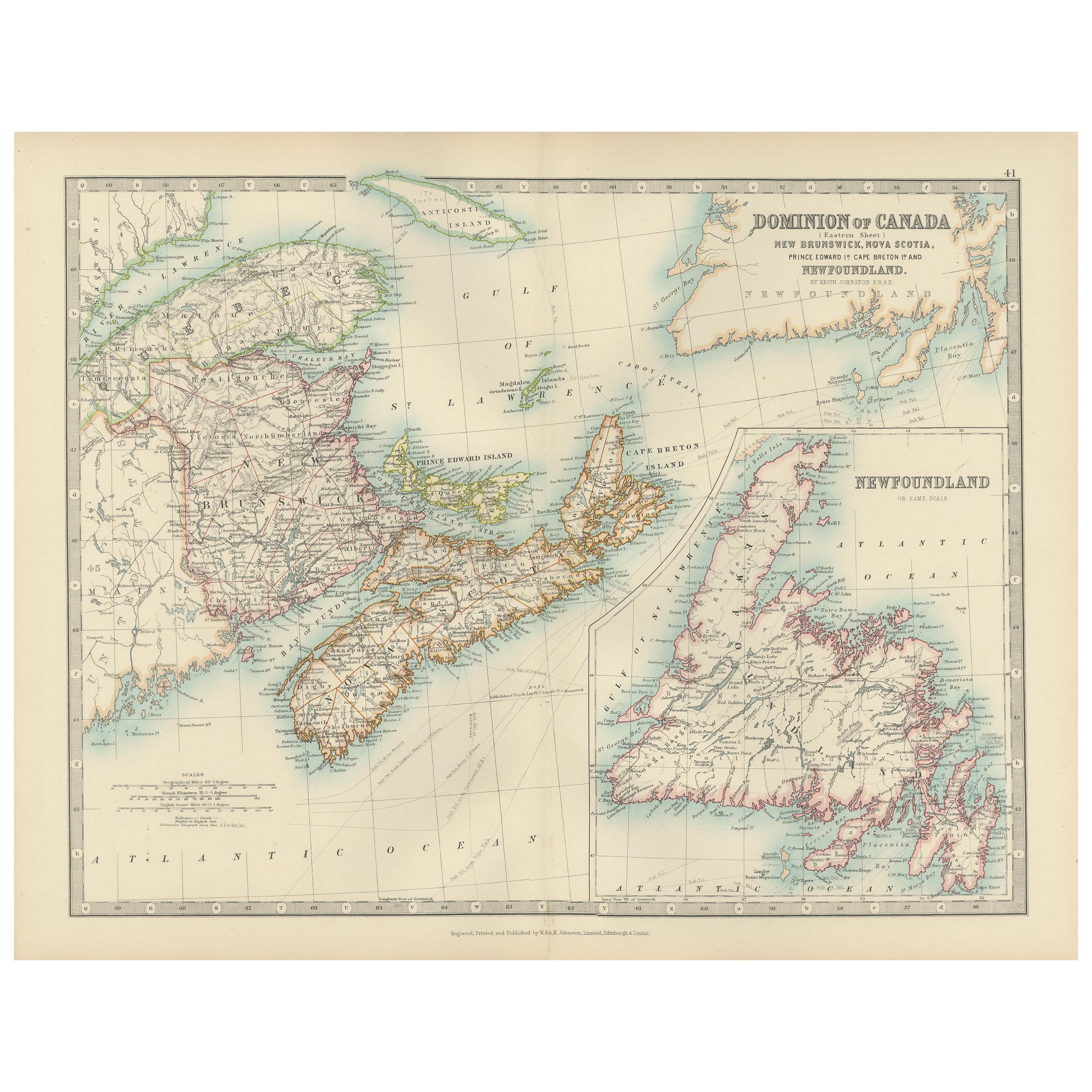
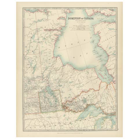
New Brunswick, Nova Scotia, Prince Edward Island, Cape Breton Island and Newfoundland on one sheet, "Dominion of Canada (Eastern Sheet)" by Keith Johnston, color-printed and published in 1903 by W. & A.K. Johnston of Edinburgh and London. The title is set at the upper right of the map, with a scale at lower left.
The main map is centered on the Gulf of St. Lawrence, with the southern edge of Quebec at upper left, the whole of New Brunswick, Nova Scotia and Prince Edward Island in the middle, and the western coast of Newfoundland at the top right. Provincial boundaries are tinted in color, and towns, rivers, railroads and coastal soundings are marked. Anticosti Island lies in the Gulf and Cape Breton Island closes the south side of the Gulf. A large inset at the lower right, "Newfoundland on same scale," shows the island's deeply indented coast in full, with its bays and capes named around the outline.
By 1903 the Dominion of Canada reached from the Atlantic to the Pacific, but Newfoundland remained a separate colony and did not join Canada until 1949, a distinction that this sheet maintains by treating it as its own inset.