About this sheet
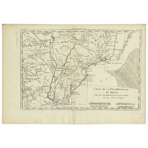
Southern Brazil & Río de la Plata – Enlightenment Map by Rigobert Bonne, c.1780
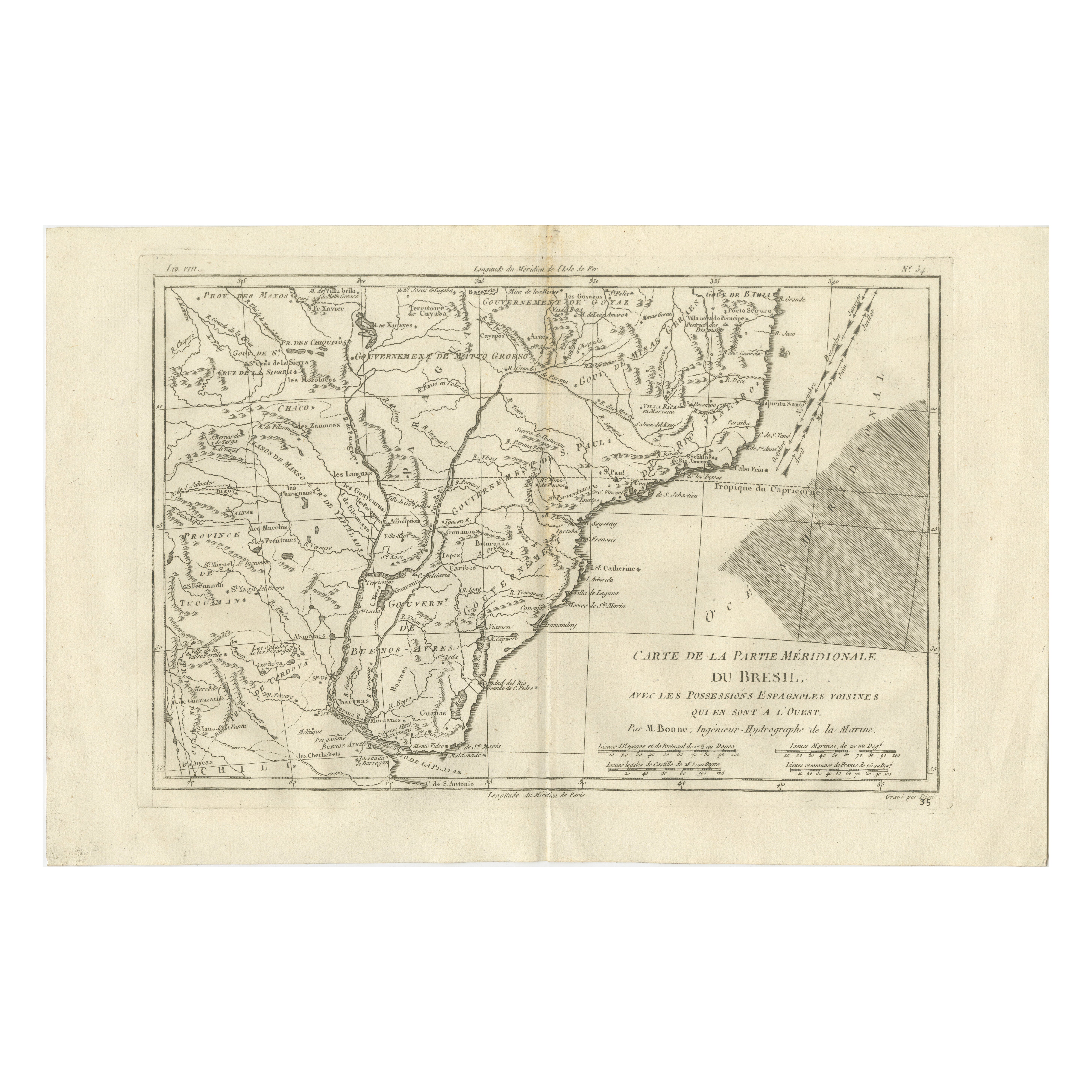
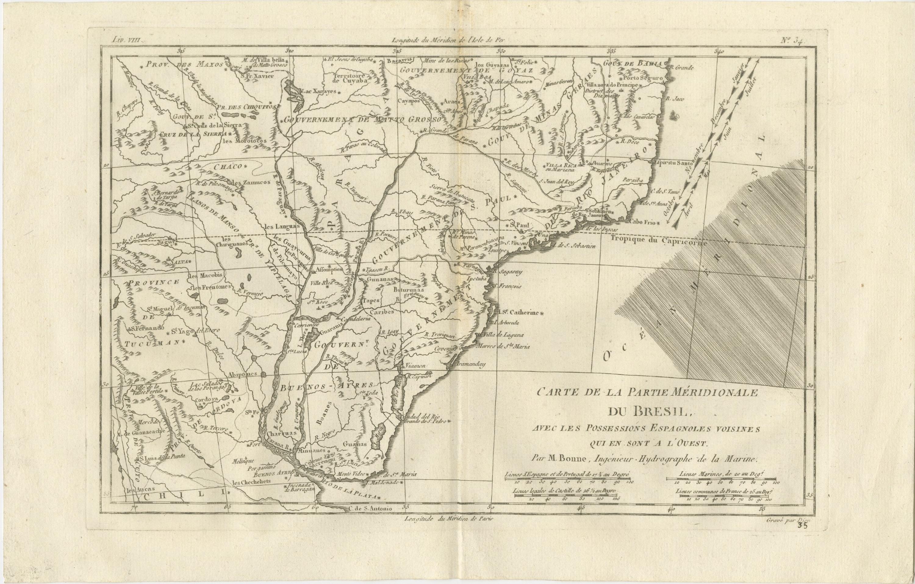
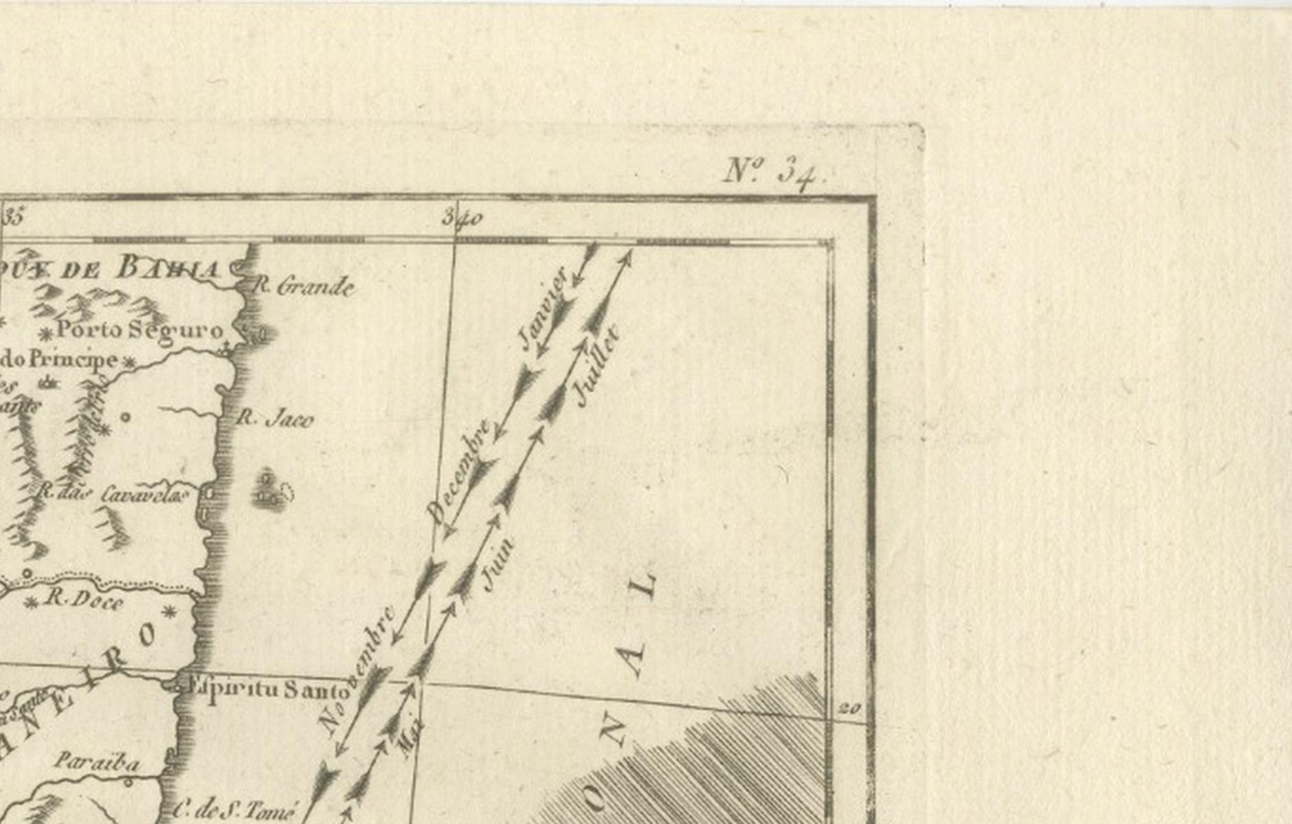
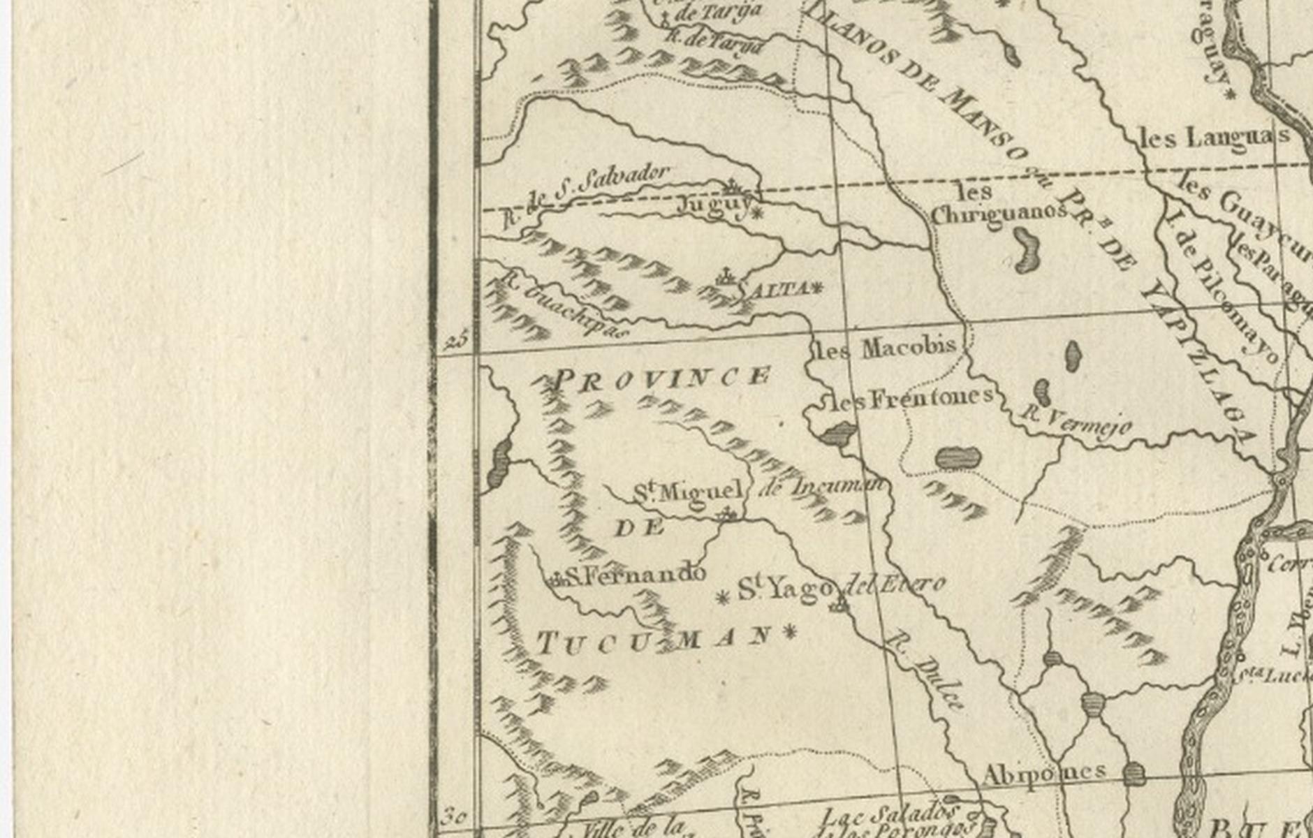
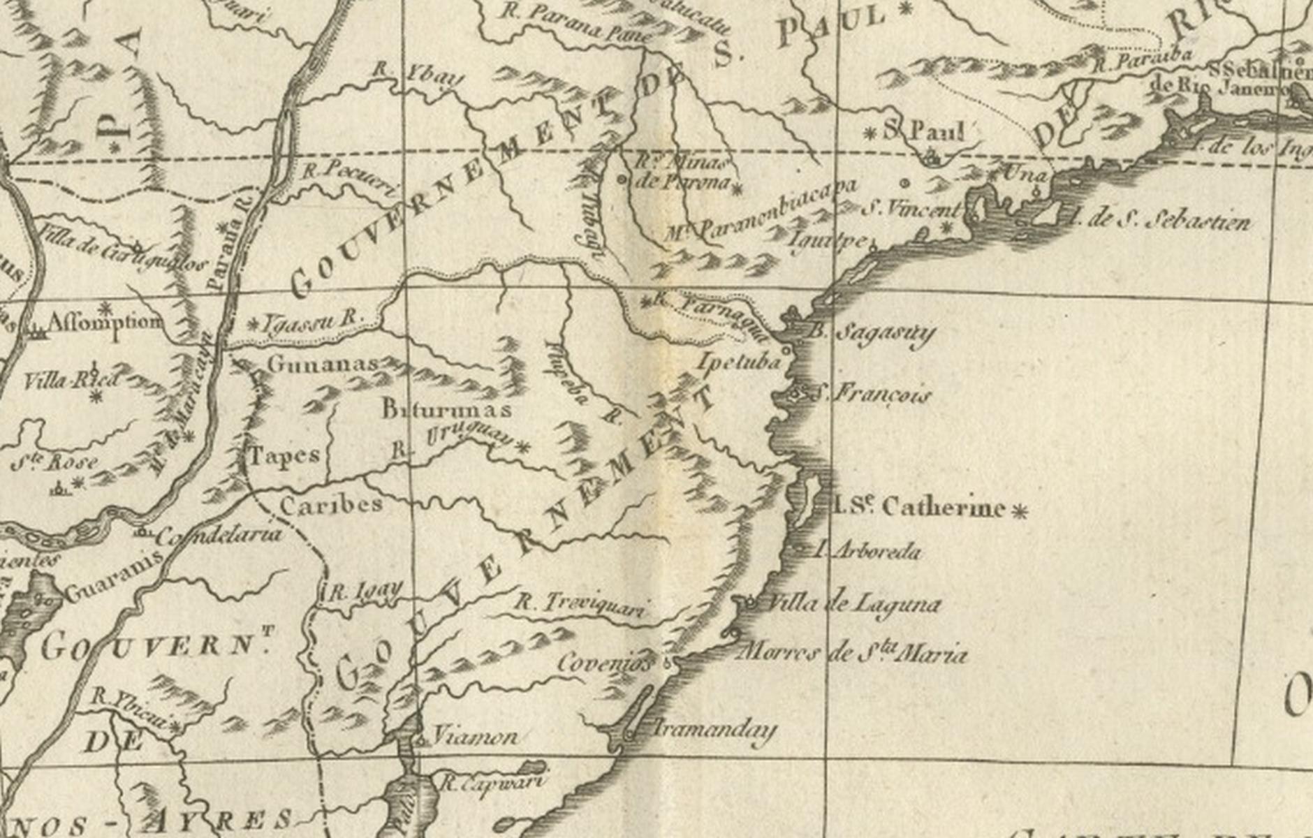
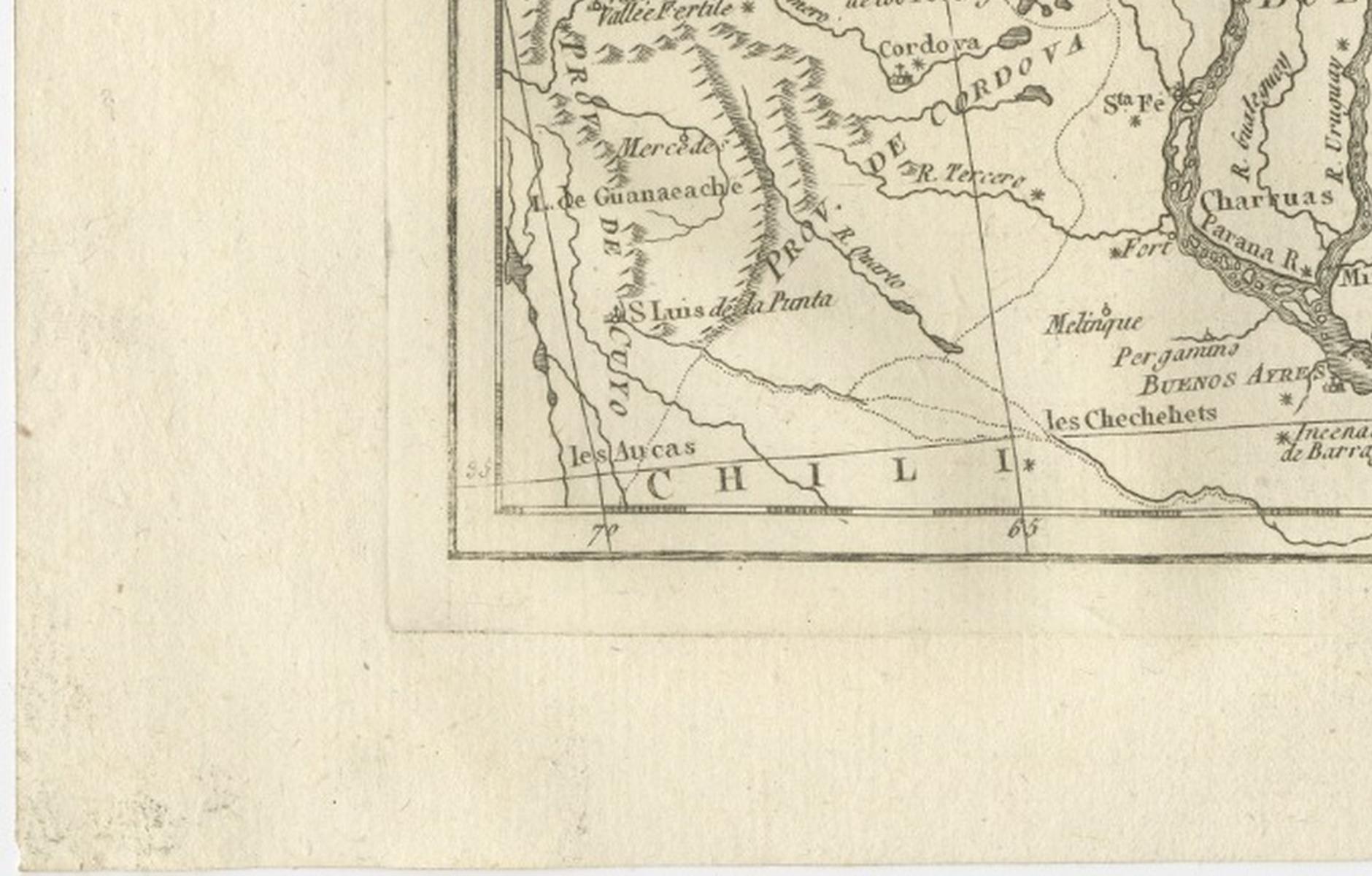
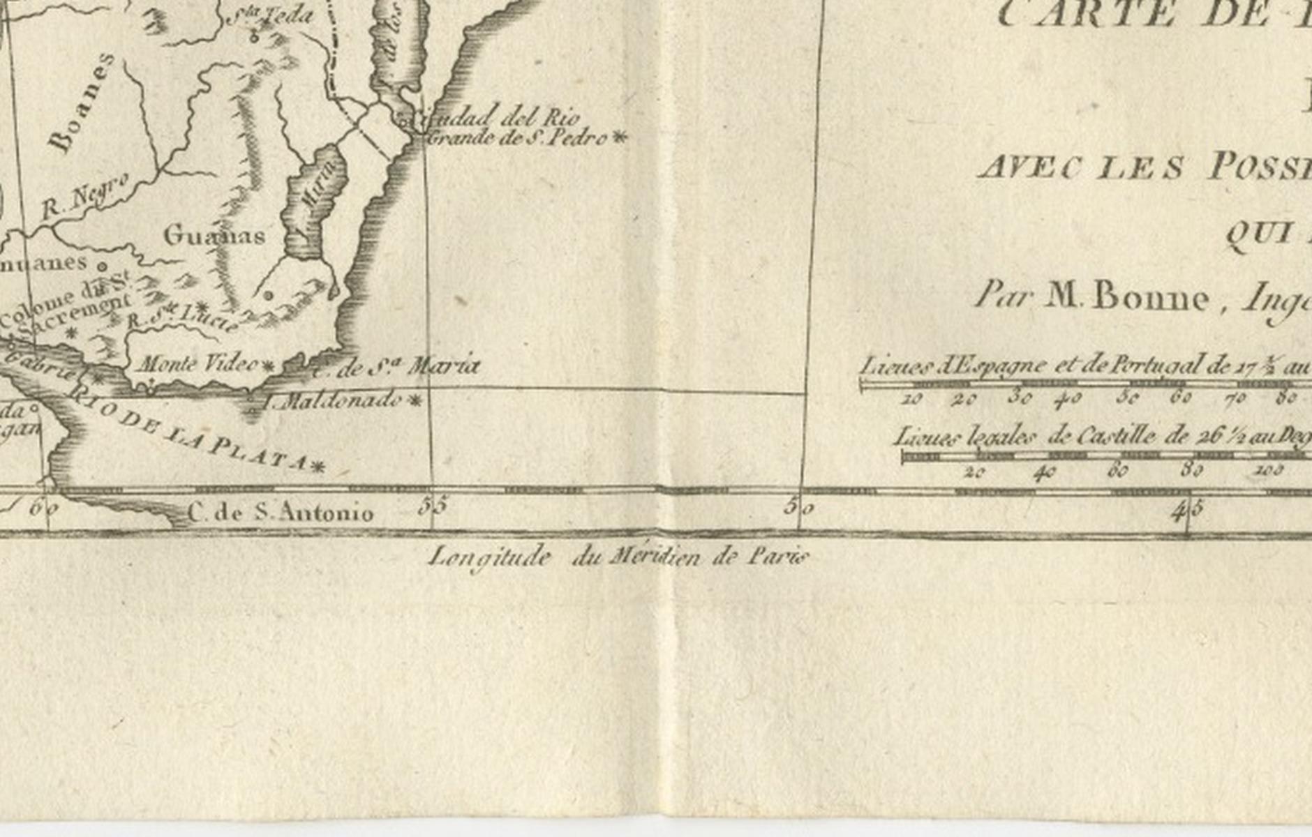
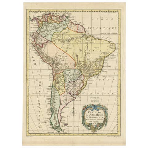
This finely engraved late-18th-century map depicts southern Brazil and the adjoining Spanish possessions to the west, titled Carte de la Partie Méridionale du Brésil, avec les Possessions Espagnoles Voisines qui en sont à l’Ouest, engraved circa 1780 by Rigobert Bonne, one of the leading figures of Enlightenment-era French cartography. The map covers southern Brazil from the Atlantic coast inland toward the Río de la Plata basin, including present-day Uruguay, Paraguay, northern Argentina, and parts of Bolivia, presenting a coherent scientific view of a politically complex frontier zone.
Bonne served as Ingénieur-Hydrographe de la Marine and chief cartographer at the Dépôt de la Marine in Paris, where he succeeded Jacques-Nicolas Bellin. His tenure marked a decisive shift in French cartography toward standardized measurement, clarity, and the synthesis of contemporary geographic intelligence. This map exemplifies his mature style, combining dense information with exceptional legibility and a restrained engraving aesthetic.
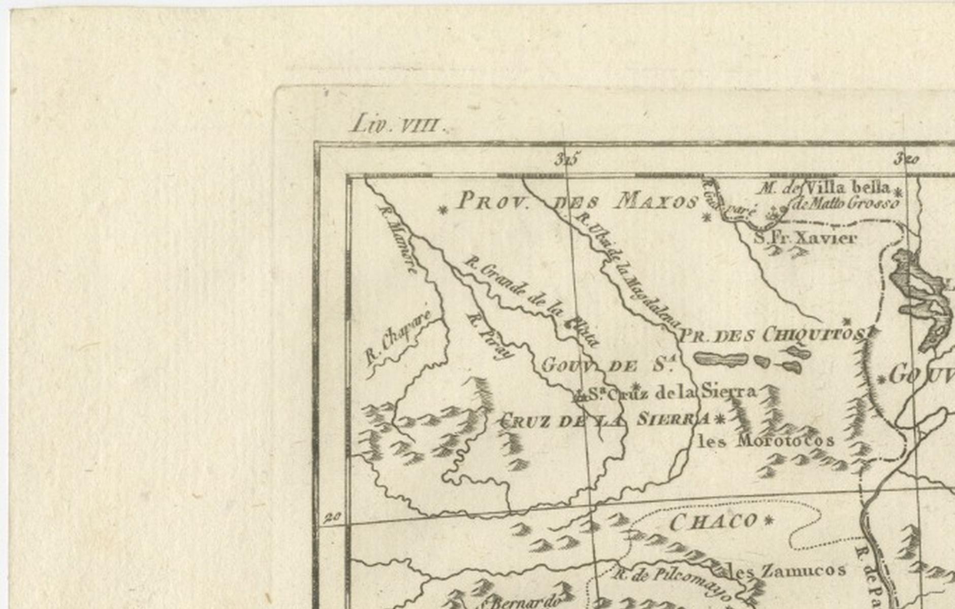
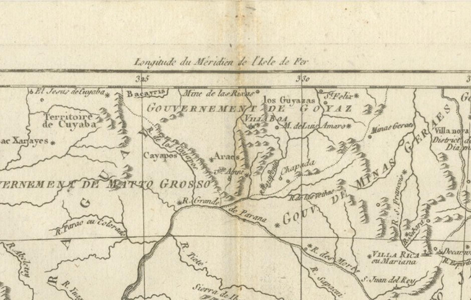
The geography is rendered with notable precision. Major river systems—the Paraná, Paraguay, Uruguay, and Río de la Plata—structure the composition and underscore the region’s strategic importance for trade and colonial control. Provinces such as Buenos Aires, Paraguay, Tucumán, and southern Brazil are clearly delineated, while coastal features along the Atlantic and inland mountain chains are crisply engraved. Indigenous territories, missions, and colonial settlements reflect late-18th-century European understanding of South America’s southern interior.
Visually calm yet commanding, the map’s wide horizontal format, fine line work, and generous margins give it strong architectural presence when framed. It works equally well as a scholarly object for collectors of South American cartography and as a refined decorative piece for a library, study, or contemporary interior.
Condition report
Good antique condition. Light age toning and minor handling wear consistent with 18th-century copperplate engraving. Original centerfold as issued. Clean impression with strong legibility; margins ample for framing.
Framing tips
Best framed in dark walnut or ebonized wood with a generous ivory or warm off-white mat. Museum glass recommended to preserve detail and enhance contrast. Particularly effective as a wide-format focal piece.
SEO keywords
Southern Brazil antique map, Brésil méridional map, Rio de la Plata antique map, Buenos Aires antique map, Uruguay colonial map, Paraguay antique map, Paraná River map, Paraguay River map, Uruguay River map, Atlantic coast Brazil map, Spanish Portuguese colonial frontier, French Enlightenment cartography, Rigobert Bonne map, 18th century South America map, scientific cartography France, decorative antique wall map, historical map Americas
Technique: Copperplate engraving
Maker: Rigobert Bonne, France, circa 1780