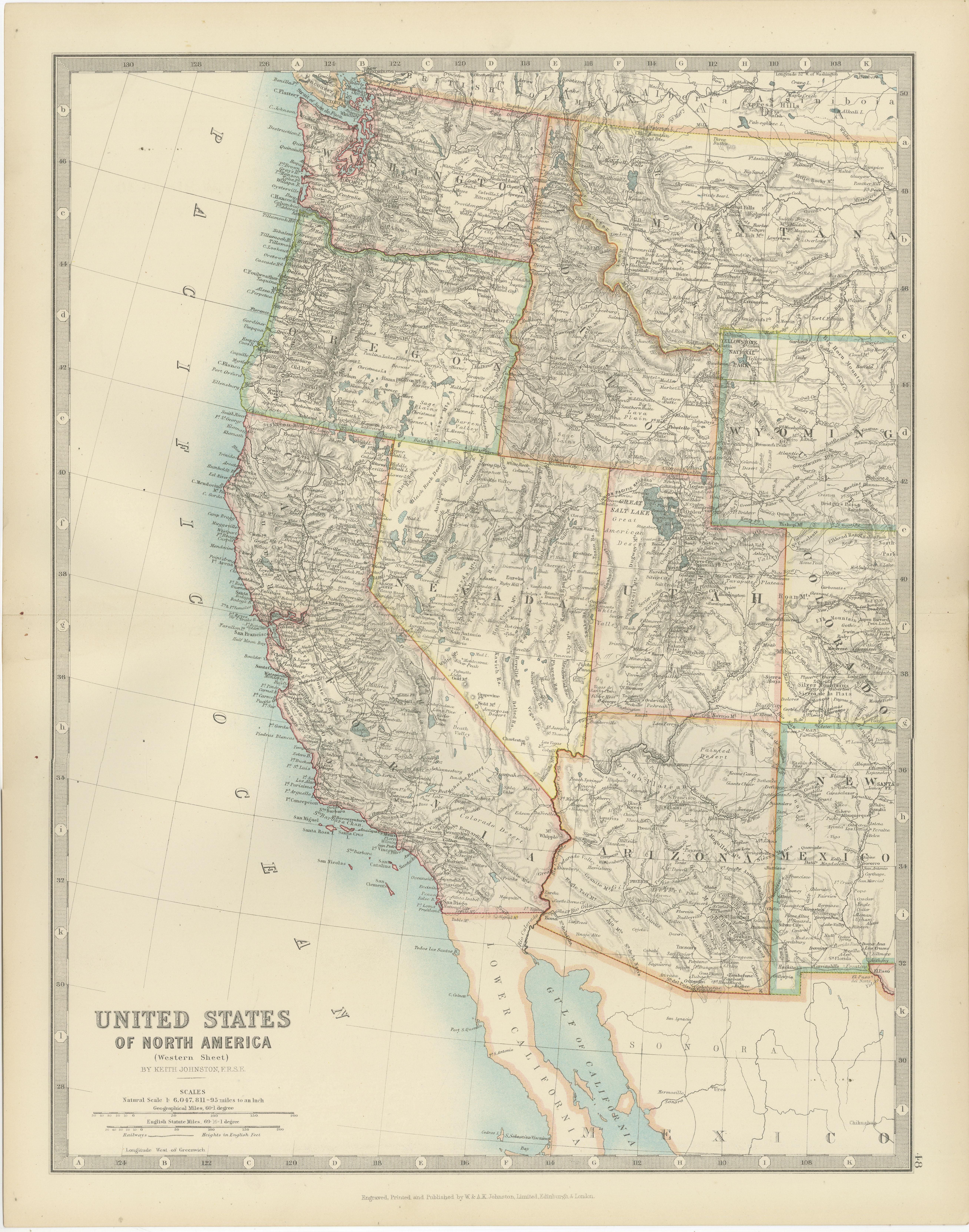
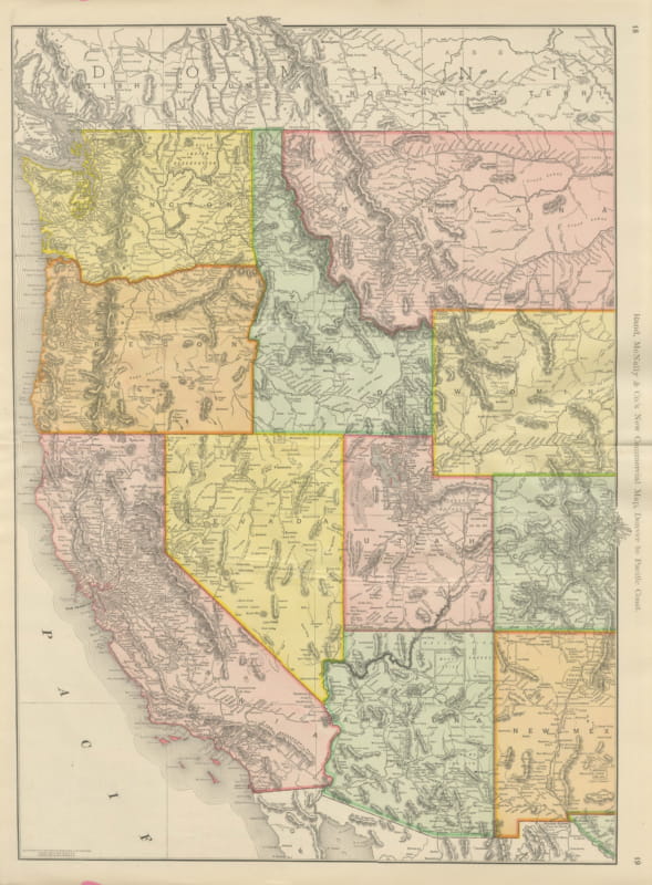
Map of Western United States 1903 – Railroads, State Borders, and Terrain
€ 340
Original antique · The actual sheet photographed · Certificate of authenticity on request · Sold unframed · Worldwide shipping from € 15 (rates)
Date
1903
Sheet size
47 × 36.8 cm (18.5 × 14.5 in)
Condition
Good
Reference
BG-13577-48
What the condition grades mean
Excellent
Bright and clean, with no faults worth mentioning.
Very good
Only light signs of age, such as faint toning.
Good
Normal signs of age for a sheet of this period: toning, some foxing, small marks or neat old repairs.
Fair
Clear faults such as staining, tears or repairs, priced to match.
Every fault we see is written in the condition note, and the whole sheet is shown uncropped in the photos.
Condition
The condition is excellent for its age, with light toning around the edges and crisp, vibrant color that highlights the states and regions. It retains its charm and historical significance, making it a remarkable addition to any collection.
About this sheet
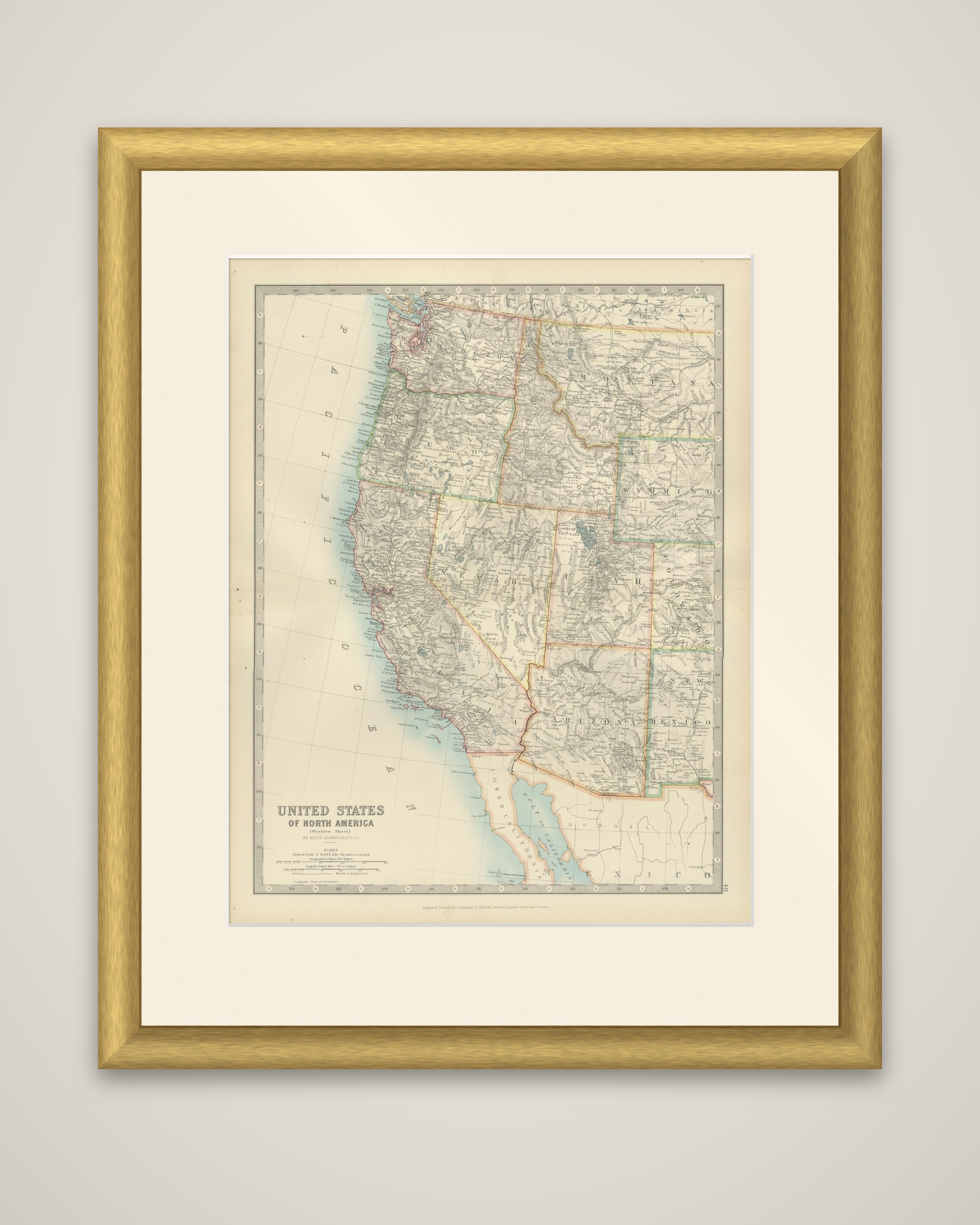
The American West on one sheet, "United States of North America (Western Sheet)" by Keith Johnston, color-printed and published in 1903 by W. & A.K. Johnston of Edinburgh and London. The title and scale bars are set at the lower left.
The map runs from the Pacific coast to the Rocky Mountain states. Washington and Oregon lie at the top left, with the long coast of California below them, and the Gulf of California and the northern part of the Mexican state of Sonora appear at the bottom. Inland the sheet shows Idaho, Nevada, Utah and Arizona, with Montana, Wyoming, Colorado and New Mexico along the right edge. State boundaries are outlined in color, and the mountain ranges are drawn in hachures, with the Sierra Nevada and Cascades prominent on the left. Railroads, rivers, lakes such as the Great Salt Lake and Lake Tahoe, and counties are all lettered.
By 1903 every western territory except Arizona and New Mexico had been admitted as a state, and the map is a record of the West after the railroads had opened it and before those two states were admitted in 1912.