About this sheet
Venezuela, New Granada and Ecuador, Antique Map, Northern South America, 1860
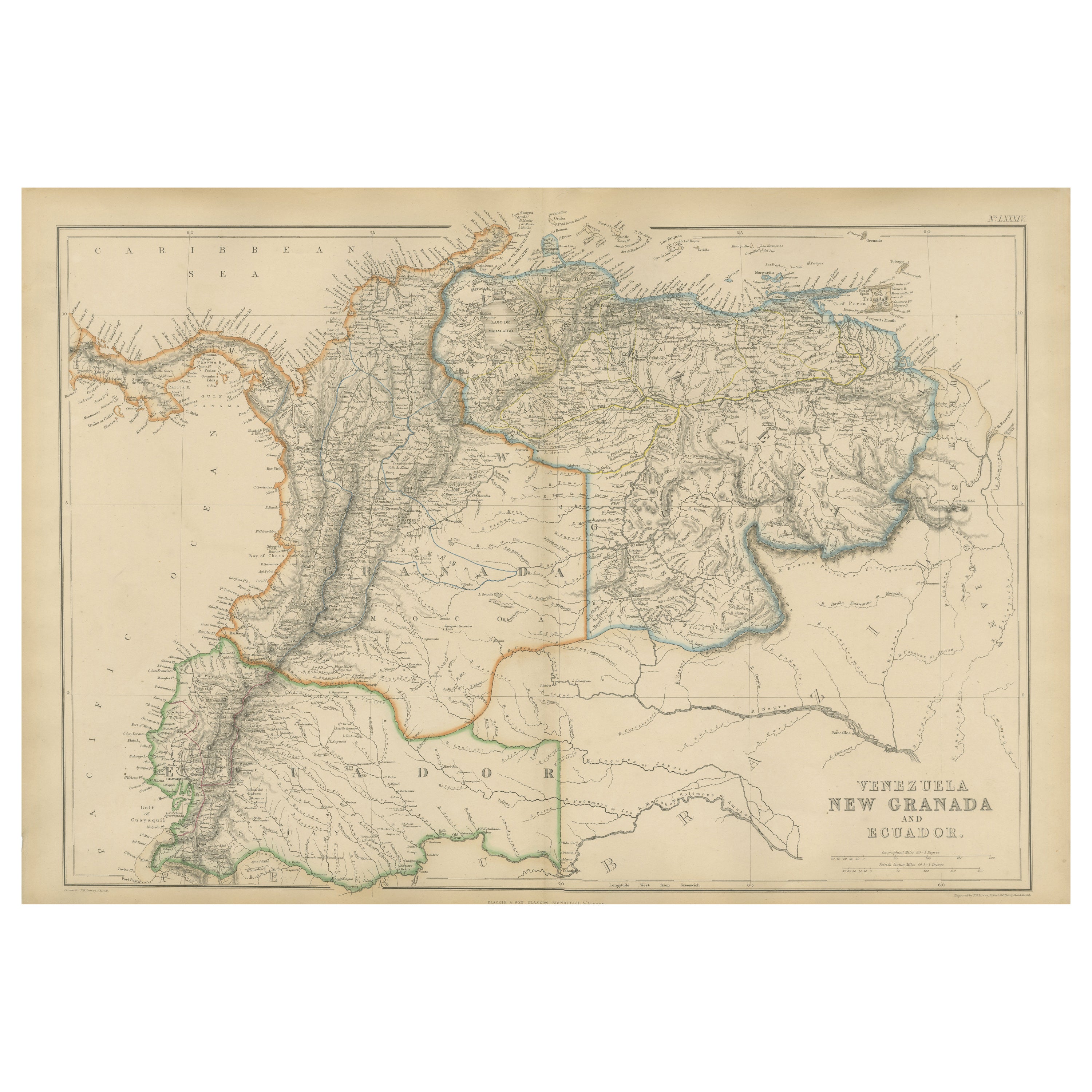
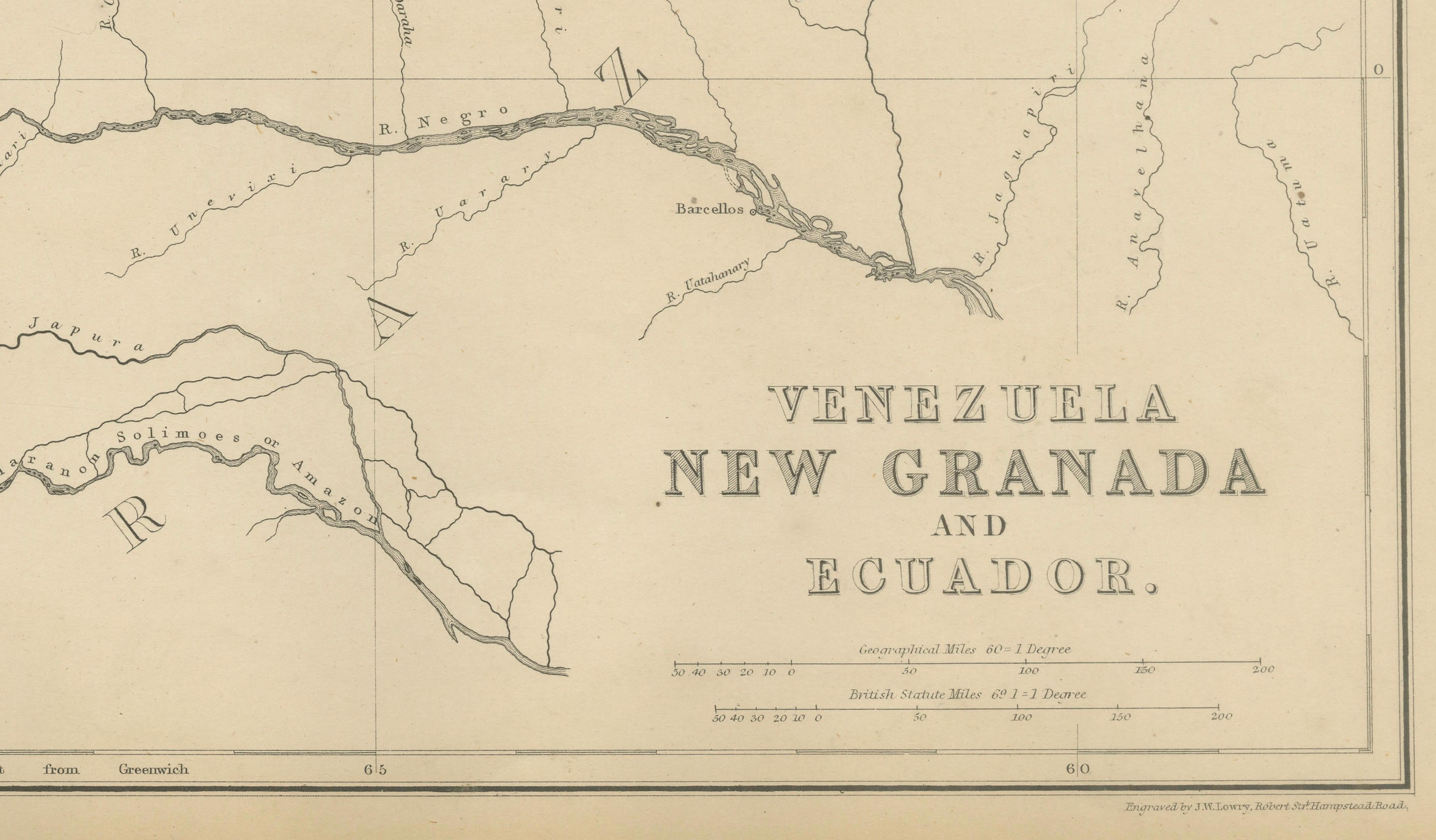
This original antique map titled Venezuela, New Granada and Ecuador depicts northern South America in fine mid-19th-century detail. It originates from The Imperial Atlas of Modern Geography and was published around 1860 by W. G. Blackie, a leading British publisher known for producing authoritative and visually refined atlas maps.
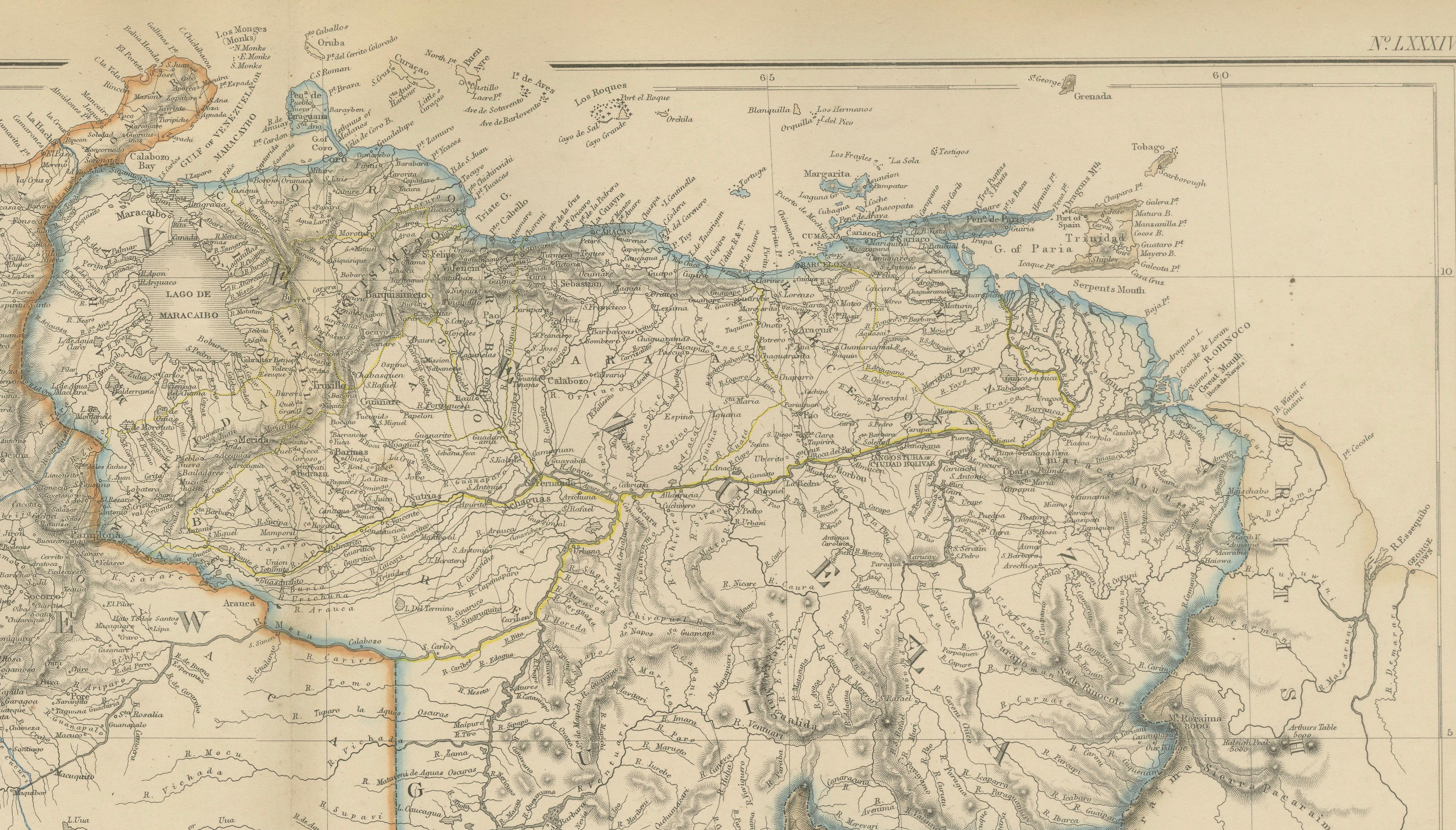
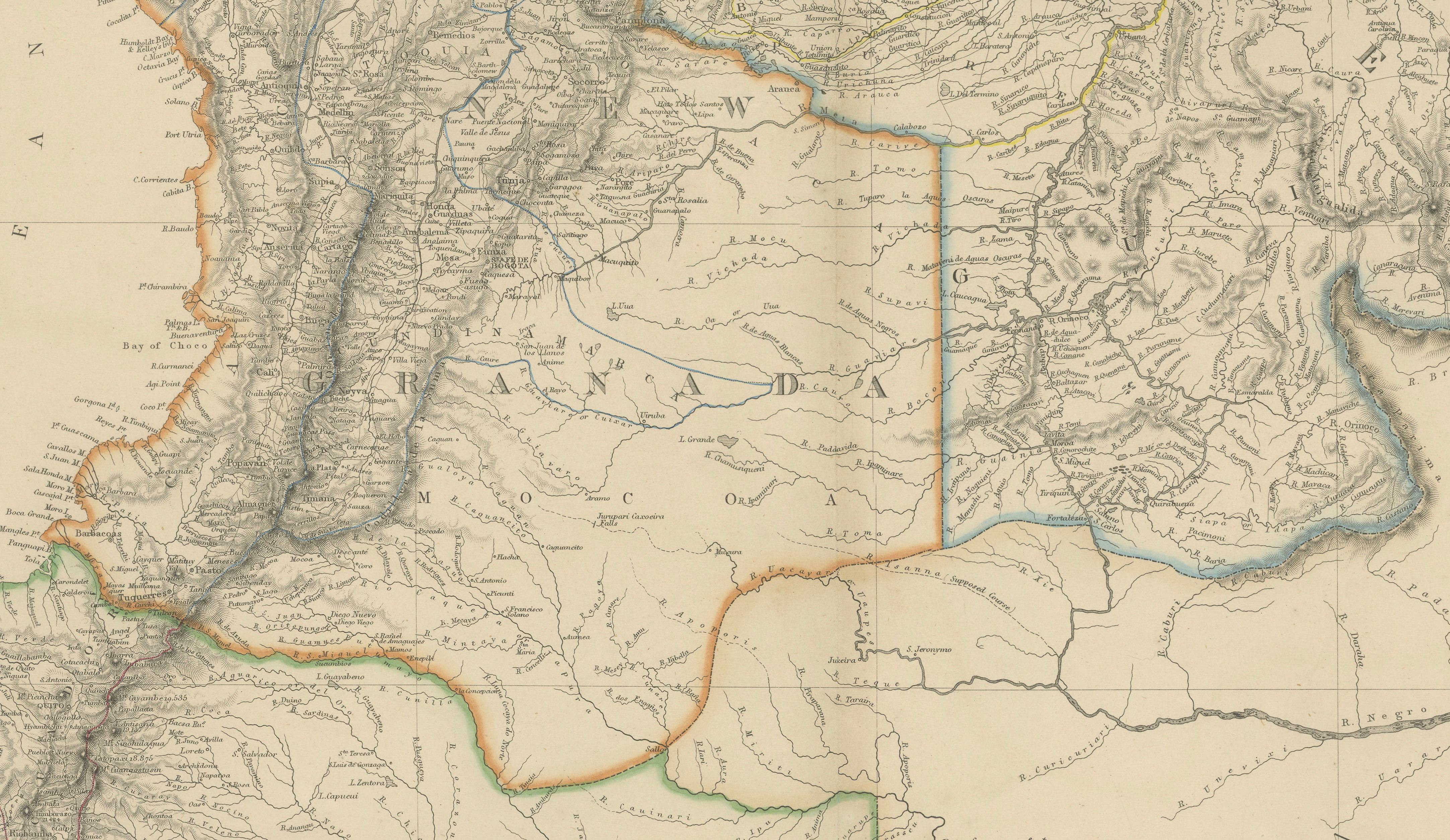
The map covers present-day Venezuela, Colombia (then New Granada), and Ecuador, extending from the Caribbean Sea in the north to the upper Amazon basin in the south. National and regional boundaries are highlighted with original hand coloring, while the engraved detail records river systems, mountain ranges, settlements, and routes. The Andes dominate the western portion of the map, while the Orinoco and Magdalena river networks structure the interior, underscoring the geographical and economic importance of waterways in the region.
Coastal areas along the Caribbean Sea and Pacific Ocean are carefully delineated, with numerous place names reflecting contemporary political geography and colonial-era nomenclature. The composition balances dense inland detail with open sea areas, giving the map both scholarly clarity and strong decorative presence.
This map reflects European interest in South America during a period of political change and expanding global trade. Its refined engraving, subtle hand coloring, and large horizontal format make it appealing both to collectors of South American cartography and to interior designers seeking a substantial and historically grounded wall map.
Condition report:
Good antique condition. Light overall age toning consistent with age. Minor scattered foxing and light handling marks, mainly in the margins. Original central fold as issued. No major tears or losses.
Framing tips:
A wide ivory or warm cream mat will enhance the engraved detail and original hand coloring. A dark walnut, black, or understated antique gilt frame complements the academic and exploratory character of the map. UV-protective or museum glass is recommended.
Technique: Copper engraving with original hand coloring
Maker: W. G. Blackie, Scotland, circa 1860
Keywords:
Venezuela map, New Granada map, Ecuador map, Colombia map, Caracas, Bogotá, Quito, Orinoco River, Magdalena River, Amazon Basin, Andes Mountains, Caribbean Sea, Pacific Coast, Guiana Highlands, Maracaibo, Cartagena, Panama Isthmus, colonial South America, 19th century map, antique atlas map, Blackie, Imperial Atlas, hand colored map, copper engraving, historical cartography, wall map art, exploration era, South American geography