Original antique · The actual sheet photographed · Certificate of authenticity on request · Sold unframed · Worldwide shipping from € 15 (rates)
Sheet size
60 × 44.3 cm (23.6 × 17.4 in)
Condition
Good
Reference
BG-13193-4
What the condition grades mean
Excellent
Bright and clean, with no faults worth mentioning.
Very good
Only light signs of age, such as faint toning.
Good
Normal signs of age for a sheet of this period: toning, some foxing, small marks or neat old repairs.
Fair
Clear faults such as staining, tears or repairs, priced to match.
Every fault we see is written in the condition note, and the whole sheet is shown uncropped in the photos.
Condition
Wear consistent with age and use. General age-related toning. Original folding line. Minor wear and foxing, blank verso. Please review the images for further condition details.
About this sheet
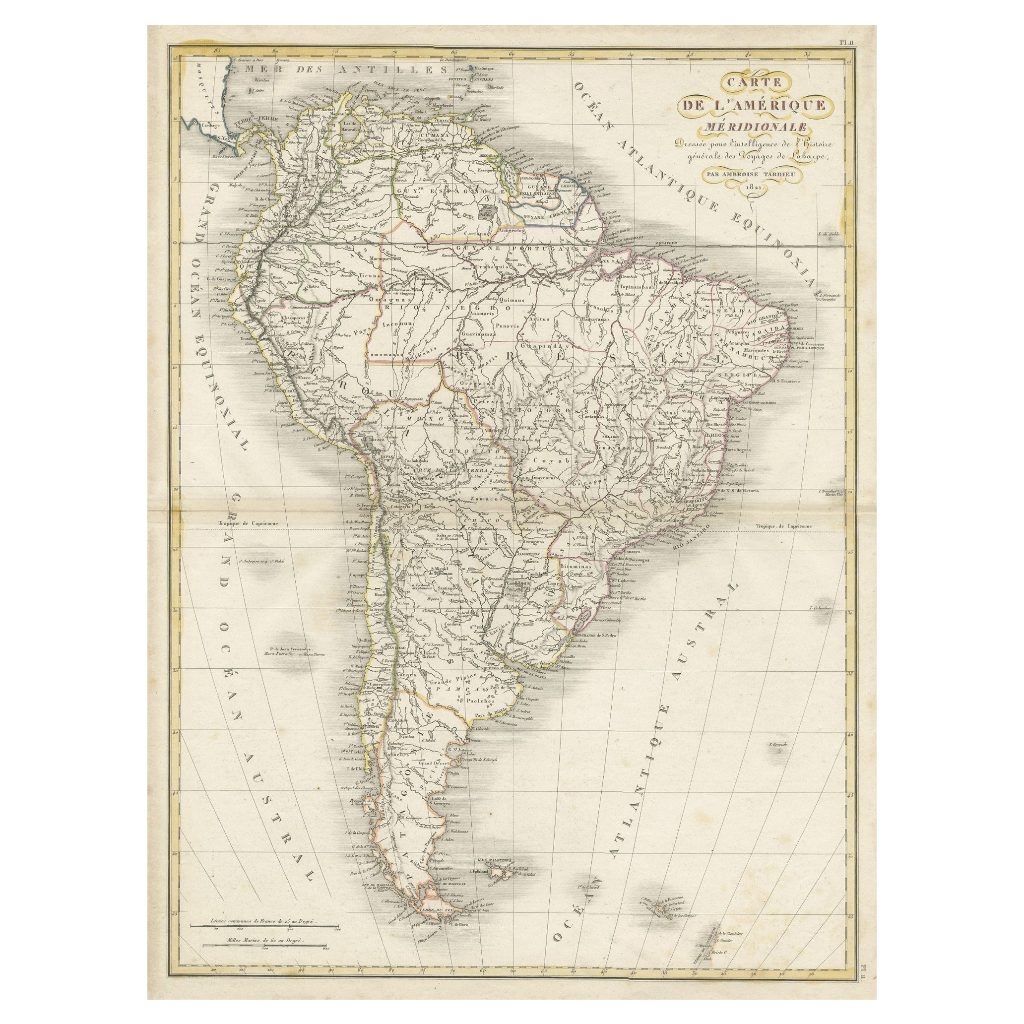
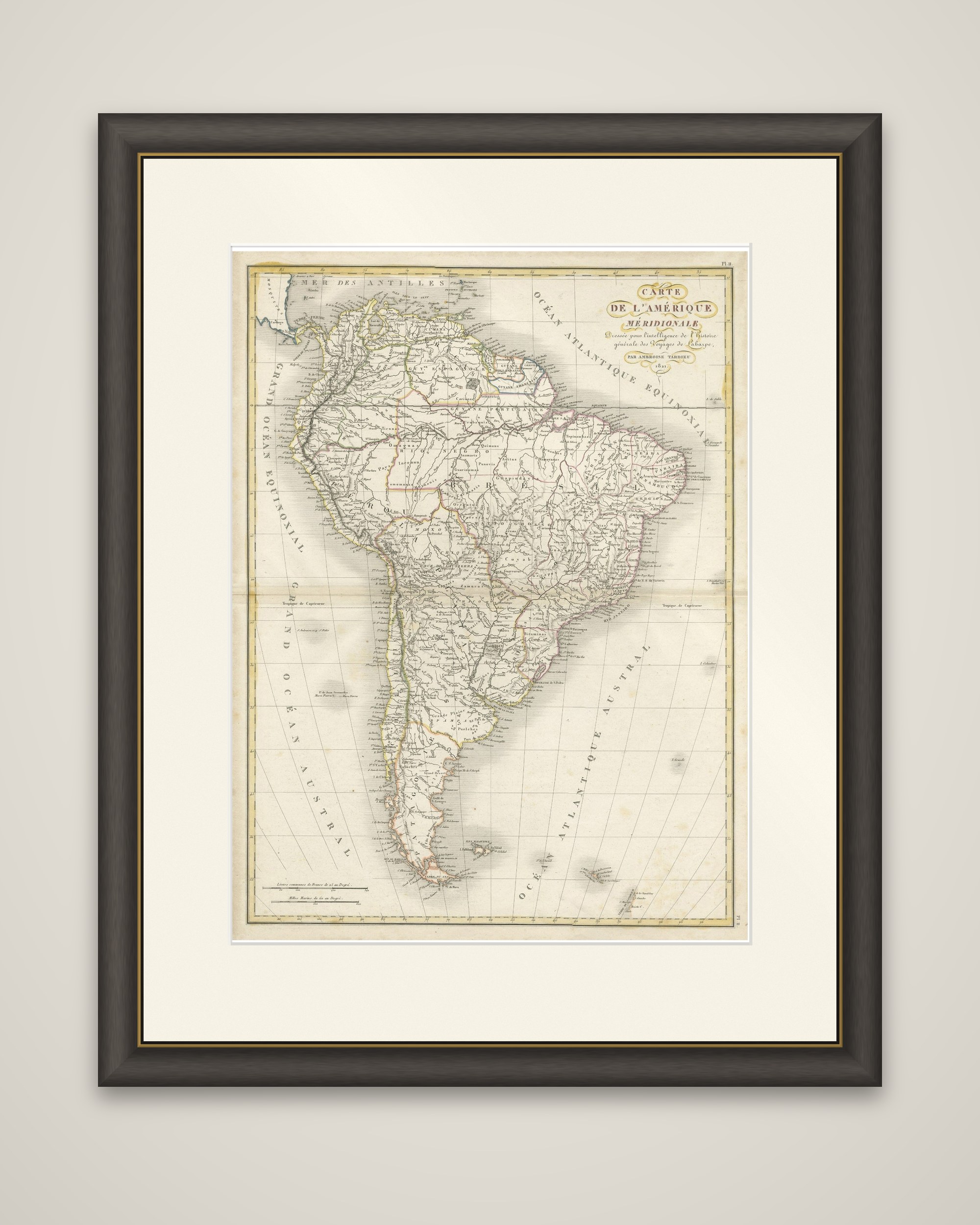
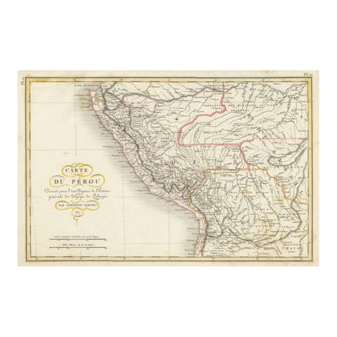
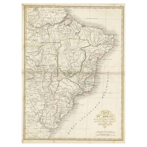
South America in the aftermath of the wars of independence, an original antique map titled "Carte de l'Amerique Meridionale", drawn by Ambroise Tardieu and dated 1821 in the cartouche. It was made for the "Histoire generale des Voyages de Laharpe". The sheet is an engraving with hand-colored outlines.
The continent is shown from the Caribbean Sea to Cape Horn, with the Pacific labeled "Grand Ocean Equinoxial" and "Grand Ocean Austral" and the Atlantic "Ocean Atlantique Equinoxial" and "Ocean Atlantique Austral". Colored outlines mark the great political divisions of the period, including Brazil, Peru, Chile and the River Plate provinces, and the courses of the Amazon, Orinoco and Parana are drawn in careful detail with the mountain chains of the Andes. The names Spanish Guyana and San Juan de Los Llanos appear in the northern part of the continent, in the regions that would become Venezuela and Colombia. The title is set in a flourished cartouche at the upper right.
The map shows the continent in the midst of several decades of revolution, which reshaped its geopolitical landscape and boundaries for generations. Tardieu belonged to a Paris family of engravers and geographers and was geographical engraver to the French government.