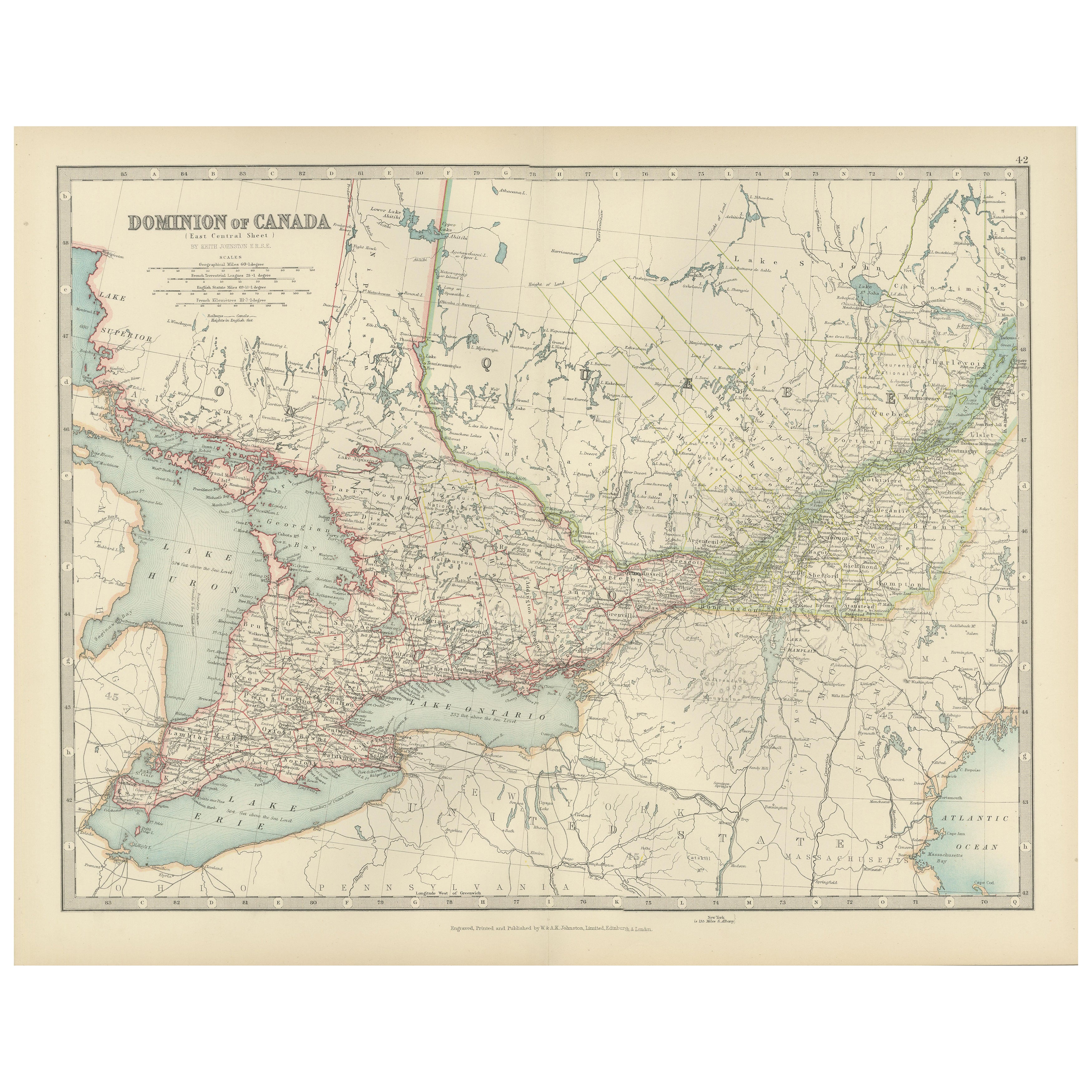
Canada Map 1903 - East Central Dominion - Ontario, Quebec & More
€ 340
Original antique · The actual sheet photographed · Certificate of authenticity on request · Sold unframed · Worldwide shipping from € 15 (rates)
Date
1903
Sheet size
36.8 × 47 cm (14.5 × 18.5 in)
Condition
Good
Reference
BG-13577-42
What the condition grades mean
Excellent
Bright and clean, with no faults worth mentioning.
Very good
Only light signs of age, such as faint toning.
Good
Normal signs of age for a sheet of this period: toning, some foxing, small marks or neat old repairs.
Fair
Clear faults such as staining, tears or repairs, priced to match.
Every fault we see is written in the condition note, and the whole sheet is shown uncropped in the photos.
Condition
This original map is in excellent condition with slight toning along the edges, typical for its age. The color borders remain bright, and there are no significant tears or repairs.
About this sheet
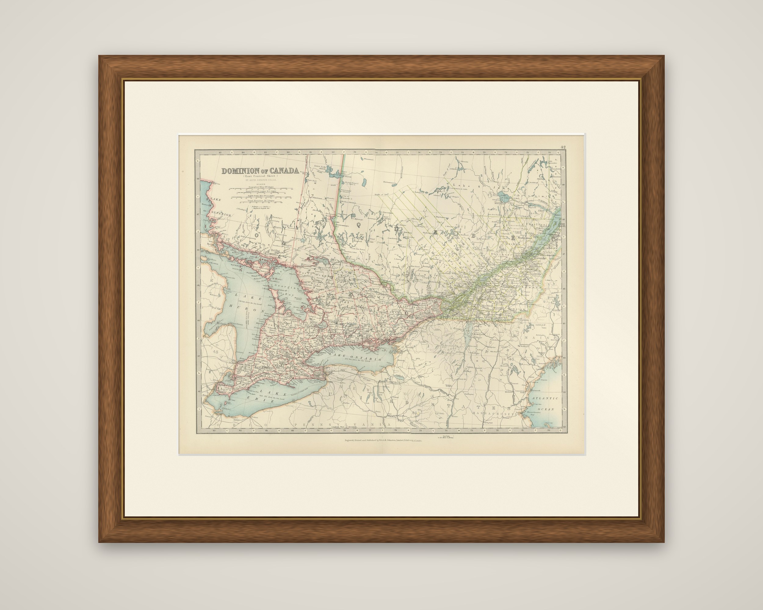
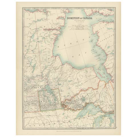
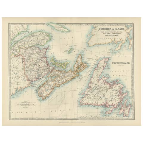
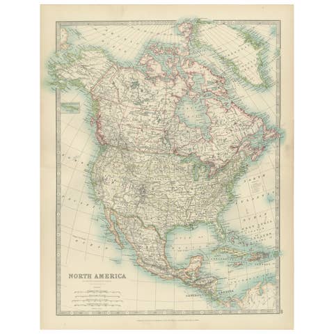
The heart of eastern Canada on a single sheet, "Dominion of Canada (East Central Sheet)" by Keith Johnston, a color-printed map published in 1903 by W. & A.K. Johnston of Edinburgh and London. The title and scale bars are placed at the upper left.
The map covers southern Ontario and southern Quebec, with the lower Great Lakes dominating the left half: Lake Huron with Georgian Bay, Lake Erie and Lake Ontario, and a portion of Lake Superior at the far upper left. The St. Lawrence River runs northeast from Lake Ontario through Quebec, with the densest network of railroads, roads and town names following the lake shores and the river valley. The provincial boundaries are outlined in color, and a hatched tract across the northern part of Quebec is drawn in green. At the bottom the map crosses the border into Pennsylvania, New York and New England, and the Atlantic Ocean appears at the lower right.
This is one of a set of sheets that together map the Dominion, and it covers the most densely settled part of the country in 1903, the corridor between Detroit and Montreal.