About this sheet
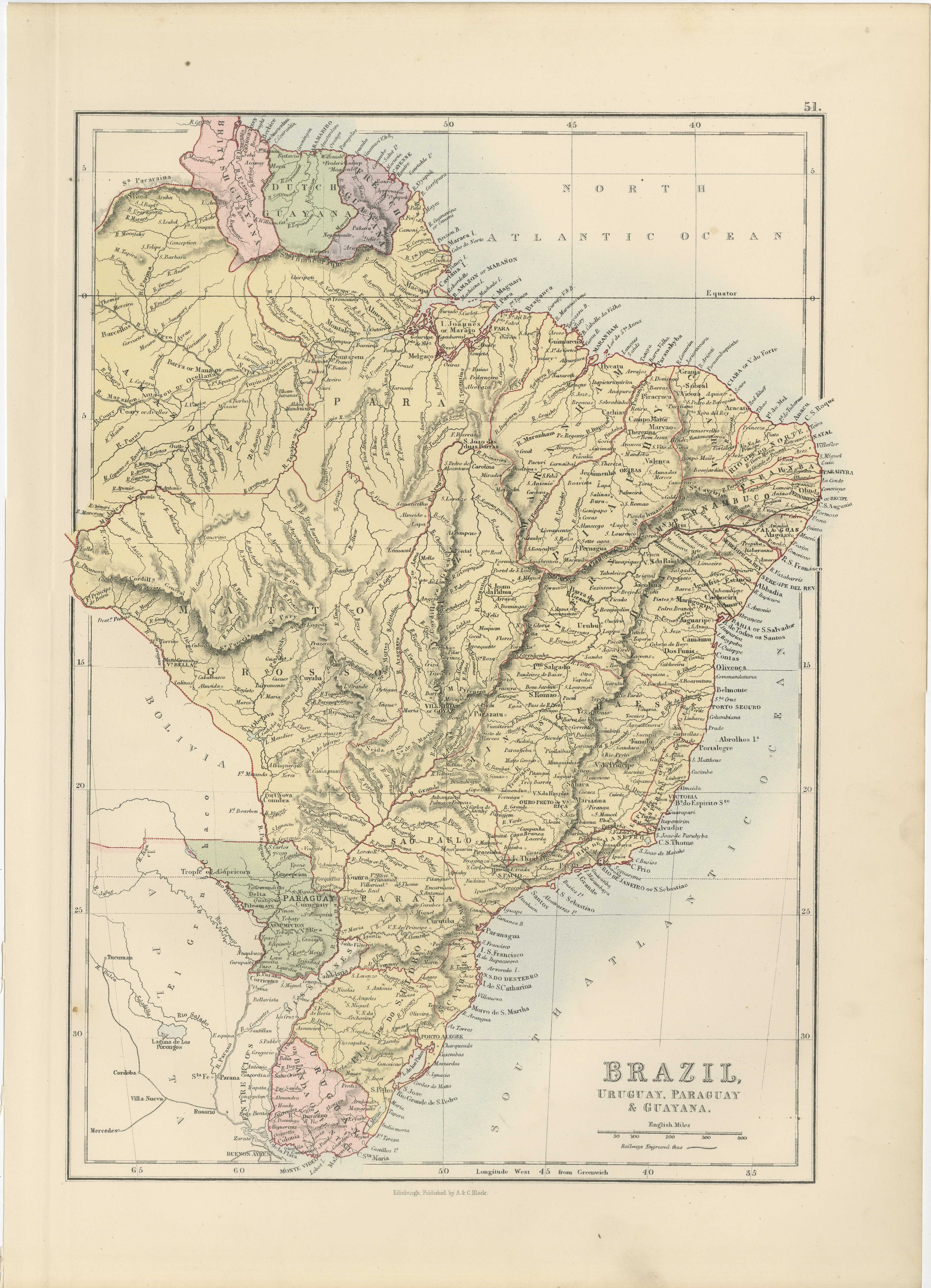
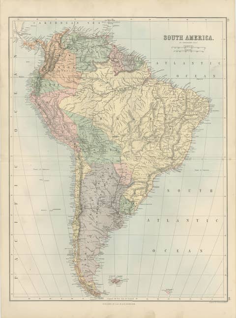
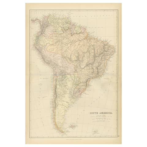
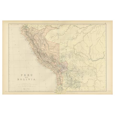
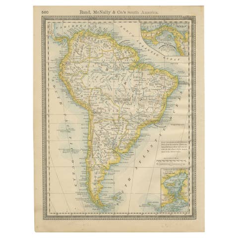
This detailed antique map of Brazil and neighboring regions was produced under the direction of the celebrated Scottish cartographer John Bartholomew and published by A. & C. Black in Edinburgh in 1884 as part of the New and Revised Edition of Black’s General Atlas of the World. Elegantly engraved and printed in delicate original color, the map presents one of South America's most important regions during the late nineteenth century.
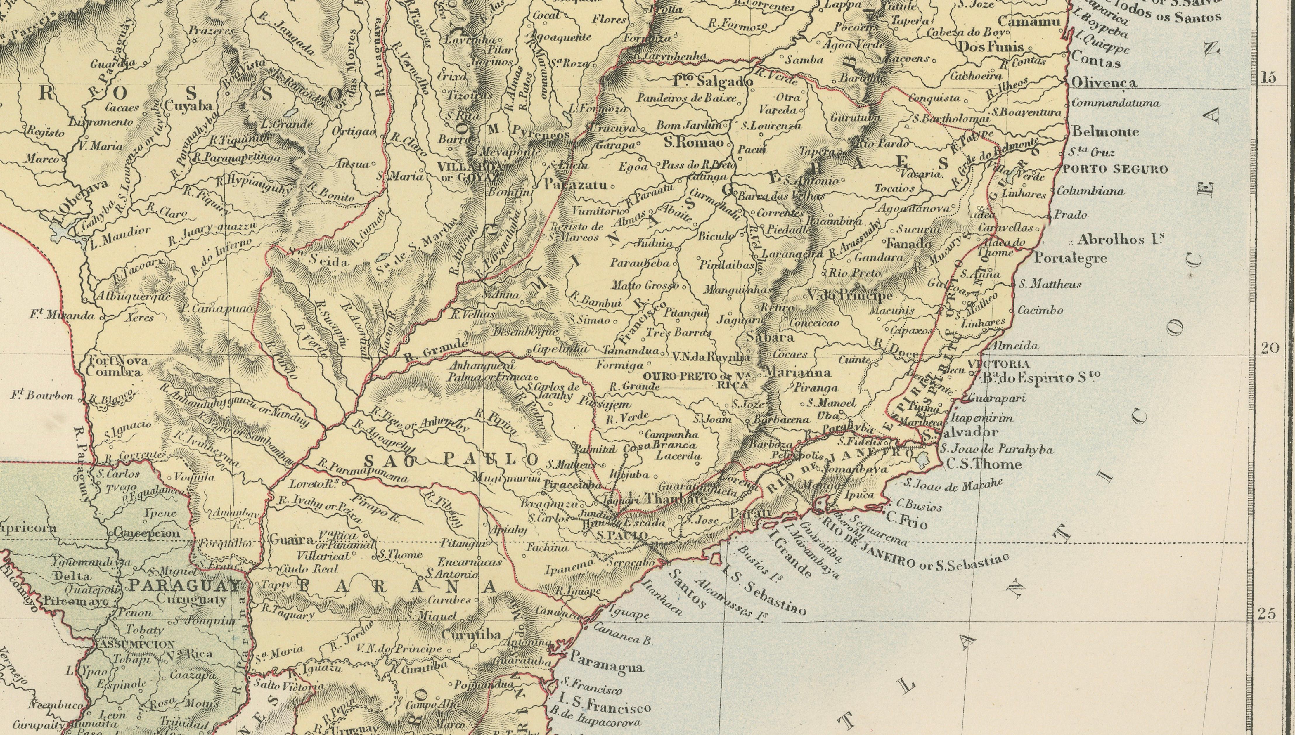
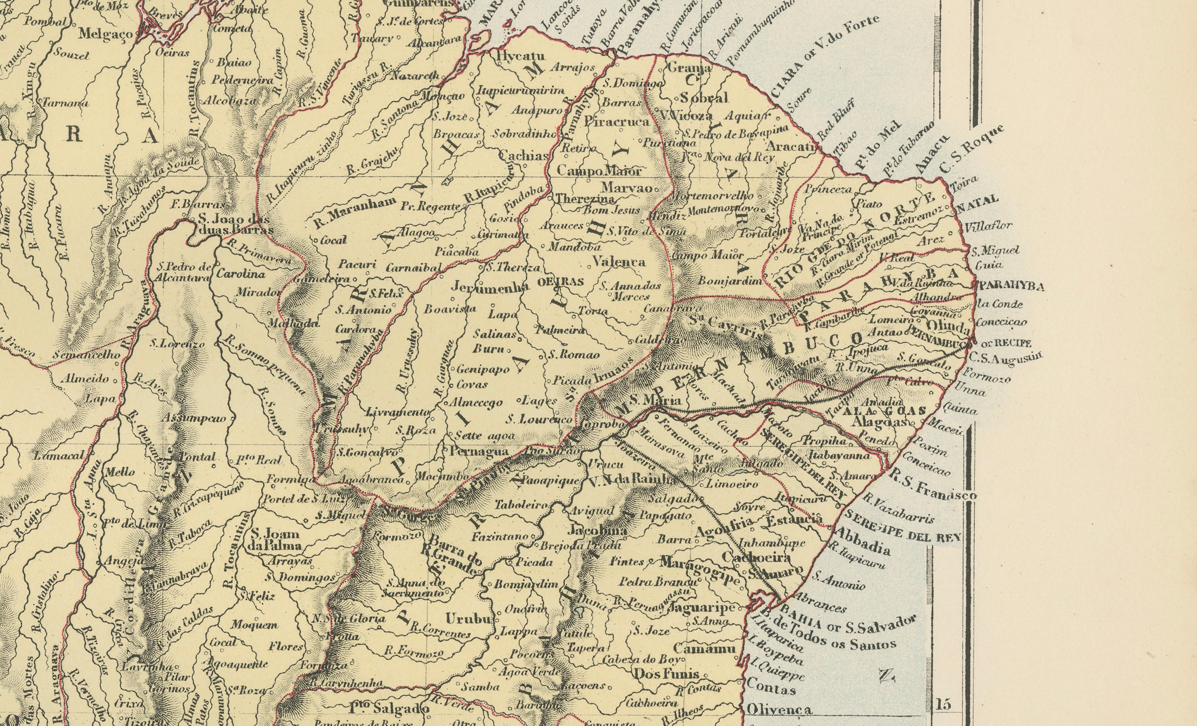
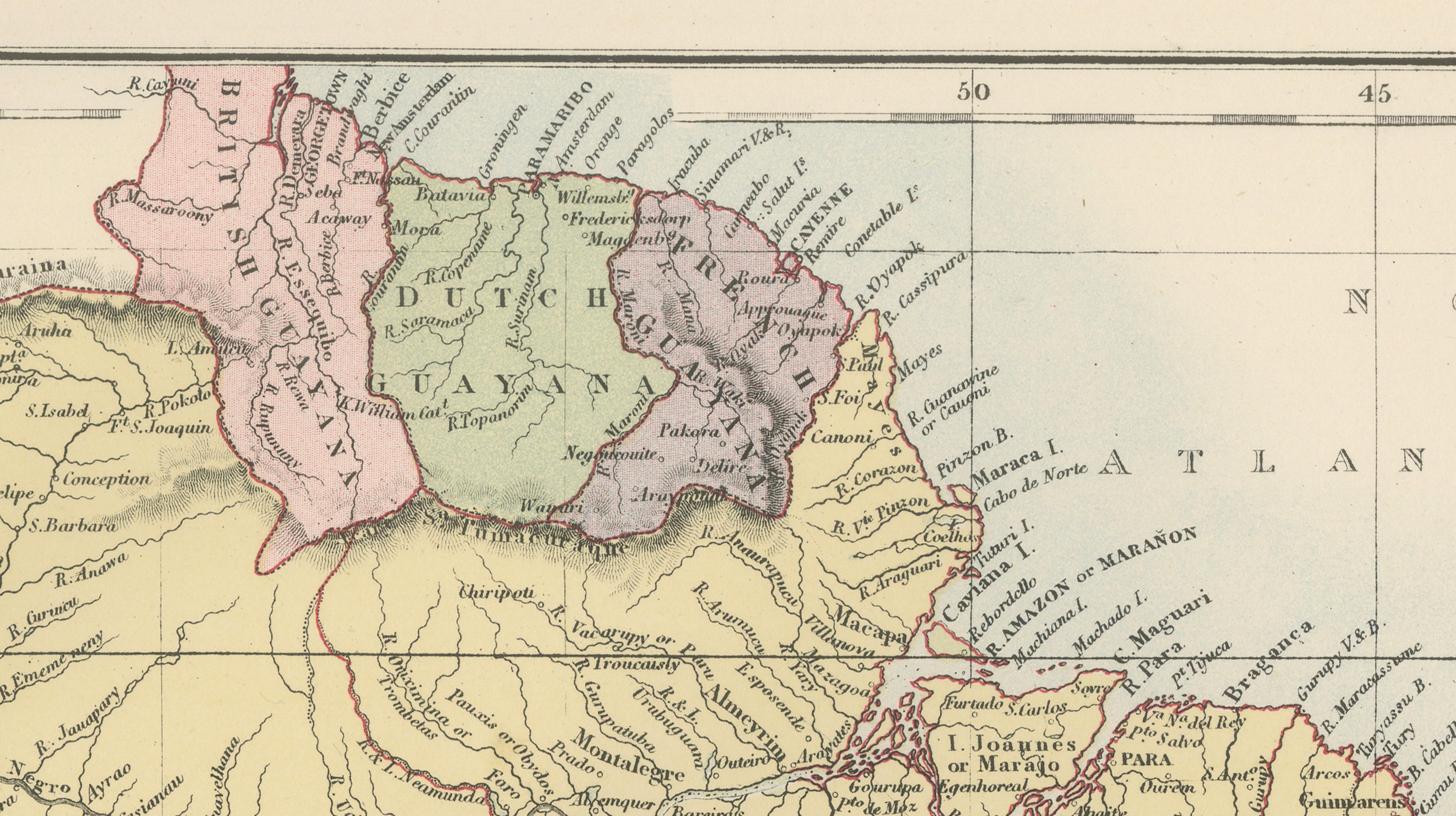
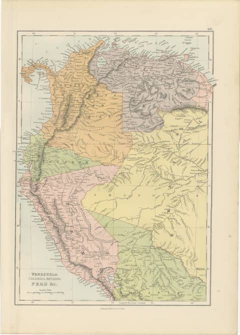
The map covers Brazil in extensive detail, together with Uruguay, Paraguay, and the Guianas, including British Guiana, Dutch Guiana (Suriname), and French Guiana. It illustrates an intricate network of rivers, mountain ranges, provincial boundaries, railways, towns, ports, and settlements, offering a fascinating snapshot of South America during a period of rapid economic development and territorial consolidation.
Prominent locations shown include Rio de Janeiro, São Paulo, Bahia (Salvador), Pernambuco (Recife), Pará (Belém), Mato Grosso, Amazonas, Paraná, Rio Grande do Sul, Montevideo, Asunción, Cayenne, Paramaribo, and Georgetown. The map also highlights the vast Amazon River basin and its extensive tributary network, one of the world's most remarkable geographic systems.
Published during the height of the Victorian era, the map captures Brazil shortly before the fall of the Brazilian Empire and the establishment of the republic in 1889. It provides a valuable historical record of political boundaries, transportation routes, and settlement patterns across the continent. The inclusion of the Guianas and neighboring republics further enhances its appeal to collectors interested in colonial history, exploration, trade, and South American geography.
John Bartholomew was among the leading cartographers of the nineteenth century. His maps for A. & C. Black became renowned for their precision, clarity, and attractive presentation. Black's General Atlas was widely used throughout Europe and the British Empire and remains highly sought after by collectors of antique maps today.
This map is both decorative and historically significant, making it an excellent choice for collectors of South American cartography, Brazilian history, colonial studies, exploration, genealogy, and nineteenth-century travel.
Keywords: Brazil, Brasil, Rio de Janeiro, São Paulo, Amazon River, Amazonas, Mato Grosso, Bahia, Pernambuco, Paraná, Rio Grande do Sul, Uruguay, Montevideo, Paraguay, Asunción, Suriname, Dutch Guiana, French Guiana, British Guiana, Guyana, Paramaribo, Cayenne, Georgetown, South America, Victorian map, antique map, John Bartholomew, A. & C. Black, Edinburgh, exploration, colonial history, cartography.
Condition: Good antique condition with age-related toning and light wear consistent with age. Original center fold as issued. Please study the photographs carefully for the most accurate impression of condition.
Framing tips: This map displays beautifully in a dark walnut, ebonized, or museum-black frame with a warm ivory mat. A subtle gilt liner can highlight the original coloring and provide an elegant presentation suitable for both traditional and contemporary interiors.
This offering is for an original nineteenth-century engraved map, printed in 1884, and is not a modern reproduction, facsimile, or later copy.
Any framed room visualizations shown are provided solely for display inspiration. The map is sold unframed. Such visualizations may not accurately represent the print's exact dimensions, scale, or proportions relative to the frame or interior setting.
Technique: Engraving with printed color
Maker: J. Bartholomew for A. & C. Black, Edinburgh, 1884