maps-prints.com
✦
Black Friday Sale
Friday 20 to Monday 30 November: up to 30% off original antique maps and prints
The terms
- Up to 30% off selected original antique maps and prints. Every piece is an original, printed in its own time; none is a reproduction.
- The sale runs from Friday 20 November to Monday 30 November. Sale prices shown here apply from Friday 20 November; until then pieces are sold at their regular price.
- Free FedEx shipping on qualifying orders placed on our own websites: USA, Canada, UK and Europe over $500 / €450; rest of the world over $750 / €675. Smaller orders pay our normal shipping rate.
- Orders placed from 15 to 30 November ship from 1 December, in time for Christmas. Our shipping partner is InXpress.
- Each piece is unique, so the sale is while stock lasts.
Collection:AllAmericanSea chartsMilitaryNatural historyFashionArchitectureBotanicalSacredEast Indies
Sale prices apply from Friday 20 November. Save the pieces you like with the heart and come back on Friday.
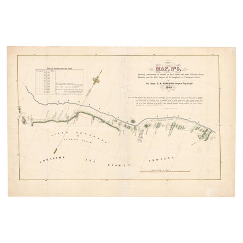 1849 Hand-Colored Map of Fort Smith to Santa Fe Route, Detailing Trails & Camps
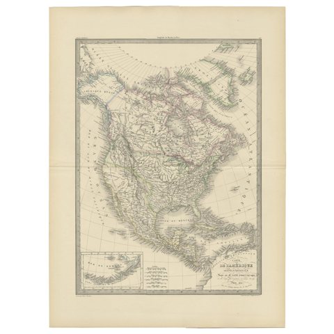 Antique Map of North America by Pierre M. Lapie, Paper, France, 1842
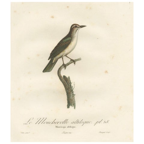 The Black-Whiskered Vireo – An 1807 Large Hand-Colored Ornithological Print
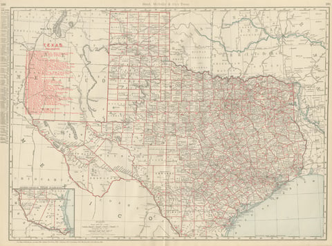 Antique Map of Texas, The Lone Star State, Rand McNally, 1899
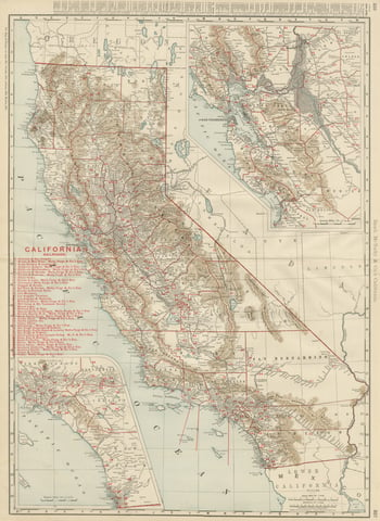 Antique Map of California, The Golden State, Rand McNally, 1899
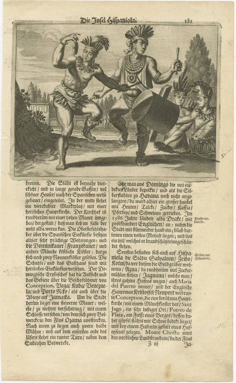 Copper Engraving of Hispaniola - Indigenous Life in America by Montanus, 1673
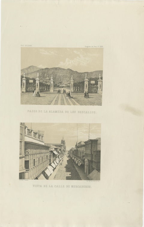 Antique Lithographs of Lima Peru 1865 – Paseo de los Descalzos & Mercaderes
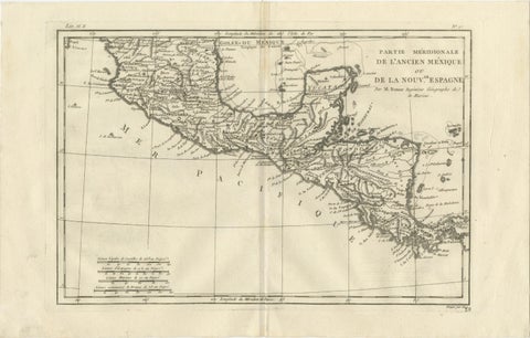 Southern Mexico & New Spain – Enlightenment Map by Rigobert Bonne, c.1780
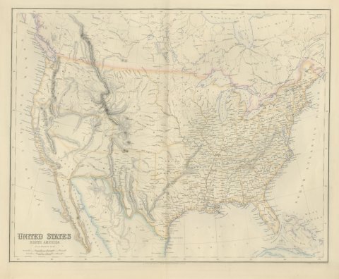 Antique Map of the United States with Oregon Territory, circa 1860
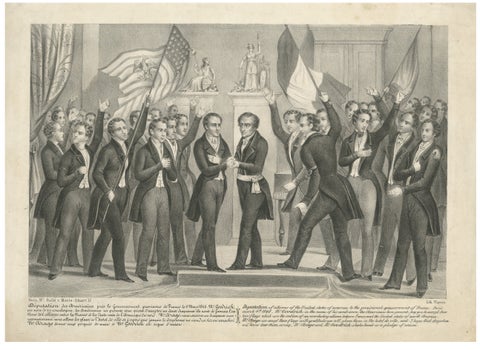 French Revolution of 1848, American Delegation to Provisional Government, c.1848
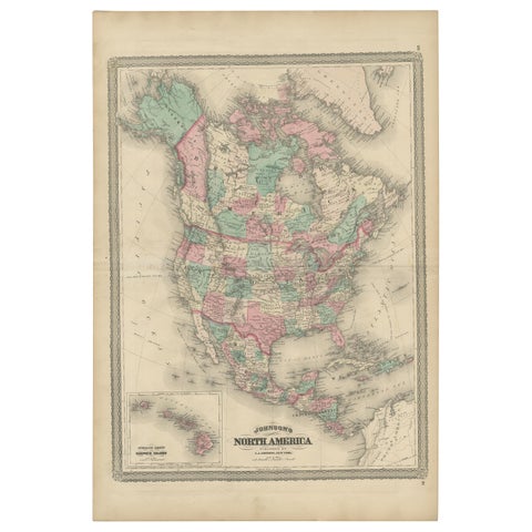 Antique Map of North America by Johnson, '1872'
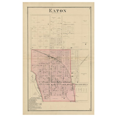 Antique Map of Eaton 'Ohio' by Titus, 1871
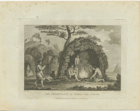 Daily Life in Tierra del Fuego: A Glimpse of the Fuegian People in 1783
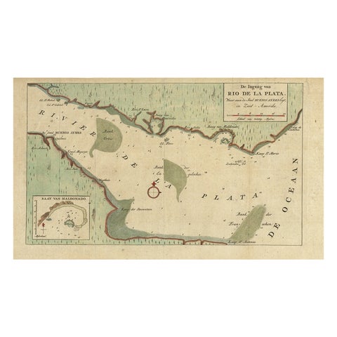 Rare Antique Map of the Rio De La Plata, Buenos Ayres, Brazil, ca.1760
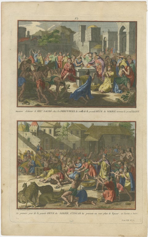 Original Antique Hand-Coloured Engraving of the Inca Sun Festival, Peru, c.1777
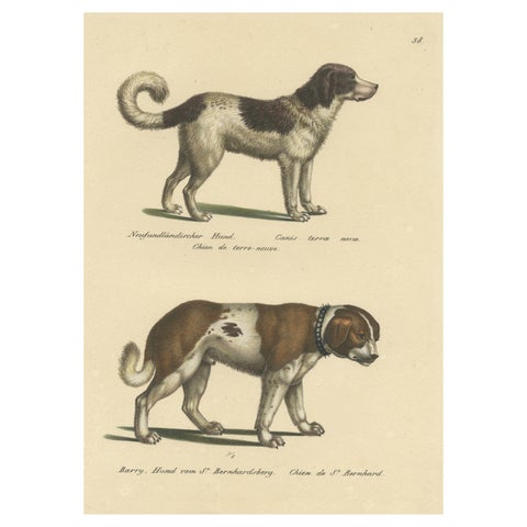 Antique Hand Colored Print of a Newfoundland and St. Bernard Dog
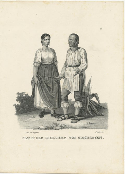 Antique Steel Engraved Print showing Natives of Michoacan, Mexico, ca.1845
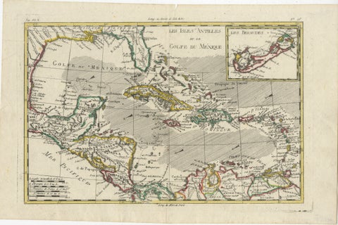 Original Engraving of the West Indies, Gulf of Mexico, Antilles, Caribbean, 1780
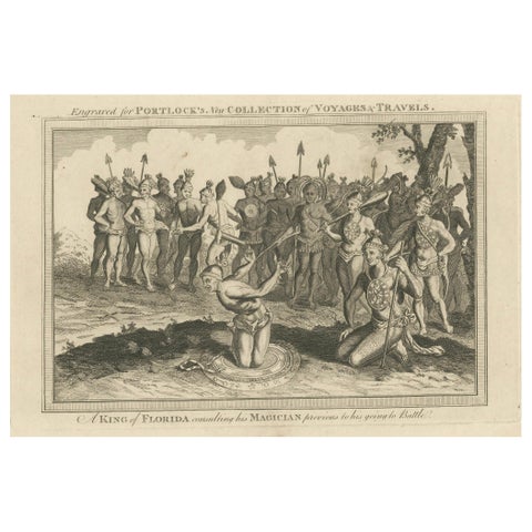 Pre-Battle Rituals: The King of Florida and His Magician, ca.1780
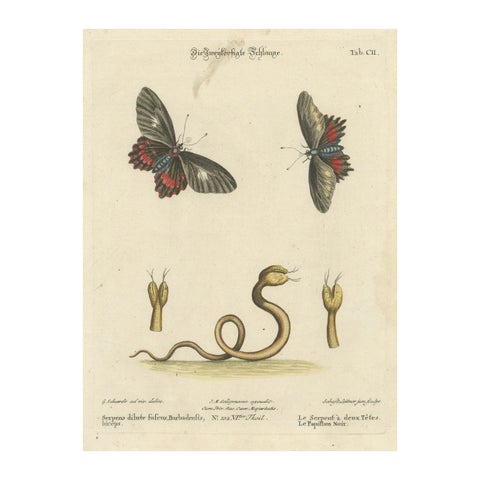 The Two-Headed Serpent and the Black Butterfly, 1749
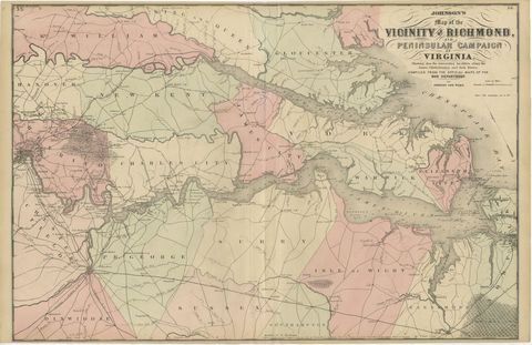 1862 Johnson's Map of the Vicinity of Richmond & Peninsular Campaign, Virginia
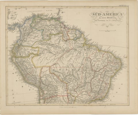 1857 Map of Northern South America – Brazil, Colombia, Peru by Stülpnagel
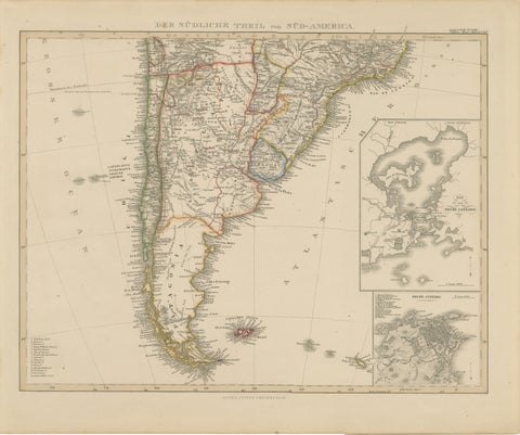 1857 Map of Southern South America – Argentina, Chile, Rio de Janeiro
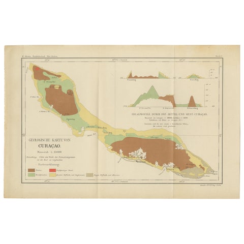 Antique Geological Map of Curaçao - Hand Colored Dutch Caribbean, 1888
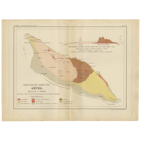 Antique Geological Map of Aruba - Dutch West Indies by Karl Martin, 1888
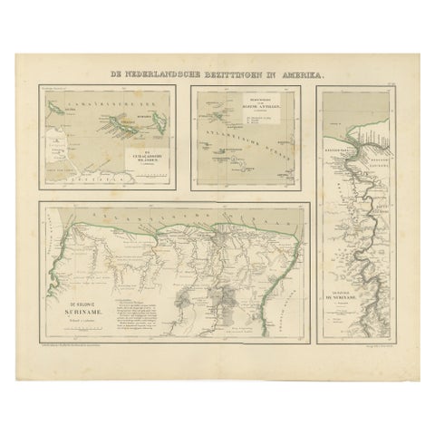 Antique Map of Dutch Colonies in the Caribbean & Suriname by Dornseiffen, 1884
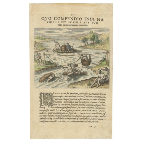 America, River Crossing by Indigenous People with Rafts and Canoes, De Bry, 1594
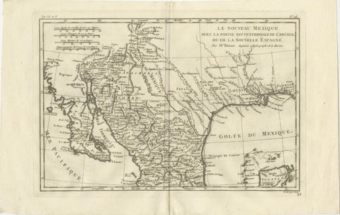 New Mexico & Northern New Spain – Enlightenment Map by Rigobert Bonne, c.1780
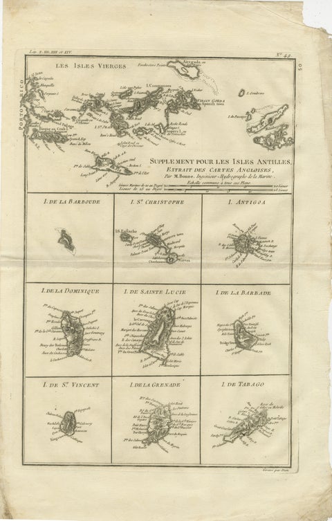 Antique Caribbean Map — Virgin Islands and Antilles Atlas Sheet, Bonne c.1780
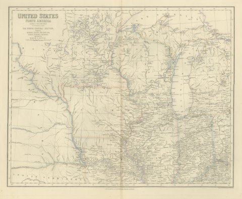 Antique Map of the North Central United States and Lake Michigan, circa 1860
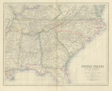 Antique Map of the South Eastern United States with Cape Hatteras, circa 1860
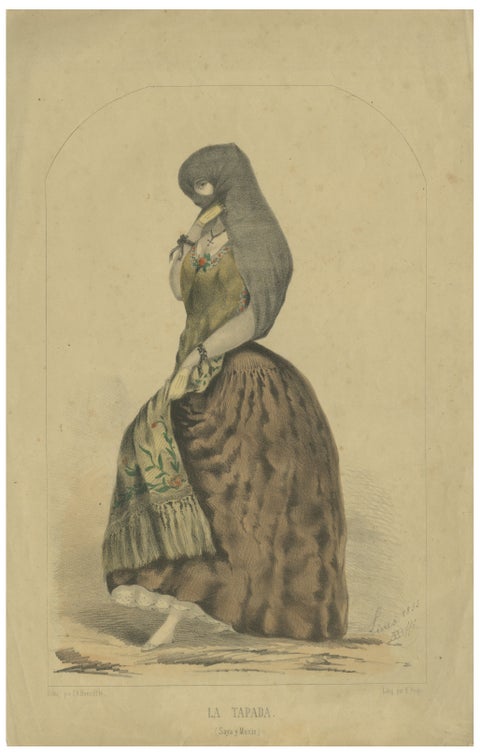 Original Antique Costume Print "La Tapada" of Lima, Peru by A.A. Bonnaffé, 1855
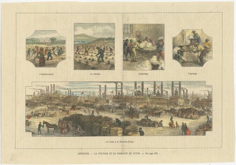 Antique Print Showing the Cotton Cultivation and Trade in America, Ca.1900
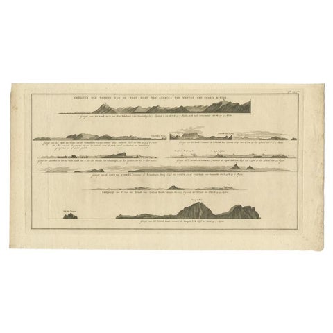 Antique Print with Coastal Views of Islands Near The American Coast by Cook
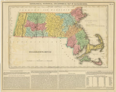 Antique Geographical, Historical and Statistical Map of Massachusetts, 1822
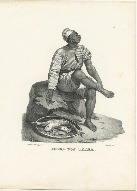 Antique Steel Engraved Print showing a Native of Bahia, Brazil
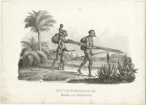 Antique Steel Engraved Print Showing Botocudo, South American Indian People
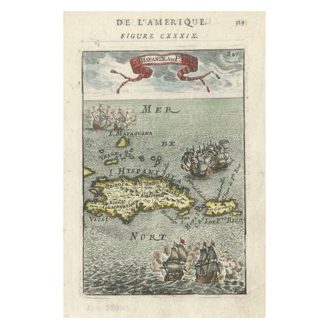 Antique 1683 Map of Hispaniola and Puerto Rico in the Caribbean by Mallet
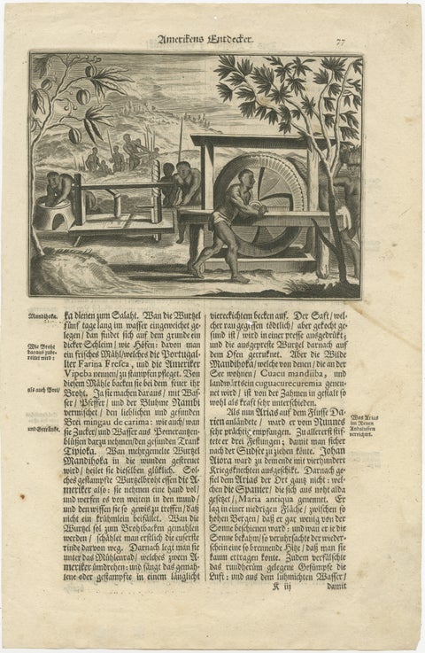 Historic View of Sugar Milling in 17th Century America, published in 1673
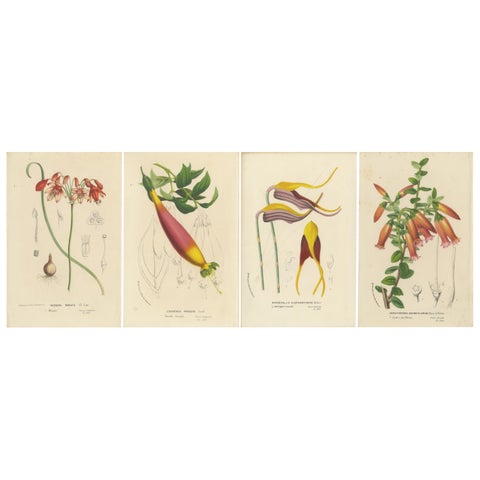 Floral Collection: Coral Drops, Prairie Gentian, Monkey Orchid, Bellflower, 1875
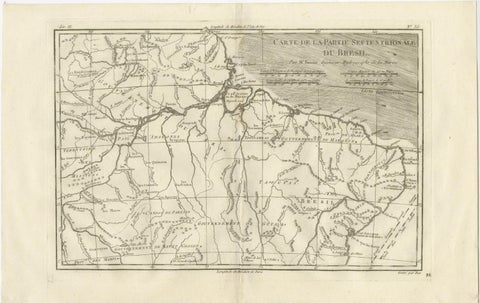 Northern Brazil & Amazon Basin – Enlightenment Map by Rigobert Bonne, c.1780
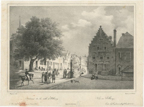 Albany, New York Street View, Original Lithograph after Tirpenne, c. 1840
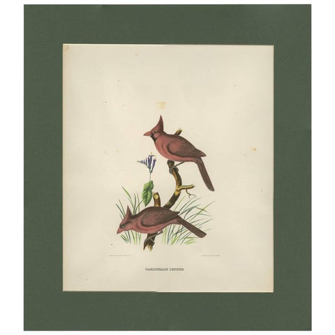 Antique Bird Print of Northern Cardinals Made After D.G. Elliot, 1869
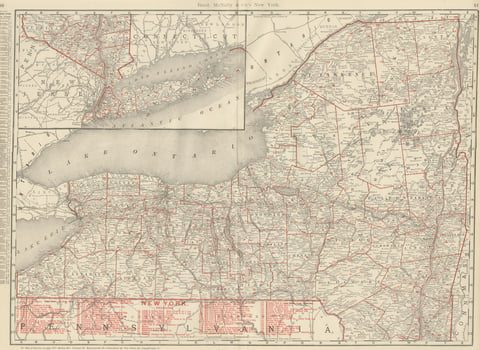 Antique Map of New York State, The Empire State, Rand McNally, 1899
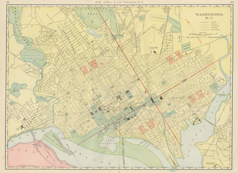 Antique Map of Washington, D.C., The Nation's Capital, Rand McNally, 1899
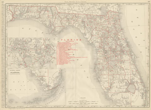 Antique Map of Florida, The Sunshine State, Rand McNally, 1899
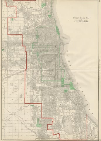 Antique Street Map of Chicago, with the Loop and Lakefront, Rand McNally, 1899
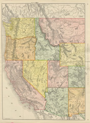 Antique Map of the Western United States, Denver to the Pacific Coast, 1899
Sharing the sale? Download the Black Friday banners.