About this sheet
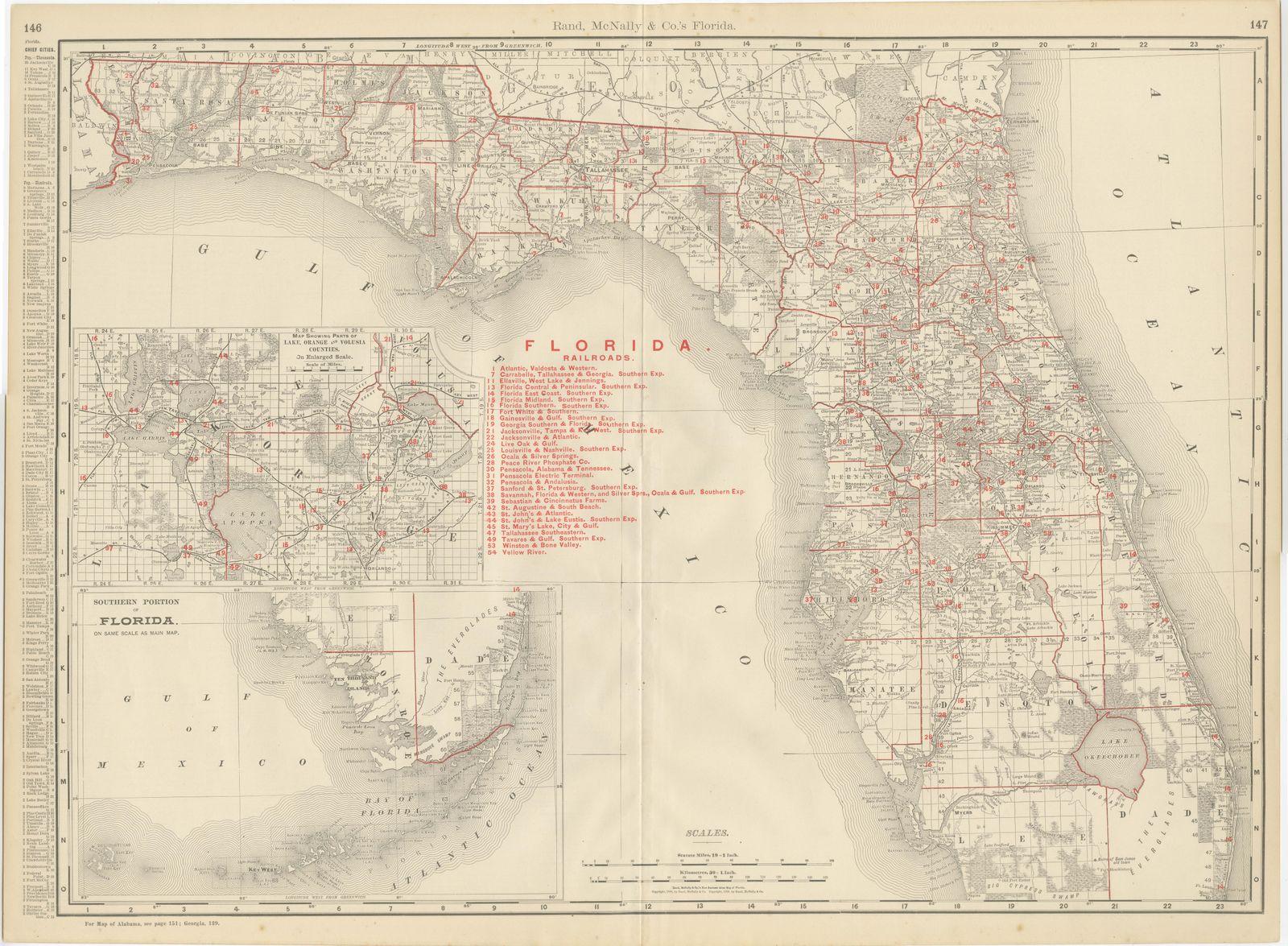
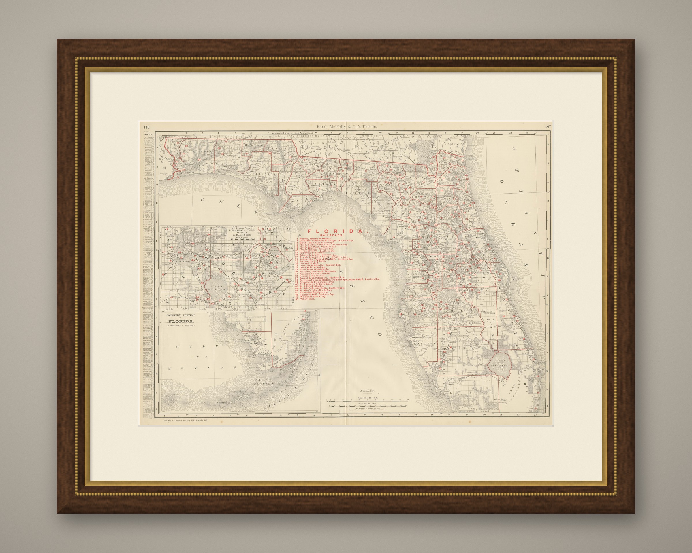
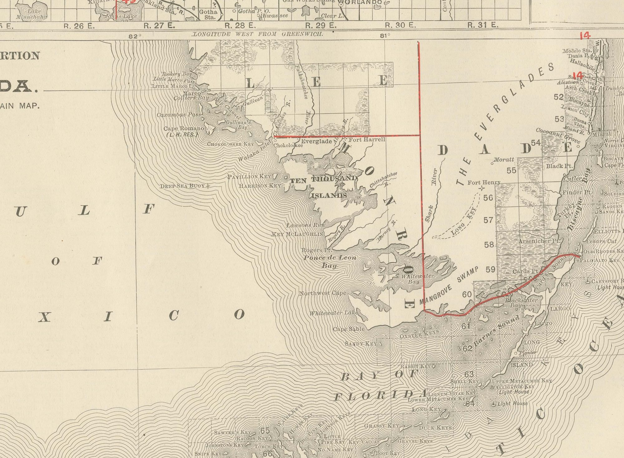
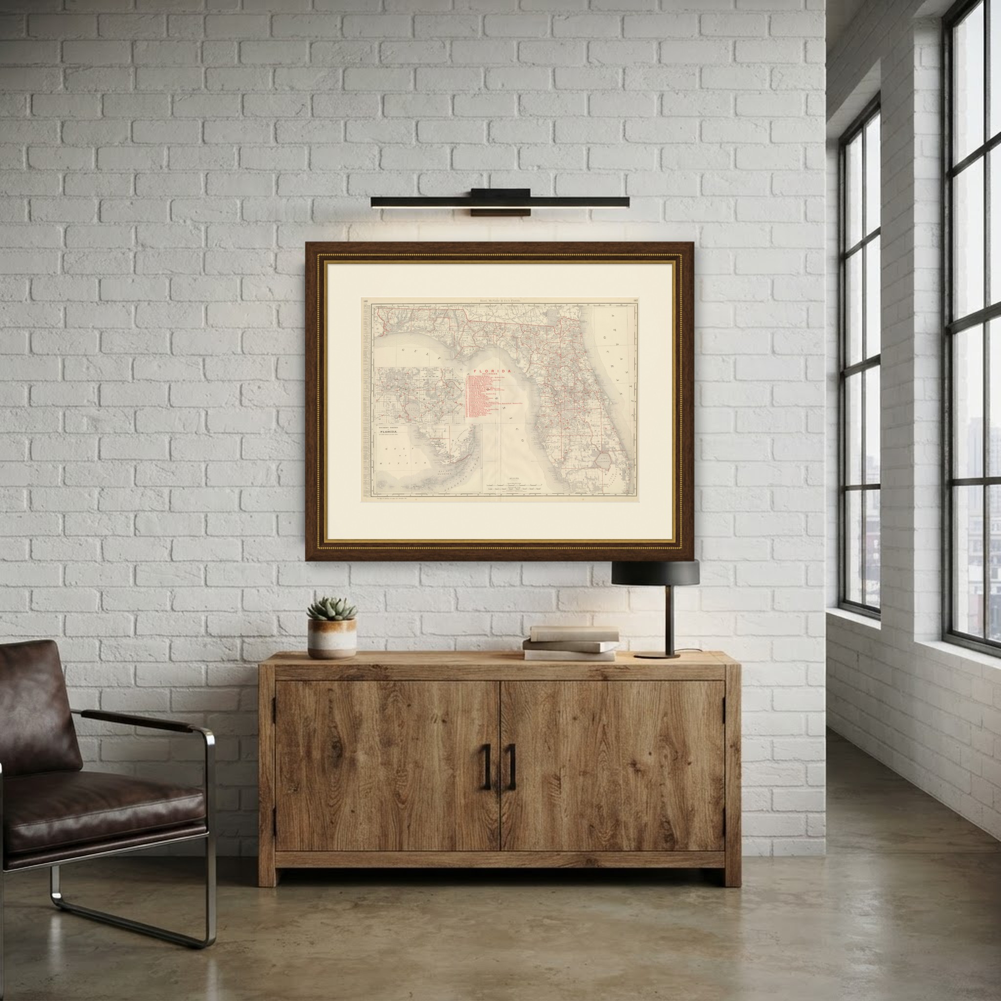
Here is an antique map of Florida from the 1899 Rand McNally indexed atlas, a double-page sheet on pages 146 and 147 running from Pensacola and the Panhandle across the peninsula, with an enlarged inset of the central lake district.
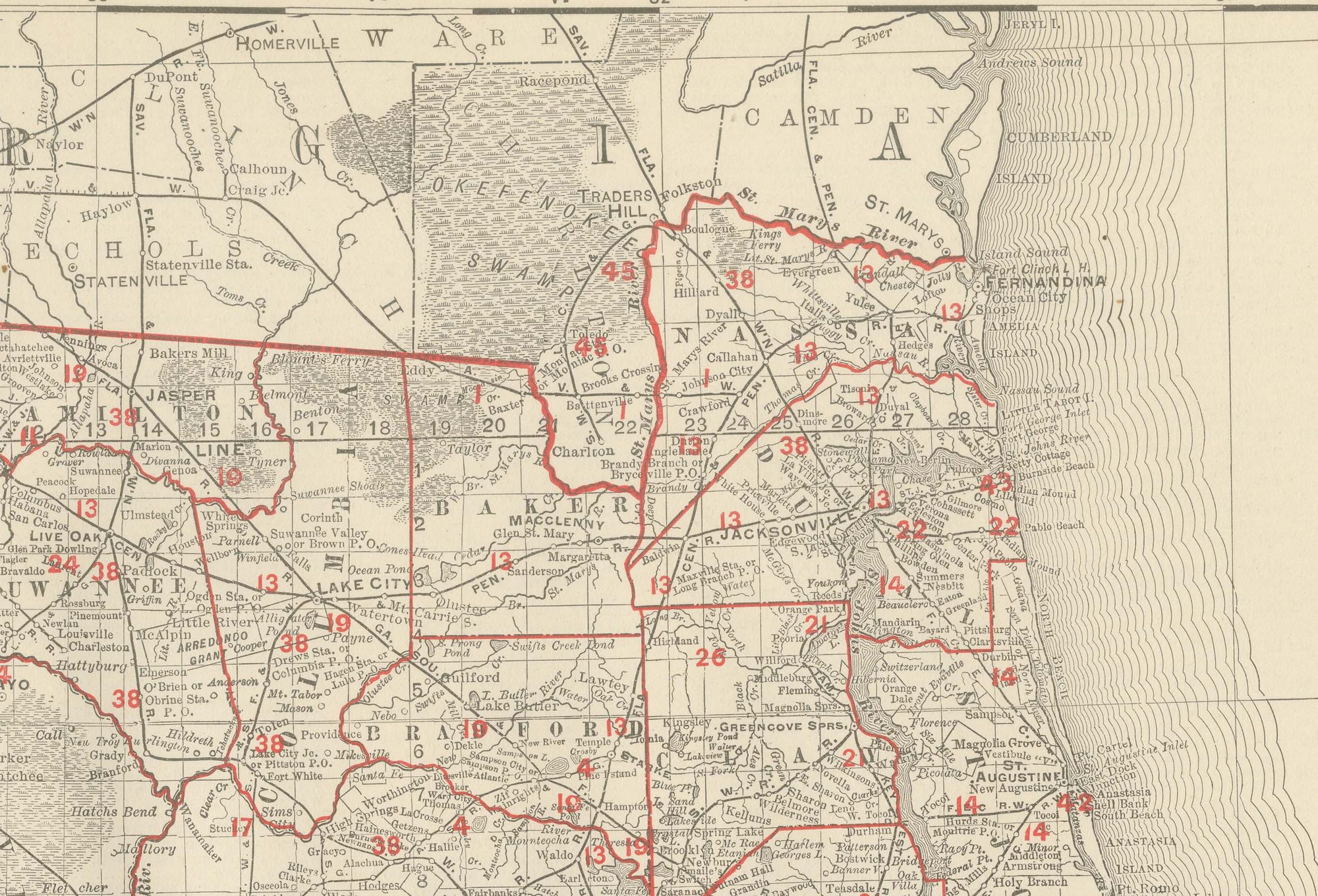
The main map reaches roughly as far south as the latitude of Lake Okeechobee, the frontier southern tip of the state largely off the main sheet, with a "Southern Portion" inset extending the coverage further. The boxed inset at lower left, "Map Showing Parts of Lake, Orange and Volusia Counties, on Enlarged Scale", zooms into the lakes around Lake Apopka and Lake Eustis, an area of rapidly expanding citrus cultivation at the close of the 1890s. Hundreds of named lakes and the slow northward course of the Saint Johns River are drawn in unusually fine detail for a state map of this scale.
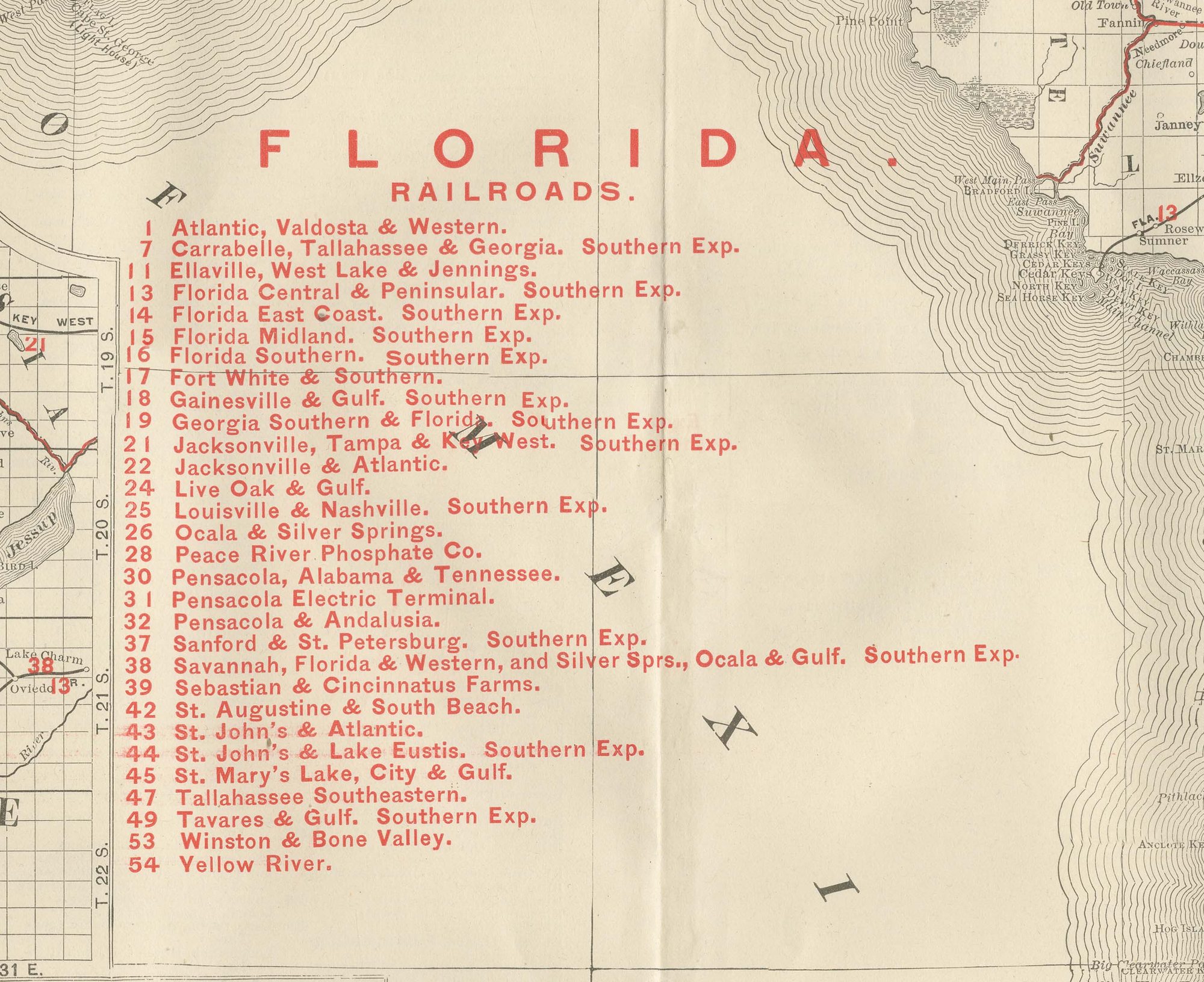
A railroad legend numbered in red at right lists over fifty companies, the Florida East Coast, the Florida Central and Peninsular, the Florida Southern, the Jacksonville, Tampa and Key West, and the Atlantic, Valdosta and Western among them, with Jacksonville, Tallahassee, the capital, and the developing Tampa Bay area named along the coast. The crowd of lakes, groves and small rail spurs across the central peninsula, set against the sparsely mapped country further south, records how far Henry Flagler's East Coast railway and the citrus boom had pushed the settlement frontier by 1899. Scale is given in statute miles at lower left, and a note at upper left directs the reader to the adjoining Georgia and Alabama sheets.
Rand McNally's roots lie in a Chicago printing business started by William Rand in the 1850s and joined by Andrew McNally. The firm had become one of the foremost map publishers in the United States by the 1890s, and its indexed atlas of 1899 shows the house speciality at work: railroad and commercial maps revised from issue to issue.
Technically the sheet is a lithograph with printed colour: the outline was printed in black and the colours were printed over it, so none of the colouring was added by hand. Once framed, this antique map of Florida would suit a home or office in the state today, and it will appeal to collectors of American state maps and railroad history.
The sheet is in good condition for its age, with light, even age toning, minor wear to the right edge and the original central fold as issued. Please review the images for further condition details.
This is an original antique map, not a modern reproduction. This item is sold unframed. Any framed or interior images are shown for presentation and inspiration only, unless the listing explicitly states that the item is sold framed.