About this sheet
Antique Caribbean Map — Virgin Islands and Antilles Atlas Sheet, Bonne c.1780
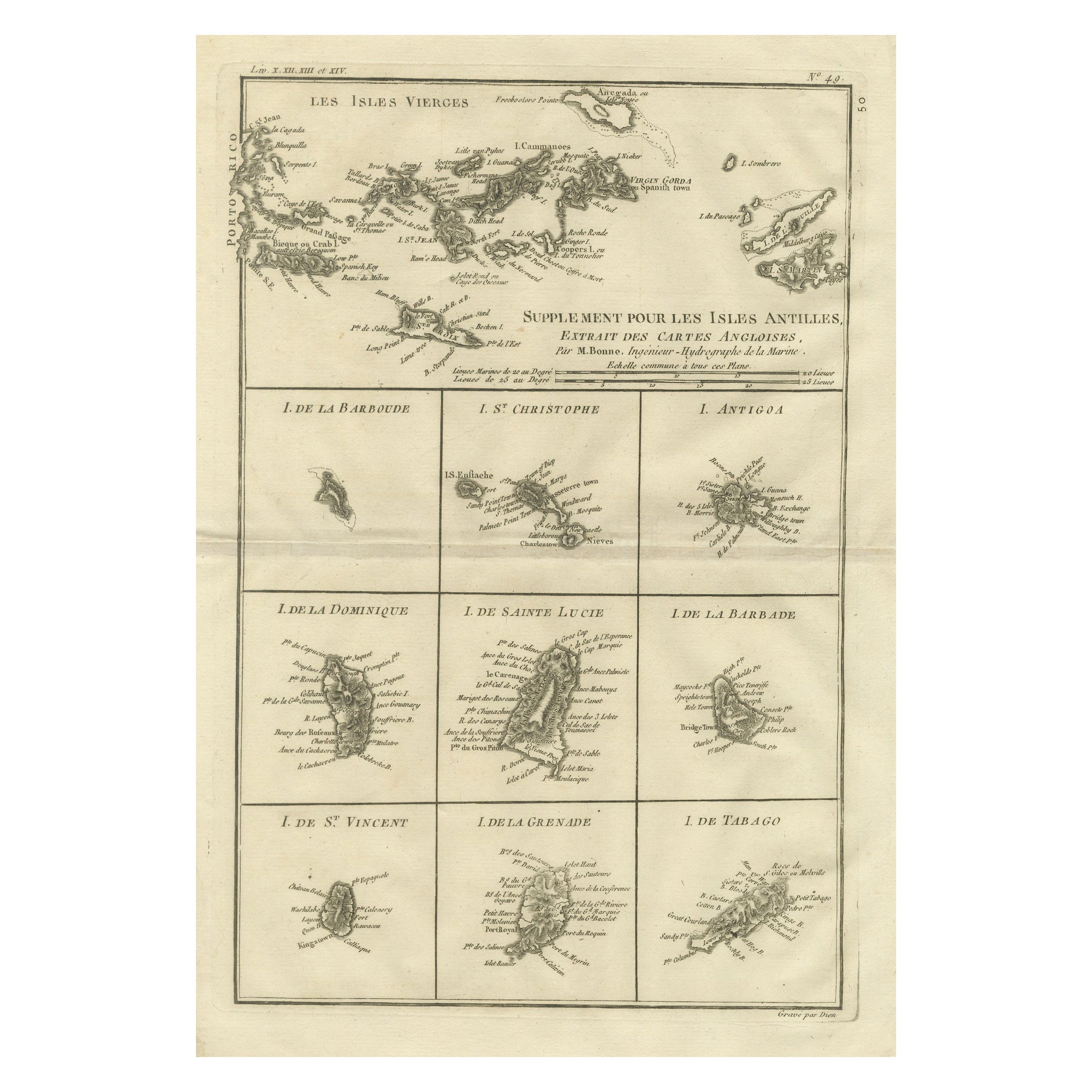
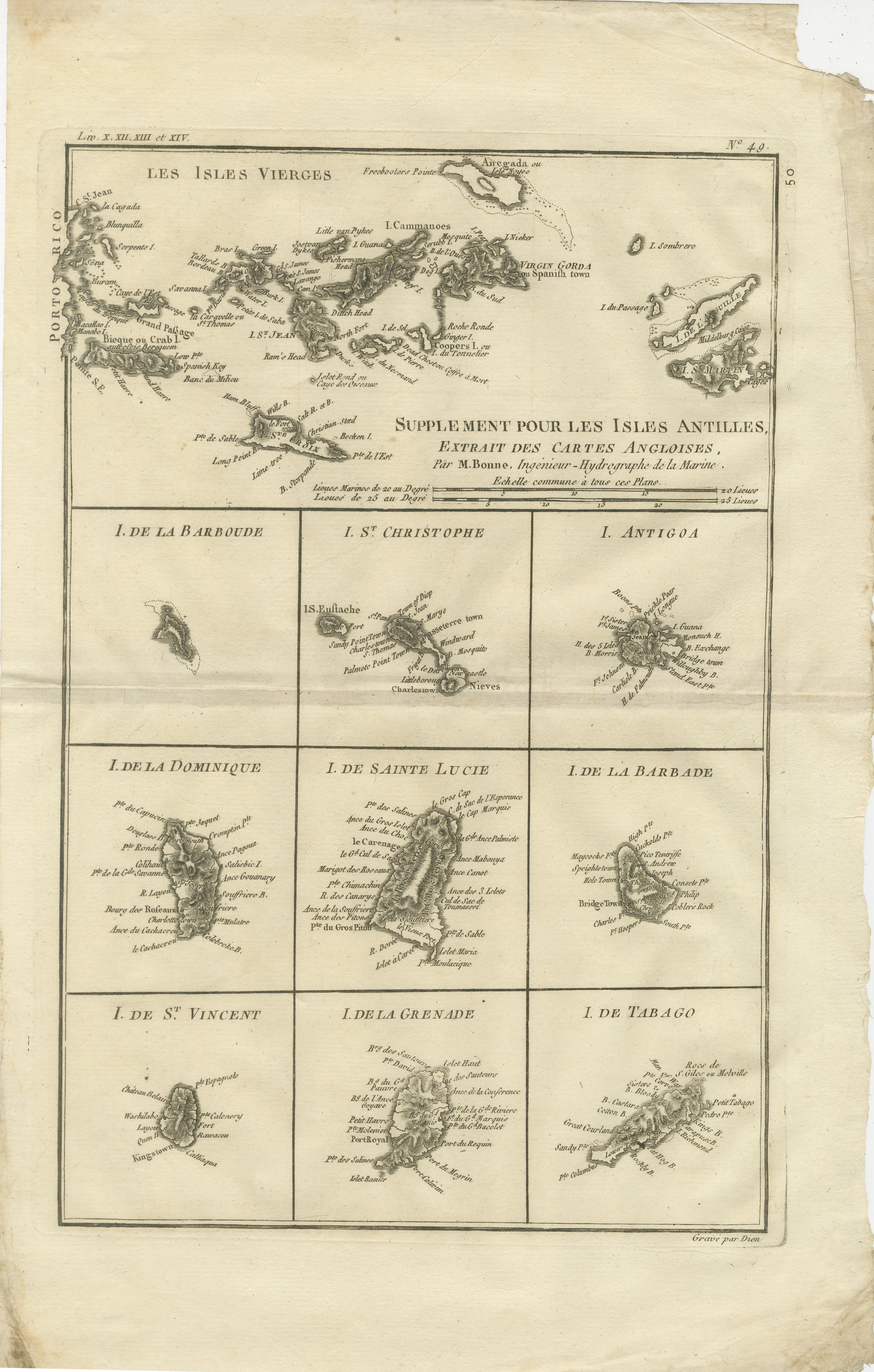
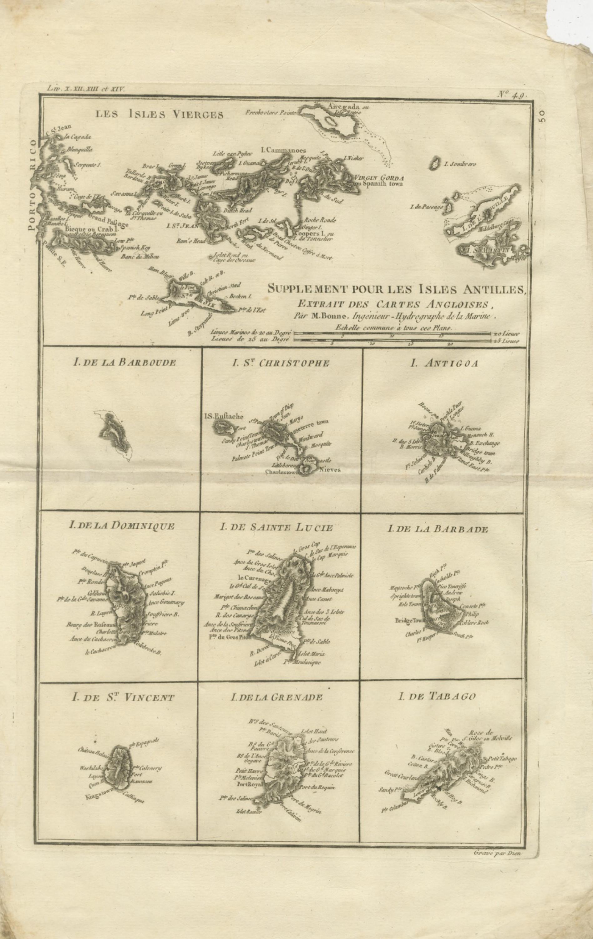
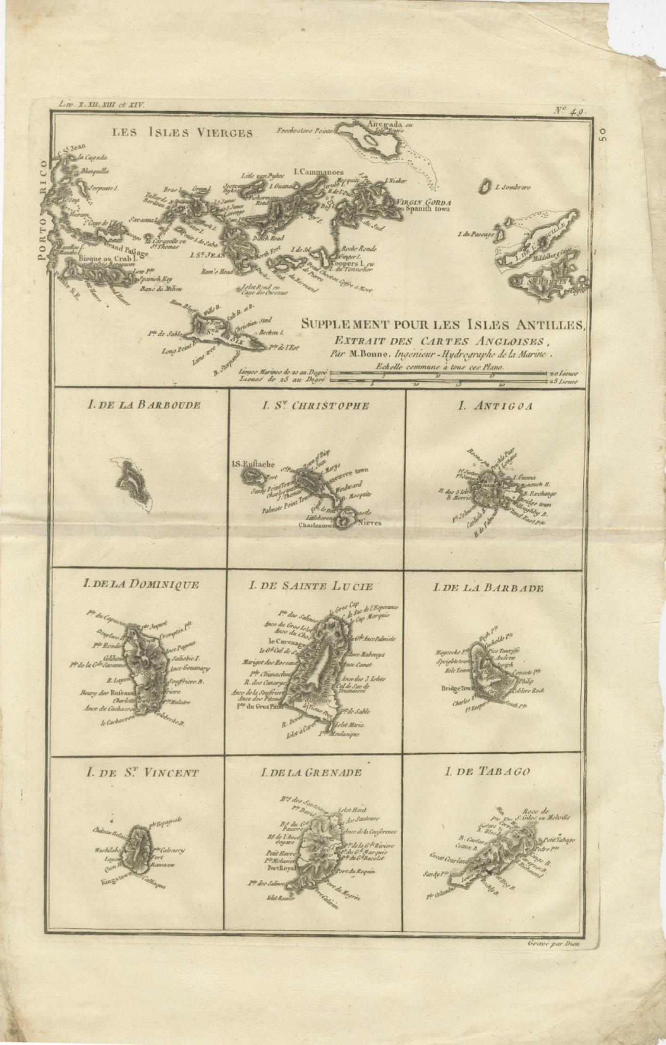
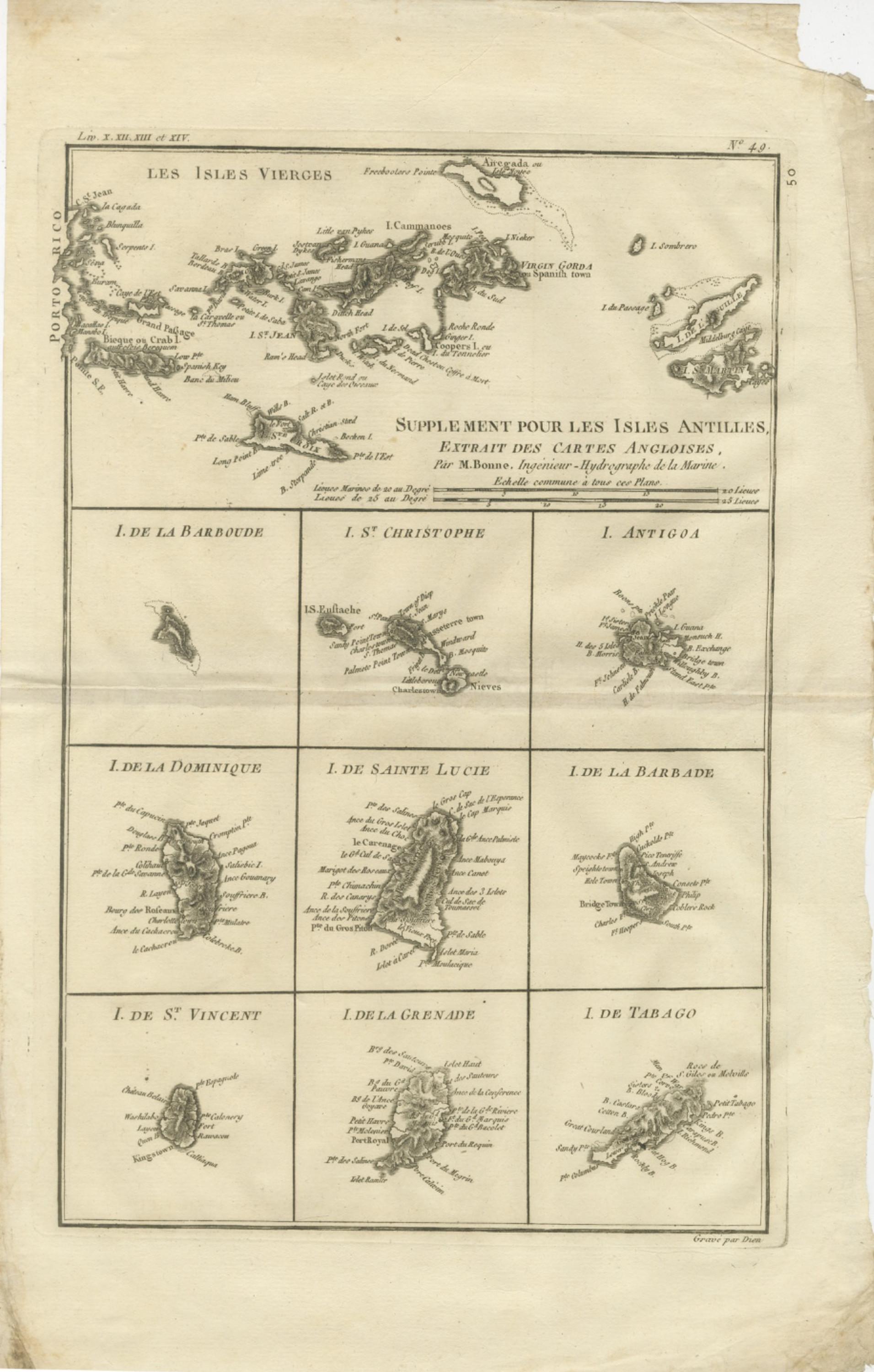
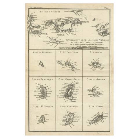
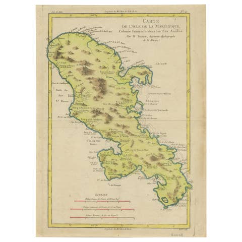
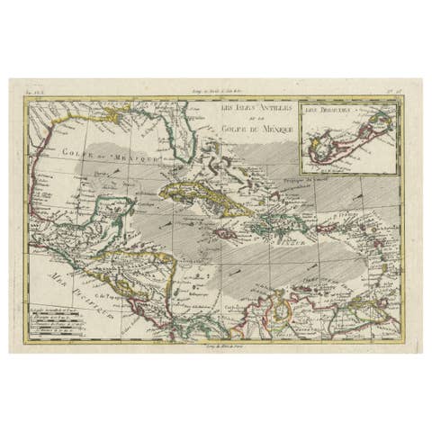
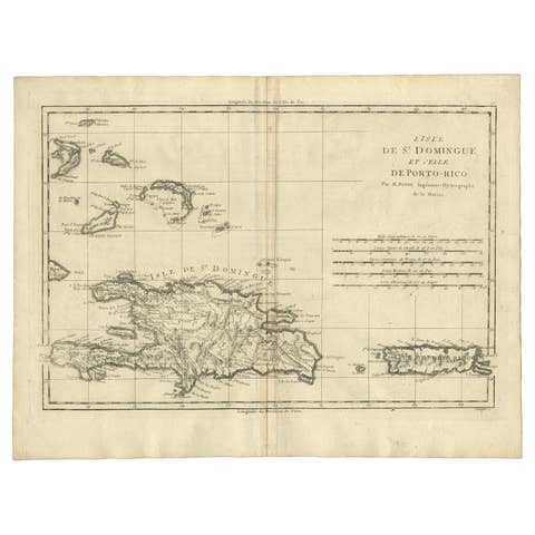
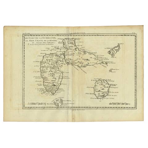
This finely engraved eighteenth-century composite map sheet by Rigobert Bonne presents a detailed overview of the Virgin Islands together with a series of smaller maps depicting key islands of the Lesser Antilles. Engraved circa 1780, the work reflects Bonne’s influential role as Ingénieur-Hydrographe de la Marine and chief cartographer at the Dépôt de la Marine in Paris, where he succeeded Jacques-Nicolas Bellin and contributed significantly to the development of Enlightenment cartography. His approach emphasized clarity, geographic precision, and standardized measurement, moving away from elaborate decorative elements toward scientific readability.
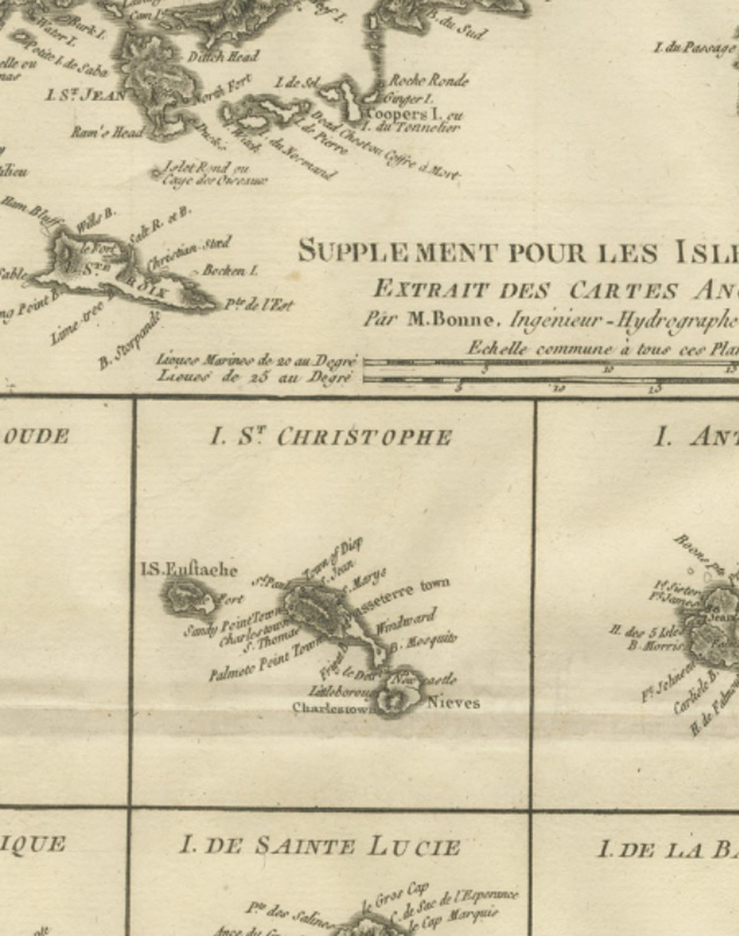
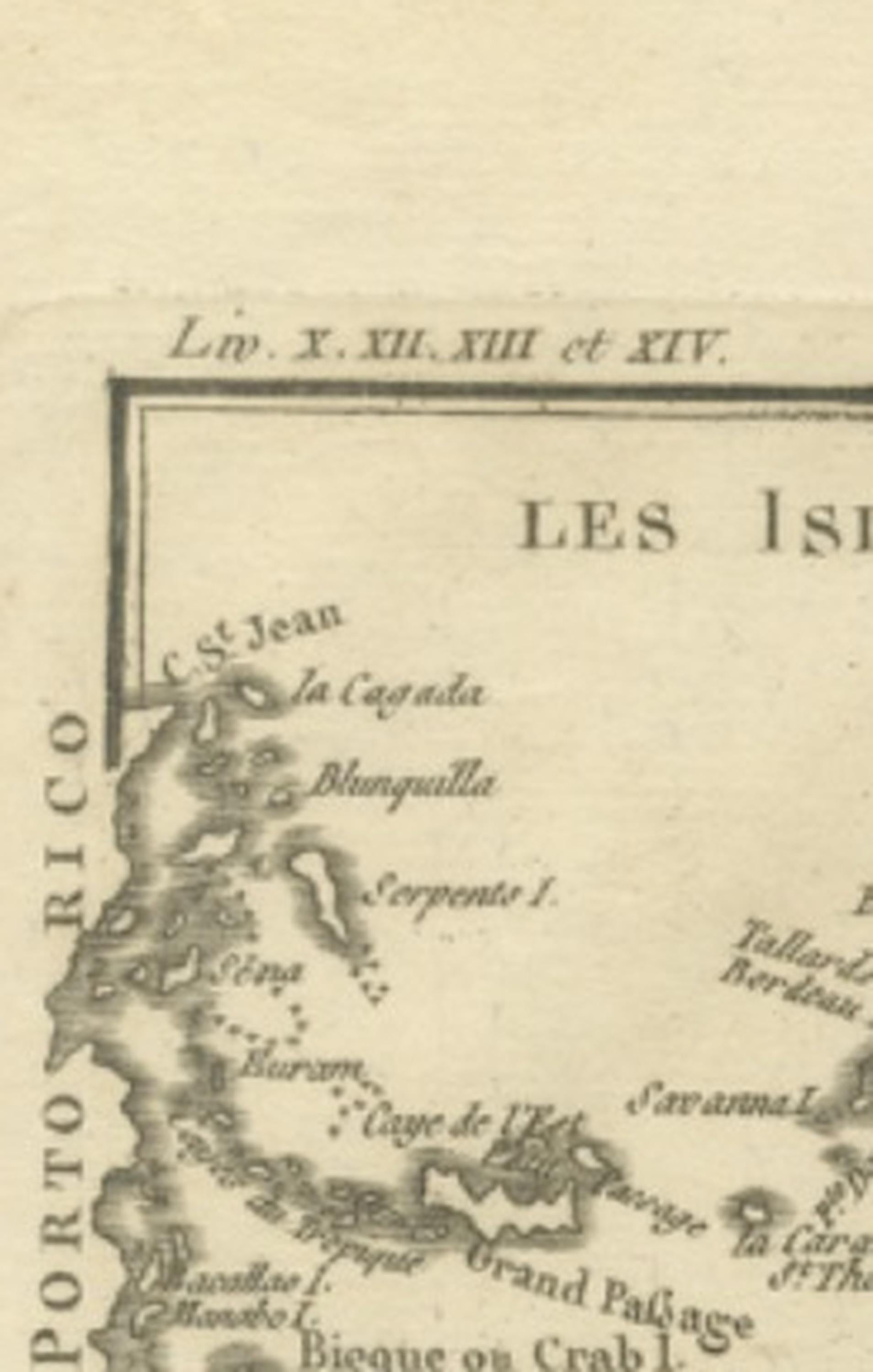
The upper section features “Les Isles Vierges,” illustrating the Virgin Islands archipelago with remarkable precision, including Tortola, Virgin Gorda, St. John, St. Thomas, and surrounding smaller islands. Coastal profiles, anchorages, and geographic features are rendered with delicate linework, reflecting the maritime importance of this region during the age of European colonial expansion and transatlantic trade.
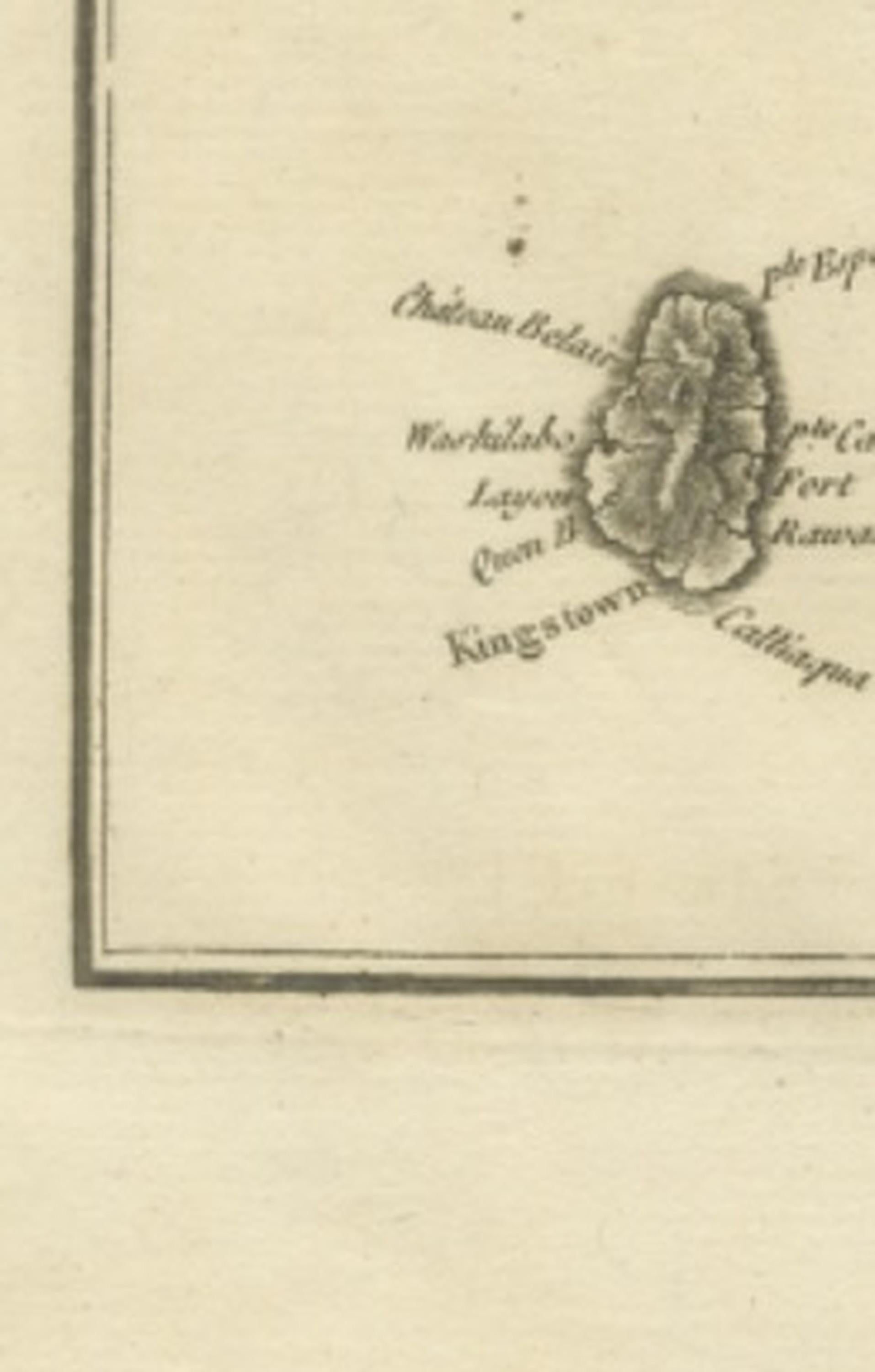
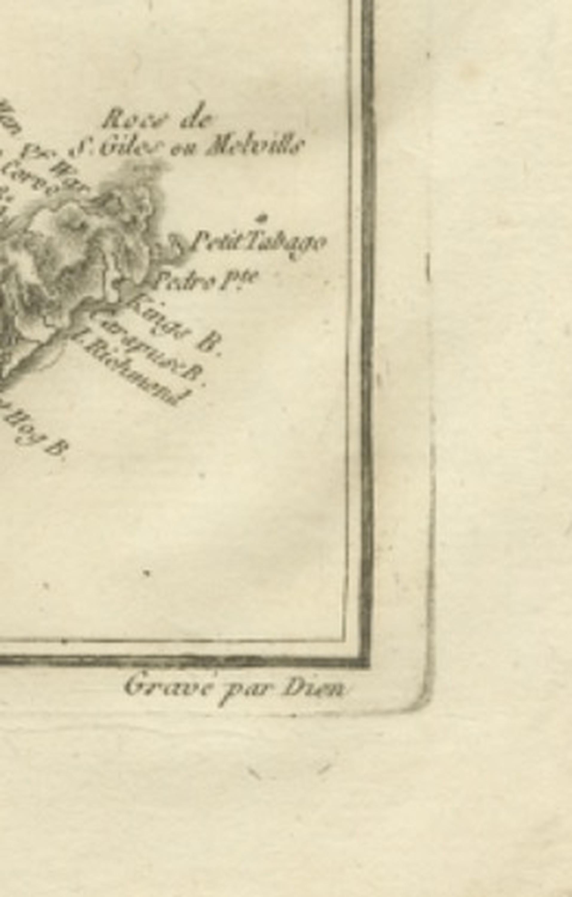
Below, the sheet includes a grid of inset maps labeled as a supplement to the Antilles, each depicting individual Caribbean islands with clarity and scale appropriate for navigational reference. These include Barbuda (La Barboude), St. Christopher (St. Kitts), Antigua, Dominica, St. Lucia, Barbados, St. Vincent, Grenada, and Tobago. Each island is carefully engraved with coastal outlines, settlements, and geographic features, providing a concise yet informative visual reference to the diverse colonial territories of the Caribbean during the late eighteenth century.
Bonne’s restrained engraving style is evident throughout, with minimal ornamentation and a clear typographic hierarchy that enhances readability and balance. The atlas-sheet format offers both historical significance and decorative versatility, appealing to collectors interested in colonial Caribbean geography as well as interior designers seeking refined historical wall pieces.
As part of Bonne’s mature cartographic output, this map captures European geographic knowledge of the Caribbean during a period of intense imperial competition and maritime activity. The combination of a regional overview with multiple detailed island insets makes it particularly attractive for collectors and historians alike.
Condition report: Good antique condition with age-related toning, visible central fold as issued, light scattered spotting, and minor edge wear; upper margin shows areas of wear consistent with age; margins remain suitable for framing.
Framing tips: Particularly effective in a dark walnut or black frame with an ivory or warm off-white mat; the composite layout lends itself well to museum-style presentation, allowing viewers to appreciate both the overview and individual island details.
Technique: Copperplate engraving
Maker: Rigobert Bonne, France, circa 1780
Keyword block: Virgin Islands antique map, Caribbean Antilles atlas sheet, Rigobert Bonne map, Lesser Antilles antique map, Barbados Antigua Dominica map antique, Grenada Tobago St Lucia map, Enlightenment cartography Caribbean, Dépôt de la Marine map, French colonial Caribbean chart, 18th century West Indies map, antique Caribbean engraving, maritime navigation Caribbean map, French hydrographic chart Antilles, historical Virgin Islands map, decorative antique Caribbean map, Bonne engraving atlas, colonial Caribbean geography map, antique French cartography, West Indies island maps, scientific cartography France.