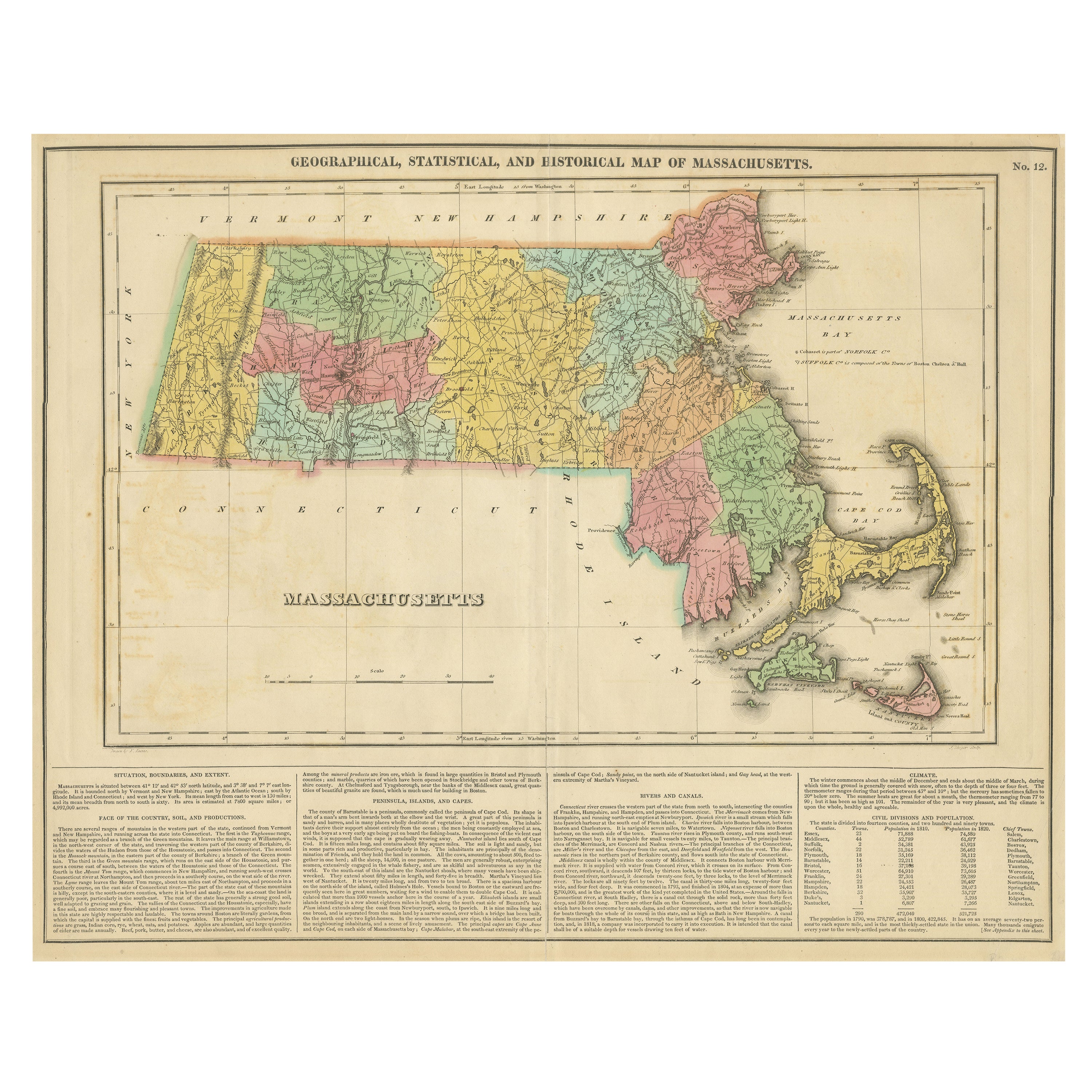

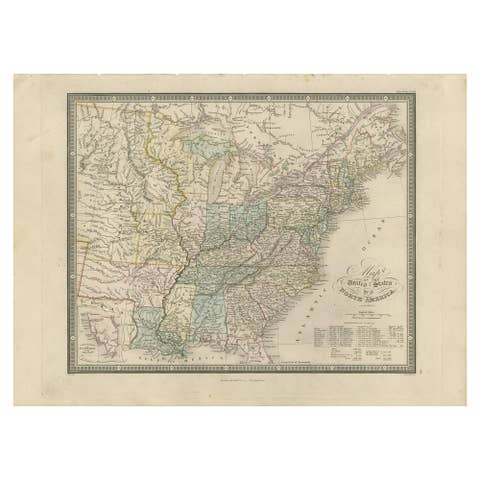
Antique Geographical, Historical and Statistical Map of Massachusetts, 1822
€ 380
One of a kind: this is the sheet in the photographs. Ships from Langweer, the Netherlands.
Date
1822
Technique
Engraved
Sheet size
43.5 × 54.5 cm (17.1 × 21.5 in)
Condition
Good
Reference
BG-13191-18
Condition
to Very Good. The folding line on the back has been professionally strengthened with tape as well as one corner.
About this sheet
This attractive map of Massachusetts presents a finely detailed overview of the state in the first quarter of the 19th century.
Transportation routes (mostly unpaved postal routes) can be seen serving largely agrarian communities, many of which are clustered along the several navigable rivers and extensive coastline. Counties are colored by hand, confirmed by the overlooking of Cohasett. The locations of historic battle sites and sieges, of which there are numerous are show as red flags dotted throughout the image. Several navigational hazards are also identified in the Atlantic. The bottom third of the sheet contains extensive text outlining the geography, climate, and political composition of the state. The map, designed by Fielding Lucas, Jr. and engraved by J. Yeager, was issued as plate number 12 in the 1822 edition of Carey & Lea’s A Complete Historical, Chronological, and Geographical American Atlas.
This important American publication was issued in six separate editions and three different languages between 1822 and 1827. It was heavily influenced by an earlier European atlas by Emmanuel Las Cases (published under the pseudonym A. Lesage.), which inspired the format of a base map surrounded by blocks of informative text and tables of statistics.
Henry Carey, a political economist and the son of prominent publisher Matthew Carey, and his brother-in-law Isaac Lea incorporated this novel theme into their atlas, which focused entirely on the countries of the Western Hemisphere. It was issued at a time of tremendous political change in both North and South America, and the detailed maps accompanied by extensive text provide a unique, often insightful, perspective on the problems and possibilities of the Americas in the first quarter of the 19th century.
Condition: Good to Very Good. The folding line on the back has been professionally strengthened with tape as well as one corner.