1849 Hand-Colored Map of Fort Smith to Santa Fe Route, Detailing Trails & Camps
€ 420
Original antique · The actual sheet photographed · Certificate of authenticity on request · Sold unframed · Worldwide shipping from € 15 (rates)
Date
1849
Sheet size
31.5 × 51.1 cm (12.4 × 20.1 in)
Condition
Good
Reference
BG-13866
What the condition grades mean
Excellent
Bright and clean, with no faults worth mentioning.
Very good
Only light signs of age, such as faint toning.
Good
Normal signs of age for a sheet of this period: toning, some foxing, small marks or neat old repairs.
Fair
Clear faults such as staining, tears or repairs, priced to match.
Every fault we see is written in the condition note, and the whole sheet is shown uncropped in the photos.
Condition
Good Condition. Issued folding, now flat, with light scattered foxing and a few tiny separations along the folds.
About this sheet
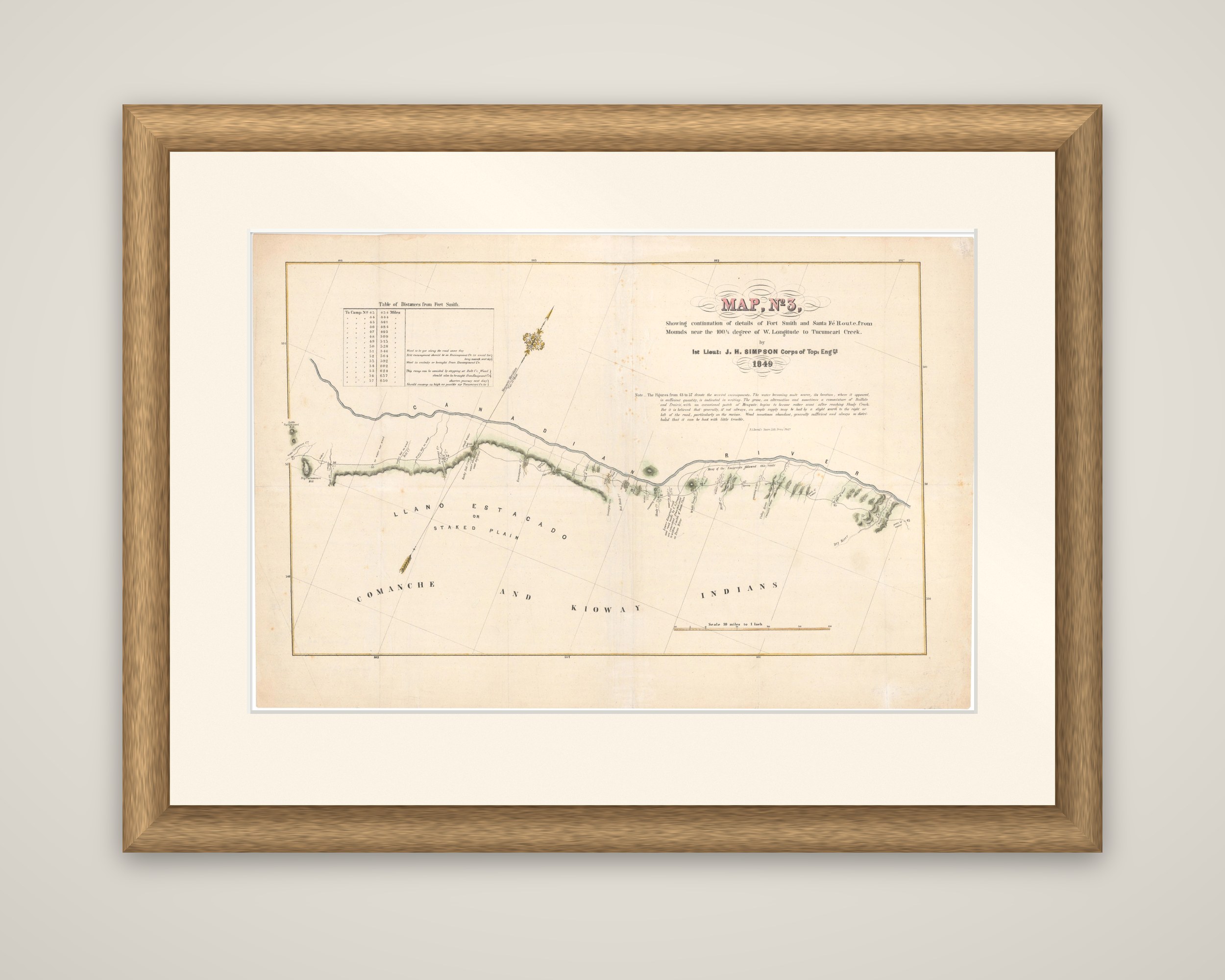
A route map of the Fort Smith to Santa Fe road, "Map No. 3", by Lieutenant J. H. Simpson of the Corps of Topographical Engineers, 1849, a hand-colored map from Senate Executive Document 12, 31st Congress, 1st Session. Its full title reads "Showing continuation of details of Fort Smith and Santa Fe Route, from Mounds near the 100½° degree of W. Longitude to Tucumcari Creek".
It is the third of four sheets that follow the emigrant road along the Canadian River. The river runs in a long curve across the center of the sheet, with the trail drawn beside it and the camping places, wood and water, crossings and hills marked along the route in small notes and in light green hill shading. A table at the upper left lists the distances from Fort Smith, and a note below the title remarks on the character of the country and the water. Large lettering across the lower half reads "Llano Estacado or Staked Plain" and "Comanche and Kiowa Indians", marking the plains south of the river, with a scale of ten miles to an inch at the foot.
Simpson's survey was made for the army as a guide for the emigrants then crossing to California and New Mexico, and the sheet shows the Southern Plains as a long road with water and wood the travelers' main concern, the whole country unsettled.