Antique Geological Map of Curaçao - Hand Colored Dutch Caribbean, 1888
€ 390
Original antique · The actual sheet photographed · Certificate of authenticity on request · Sold unframed · Worldwide shipping from € 15 (rates)
Date
1888
Sheet size
28 × 43 cm (11.0 × 16.9 in)
Condition
Good
Reference
BG-14171-3
What the condition grades mean
Excellent
Bright and clean, with no faults worth mentioning.
Very good
Only light signs of age, such as faint toning.
Good
Normal signs of age for a sheet of this period: toning, some foxing, small marks or neat old repairs.
Fair
Clear faults such as staining, tears or repairs, priced to match.
Every fault we see is written in the condition note, and the whole sheet is shown uncropped in the photos.
Condition
Original folding map in very good antique condition. Even overall age toning consistent with 19th-century paper. Light fold lines as issued. Minor scattered foxing, mainly in the margins. Colors remain fresh and well preserved. No losses.
About this sheet
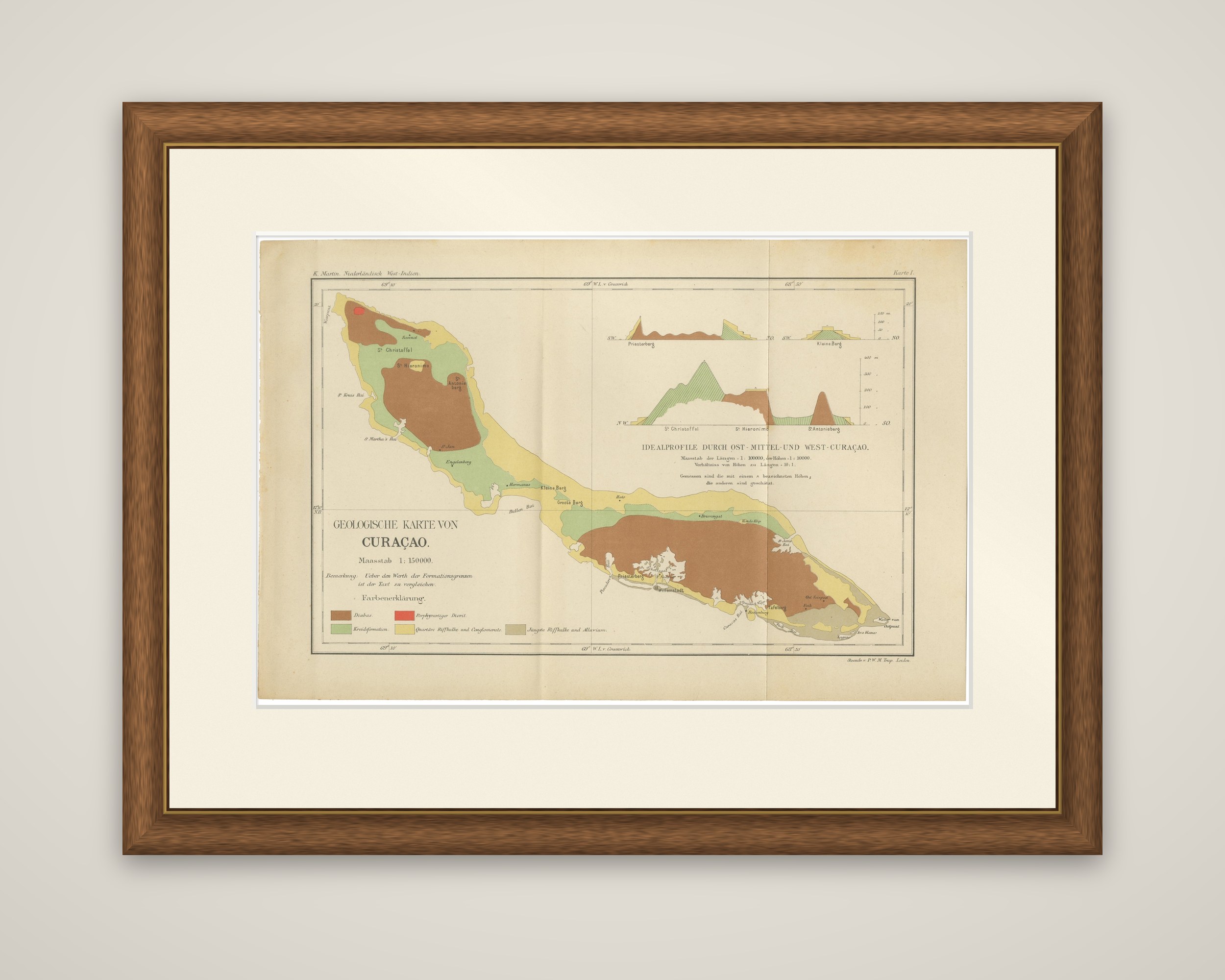
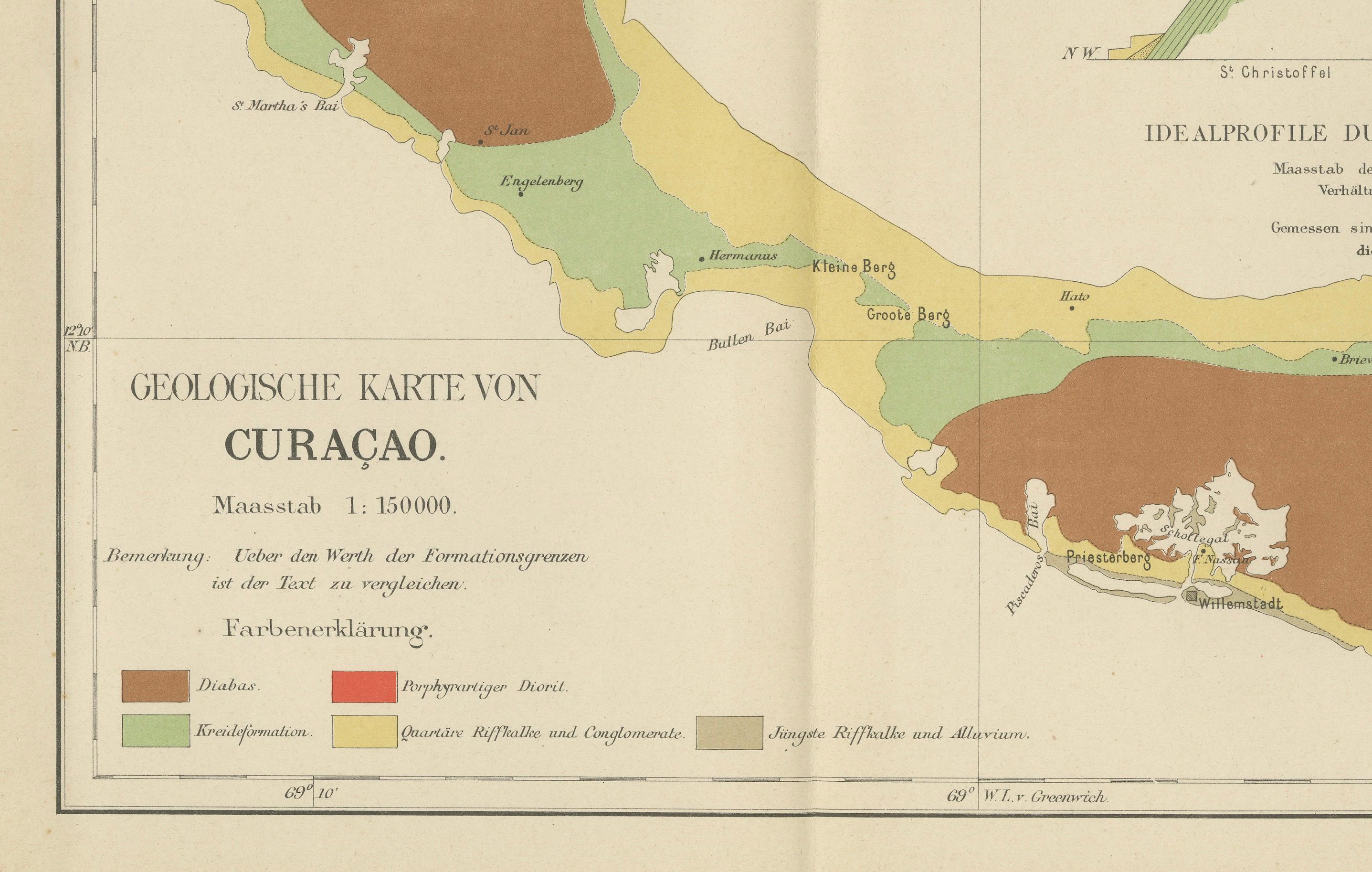
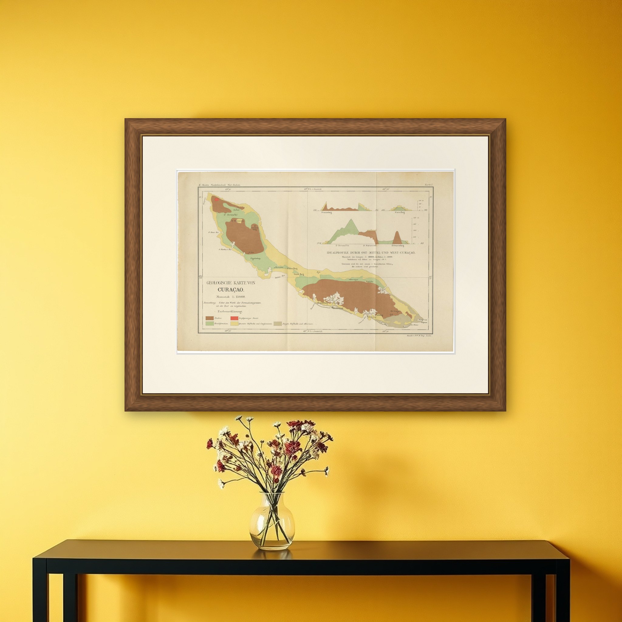
A geological map of Curacao, an original color lithograph from Karl Martin's Bericht uber eine Reise nach Niederlandisch West-Indien, published at Leiden by E. J. Brill in 1888. The sheet is titled "Geologische Karte von Curacao" at a scale of 1:150,000 and is lettered "Karte I" at the upper right, with the printer's imprint "P. W. M. Trap, Leiden" at the lower right.
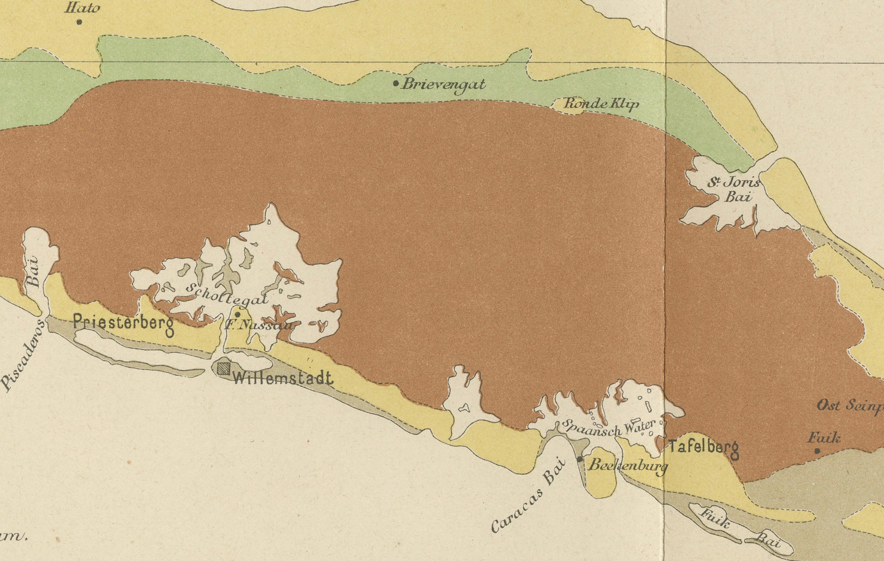
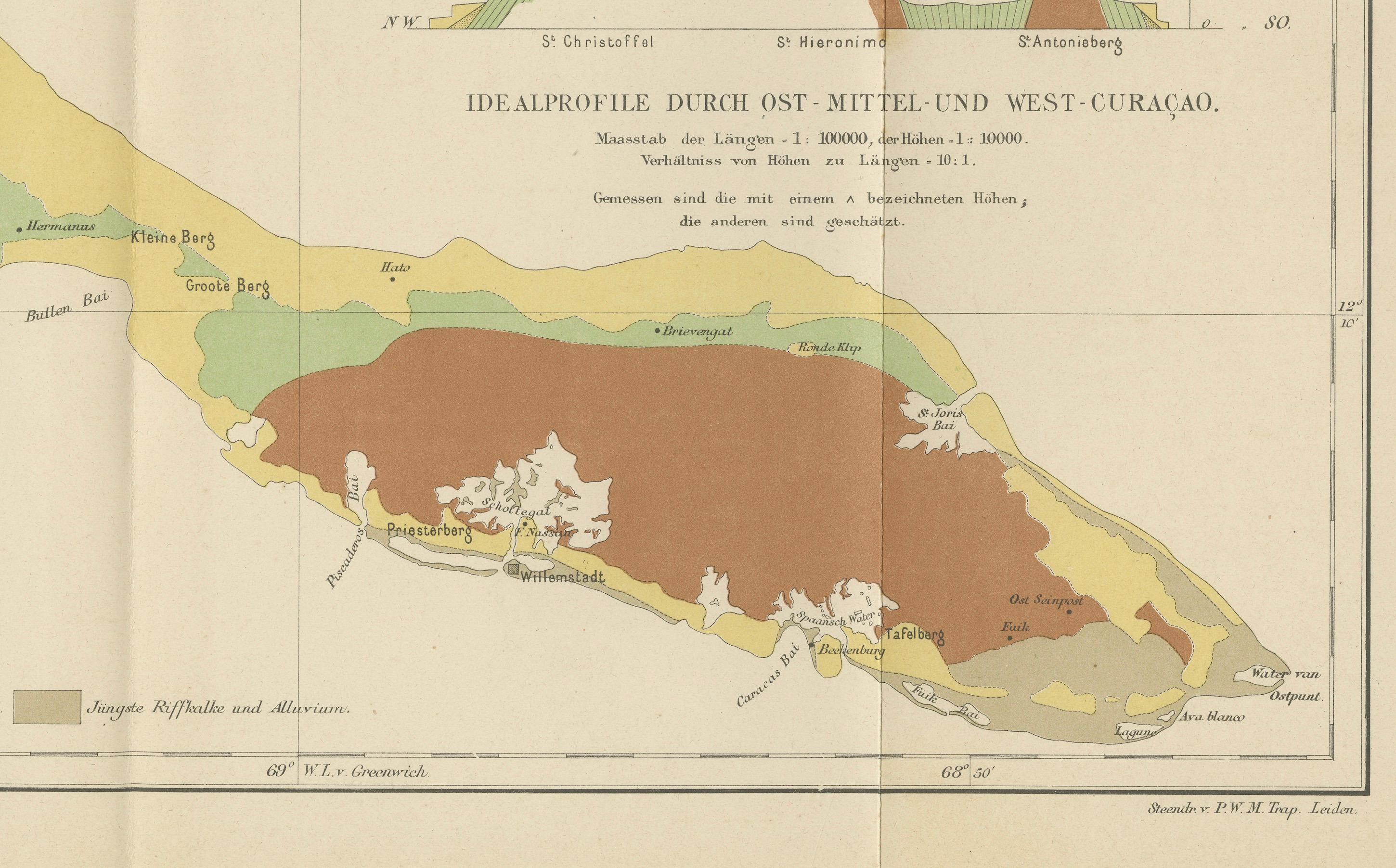
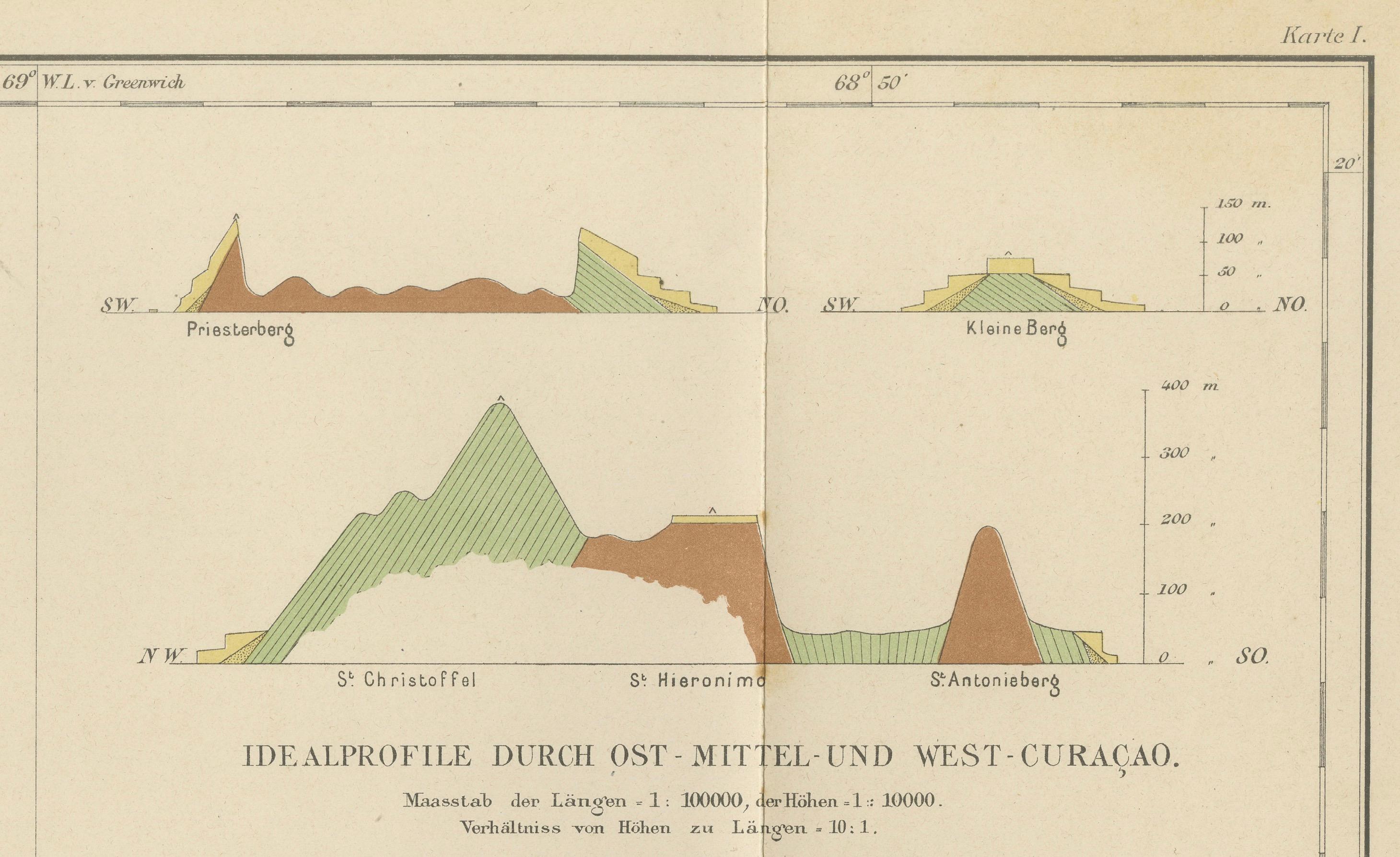
The long, narrow island runs from the northwest to the southeast. Its geology is shown in color blocks explained in a key at the lower left: brown for diabase, which forms the high ground at both ends, green for the Cretaceous formation, yellow for Quaternary reef limestones and conglomerates, and gray for the youngest reef limestones and alluvium, with a small red patch for porphyritic diorite. Hills such as St. Christoffel and St. Hieronymus, bays, and coastal places are named in fine lettering. At the upper right, "Idealprofile durch Ost-, Mittel- und West-Curacao" gives three cross-sections of the island drawn at a vertical exaggeration, with the formations colored to match the map.
Martin, professor of geology at Leiden, made the survey for the Dutch West Indies, and this map shows what he found of the island's volcanic core and the reef limestones that ring it.