About this sheet
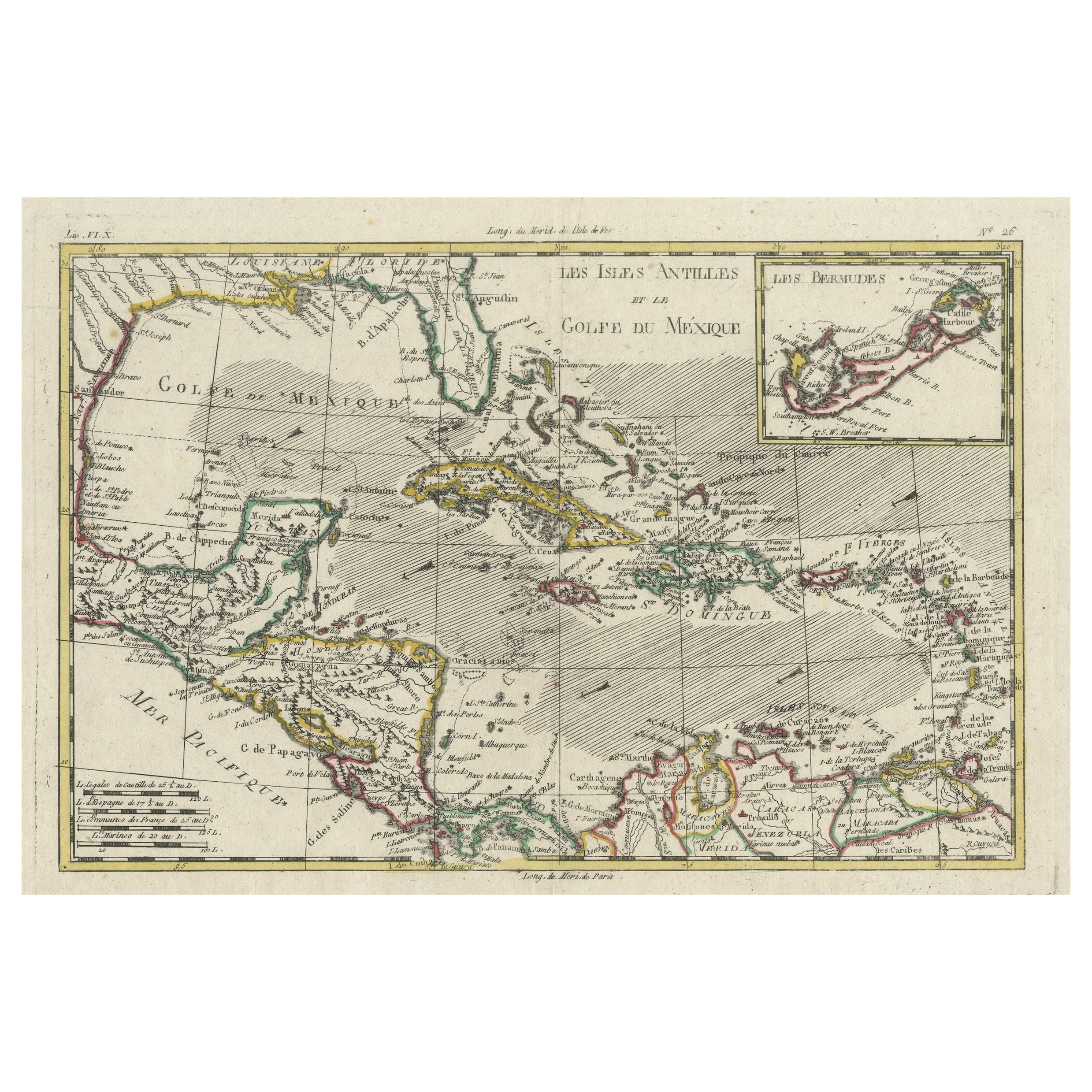
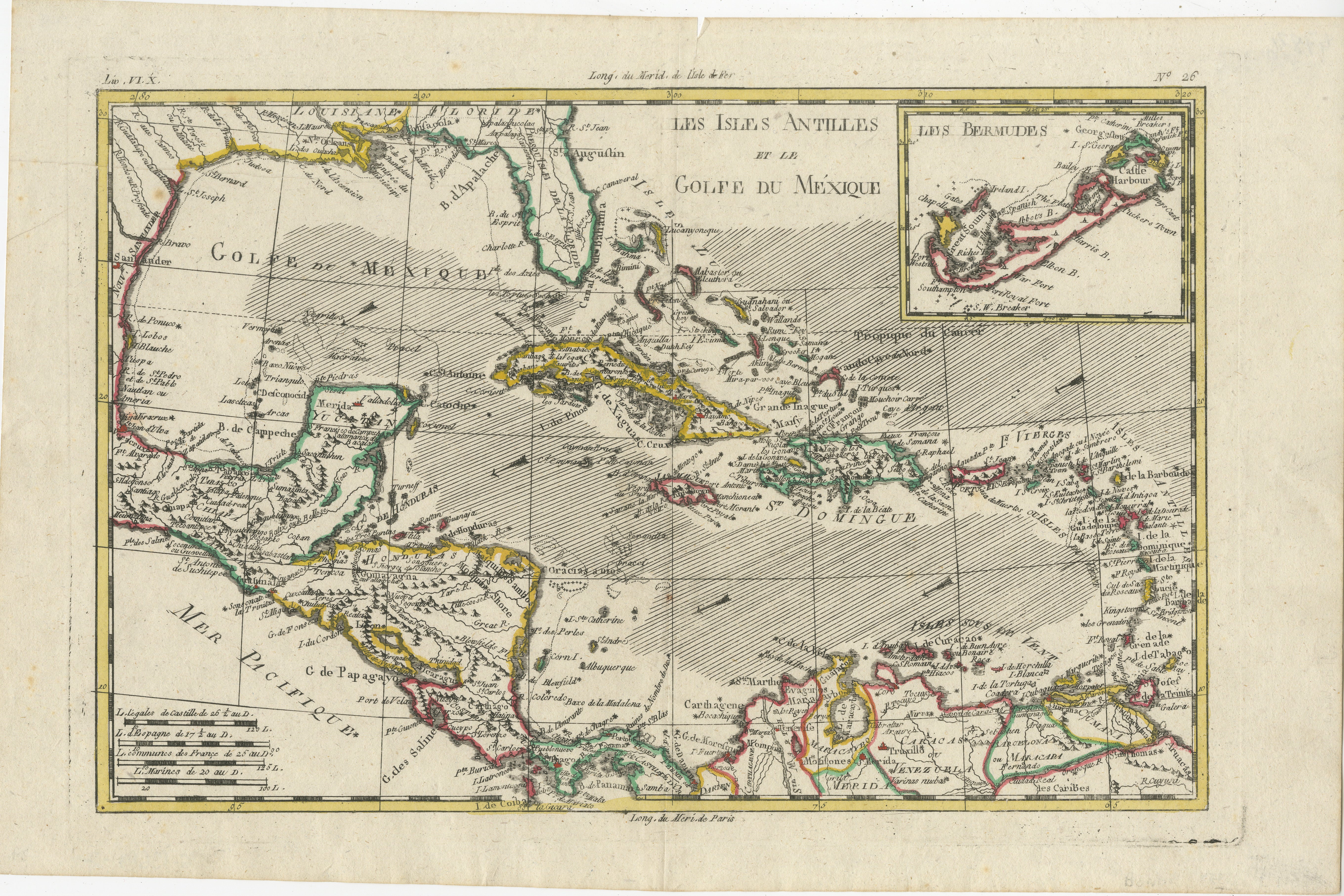
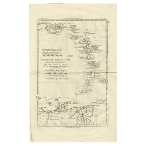
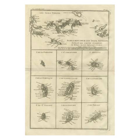
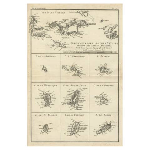
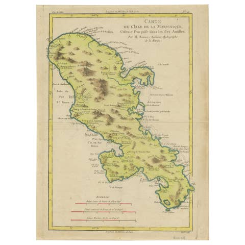
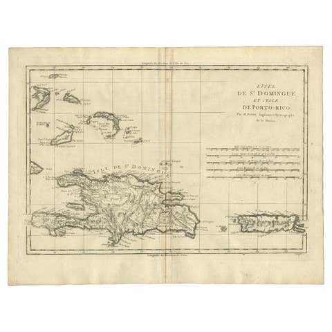
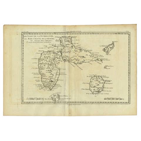
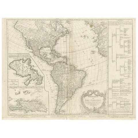
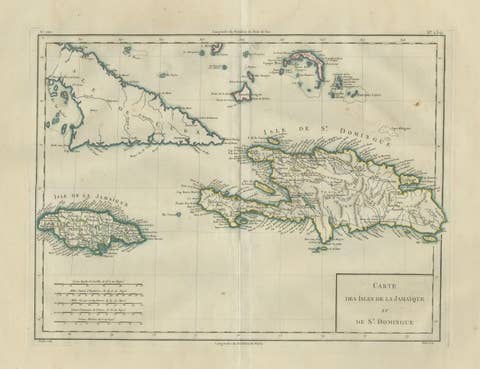
Rigobert Bonne and G. Raynal's 1780 map of the West Indies, Gulf of Mexico, Antilles, and the Caribbean stands as a remarkable cartographic piece, offering a detailed and expansive view of the region during the late 18th century.
**Title:** Map of the West Indies, Gulf of Mexico, Antilles, and Caribbean
**Cartographers:** Rigobert Bonne and G. Raynal
**Date:** 1780 (undated)
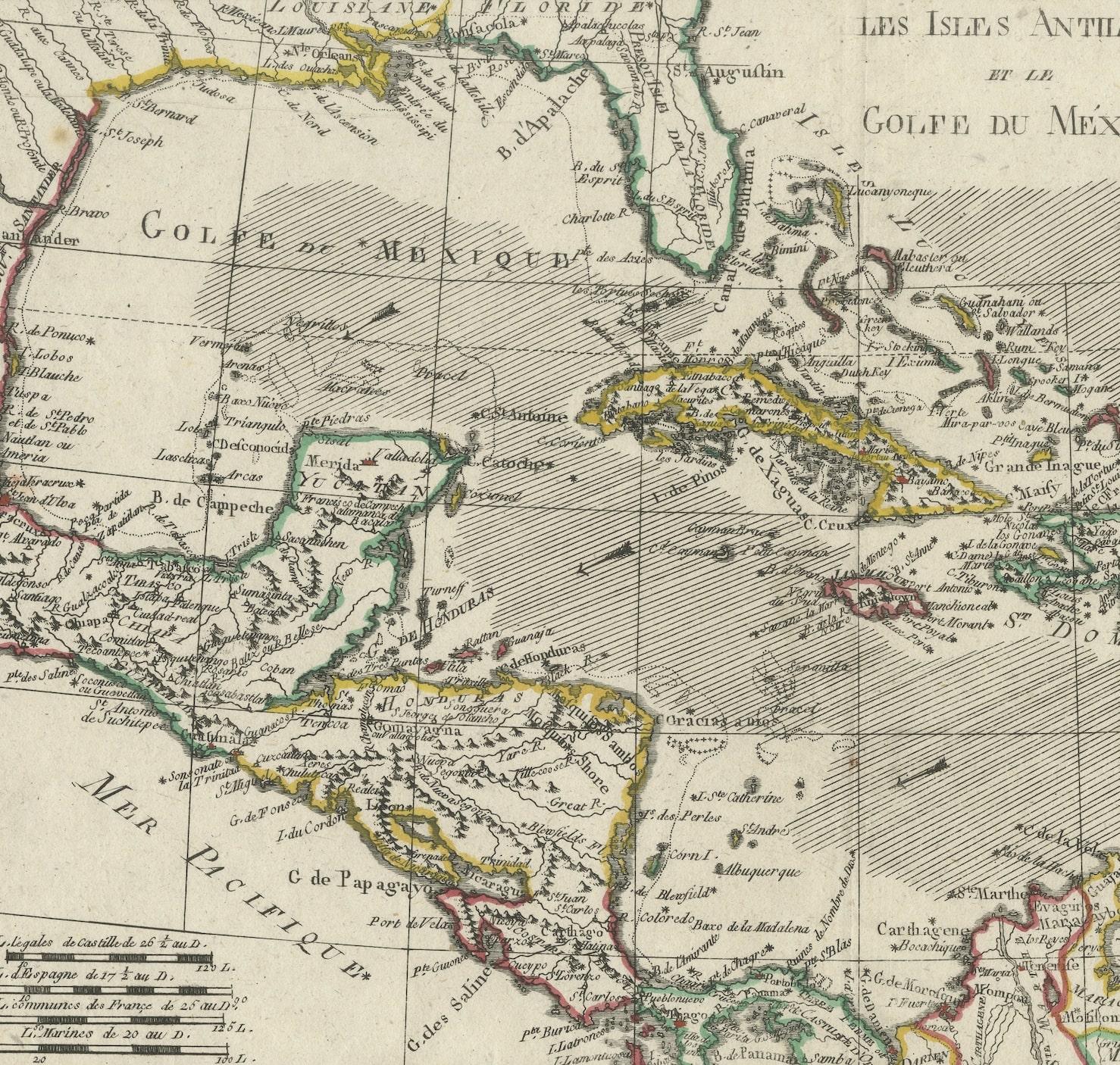
This map encompasses a vast area, stretching from Florida to the Spanish Main and from Mexico to Barbados. Notable features and characteristics include:
1. **Geographic Detail:** Bonne's map incorporates a wealth of geographical information, noting undersea dangers, winds, ocean currents, cities, rivers, mountains, and lakes. This level of detail reflects the accuracy and thoroughness of Bonne's cartographic work, providing a comprehensive view of the region's topography.
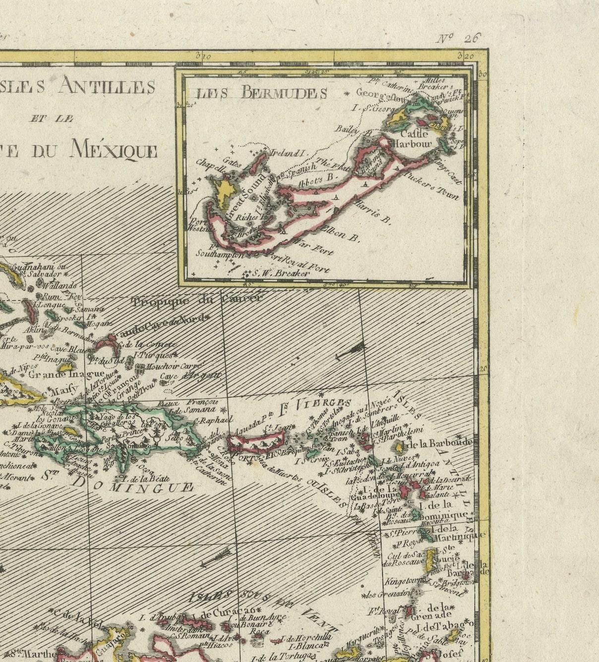
2. **Inset Map:** An inset in the upper right corner focuses on Bermuda, offering a detailed depiction of the island within the broader context of the Caribbean and the Gulf of Mexico.
3. **Historical Context:** Drawn for G. Raynal's "Atlas de Toutes les Parties Connues du Globe Terrestre," this map was part of an atlas created for Raynal's "Histoire Philosophique et Politique des Établissemens et du Commerce des Européens dans les Deux Indes." It was not only a representation of geographic knowledge but also aimed to provide insights into European establishments, commerce, and history in the Americas.
Bonne's cartographic expertise and attention to detail, along with Raynal's broader historical context, elevate this map's significance. It serves as both a geographical reference and a historical artifact, offering a glimpse into the understanding and exploration of the Caribbean and surrounding regions during the late 18th century.
Maps of this nature, embedded within historical publications, represent the culmination of geographic exploration, trade, and political influence, making them highly desirable not only for their cartographic accuracy but also for their cultural and historical value.
AUTHENTICITY: This is an authentic historic print, published at the date stated above. I do not offer reproductions. It is not a modern copy. The term 'original' when applied to a print means that it was printed at the first or original date of publication; it does not imply that the item is unique. 'Print' means any image created by applying an inked block to paper or card under pressure by any method including wood engraving, steel engraving, copperplate, wood cut and lithography.