About this sheet
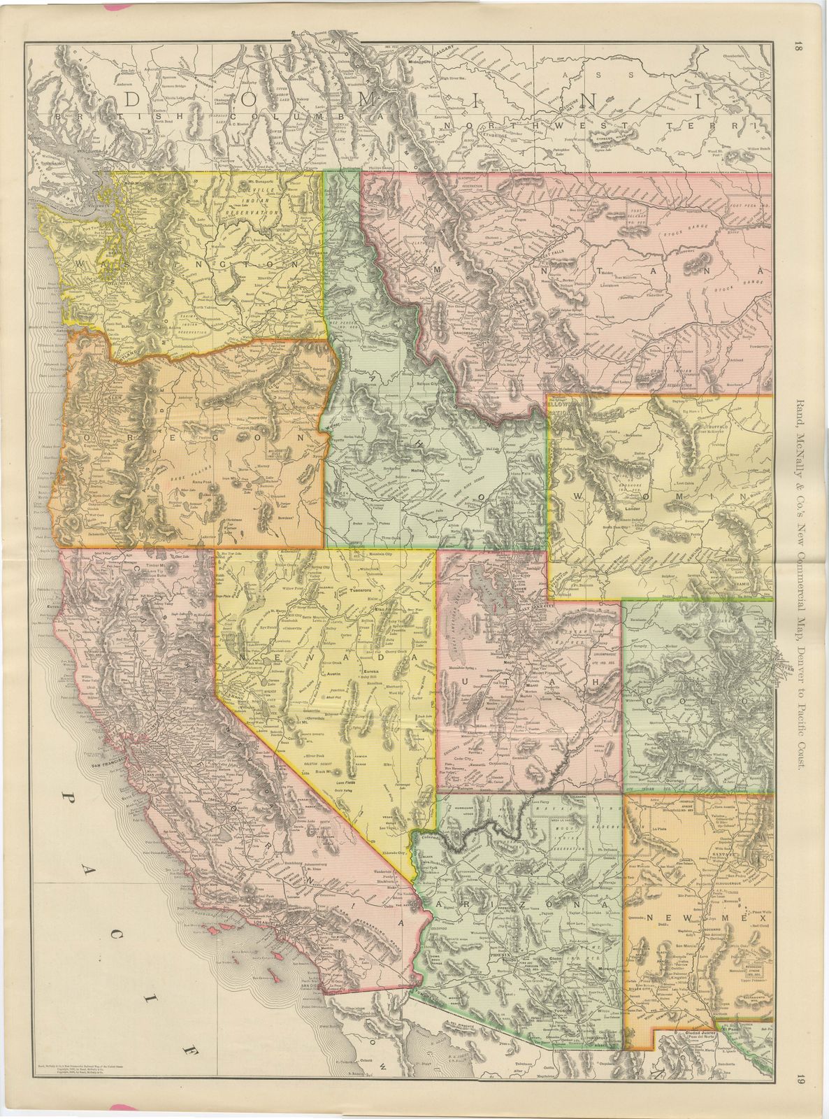
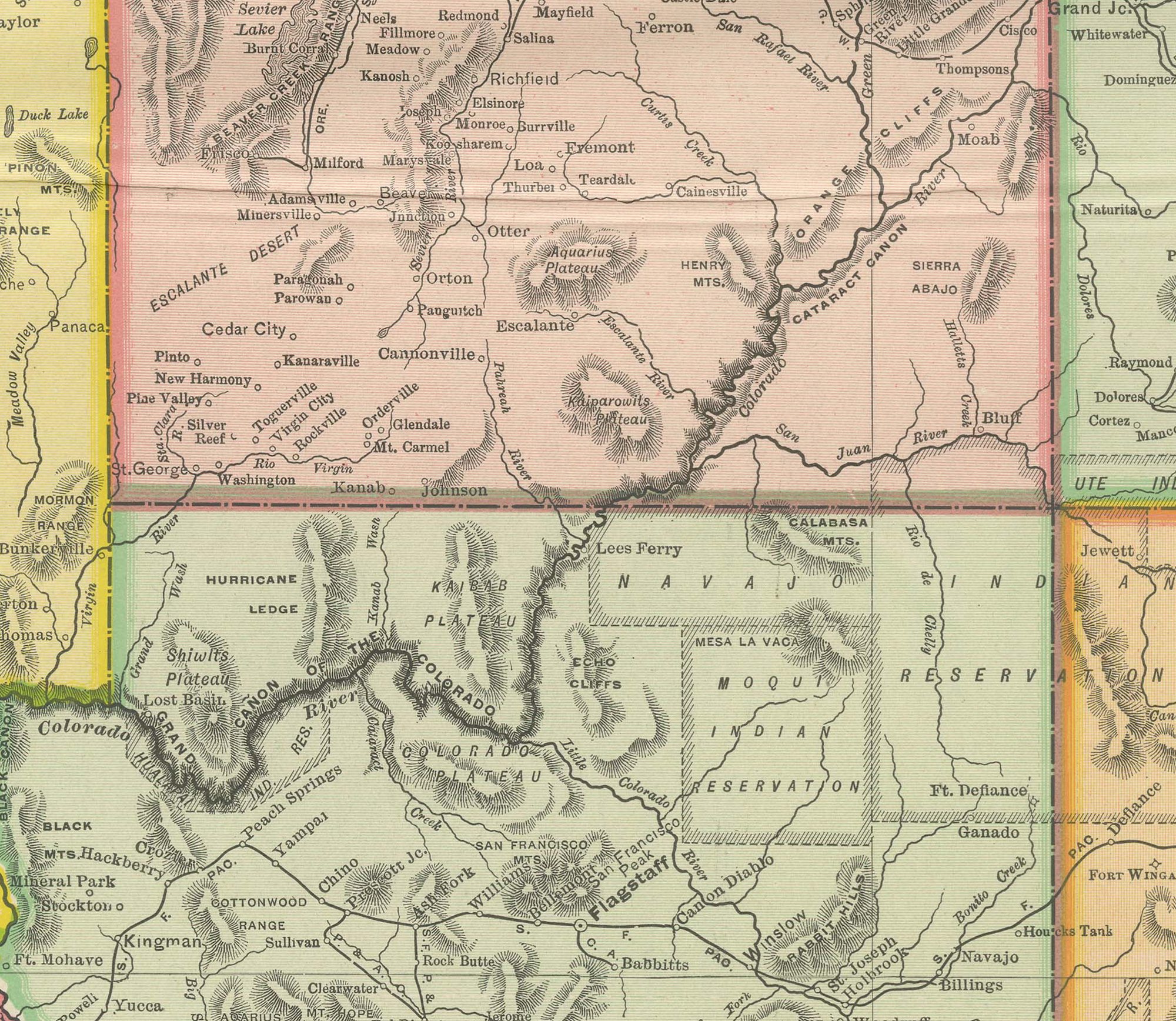
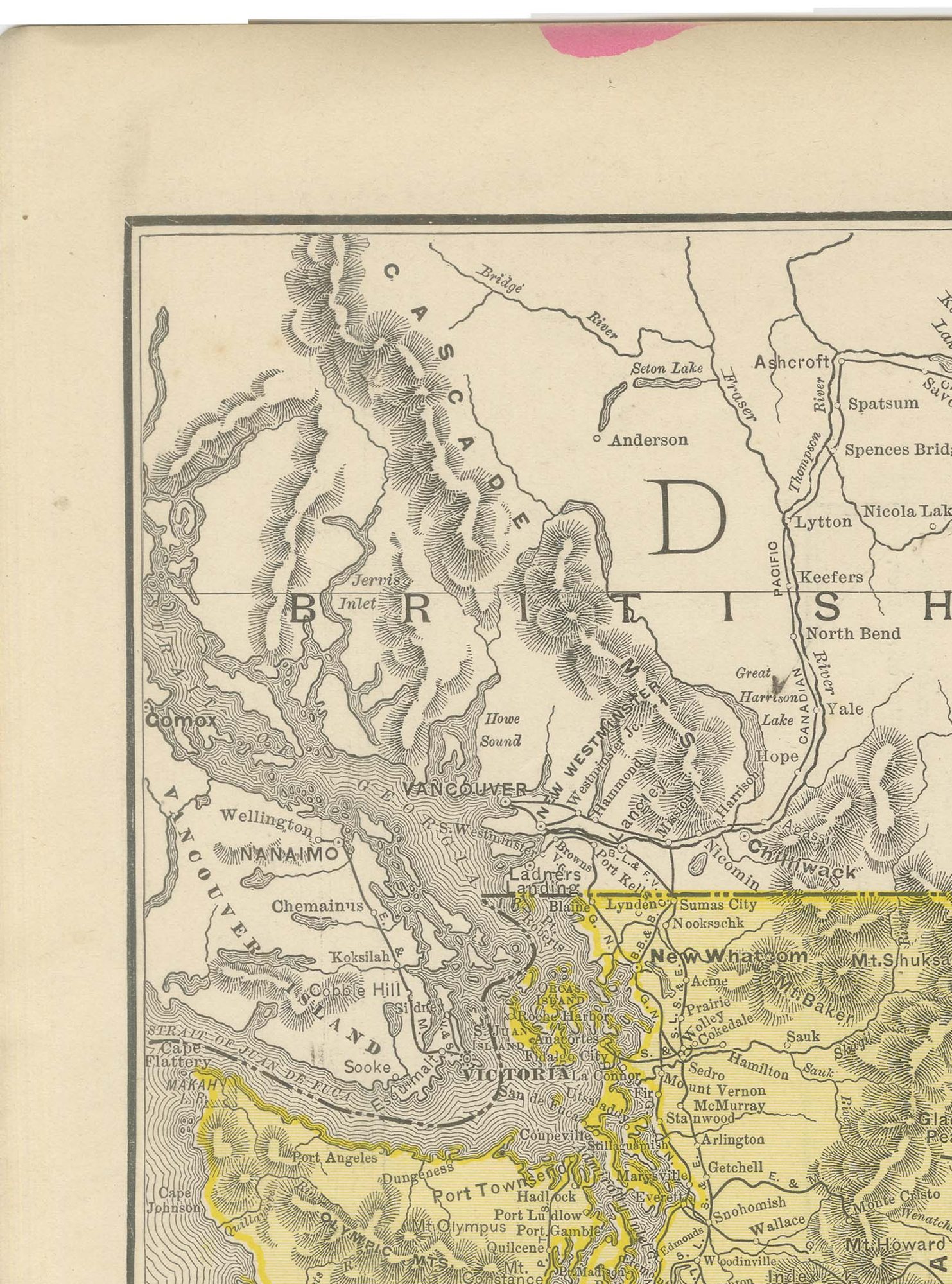
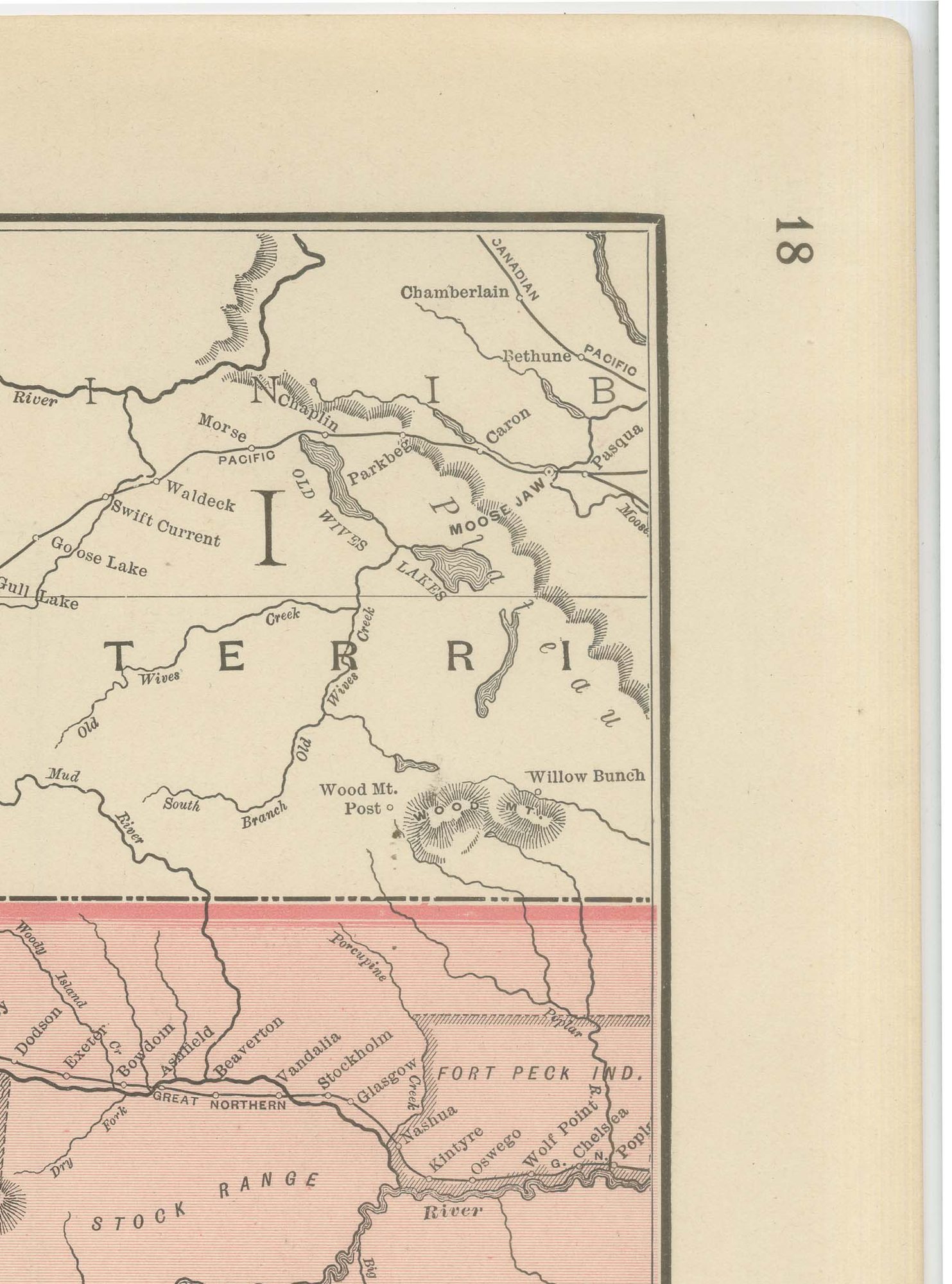
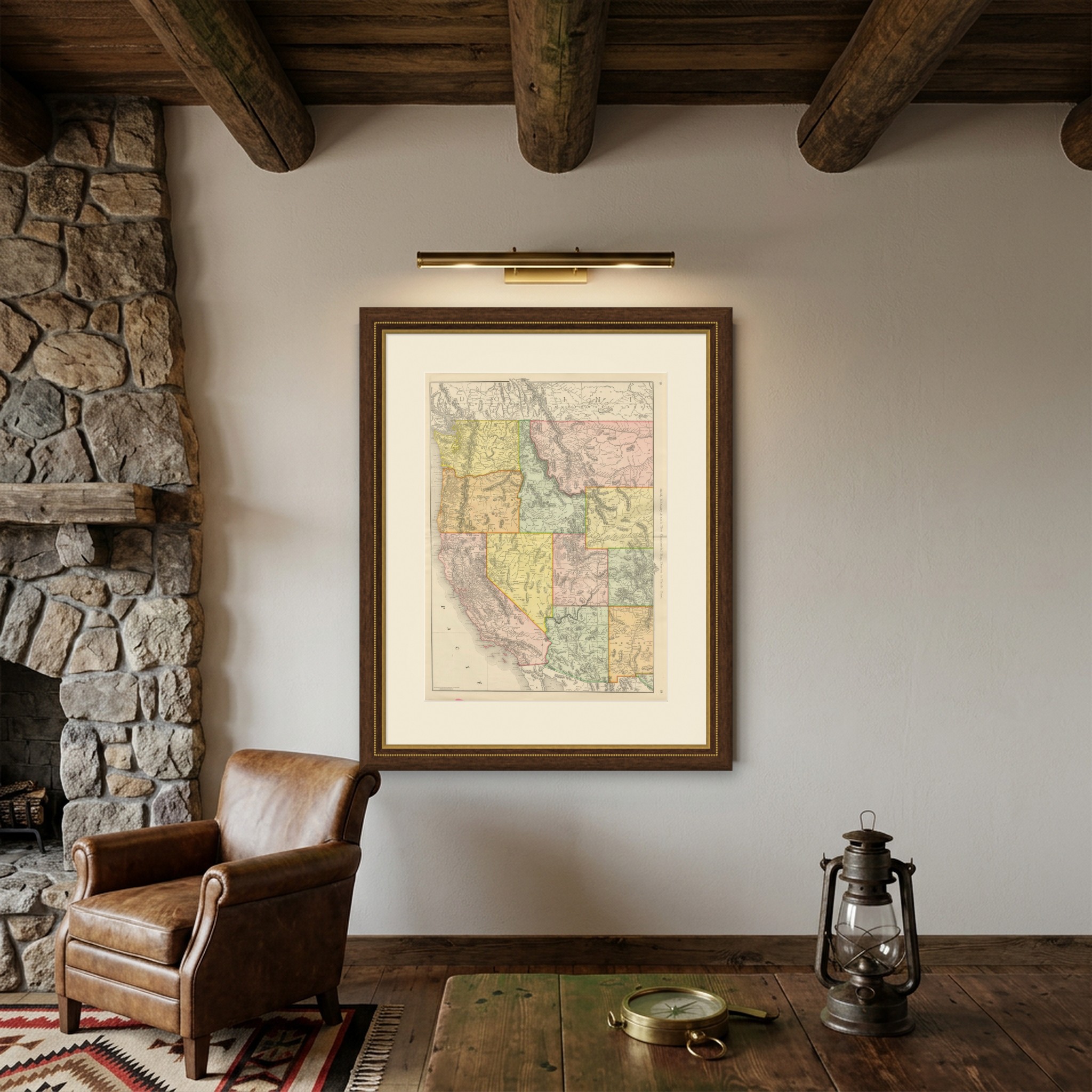
For collectors of the American West, this antique map of the western United States by Rand McNally, 1899, is the firm's "New Commercial Map, Denver to Pacific Coast", a double-page sheet on pages 18 and 19 of the indexed atlas.
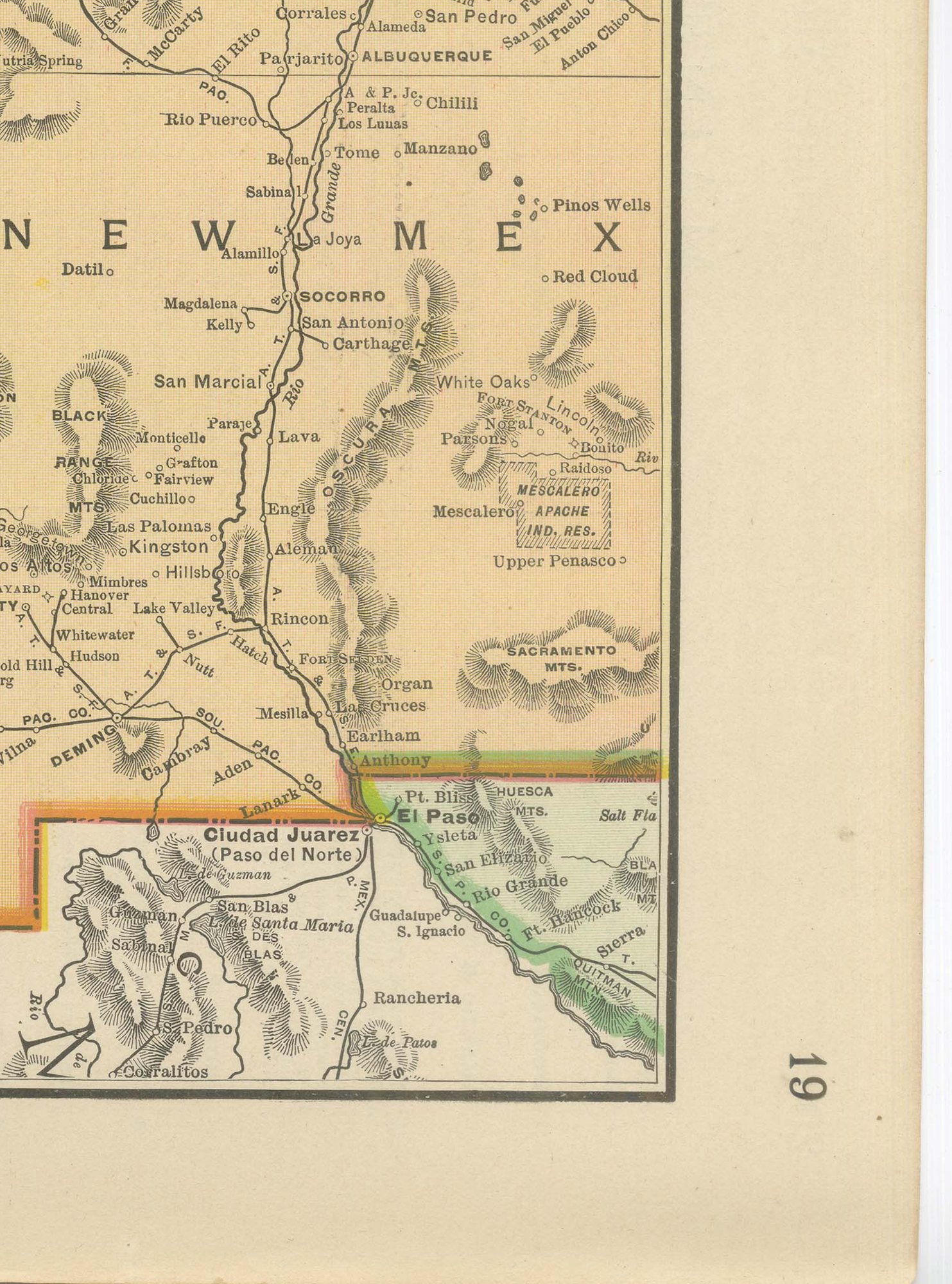
It covers the entire western third of the country: Washington and Oregon in the northwest, down through California, and east across Nevada, Utah, Idaho, Montana, Wyoming, Colorado, Arizona and New Mexico, each state or territory in its own pastel tint so the whole mountain and Pacific region reads at a glance. British Columbia and the Canadian Northwest Territory fill the top of the sheet, and Ciudad Juarez and the Rio Grande frontier appear at the bottom right. Arizona and New Mexico are still shown as territories rather than states.
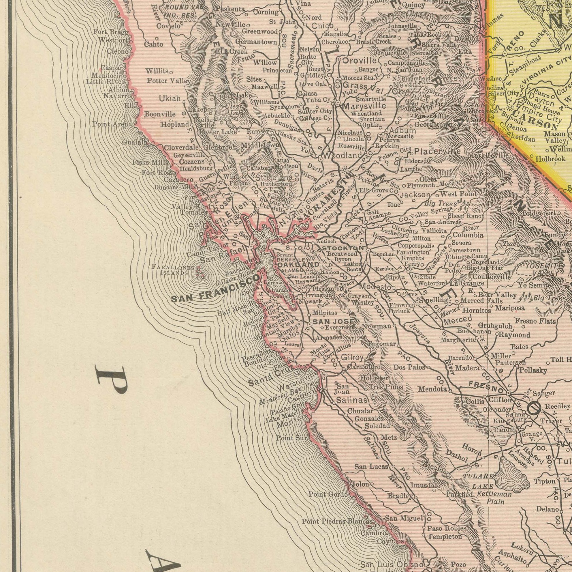
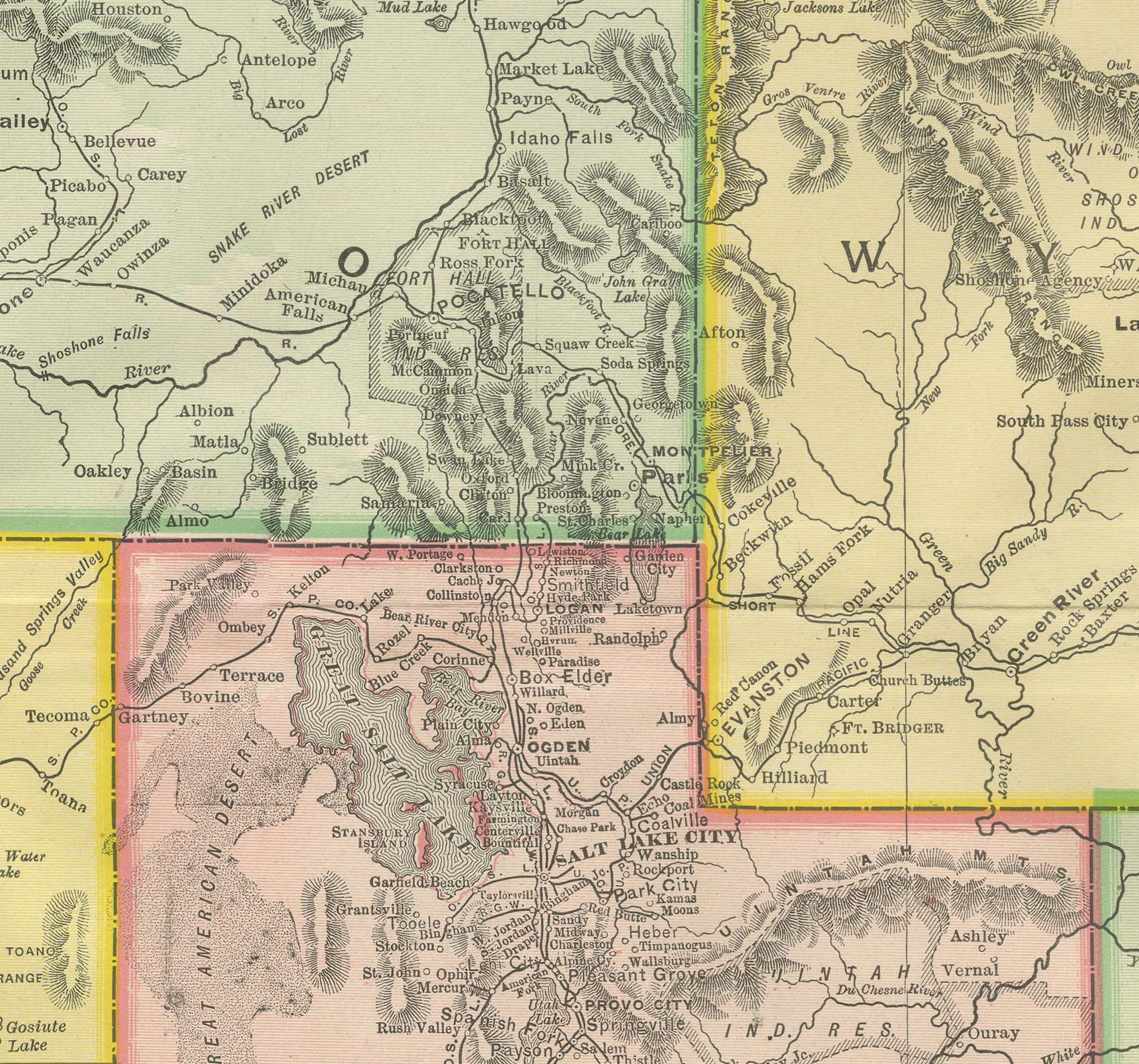
Indian reservations are named and outlined in some number: the Colville and Yakima reservations in Washington, Pyramid Lake and Walker River in Nevada, and the Navajo, Hopi and San Carlos reservations spanning Arizona and New Mexico, a reminder of how much of this country remained under federal administration in 1899. Relief is built up throughout in fine hachured shading, with the Sierra Nevada, the Rockies and the ranges of the Great Basin all modelled in hill work printed in black. As a commercial rather than a county map, the plate emphasises the railway lines crossing this thinly settled country and the mining and reservation place names that dominated the region's geography at the close of the century.
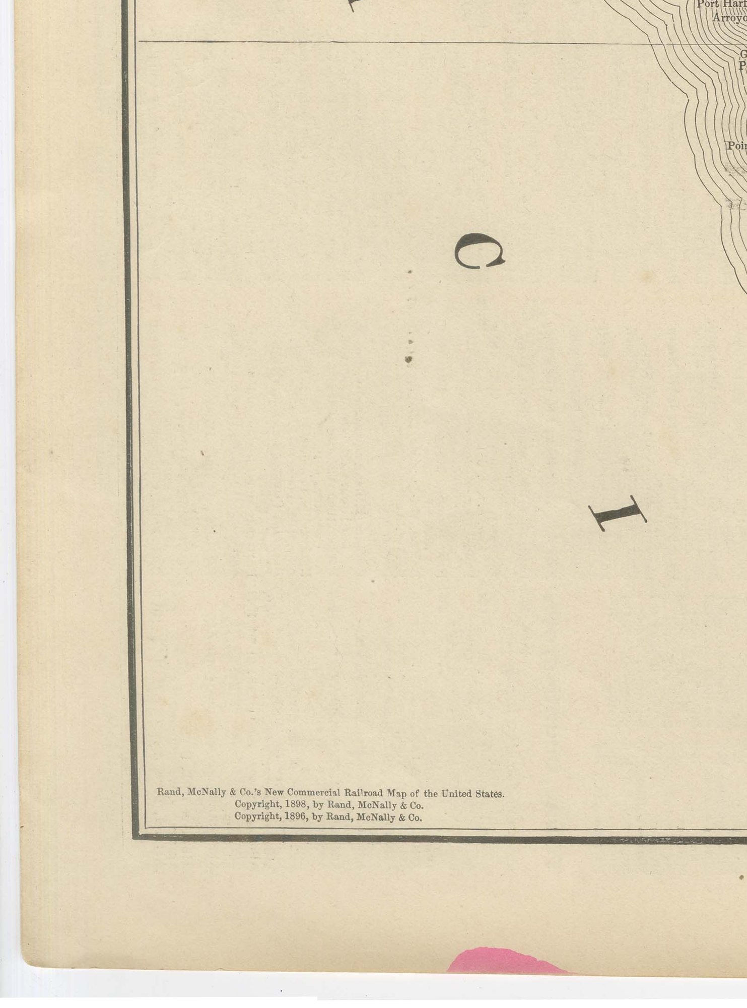
Rand, McNally and Company grew out of a Chicago printing business started in the 1850s by William Rand, who was soon joined by Andrew McNally. By the 1890s the firm was one of the leading map publishers in the United States, and this sheet belongs squarely to the railroad and commercial maps it was known for, revised from issue to issue.
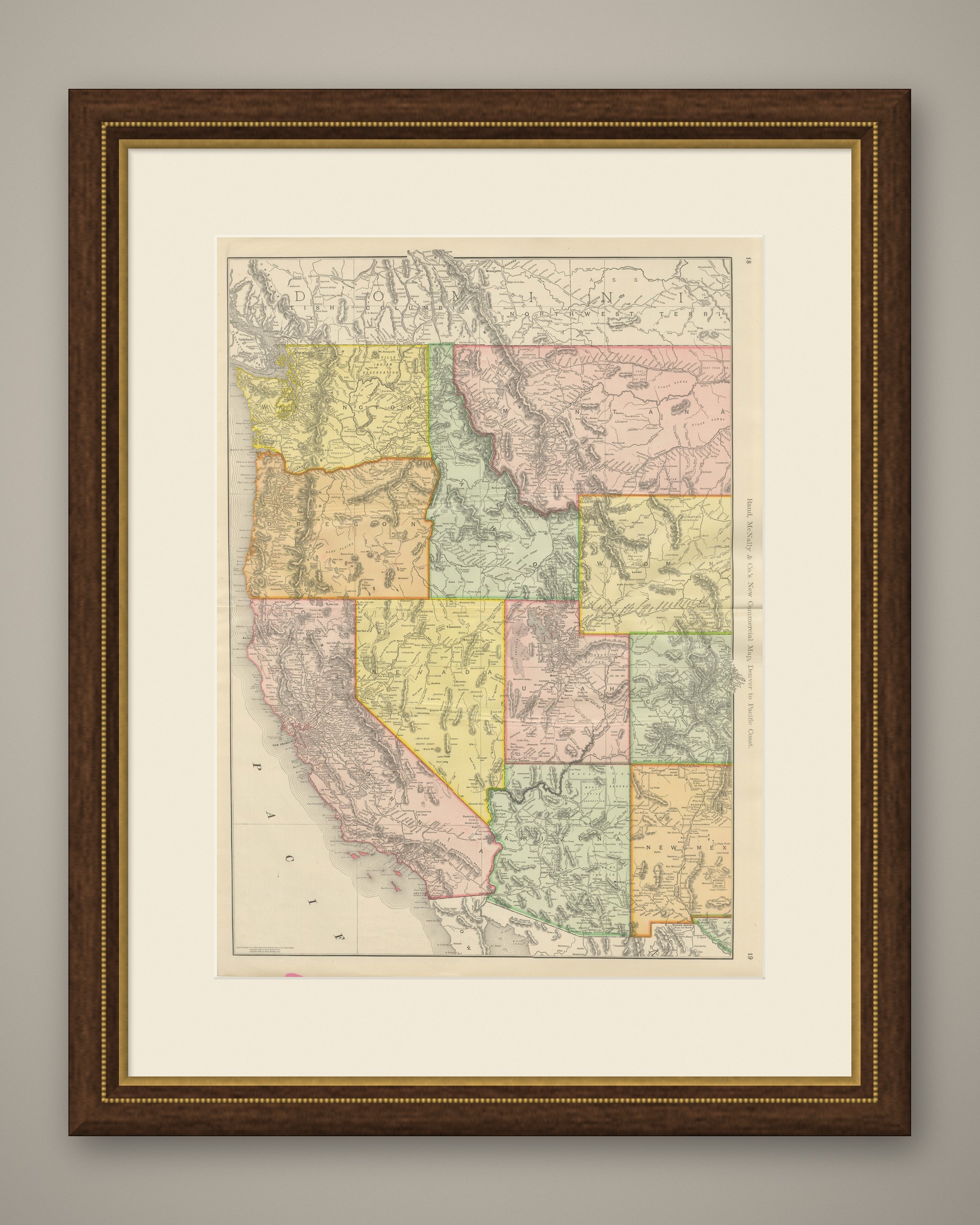
The sheet is a colour lithograph, the outline printed in black and every colour printed over it rather than applied by hand. Once framed, this antique map of the western United States makes a strong wall piece for a study, library or office, and it will appeal to collectors of American railroad and commercial cartography.
The sheet is in good condition for its age, with light age toning, small pink colour marks at the upper and lower edges and the original central fold as issued. Please review the images for further condition details.
This is an original antique map, not a modern reproduction. This item is sold unframed. Any framed or interior images are shown for presentation and inspiration only, unless the listing explicitly states that the item is sold framed.