About this sheet
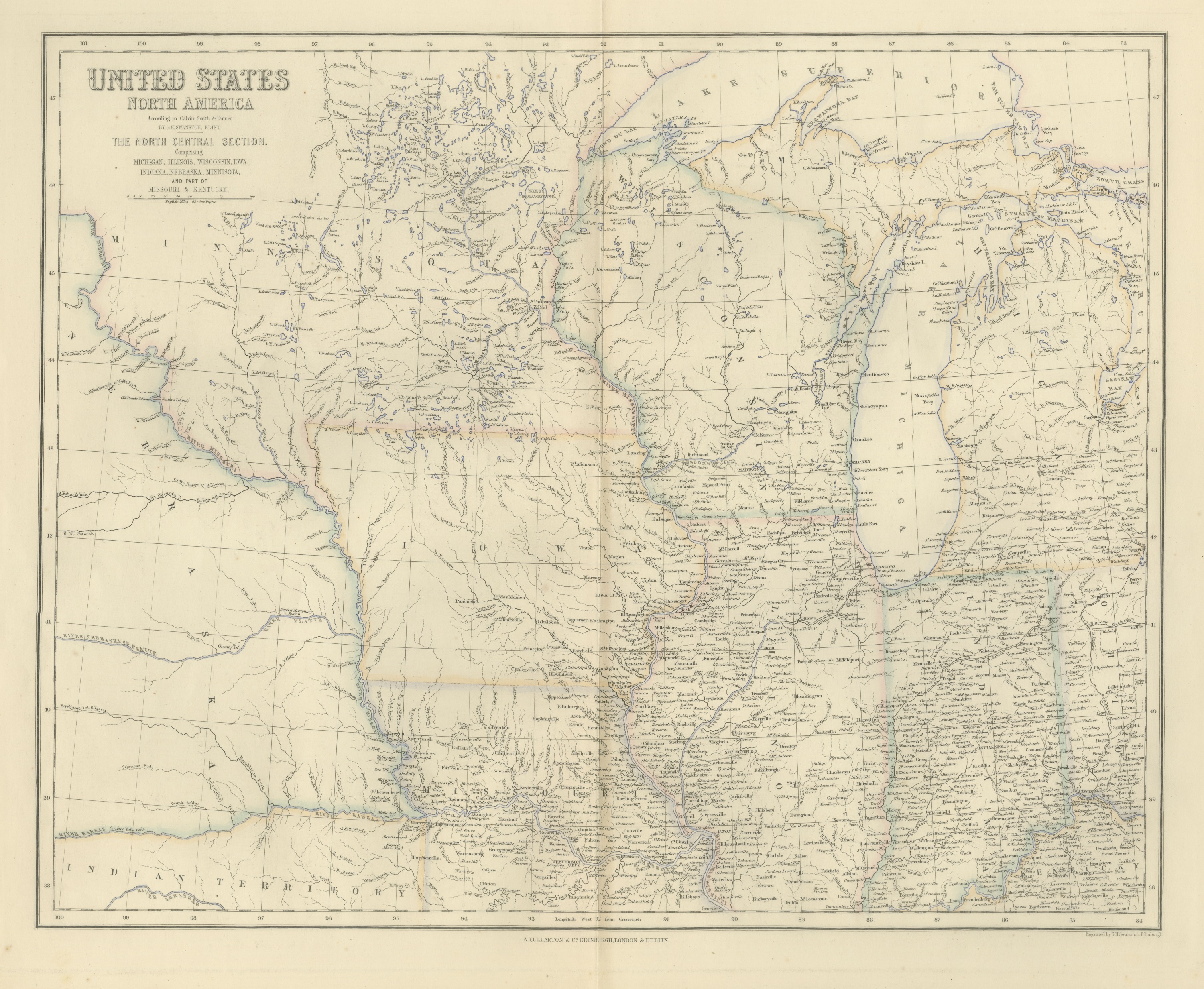
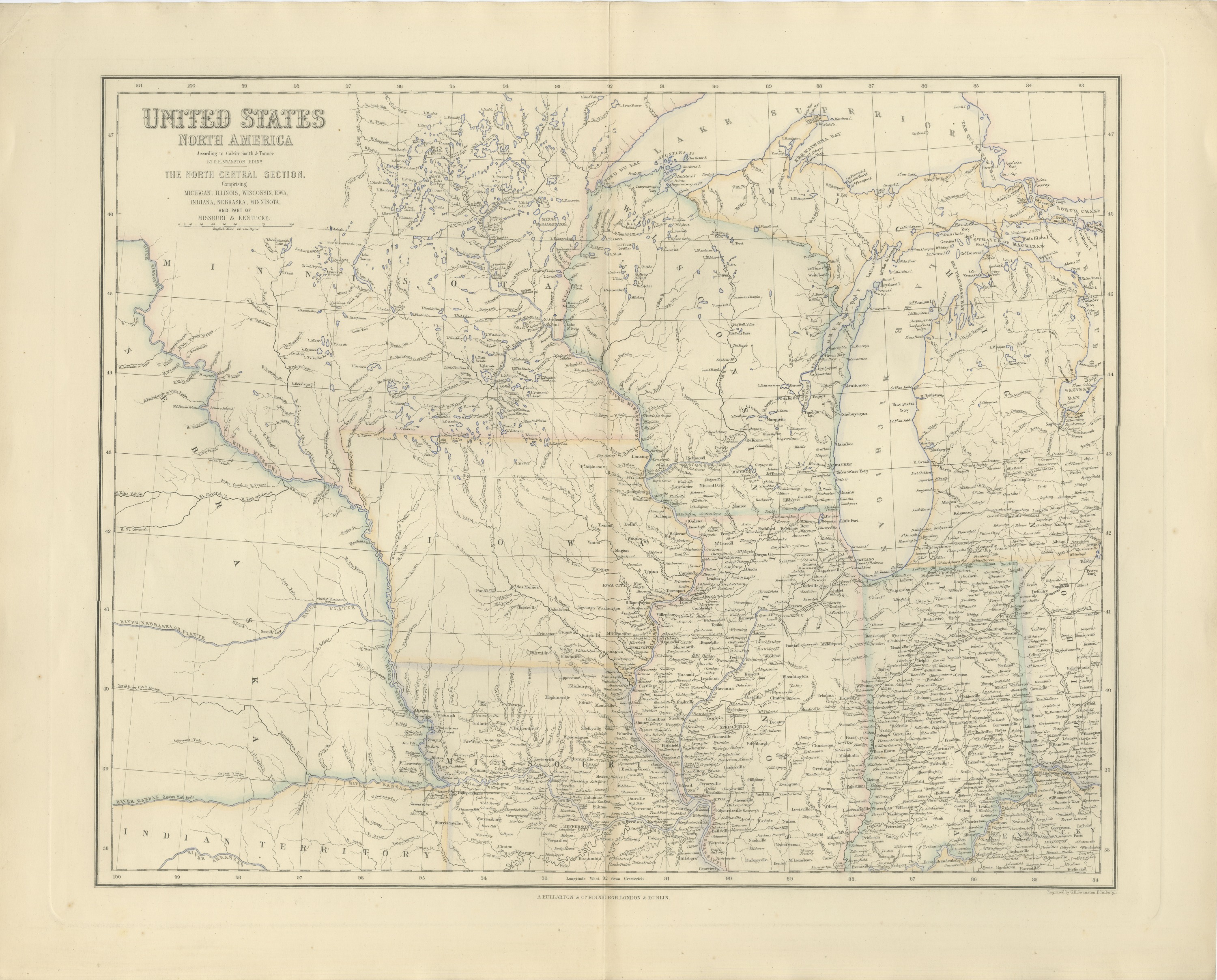
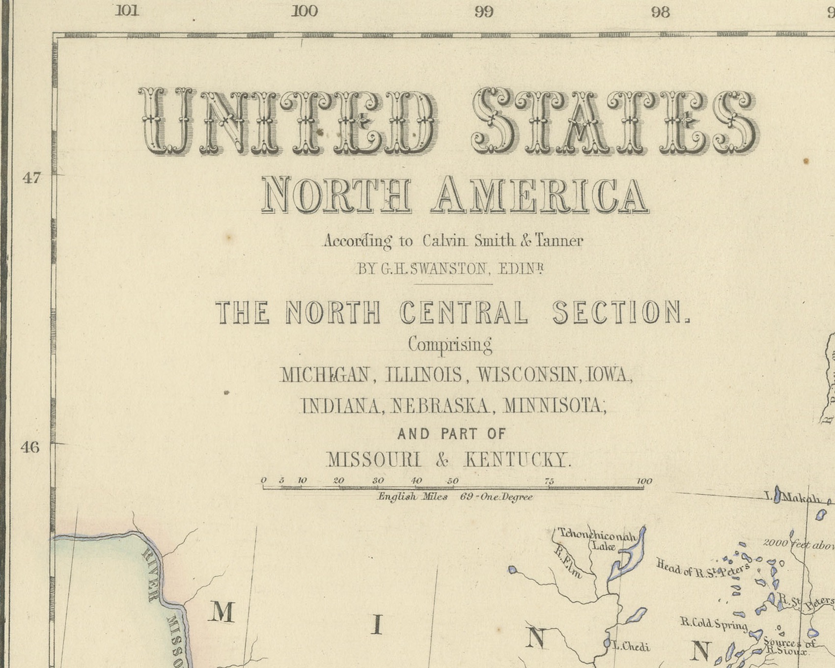
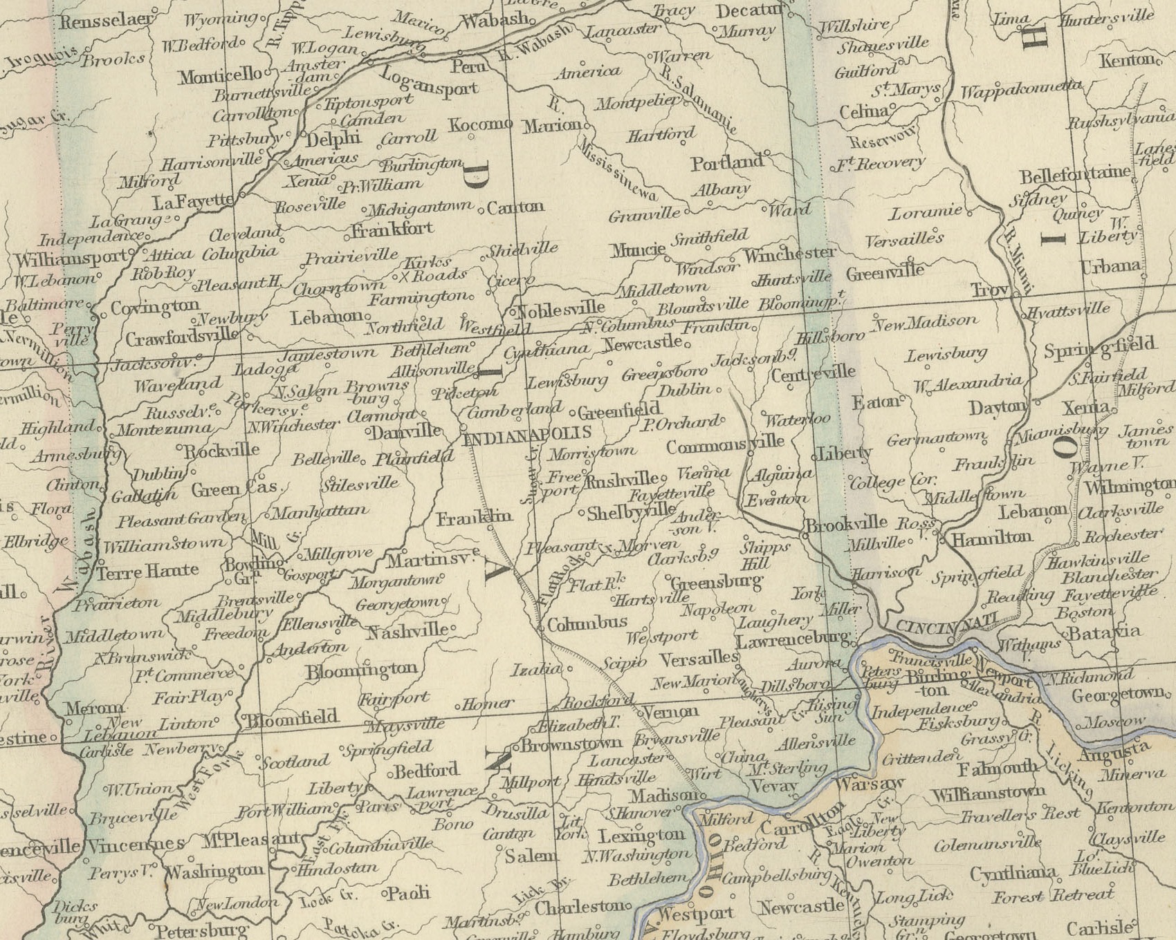
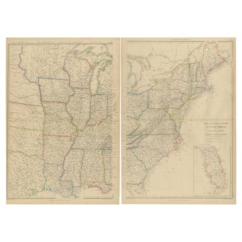
This is an original antique engraved map, colored by hand, from Fullarton's Companion Atlas to the Gazetteer of the World. Its engraved title reads "UNITED STATES NORTH AMERICA", with the section heading "THE NORTH CENTRAL SECTION. Comprising MICHIGAN, ILLINOIS, WISCONSIN, IOWA, INDIANA, NEBRASKA, MINNISOTA; AND PART OF MISSOURI & KENTUCKY." The sheet runs from 100 degrees west longitude at the Nebraska country east to about 83 degrees, taking in western Ohio as far as Toledo and Cincinnati, and from the Lake Superior shore south to Kentucky. State boundaries are outlined in color, and the eastern states are filled with towns, rivers and roads.
Lake Superior, Lake Michigan and Lake Huron are drawn with their bays and islands, including "STRAITS OF MACKINAW", "GRT. TRAVERSE BAY", "SAGINAW BAY" and "Milwaukee Bay". Lake Erie appears only at its western tip by Toledo and Monroe. Chicago, "MILWAUKEE", "SPRINGFIELD", "St. LOUIS" and "CINCINNATI" are among the places named. In the west the map is far emptier: "RIVER NEBRASKA OR PLATTE" and "RIVER MISSOURI" cross open country, and "INDIAN TERRITORY" is lettered south of the "RIVER KANSAS" along the lower left edge. A scale bar under the title reads "English Miles 69 = One Degree".
The title credits the American sources, "According to Calvin Smith & Tanner", and the compiler, "BY G.H. SWANSTON, EDINR." Below the bottom border at the lower right is the engraver's line "Engraved by G.H. Swanston, Edinburgh.", and the imprint in the center reads "A. FULLARTON & Co. EDINBURGH, LONDON & DUBLIN."
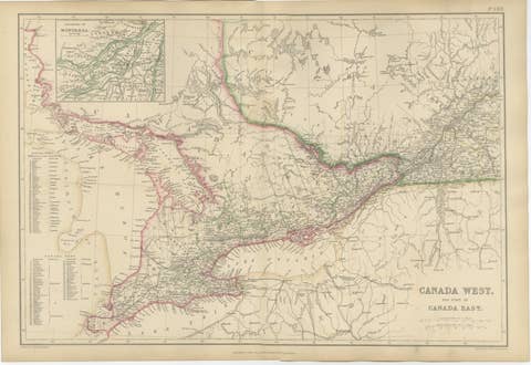
The Companion Atlas to the Gazetteer of the World was published by A. Fullarton and Co. of London, Edinburgh and Dublin and issued to subscribers in parts. The original printed wrapper of Part 7 survives with these maps; it bills forty-three maps, names G. H. Swanston as engraver and is marked "Colored Copy". The land lettered here as Indian Territory, south of the Kansas River, was organized as Kansas Territory in 1854.
Condition: Even age toning. Handling soiling along the left, right and top edges. Scattered light foxing in the margin. Complete sheet, all four corners present. Original center fold as issued.
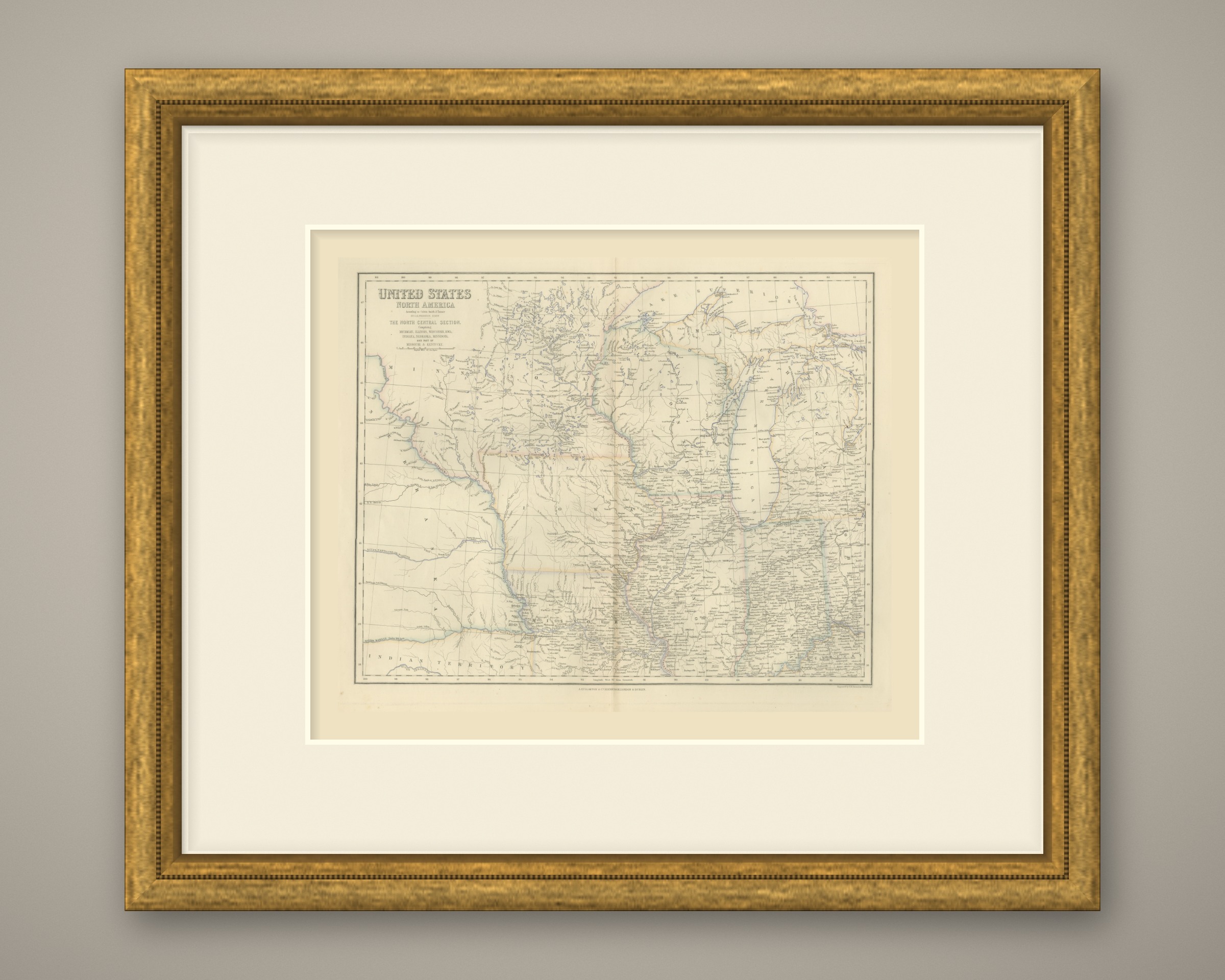
This is an original antique map, not a modern reproduction. This item is sold unframed. Any framed or interior images are shown for presentation and inspiration only, unless the listing explicitly states that the item is sold framed.