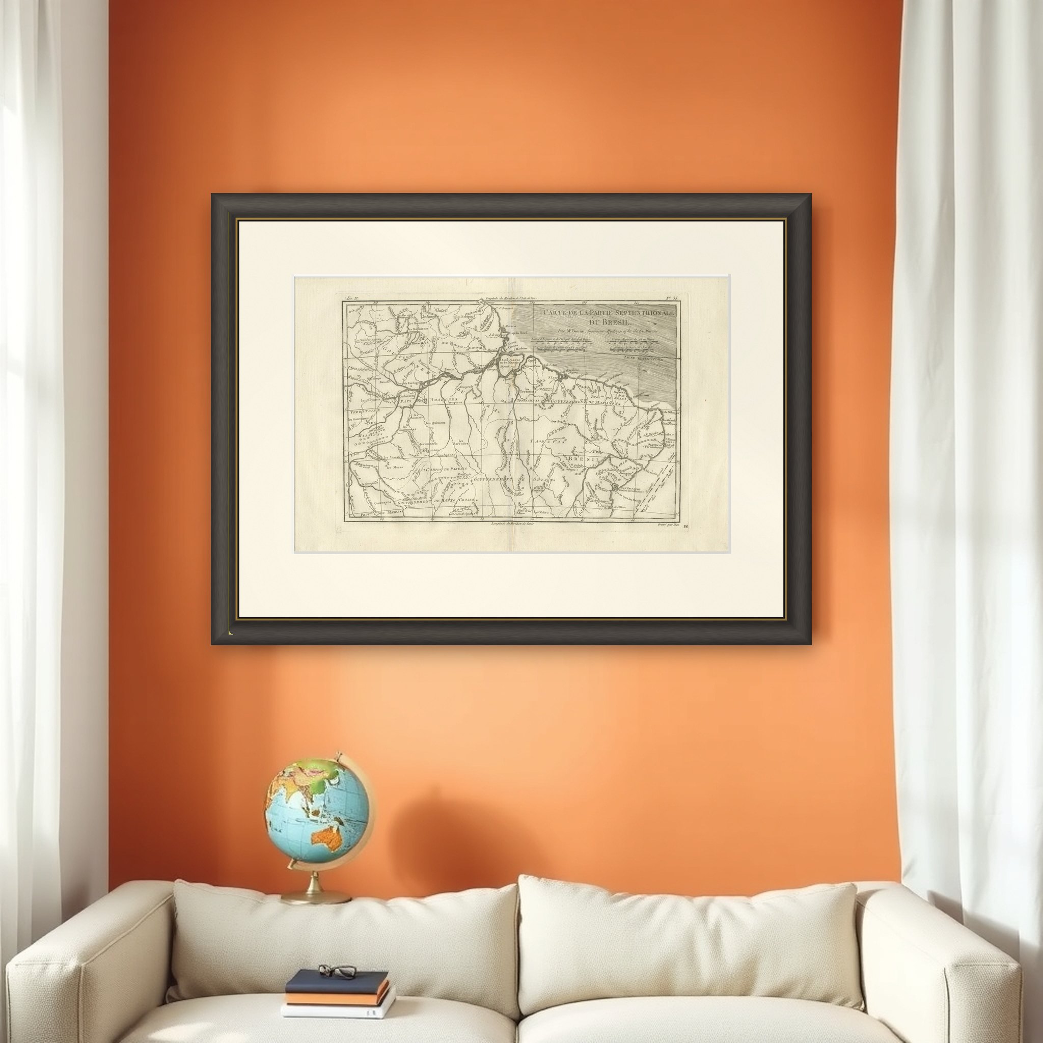
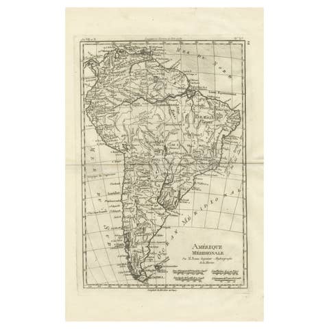
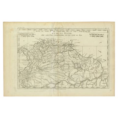
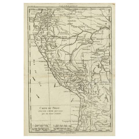
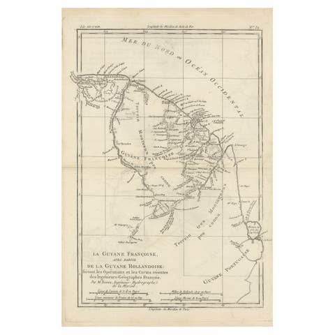
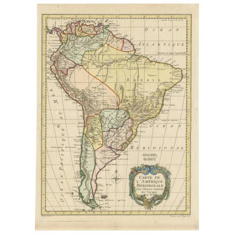
Northern Brazil & Amazon Basin – Enlightenment Map by Rigobert Bonne, c.1780
€ 380
Original antique · The actual sheet photographed · Certificate of authenticity on request · Sold unframed · Worldwide shipping from € 15 (rates)
Date
1780
Sheet size
26 × 41 cm (10.2 × 16.1 in)
Condition
Good
Reference
BG-14105-36
What the condition grades mean
Excellent
Bright and clean, with no faults worth mentioning.
Very good
Only light signs of age, such as faint toning.
Good
Normal signs of age for a sheet of this period: toning, some foxing, small marks or neat old repairs.
Fair
Clear faults such as staining, tears or repairs, priced to match.
Every fault we see is written in the condition note, and the whole sheet is shown uncropped in the photos.
Condition
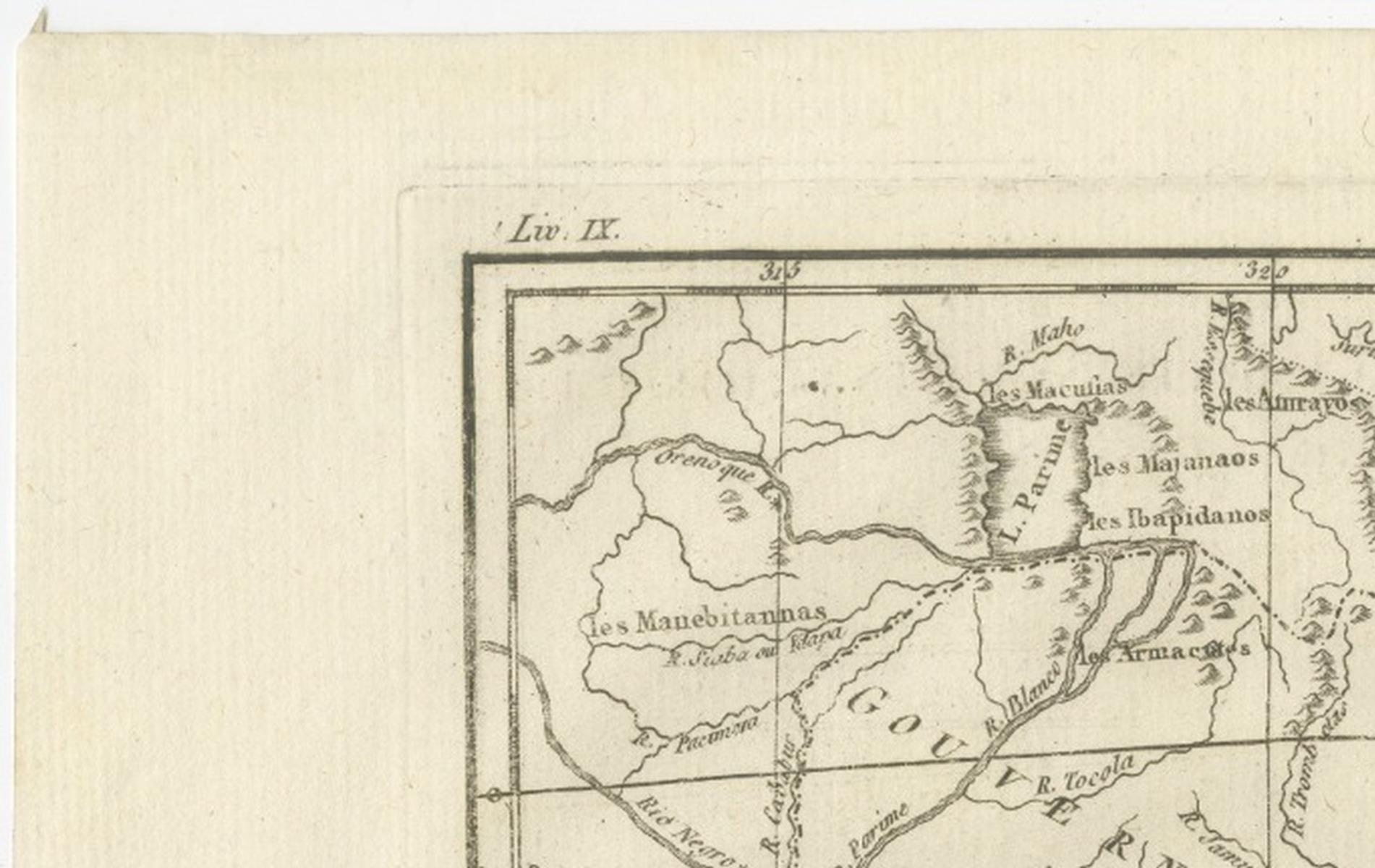
Good antique condition. Light age toning and minor handling wear consistent with 18th-century copperplate engraving. Original centerfold as issued. Clean impression with strong legibility; margins ample for framing.
About this sheet
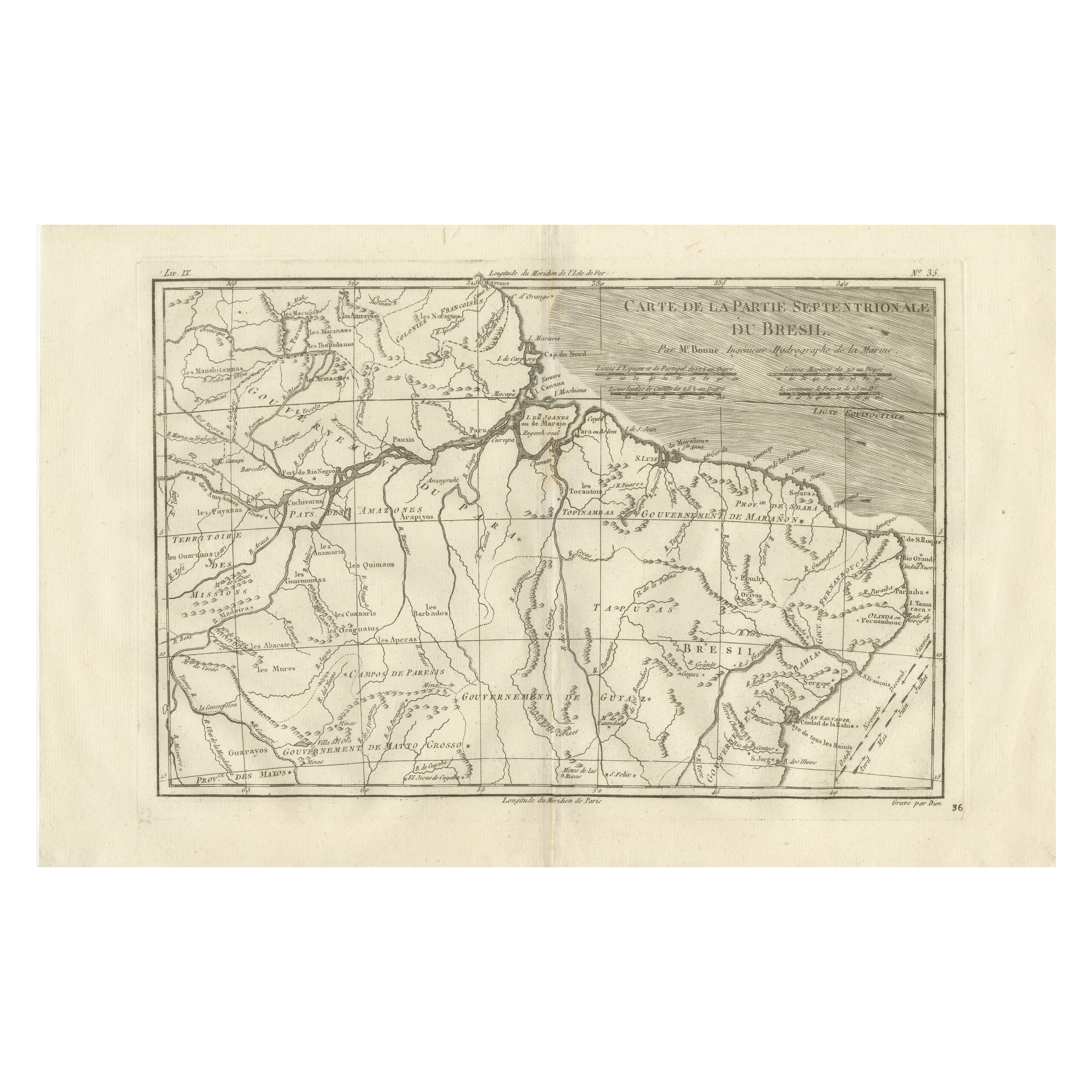
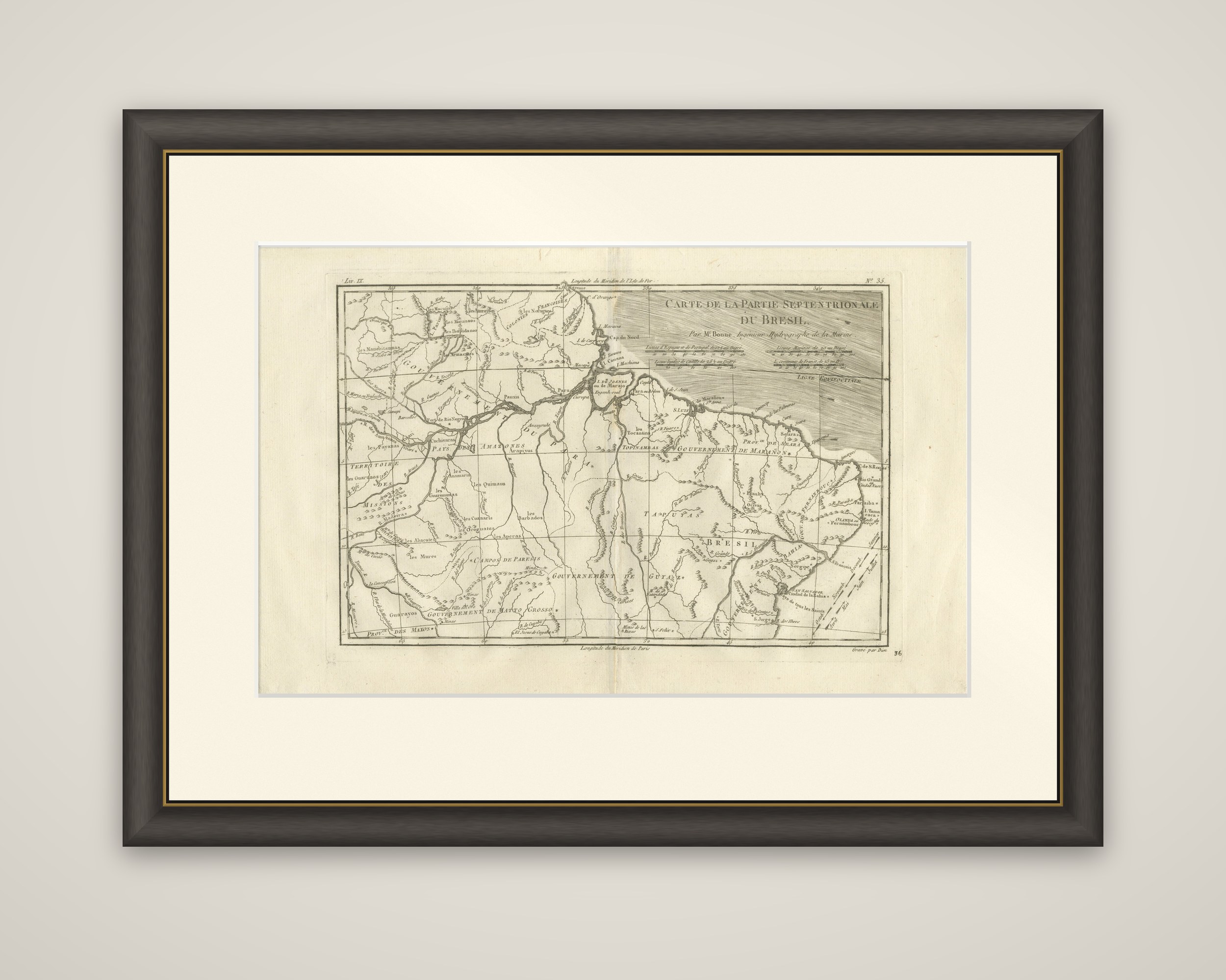
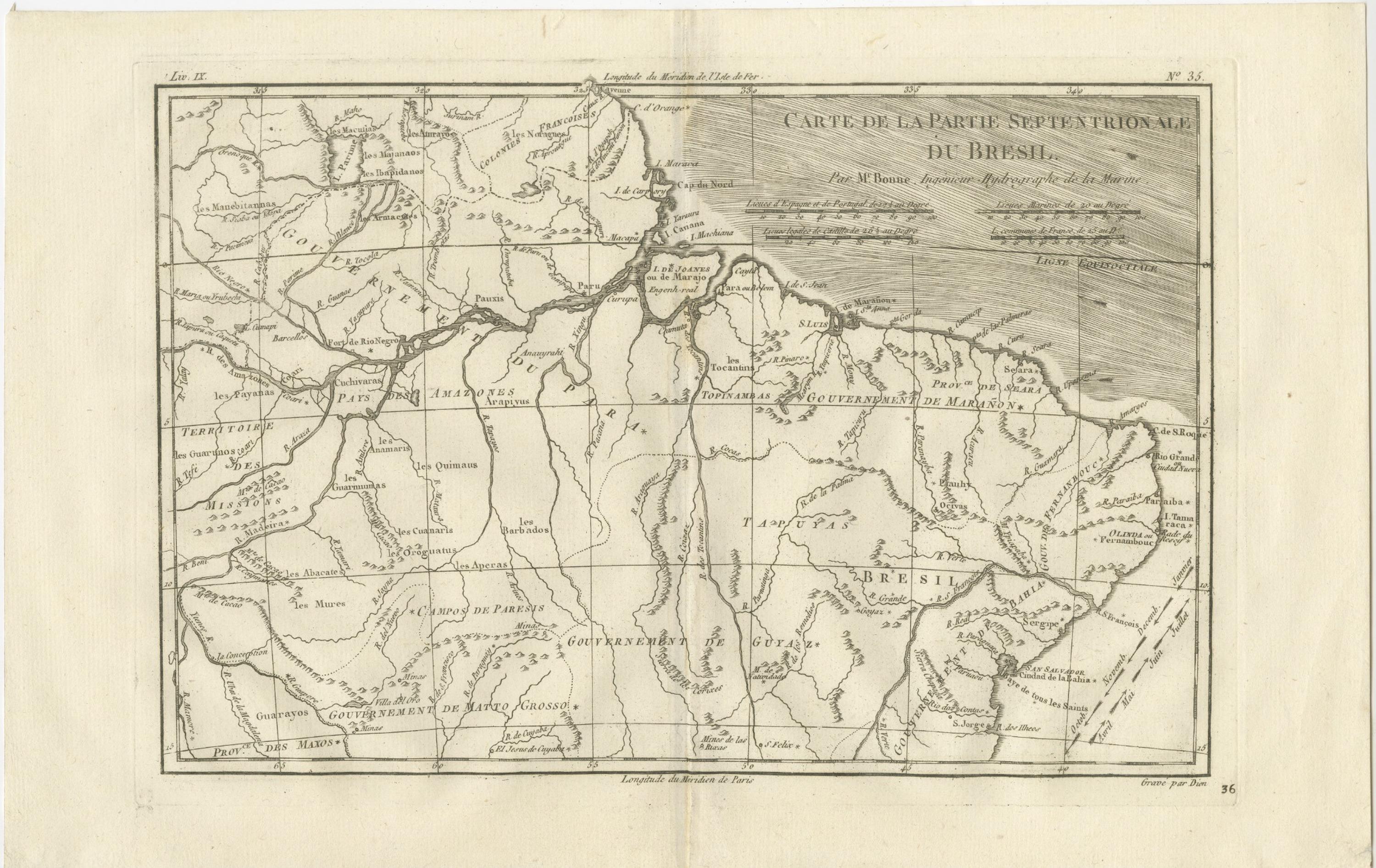
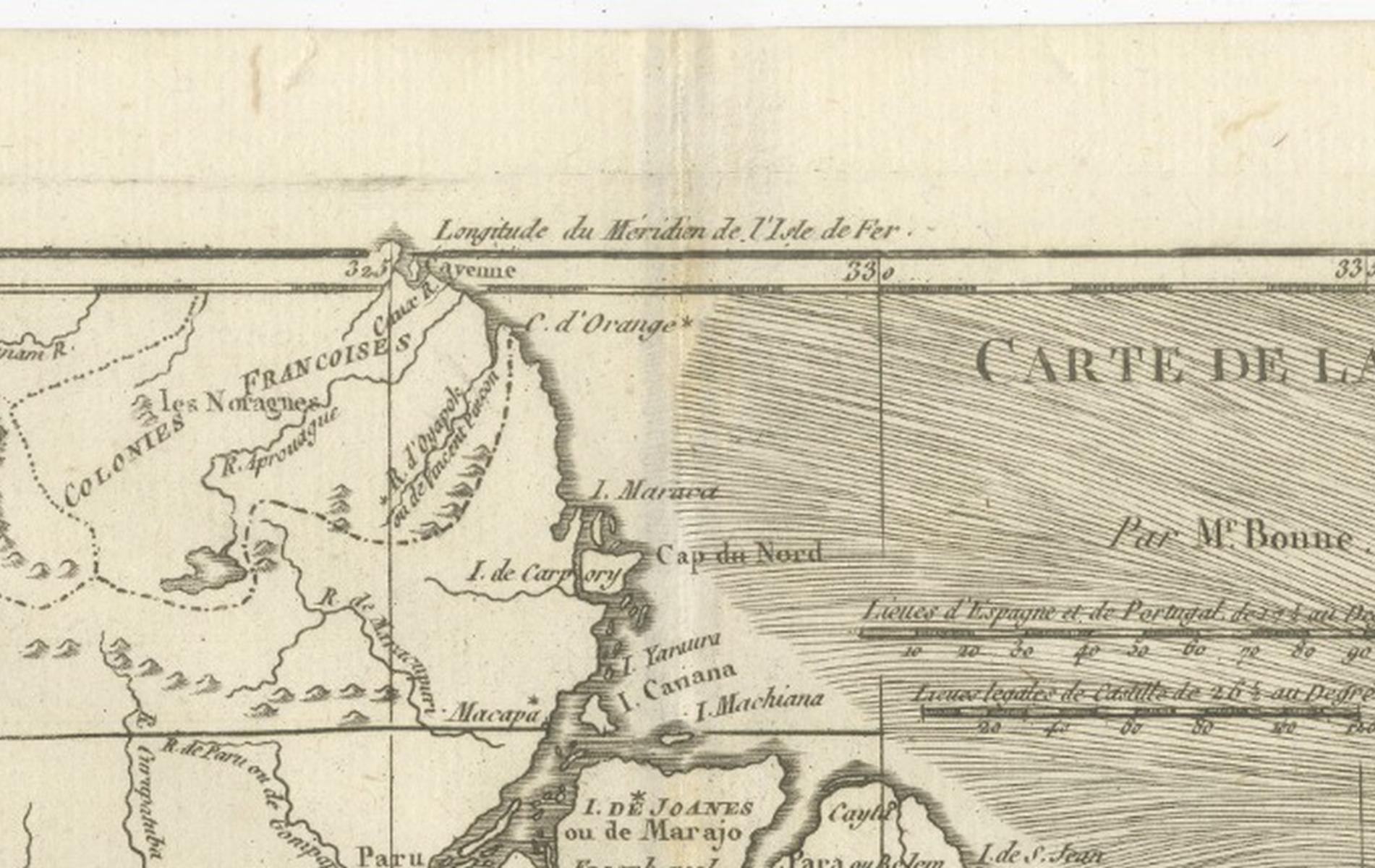
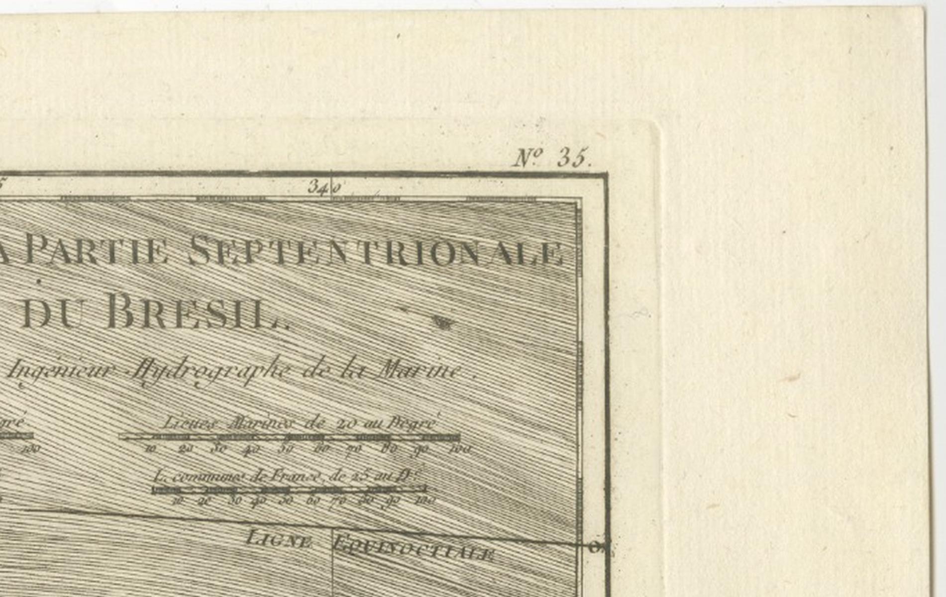
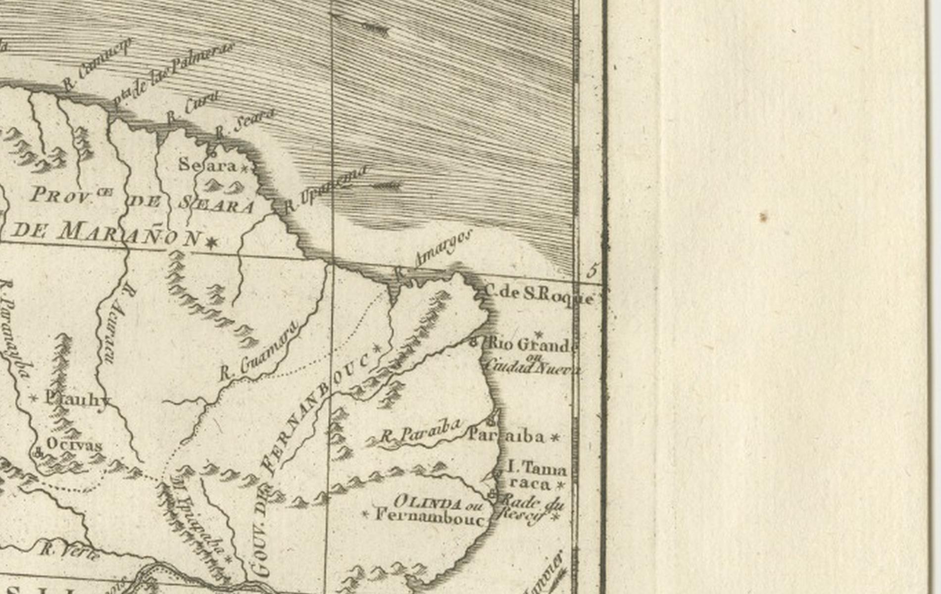
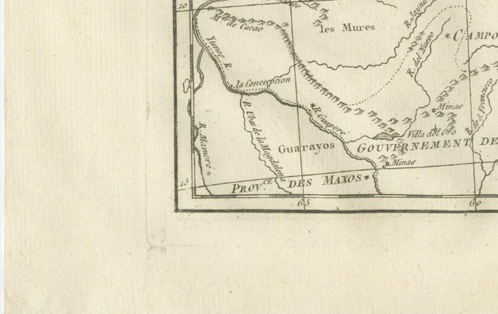
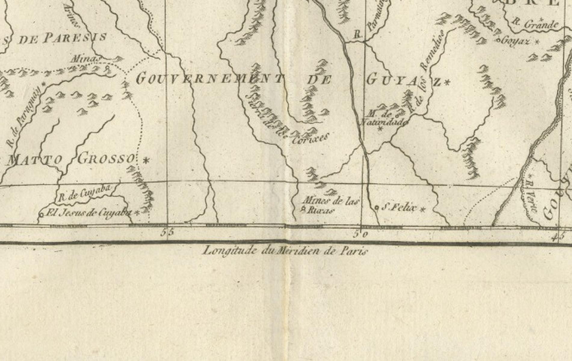
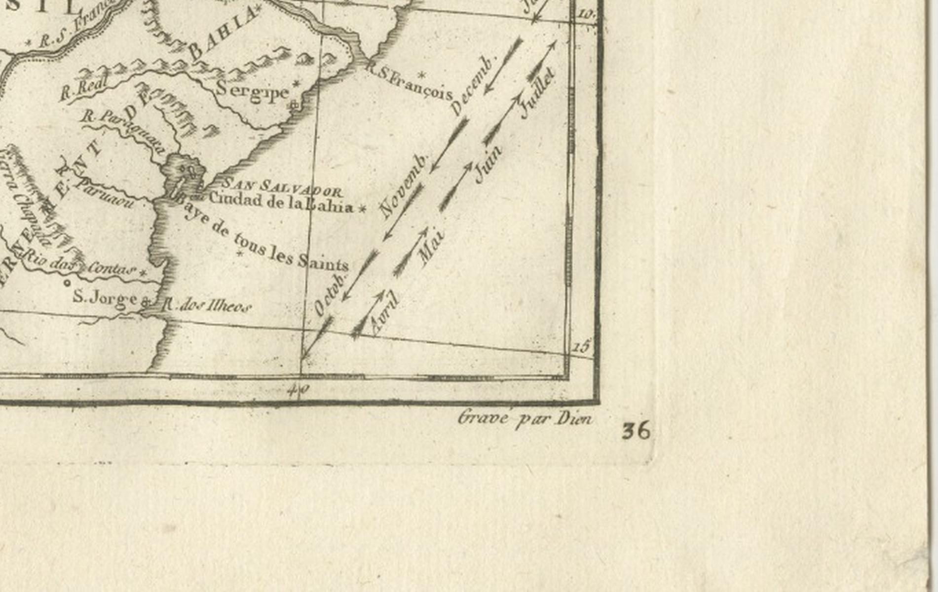
Northern Brazil and the Amazon basin in a copper engraving by Rigobert Bonne, circa 1780, titled "Carte de la Partie Septentrionale du Bresil," credited "Par Mr. Bonne, Ingénieur Hydrographe de la Marine." The sheet is printed in black without color.
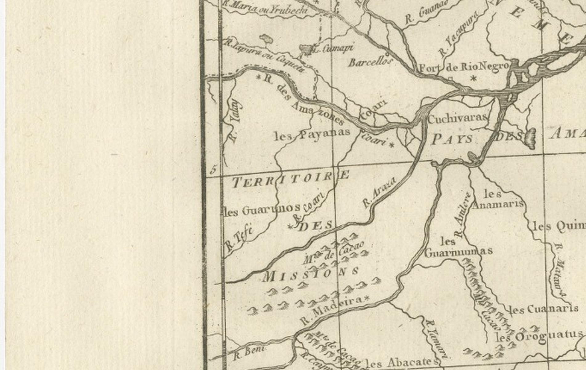
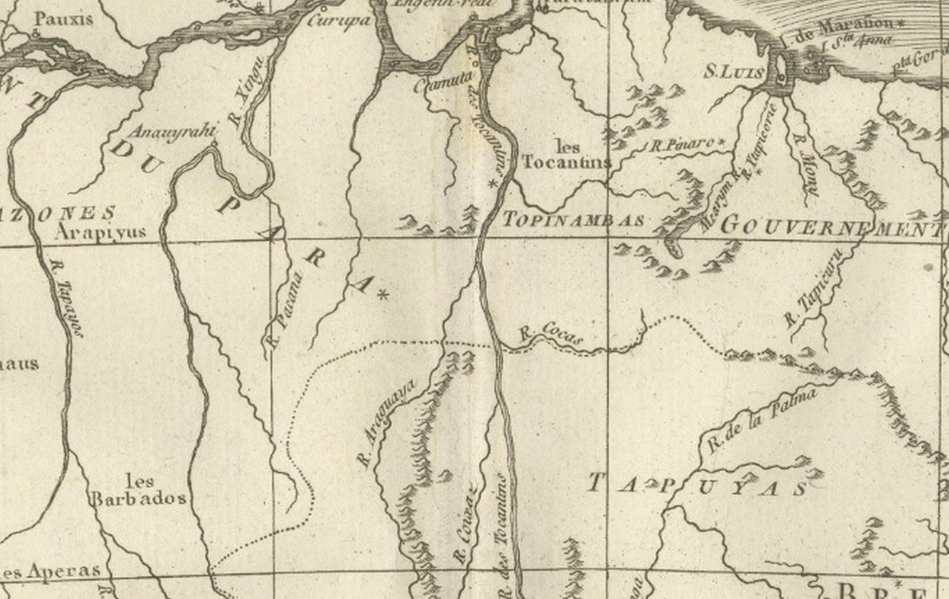
The Amazon runs across the sheet from the left edge to its great mouth at the top, with its tributaries drawn as branching lines through the forest. Guiana appears at the upper left, and the Atlantic coast runs along the top and right edges, shaded with engraved lines under the title. The "Pays des Amazones" is lettered across the lowlands, and the governments of Maranhão and Mato Grosso are named, together with the territory of Native missions, with a wide stretch of Brazilian interior left open. A dotted line at the lower right marks a boundary, and scale bars for several kinds of league run beneath the title.
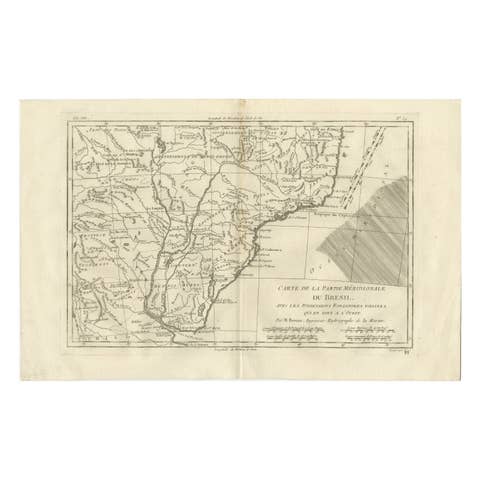
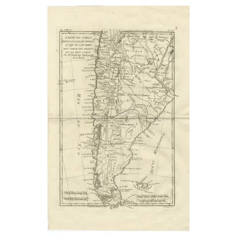
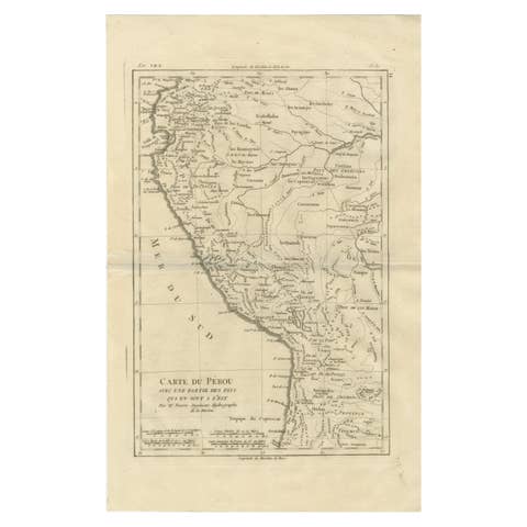
Bonne was hydrographer to the French navy at the Dépôt de la Marine in Paris, succeeding Jacques-Nicolas Bellin. The sheet belongs to a series of South American regional maps and shows the Portuguese colonial territory north of the settled coast.