About this sheet
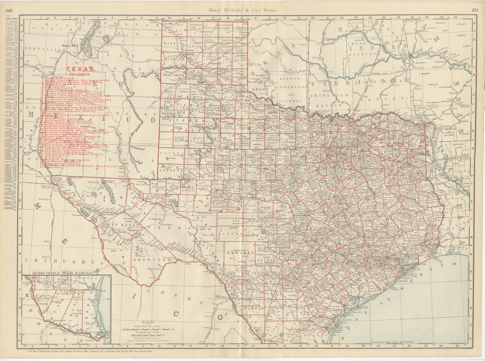
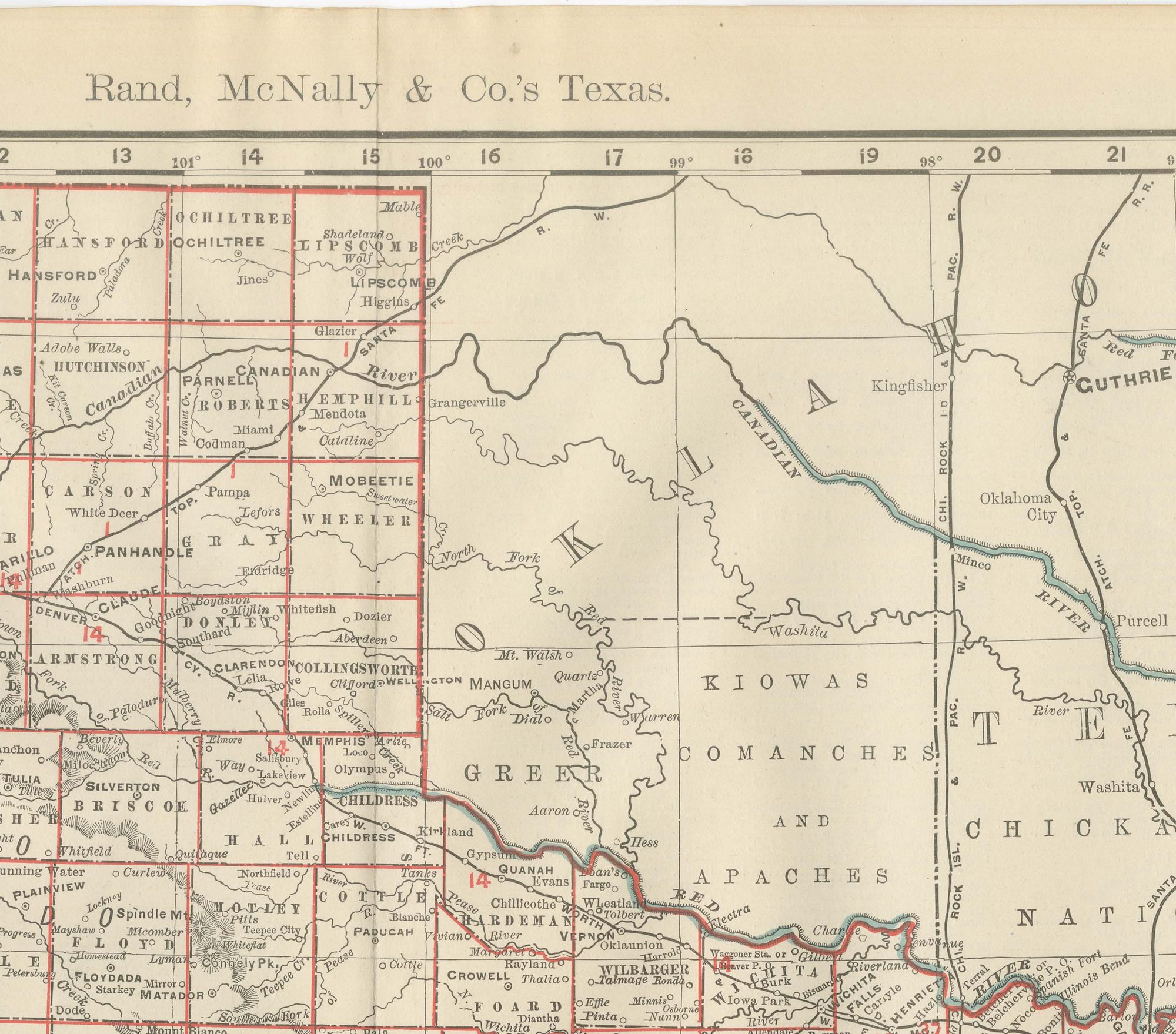
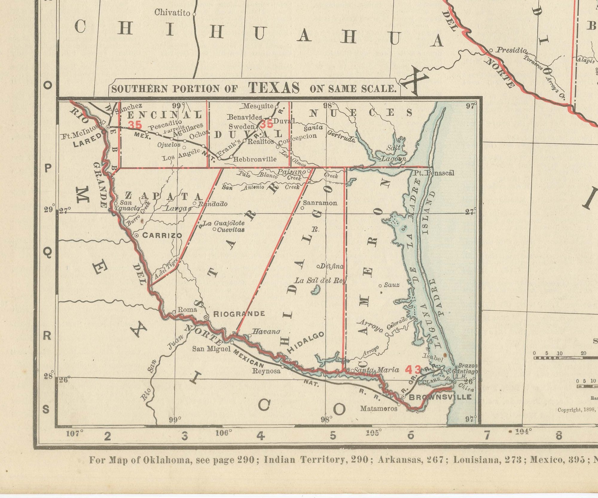
This antique map of Texas, a double-page spread on pages 280 and 281 of Rand McNally's 1899 indexed atlas, is one of the largest single-state sheets in the volume, running from the Panhandle and the Indian Territory border in the north to the Rio Grande and the Mexican border in the south, and from El Paso and the New Mexico line in the far west to the Sabine River and the Louisiana border in the east. The Panhandle counties, among them Dallam, Sherman, Hartley, Moore, Hutchinson, Roberts and Lipscomb, are organised into a strict township grid and shown still largely open rangeland, while a boxed inset at lower left, "Southern Portion of Texas, on Same Scale," extends coverage to the lower Rio Grande valley, with Cameron, Hidalgo and Starr counties.
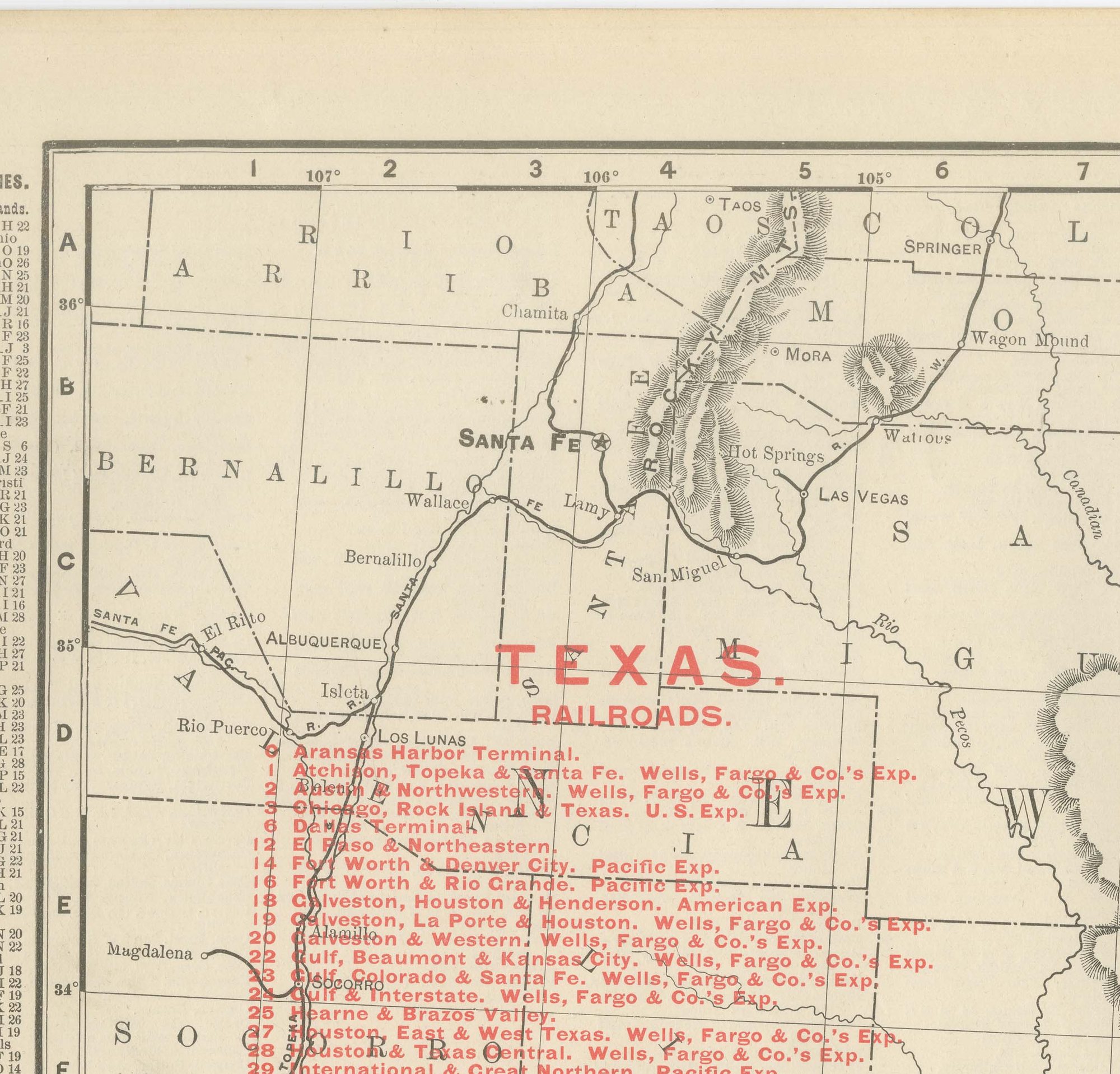
A very long red railroad legend at upper left numbers over seventy companies, among them the Atchison, Topeka and Santa Fe, the Fort Worth and Denver City, the Galveston, Houston and San Antonio, the International and Great Northern, the Missouri, Kansas and Texas, the Southern Pacific and the Texas and Pacific. By 1899 the network already reached most of the settled eastern two-thirds of the state, thinning markedly across the semi-arid Trans-Pecos country around El Paso and the Big Bend. Austin, the capital, and San Antonio, Houston, Dallas and Fort Worth sit among the densest concentrations of lines.
Scale is given as 34 statute miles to the inch, and a note at the foot directs the reader to the adjoining Oklahoma, Indian Territory, Arkansas, Louisiana, Mexico and New Mexico maps.
Rand McNally grew from a Chicago printing business started in the 1850s by William Rand, joined by Andrew McNally, and was by the 1890s a leading American map publisher known for railroad maps revised from issue to issue. This antique map of Texas is an original 1899 colour lithograph, the outline printed in black with the colours printed over it, issued folded through the centre. It is suitable for framing. The colour is printed rather than applied by hand.
The sheet is in good condition for its age, with light age toning, slightly deeper at the sheet edges, minor edge wear and the original central fold as issued. Please review the images for further condition details.
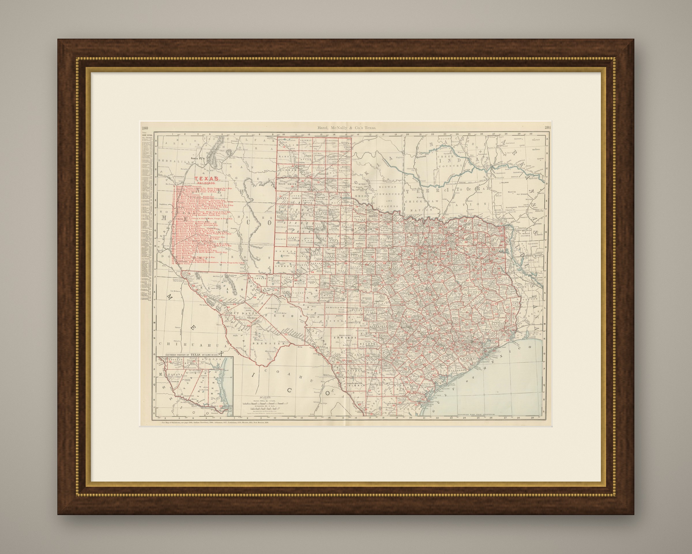
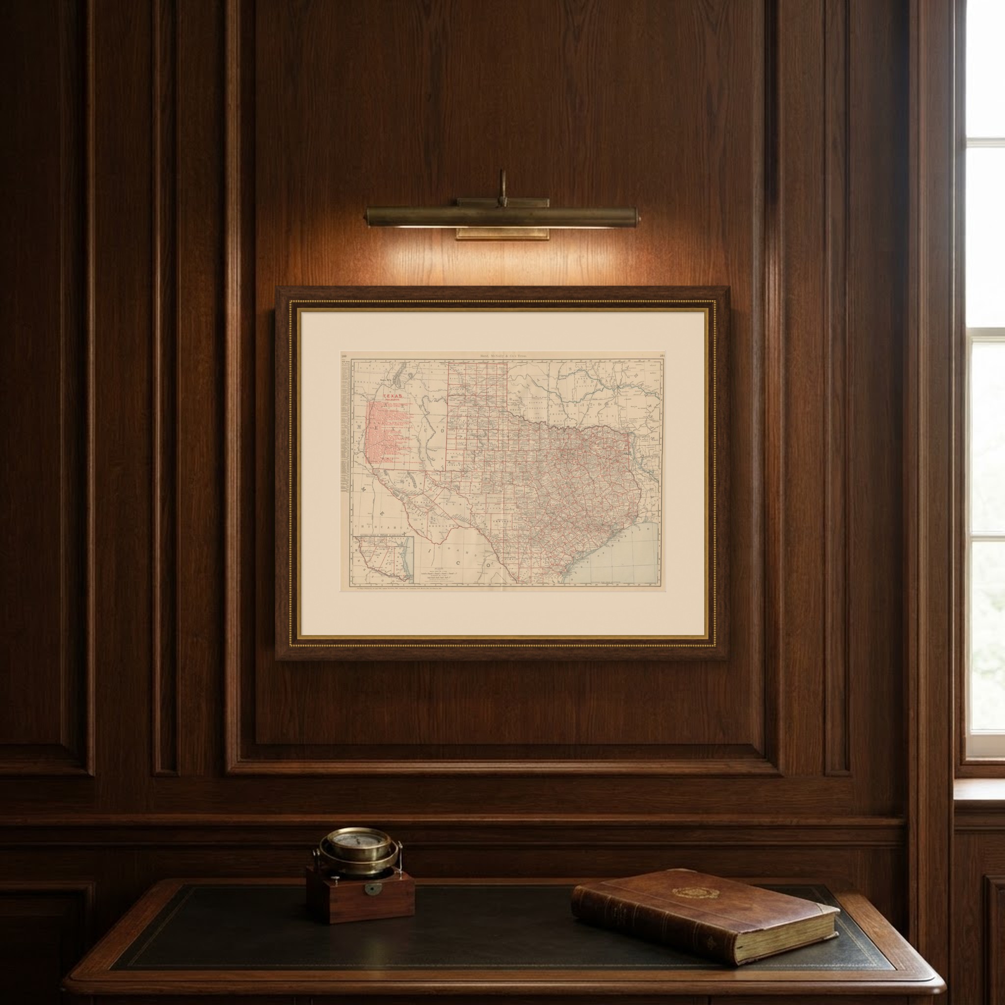
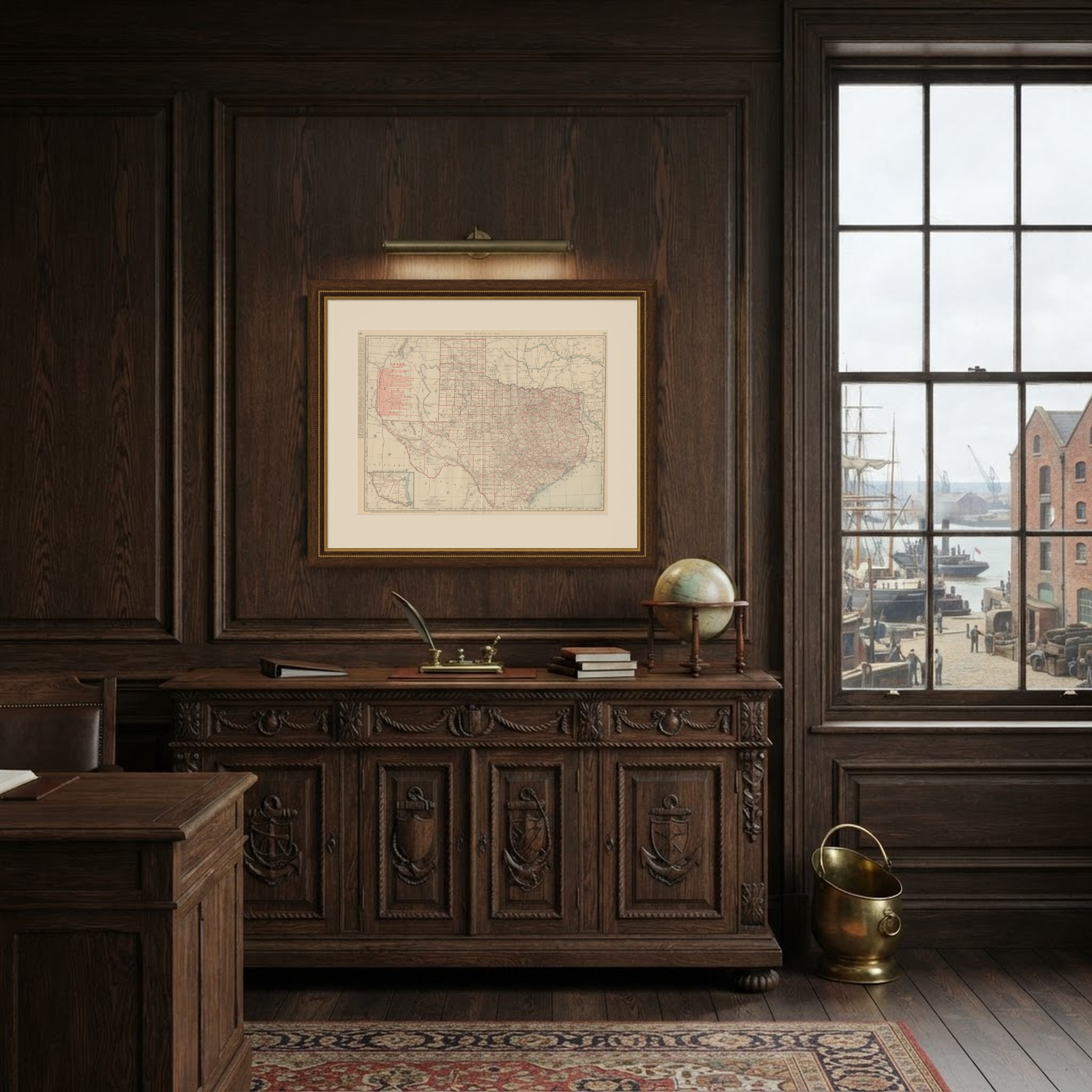
This is an original antique map, not a modern reproduction. This item is sold unframed. Any framed or interior images are shown for presentation and inspiration only, unless the listing explicitly states that the item is sold framed.