Original antique · The actual sheet photographed · Certificate of authenticity on request · Sold unframed · Worldwide shipping from € 15 (rates)
Date
1872
Sheet size
67.5 × 46 cm (26.6 × 18.1 in)
Condition
Fair
Reference
BG-12592-9
What the condition grades mean
Excellent
Bright and clean, with no faults worth mentioning.
Very good
Only light signs of age, such as faint toning.
Good
Normal signs of age for a sheet of this period: toning, some foxing, small marks or neat old repairs.
Fair
Clear faults such as staining, tears or repairs, priced to match.
Every fault we see is written in the condition note, and the whole sheet is shown uncropped in the photos.
Condition
General age-related toning, shows minor wear and creasing. Some soiling. Original folding line. English text on verso. Please review the images for further condition details.
About this sheet
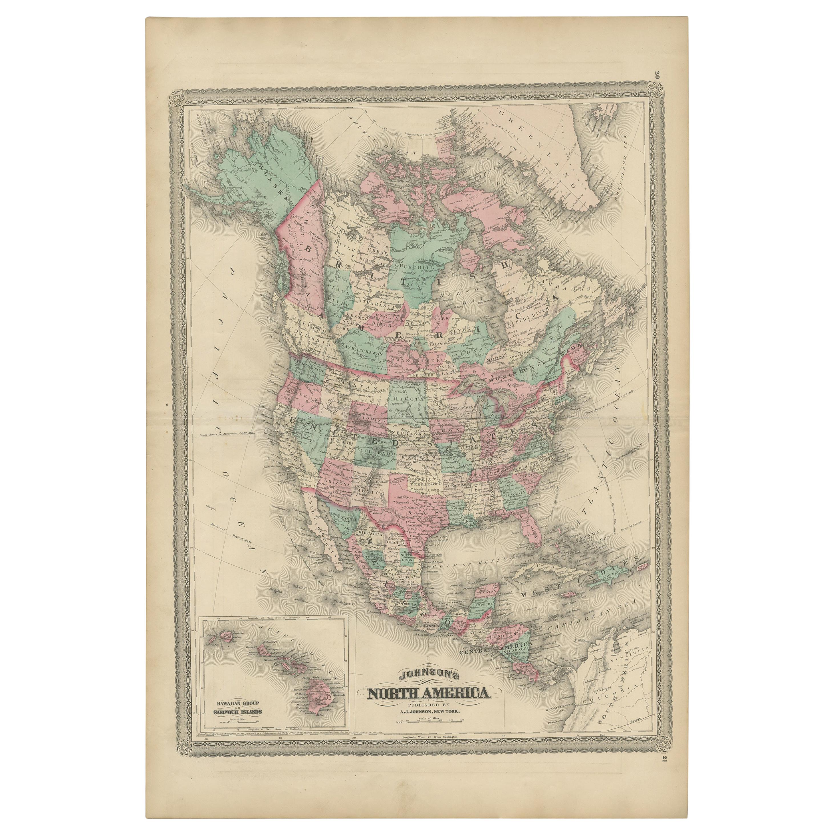
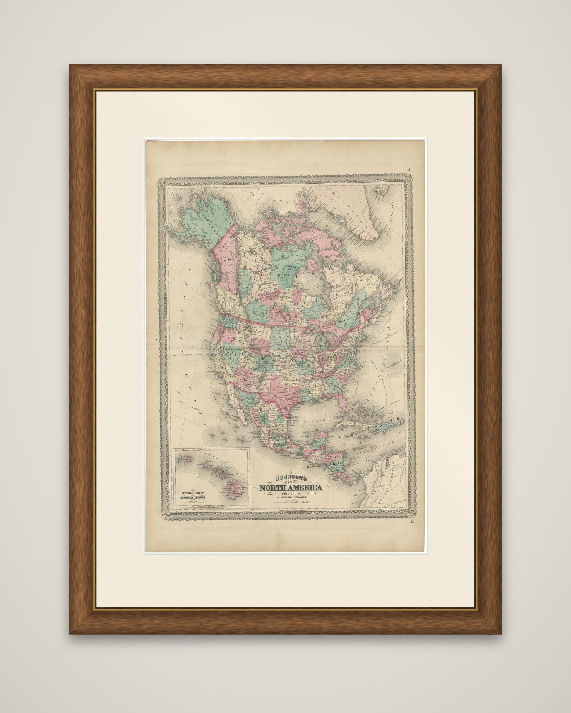
A map of North America, titled "Johnson's North America," from Johnson's New Illustrated Family Atlas of the World, published in New York by A.J. Johnson in 1872. The sheet is a color-printed map in a decorative chain-pattern border.
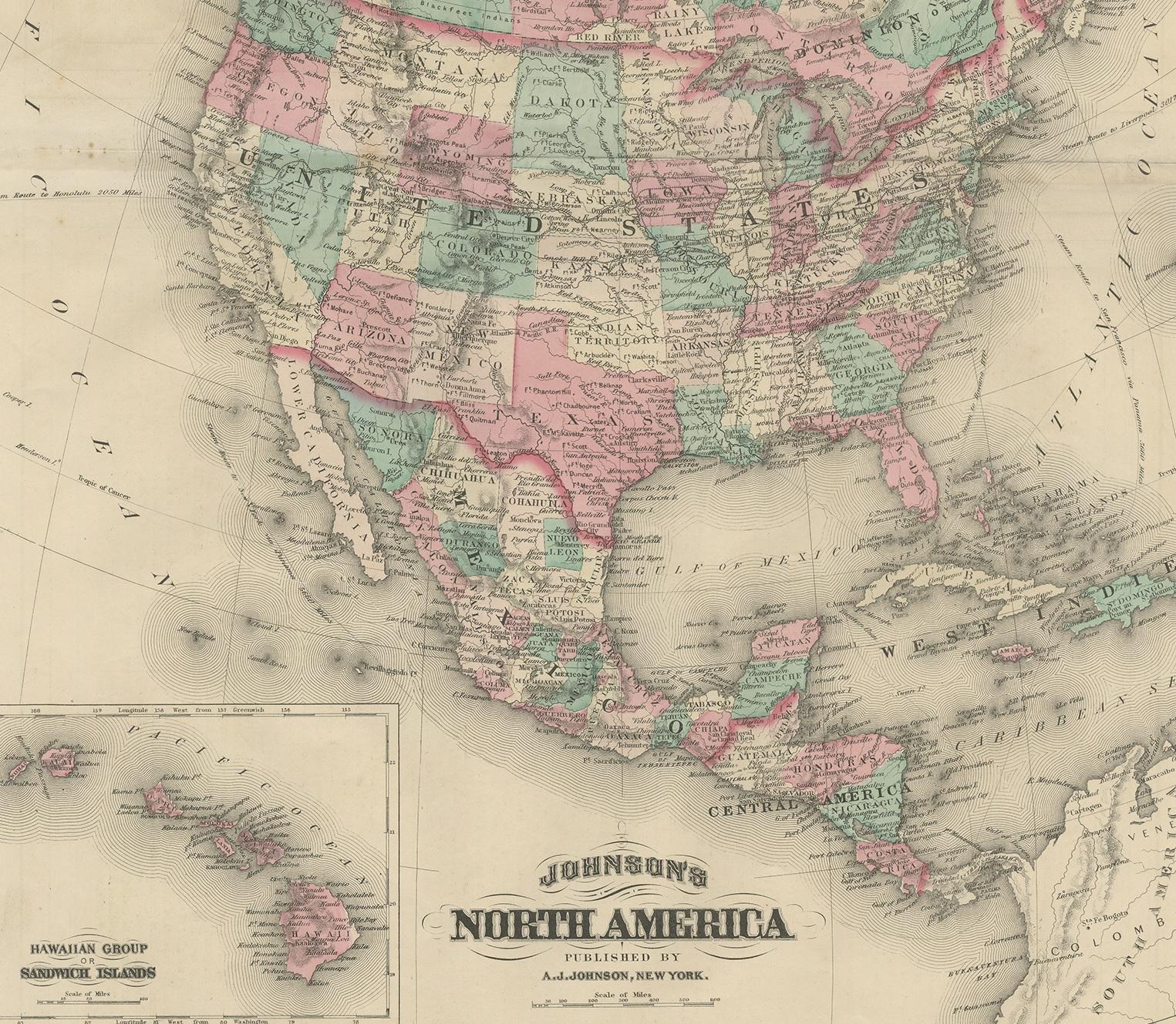
The continent is shown from the Arctic to Panama, with the United States divided into states and territories in pink, green, yellow and orange, and British America, Mexico and the Central American states each in their own colors. Alaska appears at the upper left in its own tone, Greenland at the top right, and the Gulf of Mexico, Cuba and the West Indies in the south. An inset at the lower left, "Hawaiian Group or Sandwich Islands," gives a larger-scale map of the Hawaiian islands, with each island in a different color. The title and publisher's imprint are at the lower right, and part of South America appears in the corner.
The map shows the continent in the early 1870s, when Alaska was a new purchase and the western territories were still being organized.