About this sheet
New Mexico & Northern New Spain – Enlightenment Map by Rigobert Bonne, c.1780
Description
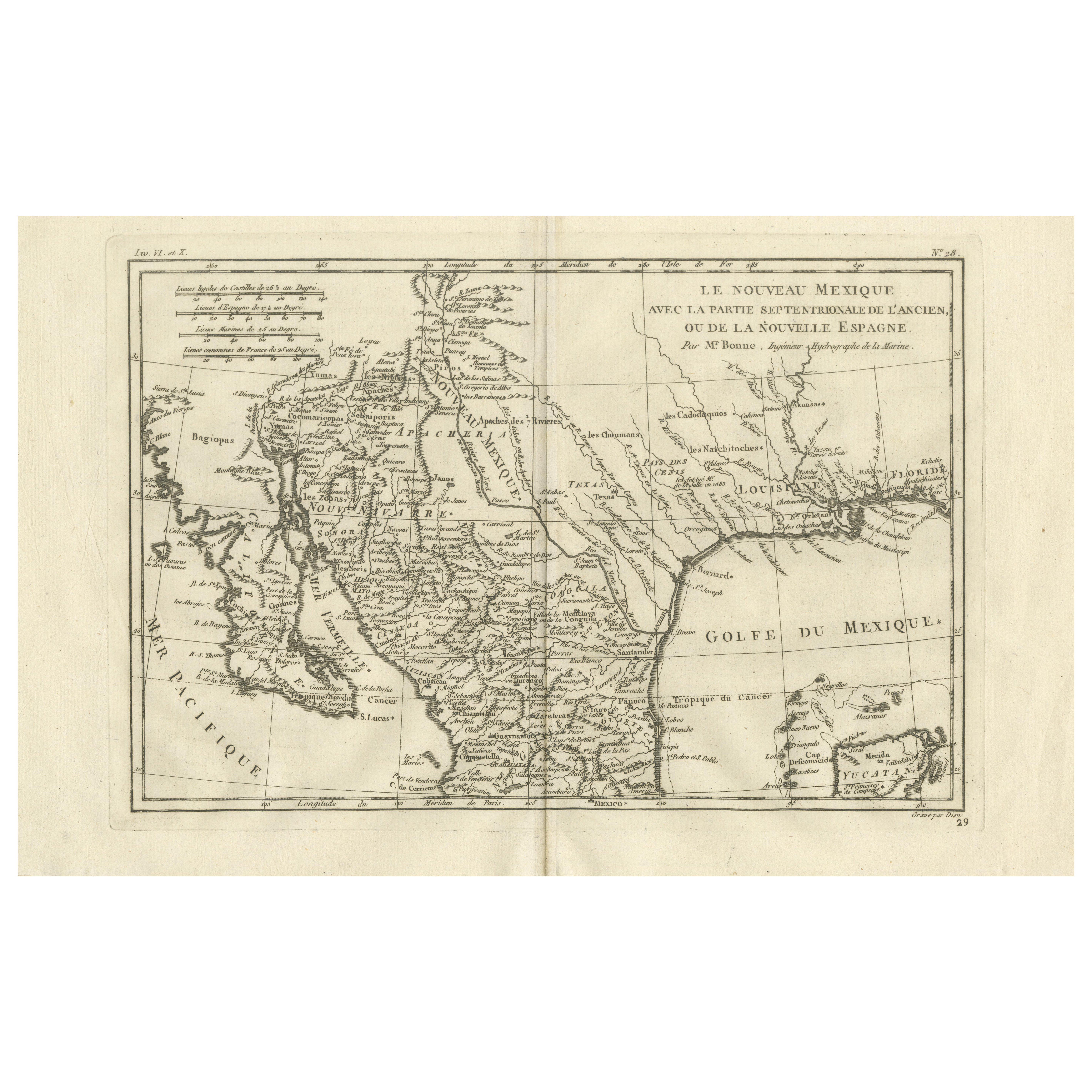
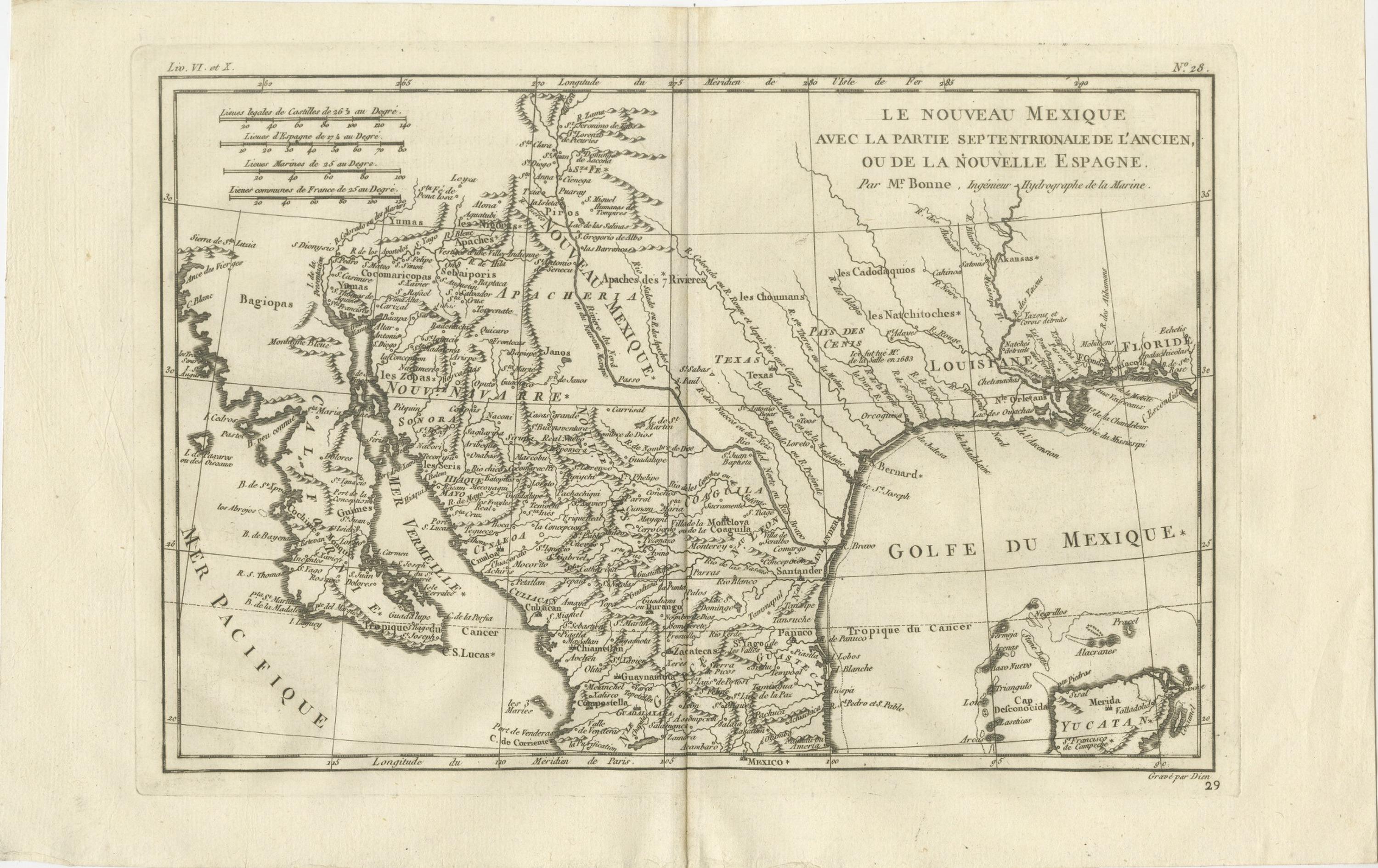
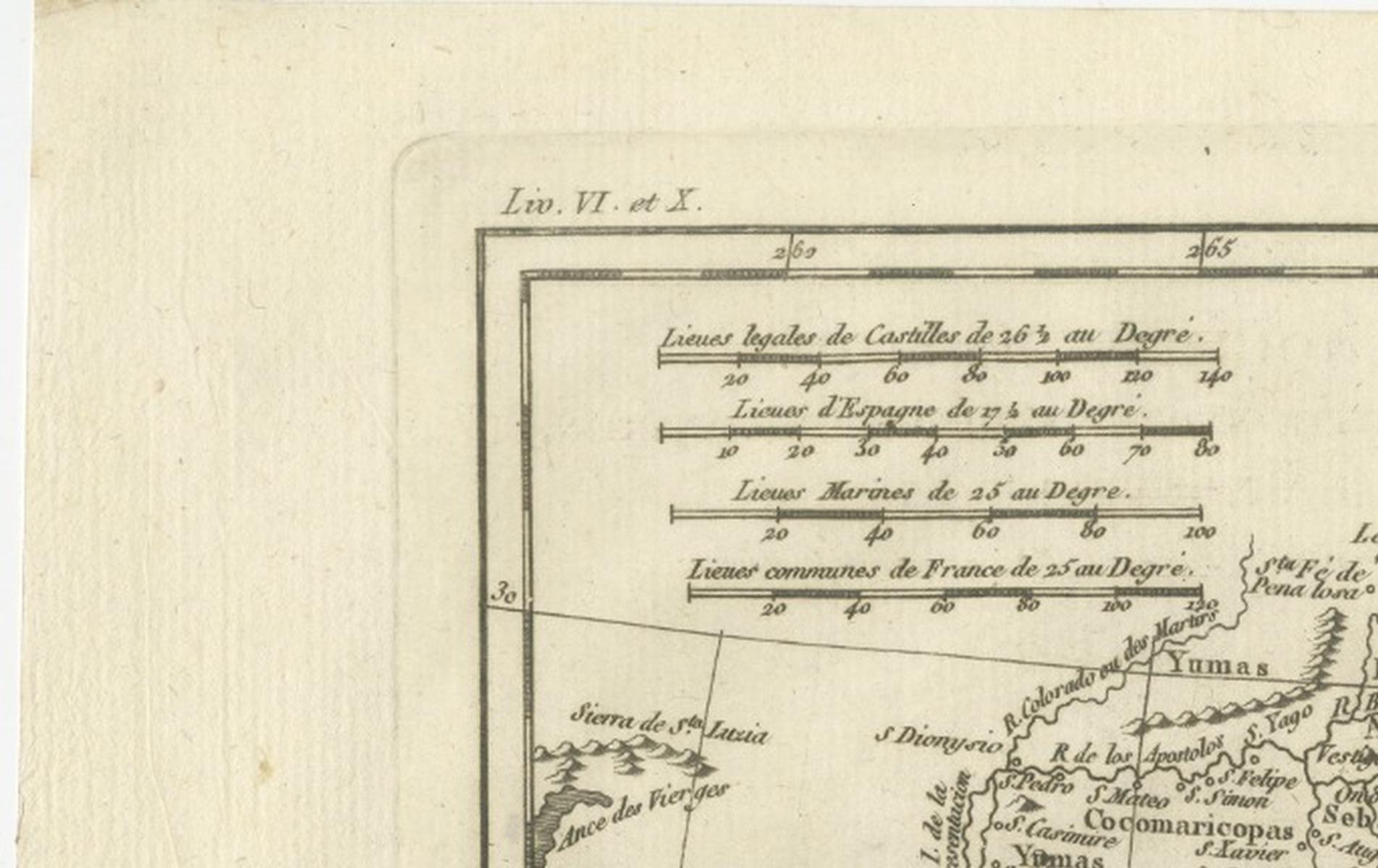
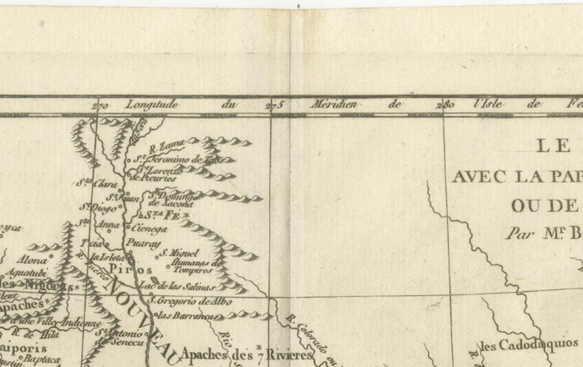
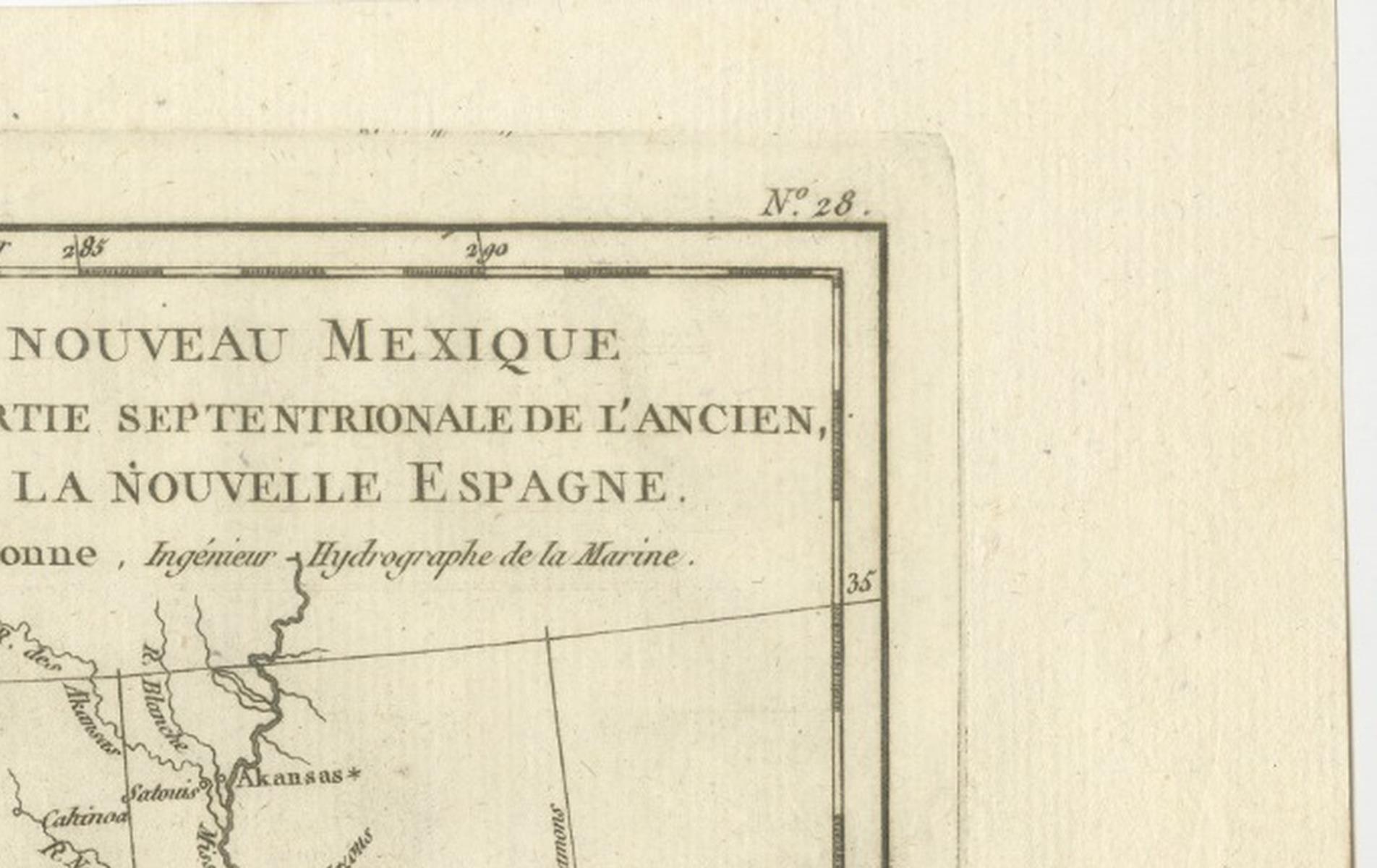
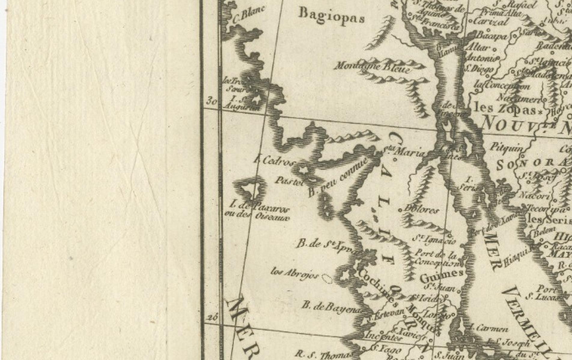
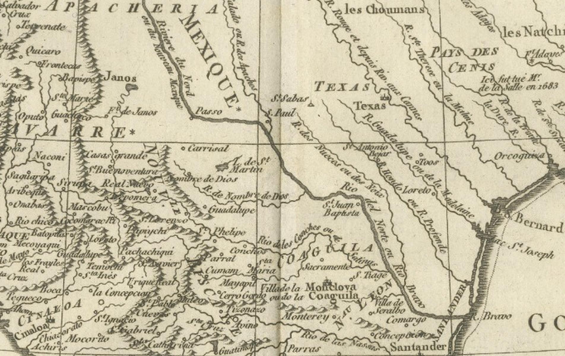
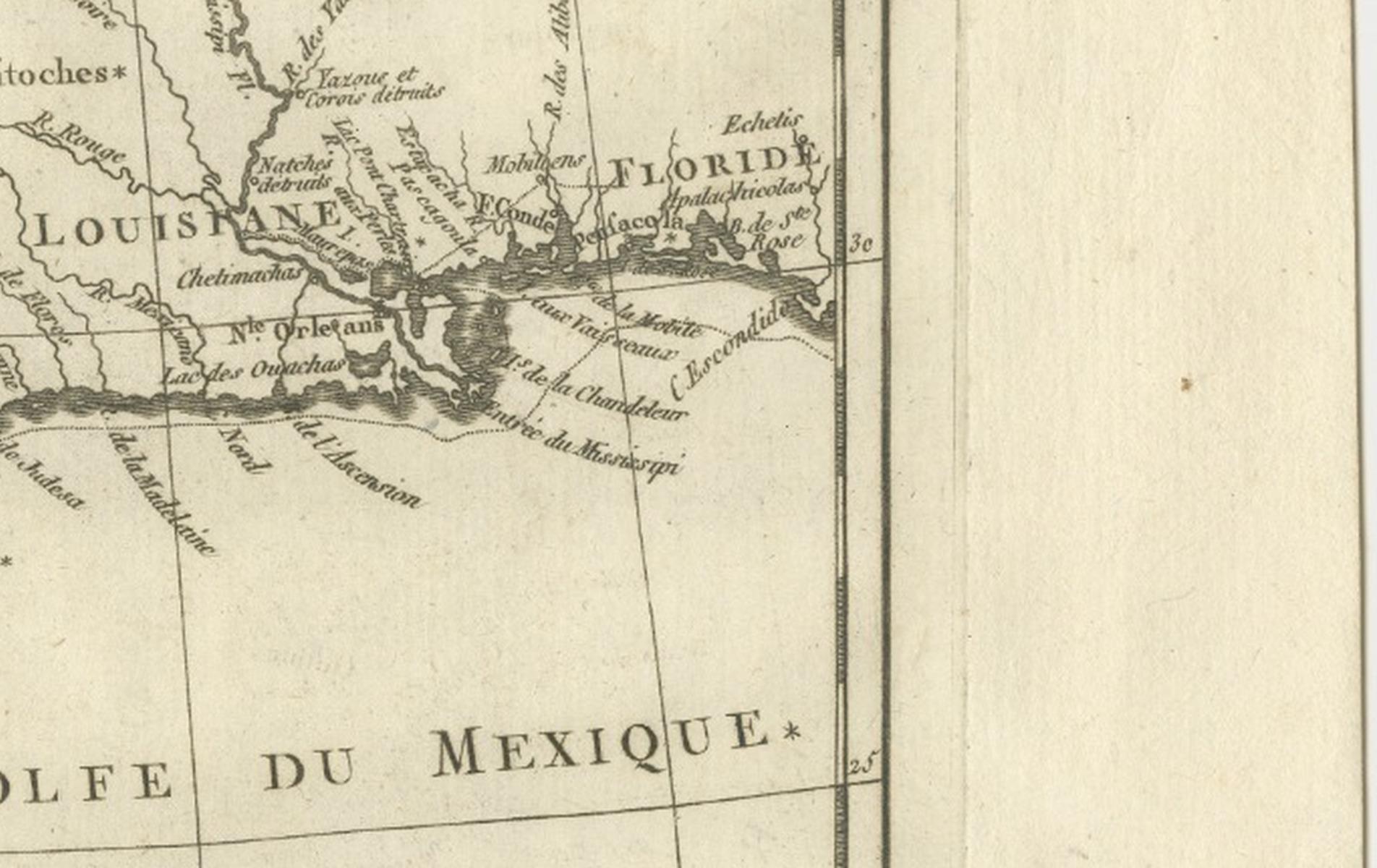
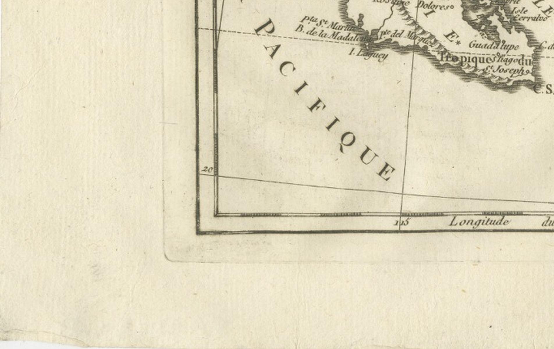
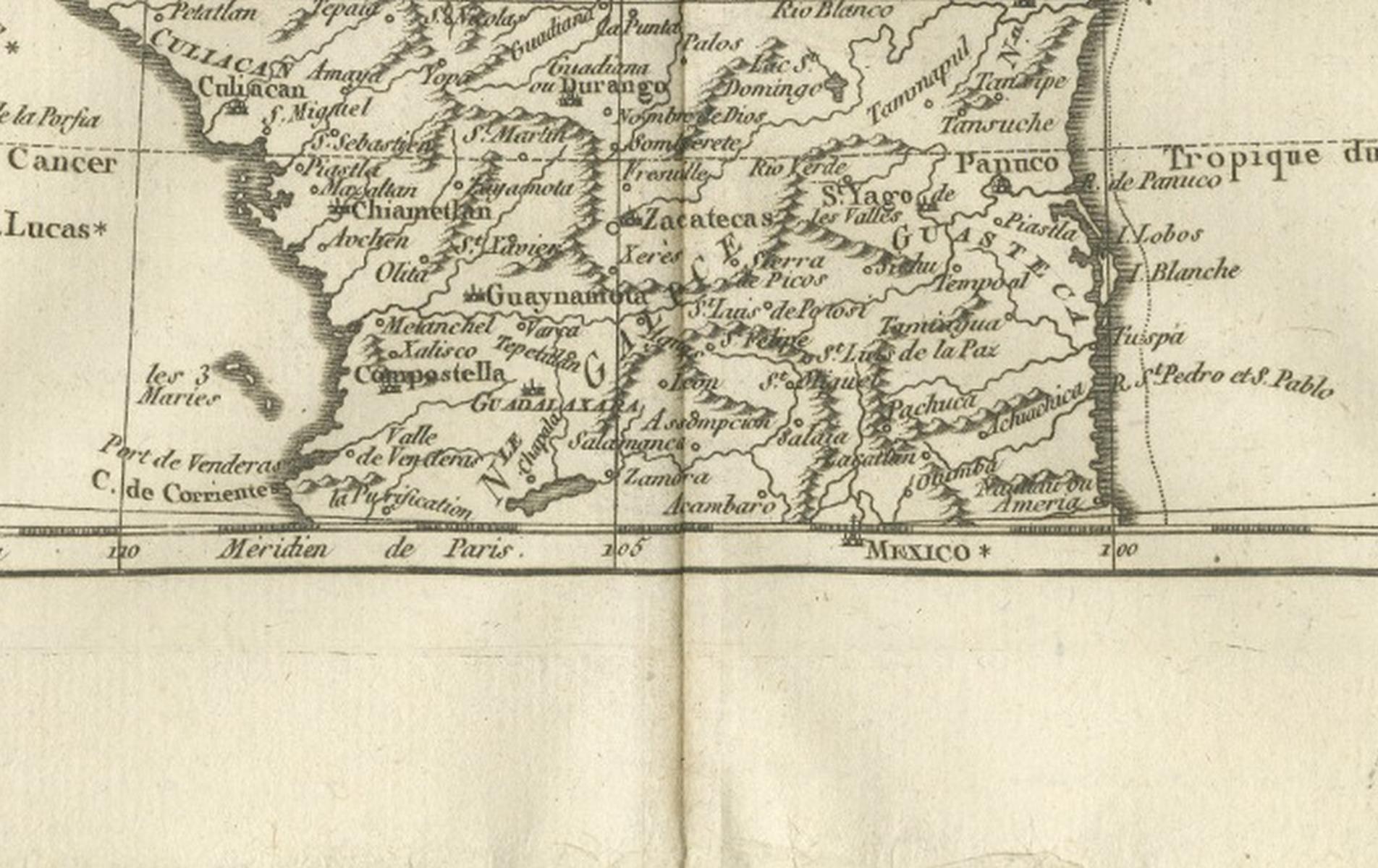
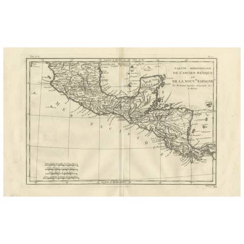
This finely engraved late-18th-century map depicts New Mexico and the northern regions of New Spain, titled Le Nouveau Mexique avec la Partie Septentrionale de l’Ancien, ou de la Nouvelle Espagne, engraved circa 1780 by Rigobert Bonne, one of the leading figures of Enlightenment-era French cartography. The map covers a vast swath of what is now the southwestern United States and northern Mexico, including New Mexico, Texas, Louisiana, northern Mexico, and the Gulf Coast, offering a clear European scientific view of Spain’s northern colonial frontier.
Bonne served as Ingénieur-Hydrographe de la Marine and chief cartographer at the Dépôt de la Marine in Paris, where he succeeded Jacques-Nicolas Bellin. His work marked a decisive transition in French mapmaking toward scientific accuracy, standardized projection, and the systematic integration of contemporary geographic intelligence. This map exemplifies Bonne’s mature style, combining dense geographic information with remarkable clarity and restraint.
The map shows Spanish provinces, Indigenous regions, river systems, and emerging colonial settlements with precision. Major features such as the Rio Grande, Mississippi River, Gulf of Mexico, and Pacific coastline anchor the composition, while regions including New Mexico, Texas, Louisiana, Yucatán, and northern New Spain are clearly delineated. References to Indigenous territories, missions, and colonial routes reflect late-18th-century European understanding of the region’s political and cultural complexity.
Visually calm yet expansive, the map’s wide horizontal format, fine engraving, and balanced density give it strong architectural presence. It functions equally well as a scholarly historical document and as a refined decorative piece for a study, library, or contemporary interior. Collectors of early American cartography and interior designers alike value Bonne’s work for its intellectual authority and understated elegance.
Condition report:
Good antique condition. Light age toning and minor handling wear consistent with 18th-century copperplate engraving. Original centerfold as issued. Clean impression with strong legibility; margins ample for framing.
Framing tips:
Best presented in a dark walnut or ebonized frame with a generous ivory or warm off-white mat. Museum glass recommended to preserve detail and enhance contrast. Particularly effective as a wide-format statement piece.
SEO keywords:
New Mexico antique map, Northern New Spain map, Nouvelle Espagne antique map, Nouveau Mexique map, Texas antique map, Louisiana antique map, Spanish colonial map America, Rio Grande map, Mississippi River map, Gulf of Mexico antique map, 18th century America map, Rigobert Bonne map, French Enlightenment cartography, Indigenous territories map, early American Southwest map, decorative antique wall map, historical map United States Mexico
Technique: Copperplate engraving
Maker: Rigobert Bonne, France, circa 1780