About this sheet
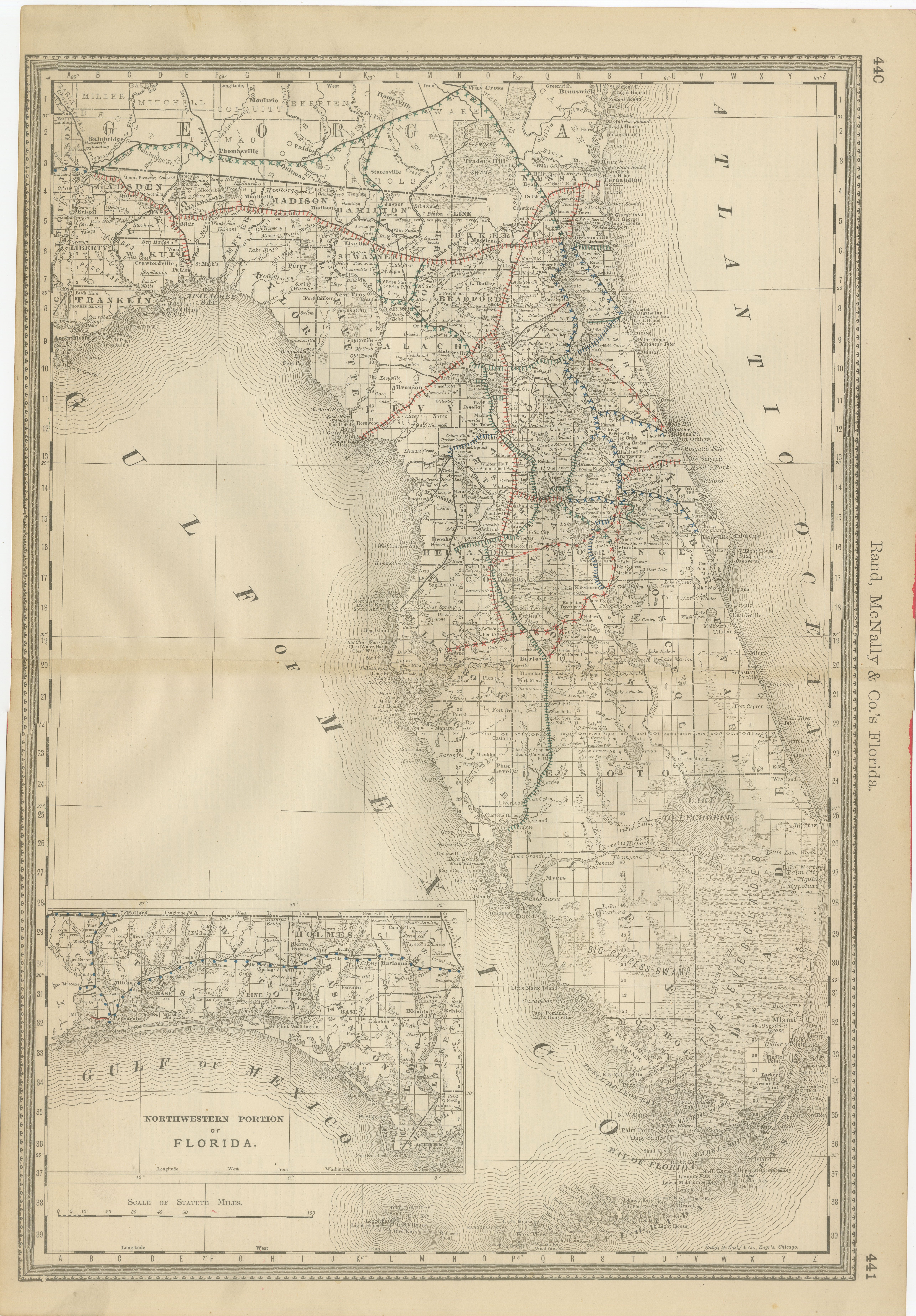
Florida Map 1888 – Rand McNally Antique Lithograph
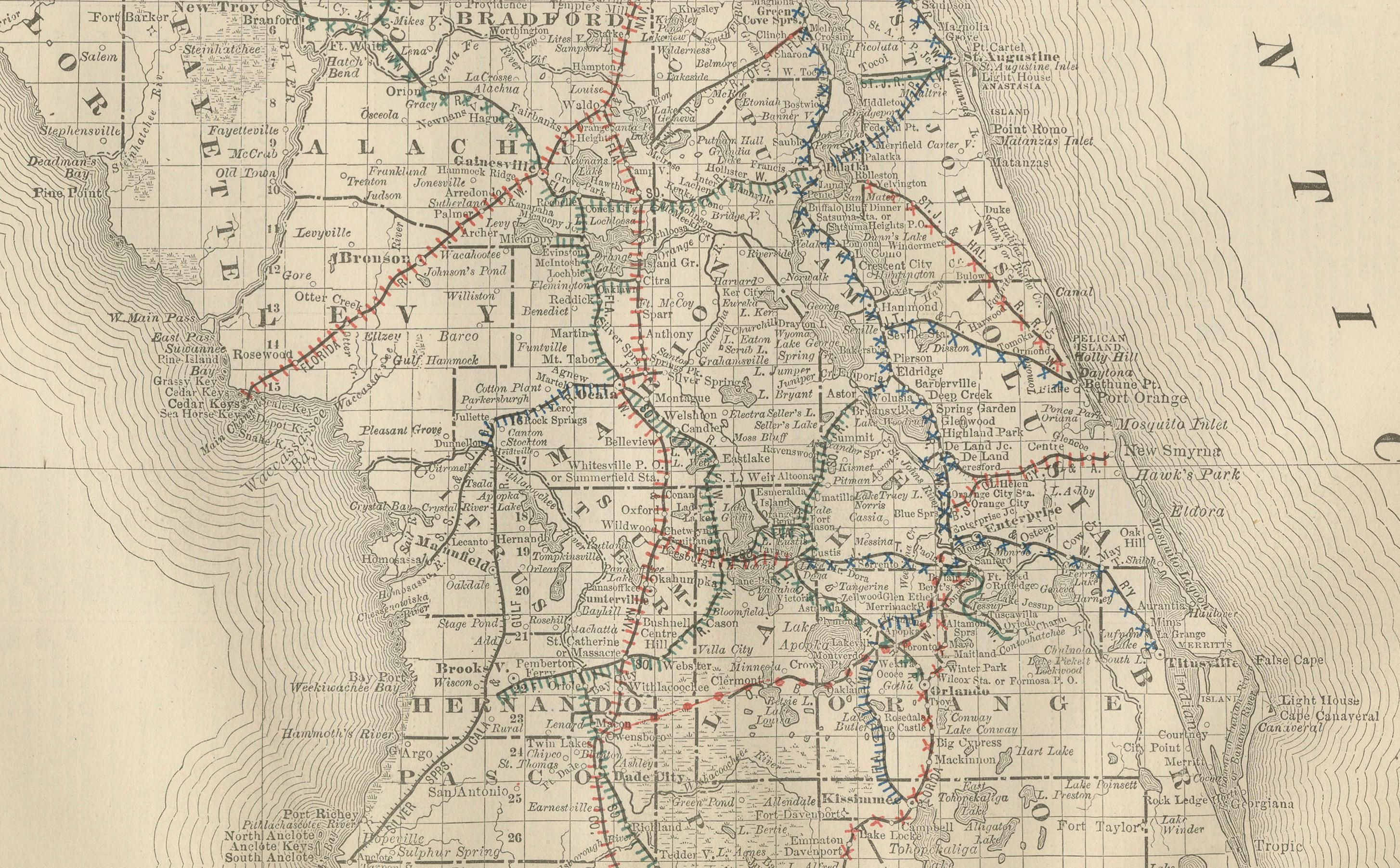
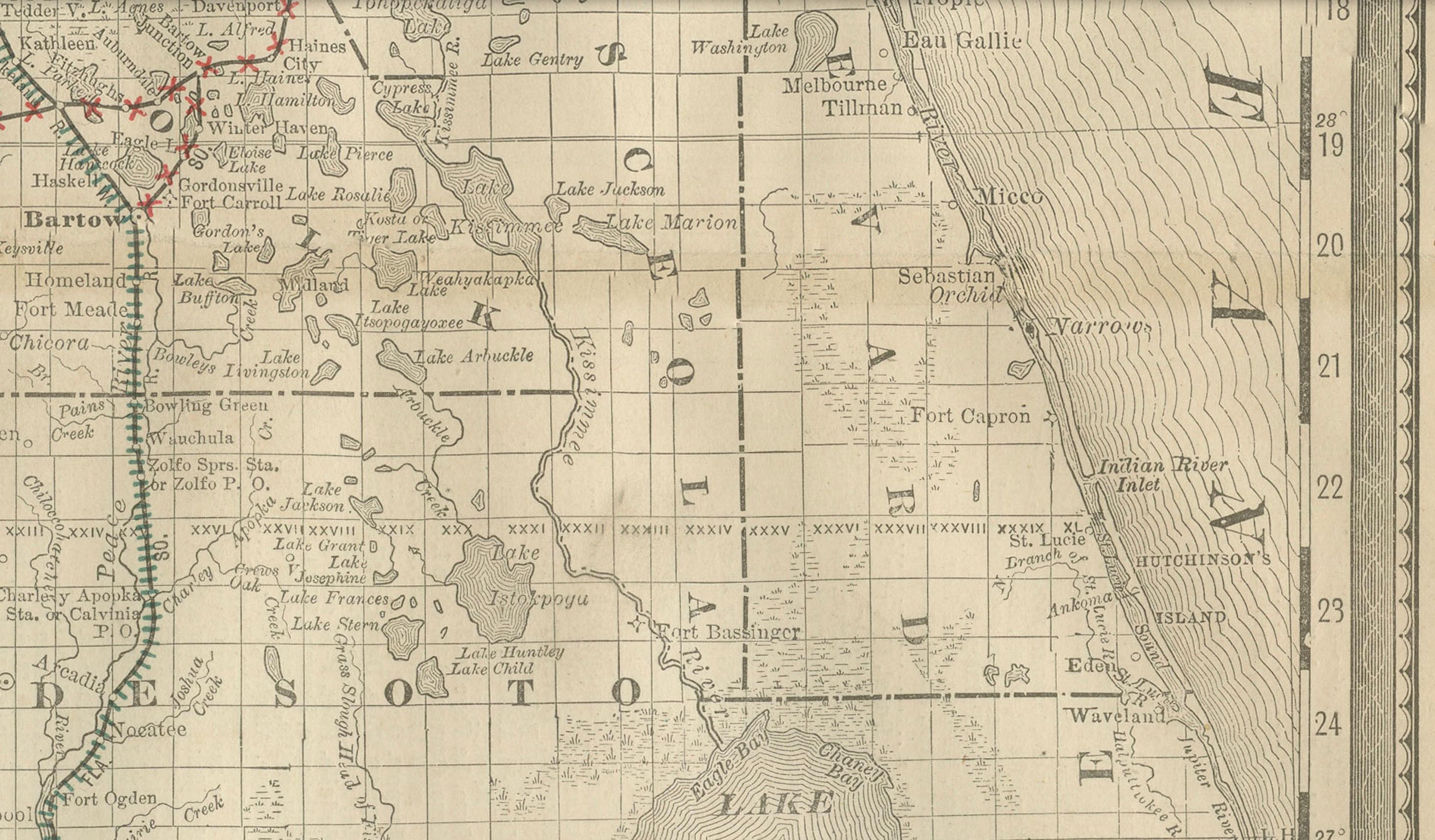
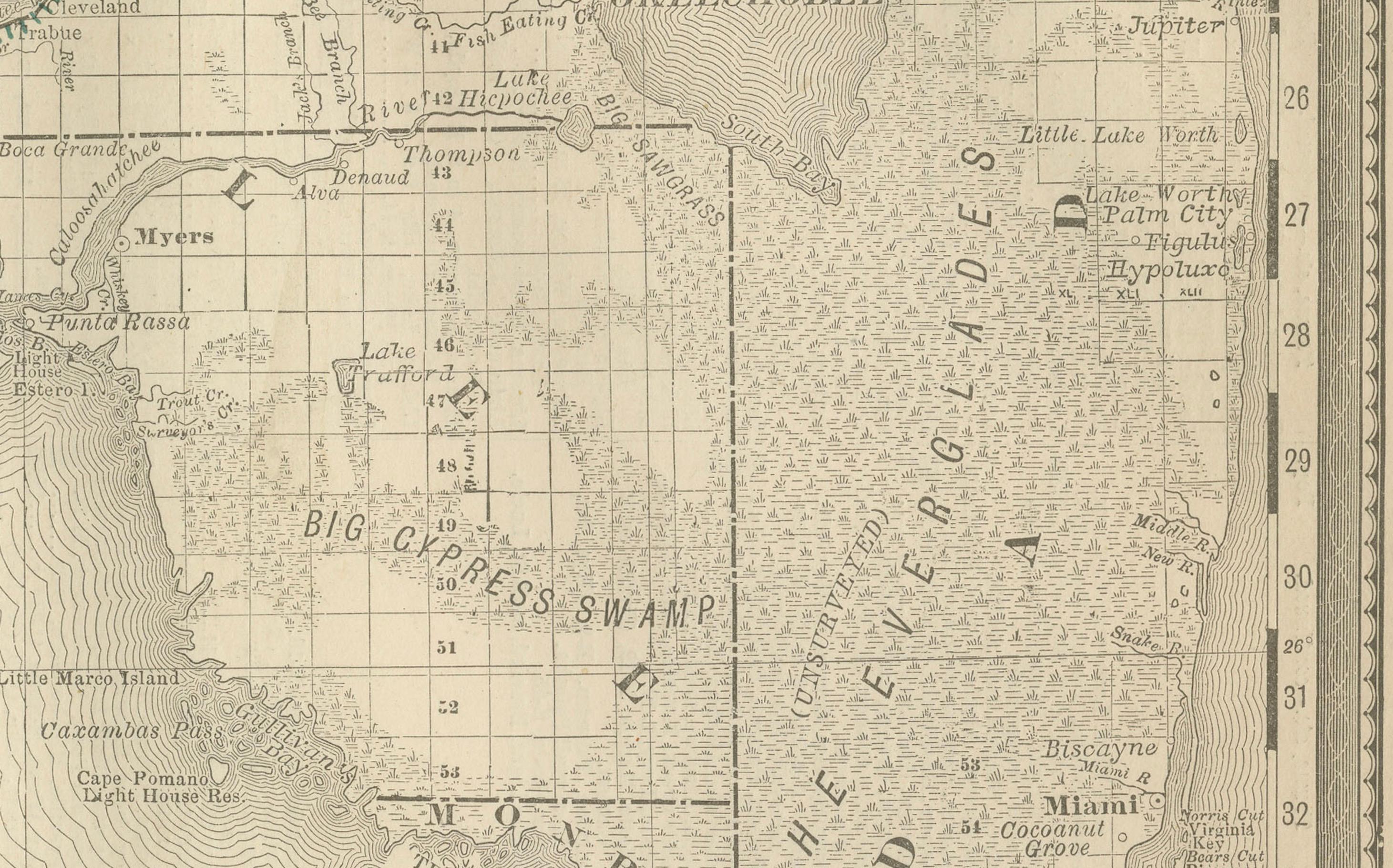
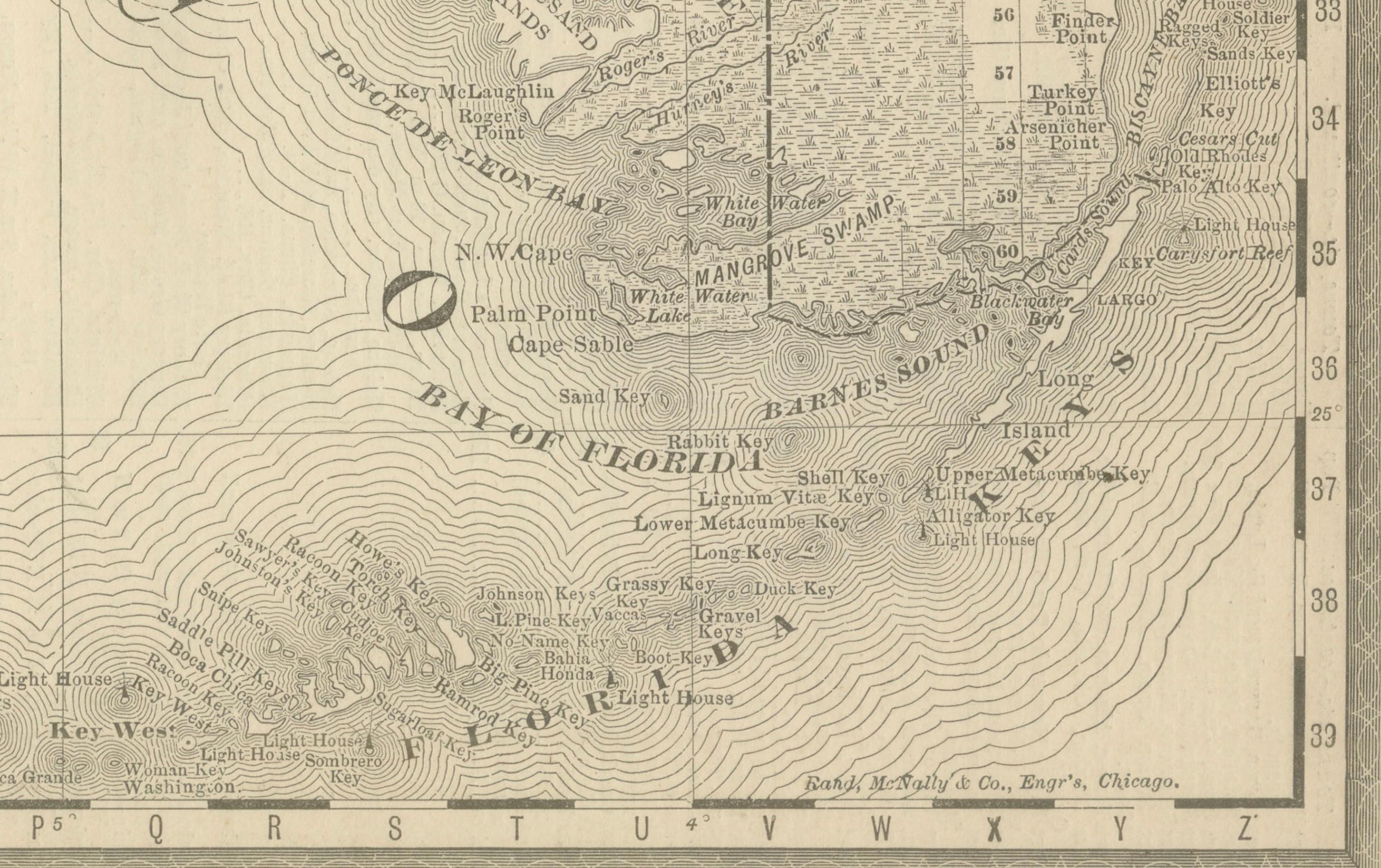
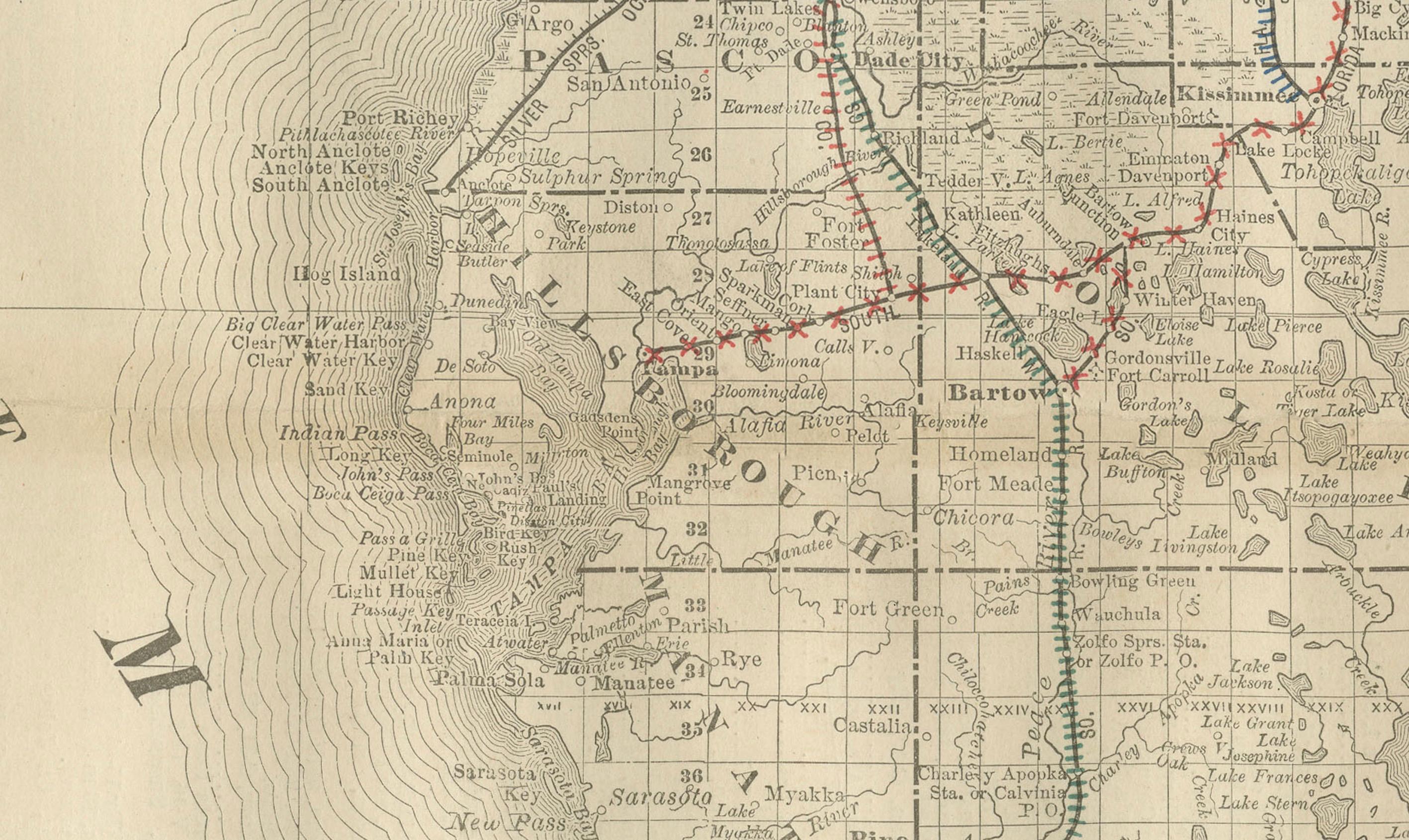
This antique 1888 map of Florida, published by Rand, McNally & Co., presents a detailed view of the state in the late 19th century, just as Florida was transitioning from a sparsely populated frontier to a developing agricultural and tourist destination. The map highlights the counties, towns, railroads, and natural features that defined Florida during this important period.
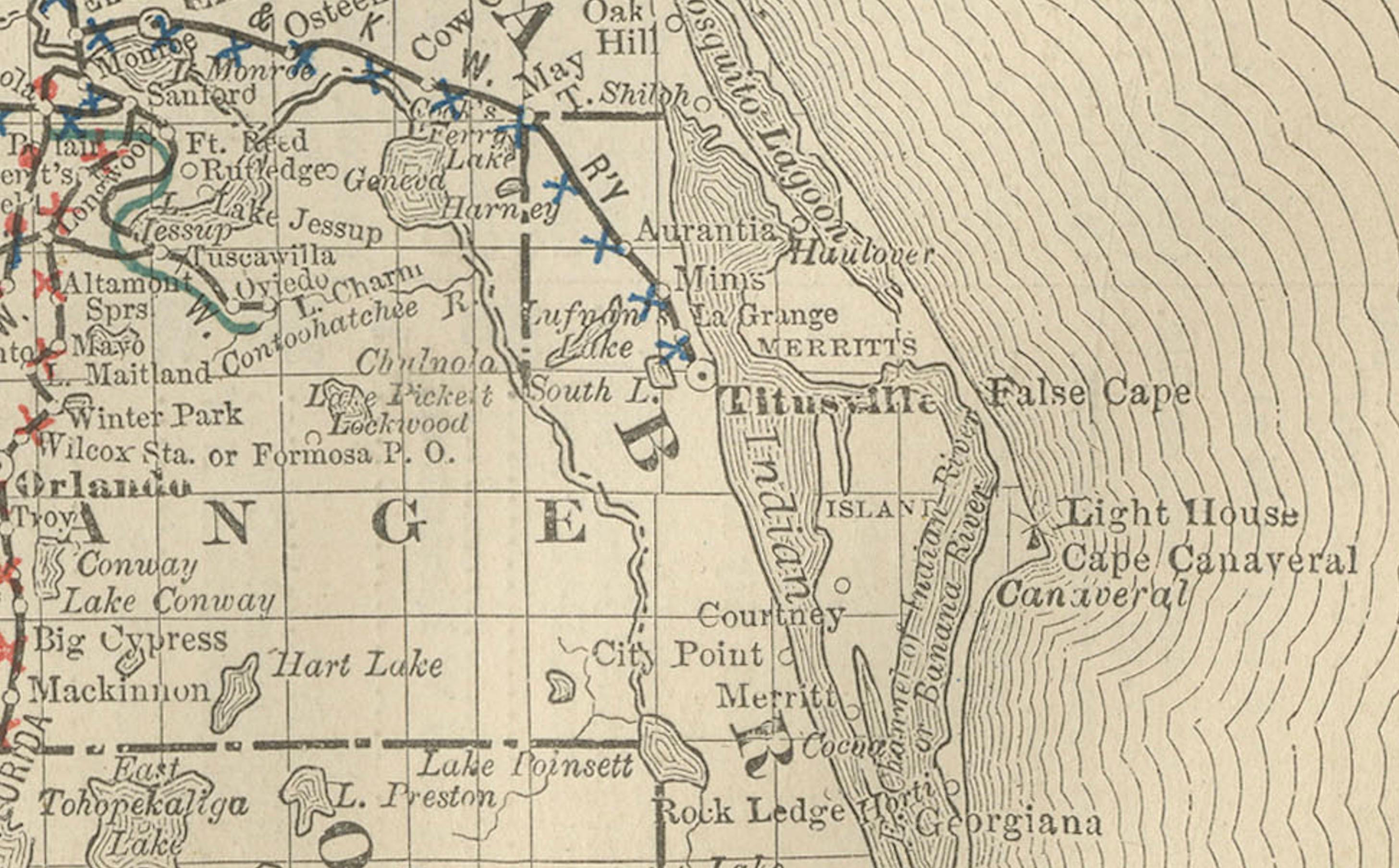
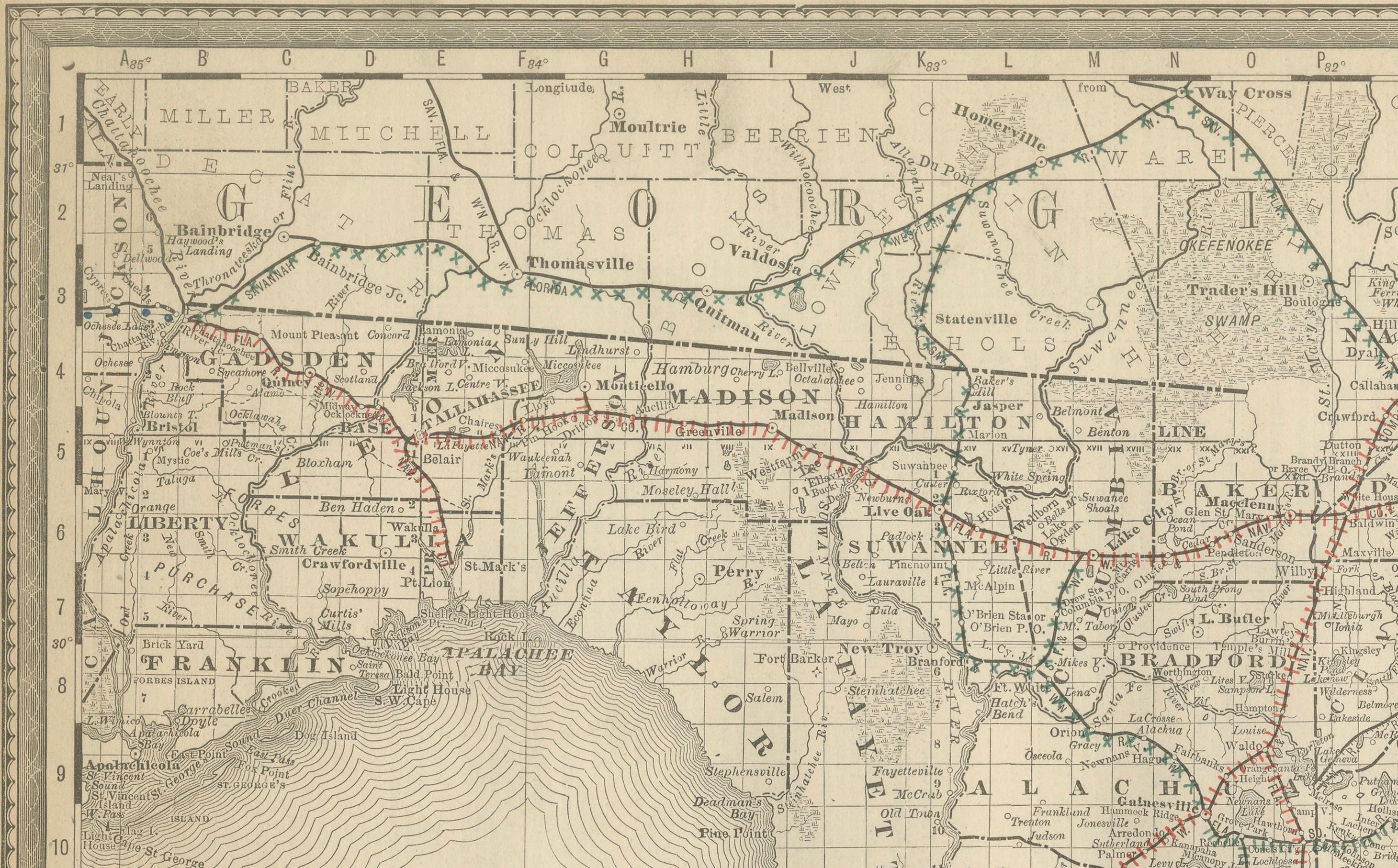
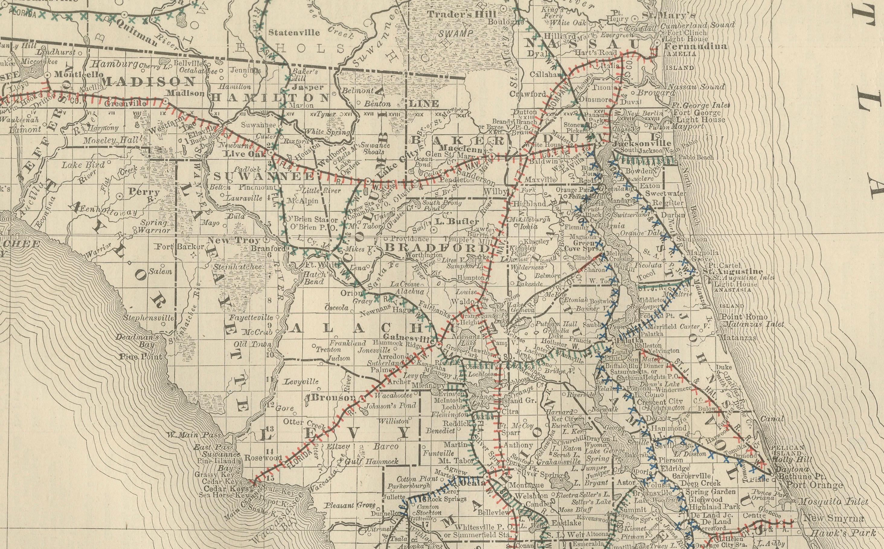
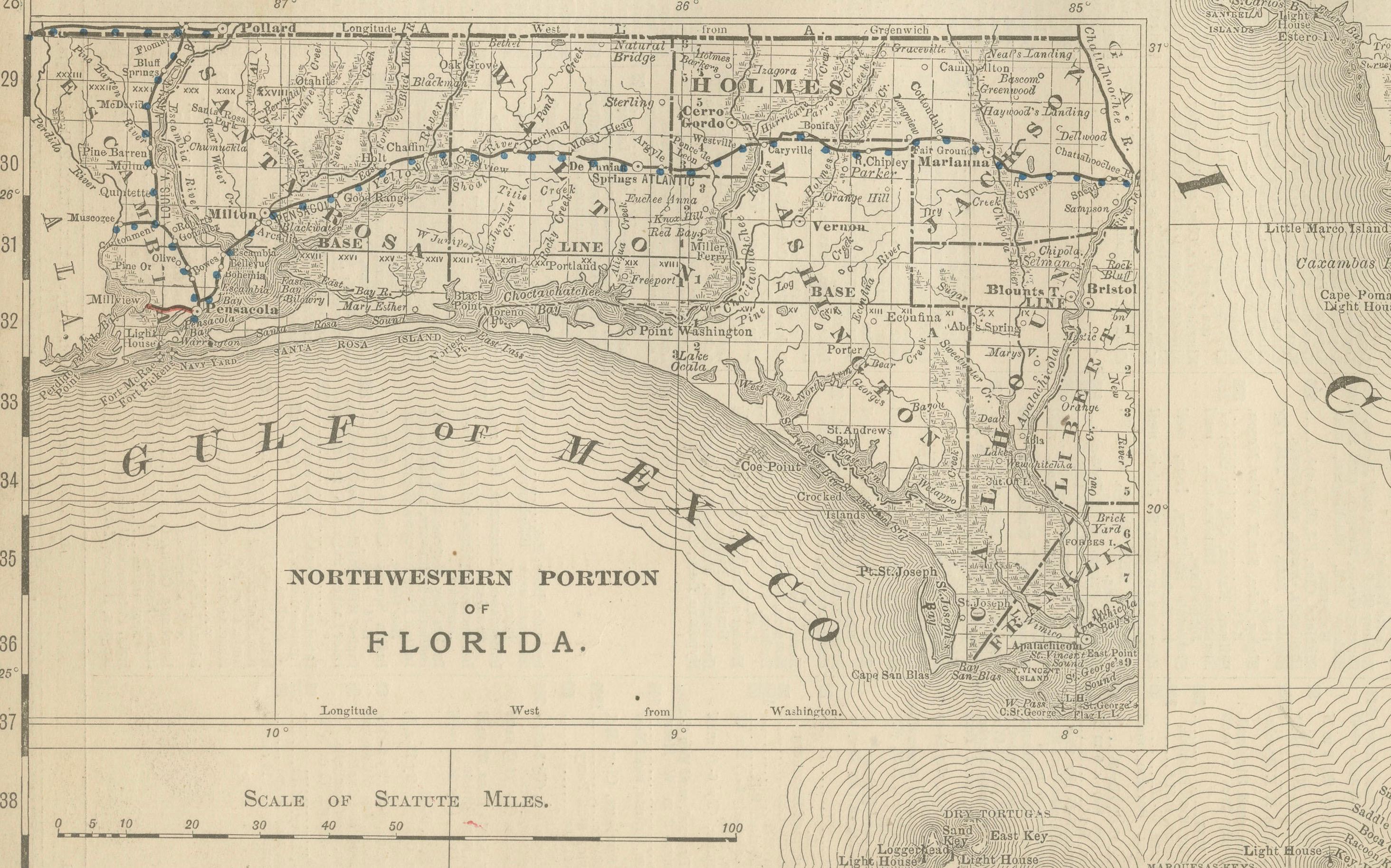
The map shows the entire peninsula, bordered by the Atlantic Ocean on the east and the Gulf of Mexico on the west, with an inset at lower left providing additional detail of the northwestern portion of Florida, often referred to as the Panhandle. Major cities and towns such as Jacksonville, Tallahassee, Tampa, Key West, and Pensacola are marked, alongside smaller settlements that were beginning to grow during this period. The map also depicts Lake Okeechobee and the vast Everglades, still largely unexplored and unsettled at the time.
Railroads, drawn in red and blue lines, dominate the map and illustrate Florida’s rapid integration into the national transportation system. Important lines include the Florida Railway & Navigation Company, the Savannah, Florida & Western, and the early railroads extending southward through Orlando and into Tampa Bay. These lines foreshadow the development of Florida as a major agricultural and tourism center, with citrus, timber, and later winter tourism driving growth.
Geographically, the map emphasizes Florida’s distinctive shape and strategic location between the Gulf and the Atlantic. The Florida Keys are clearly marked, with Key West shown as a significant settlement and naval station. The map also captures Florida’s proximity to Cuba and the Caribbean, underlining its importance as a gateway for trade and migration.
Rand, McNally’s cartographic clarity is evident in the careful engraving of county lines, waterways, and towns. This map provides an invaluable record of Florida at a moment when its economy and population were beginning to expand dramatically, laying the groundwork for the state’s transformation in the 20th century.
Special note: Maps of Florida from the late 19th century are increasingly sought-after, as they show the state before the large-scale drainage of the Everglades, the expansion of railroads to Miami and Key West, and the later boom in tourism and real estate. This 1888 Rand McNally edition captures Florida at a formative moment, making it especially desirable for collectors of early Florida and Gulf Coast history.
Condition: Very good, with some mild age toning and a center fold as issued. Light foxing in margins, but paper remains strong with no tears or losses. Plate mark visible.
Framing tips: A black or walnut frame with a cream mat will highlight the map’s coastal detail. A subtle blue secondary mat would emphasize Florida’s maritime setting, enhancing the Gulf of Mexico and Atlantic coastlines.
Technique: Lithograph with printed detail
Maker: Rand, McNally & Co., Chicago, 1888