About this sheet
Subject: United States, Presidential Elections
Date: 1960 (dated)
Color: Printed Color
Size: 24.9 x 17.9 inches (63.2 x 45.5 cm)
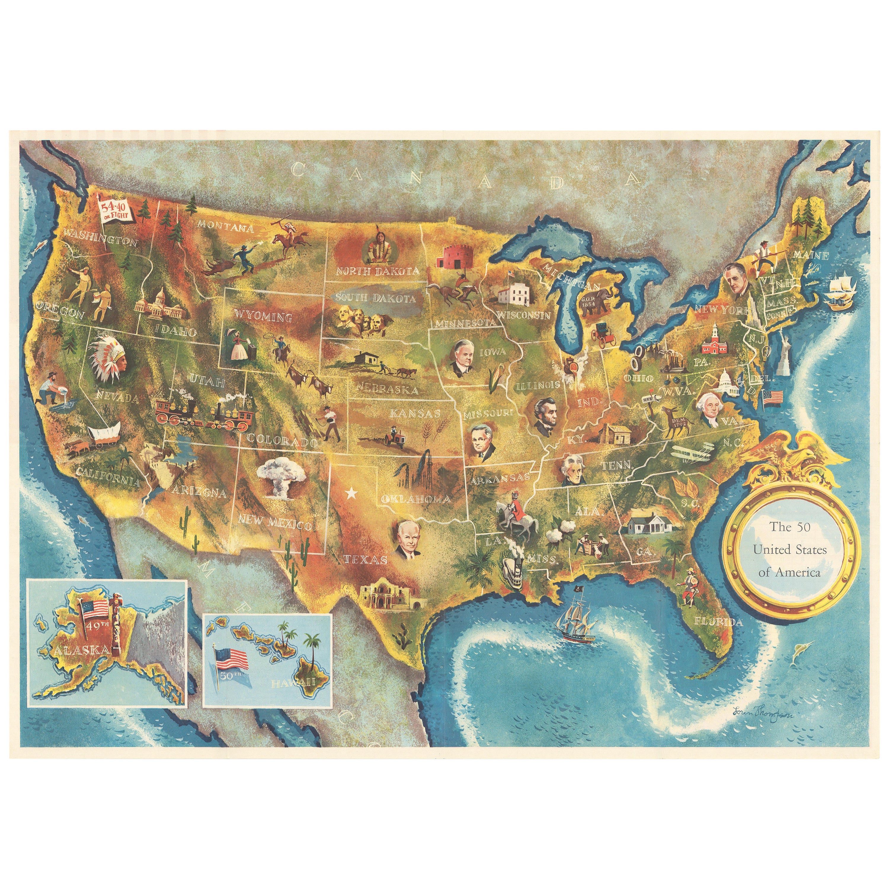
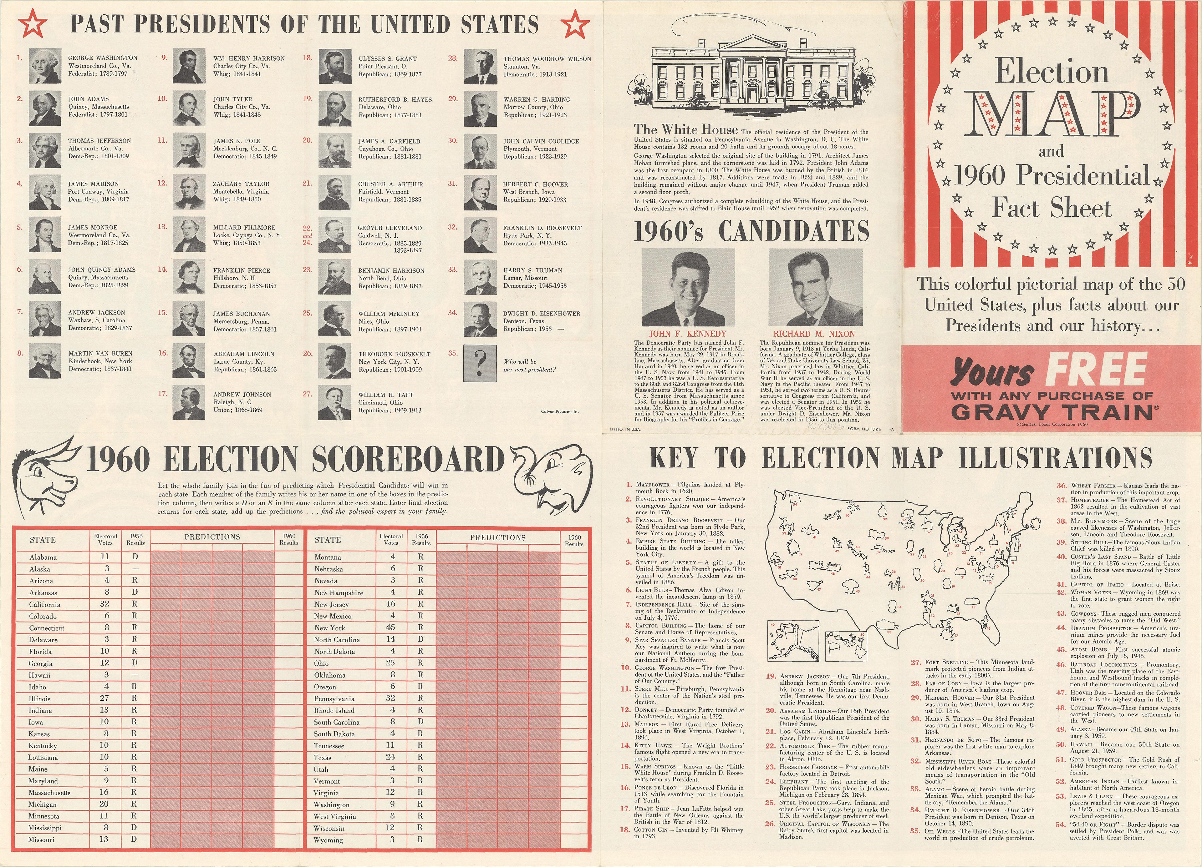
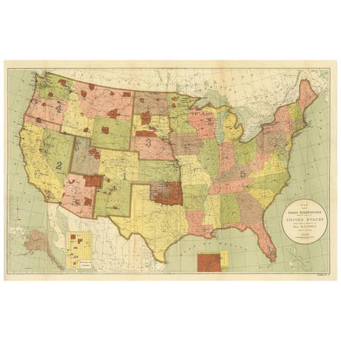
This colorful map of the United States was drawn by Lorin Thompson and published by the General Foods Corporation. The map has an unusual coloring style with symbols of American history including past presidents, Native Americans, important buildings (White House, Statue of Liberty, Alamo), agriculture, industry, and more. Includes inset maps of Hawaii and Alaska with small American flags noting they were the final two states added to the Union. The verso shows a list of past presidents, pictures of the two candidates (Kennedy and Nixon), a 1960 election scoreboard, and a key to the 54 illustrations on the map on recto. Self-folding with cover title "Election Map and 1960 Presidential Fact Sheet...Yours Free with Any Purchase of Gravy Train."Condition:
A clean and colorful example, issued folding.