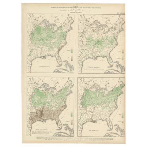
Original antique · The actual sheet photographed · Certificate of authenticity on request · Sold unframed · Worldwide shipping from € 15 (rates)
Date
1874
Sheet size
55 × 41 cm (21.7 × 16.1 in)
Condition
Good
Reference
BG-11875-34
What the condition grades mean
Excellent
Bright and clean, with no faults worth mentioning.
Very good
Only light signs of age, such as faint toning.
Good
Normal signs of age for a sheet of this period: toning, some foxing, small marks or neat old repairs.
Fair
Clear faults such as staining, tears or repairs, priced to match.
Every fault we see is written in the condition note, and the whole sheet is shown uncropped in the photos.
Condition
General age-related toning, minor wear. Blank verso. Please review the images for further condition details.
About this sheet
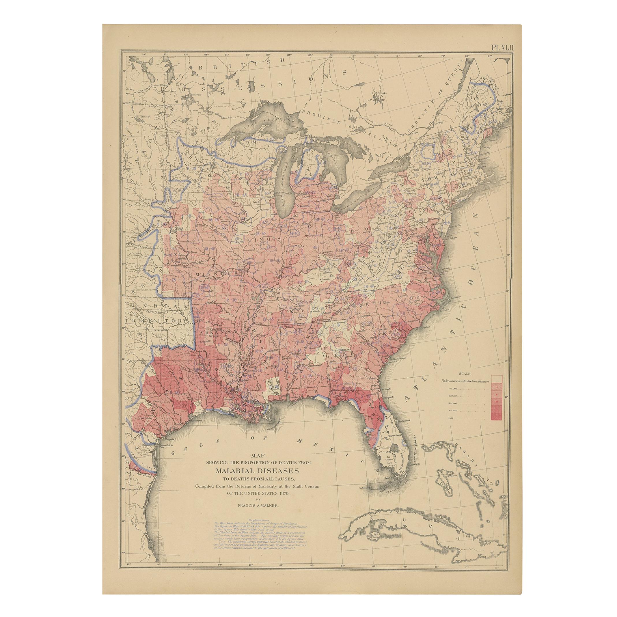
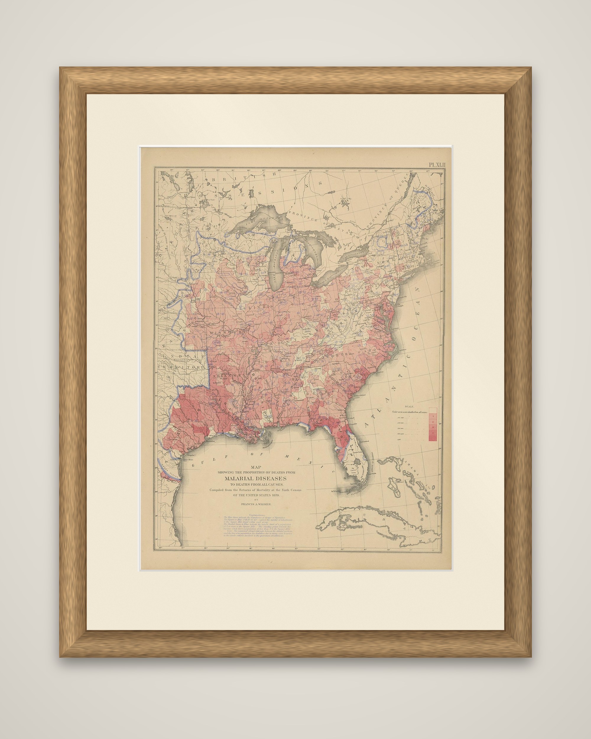
Malarial disease in the United States in 1870, an original color lithograph (Plate XLII) from the Statistical Atlas of the United States based on the results of the ninth census 1870, compiled by Francis A. Walker and published in 1874. The title reads "Map showing the proportion of deaths from malarial diseases to deaths from all causes", compiled from the returns of mortality at the ninth census.
The map covers the eastern United States, with the Great Lakes, Florida, the Gulf of Mexico, Cuba and the Bahamas outlined. Counties are tinted in pink and red, graded by a scale at the right, and the deepest tones lie in the lowlands of the South, along the Atlantic coast of the Carolinas and Georgia, Florida, the Gulf coast and the lower Mississippi valley. Blue lines mark districts at the west, and an explanation is printed beneath the title.
The plate belongs to the group on mortality in the atlas, drawn from the ninth census.