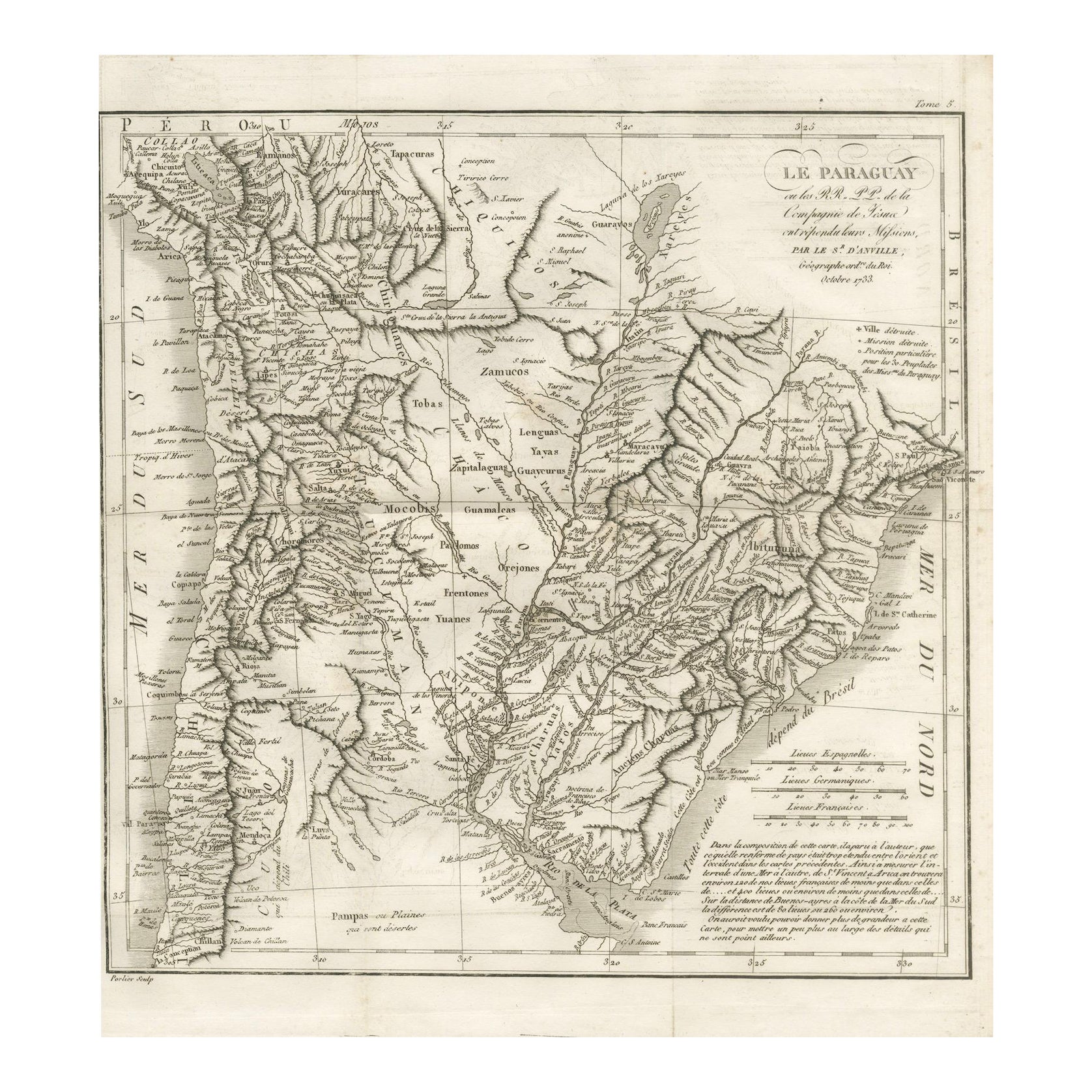
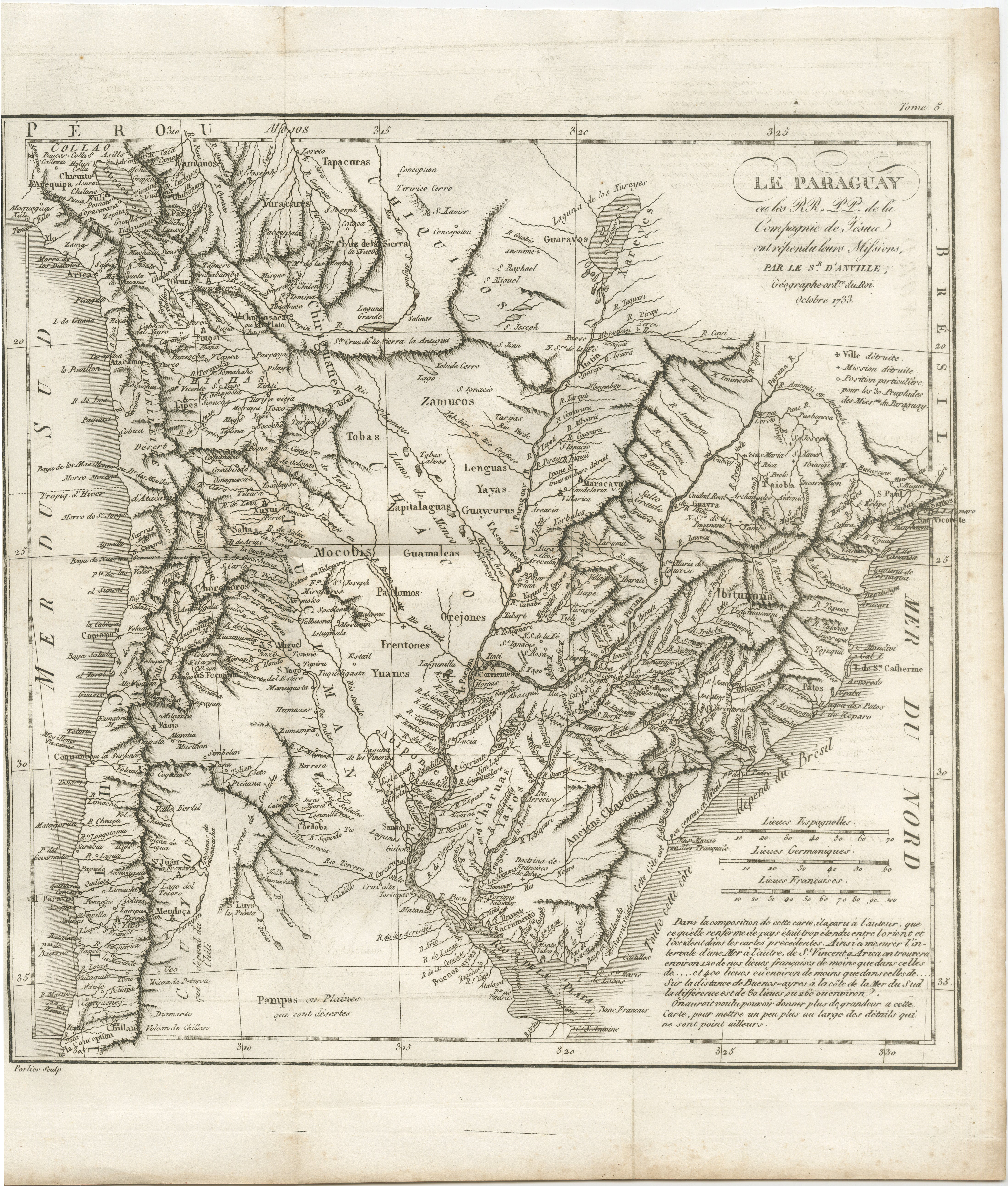
Antique Map of Paraguay and Jesuit Missions by D’Anville, 1733
€ 490
One of a kind: this is the sheet in the photographs. Ships from Langweer, the Netherlands.
Date
1733
Sheet size
35.9 × 31 cm (14.1 × 12.2 in)
Reference
BG-14078-39
Condition
Very good for age, with some light toning along fold lines and minor handling marks in margins. Central fold as issued. Paper is strong, with a well-defined plate mark visible, but left margin partly short.
About this sheet
Antique Map of Paraguay and Jesuit Missions by D’Anville, 1733
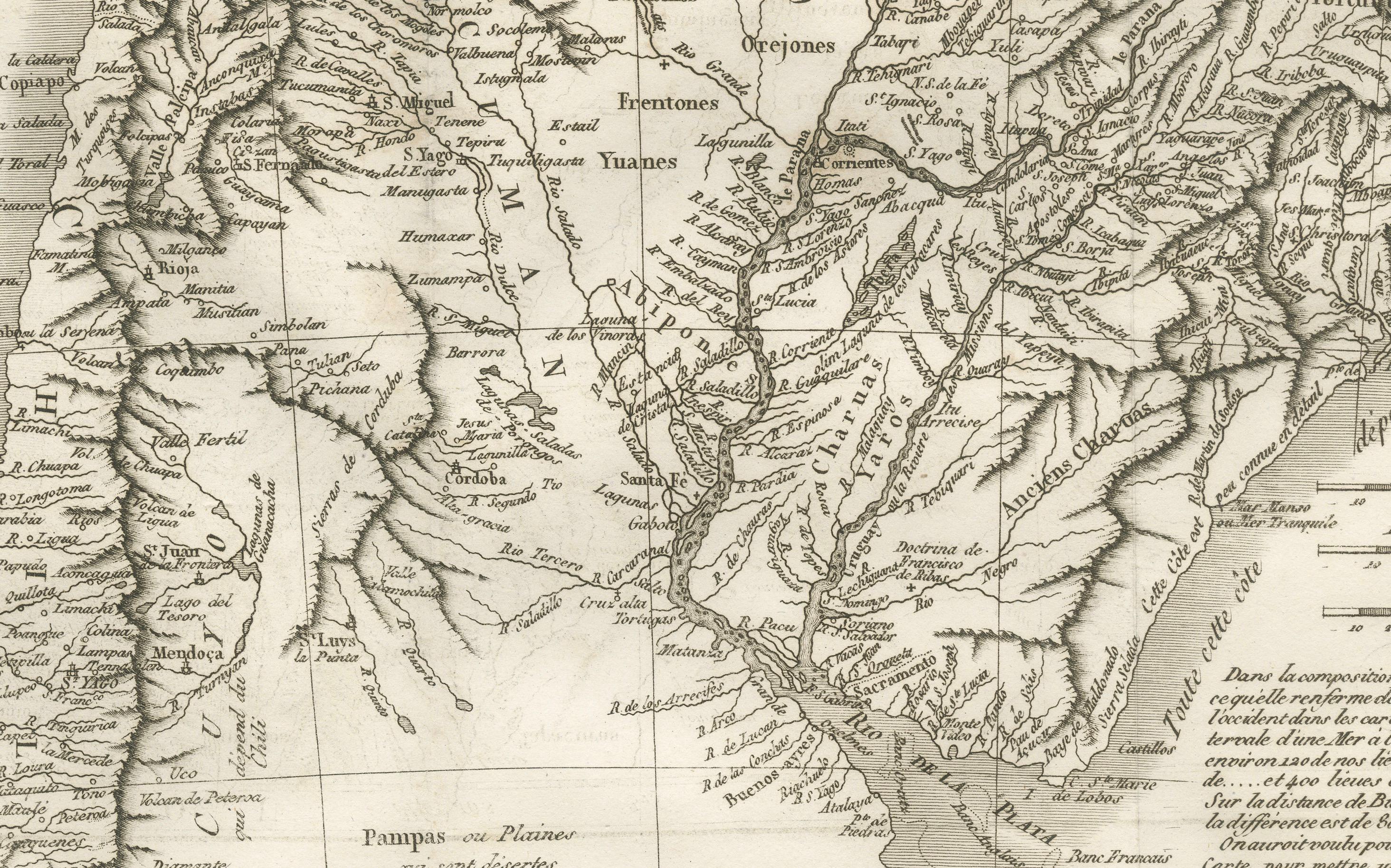
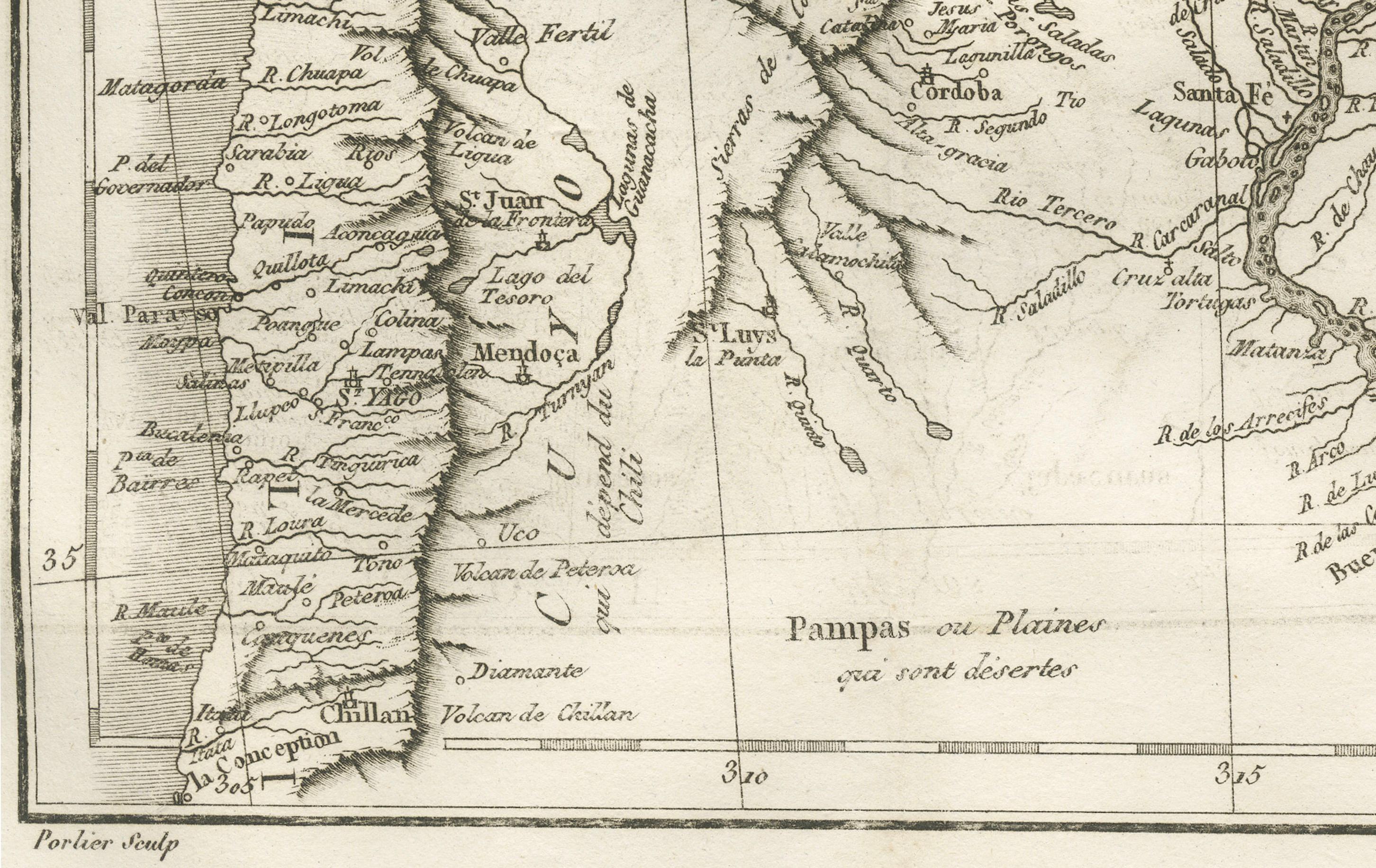
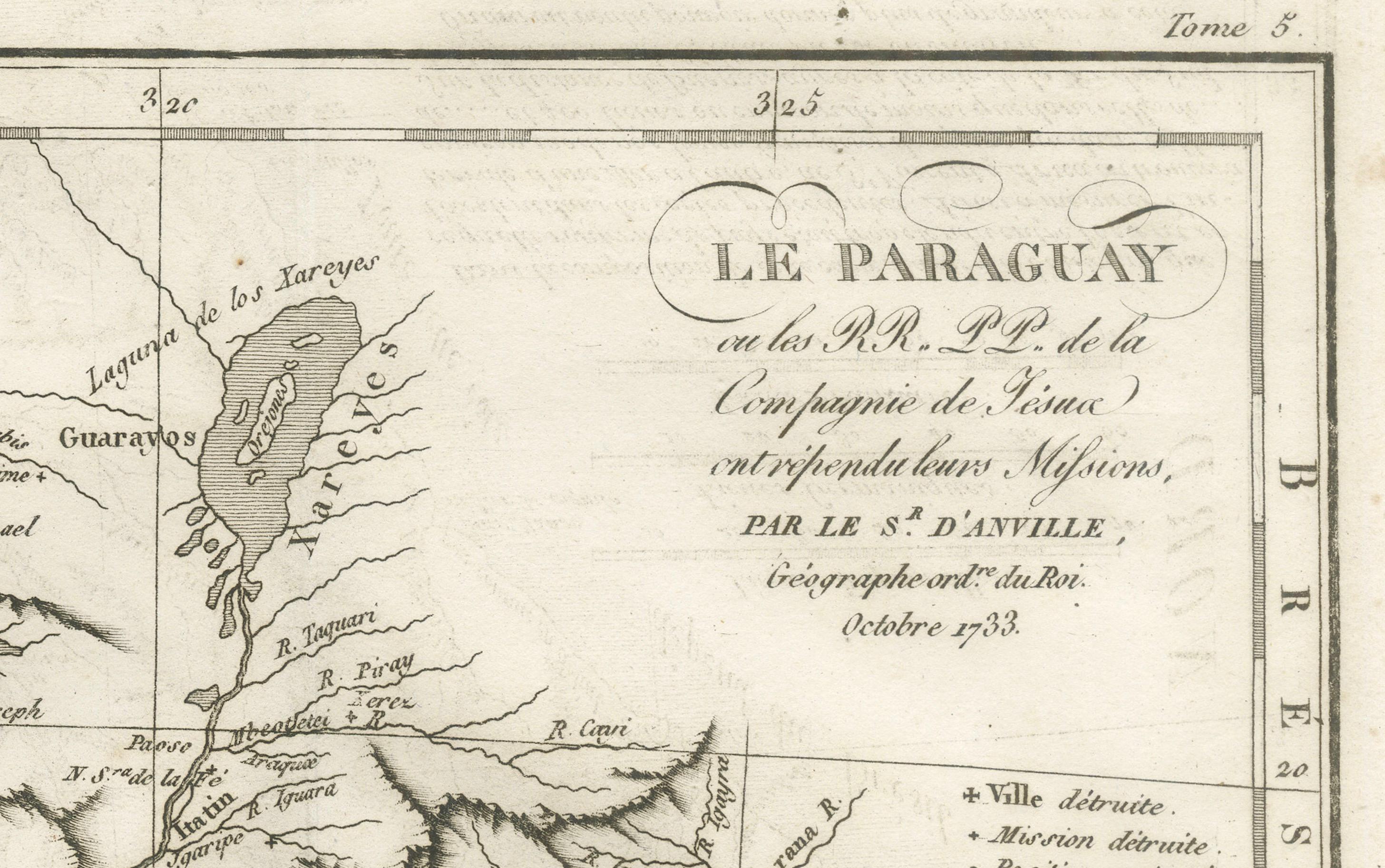
Antique map titled Le Paraguay. This finely detailed copperplate engraving depicts the region of Paraguay along with surrounding areas of present-day Argentina, Bolivia, and Brazil. Based on the work of French cartographer Jean Baptiste Bourguignon d’Anville, the map is dated October 1733.
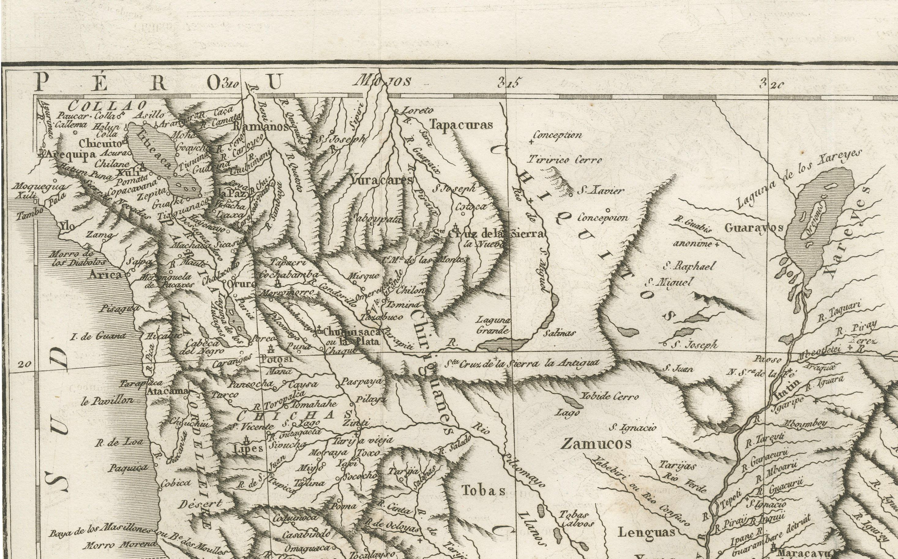
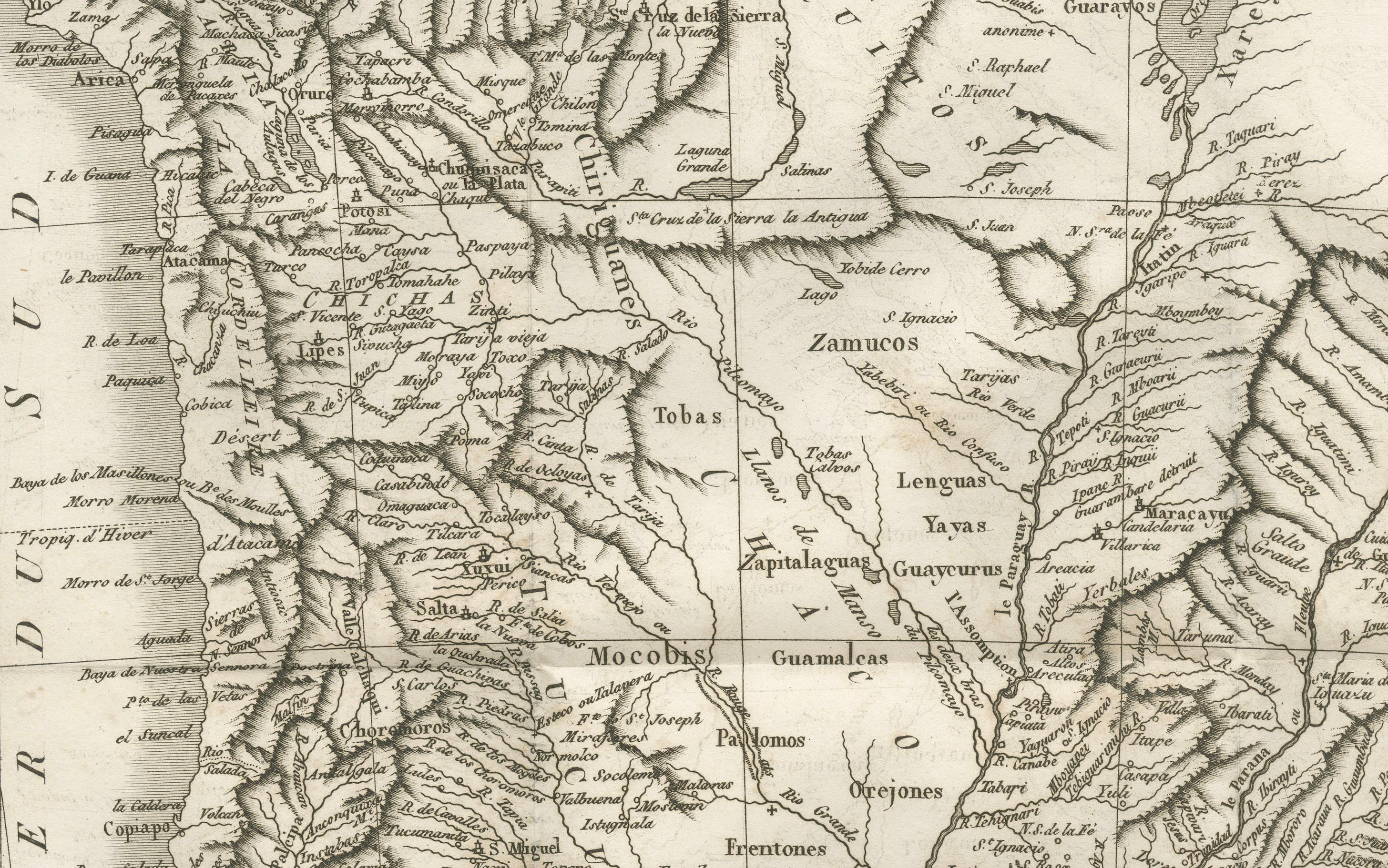
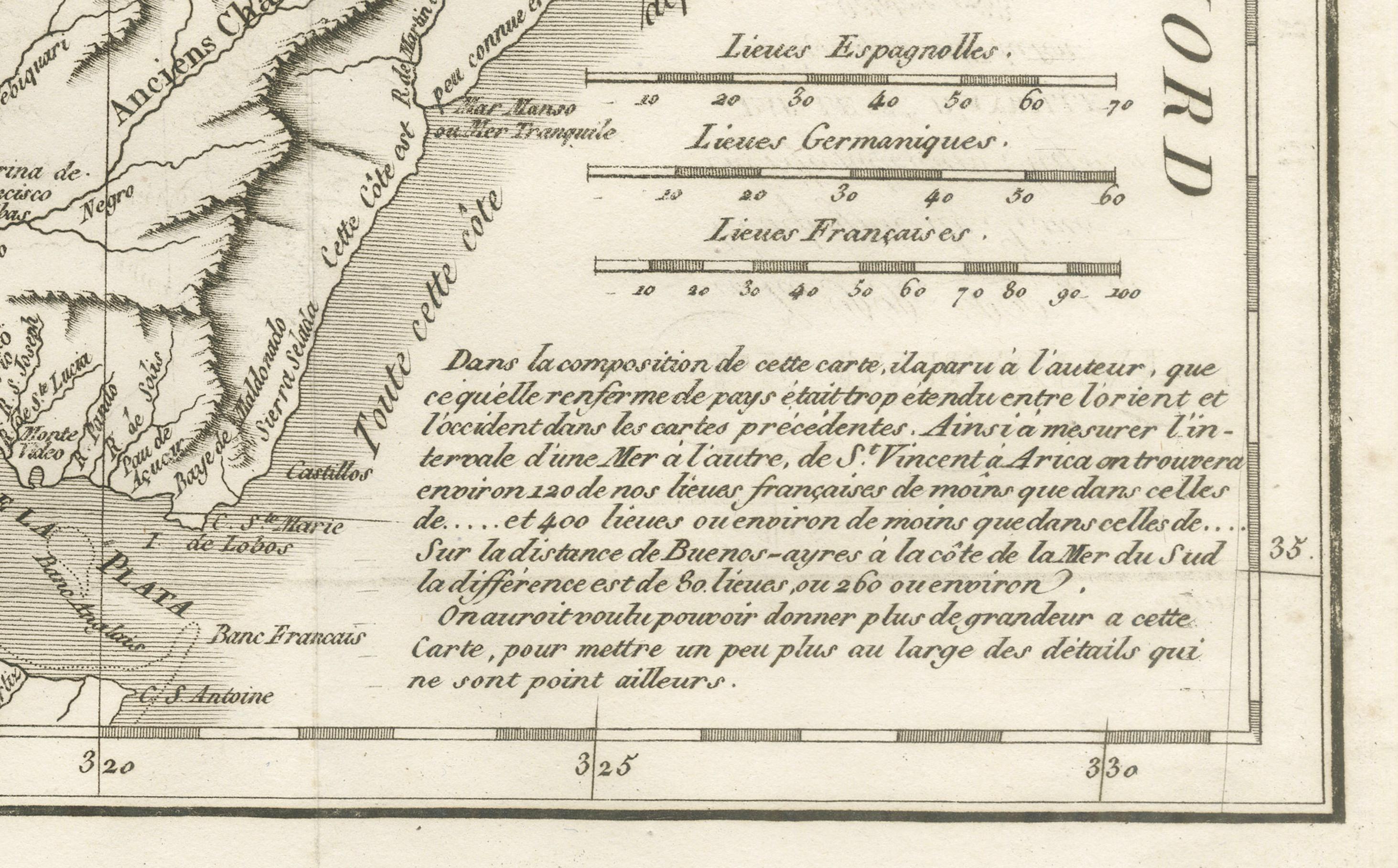
It was compiled from reports of Jesuit missionaries (R.R. P.P. de la Compagnie de Jésus) active in South America, and it reflects the geographical knowledge and political divisions of the early 18th century. Place names include indigenous settlements, Jesuit missions, rivers, mountain ranges, and colonial towns. The map shows the boundaries between Spanish and Portuguese territories, indicated by different line styles. Relief is depicted pictorially, and major river systems such as the Paraguay and Paraná are prominently engraved. The lower right contains a French text panel describing the scope and accuracy of the map.
Condition: Very good for age, with some light toning along fold lines and minor handling marks in margins. Central fold as issued. Paper is strong, with a well-defined plate mark visible, but left margin partly short.
Framing tips: A dark walnut or black wooden frame with a cream or lightly antiqued mat would complement the map’s aged paper tone and crisp engraving. UV-protective glass is recommended to preserve the paper and ink.
Technique: Copperplate engraving Maker: Jean Baptiste Bourguignon d’Anville, Paris, 1733