
Maps & PrintsBartele Gallery · Langweer
Home / Antique Maps / America / South America

South America · 18th century

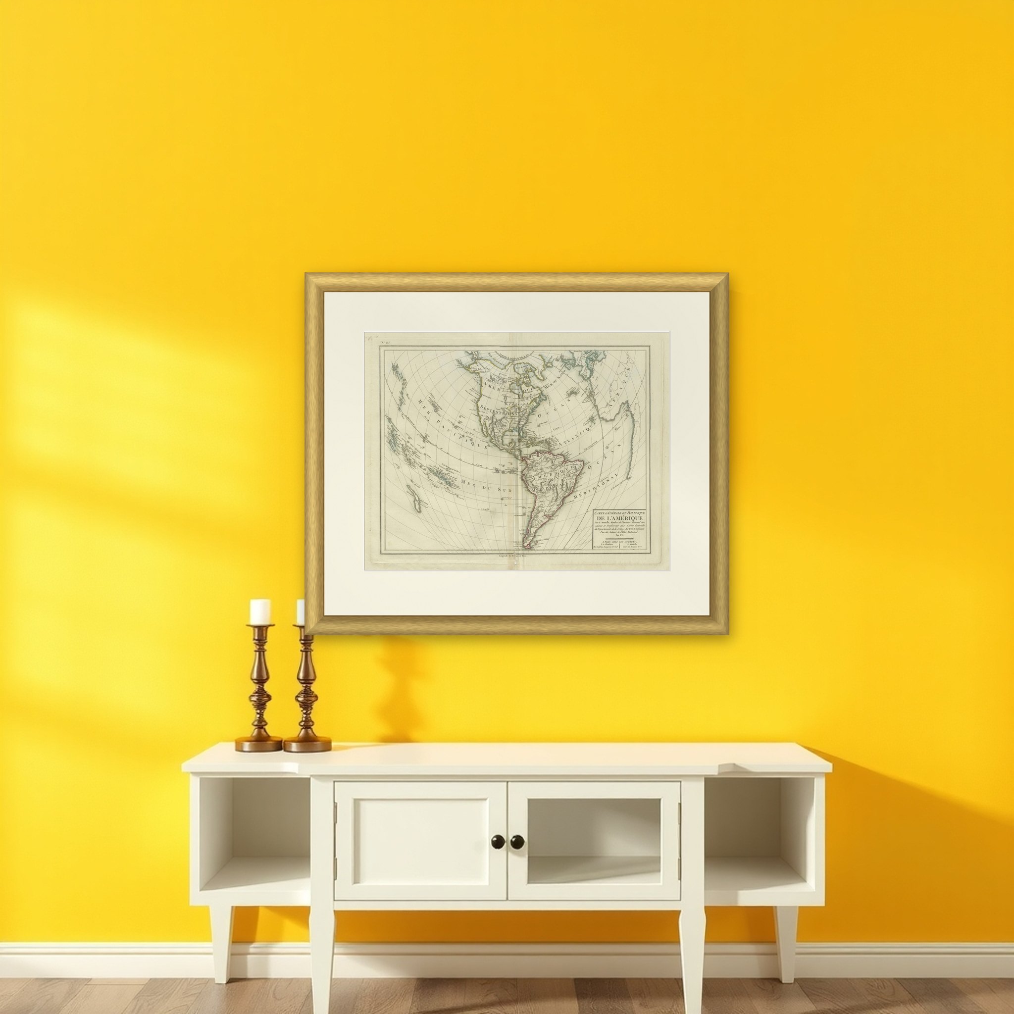
Antique Map of North and South America by Pierre Antoine Tardieu (1784-1869)

€ 520

Original antique · The actual sheet photographed · Certificate of authenticity on request · Sold unframed · Worldwide shipping from € 15 (rates)

Date
1784
Sheet size
41.5 × 56.5 cm (16.3 × 22.2 in)
Condition
Good
Reference
BG-13769-33
What the condition grades mean
Excellent
Bright and clean, with no faults worth mentioning.
Very good
Only light signs of age, such as faint toning.
Good
Normal signs of age for a sheet of this period: toning, some foxing, small marks or neat old repairs.
Fair
Clear faults such as staining, tears or repairs, priced to match.

Every fault we see is written in the condition note, and the whole sheet is shown uncropped in the photos.

Condition

Good condition with minor age-related wear. Hand-colored boundaries are well-preserved, enhancing the clarity of regions and features. Fold lines as issued with lower end a split. Edge wear due to handling and age visible. Study the images carefully.
About this sheet

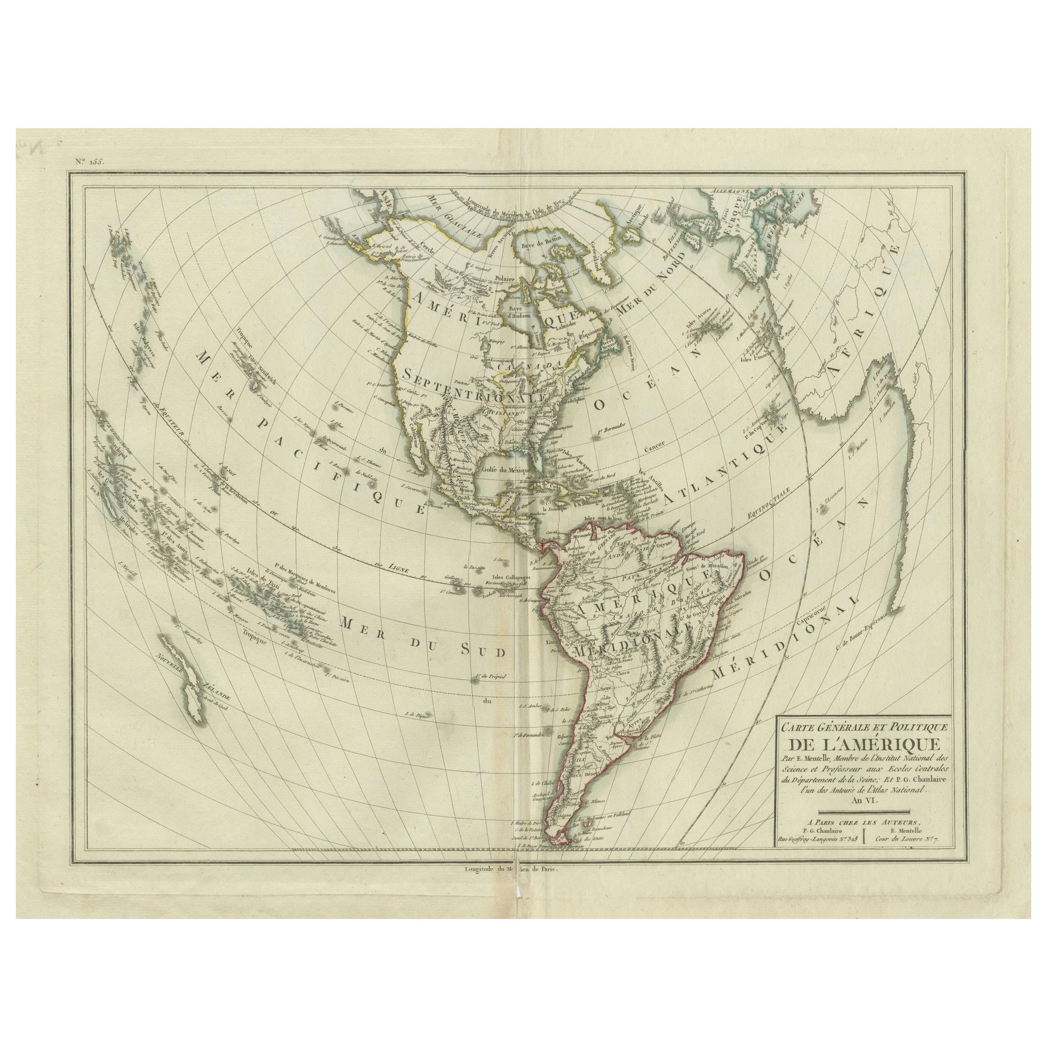
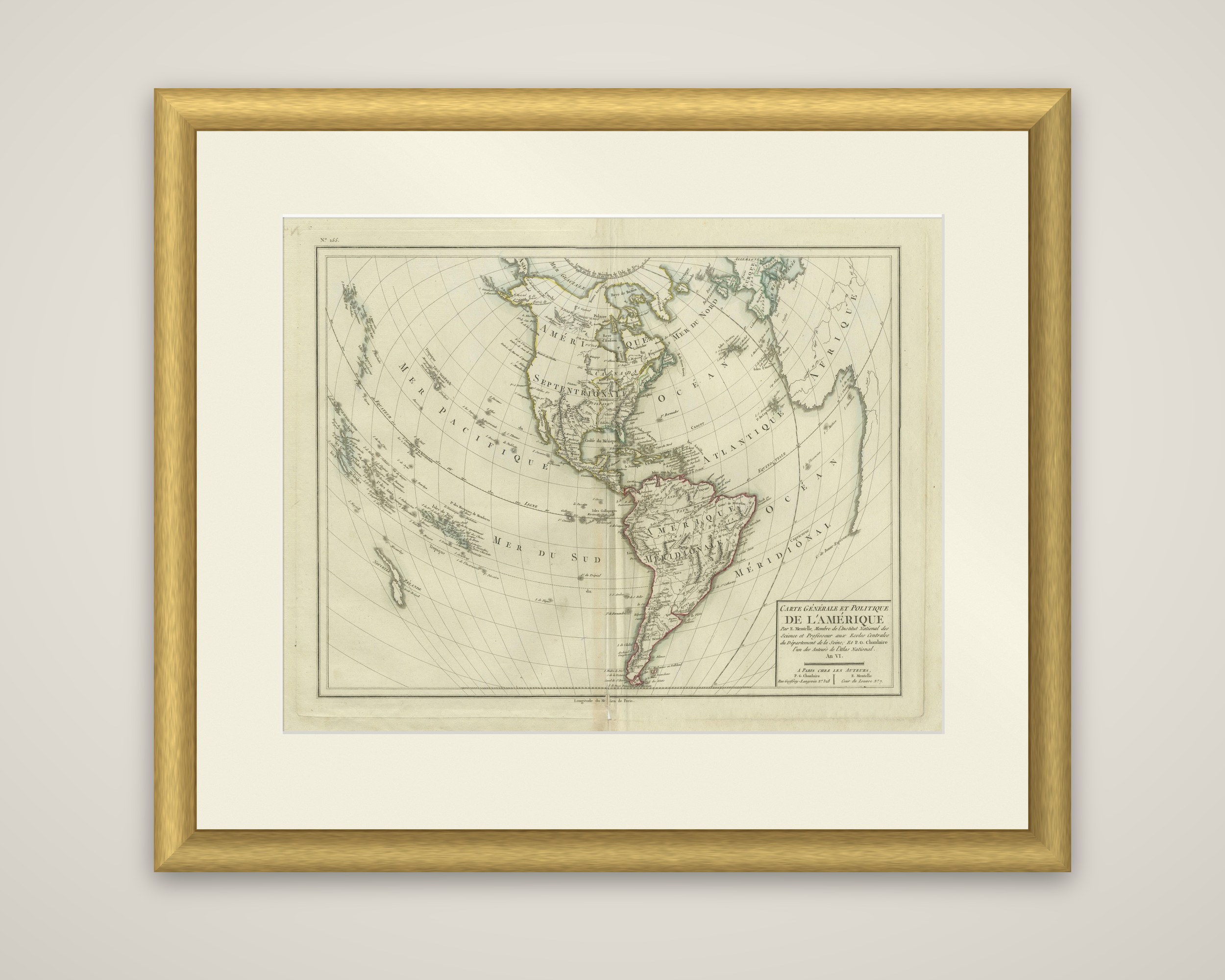
Carte Générale et Politique de l'Amérique, a map of North and South America engraved in Paris. The imprint credits E. Mentelle, of the Institut National des Sciences and professor at the Écoles Centrales of the Seine, and P. G. Chanlaire, one of the authors of the Atlas National, and gives the date as An VI of the French Republic (1797 to 1798), "À Paris chez les Auteurs". It is an original copper engraving with hand-colored outlines.

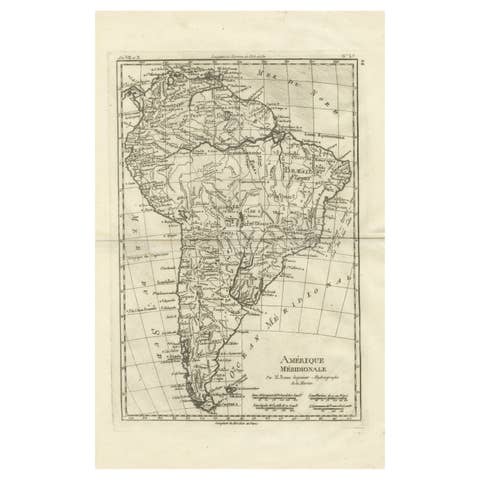
The map is drawn on a bent projection that places the two continents together across the sheet, with the Pacific, "Mer du Sud" and "Mer Pacifique", at the left and the Atlantic at the right, where a corner of Africa shows. The title block sits at the lower right. North America is labeled "Amérique Septentrionale" and South America "Amérique Méridionale", the latter outlined in pink. Hudson Bay, the Great Lakes, the Gulf of Mexico, the Caribbean islands and the Pacific island groups are all drawn, with a fine network of meridians and parallels over the whole.

More from South America

Ask about this sheet

Antique Map of North and South America by Pierre Antoine Tardieu (1784-1869)
1784 · Ref. BG-13769-33 · € 520
We reply by email, usually within one working day.

Your favorites

Saved in this browser. Email the list to yourself to keep it on any device.

We use your email to send this list and, only if you tick the box and confirm, for occasional new arrivals. Every email has an unsubscribe link. Bartele Gallery, the Netherlands.