About this sheet
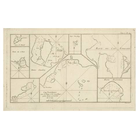
Antique Map of Cordes Bay, Port Famine & Fortescue Bay – Patagonia, 1774
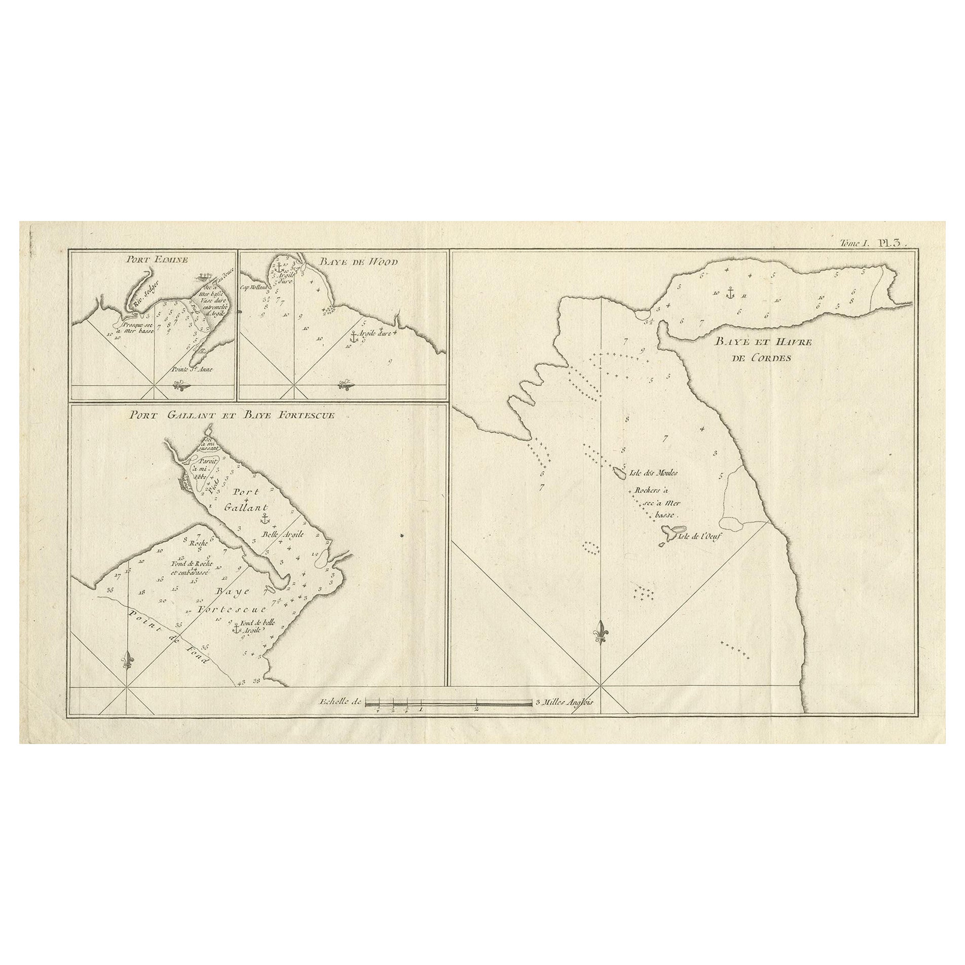
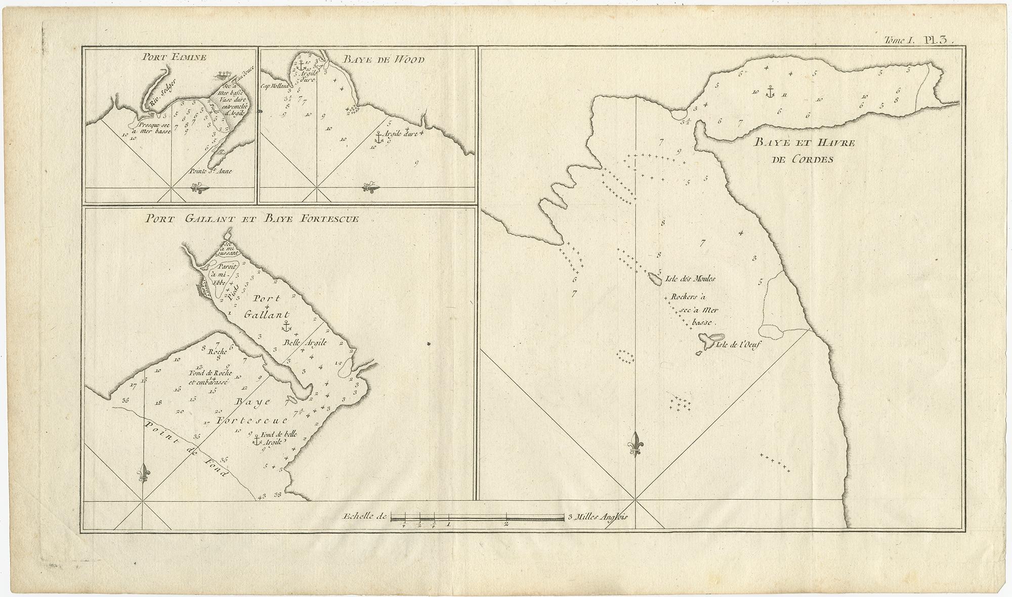
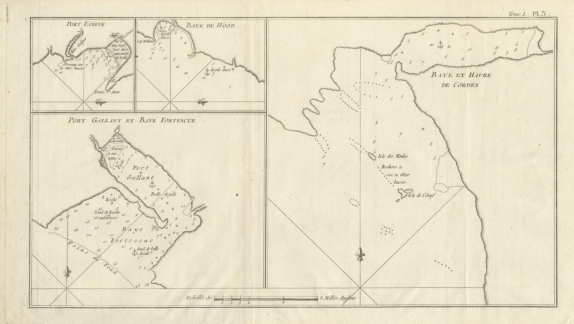
Antique engraved nautical map depicting several key coastal locations in southern Patagonia, presented as four separate charts on a single sheet. The maps show Baye et Havre de Cordes, Port Famine, Woods Bay, Port Gallant, and Fortescue Bay, all strategically important anchorages along the Strait of Magellan and adjacent coasts of southern Chile.
Each chart is carefully engraved with coastlines, soundings, anchor symbols, and directional lines, reflecting their practical function for navigation. The inclusion of multiple bays on one sheet highlights the hydrographic priorities of eighteenth-century exploration, focusing on safe harbors and coastal access points in one of the most challenging maritime regions of the world.
These surveys are based on observations made during the voyage of John Byron, who sailed through the Strait of Magellan in the 1760s. The region around Port Famine, infamous for earlier failed colonial attempts and harsh conditions, was of particular interest to British and French navigators seeking reliable routes and anchorages in the Southern Hemisphere.
The map was published around 1774 in the French edition of An Account of the Voyages Undertaken by the Order of His Present Majesty, edited by John Hawkesworth. Hawkesworth’s monumental work compiled the discoveries of several major British expeditions, including those of Byron, Wallis, and Cook, and stands as one of the most important printed records of eighteenth-century Pacific and South American exploration.
This sheet is a fine example of Cook-era maritime cartography, combining precise coastal surveys with an elegant engraved presentation. It is firmly situated within the context of South American and Patagonian exploration and bears no relation to European port cities sharing similar names.
An appealing and historically significant map for collectors of early exploration, nautical charts, and the cartography of Patagonia and the Strait of Magellan.
Condition
Good original condition with light age-related toning and minor handling wear consistent with eighteenth-century engraved maps. A central vertical fold as issued. No later coloring or restoration observed.
Framing tips
This map benefits from a wide ivory or off-white mat to balance the multiple charts, framed in dark walnut or ebonized wood. Museum glass is recommended to protect the fine engraved lines and subtle coastal details.
Technique: Engraving
Maker: Published by John Hawkesworth, London / Paris, circa 1774